Kamphaeng Phet is a town on the Ping River in lower northern Thailand, and it is one of the three towns on the UNESCO listing that also covers Sukhothai and Si Satchanalai. Wikivoyage calls it largely ignored by tourists, which is part of the appeal: the ruins are spread through light forest, the town is small, and the mountains with their waterfalls are an hour or so to the west. There is no railway here, so most people arrive by bus or car and treat it as one or two nights on the long road between Bangkok and Chiang Mai.
This guide uses only facts we could check on 16 October 2026 on the sources listed below, and it says where they disagree. Several entrance fees and opening hours come from Wikivoyage entries last updated in 2017, so check them at the gate. For hotels, read where to stay in Kamphaeng Phet, or the Thai version, ที่พักกำแพงเพชร.
What Kamphaeng Phet is like
The name means wall as hard as diamonds, Wikivoyage says, and TAT adds that the town was formerly known as Chakungrao. Wikipedia describes a royal city of the Sukhothai Kingdom that formed part of the defences of Sukhothai and later Ayutthaya. UNESCO puts it at the southern frontier of the Sukhothai kingdom, with military functions in protecting the kingdom and its trading network, and gives the Kamphaeng Phet part of the listing as 338 hectares.
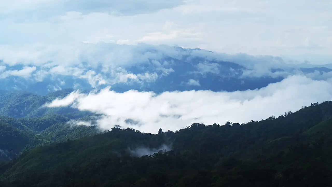
The province is large, about 8,512 square kilometres by Wikipedia's figure. River plains fill the east, and the west is mountainous forest in the Dawna range, where three national parks sit. Bananas are the local product: Wikipedia names the small, round, sweet kluai khai, and TAT adds Chakungrao grass jelly. Wikivoyage says the town centre can mostly be covered on foot and that it is relatively bicycle-friendly, but it also says there is no regular public transport and that much of the town shuts by 20:00 to 21:00, so plan dinner early.
Getting to Kamphaeng Phet
Wikivoyage says Kamphaeng Phet is not on the rail network, the nearest station is Phitsanulok, and most visitors arrive by bus or on Asian Highway 1. The table gives what each source says.
| From | How | What the sources say |
|---|---|---|
| Bangkok | Intercity bus | Wikivoyage lists buses from Mo Chit about hourly, five to six hours, at 204 or 263 baht (an older figure). The 12Go page showed 8 buses, from THB 383, with Transport Co, Sritawong Tour and Cherdchai Tour North |
| Bangkok | Taxi or private car | The 12Go page showed 19 taxis, from THB 4,837 |
| Bangkok or Chiang Mai | Drive | Wikivoyage says 4 to 4.5 hours on Route 1; Scenic Riverside Resort says about 320 km and 4 hours via highways 32 and 1 |
| Phitsanulok | Local bus | Wikivoyage says hourly non-air-conditioned buses take nearly three hours for about 100 km |
| Sukhothai | Bus or songthaew | Wikivoyage says about 1.5 hours by bus, or up to 2.5 hours by songthaew |
| Tak | Bus | Wikivoyage says about 70 km, 1 hour 10 minutes on Chiang Mai-bound buses |
| By air | Phitsanulok or Sukhothai | Wikivoyage says public transport from those airports to town is inconvenient and slow, so only fly in if someone collects you or you rent a car |
Where the sources disagree
| Item | What we found |
|---|---|
| Distance from Bangkok | About 320 km (Scenic Riverside Resort), 358 km (Chakungrao Riverview Hotel), and 340 to 370 km from the two Bangkok airports (Wikivoyage) |
| Bus fare | 204 or 263 baht in Wikivoyage; from THB 383 on the 12Go page we opened |
| Museum hours | Wednesday to Sunday 09:00-16:00 (TAT) against 09:00-16:30 (Wikivoyage) |
| Khlong Lan park hours | 06:00-18:00 daily, and in the same TAT description 09:00-17:00 |
We recommend treating the larger or later figure as the safer plan and confirming with the operator or park on the day.
Booking the trip
The 12Go page for Bangkok to Kamphaeng Phet showed 27 trips when we opened it in a browser on 16 October 2026, for a Sunday departure and two travellers: buses from Transport Co, Sritawong Tour and Cherdchai Tour North, and taxis. It listed no train and no flight. Prices on that page ran from THB 383 to THB 8,775 and change daily, so treat them as a snapshot. We link it as a convenient place to compare, and some links on this site may earn us a commission; this does not change the times or fares you see.
Wikivoyage says the main bus terminal is about 2 km outside the city centre, on the other bank of the Ping River, and that songthaews and tuk-tuks from there run irregularly. Ask your hotel to arrange a pickup, or book a ride before you arrive.
Kamphaeng Phet Historical Park
The Fine Arts Department says the park opened on 18 April 1991 and covers 3.34 square kilometres in two areas: the rampart area inside the old town wall, and the Aranyik area on a gravel hill outside the northern wall. The old town is trapezoid-shaped and runs parallel to the Ping, and Wikipedia says its laterite structures follow the same planning idea as Sukhothai and Si Satchanalai. Wikivoyage describes three parts: the inner district, the Aranyik forest district, and Nakhon Chum across the river.
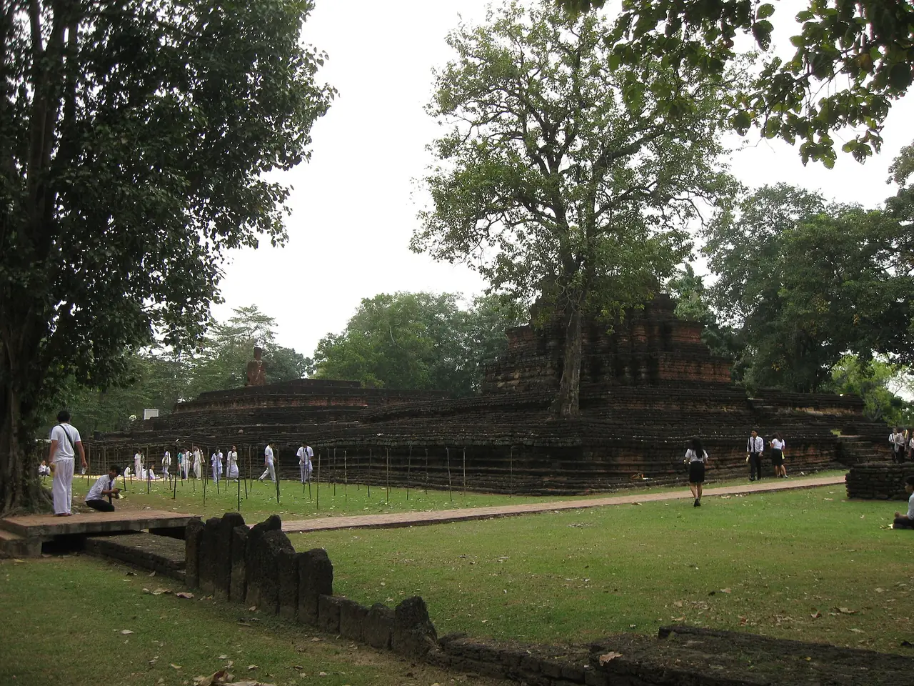
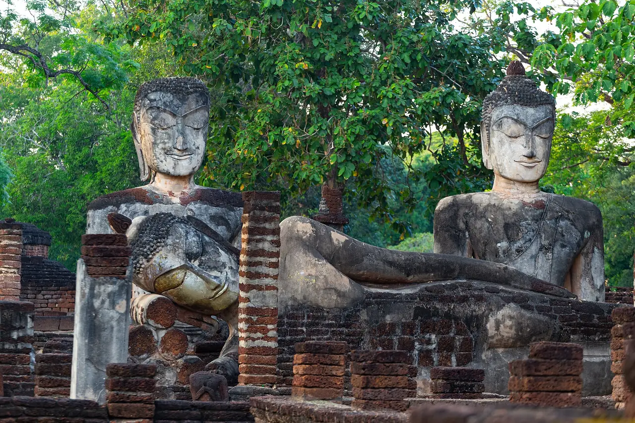
Inner district. Wikipedia describes Wat Phra Kaeo as a large royal temple with a principal chedi on a lion-adorned base and a round chedi on an elephant-adorned base. Wat Phra That is second in size, and Sa Mon is the site of the palace to the north with no standing structures left. Wikivoyage calls the reclining Buddha of Wat Phra Kaeo arguably the most beautiful statue in the park.
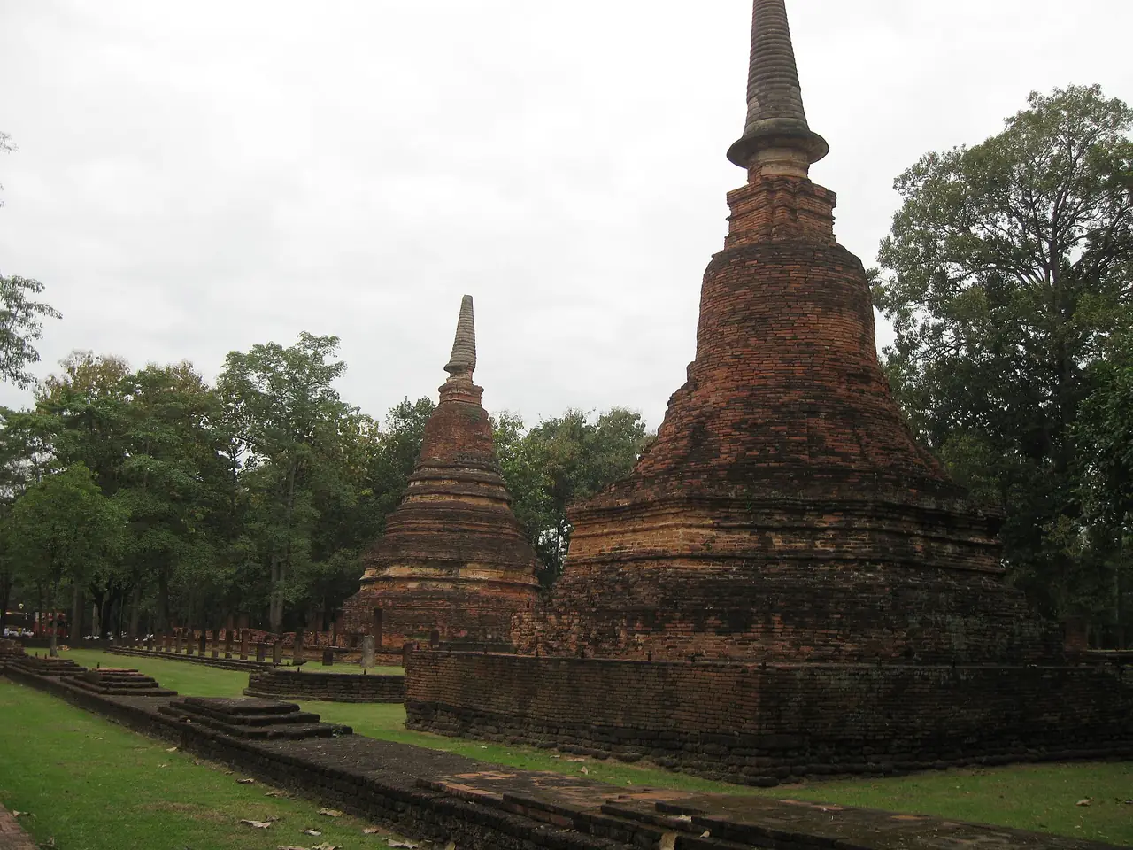
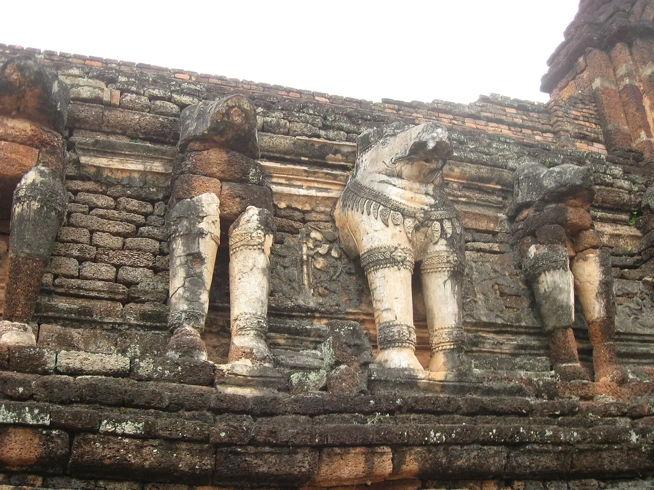
Aranyik (forest) district. Wikivoyage describes the larger, lightly wooded area as the hermitage ruins of forest monks, pleasant on foot or by bicycle. Wikipedia lists Wat Chang Rop, a large temple on a hill whose chedi base is adorned with 68 half-elephants, Wat Phra Non, where a single laterite column 6.4 m high is described as the largest such stone in the country, and Wat Phra Si Iriyabot, where a mondop once held Buddha images in four postures and only the standing one remains.
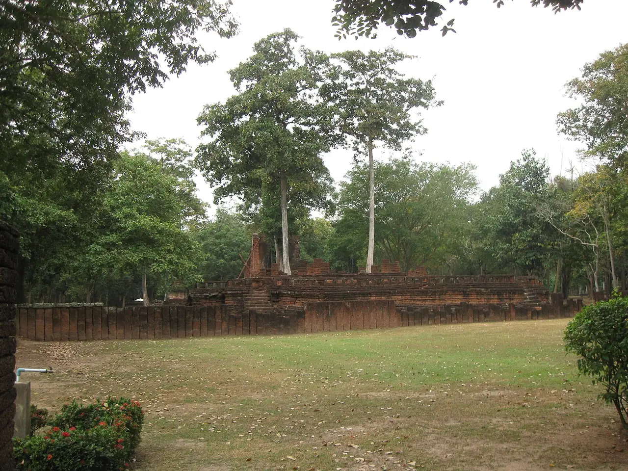
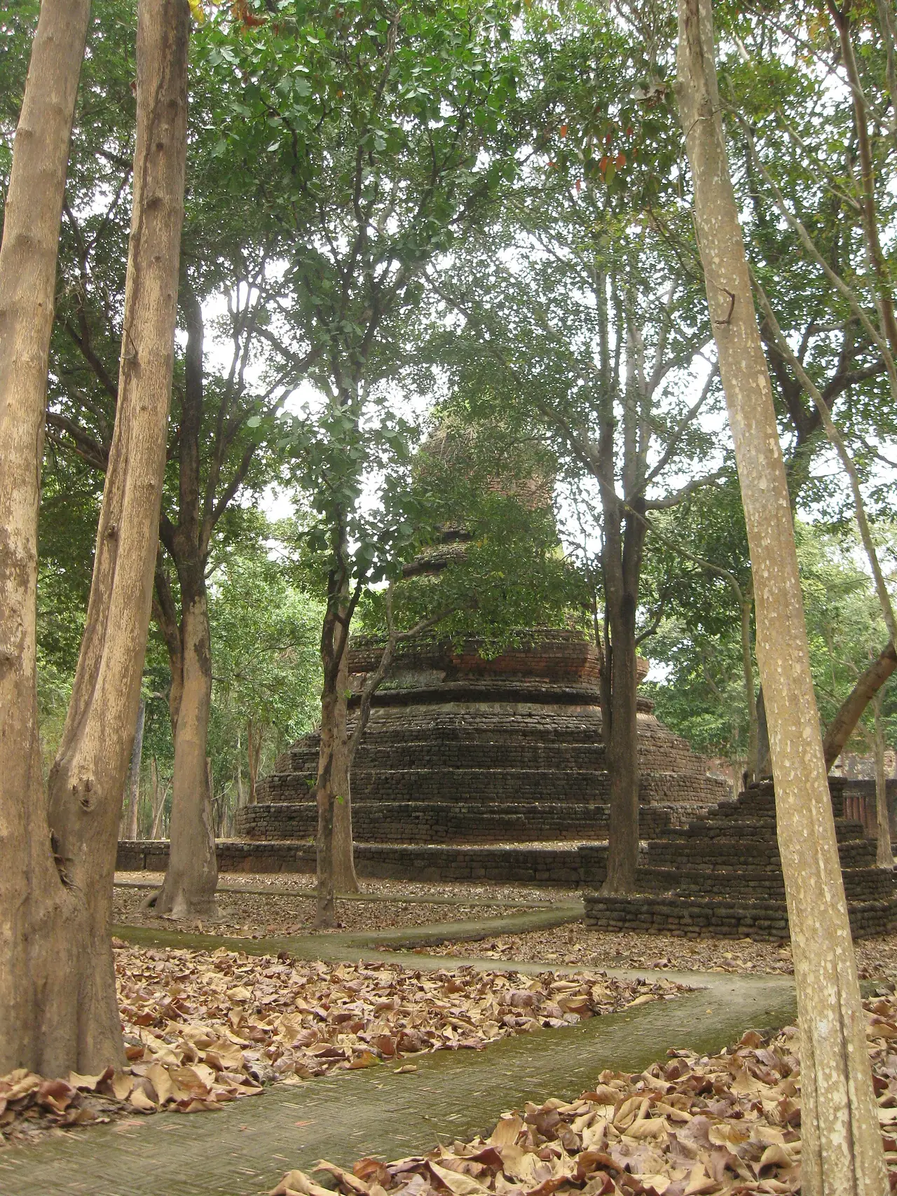
Fees and hours. Wikivoyage lists 100 baht for the inner district, 100 baht for Aranyik and 150 baht for a combined ticket, with fenced zones open daily 08:00-18:00 and the walls and Nakhon Chum sites free. That entry is dated 2017 and we could not open an official fee page, so confirm at the gate. Wikivoyage also says bicycles can be rented at the Aranyik entrance, at 30 baht an hour in its 2017 listing.
More in and around town
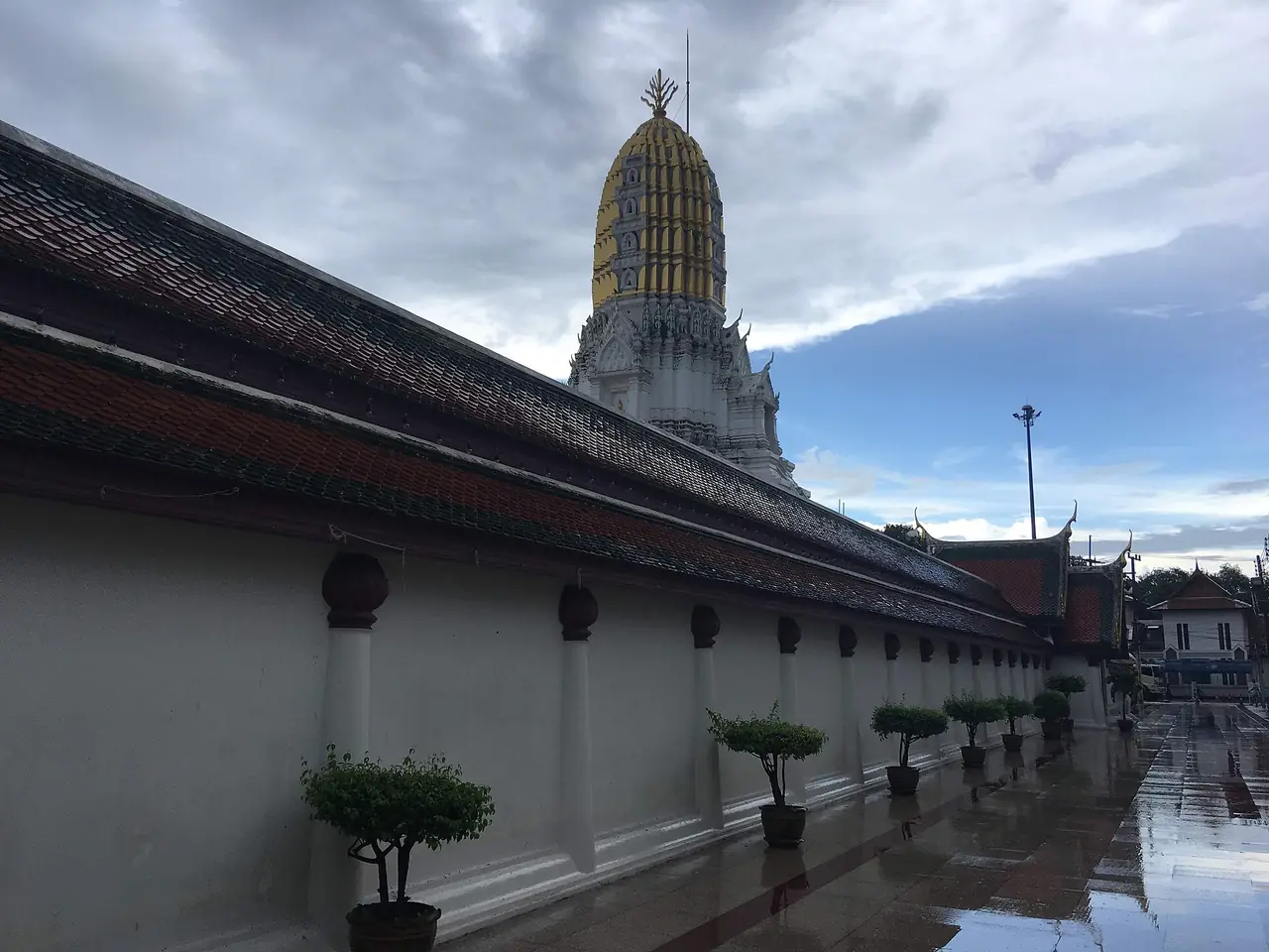
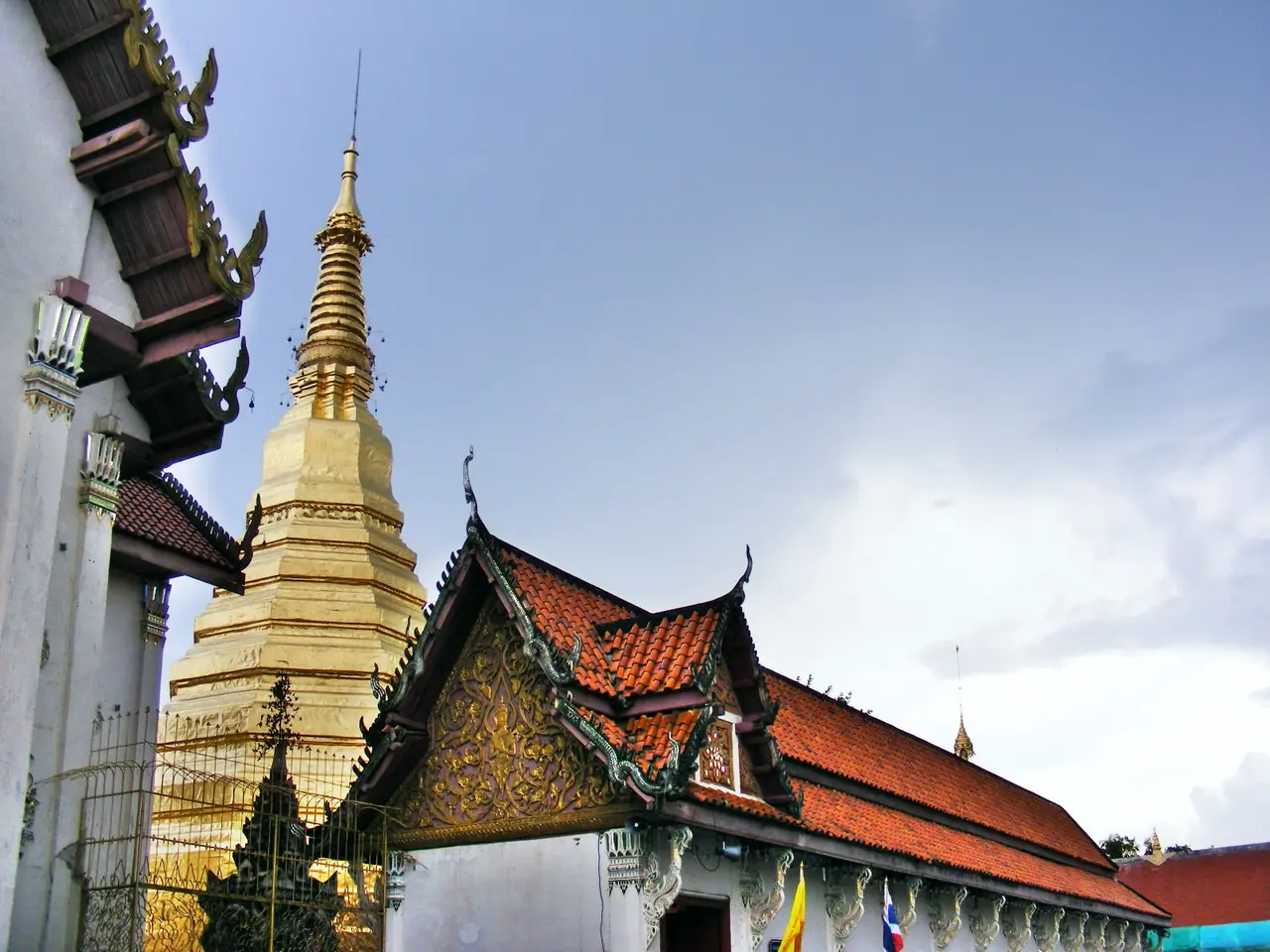
Nakhon Chum. TAT highlights the Nakhon Chum retro market, where merchants dress in Thai clothes. Wikivoyage describes Wat Phra Borommathat, in Nakhon Chum, as one of the oldest temples in the area and the only ancient monastery of the park that is still active, with a tall gold-covered pagoda. Nakhon Chum is also the west-bank place for several resorts.
Museums. TAT lists the Kamphaeng Phet National Museum at 174 Pin Damri Road, open Wednesday to Sunday, admission 100 baht, with a restored bronze Shiva sculpture whose head and hands were removed in the reign of King Rama V. Wikivoyage also lists the Chaloemphrakiat (Thai House) museum, with a banana orchard beside it growing more than 150 varieties.
Temples, shrines and the river. Wikivoyage lists Wat Khu Yang in the town centre, with a wooden stilted library, the city pillar shrine, a Shiva shrine, a castle-like clock tower made of laterite, and a waterside promenade with Sirichit Park.
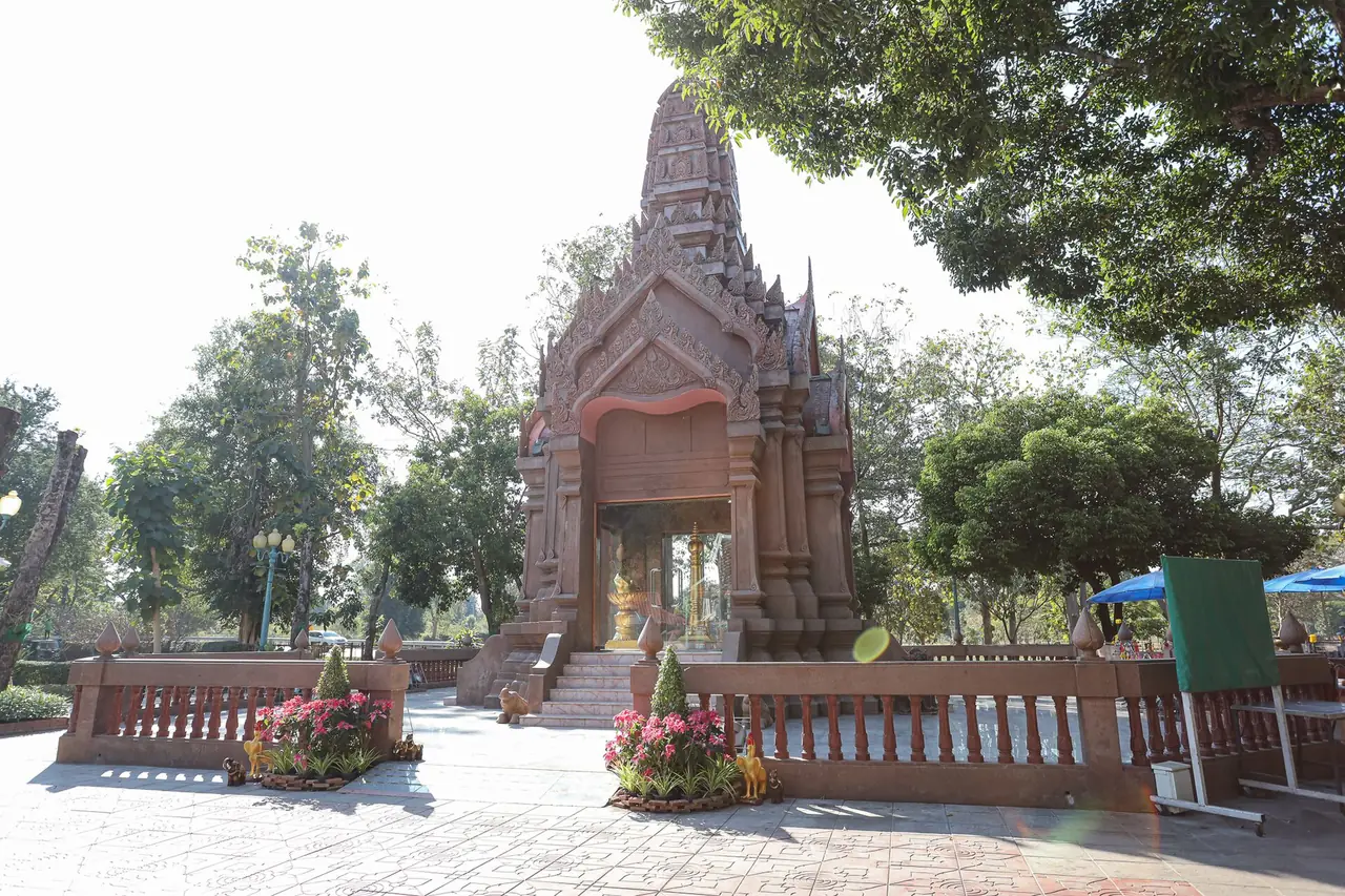
Muang Trai Trung. TAT describes this ancient town 18 km from Kamphaeng Phet, a rectangular enclosure 450 m by 800 m beside the Ping with remains of a wall and stupa, and the temples Wat Jed Yod and Wat Phra Prang inside.
Mountains and waterfalls
Three national parks lie in the west, and TAT lists a foreigner entrance fee of 200 baht for adults and 100 for children at each. Fees and hours change, so check with the park.
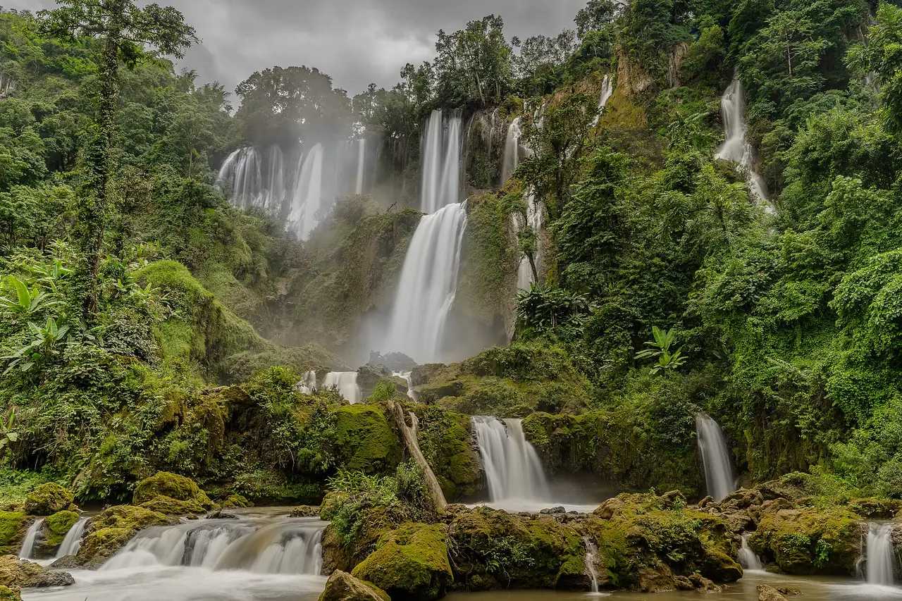
Khlong Lan National Park. TAT says the park covers some 300 square kilometres, with a 95-metre waterfall called Namtok Khlong Lan, a nine-level cascade called Namtok Khlong Nam Lai off Highway 1117 at Km 35 and 10 km in, and the rocks of Kaeng Ko Roi (Hundred Island Rapids). Overnight camping is permitted. The headquarters is about 60 km from town on Highway 1117.
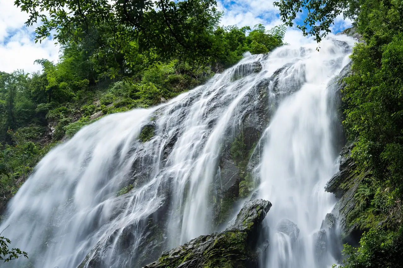
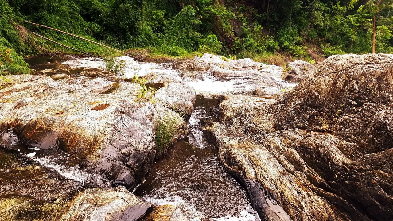
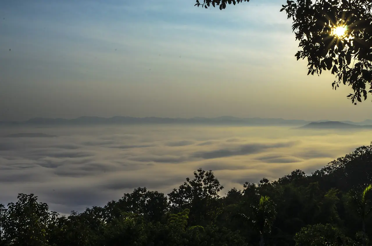
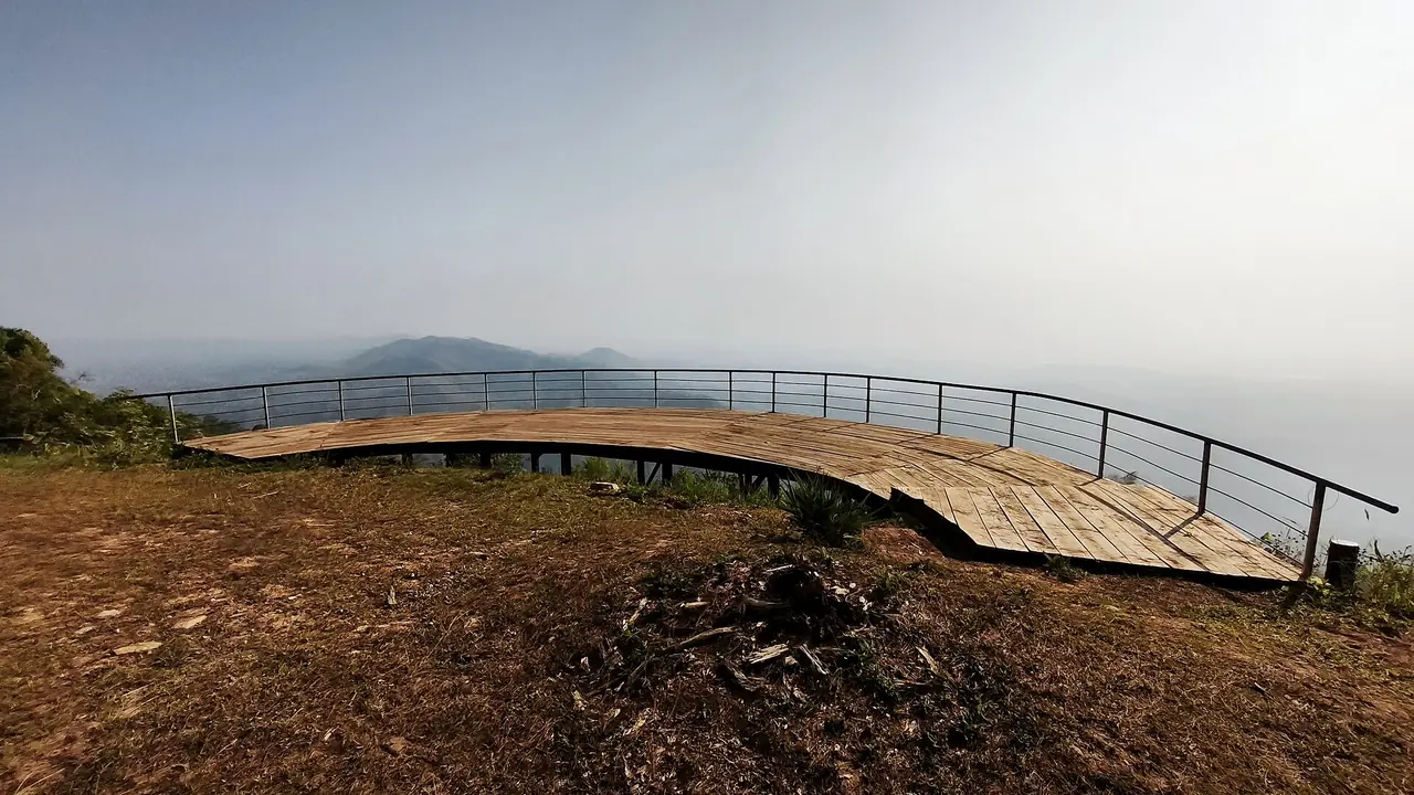
Mae Wong National Park. TAT says nearly 900 square kilometres of forest hold elephants, gaur, tigers and hornbills, with the Chong Yen cliff viewpoint and a five-day trek to the Mo Ko Chu summit at 1,964 metres. TAT's province page says Mokju's summit is covered with fog in winter. Wikipedia says the park lies in Nakhon Sawan and Kamphaeng Phet provinces.
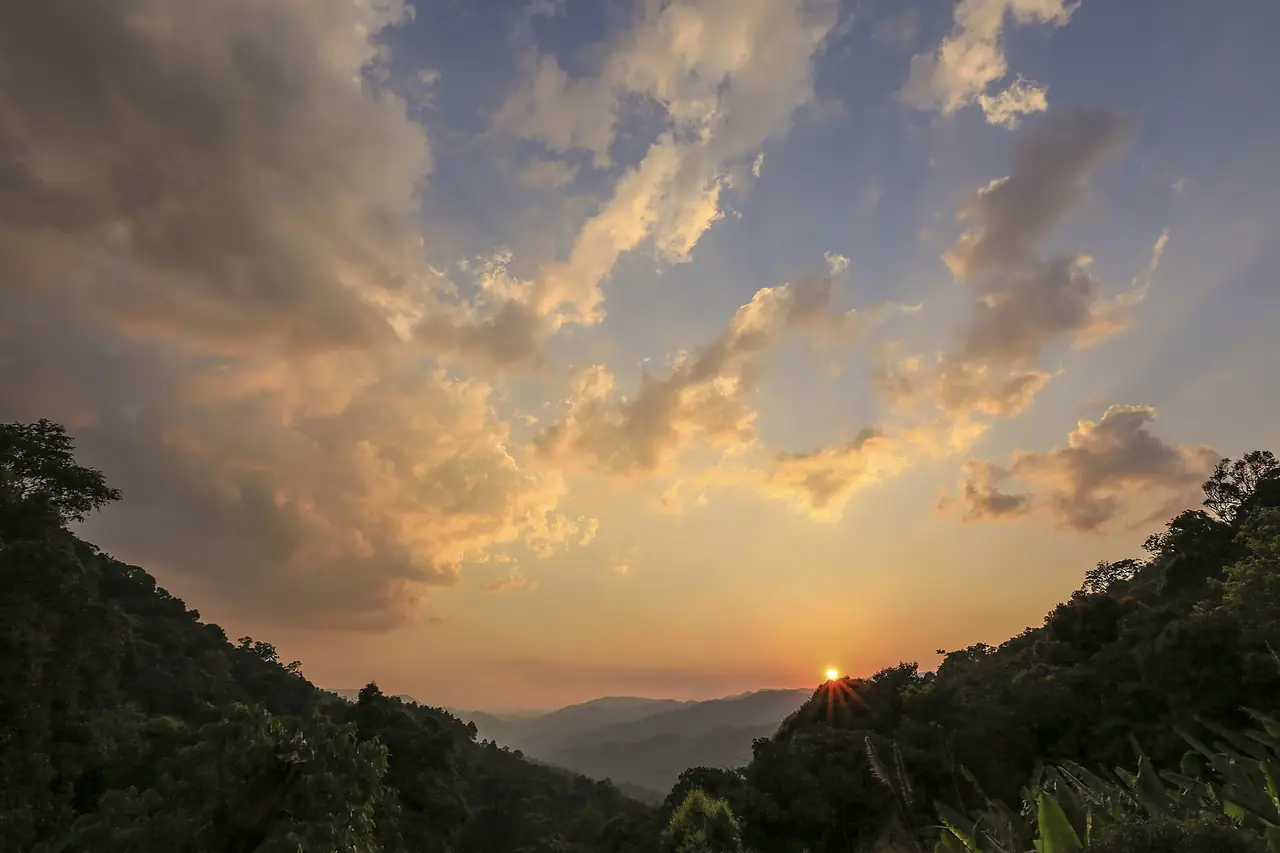
Khlong Wang Chao National Park. TAT puts it about 43 km from town, with dense teak forest, a 20-metre waterfall 1.5 km from the park office, the four-tier Khlong Samo Kluai, and the very large Tao Dam waterfall, 35 km from the office, where a four-wheel-drive vehicle is recommended. TAT says accommodation, camping areas and restaurants are provided.
Wikivoyage also lists the Phra Ruang hot springs about 25 km north of town, reached off Highway 101, with a small admission fee in its 2017 entry.
Food and festivals
Wikivoyage names the night market, which starts at 17:00, and the Ton Pho day market as the best places for cheap meals, plus mu kratha barbecue restaurants and the banana market about 14 km south on Highway 1. It also lists festivals: the Nop Phra Len Phleng festival at Makha Bucha, a kite festival in February and March, a Banana Festival in late September and Loi Krathong in November, centred on Sirichit Park. Dates move each year, so check them before you plan around one.
A one-day plan
If you have one day, Wikivoyage's own advice points to the Aranyik district by bicycle in the morning, Wat Phra Kaeo and the inner district at midday, the National Museum if it is open, and an early dinner at the night market. With a second day, drive to Khlong Lan for the waterfalls or to Nakhon Chum and Muang Trai Trung. Many people combine the park with Sukhothai, the other half of the same UNESCO listing, about 80 km north by Wikivoyage's figure.
Where to stay
The stay guide compares three areas, with every hotel fact checked on the hotel's own website:
- Town centre, east bank: four hotels near Thesa Road, the night market and the river, the practical choice without a car.
- Nakhon Chum: a quiet west-bank hotel with a pool and EV charging, reached by car or bicycle.
- Khlong Lan: a stream-side resort with houses and a tent area, close to the national park waterfalls.
Open where to stay in Kamphaeng Phet for the area table and the eight hotel cards.
Nearby destinations
- Sukhothai: the other half of the UNESCO listing, about 80 km north
- Sukhothai Historical Park guide
- Tak: west on the road to Mae Sot, about 70 km
- Phitsanulok: the transport hub and the nearest railway station, about 100 km
- Uthai Thani: the province to the south
- Chiang Mai and Bangkok: the two ends of the road
- Getting around Thailand
- Thailand overview
FAQ
Is there a train to Kamphaeng Phet?
No. Wikivoyage says the town is not connected to the rail network and the nearest station is Phitsanulok, from which it is a nearly three-hour bus ride. The 12Go page we opened listed buses and taxis only.
How long does it take to get from Bangkok to Kamphaeng Phet?
By car, Wikivoyage says 4 to 4.5 hours, and Scenic Riverside Resort says about 4 hours for 320 km. By bus, Wikivoyage says five to six hours from Mo Chit. Treat the longer figure as the safer plan.
How much does the historical park cost?
Wikivoyage's entry, last updated in 2017, lists 100 baht for the inner district, 100 baht for Aranyik and 150 baht for a combined ticket, with the walls and Nakhon Chum sites free. We could not open an official fee page, so confirm at the gate.
How many days do you need in Kamphaeng Phet?
One day covers the park and the town if you start early, and a second day lets you add Khlong Lan or Mae Wong. The park alone is spread over 3.34 square kilometres by the Fine Arts Department's figure, so a bicycle helps.
Do I need a car?
Not for the town, where Wikivoyage says most distances can be walked and bicycles can be rented, but yes for the national parks. Wikivoyage says there is no regular public transport and taxis are scarce.
What is the best time to visit?
We found no Kamphaeng Phet climate table on the sources used here. TAT says the Mokju summit in Mae Wong is covered with fog in winter, and Wikivoyage lists festivals in February or March, late September and November. Check the Thai Meteorological Department forecast for your dates, and our guide to Thailand's best time by region.
Is Kamphaeng Phet worth visiting if I have seen Sukhothai?
Wikivoyage calls it another, quieter historic town from the same era. The ruins are laterite and brick in a forest setting, and the UNESCO listing treats all three towns as one property, so it suits you if you want fewer crowds.
Where can I stay?
See our where to stay in Kamphaeng Phet guide: the town centre is the easiest without a car, Nakhon Chum is quieter, and Khlong Lan is the base for waterfalls.
Official sources and further reading
- Kamphaeng Phet (Wikivoyage)
- Kamphaeng Phet province (Wikipedia)
- Historic Town of Sukhothai and Associated Historic Towns (UNESCO)
- Kamphaeng Phet Historical Park (Fine Arts Department)
- Kamphaeng Phet Historical Park (Wikipedia)
- Kamphaeng Phet (Tourism Authority of Thailand)
- Khlong Lan National Park (TAT)
- Mae Wong National Park (TAT)
- Khlong Wang Chao National Park (TAT)
- Kamphaeng Phet National Museum (TAT)
- Muang Trai Trung (TAT)
- 12Go: Bangkok to Kamphaeng Phet
- Scenic Riverside Resort: getting there
- Chakungrao Riverview Hotel: location
- Wanalee Resort (Khlong Lan)
- Thai Meteorological Department
Prices, schedules and entry rules change. Figures here are approximate as of 2026; always confirm on the official or operator page before you book. Spotted something out of date? Tell us.