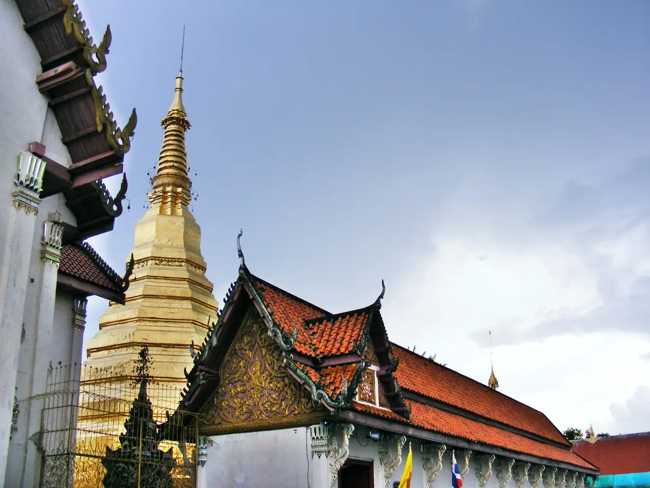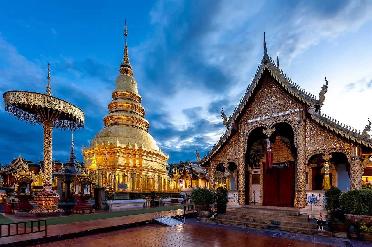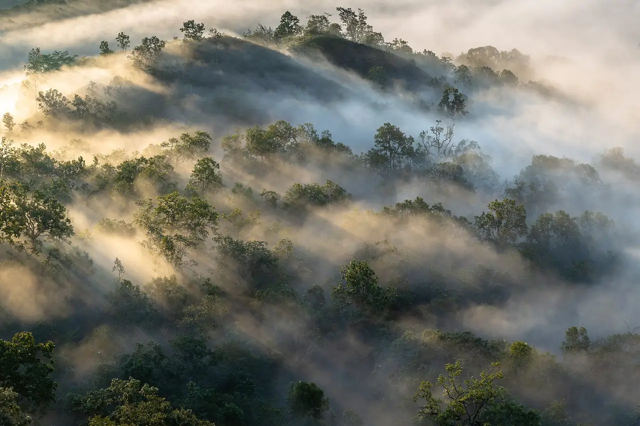
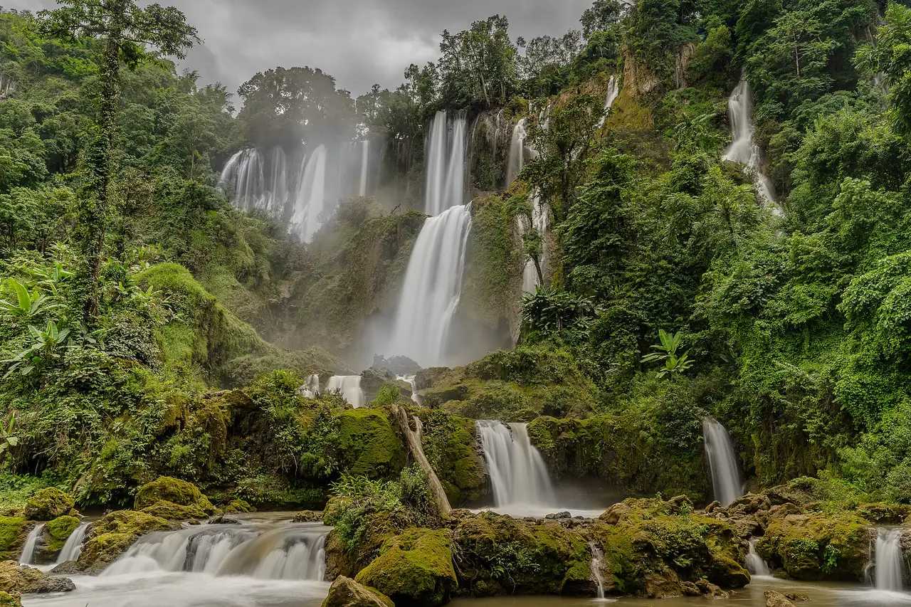
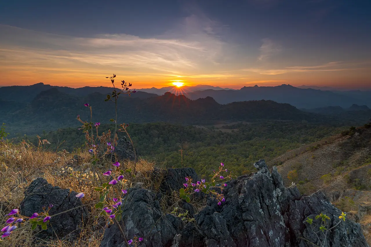
Tak is a large province in western Thailand whose western edge has a long boundary with Kayin State in Myanmar. It has three very different faces: Mae Sot, a border trade town with markets, temples and an airport; Tak city, a quieter provincial capital on the Ping River; and Umphang, a remote district a long mountain drive south of Mae Sot, where Thi Lo Su waterfall sits inside a wildlife sanctuary. Most visitors do one of them, not all three, so the first decision is where you are going.
This guide uses only facts we could check on 16 October 2026 on the sources listed below, and it says where they disagree or where we could not confirm something. For hotel choices, read where to stay in Tak province, or the Thai version, ที่พักตาก.
What Tak province is like
Wikipedia says Tak lies 426 km north of Bangkok and that forest covers 72 percent of the province. Four national parks sit in it, including Taksin Maharat, Namtok Pha Charoen, Lan Sang and Khun Phawo, and the lake behind Bhumibol Dam is described as the largest in Thailand. Its neighbours include Mae Hong Son, Chiang Mai, Sukhothai and Kanchanaburi.
Mae Sot, according to the same encyclopedia, is 87 km from Tak city and 492 km from Bangkok and is the main gateway to Myanmar. Umphang is further south again. Do not try to see all of it in two days: the roads are slow, and the distances are bigger than they look on a map.
Getting to Tak, Mae Sot and Umphang
Most routes end in Mae Sot. The table shows what the sources say; times are approximate and change with traffic.
| From | How | What the sources say |
|---|---|---|
| Bangkok to Mae Sot | Bus | Wikivoyage gives about 7 to 8 hours; Thee Lor Su Riverside's route page says about 8 to 9 hours |
| Bangkok to Mae Sot | Flight | Wikipedia lists Nok Air from Bangkok Don Mueang at Mae Sot Airport; check Nok Air for days and times |
| Tak city to Mae Sot | Minibus | Wikivoyage gives about 90 minutes; Wikipedia gives 87 km between the two |
| Mae Sot to Umphang | Road | Wikipedia gives 164 km on Highway 1090, three to four hours, with 1,219 curves |
| Mae Sot to Umphang | Public transport | Thee Lor Su Riverside says the only public bus is a songthaew from Mae Sot bus station, 06:00 to 12:00 |
Wikipedia adds that the Mae Sot bus station is next to the airport, which makes the airport a practical arrival point if you plan to continue by road. Highway 1090 is the only road linking Umphang to the rest of Thailand, so any problem on it can cut the district off. The curves are well known: if you get car sick, bring what you need.
Where the sources disagree
| Item | What we found |
|---|---|
| Bangkok to Mae Sot by bus | 7 to 8 hours (Wikivoyage) against 8 to 9 hours (Thee Lor Su Riverside) |
| Tak city to Mae Sot | 87 km (Wikipedia); Wikivoyage describes a drive of about 90 minutes by minibus |
| Thi Lo Su opening months | Roughly November to mid-May (Wikivoyage, community guide), but Thai PBS reported a reopening on 1 September 2024; see below |
Treat the shortest times as best case, and add margin if you have a flight or a connection.
Booking the trip
The 12Go page for Bangkok to Mae Sot showed 19 listed companies when we opened it in a browser on 16 October 2026, including Nok Air, Cherdchai Tour North, Sasanan Tour, Easyride Services, Gosafe Transport, MCC VAN, Tara Tour and Travel, Thailand Limo by Datum, Torch and TravelBusAsia, and it listed 65 departures a day. The page text describes Nok Air flights from Don Mueang. We link it as a convenient place to compare, and some links on this site may earn us a commission; this does not change the times you see. We do not repeat prices here because they change daily; check the operator, the pick-up point and the arrival time before you buy.
Mae Sot: markets, temples and the border area
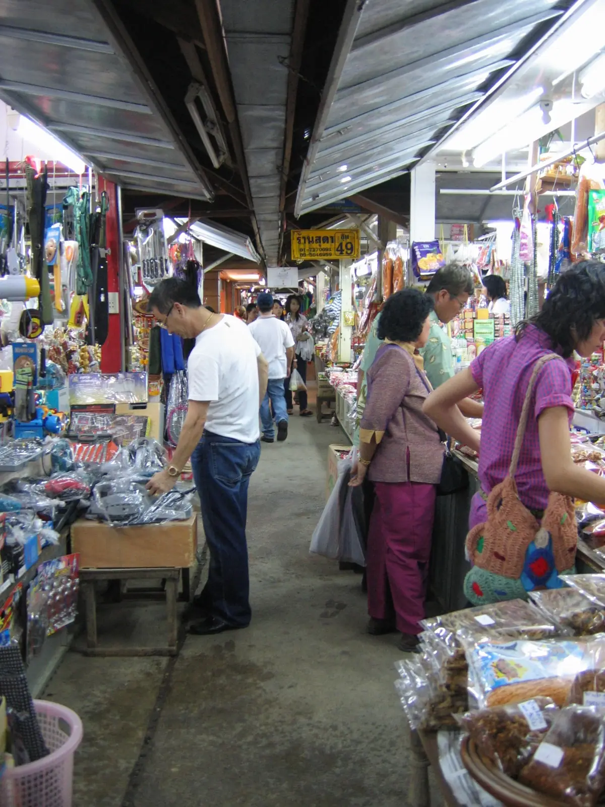
Wikivoyage, a community guide, describes a Burmese market in the centre of town and the Rim Moei border market near the border post. Hotel sites give distances: B2 Mae Sot Premier lists Rim Moei Market at 5.3 km, Wat Thai Wattanaram at 4.8 km and Robinson Lifestyle Mae Sot at 1.2 km, while Fortune D Hotel lists the Moei riverside market at 8.5 km. Plan on a ride rather than a walk.
Wikivoyage lists Wat Thai Wattanaram as a beautiful Buddhist temple that contains a giant reclining Buddha on the way to the border. B2 Mae Sot Premier also lists Pha Charoen Waterfall at 38 km; Namtok Pha Charoen is one of the national parks Wikipedia places in the province. We could not verify opening hours or fees for any of these, so ask your hotel.
The Myanmar border: what we could not verify
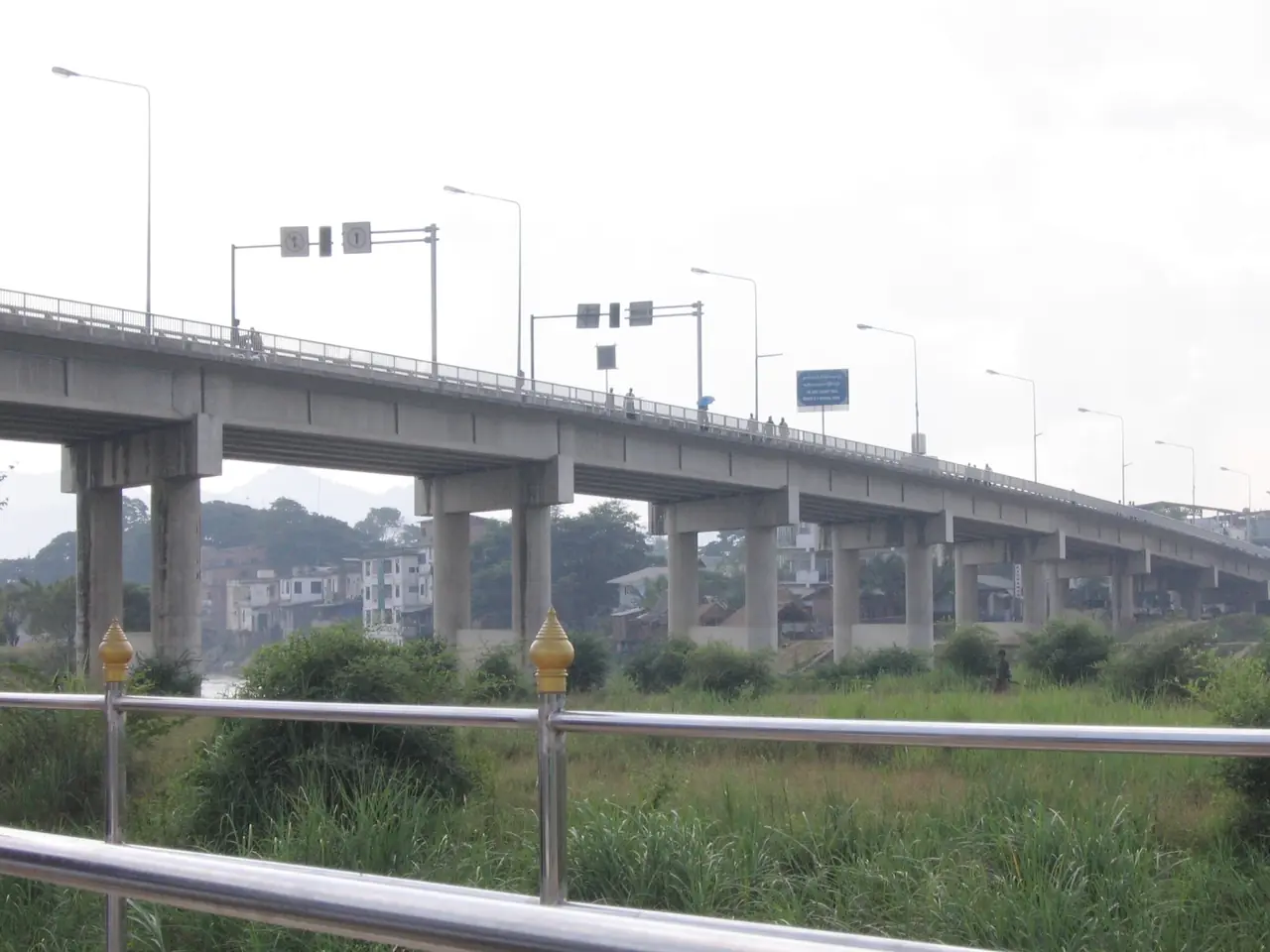
Wikipedia says the first Thai-Myanmar Friendship Bridge opened in 1997 across the Moei River, connecting Mae Sot with Myawaddy, and that a second bridge, to handle goods traffic, opened in 2019 north-west of Mae Sot. Beyond that we make no claims. We could not verify any current official crossing rules, opening hours or closures, and they can change at short notice.
Do not plan a trip across the border from this guide. Check with the Mae Sot immigration checkpoint and your own government's travel advice first, and treat anything on the other bank as outside what we can describe.
Umphang and Thi Lo Su waterfall
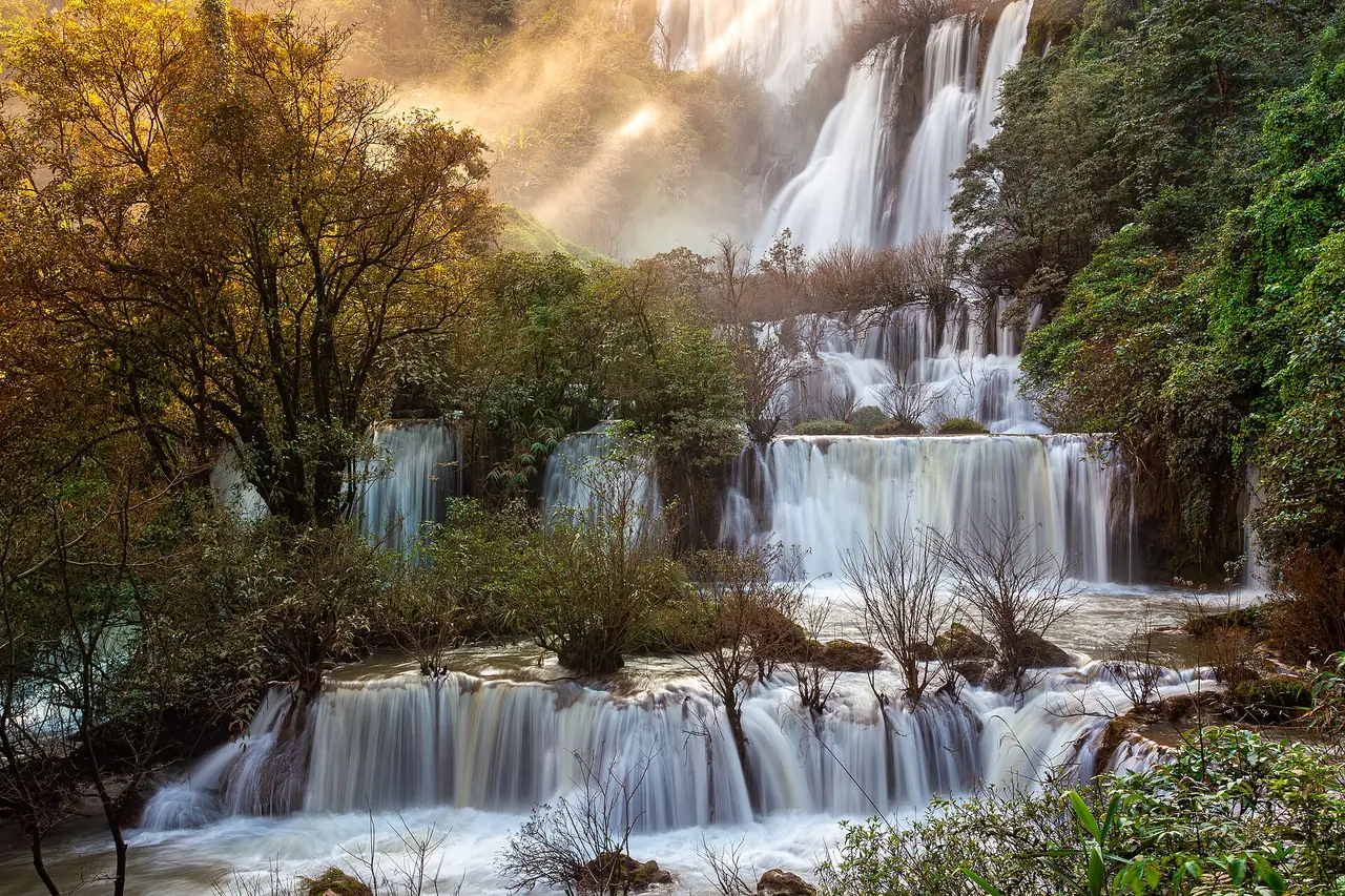
Thi Lo Su sits in the Umphang Wildlife Sanctuary. Wikipedia says it is claimed to be the largest and highest waterfall in Thailand, and notes that the waterfall has apparently never been surveyed, so every figure you read is approximate. We could not open an official park page, because the national tourism site blocked our automated fetch and we found no readable sanctuary page, so we cannot confirm fees, hours or booking rules. Phone your Umphang hotel or the sanctuary before you plan around a date.
Here is what the sources do say:
- Rainy-season closure: Thai PBS reported on 2 September 2024 that Thi Lo Su had reopened on 1 September, after being closed for about two months in the rainy season. That is a past-year report, not a rule for this year.
- Season: Wikivoyage, a community guide, lists the waterfall as open roughly November to mid-May and says only 4WD vehicles can enter on the road from Umphang. The two sources do not agree on the months, so confirm the current dates with the sanctuary.
- Dry-season access: Thee Lor Su Riverside says that in the dry season you can drive from Umphang about 20 km to the sanctuary and then walk about 1.8 km to the fall.
- Rafting: the same resort sells a two-day, one-night rafting package and lists a route past Thi Lo Cho waterfall and a hot stream on the way to Thi Lo Su.
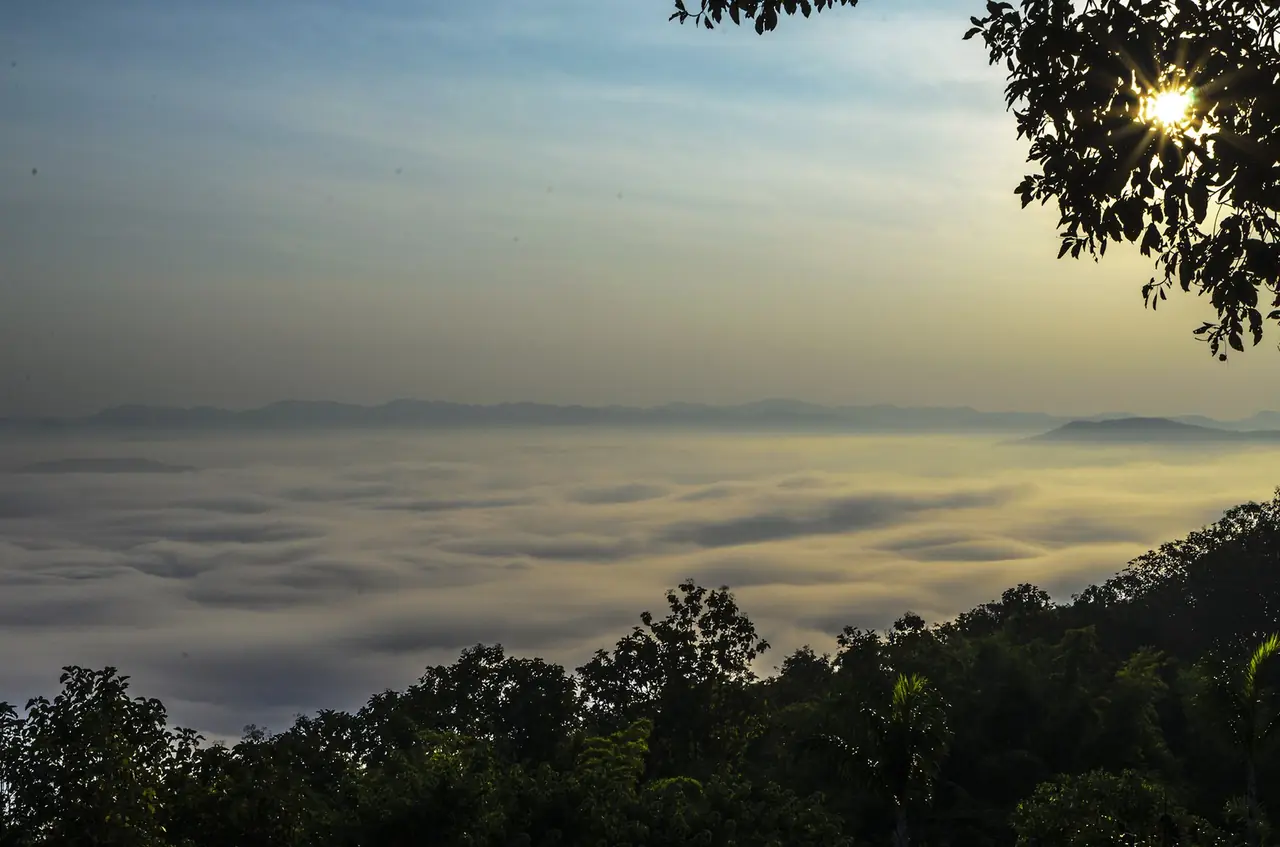
Thee Lor Su Riverside also lists a trip to see the mist at Doi Hua Mot among its activities. If you only have one night in Umphang, ask what the resort can fit around the season rather than assuming every trip runs all year.
Tak city and the Ping River
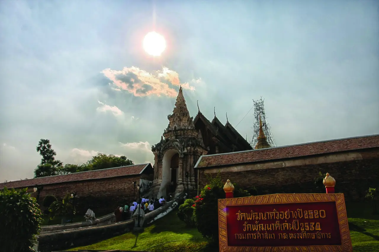
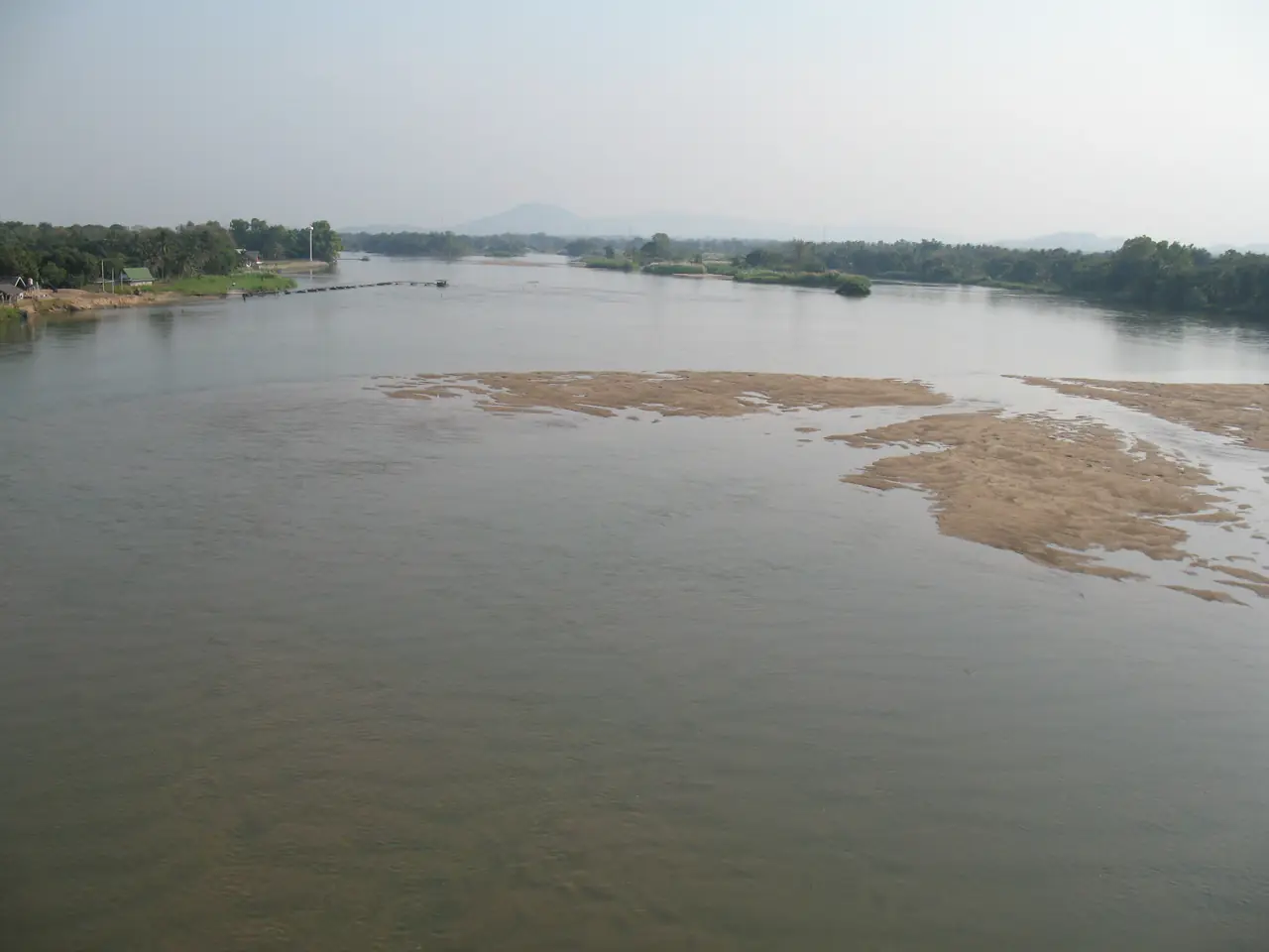
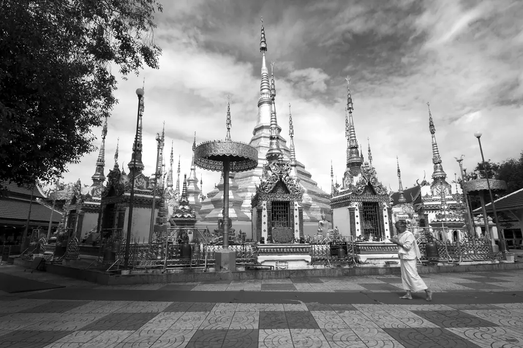
Tak city is the provincial capital on the road between Bangkok and Mae Sot. The Viang Tak Riverside Hotel says the riverside promenade, a golden suspension bridge and the old town's night market are minutes away and mentions the Loi Krathong Sai festival every November on the Ping. HOP INN Tak names Huai Pang Sa, Lan Krathong Sai and the Rattanakosin Bicentennial Bridge as nearby. Wikivoyage says Wat Phra Tat in Ban Tak is in the Burmese style, reflecting the area's Mon Burmese roots.
Waterfalls and parks on the way
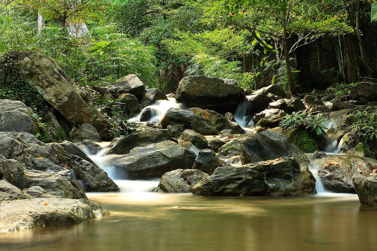
Wikipedia lists Lan Sang National Park among the parks in the province, and Wikivoyage also lists Lan Sang, Taksin Maharat and Namtok Pha Charoen among the national parks around Tak. We have no verified fees or opening times for any national park in Tak, so check with the park before you go.
The seasons
Wikipedia says the monsoon season in Mae Sot runs from May to October with heavy rain. Wikivoyage adds that some tour routes around Mae Sot cannot be reached at the height of the rainy season, and the Thai PBS report above shows Thi Lo Su closing for part of it. Check the forecast with the Thai Meteorological Department and read our guide to Thailand's best time by region before you fix dates.
Where to stay
The stay guide compares three areas, with every hotel fact checked on the hotel's own website:
- Mae Sot: seven hotels near the airport, markets and the border road.
- Tak city: four hotels on the highway and along the Ping River.
- Umphang: one hotel near Thi Lo Su, the only one with a website we could verify.
Open where to stay in Tak province for the area table and the 12 hotel cards.
Nearby destinations
- Sukhothai: the old capital next door
- Mae Hong Son: the road north-west along the border
- Chiang Mai: the main northern hub
- Kanchanaburi: the province south of Umphang
- Getting around Thailand
- Thailand overview
- Phitsanulok: Wat Yai, Nan River and the gateway to Sukhothai
FAQ
How do I get to Mae Sot from Bangkok?
By bus, by air or by minibus. Wikivoyage gives about 7 to 8 hours by bus, and Wikipedia lists Nok Air from Don Mueang at Mae Sot Airport. The 12Go page for Bangkok to Mae Sot listed 19 companies on 16 October 2026; check the timetable yourself.
How far is Umphang from Mae Sot?
Wikipedia gives 164 km on Highway 1090 with 1,219 curves, a drive of three to four hours. It is the only road into Umphang, so plan a night there, not a day trip.
When can I visit Thi Lo Su waterfall?
We could not confirm the current dates. Thai PBS reported it reopening on 1 September 2024 after about two months closed for the rainy season, while a community guide lists November to mid-May. Phone your Umphang hotel or the sanctuary before you book.
Can I cross into Myanmar from Mae Sot?
We cannot say. Wikipedia says the first Friendship Bridge opened in 1997 and a second for goods opened in 2019, but we could not verify any current crossing rules, hours or closures. Check with the immigration checkpoint and your own government's travel advice.
Is Tak city worth a night?
It is a practical stop on the road between Bangkok and Mae Sot, about 87 km from Mae Sot according to Wikipedia. Hotel sites mention a riverside promenade, a suspension bridge and a night market within minutes.
When is the best time to visit Tak?
Wikipedia says Mae Sot's monsoon season runs from May to October with heavy rain, so the drier months are easier for travel around Mae Sot. For Thi Lo Su, confirm the current opening dates with the sanctuary.
Is there an airport in Tak?
Mae Sot Airport is the airport we could verify, with Nok Air flights from Don Mueang listed on Wikipedia. Tak city does not have a scheduled airport that we found.
Official sources and further reading
- Tak province (Wikipedia)
- Mae Sot (Wikipedia)
- Mae Sot Airport (Wikipedia)
- Umphang district (Wikipedia)
- Thi Lo Su Waterfall (Wikipedia)
- Mae Sot (Wikivoyage, community guide)
- Umphang (Wikivoyage, community guide)
- Tak (Wikivoyage, community guide)
- Thai PBS: Thi Lo Su reopens (Thai)
- 12Go: Bangkok to Mae Sot
- Thee Lor Su Riverside: route and activities (Thai)
- B2 Mae Sot Premier Hotel
- The Viang Tak Riverside Hotel
- HOP INN Tak
Prices, schedules and entry rules change. Figures here are approximate as of 2026; always confirm on the official or operator page before you book. Spotted something out of date? Tell us.