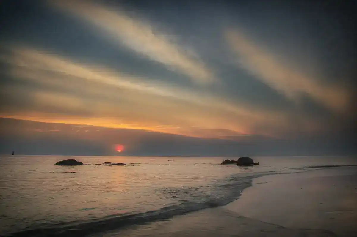
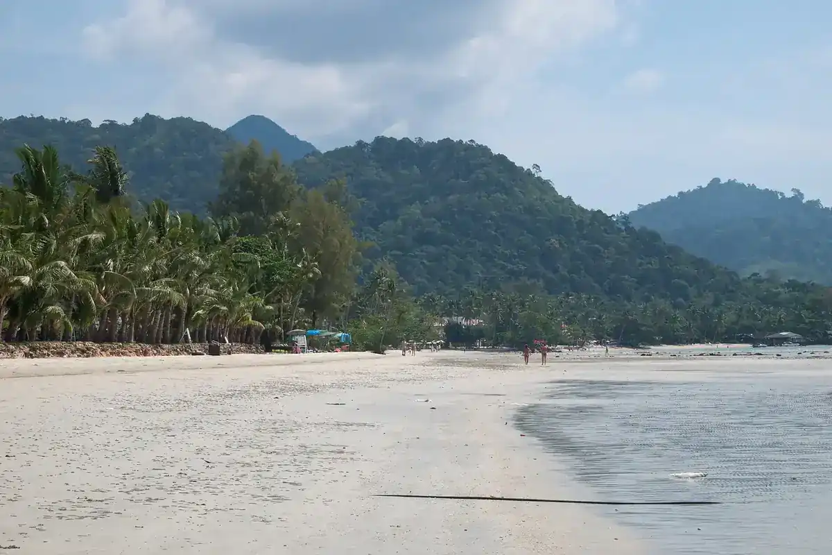
Uthai Thani is a small province that most people drive straight past on the way between Bangkok and the north. Stop, and you find a river town where raft houses still float on the water, old temples with murals from the reign of Rama III, a small hill in the middle of town with a staircase to a view over the whole place, and, to the west, the Huai Kha Khaeng forest, a natural World Heritage Site. Wikipedia places the province in lower northern Thailand, about 200 km from Bangkok and somewhat off the main Bangkok to Chiang Mai route, which is part of why it stays quiet.
This guide draws on pages from the Tourism Authority of Thailand (TAT), Wikipedia, Wikivoyage and the official websites of the few hotels we could read, all opened on 16 October 2026. Where sources disagree we show both numbers, and where we could not verify something, such as some opening hours and fees, we say so and ask you to check before you go.
What kind of province is it
English Wikipedia says the province runs from the upper plains of the Chao Phraya valley to forested mountains in the west, with the Sakae Krang River, a tributary of the Chao Phraya, as its main watercourse, and forest covering about half the land. It gives the area as 6,647 square kilometres; Thai Wikipedia gives about 6,730. The difference comes from different years and agencies, so treat it as roughly 6,600 to 6,700.
Thai Wikipedia says the Sakae Krang is about 225 km long and joins the Chao Phraya at Ban Tha Sung, and that in front of the Wat Uposatharam market a community of raft dwellers has lived for generations, growing pandanus and raising giant gourami in cages. The giant gourami is the provincial aquatic animal, and the provincial slogan mentions the fish, the Tak Bat Thewo festival, Ban Namtok pomelos, the World Heritage forest and the famous cattle market.
On history, English Wikipedia says Uthai Thani is the home town of the father of King Rama I, who changed the name from Uthai to Uthai Thani. Thai Wikipedia adds that Sakae Krang village grew as a riverside rice market where Chinese merchants built granaries, while the older town lay inland, and people gradually moved to the river. That is the origin of the river town you see today.
Getting to Uthai Thani
About 200 km from Bangkok according to Wikipedia. Most visitors drive. We found no commercial airport for the province in the sources we checked.
| From | By | What the sources say |
|---|---|---|
| Bangkok, by car | Private car | About 200 km per Wikipedia. We found no official driving time, so check a map for your travel day. |
| Bangkok, taxi or transfer | Taxi sold through 12Go | The 12Go page listed 9 trips, all taxis, priced THB 2,990 to 5,625 when we opened it on 16 October 2026. |
| Bangkok, bus | Coach from Mo Chit | Wikivoyage says to take a bus and get off at Uthai Thani, about 3 hours. This is a short entry and we could not confirm the operator or schedule. |
| Neighbouring provinces | Car | The province borders Nakhon Sawan, Chai Nat, Suphan Buri, Kanchanaburi and Tak per Wikipedia; Wikivoyage lists Nakhon Sawan and Chai Nat as onward trips. |
The 12Go page for Bangkok to Uthai Thani showed 9 trips when we opened it in a real browser on 16 October 2026, for Sunday 18 October and 2 travellers. All were taxis, from THB 2,990 to THB 5,625, with Kim Transfers Thailand and Than Car Service as the operators we saw. The page listed no bus or train. These figures are what the page showed on the day, not guarantees. We have not verified bus or rail timetables, so if you want public transport, check the operators' own websites and the State Railway of Thailand directly. Some links on this site may earn us a commission; this does not change the times or prices you see.
Without your own car, the out-of-town sights such as Hup Pa Tat, Wat Tham Khao Wong and Huai Kha Khaeng are hard to reach. TAT puts Hup Pa Tat about 50 km from Uthai Thani town. A rented or chartered car is the practical answer, but we did not check any rental prices, so we give none.
In town
Sakae Krang floating village
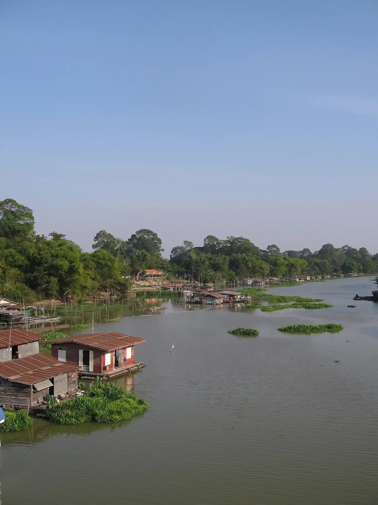
TAT calls it the last raft-house community in Thailand. It sits inside Uthai Thani town municipality, with over a hundred registered raft houses on the river. Residents mainly raise freshwater fish in floating cages, including striped catfish and giant gourami, process fish into dried or salted products for sale, and farm fragrant pandanus on the water. Visitors can take boat trips past the raft houses, walk the old streets, or climb Khao Sakae Krang for a view in every direction.
Wikivoyage says that in 1906, when King Rama V visited the northern provinces and stayed at Sakae Krang, the monk Phra Khru Uthai Tham Nithet (Chan) built two twin rafts to receive him. One became the floating chapel that raft residents still use for ceremonies. We have not verified boat trip prices or times from an official source, so ask at the pier or your hotel.
Wat Sangkat Rattana Khiri and Khao Sakae Krang
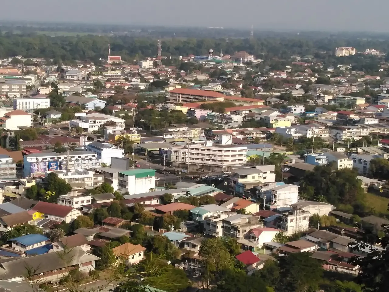
TAT places the temple on Tha Chang Road at the foot of Khao Sakae Krang. Its main hall enshrines Phra Phuttha Mongkhon Saksit, one of the province's most sacred Buddha images, a seated Subduing Mara image with a lap width of 1.5 metres by TAT's account, made by Sukhothai craftsmen. Beside the courtyard a staircase climbs the hill. TAT counts 449 steps to the summit, where a replica of the Buddha's footprint, moved from Wat Chantaram in 1905, and a large bell from 1900 stand. Thai Wikipedia says the staircase the monks walk down in the Tak Bat Thewo ceremony has 339 steps. The two sources differ, probably because they count different stretches, so do not rely on either number.
From the top you see the whole town. TAT adds that an annual ceremony honours the monument to Rama I's father on 6 April, when the provincial flower, the yellow cotton tree, is in bloom on the hill.
Wat Uposatharam
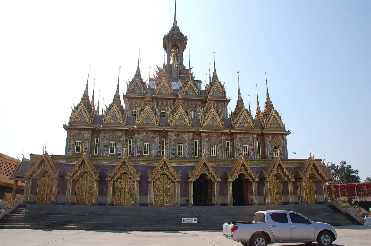
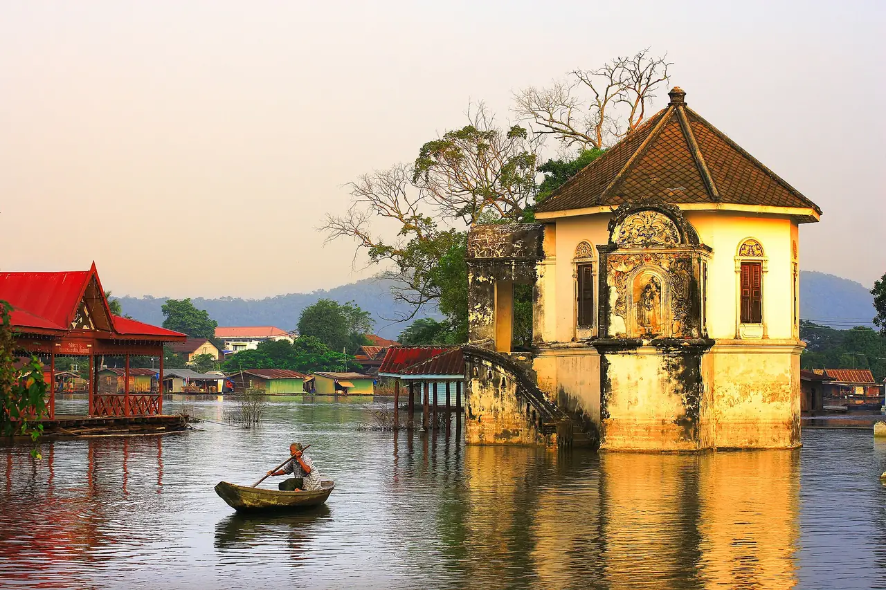
On the riverbank, TAT dates the temple to the early Rattanakosin era. The brick ordination hall enshrines a Sukhothai-style Subduing Mara Buddha, and its walls carry murals painted in the reign of Rama III telling the Buddha's life from birth to enlightenment. The main hall has murals on its front wall showing scenes from the Buddha's life and the daily life of early Rattanakosin people. The photo spot is the octagonal mondop on the riverbank, which TAT describes as a blend of Western and Thai styles, with stucco patterns like climbing plants around the windows, built around 1899 and used as a mortuary and relic shrine for the abbot when it was left unfinished.
Thai Wikipedia records that in the 2011 floods, water from the Chao Phraya pushed up the Sakae Krang and covered the octagonal mondop to about 50 cm, a reminder that this town is tied to its river and the water level changes with the season.
Ko Thepho
TAT says Ko Thepho is Thailand's largest freshwater island. It began as a peninsula between the Chao Phraya and Sakae Krang rivers; a canal dug on the northern side let the Chao Phraya feed the Sakae Krang in the dry season and made it an island. A suspension bridge links the municipal fresh market with Wat Uposatharam. Visitors cycle the paths around the island through bamboo, cornfields and rice paddies. Wikivoyage adds that pomelos are widely grown there.
Trok Rong Ya walking street
In Uthai Mai subdistrict, TAT says this was once a Chinese immigrant quarter and a regulated opium-smoking zone, hence the name Rong Ya. It is now a pedestrian street over 150 metres long lined with well-preserved wooden houses, with snacks such as khanom tang taek, steamed rice dumplings, savoury crepes, fish balls and pork satay. TAT says it opens Saturday 16:00 to 20:00. If your trip does not include a Saturday evening, you will miss it, so plan around it.
Temples outside the centre
Wat Chantaram (Wat Tha Sung)
TAT places it in Nam Suem subdistrict on the Uthai Thani to Manorom road. It is an old Ayutthaya-period temple, developed later by the famed monk Luang Pho Ruesi Lingdam. Highlights are the 100-metre Wihan Kaeo, whose glass coffin holds the preserved body of the late abbot, with carved pillars set with white glass mosaic and over 119 chandeliers, the new ordination hall opened by King Rama IX, and Phra Wihan Somdej Ong Pathom with a gold-alloy Buddha of 87 kilograms.
TAT gives visiting hours for the Wihan Kaeo as 09:00 to 11:30 and 14:00 to 16:00, with a midday break from 11:30 to 14:00 for meditation. Other halls have different hours on weekdays and weekends. Call the temple on the TAT number (+66 5650 2655) before you go. It is a place of worship, so dress modestly.
Wat Tham Khao Wong (Ban Rai)
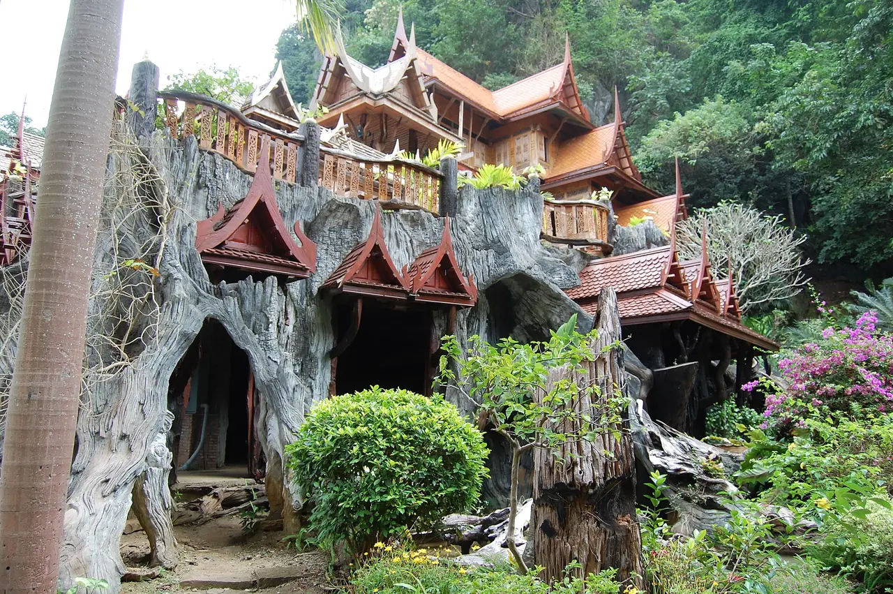
TAT describes a four-storey traditional Thai wooden building in Ban Rai district, built from teak and makha wood including old timber from houses in Ayutthaya and Ang Thong. The first floor is a rest area and souvenir shop, the second the main hall, the third the monks' quarters and the fourth the ordination hall. Behind it is a limestone hill with seven or eight caves, and the grounds have a reservoir with a natural-wood bridge, from which you see the teak building.
Other places Wikivoyage lists
Wikivoyage also lists Wat Thap Than with its carved doors and the buffalo market at Thap Than, Wat Thammakhosok, and the ancient moated town of Bung Khok Chang. We have not checked these against official sources, so treat them as leads to ask locals about rather than confirmed opening times.
Nature in the west
Hup Pa Tat
TAT says Hup Pa Tat is in Pa O subdistrict, Lan Sak district, about 50 km from Uthai Thani town. The abbot of Wat Tham Thong, Luang Pho Thongyot, climbed into the valley in 1979 and found many tat trees, a relative of the palm, then opened the cave entrance in 1984. The Forestry Department later declared it a conservation area for its terrain and rare plants such as the fish-tail palm. The path in is quite dark, but after a short walk a large opening lets light fall on the forest below. TAT says light reaches the ground only around noon because steep limestone mountains surround it.
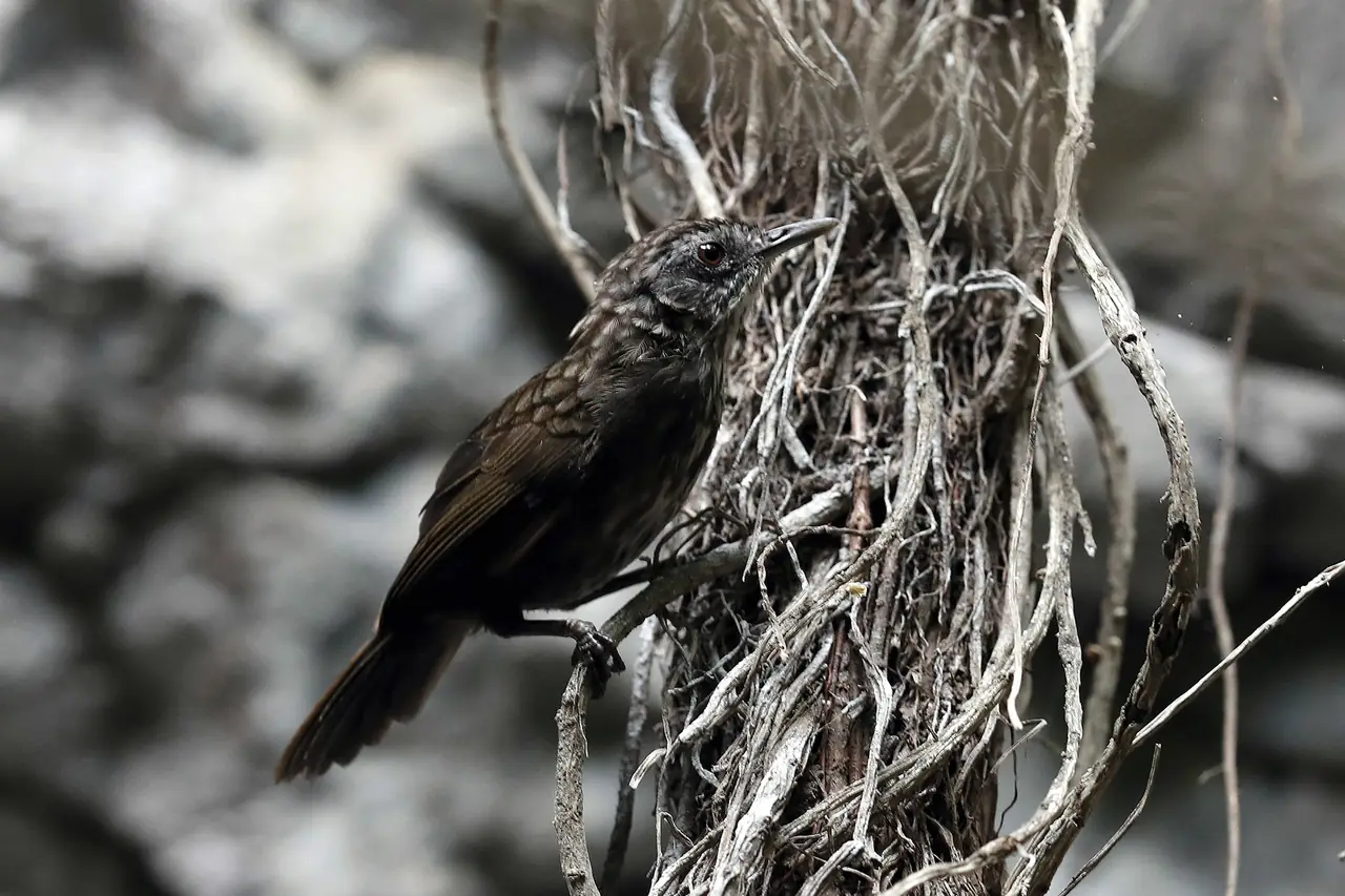
Wikivoyage notes that the way up passes through a margosa forest and that the valley is more humid than its surroundings. We did not find an entrance fee or opening hours on an official page, so check with staff before going. The bird photo in this guide is described on Wikimedia Commons as a limestone wren-babbler photographed at Hup Pa Tat.
Huai Kha Khaeng Wildlife Sanctuary
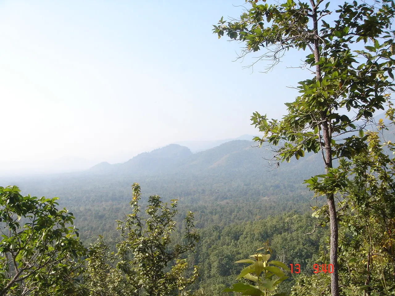
TAT says the sanctuary spans three provinces, Uthai Thani, Kanchanaburi and Tak, was declared in 1972, and was inscribed as a World Heritage Site in December 1991, Thailand's first natural World Heritage Site. TAT gives the area as 6,427.34 square kilometres, while English Wikipedia gives 2,780 square kilometres. The gap is large and may reflect different boundaries, for example the wildlife sanctuary alone versus the whole World Heritage area including Thung Yai Naresuan, so we show both.
TAT says it holds five of the seven forest types of the tropical forests, and names wild buffalo, serow, leopard, dhole, red junglefowl and green peafowl among its animals. For visitors, TAT lists three points: the sanctuary headquarters in Lan Sak district, Sai Boe ranger station in Huai Kot district, and Huai Mae Di ranger station in Ban Rai district. The headquarters has a World Heritage exhibition hall and a memorial to the conservationist Sueb Nakhasathien.
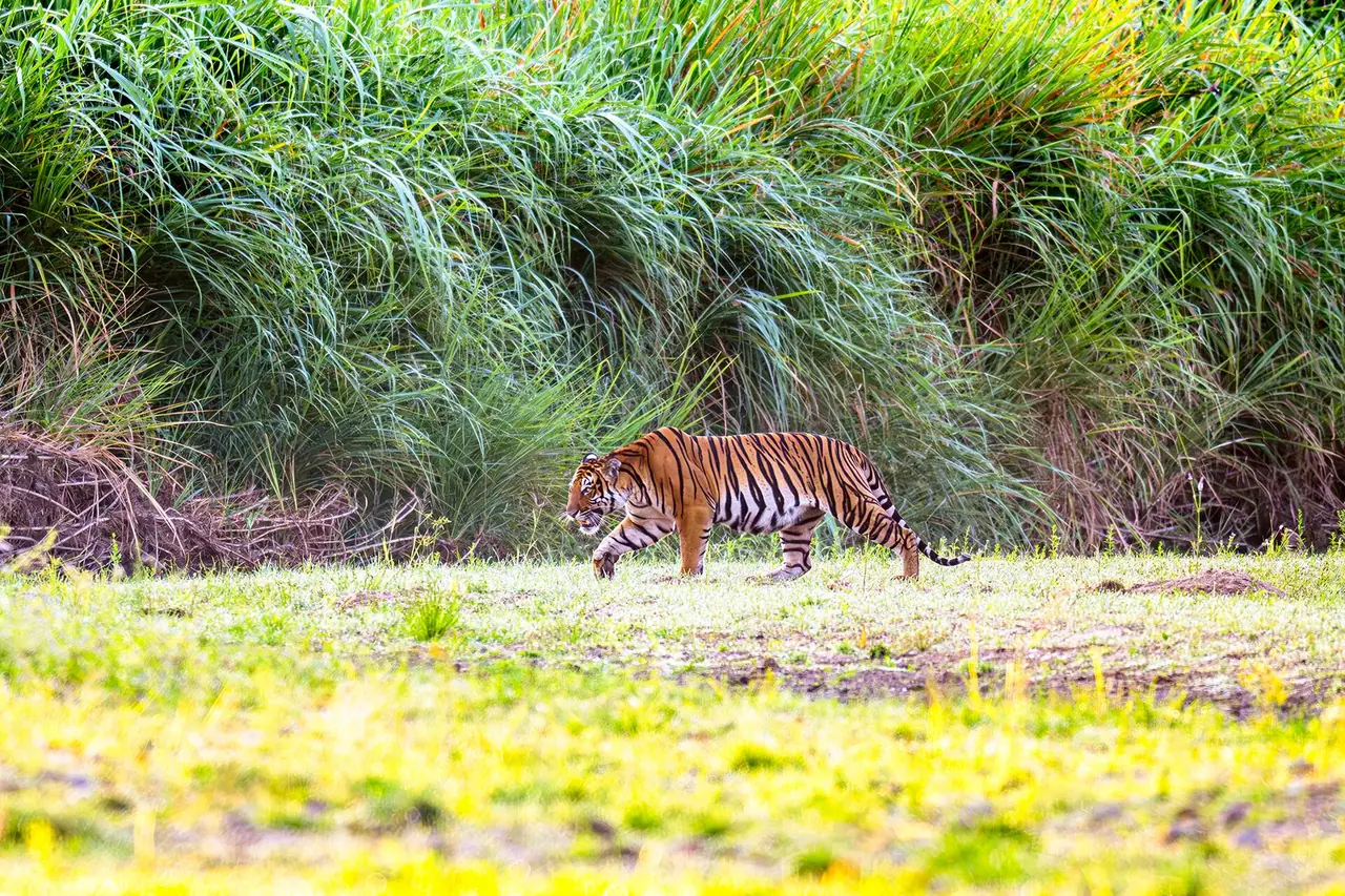
Do not set your hopes on tigers. The tiger photo here, from Wikimedia Commons, was taken in a grassland inside the sanctuary and is a photographer's result, not a promise to visitors. Access to deeper areas usually requires permission and follows rules from the national parks department, which we have not checked, so ask the headquarters before you plan.
Other natural sites on Wikivoyage
Wikivoyage also lists Ban Samo Thong hot spring, Namtok Cyber and Namtok Pha Rom Yen, a limestone waterfall visible from the road, plus prehistoric rock paintings at Khao Pla Ra, about 9 metres long, showing people and animals in red and black. Thai Wikipedia also mentions the Khao Pla Ra paintings and says there is evidence of human settlement in the area about 3,000 years ago. We have not checked access or hours for any of these.
Festivals
The Tak Bat Thewo festival at Wat Sangkat Rattana Khiri is the province's biggest. Thai Wikipedia says it falls on the first waning-moon day of the eleventh lunar month, after the end of Buddhist Lent, when about 200 to 300 monks from Mueang district walk down from the top of Khao Sakae Krang to receive alms in the temple grounds, re-enacting the Buddha's return from heaven. Wikivoyage says around October. The lunar date moves each year, so check the real date with the province or TAT, and book a room early.
Thai Wikipedia also lists the Phuttha Mongkhon Saksit worship fair on the 3rd to 8th waxing days of the fourth lunar month, with the 5th the busiest day, Songkran folk games at Ban Tha Pho, and the Chinese procession in town in which four shrines take turns hosting.
Food and souvenirs
Wikivoyage names khao kung krop, a deep-fried snack of rice mixed with shrimp, and says restaurant menus lean on freshwater fish from the river. It also lists local woven cloth and bamboo and water hyacinth crafts, and describes Ban Khok Mo as a Thai-Lao weaving village making Sin Tin Chok and Mat Mi cloth. TAT describes the street food at Trok Rong Ya above. We did not check restaurant names or prices, so we recommend none.
When to go
We found no official source that sums up Uthai Thani's tourist seasons. What we can say: Tak Bat Thewo falls around October, and Thai Wikipedia records that the major 2011 flood began in September and flooded riverside communities and heritage sites, so river levels in the late rainy season can change a lot. For caves and forest walks, check the weather and road conditions. See the Thai Meteorological Department for your dates. Because TAT says light reaches the floor of Hup Pa Tat only around noon, aim for late morning to midday there.
A sample plan
This is not copied from anyone's itinerary. It orders the places the sources describe by where they are, so you do not double back.
- Day 1, town: Wat Sangkat Rattana Khiri and the Khao Sakae Krang climb in the morning, Wat Uposatharam and Ko Thepho by late morning, a boat trip past the raft houses in the afternoon. If it is a Saturday, keep 16:00 to 20:00 for Trok Rong Ya.
- Day 2, temple and forest: Wat Tha Sung within its opening windows (check the 11:30 to 14:00 break), then drive on to Lan Sak for Hup Pa Tat and the Huai Kha Khaeng headquarters.
- If you have a third day: Wat Tham Khao Wong in Ban Rai, or back to Ban Khok Mo and the Thap Than buffalo market.
We did not check driving times between these stops, so use a map for your actual day, and remember TAT puts Hup Pa Tat about 50 km from town.
Where to stay
We searched for official hotel websites in Uthai Thani and found that most places have only a social media page or a listing on a booking site, which we cannot use to verify facts. So we have not published a full where-to-stay comparison. Three places do have official pages we could read, and what follows was checked against each page on 16 October 2026. We give no prices because we did not verify any.
- Uthai Heritage Hotel: the site says it is a former private school in Uthai Thani that you can now sleep in, designed as a homage to a 70-year-old schoolhouse, with 17 rooms in 8 room types and a cafe, regional cuisine and bar.
- 101 Space Station: a glamping lifestyle resort at Moo 3, Khao Bang Kraek subdistrict, Nong Chang district, offering a one-bedroom king private home with an outdoor hot tub Jacuzzi.
- Aunya Villa Resort Uthai Thani: the only official page we could read is its booking page, which lists Villa, Garden Double, Garden Twin and Garden Family 2 Bedroom room types and bank transfer payment. We found no official page describing its location or facilities.
On areas, the advice we can support is this. For the town and raft houses, stay in Uthai Thani town near the Sakae Krang, because Wat Uposatharam, the market and the boat trips are close together by TAT's descriptions. For Hup Pa Tat and Huai Kha Khaeng, a base in the west, in Nong Chang, Lan Sak or Ban Rai districts, shortens the morning drive. We could not find an official website for a raft-house stay, so if you want to sleep on the water, ask the operator directly before booking. We will add a full stay page once at least eight hotels have official sites we can verify.
Nearby destinations
- Kamphaeng Phet: World Heritage historical park to the north of Uthai Thani via Nakhon Sawan
- Kanchanaburi: borders Uthai Thani to the south, and the Huai Kha Khaeng forest continues across the line
- Ayutthaya: the old capital, an easy day from Bangkok; see the Ayutthaya day trip
- Tak: borders Uthai Thani to the west, beyond the Huai Kha Khaeng forest
- Sukhothai: another World Heritage city to the north
- Bangkok: the start of the trip, about 200 km away
- Thailand travel overview
FAQ
Which region is Uthai Thani in?
English Wikipedia places it in lower northern Thailand. Thai Wikipedia says the Royal Society and the Thai Meteorological Department class it as upper central Thailand, while some agencies class it as lower northern. Each is right for the agency using it.
How far is Uthai Thani from Bangkok?
About 200 km according to Wikipedia. We found no official driving time, so check a map for your travel day.
Can I get to Uthai Thani by bus or train?
The 12Go page we opened on 16 October 2026 listed only taxis, 9 trips from THB 2,990 to THB 5,625, and no bus or train. Wikivoyage says a bus from Mo Chit reaches Uthai Thani in about 3 hours, but we could not confirm the operator, so check the operator's website before you plan.
How many days do I need?
One day covers the town, temples and raft houses. Add a second day if you want Hup Pa Tat and Huai Kha Khaeng, since TAT puts Hup Pa Tat about 50 km from town.
When is Trok Rong Ya walking street open?
TAT says Saturday 16:00 to 20:00. Check with the municipality or TAT before you go, as hours can change.
When can I visit Wat Tha Sung?
TAT gives 09:00 to 11:30 and 14:00 to 16:00 for the 100-metre Wihan Kaeo, with a break from 11:30 to 14:00. Call the temple on the number on the TAT page before going, as hours can change.
Do people still live on the raft houses?
TAT says the community has over a hundred registered raft houses, and residents make their living from cage fish farming and pandanus growing. TAT calls it the last raft-house community in Thailand.
Do I need a permit for Huai Kha Khaeng?
We did not check the national parks department's current rules. TAT only lists three points open for nature visits: the sanctuary headquarters, Sai Boe ranger station and Huai Mae Di ranger station. Ask the headquarters before planning a trip into the sanctuary.
Are there hotels in Uthai Thani?
Yes, but we could fully verify only three from their official sites: Uthai Heritage Hotel, 101 Space Station and Aunya Villa Resort. See the where-to-stay section above. We will add a comparison page when at least eight hotels have official sites we can verify.
Official sources and further reading
- Uthai Thani (TAT)
- Sakae Krang Floating Village Community (TAT)
- Wat Chantaram, also called Wat Tha Sung (TAT)
- Wat Sangkat Rattana Khiri (TAT)
- Wat Uposatharam (TAT)
- Ko Thepho (TAT)
- Trok Rong Ya Walking Street (TAT)
- Tham Hup Pa Tat (TAT)
- Huai Kha Khaeng Wildlife Sanctuary (TAT)
- Wat Tham Khao Wong (TAT)
- Uthai Thani province (Wikipedia, English)
- Uthai Thani province (Wikipedia, Thai)
- Uthai Thani (Wikivoyage)
- 12Go: Bangkok to Uthai Thani
- Uthai Heritage Hotel
- 101 Space Station
- Aunya Villa Resort Uthai Thani (official booking page)
Prices, schedules and entry rules change. Figures here are approximate as of 2026; always confirm on the official or operator page before you book. Spotted something out of date? Tell us.