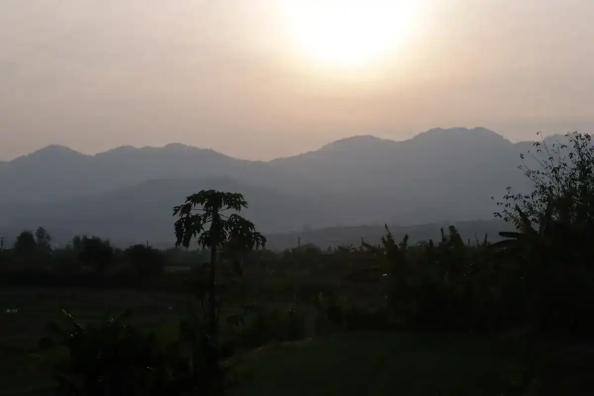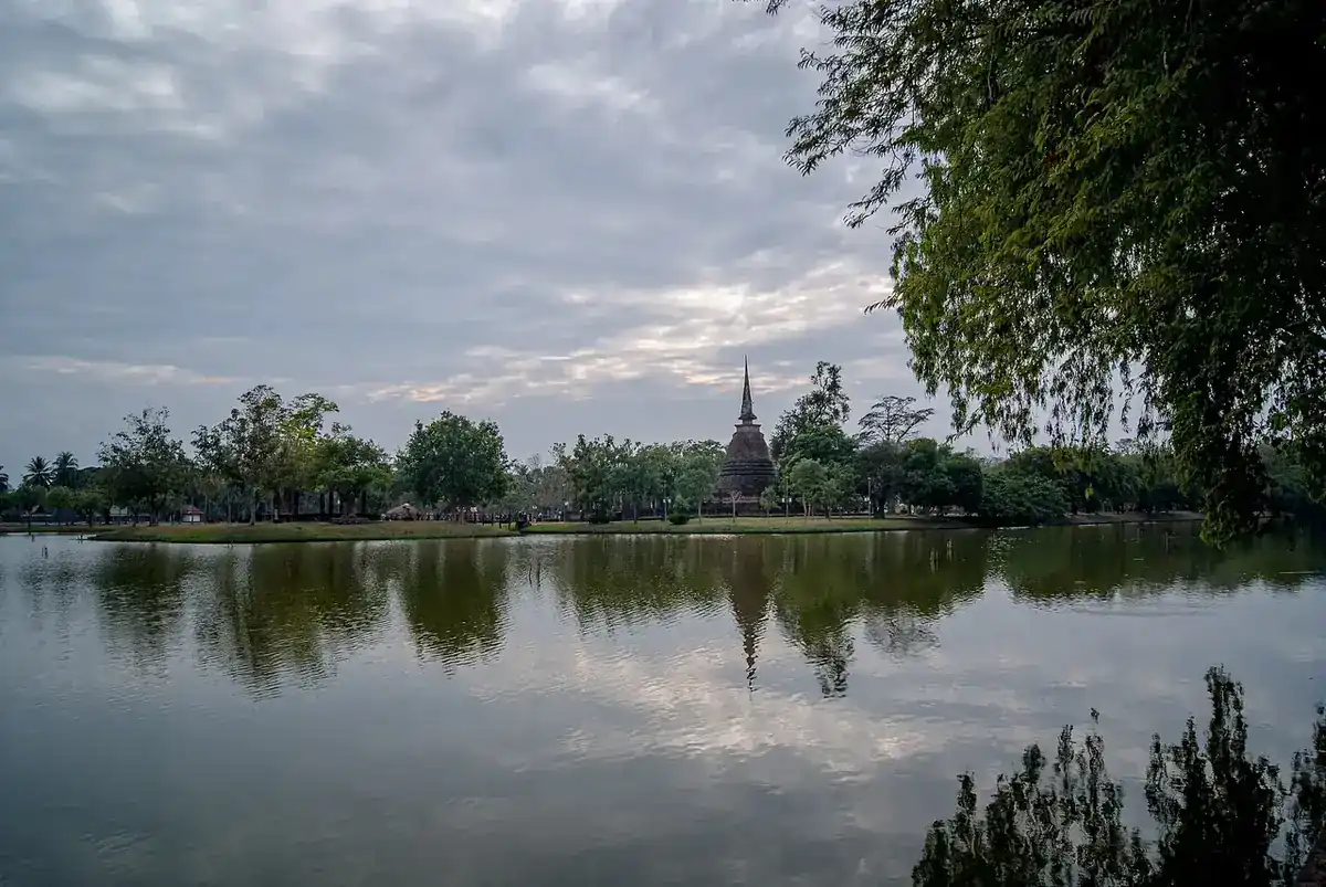
Mae Hong Son is a mountain province in north-west Thailand. Wikipedia calls it the most mountainous province in the country, with 85.5% forest cover, and all seven of its districts touch the Myanmar border. That shapes how you travel: you do not settle in one resort town but move along a route through small towns, so choosing where to sleep matters as much as choosing what to see.
This page collects facts checked against the sources listed at the bottom on 16 October 2026. We do not quote prices or timetables that we cannot read from an operator's own page. For hotel-level detail, see where to stay in Mae Hong Son, and for Thai readers ที่พักแม่ฮ่องสอน.
The towns to know
| Town | What it is | What we could check |
|---|---|---|
| Mae Hong Son town | Provincial capital on the Pai River | 240 m above sea level and 251 km from Chiang Mai (Wikipedia); the airport is in Chong Kham subdistrict |
| Mae Sariang | Small river town in the south of the province | Sits in a narrow valley; Salawin National Park lies within the district (Wikipedia) |
| Khun Yuam | District between Mae Sariang and Mae Hong Son town | The Yuam River runs through it; Mae Surin Waterfall is in Namtok Mae Surin National Park |
| Ban Rak Thai | Highland village in Mok Champae subdistrict | The sixth village of Mok Champae, Mueang Mae Hong Son district (Wikipedia) |
| Pang Mapha | Northernmost district | Prehistoric sites including Spirit Cave (Wikipedia) |
| Pai | Small valley tourist town | Has its own guide: see the Pai travel guide |
Getting to Mae Hong Son
Mae Hong Son town is about 251 km from Chiang Mai and 883 km from Bangkok by Wikipedia's figures. There are two main ways in.
- Fly: Wikipedia says Bangkok Airways flies daily from Chiang Mai to Mae Hong Son Airport. Schedules change, so check the airline and see Bangkok to Chiang Mai for the first leg.
- Drive via Pai: Wikivoyage lists Route 1095 as about 3 hours to Pai and about 5 hours to Mae Hong Son town from Chiang Mai. Our Chiang Mai to Pai guide covers the first stretch.
- Drive via Mae Sariang: Wikivoyage lists Route 108 as about 3 hours from Chiang Mai to Mae Sariang.
- The Mae Hong Son Loop: Wikivoyage describes it as about 600 km, starting and ending in Chiang Mai. Allow at least three to five days if you do not want to rush.
Mountain roads are winding. Check road conditions with the Department of Highways and the forecast from the Thai Meteorological Department before you set out. If you are not used to hairpin bends, a van or bus is calmer than driving yourself. For other northern routes see the Chiang Mai guide and Chiang Mai to Chiang Rai.
When to go
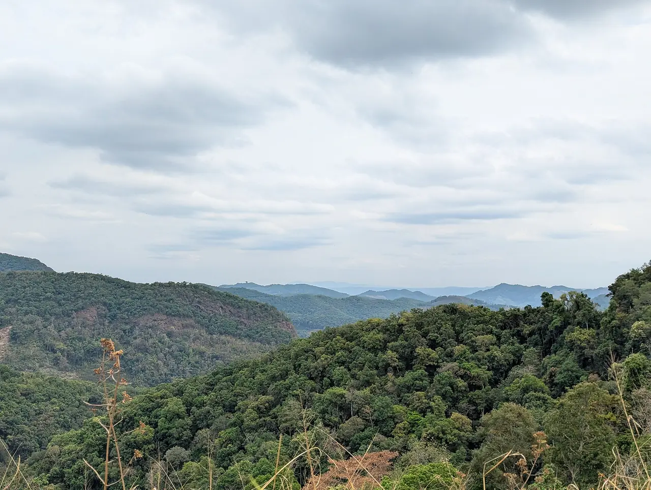
Wikipedia gives the province a tropical savanna climate: winters are dry and warm, and the monsoon runs from May to October. For Mae Sariang, the coolest months are December and January with mean daily lows of about 14 degrees Celsius, and the hottest are March and April. The province's record low of 3.9 degrees is an extreme, not a typical night.
Late winter into summer often brings smoke and haze across northern Thailand. Check the latest readings on Air4Thai before you lock in a hotel. See best time to visit Thailand by region for the national picture.
What to see, as far as we can verify
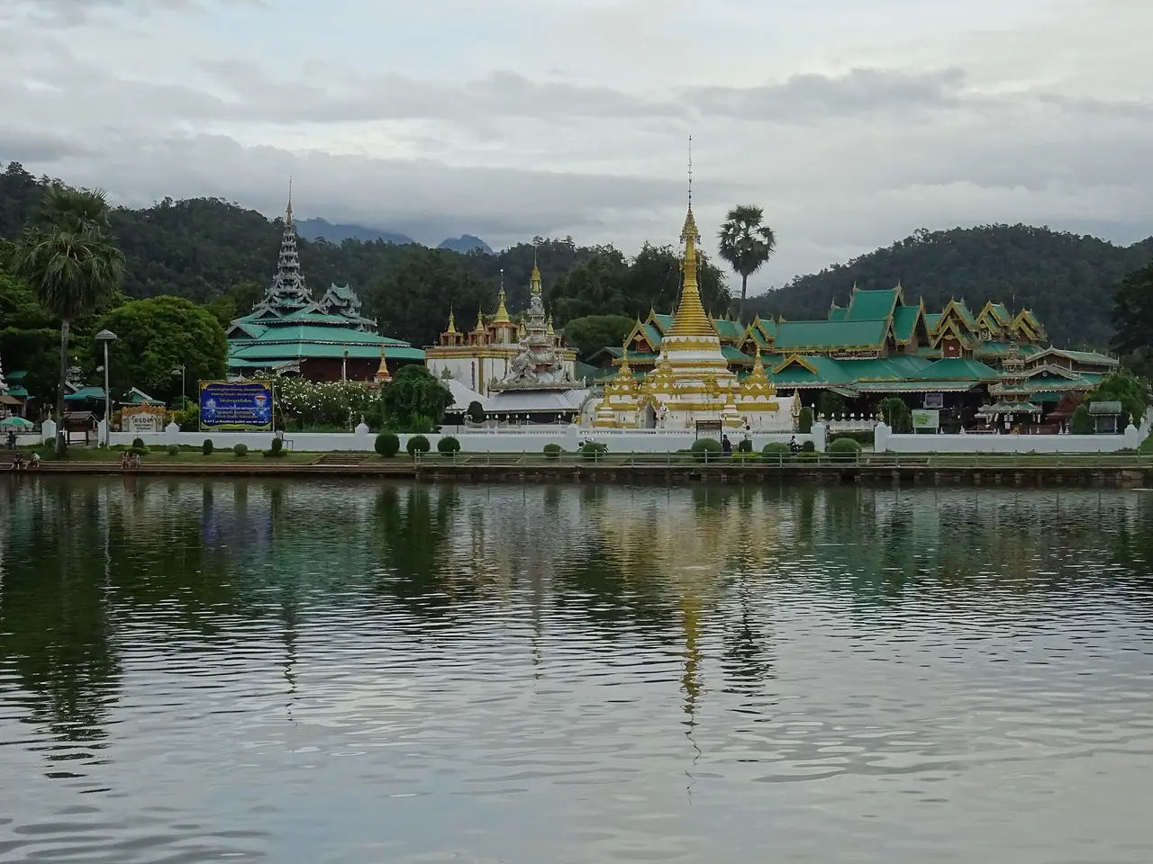
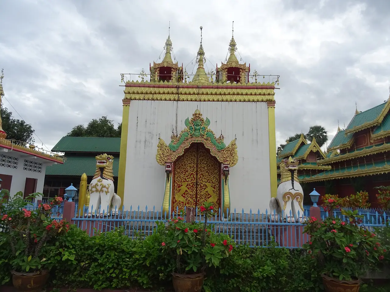
- Mae Hong Son town: Wat Chong Kham and Wat Chong Klang sit beside Chong Kham Lake near the centre, and Wat Phrathat Doi Kong Mu is on the hill above. Check opening times and dress rules before you go.
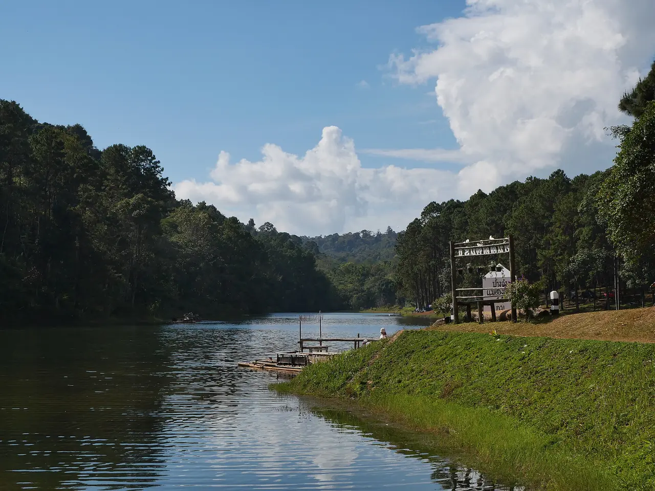
- Pang Ung: A mountain reservoir described on Wikimedia Commons as a Royal Initiative highland project.
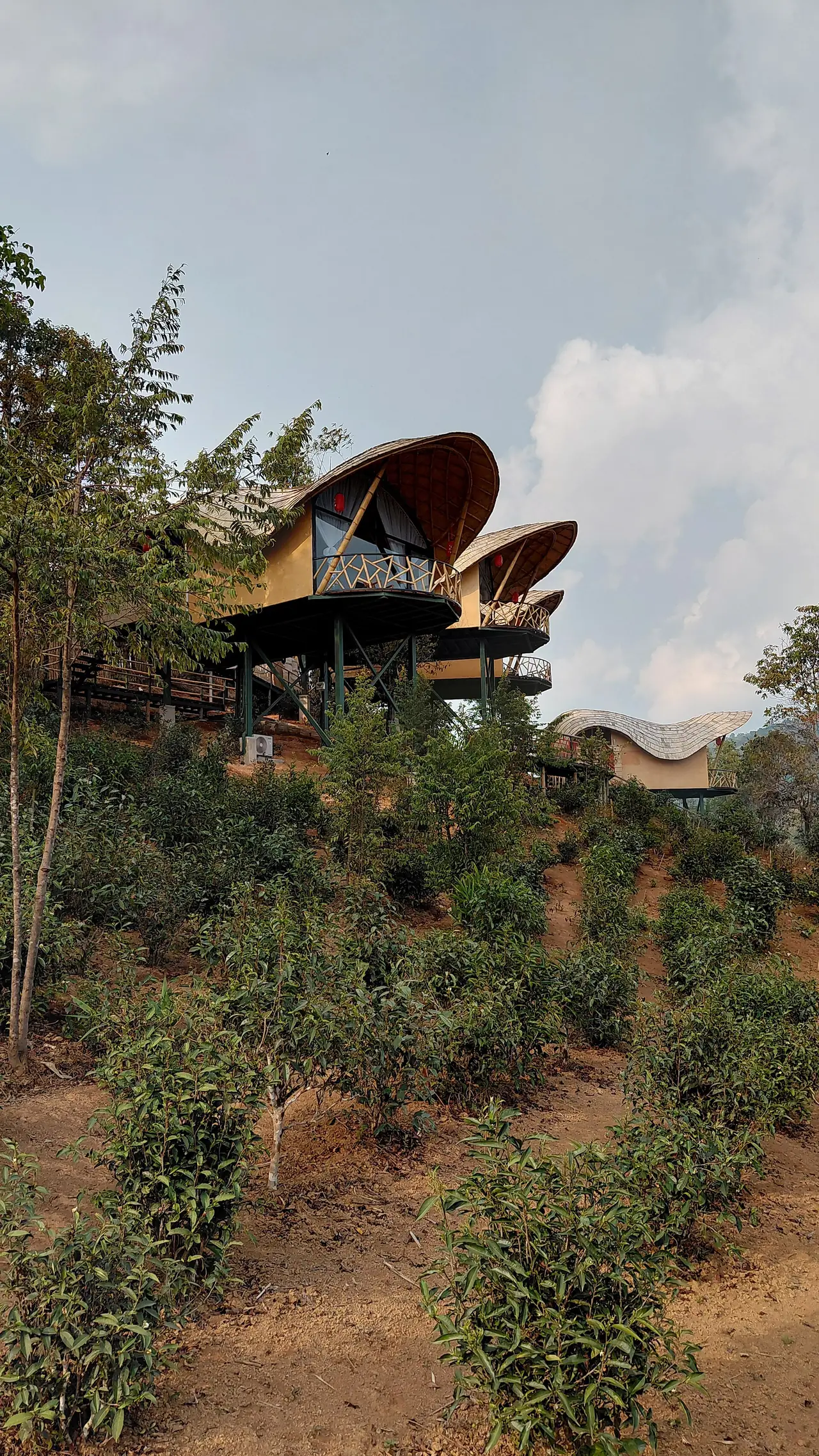
- Ban Rak Thai and the tea hills: A highland village in Mok Champae subdistrict. Check distances from town on a map before you plan.
- Mae Sariang: A river town with a market and temples along the riverside road, a natural base for the south of the loop.
- Pang Mapha: Prehistoric caves and sites, a useful stop between Pai and Mae Hong Son town.
We do not quote admission fees or opening times that we have not read on an official page; check the Tourism Authority of Thailand or the site itself.
Where to stay
Stays are spread by town, so choose a base to match your route. If you fly into Mae Hong Son Airport, the town is the simplest base. If you drive the loop via Mae Sariang, plan one night there. Ban Rak Thai suits people with their own transport or a hired driver. Our where to stay in Mae Hong Son guide compares areas and lists hotels whose facts were checked against their own websites. If you also stay in Pai, see where to stay in Pai.
Guides for Mae Hong Son and northern Thailand
- Where to stay in Mae Hong Son
- Mae Hong Son stay guide in Thai
- Pai travel guide and where to stay in Pai
- Chiang Mai travel guide and where to stay in Chiang Mai
- Chiang Rai travel guide and Chiang Mai to Chiang Rai
- Bangkok to Chiang Mai
FAQ
How do I get to Mae Hong Son?
Mae Hong Son town is about 251 km from Chiang Mai. You can fly from Chiang Mai (check the airline schedule) or drive via Pai or Mae Sariang, according to Wikipedia and Wikivoyage.
Should I stay in Mae Hong Son town or Mae Sariang?
It depends on your route. If you fly into Mae Hong Son, stay in town. If you drive the loop via Mae Sariang, one night there breaks the drive. See the area table in the stay guide.
When is the best time to visit Mae Hong Son?
The dry, warm winter is usually easier than the May to October monsoon, per Wikipedia. Late winter into summer often brings haze, so check air quality before you go.
How long is the Mae Hong Son Loop?
About 600 km starting and ending in Chiang Mai, according to Wikivoyage. Allow at least three to five days.
Do I need a car?
Not always. If you fly into Mae Hong Son and stay in town, taxis or a hired driver work. For tea hills and several sights, a rental car or private driver is easier.
Is Pai part of Mae Hong Son?
Yes. Wikipedia lists Pai as one of the seven districts of Mae Hong Son province. It has its own guide: Pai travel guide.
Where is Ban Rak Thai?
It is the sixth village of Mok Champae subdistrict in Mueang Mae Hong Son district, according to Wikipedia. Check the distance and drive time on a map before you plan.
Is the air smoky in Mae Hong Son?
Northern Thailand often has smoke and haze from late winter into summer. Check Air4Thai before you confirm accommodation.
Official sources and further reading
Prices, schedules and entry rules change. Figures here are approximate as of 2026; always confirm on the official or operator page before you book. Spotted something out of date? Tell us.