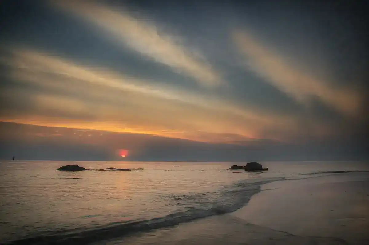
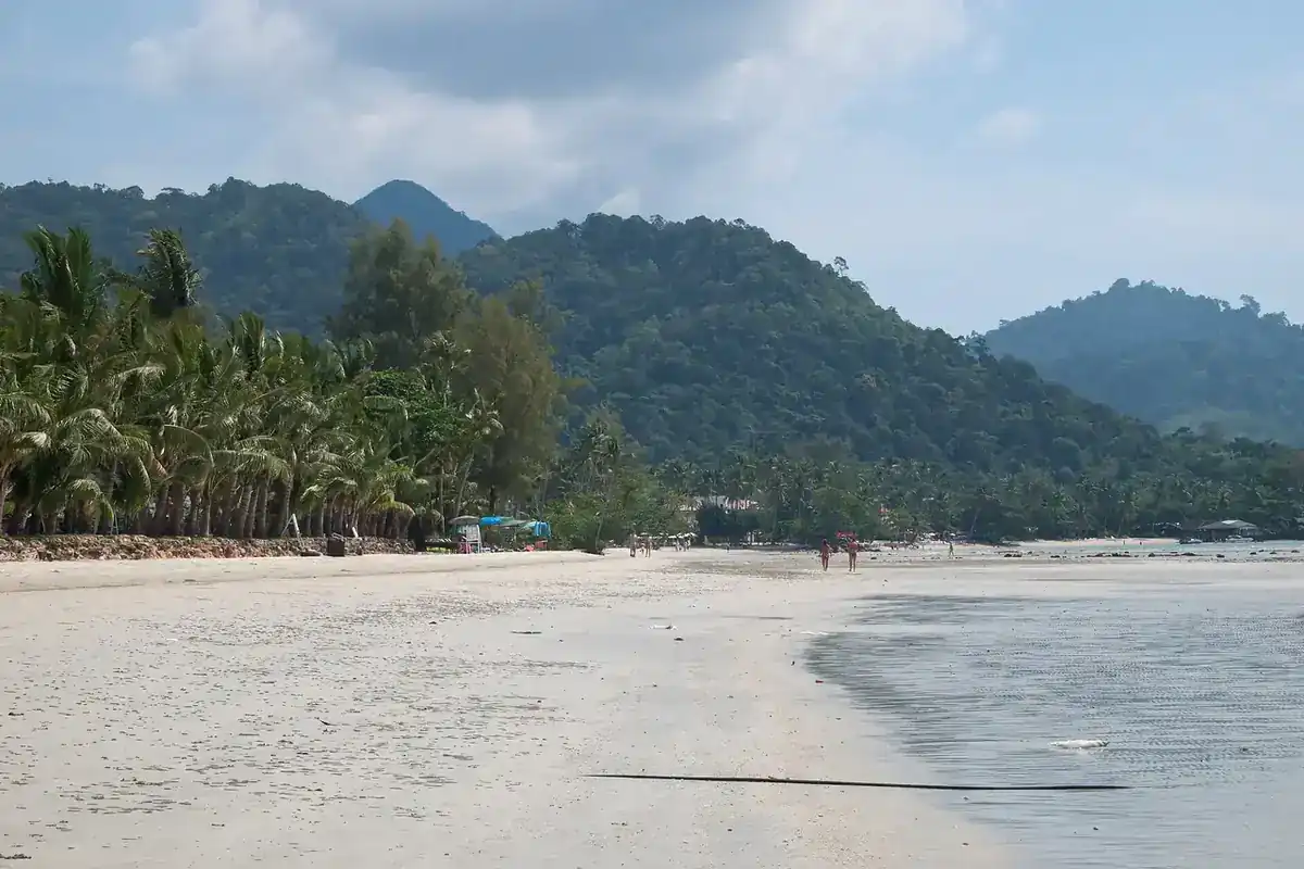
Sa Kaeo is a border province in eastern Thailand, about 200 km from Bangkok according to Wikipedia. It has Pang Sida National Park, part of the Dong Phayayen-Khao Yai UNESCO forest complex, an eroded landscape of soil pillars called Lalu, the limestone hills of Khao Chakan with 72 caves, and Khmer sanctuaries with some of the oldest dated inscriptions in Thailand. The first thing to know is the border. On 16 October 2026 we read the official travel advice of the UK and Canadian governments. Both say the Thai-Cambodian land border is closed or suspended, and both warn against travel in areas near it. Aranyaprathet is only about 6 km from the border, so it falls inside the zones they describe. This guide therefore says plainly what the official sources say and leaves the decision to you, after you check the latest news.
Before you plan: the Thai-Cambodian border
We give no view of our own on which areas are safe. This box only summarises what official sources wrote on 16 October 2026. Check your own government's current advice and Thai official announcements before booking, before you travel and again before you reach the area.
| Source | What it says (checked 16 Oct 2026) |
|---|---|
| UK government (FCDO), page updated 12 Oct 2026 | Advises against all but essential travel to areas within 20 km of the land border with Cambodia. Says land borders and crossings between the two countries remain suspended, that fighting occurred along parts of the border in July 2025 and again in early December, that unexploded landmines are present in the border area, and that tourist sites close to the border such as Preah Vihear and Ta Muen Thom are closed. |
| Government of Canada, page updated 13 Oct 2026 | Risk level "Avoid all travel" for the area within 50 km of the Thailand-Cambodia border. Says a ceasefire was agreed on 27 December 2025 and is in effect but the security environment stays unpredictable, land crossings are currently closed, Thai authorities have declared martial law in several border districts (with possible curfews, evacuations and movement restrictions), and mines and unexploded ordnance are present in the disputed regions. |
| US State Department | We could not open the Thailand advisory because the site asks visitors to pass a bot check first. We did not bypass it, so we quote nothing from this source. Please read it yourself. |
| TAT (Tourism Authority of Thailand) | The TAT website refused our requests, so we did not read its Sa Kaeo page and did not check Thai-side border announcements directly. |
Three practical points follow. First, do not plan to cross to Poipet or Siem Reap overland from Aranyaprathet, because both sources say the crossings are closed or suspended. Second, Aranyaprathet and Ta Phraya district, which touch the border, sit inside the radius both governments describe. If you go, ask your accommodation about curfews and routes and check local announcements. Third, other places in the province such as Pang Sida and Khao Chakan are further inland, but we did not compute real distances and no official source says whether each place is inside or outside the zones. Measure on a map against the UK 20 km and Canadian 50 km figures yourself.
What kind of province is Sa Kaeo
Wikipedia places Sa Kaeo in eastern Thailand, about 200 km from Bangkok, bordered by Chanthaburi, Chachoengsao, Prachinburi, Nakhon Ratchasima and Buriram, and by Banteay Meanchey and Battambang in Cambodia. It was separated from Prachinburi in 1993, when six districts were raised to provincial status, which makes it one of Thailand's newest provinces. It now has nine districts.
The name means crystal pond and comes from two ponds, Sa Kaeo and Sa Khwan, believed to be sacred and once used for royal ceremonies. They now lie in a public park next to the municipal office. Wikivoyage describes them as the origin of the province's name. The provincial seal shows the sun rising over Prasat Khao Noi Si Chomphu, which marks the province as the eastern frontier.
On geography, Wikipedia says the north is forested mountains of the Sankamphaeng and Dangrek ranges, while the south has the foothills of the Cardamom Mountains, mostly deforested. About 22 percent of the province was forest in 2021, and there are two national parks, Pang Sida and Ta Phraya. Wikivoyage gives the province area as about 7,195 square kilometres.
History is a strong point. Wikipedia lists several Sanskrit and Khmer inscriptions from the sixth and seventh centuries found in the province, including the Khao Noi inscription of 637, the Khao Rang inscription of 639, and the Sdok Kok Thom stone of 1052 from the Angkorian period. Wikivoyage calls the Prasat Khao Noi inscription the oldest dated evidence of construction found in Thailand, at about the year 637. Wikipedia also records the darker side of the border region: Cambodian refugee camps in past decades and landmines left along the frontier, which is why you should only walk where officials allow it.
Getting there
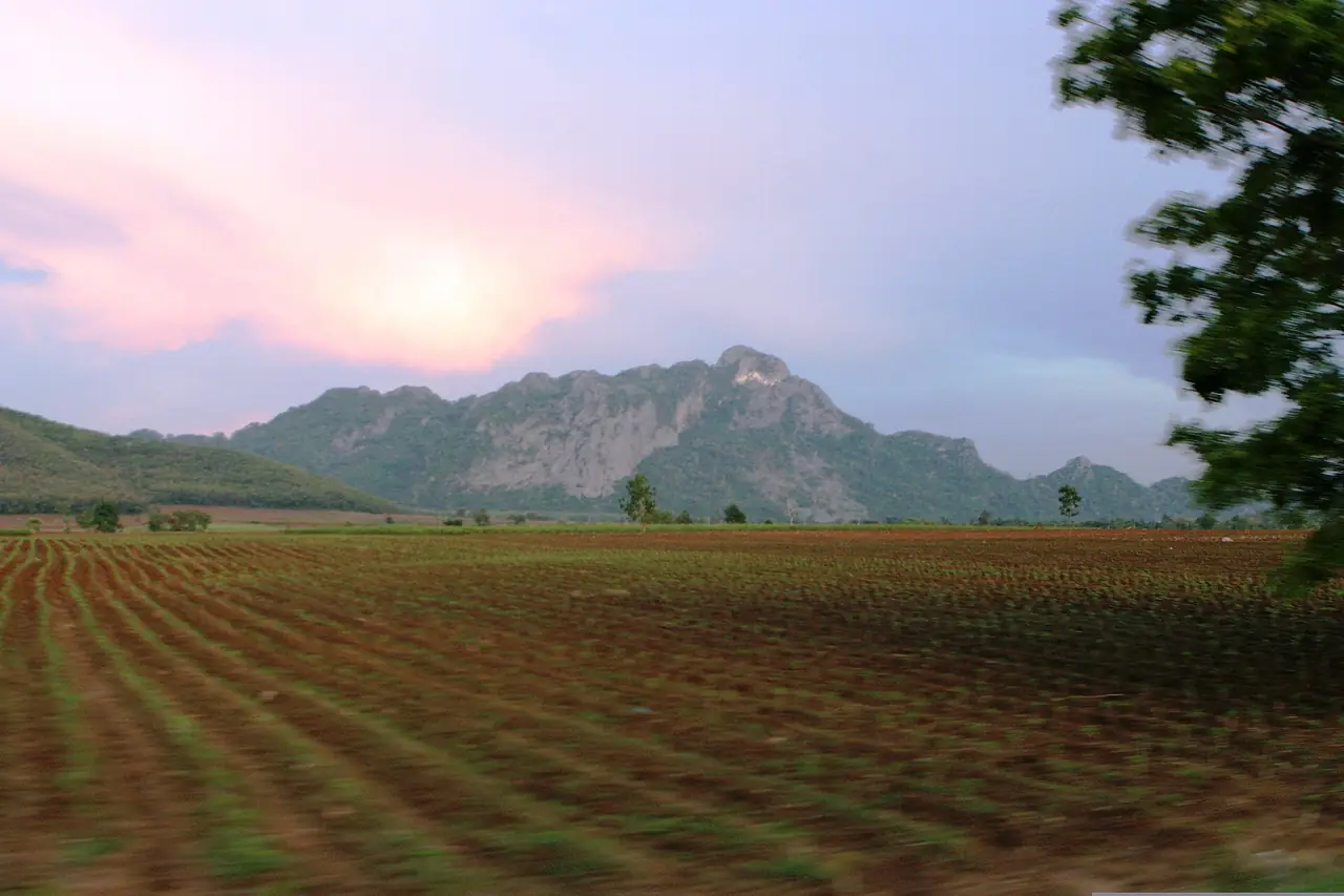
Wikivoyage gives driving routes from Bangkok of about 210 to 245 km, for example via Rangsit, Ongkharak, Nakhon Nayok and Highway 33 through Kabin Buri (214 km), or Highway 304 through Chachoengsao and Phanom Sarakham then Highway 33 (210 km).
| From | How | What the source says |
|---|---|---|
| Bangkok | Own car | Wikivoyage gives about 210 to 245 km depending on route |
| Bangkok | Bus or van via 12Go | See Booking tickets below; this is what we saw on the page on 16 Oct 2026 |
| Bangkok | Eastern Line train | Wikivoyage says two trains a day each way; its old fare is 48 baht; we have not rechecked with State Railway of Thailand |
| Bangkok | Transport Company bus from Mo Chit or Ekkamai | Wikivoyage says about 4 hours; old information, check with the operator |
| Sa Kaeo town | To Aranyaprathet | Wikivoyage says Sa Kaeo town is about 50 km from Poipet |
Where sources disagree or are old
| Topic | What we found |
|---|---|
| Train times and fare | Wikivoyage lists departures at 05:55 and 13:05 as examples. We did not check the State Railway timetable, so we publish no times here. |
| Bus price | Wikivoyage's figure is old and differs from what 12Go showed on 16 Oct 2026. Use the operator's own price before travelling. |
| Border opening hours | Wikivoyage says the border is open 08:00 to 20:00, but that predates the 2025 events. The UK and Canada now say the border is closed or suspended. |
The train times, bus prices and border hours in Wikivoyage are old. Do not plan around them. Check with State Railway of Thailand, the bus operators and the latest official announcements.
Booking tickets
The 12Go route page for Bangkok to Sa Kaeo, opened in a real browser on 16 October 2026 and searched for Sunday 18 October with 2 travellers, showed 11 trips from THB 351 to THB 6,250: 2 buses from THB 351 and 9 taxis from THB 2,760. The buses were Chuen Sombat Tour services from Ekkamai, with drop-offs listed at Big C Supercenter Sa Kaeo and at Khao Chakan, 3 departures a day, the first at 07:00. The taxis listed operators including Kim Transfers Thailand, Kanokwan Travel, Than Car Service and Andaman Taxis, with pick-up in Bangkok or at Suvarnabhumi Airport. These are the figures the page showed at that moment, not guaranteed prices, and we did not try to buy a ticket. This link may earn us a commission, which does not change the price you see.
Note that 12Go takes you to Sa Kaeo town or Khao Chakan only. It does not cover border crossings, and we did not check whether public transport runs inside the province to Pang Sida or Lalu. For sights outside town, a hire car or a driver arranged through your accommodation is the realistic choice.
Best time to go
Wikipedia describes three seasons at Ta Phraya National Park: summer from February to April, rainy from May to October under the southwest monsoon, and winter from November to January. We found no checked monthly temperature or rainfall figures for Pang Sida, so treat Ta Phraya's seasons as a rough guide since both parks sit in the same mountains. We have not confirmed this with the national parks department.
For forest and waterfall visits, the rainy season means slippery trails and more water, and the cool season is easier for walking. For butterflies at Pang Sida, Wikipedia says hundreds gather in an area within 2 km of the entrance "in certain seasons" without naming months. We therefore name no month; ask park staff before you go.
Annual events collected by Wikivoyage include an Eastern Cultural Fair and Red Cross fair in mid-February, Cantaloupe Day in front of the Aranyaprathet District Office in April, a province anniversary event around December and Dok Kaeo Blooming Day around December. This is secondary information from before the 2025 border events, so confirm with the province that these still run and when.
Pang Sida and the eastern forests
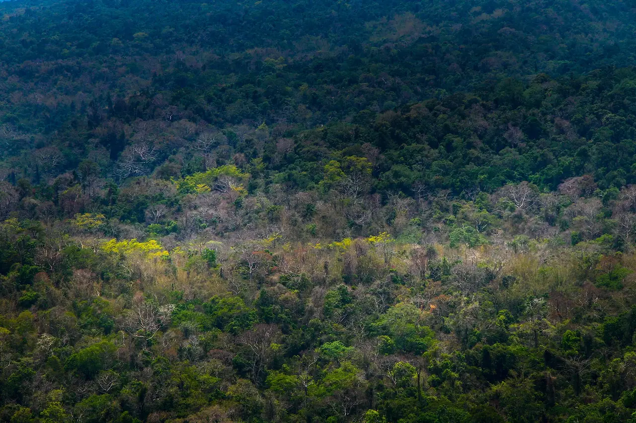
Pang Sida National Park. Wikipedia says the park is in the Sankamphaeng Range, covers 527,500 rai, lies 28 km north of Sa Kaeo city, and forms part of the Dong Phayayen-Khao Yai Forest Complex World Heritage Site with Khao Yai, Thap Lan, Ta Phraya and Dong Yai, around 6,100 square kilometres together. Its highlight is Pang Sida waterfall. Data collected in 2000 counted 271 vertebrate species, including 81 mammals and 143 birds, and the critically endangered Siamese crocodile is reported, along with Asian elephant, gaur, dhole, leopard, sun bear and white-handed gibbon. Wikipedia gives about 49,915 visitors in fiscal year 2024.
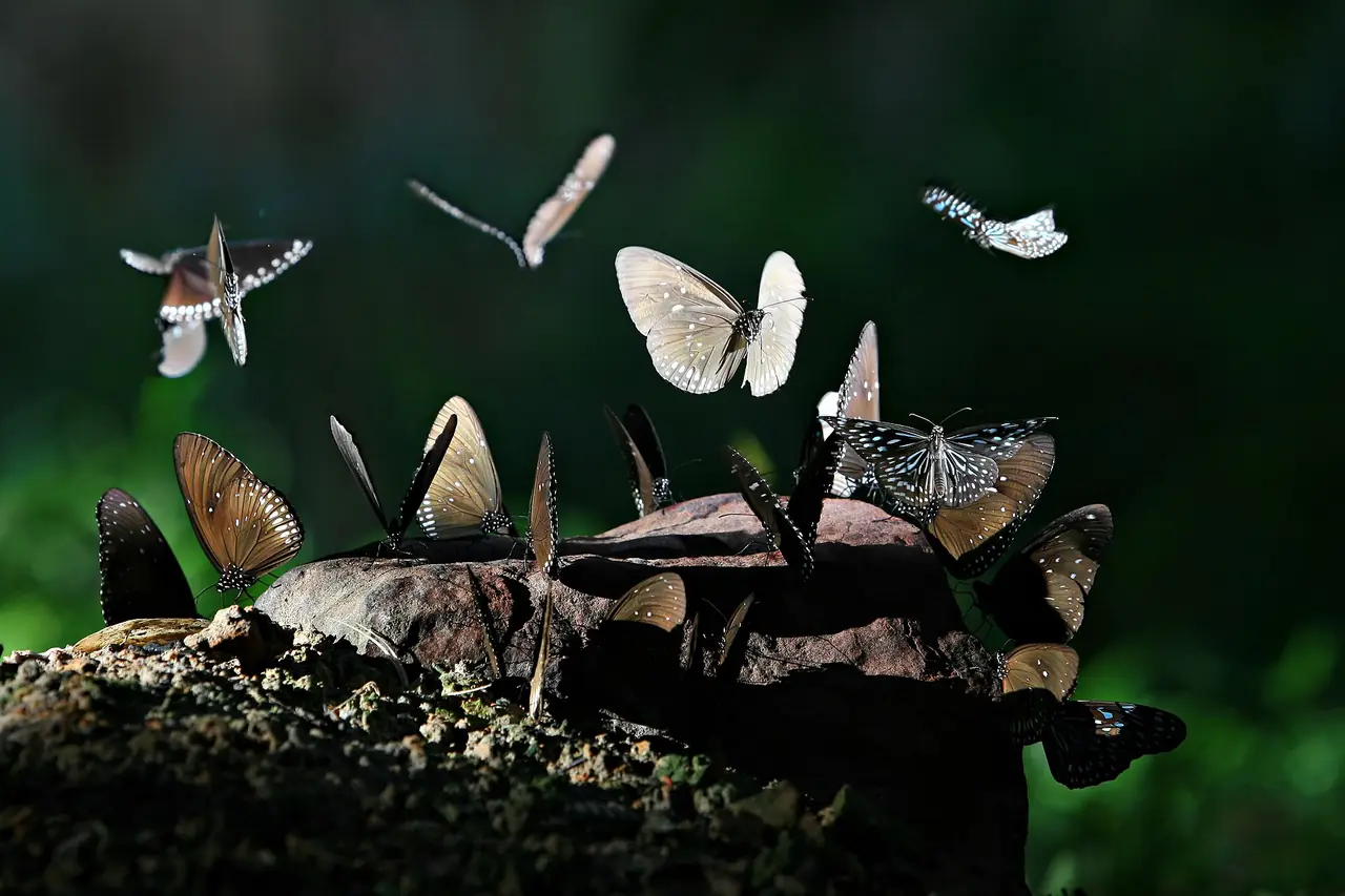
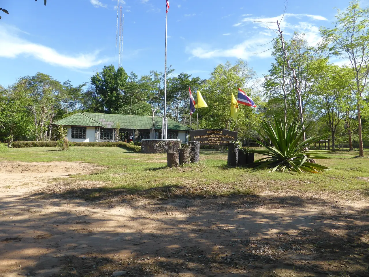
For visitors, Wikipedia says a butterfly area lies within 2 km of the entrance and a controlled gate just beyond it; visitors are asked to consult the visitor centre for a guide before going further. About 6 km further, a footpath leads to a gaur grassland with an observation tower, and a viewpoint lies 25 km from the entrance. The entrance area has a restaurant, a campground and a visitor centre. There are two main campsites, one by the entrance and one about 20 km along the road near the viewpoint, tents can be rented at the visitor centre, and a few guesthouses stand near the entrance. Wikipedia says foreigners pay 200 baht at the gate, but that is old, and we did not check fees or opening hours with the national parks department, so please confirm before you go.
Phra Prong Dam and waterfalls. Wikivoyage calls Phra Prong the largest irrigation dam in Sa Kaeo, with a reservoir that floods forest inside Pang Sida National Park and gives the area scenery, and lists Khao Sip Ha Chan waterfall, which it says flows all year with forest and birds around it. It also lists Tha Krabak Reservoir, an earth-fill dam 17.5 m high and 720 m long.
Ta Phraya National Park. Wikipedia says it lies at the eastern end of the Sankamphaeng Range where it meets the Dangrek Range near the Cambodian border, mostly in Ta Phraya district, was established in 1996, covers 371,250 rai, and has Khao Pran Nut (579 m) as its highest peak. It includes Khmer ruins such as Prasat Khao Lon. Wikipedia also says Siamese rosewood in the park is illegally logged and rangers have trained in counter-poaching since 2015. The park sits near the border and Wikipedia gives only about 5,662 visitors for fiscal year 2024. Check both park status and the border advice above before you consider a visit.
Lalu, old sanctuaries and Khao Chakan
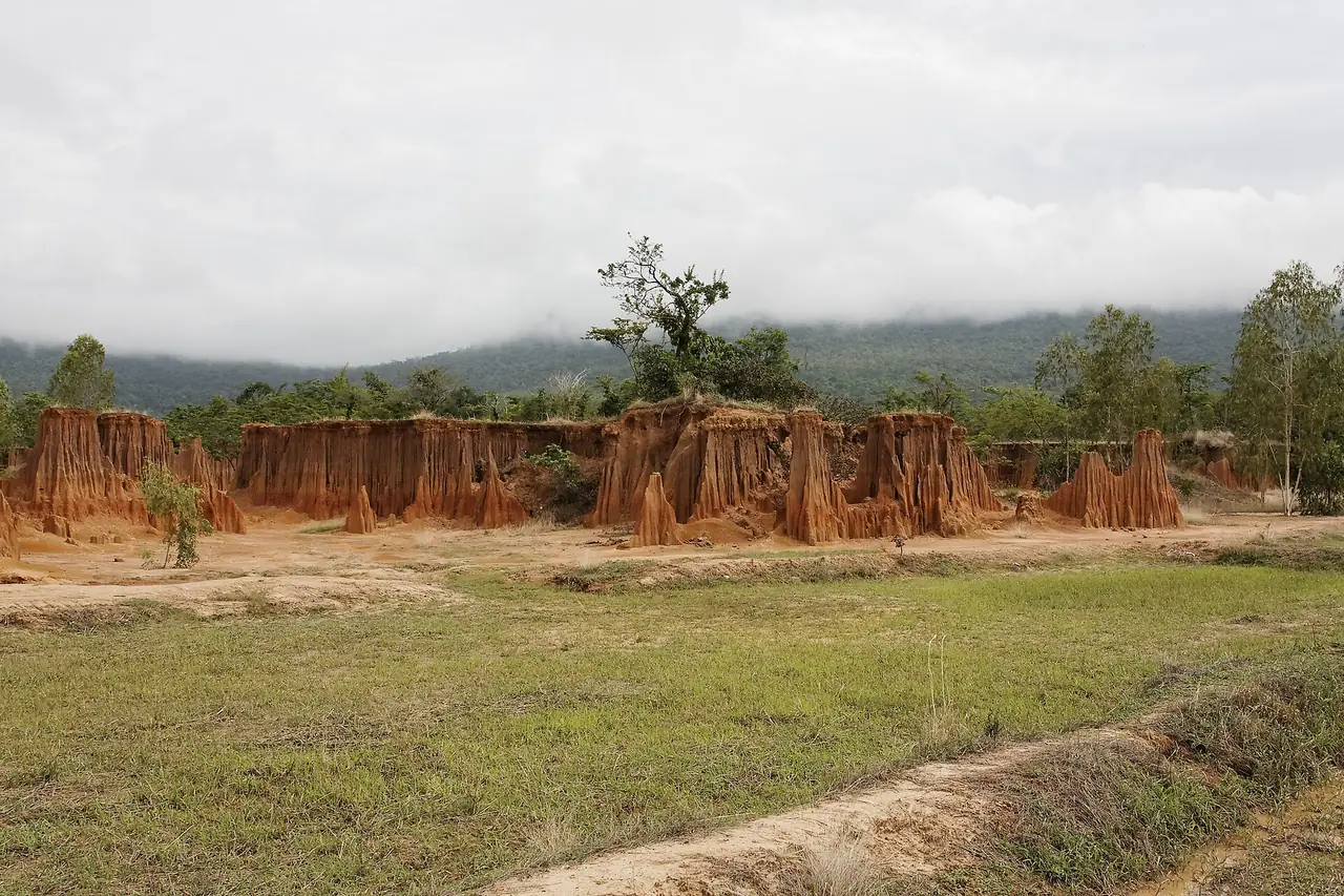
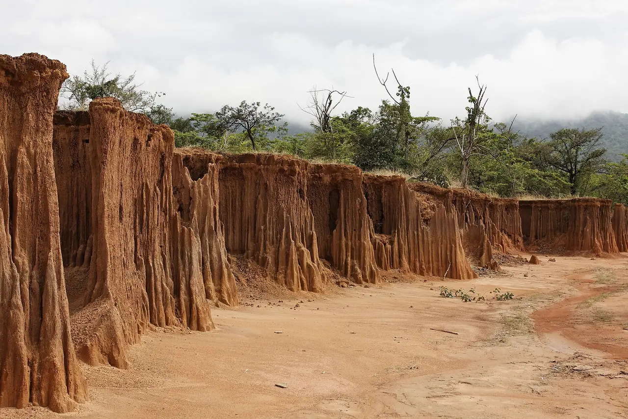
Lalu. Wikivoyage describes it as a natural canyon-like formation caused by ground subsidence and erosion. The Wikimedia Commons description of our photo says it is at Ban Khlong Yang in a subdistrict spelled Tapraj, that "lalu" is a Khmer word meaning pierced, that the eroded shapes look like city walls, cliffs and rockets, and that it is also nicknamed the new Phae Mueang Phi after the similar formations in Phrae province. We have not checked which district this subdistrict belongs to from an official source, nor opening hours, fees or distance from the border, so check before you go.
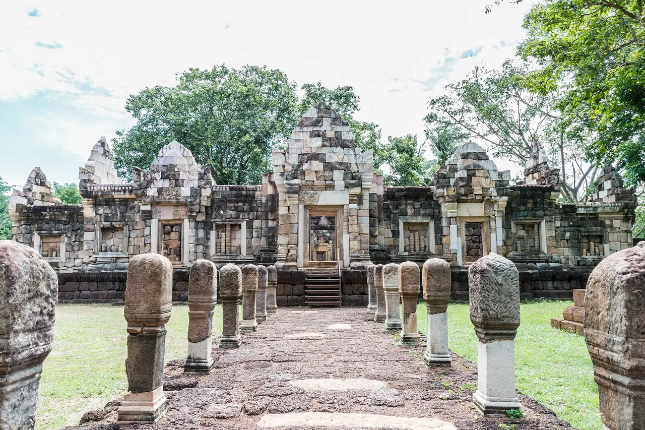
Prasat Sdok Kok Thom. Wikivoyage says it is a large ancient monument with three towers facing east, a moat on all four sides and two enclosure walls, the outer of laterite and the inner of sandstone, and that two stone inscriptions in old Khmer were found there. Wikipedia says one of them (K. 235) is dated 1052 in the reign of Udayadityavarman II. Wikivoyage adds that the other praises a king who restored the sanctuary. Our Commons photo is titled as the entrance of the site in Sa Kaeo province.
Prasat Khao Noi Si Chomphu. Wikivoyage says it is believed to have been a Hindu shrine, built of brick without mortar, with a northern prang, a central prang and a southern wihan; only the central prang is in good condition, and only the bases of the other two remain. Wikipedia places Prasat Khao Noi in Aranyaprathet district. Wikivoyage also lists Prasat Mueang Phai, Prasat Ban Noi and Prasat Khao Lon, a small hilltop sanctuary in Ta Phraya district where only the central tower of four remains.
Khao Chakan. Wikipedia says the district is named after a group of limestone hills rising from the plain, with 72 caves including the cave temple Wat Tham Khao Chakan, and about 2,000 crab-eating macaques. Wikivoyage adds that Khao Chakan is the largest of three hills, with a summit 240 m above sea level, and names popular caves such as Tham Muet, Tham Hanuman, Tham Khao Thalu, Tham Mahahing and Tham Namthip, with a replica Buddha footprint at Tham Khao Thalu. Macaques at public sights grab food and shiny things, so keep food and valuables out of sight and do not feed wild animals.
Aranyaprathet and Rong Kluea Market
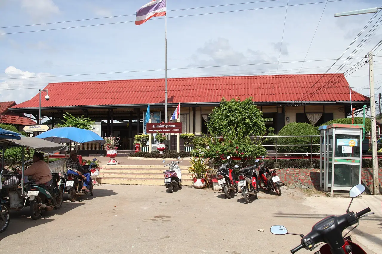
Wikipedia describes Aranyaprathet as a small town of 16,937 people (2005 figure) a few kilometres from the border, with Poipet on the other side. It says the busiest Thailand-Cambodia crossing is at Ban Khlong Luek about 6 km from the town, and that before 1975 the town was a stop on the railway between Bangkok and Phnom Penh; the Eastern Line still reaches Aranyaprathet.
Rong Kluea Market. Wikipedia says it is a border market in Aranyaprathet district with 1,380 stores (a figure without a date), mostly with goods from the Cambodian side such as polished brass, porcelain, clothing and cheap electronics. Wikivoyage says it sits next to Thai immigration and that many traders are Khmer from Poipet. All of this describes the situation before the 2025 border closure, so we do not know how the market operates now and you should not assume it is open as before. Check with local authorities or your accommodation.
Wikivoyage warns of scams around the border aimed at foreigners crossing into Cambodia, such as claims that you must take a special bus to get a visa or that a tout can speed your visa. That section is old and concerns a crossing that is now closed, but the general rule still holds: decline anyone offering visa or border paperwork services and use official channels only.
Local products
Wikivoyage mentions cantaloupes from Aranyaprathet, famed for sweetness and crispness and harvested around April, hand-woven Ban Han Sai silk from Aranyaprathet district, bamboo basketry and ceramics wrapped in basketry, wooden furniture from Makha Mong wood in Wang Nam Yen district, and I Koi wine, a Thai herbal wine from wild grapes made in Ta Phraya district. It also says the Wang Nam Yen dairy cooperative, founded in 1987, is the country's second biggest milk producer; its membership and output figures are old and we have not checked them.
Where to stay
We have no where-to-stay page for Sa Kaeo yet. We only name hotels we can verify twice against the hotel's own official website, and for Sa Kaeo we could not find enough official hotel sites that load and can be read. This section therefore gives area advice only and names no hotels.
- Sa Kaeo town: suits people with a car who want a base in the middle of the province, with Pang Sida 28 km north and Khao Chakan to the west according to Wikipedia and Wikivoyage.
- Near Pang Sida: Wikipedia says guesthouses stand near the park entrance and campsites exist inside the park; Wikivoyage mentions a small resort near the park, but we have not checked that it still operates.
- Aranyaprathet: the base closest to the border and inside the radius the UK and Canada warn about. If you stay, check local announcements about curfews and martial law before booking and look for flexible cancellation.
We do not recommend booking a room without free cancellation if border conditions can change quickly, and we have not checked any hotel's policy in this province.
One or two days
For drivers who have read the latest advice and choose to keep away from the border, a plan that fits the distances in the sources is: leave Bangkok early on Highway 33 through Kabin Buri, stop at the Sa Kaeo and Sa Khwan ponds in town, then drive 28 km north to Pang Sida, look for butterflies near the entrance and ask the visitor centre for a guide. On day two, go west of town to Khao Chakan and its caves and cave temple before heading back. If you want the old sanctuaries, first check that Prasat Sdok Kok Thom and Lalu are open and outside any zone the authorities warn about. Do not plan an overland trip into Cambodia.
Nearby destinations
- Prachinburi: the neighbouring province to the west, reached through Kabin Buri on Highway 33
- Khao Yai: a park in the same forest complex as Pang Sida, according to Wikipedia
- Nakhon Nayok: the province Highway 33 passes through on the way from Bangkok
- Chachoengsao: a neighbour to the south-west
- Chanthaburi: a neighbour to the south; Wikivoyage lists buses from Sa Kaeo to Chanthaburi
- Buriram: a neighbour to the north-east
- Rayong: a coastal destination many people continue to
- Bangkok: where most journeys start
- Thailand overview
- Nakhon Ratchasima (Korat): Thao Suranari, Phimai and the gateway to Isaan
Frequently asked questions
Can I cross the border from Aranyaprathet to Poipet?
The UK advice updated on 12 October 2026 and the Canadian advice updated on 13 October 2026 both say land crossings between Thailand and Cambodia are closed or suspended. We did not check Thai official announcements directly. Check with the authorities and your embassy before planning, and do not buy a through ticket that needs a crossing without confirming the latest status.
Is Sa Kaeo safe to visit?
We cannot answer for the authorities. The UK advises against all but essential travel within 20 km of the land border with Cambodia and Canada advises avoiding all travel within 50 km. The texts we read did not list other parts of the province as warning areas. Check a map and your own government's advice before you go.
How far is Sa Kaeo from Bangkok?
Wikipedia says about 200 km and Wikivoyage gives 210 to 245 km of driving depending on the route. On the 12Go page we opened on 16 October 2026, the sample buses listed 2 h 40 min to 3 h 10 min. Real times depend on traffic.
Can I get to Sa Kaeo without driving?
You can reach Sa Kaeo town or Khao Chakan. 12Go showed Chuen Sombat Tour buses from Ekkamai and several taxi operators, and Wikivoyage says the Eastern Line runs to Sa Kaeo and Aranyaprathet, though we did not check the timetable. We found no checked public transport to Pang Sida or Lalu, so plan on a hire car or a driver arranged by your accommodation.
Which province is Pang Sida in?
Wikipedia says Pang Sida National Park is in Sa Kaeo province, 28 km north of Sa Kaeo city, and the Mueang Sa Kaeo district page says it lies in hills on the boundary with Prachinburi. Our Prachinburi guide notes that TAT counts Pang Sida among Prachinburi's parks, which disagrees with Wikipedia. Confirm with the park before planning.
When can you see butterflies at Pang Sida?
Wikipedia says hundreds gather within 2 km of the entrance in certain seasons and names no months, so we do not either. Ask the park's visitor centre before you go.
What is Lalu and can I visit?
Lalu is a set of pillars and walls of eroded soil, as described by Wikivoyage and the Wikimedia Commons description. We have not checked opening hours, fees or distance from the border, so confirm with local authorities and the border advice above.
Do you recommend a hotel?
Not yet. We could not verify enough hotels against their own official websites, so the where-to-stay section above gives area advice only.
Official sources and further reading
- Sa Kaeo province (Wikipedia)
- Sa Kaeo (Wikivoyage)
- Aranyaprathet (Wikivoyage)
- Aranyaprathet district (Wikipedia)
- Pang Sida National Park (Wikipedia)
- Ta Phraya National Park (Wikipedia)
- Ta Phraya district (Wikipedia)
- Khao Chakan district (Wikipedia)
- Rong Kluea Market (Wikipedia)
- Thailand travel advice, UK FCDO
- Thailand travel advice, Government of Canada
- 12Go Bangkok to Sa Kaeo
Prices, schedules and entry rules change. Figures here are approximate as of 2026; always confirm on the official or operator page before you book. Spotted something out of date? Tell us.