Nakhon Nayok is the province Bangkok residents drive to for a weekend of cold water, green hills and a long reservoir. It sits on the north side of the Khao Yai mountains, so the waterfalls and the dam all lie on one road, highway 3049, rather than in a dozen directions. This guide covers the province: how to get there, the waterfalls, the dam, the town and the river and nature-park spots around it. For the park itself and its wildlife trails, we link to our Khao Yai guide rather than repeat it.
Everything here was checked on 16 October 2026 against the sources listed below. We say where they disagree and where we could not verify something. Hotels are in our where to stay in Nakhon Nayok guide, or in Thai, ที่พักนครนายก.
What Nakhon Nayok is
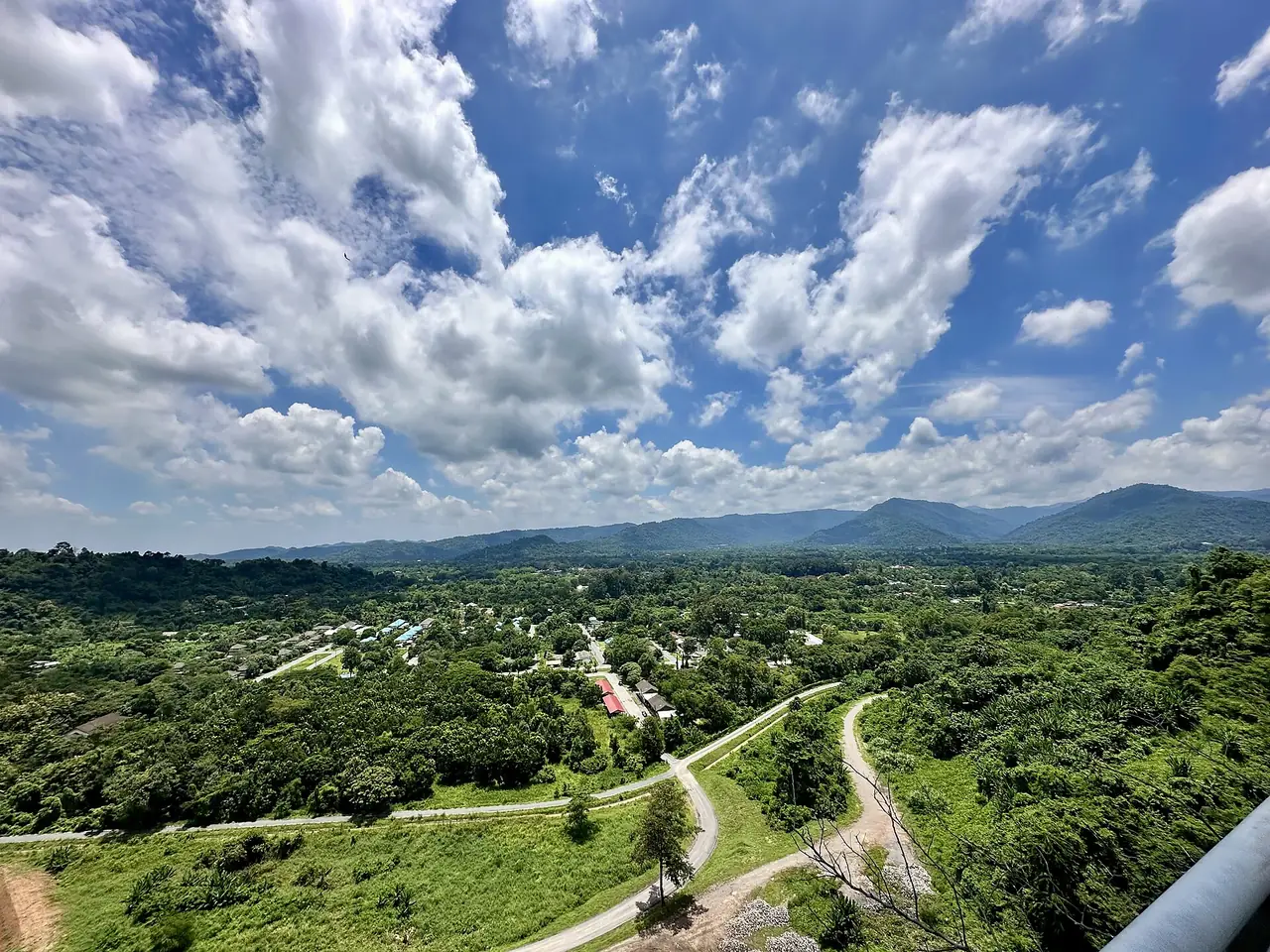
Wikipedia says the province's northern part is in the Sankamphaeng range, and that most of it is covered by Khao Yai National Park. The centre is a flat river plain along the Nakhon Nayok River, which Wikipedia names as the province's main river. It has four districts: Mueang Nakhon Nayok, Pak Phli, Ban Na and Ongkharak. The name literally means tax-free city, because according to Wikipedia na means a rice-field tax and yok means exempted.
Wikivoyage calls Nakhon Nayok a destination not far from Bangkok that comes alive with tourists during holidays, renowned for waterfalls and for fruit. Weekends and public holidays are therefore the busiest days; the provincial office page for the dam says the same about weekends.
Getting to Nakhon Nayok
| From | How | What the sources say |
|---|---|---|
| Bangkok by car | Highway 305 through Ongkharak | Wikivoyage: about 107 km and under two hours; Thai Wikipedia gives 105 km |
| Bangkok by car, other way | Highway 1, then Highway 33 | Wikivoyage: about 137 km |
| Bangkok by bus | Northern Bus Terminal | Wikivoyage names a state bus company serving the town; its link is marked dead, so check the operator |
| Bangkok, booking online | The 12Go route page | See below |
| Around the town | Tuk-tuk charter | Wikivoyage says tuk-tuks wait mostly at the town bus terminal |
| Town to the waterfalls and dam | Highway 3049 | The provincial office describes each waterfall and the dam as reached from this road |
The 12Go page for Bangkok to Nakhon Nayok listed the route by bus and taxi when we opened it in a real browser on 16 October 2026. The operators it showed were Andaman Taxis, Chainattour, Kim Transfers, NNS Luxury Limousine and Thailand Limo by Datum, with 14 departures a day, the earliest at 6:20 AM and the latest at 7:20 PM. We do not quote fares. The page also showed a distance of 9 km and a fastest time of 10 minutes, which cannot be right for Bangkok to Nakhon Nayok, so ignore those two figures and confirm the real journey time with the operator. Some links on this site may earn us a commission; that does not change the times or fares you see.
Where the sources disagree
| Item | What we found |
|---|---|
| Distance from Bangkok | 105 km (Thai Wikipedia), 107 km on the Highway 305 route (Wikivoyage), and a 9 km figure on the 12Go page that is obviously wrong |
| Highest point | 1,292 m, Yod Khao Kiew (English Wikipedia) against 1,351 m (Thai Wikipedia); Wikivoyage gives 1,351 m for Khao Rom Peak in Khao Yai |
| Nang Rong waterfall fee | English Wikipedia says there is an admission fee; the provincial office page lists a per-vehicle charge, and a comment on the same page says entry was free on one day in 2019 |
Treat any single figure as a starting point and confirm on the day.
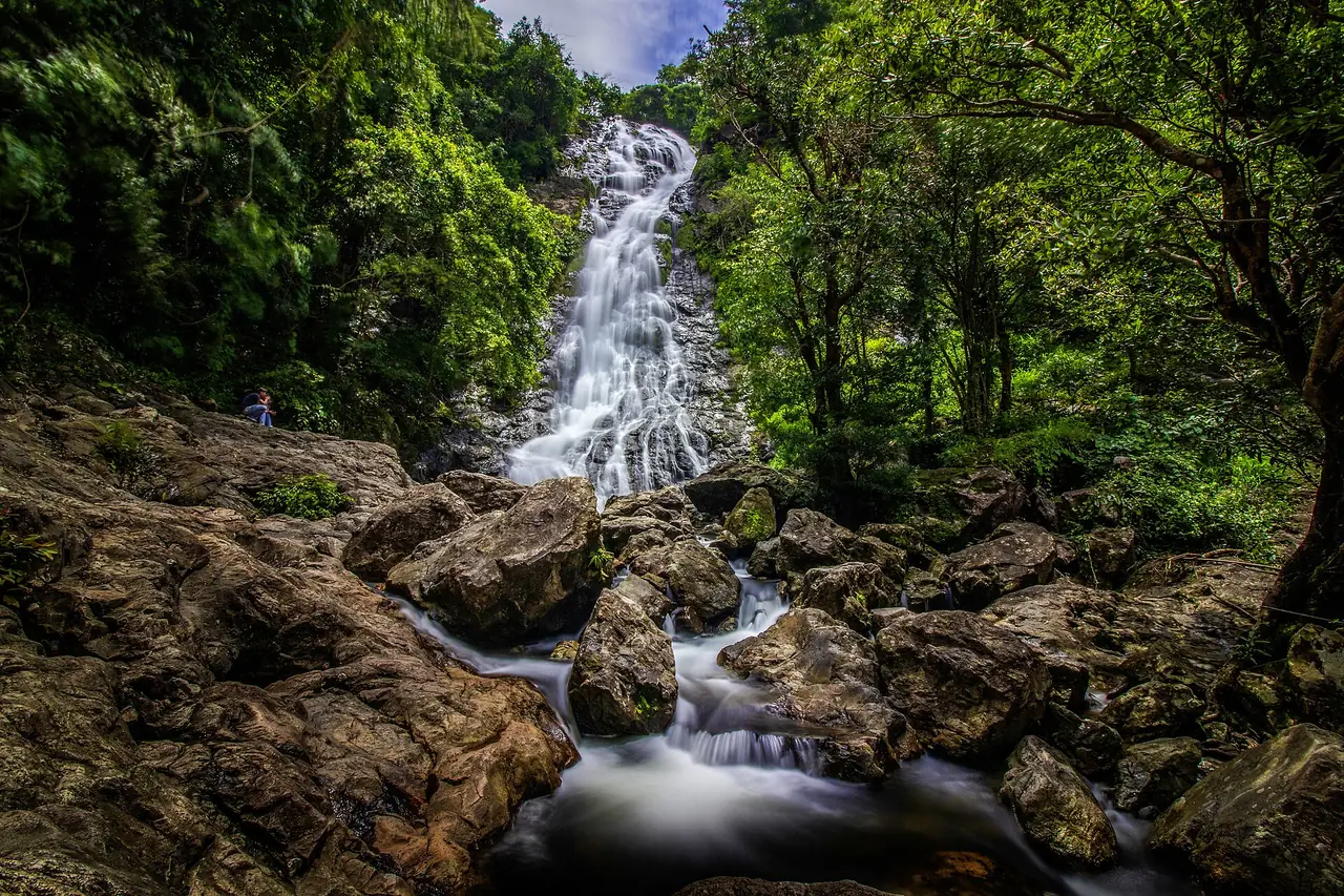
Waterfalls near Khao Yai
The best-known waterfalls are inside or beside Khao Yai National Park, off highway 3049.
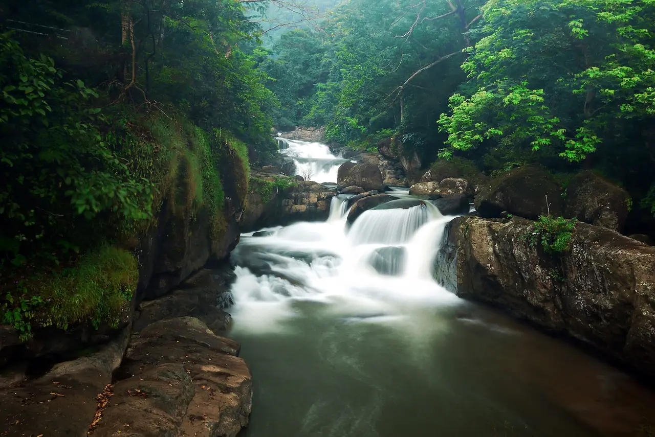
- Sarika Waterfall (Nam Tok Sarika): Wikivoyage calls it the most famous waterfall of Nakhon Nayok, with nine levels. The provincial office page says it opens daily 8:00 to 17:00 at the national-park rate of 40 baht for adults and 20 baht for children. That page is undated, so confirm before you go.
- Nang Rong Waterfall: Wikipedia says it is in the greater Khao Yai National Park and has multi-tier pools visitors may enter. The provincial office page says the provincial administrative organisation runs it, that it opens daily 6:00 to 18:00 and that it charges per vehicle.
- Kaeng Sam Chan: a river stretch of rapids rather than a fall. The provincial page says it opens daily 7:00 to 18:30, charges per car and sits about 3 km past the Sarika junction on highway 3049. It also tells visitors to wear a life jacket in the water.
- Wang Takhrai: Wikivoyage describes a shady spot with a small stream running through.
Wikivoyage says Sarika's basins hold a large amount of water in the rainy season and are dry in the dry season, so the fall you see depends on the month. Check the weather and any park notices before you swim.
Khun Dan Prakan Chon dam
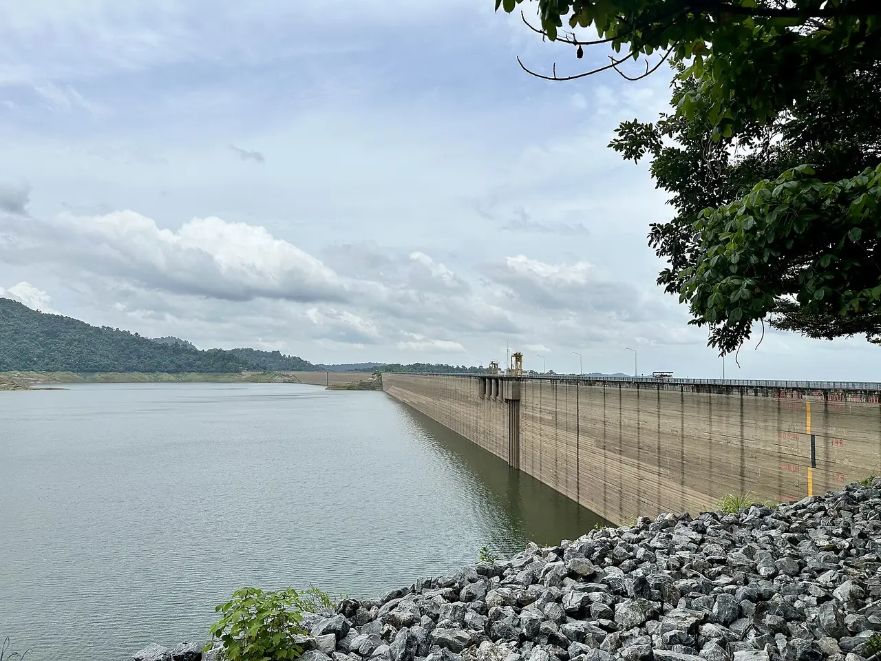
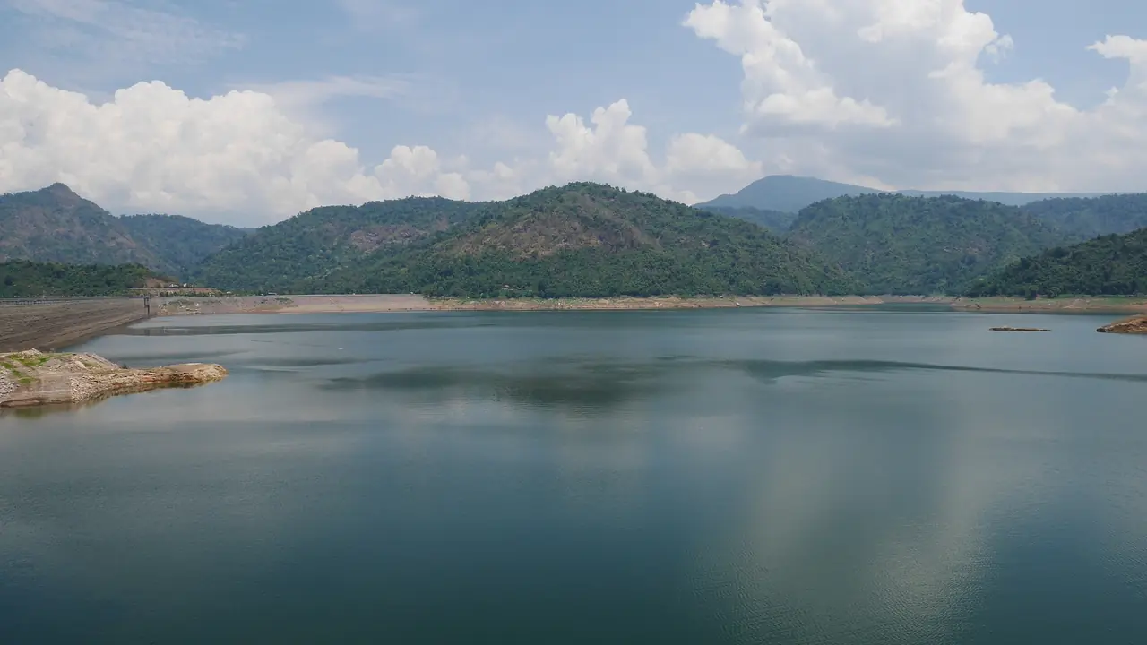
The provincial office page describes the dam as 2,720 metres long, 93 metres high and able to hold 224 million cubic metres. The same page lists two things to do: view the reservoir from the dam crest, and play in the water below the dam, where water is released on weekends and festivals. Thai Wikipedia adds that you can rent a longtail boat to see a waterfall deep in the reservoir, and calls it the longest roller-compacted concrete dam in the world.
Nakhon Nayok town
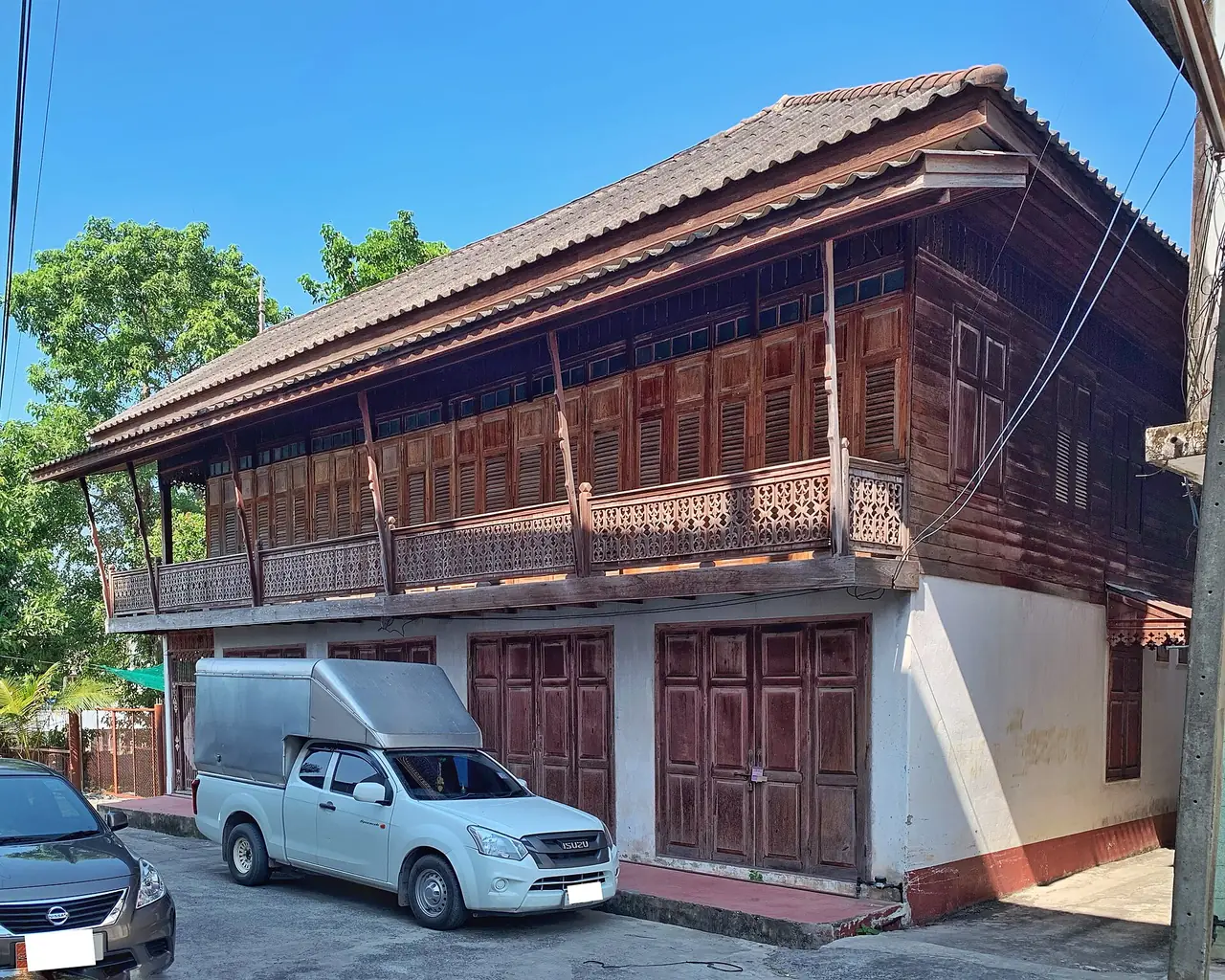
The town is small, but it has a handful of sights the provincial office and Wikivoyage both list.
- Chulachomklao Royal Military Academy: the provincial page says it is open to the public, and names the Khun Dan shrine, the 100-year museum and the circular pavilion that holds a statue of King Rama V.
- Wat Khao Nang Buat: a hilltop temple. The provincial page says there are 227 steps up to the replica Buddha footprint.
- Dong Lakhon ancient town: the provincial page says it opens daily 8:00 to 16:00, on about 3,000 rai with moats and earth banks. Wikivoyage says it is the site of the old Khmer-period town.
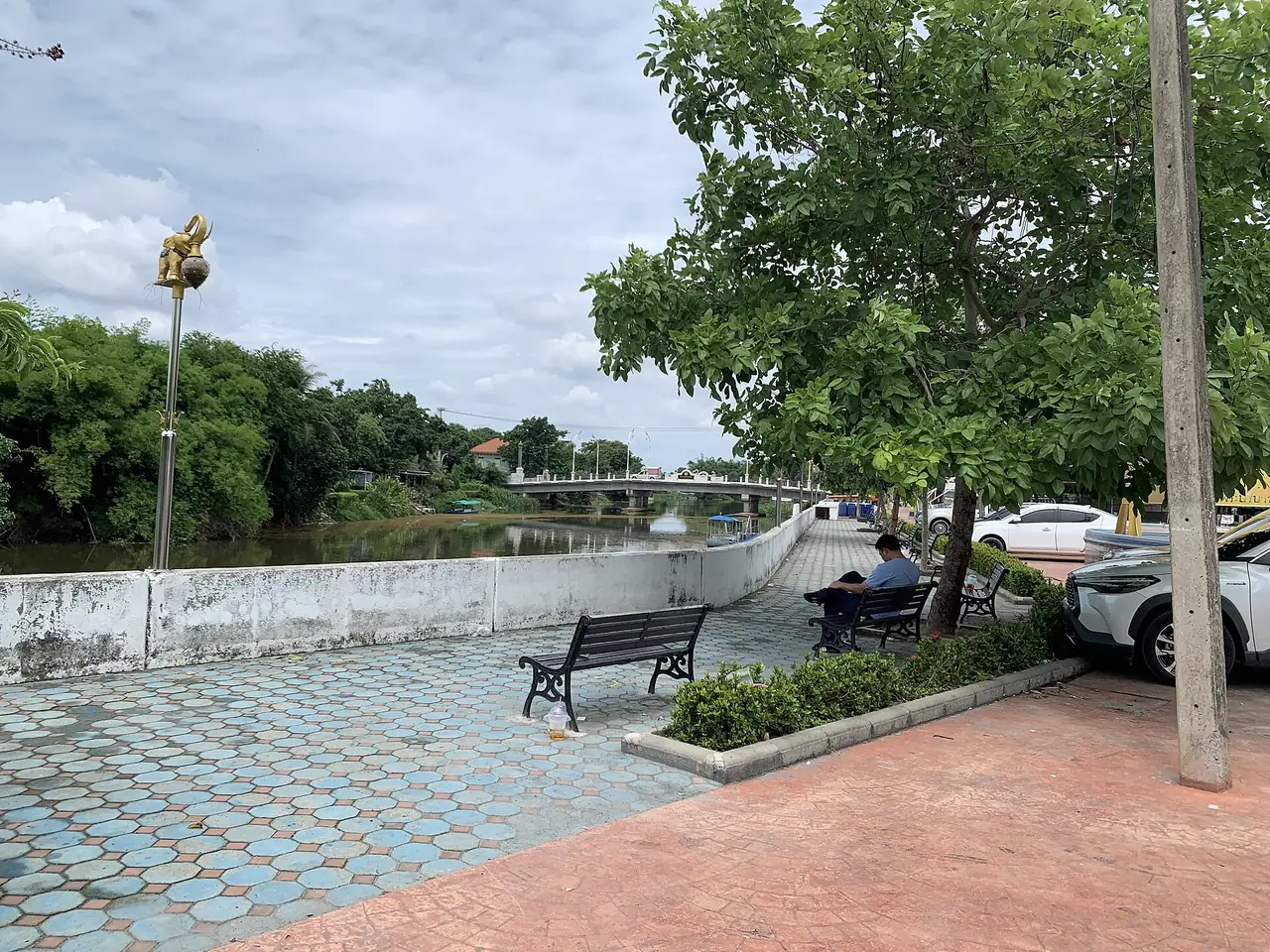
- City Pillar Shrine and the river: Wikivoyage lists the City Pillar Shrine as the most revered shrine of the townspeople.
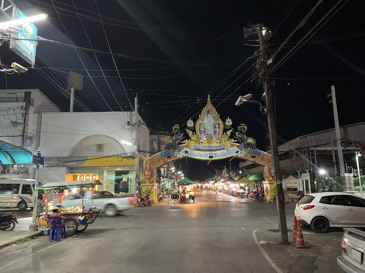
- The walking street: a Commons photo shows the town's municipal walking street at night, with an evening market under a decorated arch. We could not verify its days or hours, so ask locally.
North side of Khao Yai
Wikipedia puts most of the northern mountain area inside Khao Yai National Park. Wikivoyage says the park covers parts of four provinces, was declared in 1962, and is best visited from October to February. Highway 3049 is the road the provincial office gives for the waterfalls and the dam. For the park proper, use our Khao Yai guide. We have not verified current park fees or visiting rules, so check them on the day.
River and nature-park spots
- Huai Prue Reservoir and Sai Thong Reservoir: Wikivoyage lists both as small reservoirs; it says Huai Prue is filled all year round.
- Ka-ang waterfall and Wang Muang waterfall: Wikivoyage lists both in Ban Na district.
- Nakhon Nayok River: Wikivoyage mentions a sacred whirlpool in front of the Chao Pho Ongkharak shrine. We could not verify how to visit.
The seasons
Wikipedia gives an average annual rainfall of 1,823 mm in 134 days and says the monsoon season runs from May through October. Wikivoyage says the most suitable time for Khao Yai is the Thai winter, October to February, and the sweet plum mango (ma-prang) harvest runs from February to March. Wikivoyage also lists the Sat Thai and long-boat racing festival on Khlong 29 in Ongkharak each October. The waterfalls carry more water in the rains, so check conditions before you swim.
Where to stay
Our stay guide checks nine resorts against their own websites, in four areas plus one hotel that gives no location:
- Sarika and the Wang Takhrai road: Royal Hills Golf Resort & Spa, Rimtan Resort and @Rice Resort.
- Hin Tung, Nang Rong and Kaeng Sam Chan: Phumontra Resort, The Chill Resort and Sida Activity Resort.
- Khao Phra: Wangree Resort, which says pets are welcome.
- Ban Na district: Tara Chonlapruek Resort.
- Location not stated: Villa Panalai Resort and Spa.
Open where to stay in Nakhon Nayok for the area table and the hotel cards. The provincial office also keeps its own accommodation directory.
Nearby destinations
- Khao Yai: the national park next door
- Bangkok: where most trips to Nakhon Nayok start
- Isaan: the north-east region
- Thailand overview
FAQ
How far is Nakhon Nayok from Bangkok?
Thai Wikipedia gives 105 km by road via Highway 305 and Ongkharak, and Wikivoyage gives about 107 km on that route and about 137 km via Highway 33. Wikivoyage says the drive takes under two hours.
What are the best waterfalls in Nakhon Nayok?
Wikivoyage calls Sarika the most famous. Nang Rong and Kaeng Sam Chan are the others most visitors go to, and all three lie off highway 3049. The provincial office gives opening hours and fees on its pages, which are undated.
Is it free to enter Nang Rong Waterfall?
Not reliably. English Wikipedia says there is an admission fee, and the provincial office page lists a per-vehicle charge. A visitor comment on that page says entry was free on one day in 2019, so ask at the gate.
Do I need a car in Nakhon Nayok?
It makes the trip much easier. The waterfalls, the dam and the resorts are spread along highway 3049, and none of the resort sites we read describes a walk to shops. Ask your resort about getting to its gate from the bus or taxi drop-off.
When is the best time to visit Nakhon Nayok?
Wikipedia says the monsoon runs from May to October and annual rainfall is 1,823 mm. Wikivoyage recommends October to February for Khao Yai. The waterfalls are fuller in the rains, but check the weather and park notices before you swim.
What is the Khun Dan Prakan Chon dam?
The provincial office says it is 2,720 m long, 93 m high and holds 224 million cubic metres. Visitors can view the reservoir from the crest and play in the water below it when water is released on weekends and festivals.
Is there a night market or walking street in Nakhon Nayok?
A Commons photo shows the town's municipal walking street at night. We could not verify its days or hours, so ask your hotel or check locally.
Can I do a day trip from Bangkok?
Wikivoyage says the drive is under two hours, so a day trip is feasible, and 12Go lists 14 departures a day on 16 October 2026. Check return times, because the 12Go page we read showed departures only up to 7:20 PM.
Official sources and further reading
- Nakhon Nayok province (Wikipedia)
- Nang Rong Waterfall (Wikipedia)
- Nakhon Nayok (Wikivoyage)
- Nakhon Nayok province (Thai Wikipedia)
- Khun Dan Prakan Chon dam (Thai Wikipedia)
- Nakhon Nayok provincial office: Sarika waterfall
- Nakhon Nayok provincial office: Nang Rong waterfall
- Nakhon Nayok provincial office: Kaeng Sam Chan
- Nakhon Nayok provincial office: Khun Dan Prakan Chon dam
- Nakhon Nayok provincial office: Dong Lakhon ancient town
- Nakhon Nayok provincial office: Wat Khao Nang Buat
- Nakhon Nayok provincial office: Chulachomklao Royal Military Academy
- Nakhon Nayok provincial office: accommodation directory
- 12Go: Bangkok to Nakhon Nayok
Prices, schedules and entry rules change. Figures here are approximate as of 2026; always confirm on the official or operator page before you book. Spotted something out of date? Tell us.