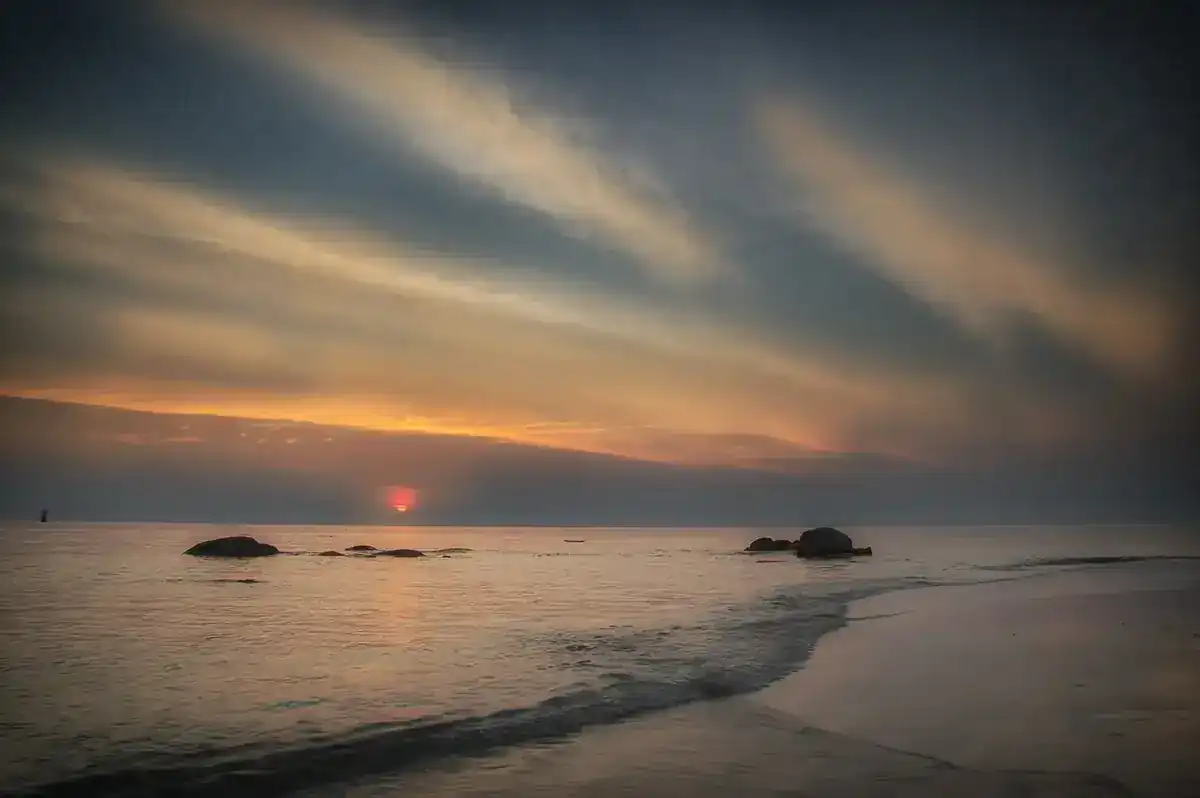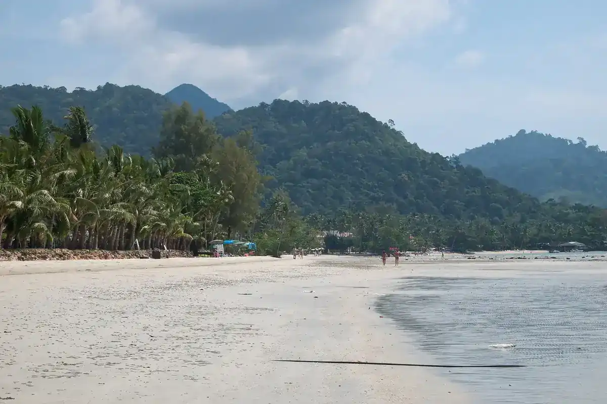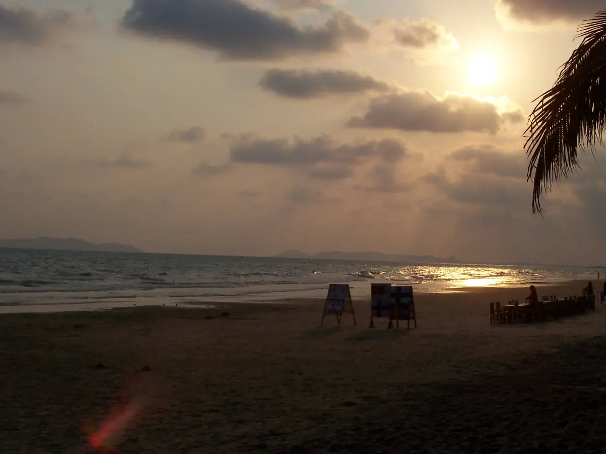
Rayong is the stretch of mainland coast on the Gulf of Thailand behind Koh Samet, and it is worth more than a stop at the pier. Wikipedia places the province in eastern Thailand, with Chonburi to the west and north, Chanthaburi to the east and the sea to the south. The mainland has long beaches east and west of the fishing port of Ban Phe, a river city with an old town and temples, a rainforest national park with a waterfall in the north, and the orchards that make Rayong a fruit province. The Thai motto quoted on Thai Wikipedia lists fruit, industry, fish sauce, Koh Samet and the poet Sunthorn Phu, which is a fair summary.
This guide uses only facts we could check on 16 October 2026 against the sources listed at the end, and it says where a source is old or uncertain. If your main goal is the island, read our Koh Samet guide for the national park fee and the boat times. For hotels on the mainland, read where to stay in Rayong or the Thai version, ที่พักระยอง.
What Rayong is like
Wikipedia says the north of the province is hilly but that most of it is low coastal plain, with a forest area of 292 square kilometres, about 8 percent of the province. Thai Wikipedia gives the Gulf of Thailand coastline as more than 100 kilometres long. Off the shoreline of Mueang Rayong district lies Khao Laem Ya-Mu Ko Samet National Park, which takes in Koh Samet and several smaller islands. The province is also one of the economic heavyweights of the east: Wikipedia says Rayong, Chonburi and Chachoengsao form the core of the Eastern Economic Corridor, and Wikivoyage notes that Map Ta Phut is the country's largest industrial estate, so the tourist coast and the industrial coast are different places.
The history is easy to see in the city. Wikipedia says that when Ayutthaya was falling to the Burmese, the future King Taksin came to Rayong to build a new navy before moving on to Chanthaburi, and that the oldest temple in Rayong, Wat Pa Pradu, is dedicated to him and is where locals worship his spirit. The name itself is explained on Wikipedia as coming from the Chong word for the Burma padauk tree, called pradu in Thai, and Thai Wikipedia lists the pradu as the provincial tree and flower.
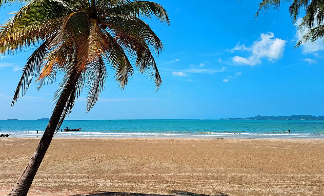
Ban Phe and the Koh Samet pier
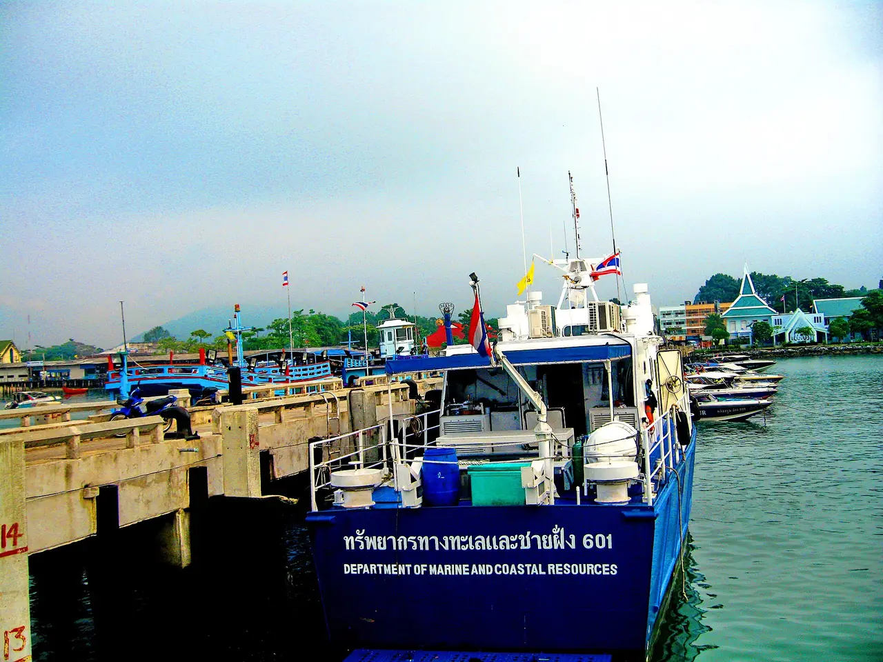
Ban Phe is the small port town where most visitors begin the crossing to Koh Samet. Wikivoyage says it sits about 25 km from Rayong city and exists as a port for the ferries and for limited fishing, and describes the town as small enough to cover on foot, with plenty of motorbike taxis. It also says that the fish market sells local seafood products such as fish sauce, sun-dried cuttlefish and dried shrimp, which makes it a good place to buy a souvenir that is actually local.
The official crossing details are in our Koh Samet guide, which quotes the Department of National Parks: three passenger piers at Ban Phe, boats seating 10 to 100 people, a crossing of about 30 minutes and service from 06:00 to 17:00. Wikivoyage gives a wider range of 20 to 45 minutes, depending on the boat and the pier. Its prices for the normal ferry, shared speedboat and private speedboat are old, so we do not repeat them. Wikivoyage also says there is secure car parking at every pier. Ask your hotel which pier suits your island resort, then read the Koh Samet where-to-stay guide if you plan to sleep over.
Close to the pier, Wikivoyage lists the Rayong Aquarium, in the Eastern Marine Fisheries Research and Development Centre about 3 km west of Ban Phe. That listing was last edited in 2015 and we could not confirm opening hours or fees, so check before you go.
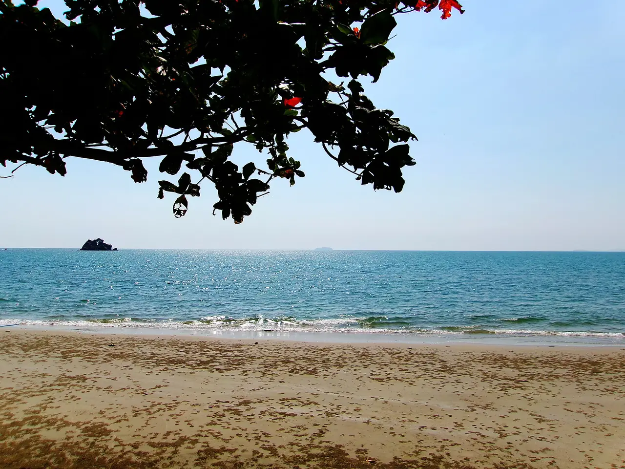
Beaches: Mae Ramphueng, Suan Son and Laem Mae Phim
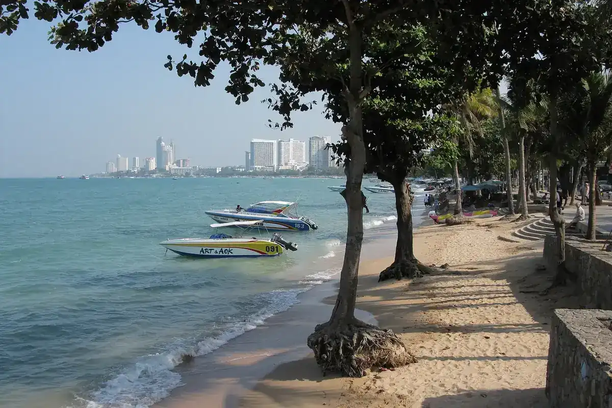
Rayong's mainland beaches run in a line along the coast road. West of Ban Phe is Mae Ramphueng: Wikipedia says the 11-kilometre Mae Ramphueng Beach was declared part of the national park in 1981, while Wikivoyage places it 5 km west of Ban Phe and describes about 7 km of very nice beach with restaurants, resorts and cheap hotels. Rayong Resort's attractions page gives a beach about 12 km long, so measurements differ by source. We could not verify the swimming conditions, and the weather matters: Wikivoyage describes monsoons from May to October.
East of Ban Phe, Wikivoyage says Suan Son National Pine Forest begins about 2 km out of town, and that the road runs along the beach with water getting nicer the further from the pier you go. Rayong Resort's page describes the same spot as a pine garden where the trees close over the road like a tunnel and as a popular picnic place. The same Wikivoyage entry says the road continues along the sea almost all the way to Laem Mae Phim, 24 km away, with several luxury resorts and condos on the way. For Laem Mae Phim itself, Wikivoyage's Rayong page describes a beach without large waves that is nice for swimming, with restaurants and bungalows, 48 km from Rayong town.
Two stays here show what the coast is like. Souan Son Beach Resort says it sits alongside Mae Ramphueng Beach and that off-season from April to October brings quieter beaches and greener scenery. Maepim Resort Hotel says it is on Mae Pim beach and half an hour from the ferry pier for Samed Island. Our stay guide has the other verified hotels.
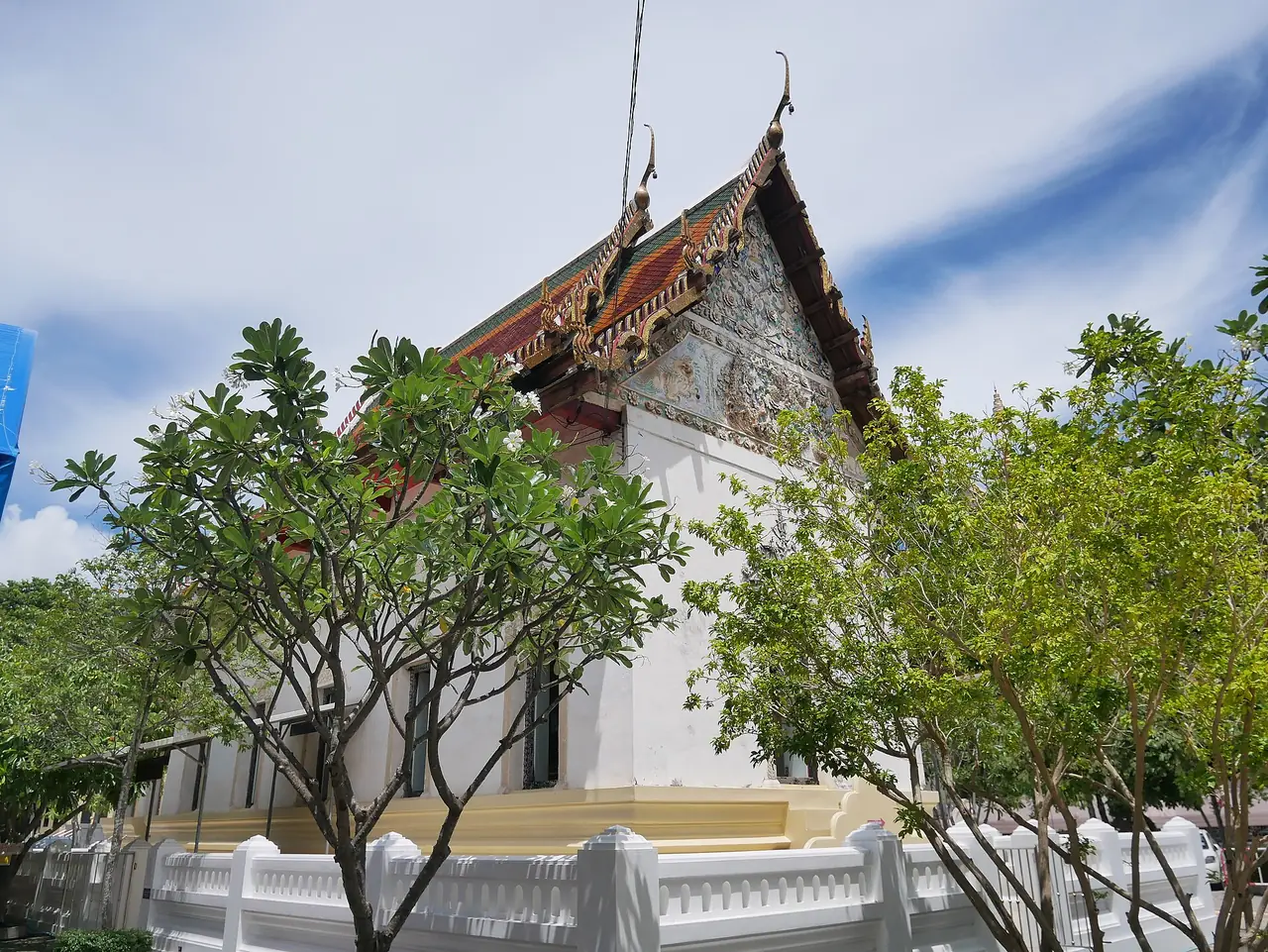
Rayong city, Wat Pa Pradu and the river
The city is a working provincial town, not a resort, but it has a few good hours. Wat Pa Pradu dates from the Ayutthaya period according to Wikivoyage, and its wihan holds a reclining Buddha 11.95 metres long and 3.6 metres high. Wikivoyage points out that the figure is unusual because it lies on its left side. Wikipedia says the temple is the oldest in Rayong and dedicated to King Taksin.
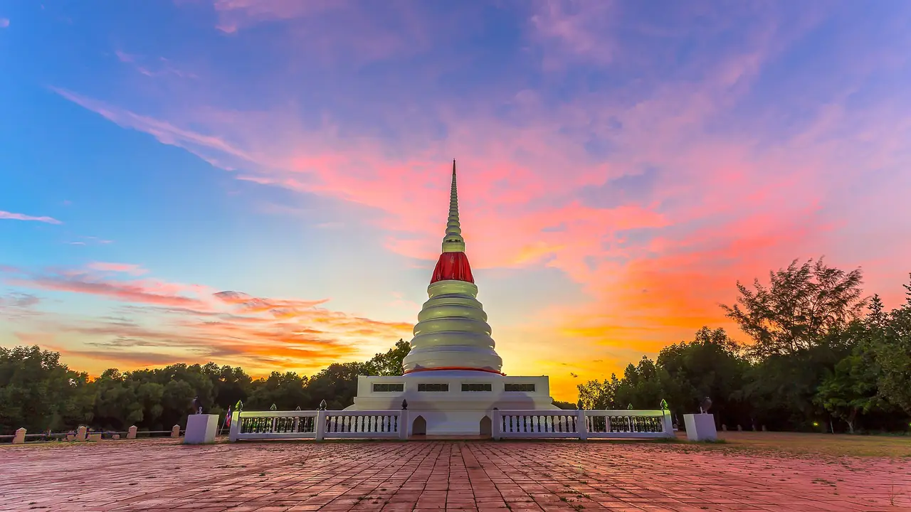
Wikivoyage also lists Phra Chedi Klang Nam, a pagoda on an island in the middle of the Rayong River, 2 km south of downtown near the river mouth. It is a landmark for crews sailing in, and on the full moon of the twelfth lunar month the robe wrapped around it is changed during a celebration that coincides with Loy Krathong. Our guide to Loy Krathong and Yi Peng 2026 explains the festival dates.
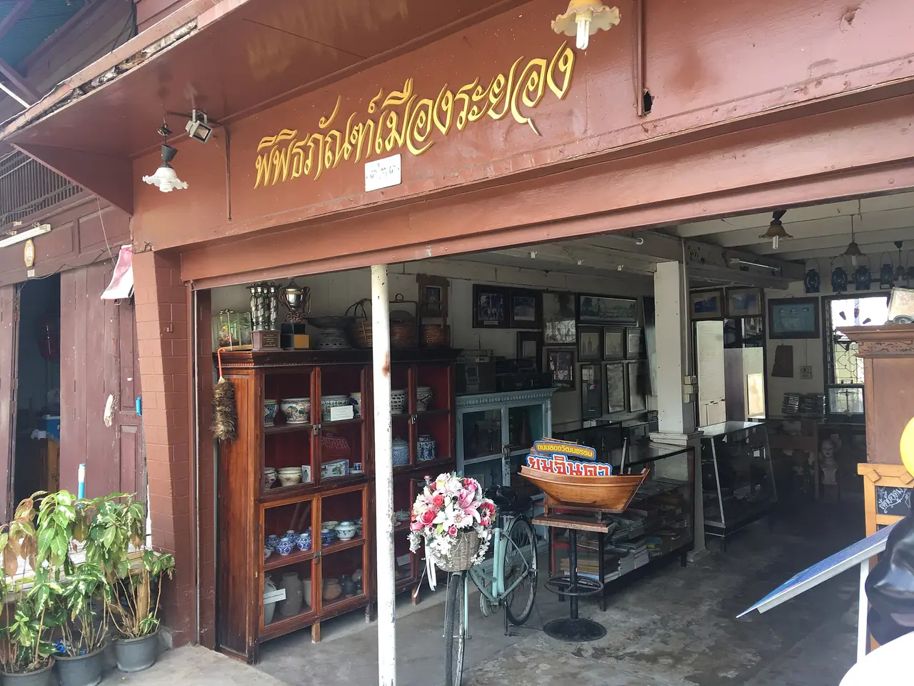
For a walk, Wikipedia says Yomjinda Road follows the Rayong River and cuts through one of the city's oldest settlements, which the community rehabilitated into a tourist destination. The Commons photo of a small museum on the street is below. Wikivoyage adds the City Pillar Shrine, a shrine to King Taksin, the Wat Ban Don museum with 100 nang yai shadow-play figures, and Si Mueang Park, but we did not check opening hours for any of them.
Khao Chamao waterfall and the national park
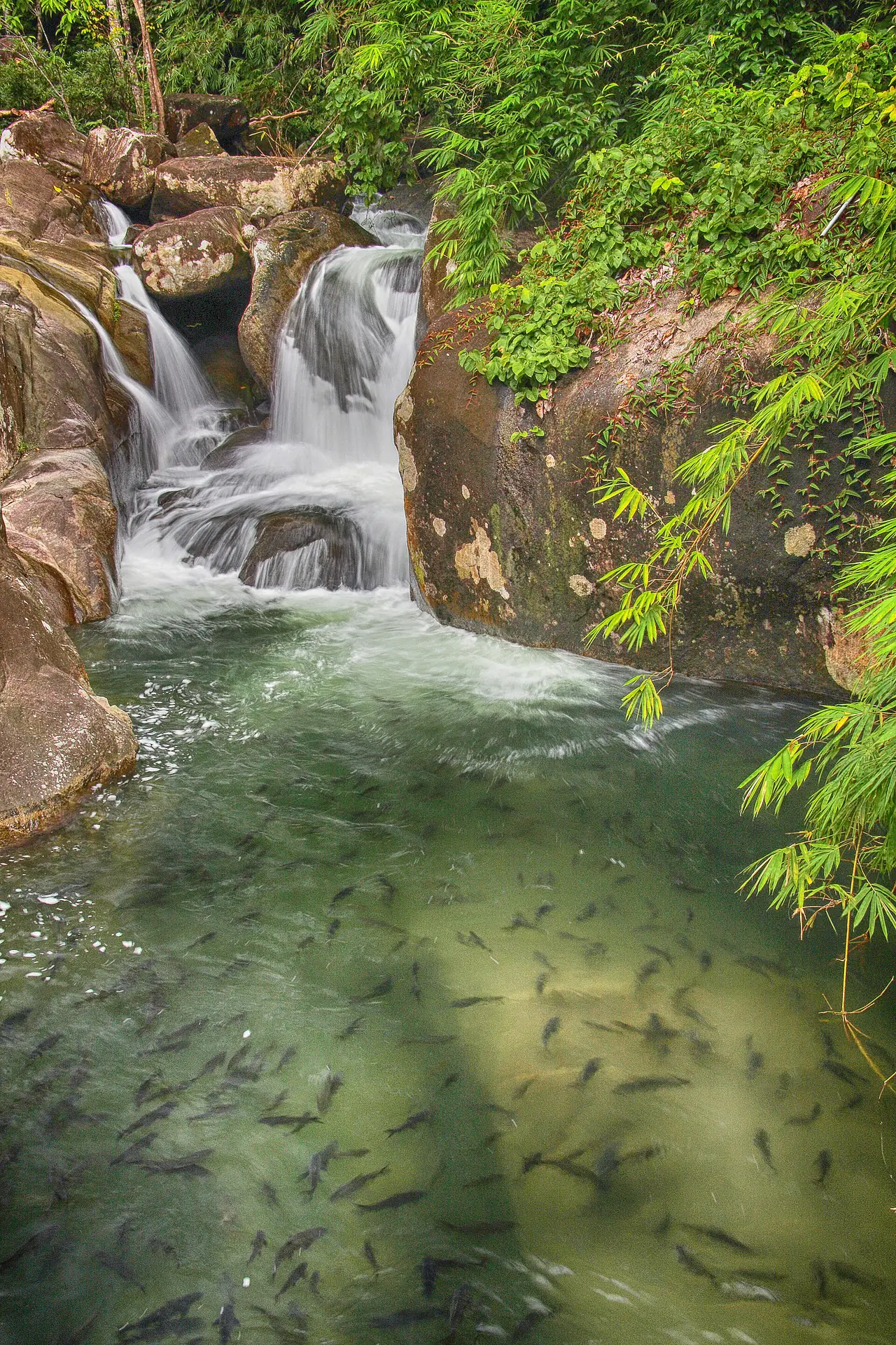
Inland and north, Khao Chamao-Khao Wong National Park is the place for green hills after a beach week. Wikipedia says it covers about 84 square kilometres of forested mountains, that the highest peak, Khao Chamao, is about 1,024 metres, and that the park shelters Asian elephant and banteng as well as smaller mammals and many birds. The waterfall is the usual target. Wikipedia describes eight tiers falling more than 3 km, with a path along it and a walk to the top that should take about two hours, while Wikivoyage says seven levels, so the two sources disagree on the count. Thai Wikipedia's district table puts Khao Chamao district 73 km from Rayong city.
We did not verify the park's entrance fee, opening hours or whether paths are open after rain on an official page. Check with the Department of National Parks before you go, and treat waterfalls in the rainy season with care.
Islands and the Klaeng coast
East of the city, the Klaeng coast is much quieter. Wikipedia says Klaeng district is a coastal district in Rayong province, halfway between Mueang Rayong and Chanthaburi, with the Prasae River as its main watercourse. Wikivoyage lists a monument to the poet Sunthorn Phu in Klaeng, with a Sunthorn Phu Day on 26 June, and Rayong Resort's page says the statue is about 5 km beyond Laem Mae Phim towards Klaeng. Sunthorn Phu matters locally because, as Wikipedia notes, he set part of his epic Phra Aphai Mani on Koh Samet's shores.
Further out, the Man islands sit in Klaeng Bay. Wikipedia names three, Ko Man Nai, Ko Man Klang and Ko Man Nok, and says Ko Man Nok is a small private island with one resort, Koh Munnork Resort, offering kayaking, snorkelling and fishing. Wikivoyage says Ko Man Nai has a turtle conservation station started by the queen to protect hawksbill and olive turtles, and Rayong Resort's page says it can be visited by day only, with overnight stays prohibited. We could not verify boat departures, fees or the dates the station is open, so ask a local operator or your hotel.
Fruit, fish sauce and what to eat
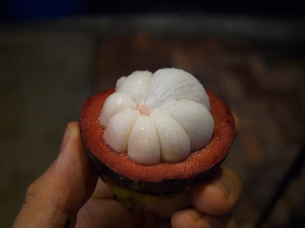
Thai Wikipedia lists rambutan, durian, mangosteen, mango and pineapple among Rayong's agricultural products, alongside fish sauce, shrimp paste and dried shrimp. English Wikipedia calls Rayong city the main producer of Thailand's fish sauce. Wikivoyage says the fruit reaches its peak season in May and describes an annual Rayong Fruit Festival at the Tapong market area in Mueang district from about May to July, lasting around a week, with a fruit parade and fruit-eating contests. It also lists Suphattra Land, an orchard that sells fruit and runs a sightseeing train, with fruit generally full-grown from late April to June. The hours and prices on that listing are not recent, so call before a special trip. If you are visiting outside the fruit months, the fish market at Ban Phe is the easier souvenir stop.
Getting to Rayong
Rayong city is about 179 km from Bangkok according to Wikivoyage, and Ban Phe is roughly 25 km further on. Wikivoyage gives three drives: Sukhumvit Road (Highway 3) via Bang Pakong, Chonburi, Pattaya and Sattahip, about 220 km; the toll Motorway 7 from Suvarnabhumi Airport to Highway 36, about 175 km; and Highway 34 (Bang Na-Trat), about 220 km. Its bus note says buses leave the Eastern Bus Terminal (Ekkamai) for Rayong, Ban Phe and other districts, and that the Rayong bus station is the usual change point; the phone numbers on that page are old. Wikivoyage's Rayong page says songthaews run from Rayong bus station to Ban Phe in about 20 minutes, but its fare is old, so ask locally.
By air, Wikivoyage says U-Tapao-Rayong-Pattaya International Airport is the closest airport with commercial flights, about 60 km from Ban Phe, with no direct commercial flights from Bangkok. By train, Wikivoyage's Ban Phe page says the nearest station is Ban Plu Ta Luang with only two trains per day in each direction, which may be out of date, so check the State Railway of Thailand and our guide to domestic flights, trains and buses in Thailand.
| From | How | What the sources say |
|---|---|---|
| Bangkok by car | Highway 3, Motorway 7 with Highway 36, or Highway 34 | Wikivoyage gives about 220, 175 and 220 km respectively; the motorway is a toll road |
| Bangkok by bus | Eastern Bus Terminal (Ekkamai) to Rayong or Ban Phe | Wikivoyage lists the routes; its phone numbers are old, so confirm with the operator |
| Bangkok to Ban Phe Pier | Phittinin Transport bus on 12Go | The 12Go page showed 3 hours 30 minutes and departures from 07:30 |
| Bangkok to Koh Samet | Bus and ferry ticket on 12Go | The 12Go page showed 4 hours to 4 hours 30 minutes to Nadan Pier |
| By air | U-Tapao airport | Wikivoyage says about 60 km from Ban Phe, with no direct commercial flights from Bangkok |
Booking the trip
When we opened the 12Go page for Bangkok to Rayong in a browser on 16 October 2026, searching for Sunday 18 October with 2 travellers, it listed 312 trips from THB 1 to THB 12,810. By type it showed 190 taxis, 98 buses from THB 200, 1 train from THB 220 and 1 van from THB 336, and several other entries. The taxi minimum of THB 1 looks like a placeholder to us rather than a real fare, so ignore it. Near the top, the page recommended a Phittinin Transport bus from Ekkamai to Ban Phe Pier, listed from THB 296 with 3 hours 30 minutes and the first departure at 07:30, and bus-and-ferry tickets from Ekkamai to Nadan Pier on Koh Samet, from THB 406 and THB 431, with 4 hours to 4 hours 30 minutes and the first departure at 07:30. Those figures are what the page showed on that search, not a promise for your date. We link it as a convenient place to compare, and some links on this site may earn us a commission; this does not change the times or fares you see.
When to go
We could not verify a single best season. Wikivoyage describes a tropical savannah climate with monsoons from May to October, and the Department of National Parks, as quoted in our Koh Samet guide, describes rough seas for the island from May to September. Souan Son Beach says April to October is quieter and greener. Fruit lovers should aim for May, when Wikivoyage says the fruit peaks. The Phra Chedi Klang Nam robe ceremony falls on the full moon night of the twelfth lunar month, in November. For the weather on your dates, check the Thai Meteorological Department, and read our guide to Thailand's best time by region.
Where to stay
The stay guide compares four areas, with every hotel fact checked on the hotel's own website:
- Ban Phe and Mae Ramphueng: Rayong Resort and Souan Son Beach Resort, close to the Koh Samet boats.
- Chak Phong beach, Klaeng: Novotel Rayong Rim Pae Resort and Rayong Chalet, larger beach stays with pools.
- Laem Mae Phim: Mercure Rayong Lomtalay, Maepim Resort Hotel and Bari Lamai Resort on the quieter beach road.
- Rayong city: two HOP INN hotels for a cheap stop or an early start.
Open where to stay in Rayong for the area table and the 9 hotel cards.
Nearby destinations
- Koh Samet: the national park island, reached by boat from Ban Phe
- Pattaya: the resort city on the way from Bangkok, in Chonburi
- Chanthaburi: the next province east, known for gems and fruit
- Trat: the gateway to the islands near the Cambodian border
- Koh Chang: the large island reached from Trat
- Bangkok: the starting point for most trips
- Thailand overview
- Getting around Thailand
- Sa Kaeo: Aranyaprathet, Pang Sida and border-travel advice to check
FAQ
How far is Rayong from Bangkok?
Wikivoyage puts Rayong city about 179 km from Bangkok, with drives of about 175 to 220 km depending on the route. Hotel pages we read say about 2 to 2.5 hours by car, and 12Go listed bus times to Ban Phe Pier of about 3 hours 30 minutes. Traffic changes all of these, so allow extra time.
Where do I catch the boat to Koh Samet?
At Ban Phe, about 25 km from Rayong city. The Department of National Parks, quoted in our Koh Samet guide, says there are three passenger piers at Ban Phe, with service from 06:00 to 17:00 and a crossing of about 30 minutes. Check the operator for the current timetable.
Can I stay on the mainland instead of on the island?
Yes. Rayong Resort says it arranges a transfer to Ban Phe fishing village, and Maepim Resort says the ferry pier is a half-hour drive. Our stay guide compares four mainland areas and 9 hotels checked on their own websites.
What is there to do in Rayong besides the beach?
The sources we read mention Wat Pa Pradu with its reclining Buddha, Phra Chedi Klang Nam, the Yomjinda Road old town, Khao Chamao waterfall in the national park, the turtle station on Ko Man Nai, the Rayong Aquarium and fruit orchards in season.
When is the fruit season in Rayong?
Wikivoyage says the fruit reaches its peak in May and describes the Rayong Fruit Festival from about May to July, with Suphattra Land's fruit generally full-grown from late April to June. These are Wikivoyage listings that may be out of date, so check the festival dates before travelling.
Which beach near Ban Phe should I choose?
Mae Ramphueng is west of the pier and Suan Son is about 2 km to the east, according to Wikivoyage, which says the water gets nicer the further east you go. Laem Mae Phim, 48 km from Rayong town on Wikivoyage's measure, has a calmer, quieter feel. We could not verify swimming conditions, which change by season.
Is Khao Chamao worth the trip?
Wikipedia says the waterfall has eight tiers and about a two-hour walk to the top, and that the park is home to elephants, banteng and many birds. It is 73 km from Rayong city according to Thai Wikipedia, so it suits a day with a car rather than a quick stop. We could not verify the entrance fee or hours, so check with the Department of National Parks.
Is Rayong a good base for Koh Samet and Koh Chang?
For Koh Samet, yes: the pier is at Ban Phe. Wikivoyage's Ban Phe page adds that shared minibuses run from Ban Phe to the Laem Ngop piers for Koh Chang, though it does not give times or fares, so ask locally. See our Koh Chang guide for that island.
Official sources and further reading
- Rayong province (Wikipedia)
- Rayong city (Wikipedia)
- Rayong (Wikivoyage)
- Ban Phe (Wikivoyage)
- Khao Laem Ya-Mu Ko Samet National Park (Wikipedia)
- Khao Chamao-Khao Wong National Park (Wikipedia)
- Klaeng district (Wikipedia)
- Ko Man Nok (Wikipedia)
- Ko Samet (Wikipedia)
- Rayong province (Thai Wikipedia)
- Rayong Resort: attractions
- Souan Son Beach Resort
- HOP INN Rayong
- 12Go: Bangkok to Rayong
- Thai Meteorological Department
Prices, schedules and entry rules change. Figures here are approximate as of 2026; always confirm on the official or operator page before you book. Spotted something out of date? Tell us.