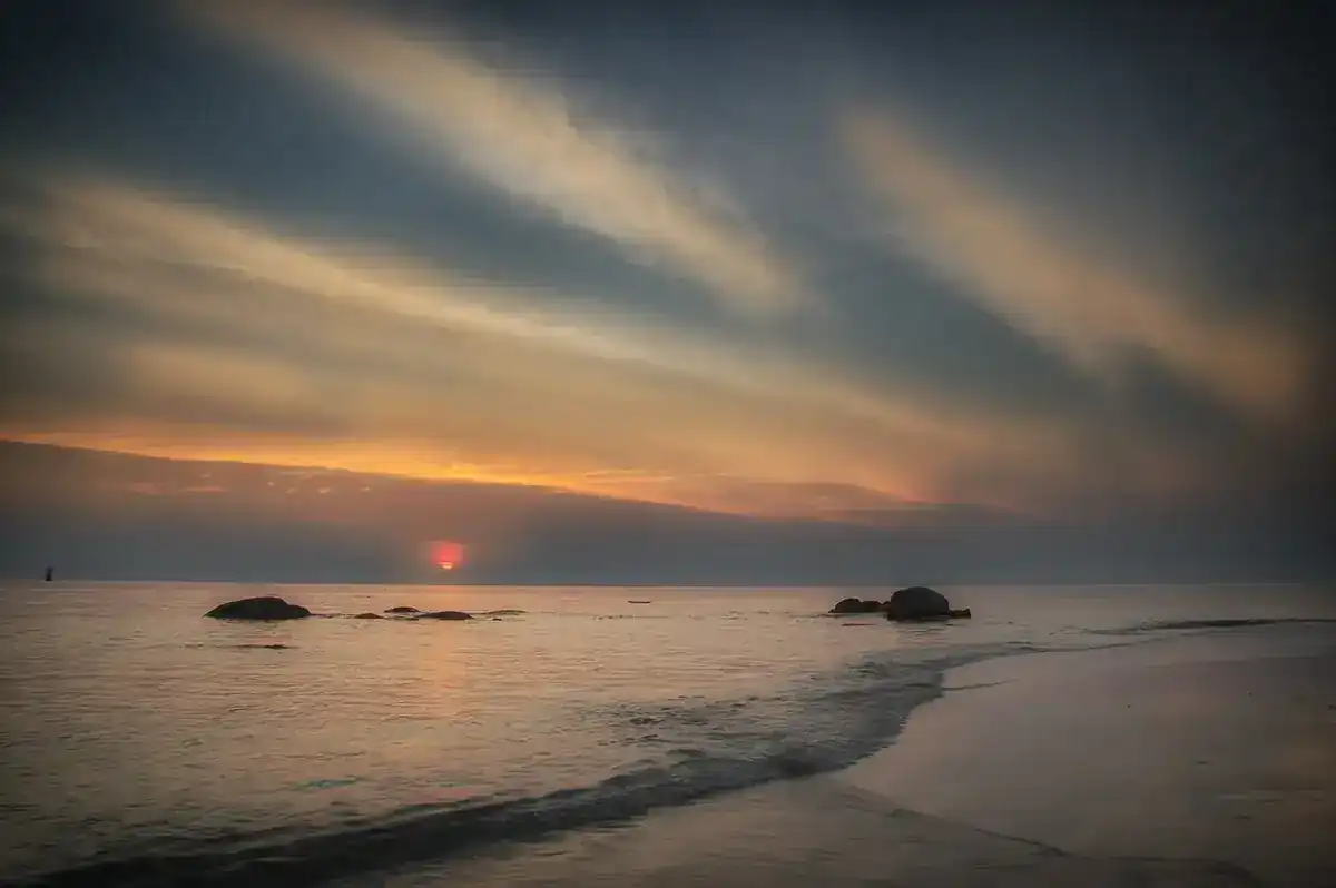
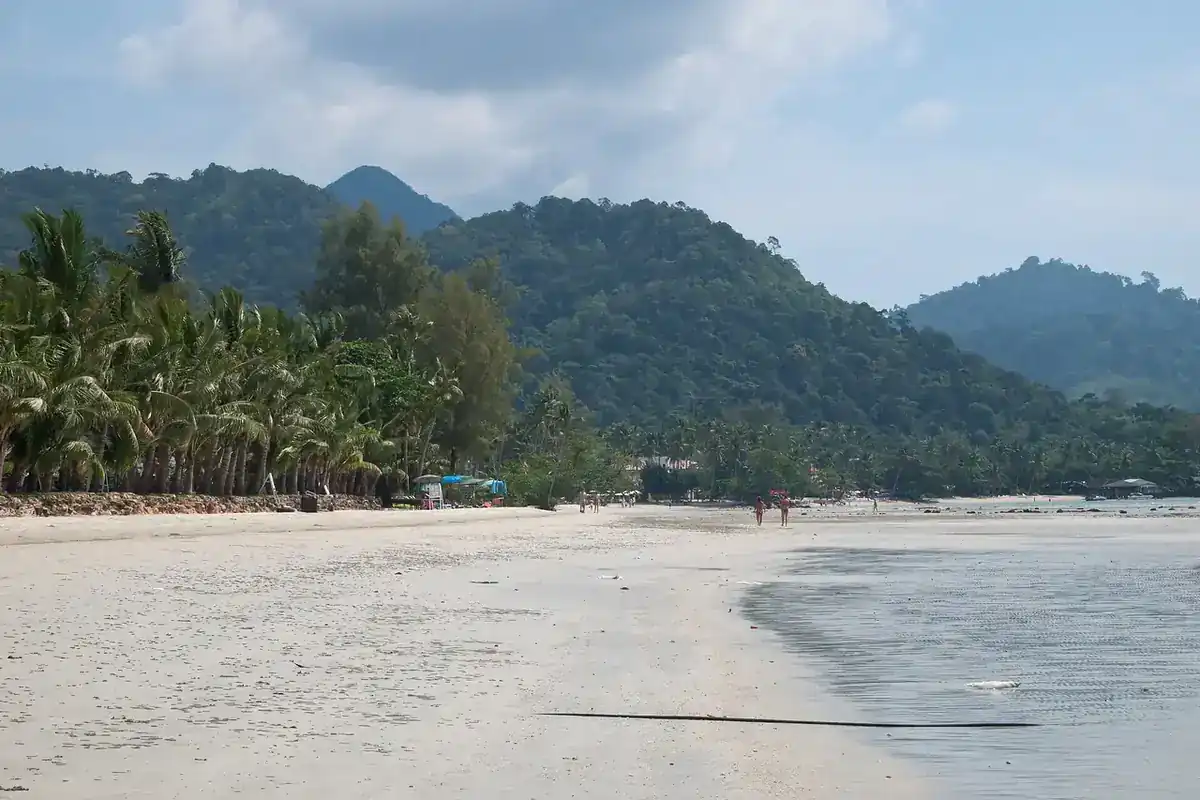
Chachoengsao, nicknamed Paet Riu, is a river province in eastern Thailand, about 70 km from Bangkok by the distance to its railway station. Most visitors come for a day to pay respects at Wat Sothon, but the province holds more than one famous temple: a century-old riverside market, a floating market that opens only at weekends, a temple on walkways in the mangroves, an old city wall and a pink Ganesha statue 16 metres tall. They all sit along the Bang Pakong river, which runs through the middle of the province.
This guide uses the sources listed at the bottom of the page, checked on 16 October 2026. We kept to places that the Tourism Authority of Thailand (TAT) or Wikipedia describe, and where sources disagree we say so. If you want to stay overnight, read where to stay in Chachoengsao or the Thai version.
What kind of province is Chachoengsao
Wikipedia gives the province an area of 5,169 square kilometres, a population of 733,131 in 2024 and 11 districts. The western part is a low plain of the Bang Pakong river, used heavily for rice, and the east is hillier. There is also a short coastline on the Gulf of Thailand. Wikipedia says the name Chachoengsao is a Chong word meaning deep canal, while Wikivoyage calls it a Khmer word with the same meaning. The nickname Paet Riu, "eight stripes", comes from a story that the area once teemed with giant snakehead fish, and up to eight cuts were needed to dry one in the sun.
This suits a slow trip of temples, riverside food, boat rides and old market streets, best over a weekend. If you want beaches and nightlife, look at Pattaya to the south, and for hills and waterfalls see Nakhon Nayok to the north.
Getting to Chachoengsao
You can reach Chachoengsao by road or by rail. Wikivoyage lists three driving routes from Bangkok: Highway 304 through Min Buri for about 75 km, Highway 34 (Bang Na-Trat) and then Highway 314 for about 90 km, and Highway 3 through Samut Prakan and Bang Pakong and then Highway 314 for about 100 km.
| From | By | What the source says |
|---|---|---|
| Bangkok by car | Highway 304 | Wikivoyage gives about 75 km, with 90 and 100 km on the other two routes |
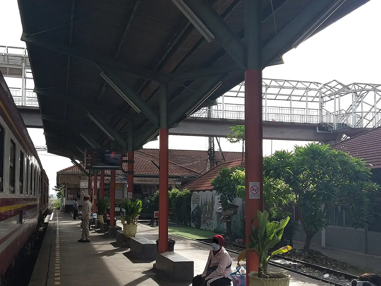
| Bangkok by train | SRT Eastern Line | Wikipedia says Chachoengsao Junction is a class 1 station 70 km from Bangkok. Check the current timetable with SRT or call 1690 |
| Bangkok by bus | From Mo Chit and Ekamai | Wikivoyage lists air-conditioned buses from both terminals and a first-class service to Suvarnabhumi Airport. This may be dated, so check with the operator |
| Around the city | Songthaew or tuk-tuk | Wikivoyage says songthaew lines are colour-coded, but its fares are from 2007, so we do not use them |
Booking your transport on 12Go
When we opened the Bangkok to Chachoengsao page on 12Go in a real browser on 16 October 2026, it showed 8 trips, all taxis or private transfers. The operators we saw were Kim Transfers and Than Car Service, and the page showed fares from THB 1,998 to THB 4,387 on that day. No train or bus appeared in those results. That does not mean there is no train, because Chachoengsao Junction is a real station on the Eastern Line, so check the schedule with the State Railway of Thailand. Some links on this page may earn us a commission, which does not change the price you see. Fares change with the date and number of travellers, so treat those figures as an observation and not a quote.
The bus and train details on Wikivoyage are dated. Check the current timetable with the State Railway of Thailand (call 1690) or the bus operator before you plan. We have not confirmed current running times.
Temples and sacred sites
Wat Sothonwararam Worawihan
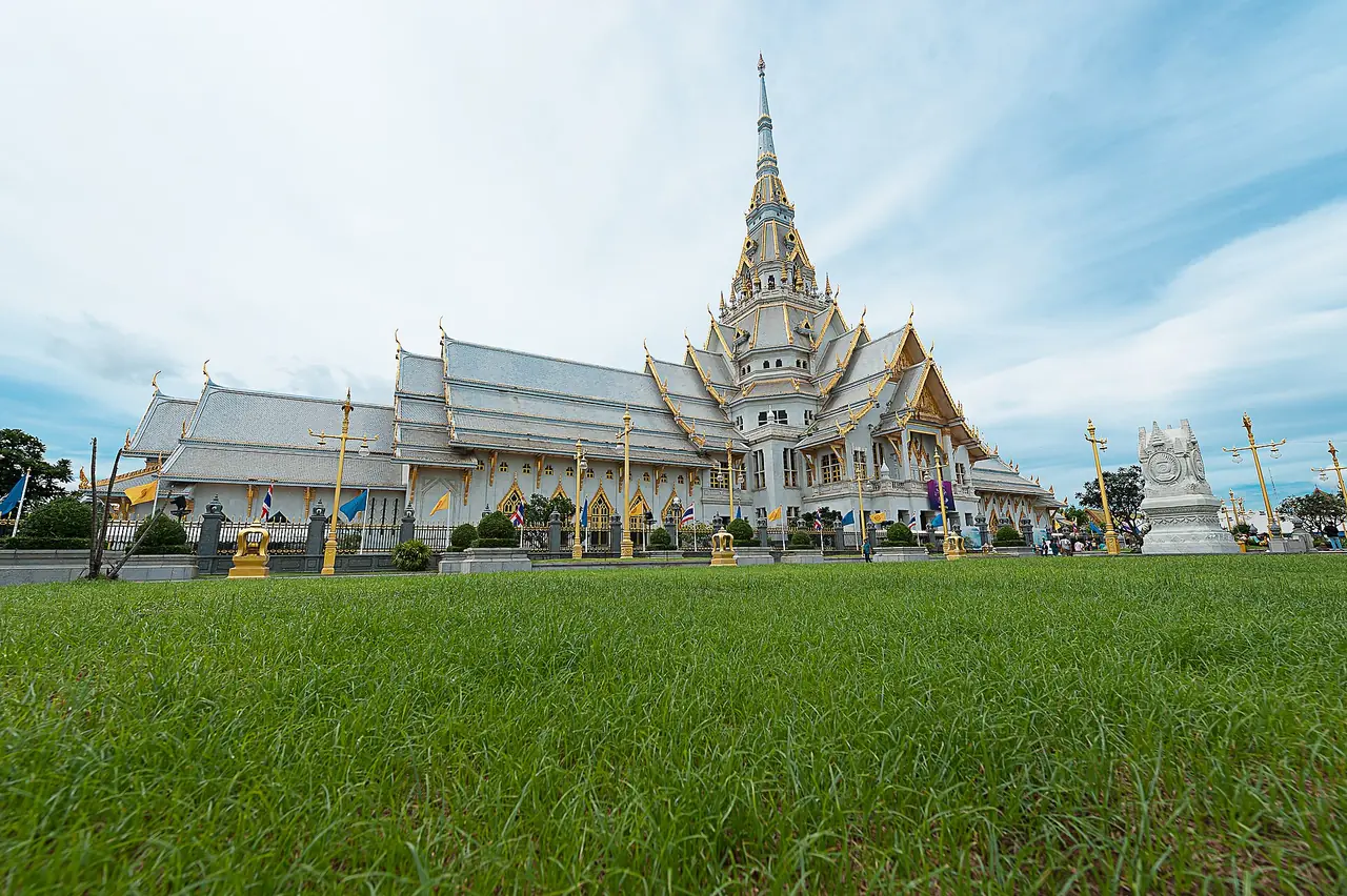
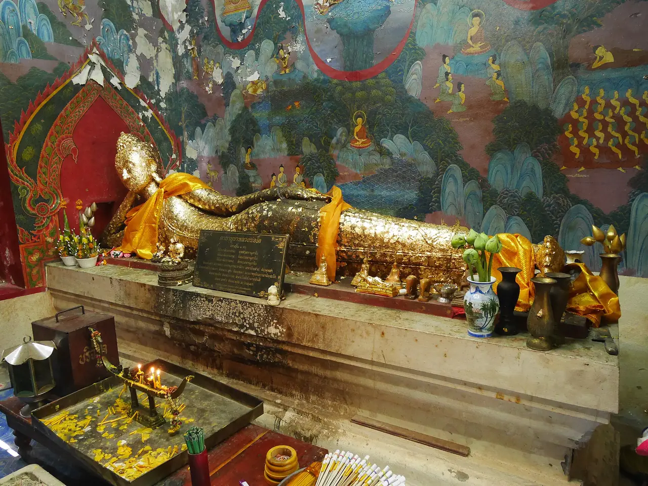
TAT says the temple stands in the municipal area beside the Bang Pakong river and was built in the late Ayutthaya period under its original name, Wat Hong. It houses Phra Phutthasothon, better known as Luang Pho Sothon, a Buddha image in the meditation posture that is 1.65 metres wide and 1.48 metres high. According to the legend, the image floated along the river before it was placed in the temple. The original was beautiful, but cement was layered over it to deter thieves, and worshippers now press gold leaf onto the image. TAT lists opening hours of 7:00 to 16:15 on weekdays and 7:00 to 17:00 on weekends, and says there are stalls selling food and souvenirs and long-tail boats to the city market. A TAT article names boiled eggs and traditional dance as the favoured offerings from people whose wishes were granted.
Wikivoyage says chartered buses bring visitors at weekends and the market opposite the temple fills up in the early morning, so a weekday visit may be calmer.
Wat Saman Rattanaram
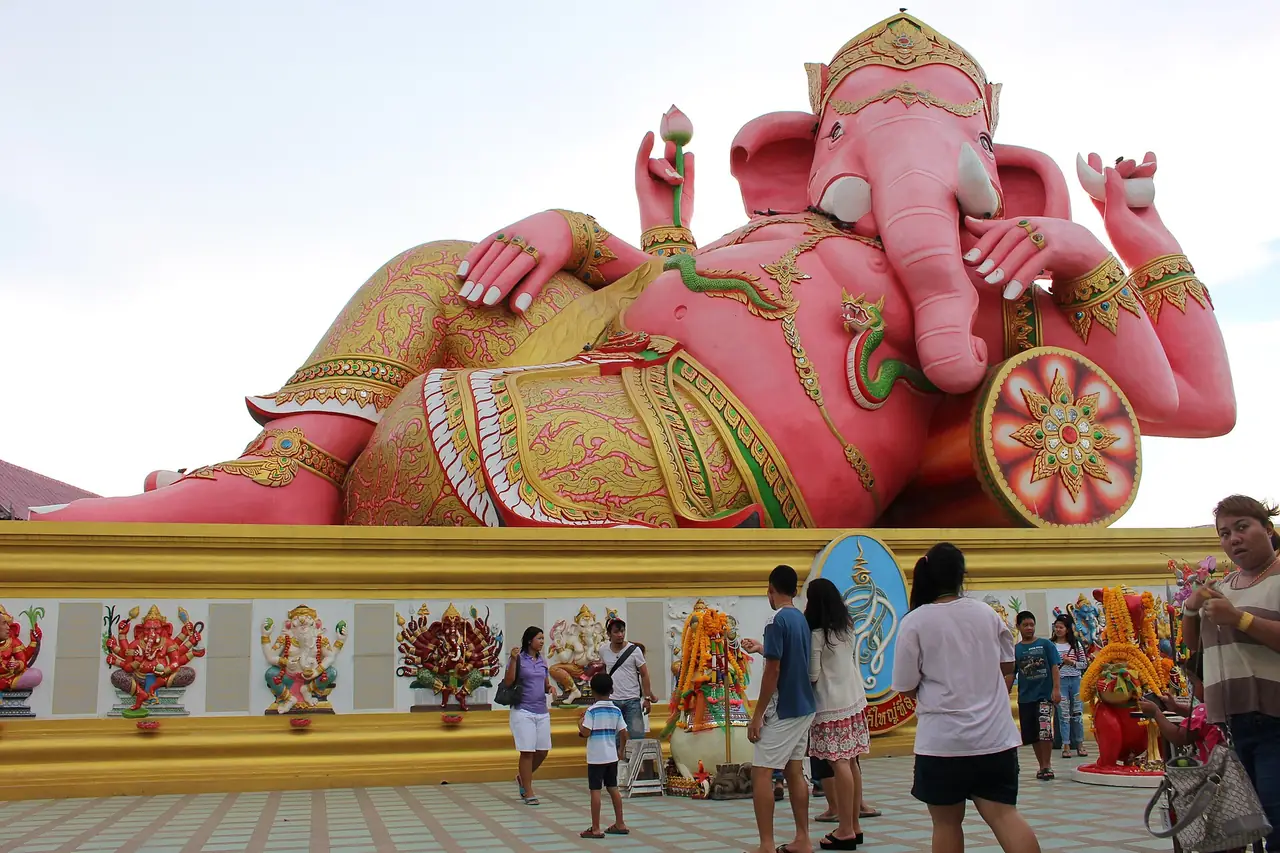
TAT says the temple is famous for a bright pink Ganesha 16 metres tall and 24 metres long, holding a broken tusk in one hand and a lotus in the other. A second TAT article adds statues from other beliefs, including Guanyin, the Erawan elephant, Rahu and Brahma. Wikivoyage mentions places to make merit and a few coffee shops and restaurants around the temple.
Wat Hong Thong (Wat Klang Na) in the mangroves
TAT says the temple stands in a mangrove area in Bang Pakong District, with walkways linking the shore to a five-level stupa and the ordination hall, both built over the sea. The stupa has paintings about Buddhism and Thai kings, and a golden stupa with relics at the top, from which you can look out over the sea and the shore. Along the main walkway there are moral sayings on signs and sculptures of literary characters, Phra Aphai Mani and the sea ogress Nang Phi Sua Samut. A replica of the Luang Pho Sothon image is on the first level, and the temple holds a coin almsgiving ceremony with a coin exchange booth.
Wat Chomphothayaram
TAT says the temple is in Sothon subdistrict, was founded in 1980 on land over 19,200 square metres donated by a couple, and was completed in 2001. It is known for replicas of four sites linked with the Buddha: the birthplace park at Lumbini in Nepal, the enlightenment stupa at Bodh Gaya, the stupa of the first sermon at Sarnath and a Parinirvana temple.
Wat Chaeng in Bang Khla
TAT says Wat Chaeng is in the Bang Khla market area. Its origin is unknown, but the name is believed to come from King Rama I arriving at dawn on his return from the Cambodian war. The ordination hall is in Chino-Thai style, with giant sculptures in the grounds.
Wat Paknam Jolo
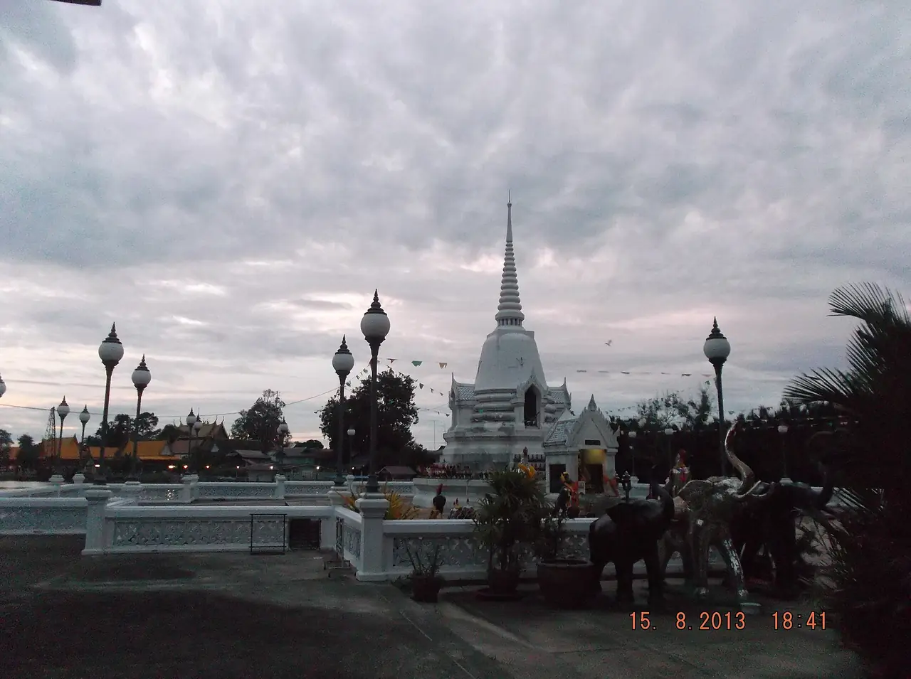
A TAT article says the temple sits on the bank of the Bang Pakong river where Burmese troops fought and were defeated by King Taksin's troops. The ordination hall is gold inside and out, and worshippers walk under the principal Buddha image from left to right. TAT also describes a boat trip from the Bang Khla market that stops at Wat Pho Bang Khla and the pagoda of King Taksin the Great.
Old markets and the floating market
Baan Mai Riverside Market
TAT says Baan Mai has been a local market of Chachoengsao since the reign of King Rama V and has run for over 100 years. Boats were once the main transport, so the community and market grew along the river. Roads made the market quiet, but some buildings still have residents who keep the Thai-Chinese character, and a conservation association helped bring the market back as nostalgia and tourism grew.
Khlong Suan 100-year market
TAT's Thai page says the market straddles two provinces: Khlong Suan in Bang Bo District, Samut Prakan, and Thep Rat in Ban Pho District, Chachoengsao. It is an old land market in long rows of shophouses along the Khlong Prawet Burirom canal, busiest from early morning to mid-morning. A wooden bridge crosses to the Chachoengsao side, which earns it the nickname market of two provinces. TAT lists it as open daily from 08:00 to 17:00, so check before you go because markets like this are often quieter by afternoon.
Bang Khla Floating Market
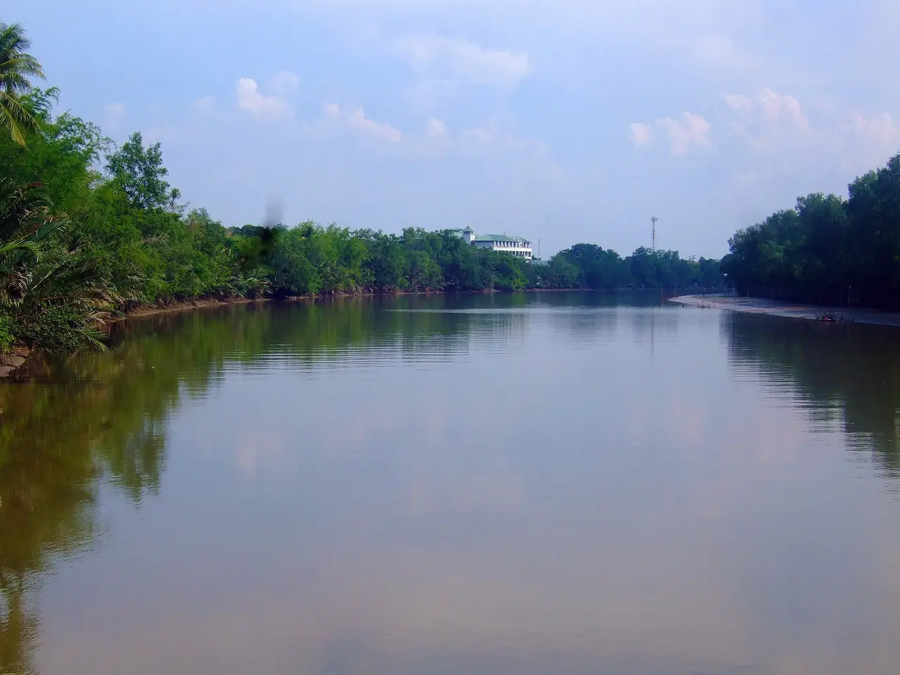
TAT says the market has shops on the bank and roofed rafts on the Bang Pakong river and opens only on Saturday and Sunday. It sells local food and snacks, and it is part of a provincial effort to support the local economy and train residents in massage, cooking, baking and souvenir making. TAT also lists a boat trip around Ko Lat that takes about 2 hours, at a charter fee of 300 baht for 10 people, or 60 baht for an adult and 30 baht for a child. TAT does not date that page, so ask at the market for the current fares.
City wall, shrine and park
Chachoengsao City Fort Wall
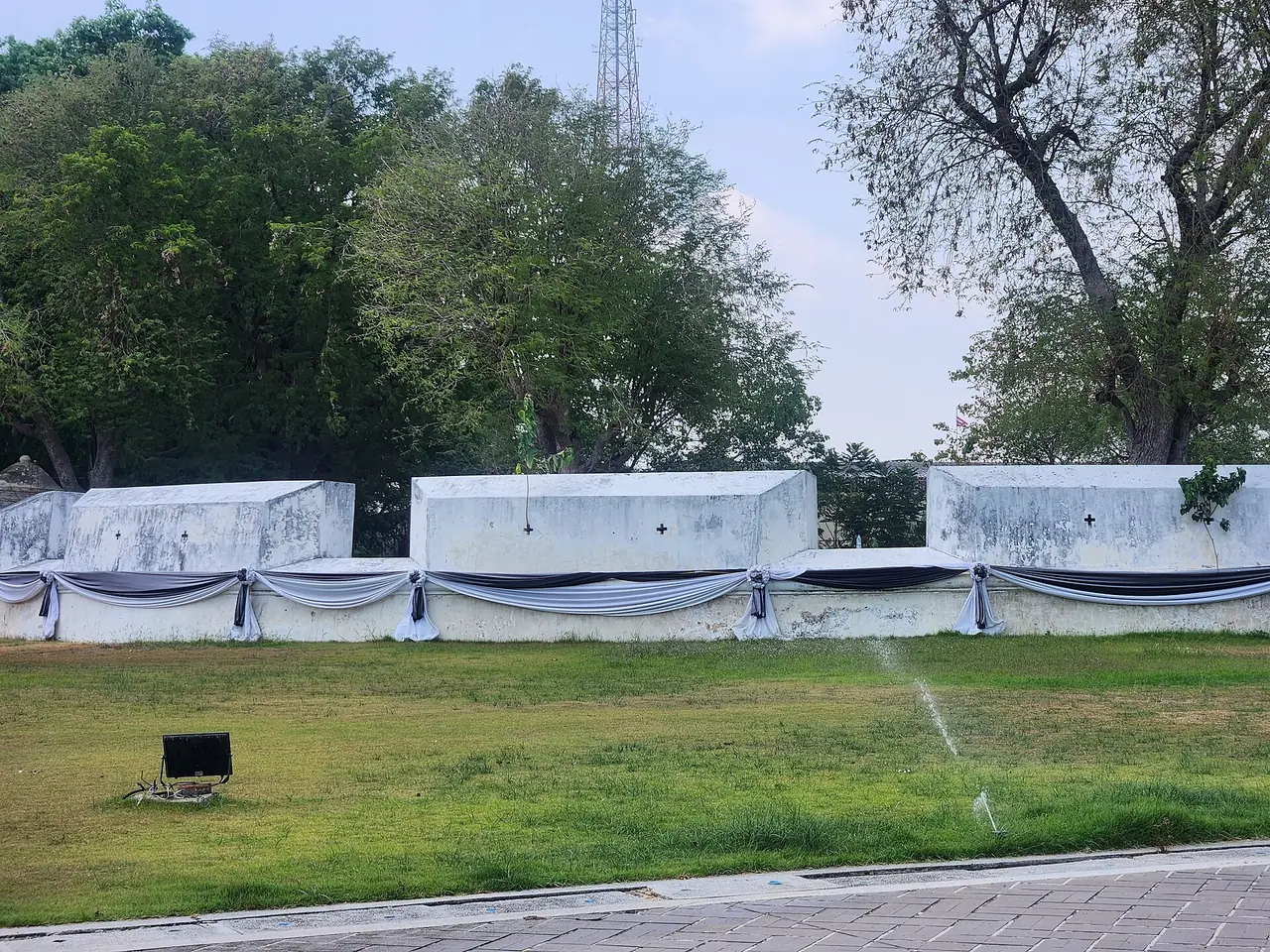
TAT says the wall stands on Maruphong Road, built to protect the city from invasion. It is brick and cement, about 200 metres long and 3 metres high, with a ditch behind it and five cannons along the wall. The army later used it as the base for suppressing the Ang Yi rebellion of illegal Chinese opium dealers. The Fine Arts Department registered it as a national ancient monument on 5 January 1954. In front of the wall is a public park with a view of the Bang Pakong river.
Sources disagree about its date. The TAT fort wall page says 1794 in the reign of King Rama III, but Rama III's reign began in 1824, and the TAT city shrine page places the wall in the period 1833 to 1847. We cannot confirm the year, so read it as a wall from the Third Reign as TAT states.
City Shrine
TAT says the shrine was first built in 1834 together with the fortress wall, and is believed to house the spirits that guard the town. It was damaged in the reign of King Rama V and restored by the city ruler and his brother. Wikivoyage describes a Thai-style building with a four-porched roof and prang finial, holding two city pillars, one from 1834 and one from 1895.
Suan Somdet Phra Srinagarindra Park
TAT says the 90-rai park sits in front of the provincial hall, with a large lake in the middle and a shady walking track around it. A Thai house in the park was the residence of Princess Galyani Vadhana when she opened the park on 30 March 1986. Across the road are a football pitch and Kasem Garden, with a playground.
Nature: Khao Ang Rue Nai
Wikipedia says Khao Ang Rue Nai Wildlife Sanctuary is in Tha Takiap District, at the western end of the Cardamom Mountains. It was founded in 1977 and covers 674,352 rai, about 1,078 square kilometres, and connects with Khao Sip Ha Chan National Park. Wikipedia says it is the province's only wildlife sanctuary. We have not checked fees or opening hours on an official park page, so ask before you go.
A one-day or two-day plan
TAT's "Bangkok - Chachoengsao 2 Days" plan puts Bangkok on day one and Chachoengsao on day two, listing Baan Mai Riverside Market, Nakhon Nuang Khet Ancient Market, Wat Sothonwararam Worawihan, Wat Phrathat Wayo (Wat Huai Nam Sap) and Suan Palm Farm Nok. We have not checked the last two, so we do not describe them.
For a single day we would follow the river. Start at Baan Mai in the early morning, reach Wat Sothon before the crowds, treat the city wall and shrine as short stops, and go to Wat Saman Rattanaram in the afternoon for the Ganesha. On a weekend, add the Bang Khla floating market and the boat trip around Ko Lat.
Seasons
We found no official source that recommends a season for Chachoengsao, and we do not invent temperature or rainfall figures. Wikipedia says the western part of the province is a low river plain, so check the Thai Meteorological Department forecast for your dates and bring sun protection, because most temples and markets are outdoors. For the wider picture, see Thailand's best time by region.
Where to stay
We checked 9 hotels against their own websites and grouped them by area.
- City and Wat Sothon: BB House, BB Glass House, BaanBow Resort and Suan Rim Nam Bang Pakong Resort
- Bang Pakong: Rimbay Mangrove Resort, beside the mangroves
- Bang Khla: Tala Bangkla Resort and Casa Bangkhla, on the river
- Bang Nam Priao: Grand Sappaya Hotel, inside a golf course
Open where to stay in Chachoengsao for the area table and every hotel card.
Nearby destinations
- Bangkok: the usual starting point, with day trips from Bangkok
- Pattaya: the beach city to the south, with Bangkok to Pattaya
- Nakhon Nayok: waterfalls and hills to the north
- Prachinburi: the next province north-east
- Chanthaburi: further east along the coast
- Getting around Thailand
- Samut Prakan: Ancient City, Erawan Museum and Bang Krachao
Frequently asked questions
How do I get to Chachoengsao from Bangkok?
By car, Wikivoyage gives about 75 km on Highway 304 through Min Buri. By train, Chachoengsao Junction is 70 km from Bangkok on the SRT Eastern Line, according to Wikipedia, so check the timetable with SRT on 1690. The 12Go page we opened showed taxis and private transfers only.
What are the opening hours of Wat Sothon?
TAT lists 7:00 to 16:15 on weekdays and 7:00 to 17:00 on weekends. Hours can change, so check before you go, especially on public holidays.
When is the Bang Khla floating market open?
TAT says it opens only on Saturday and Sunday, so a weekday visit may find no stalls.
Where is the giant pink Ganesha?
At Wat Saman Rattanaram in Mueang Chachoengsao District. TAT says the statue is 16 metres tall and 24 metres long.
Is there a temple in the mangroves?
Yes. Wat Hong Thong (Wat Klang Na) in Bang Pakong District has walkways from the shore to a stupa and an ordination hall standing in the sea, according to TAT.
How old is Baan Mai market?
TAT says it has been a local market since the reign of King Rama V and has run for over 100 years.
Is Chachoengsao worth an overnight stay?
It can be, if you want the weekend floating market or an early start at the temples. We checked 9 hotels on where to stay in Chachoengsao. A day trip also works because the province is only about 70 km from Bangkok.
Official sources and further reading
- Chachoengsao province (Wikipedia)
- Chachoengsao Junction railway station (Wikipedia)
- Chachoengsao (Wikivoyage)
- Wat Sothonwararam Worawihan (TAT)
- Wat Saman Ratanaram (TAT)
- Baan Mai Riverside Market (TAT)
- Khlong Suan 100-year market (TAT, Thai)
- Bang Khla Floating Market (TAT)
- Chachoengsao City Fort Wall (TAT)
- Chachoengsao City Shrine (TAT)
- Suan Somdet Phra Srinagarindra Park (TAT)
- Wat Hong Thong (Wat Klang Na) (TAT)
- Wat Chomphothayaram (TAT)
- Wat Chaeng, Bang Khla (TAT)
- Finding Rest and Blessings in Chonburi and Chachoengsao (TAT)
- Bangkok - Chachoengsao 2 Days (TAT trip planner)
- Khao Ang Rue Nai Wildlife Sanctuary (Wikipedia)
- 12Go Bangkok to Chachoengsao
- State Railway of Thailand
Prices, schedules and entry rules change. Figures here are approximate as of 2026; always confirm on the official or operator page before you book. Spotted something out of date? Tell us.