Prachinburi is the province most people drive through on the way to Khao Yai or the Cambodian border, yet it has more to see than that suggests: a very old bodhi tree, the largest and oldest carved Buddha's footprints in Thailand, a Dvaravati-period ancient town, rapids you can raft in the rainy season, a large forest park that is part of a World Heritage Site, and waterfalls in Prachantakham. This guide uses only facts we could check on 16 October 2026 on Wikipedia, Wikivoyage, the Tourism Authority of Thailand (TAT) and hotels' own websites, and it says where sources disagree.
If you only want a bed, go straight to where to stay in Prachinburi, or the Thai version, ที่พักปราจีนบุรี.
What kind of province is Prachinburi?
Wikipedia places Prachinburi in eastern Thailand, bordering Nakhon Ratchasima, Sa Kaeo, Chachoengsao and Nakhon Nayok. It is split between the low valley of the Bang Pakong River and the higher ground of the Sankamphaeng Range, the southern prolongation of the Dong Phaya Yen mountains, and more than a quarter of it is forest. Wikipedia adds that it holds the ancient town of Si Mahosot, where a Dvaravati settlement was later overlaid with Khmer building.
TAT describes Prachin Buri as a primarily agricultural province that has been occupied for roughly 800 years, with many Dvaravati and Khmer ruins, and says it contains Khao Yai, Thap Lan and Pang Sida National Parks, which together cover over 3,000 square kilometres. TAT also says the province is not overrun with tourists, so the waterfalls and rapids are quiet or exciting depending on the season. One caution: Wikipedia places Pang Sida National Park in Sa Kaeo province, not Prachinburi, so we do not list it as a sight here, and you should check with the park before planning around it.
The forest itself is the Dong Phayayen-Khao Yai Forest Complex, which Wikipedia says covers Khao Yai, Thap Lan, Pang Sida and Ta Phraya National Parks and Dong Yai Wildlife Sanctuary, and was inscribed as a UNESCO World Heritage Site in 2005. Wikipedia places Thap Lan's headquarters in Bu Phram, Na Di, Prachinburi, so Thap Lan is a Prachinburi sight in a direct sense.
Getting to Prachinburi
Sources put the province about 130 to 140 km from Bangkok. Wikivoyage describes several driving routes, for example via Highways 305 and 33 through Nakhon Nayok and then Highway 319, about 132 km in total, or via Chachoengsao and Phanom Sarakham on Highway 304 and then 319, about 158 km. Two hotels give the same distance: Tawa Ravadee says about 140 km and 1 hour 30 minutes by car, and Siamdasada says just over a two-hour drive. Real time depends on traffic.
| From | How | What the sources say |
|---|---|---|
| Bangkok | Car | Wikivoyage gives roughly 132 to 164 km depending on the route; hotels say about 140 km and 1.5 to just over 2 hours |
| Bangkok | Transport Company bus from Mo Chit 2 | Wikivoyage says buses run many times a day and take about 2 hours; it also gives older fares that we did not re-check |
| Bangkok | Eastern Line train | Wikipedia says Prachin Buri station is 122 km from Bangkok with five trains a day each way; Wikivoyage lists four |
| Bangkok | Taxi or transfer via 12Go | The page we opened on 16 October 2026 showed 19 trips, all taxis |
| Station or town | Taxi or rented car | Most hotels outside town need a car; ask your hotel about transfers |
Where the sources disagree
| Item | What we found |
|---|---|
| Number of trains | Wikipedia says five a day each way; Wikivoyage says four a day and gives departure times last updated in May 2023 |
| Distance from Bangkok | 132 to 164 km (Wikivoyage, by route) against about 140 km (hotels) |
| Rafting season at Kaeng Hin Phoeng | June to October (TAT), July to October (Pungluang), July to November (Wikivoyage) |
We did not check the State Railway of Thailand timetable or current bus fares ourselves, so we give no departure times or prices here. Check the State Railway of Thailand or the bus operator before you travel.
The train times and bus fares in Wikivoyage are old and we have not confirmed them. Do not plan around a time you read in a secondary source.
Booking the trip
The 12Go page for Bangkok to Prachin Buri showed this when we opened it in a real browser on 16 October 2026, searching Sunday 18 October for two travellers: 19 trips, all taxis, from THB 2,025 to 5,625, with Than Car Service and Thailand Limo by Datum as the operators we saw. No bus or train appeared for this route on that page, which does not mean none exist, only that 12Go did not sell one that day. Those figures are what the page showed at the time, not guaranteed prices. The link may earn us a commission, which does not change the price you see.
When to go
Khao Yai and Thap Lan sit in the same mountain range. Wikipedia describes Khao Yai as having three seasons: a rainy season from May to October with rain most days and streams at peak flow, a cool season from November to February with clear skies and good hiking, and a hot season in March and April. For Thap Lan it says most rain falls from May to October, with October the wettest month.
If you want to raft Kaeng Hin Phoeng, you must come in the rainy season. TAT says visitors can only raft from June to October and that trips are run by local resorts in Na Di district, and Wikivoyage says the rapids become a large rock terrace after the rainy months. If you do not want to gamble on water levels, choose the cool season for waterfalls and walking.
Wikivoyage lists several annual events: the Makha Purami Si Prachin Festival at Wat Sa Morakot on Makha Puja Day, the Bang Fai sky rocket festival at Wat Ton Pho Si Maha Pho on Visakha Puja Day, a Kaeng Hin Phoeng rafting week around August to September in Na Di, traditional long boat races in the second week of September on the Bang Pakong River in front of the Mueang district office, and a Loi Krathong festival. Event dates change every year and this is secondary information, so check with the province before you travel.
Prachinburi town
The town is small enough to see its main places in half a day. Wikivoyage lists these.
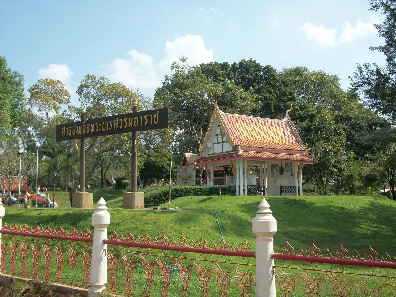
Shrine of King Naresuan the Great. The shrine houses a standing statue commemorating his camp at Prachin Buri on the way from Ayutthaya to Cambodia in 1589, and people from Prachinburi and nearby provinces come to pay respect.
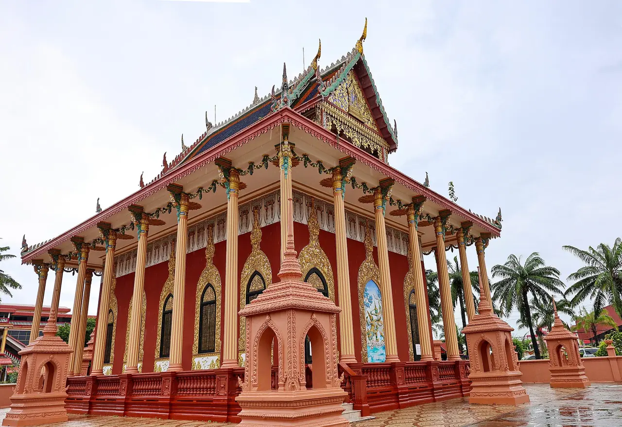
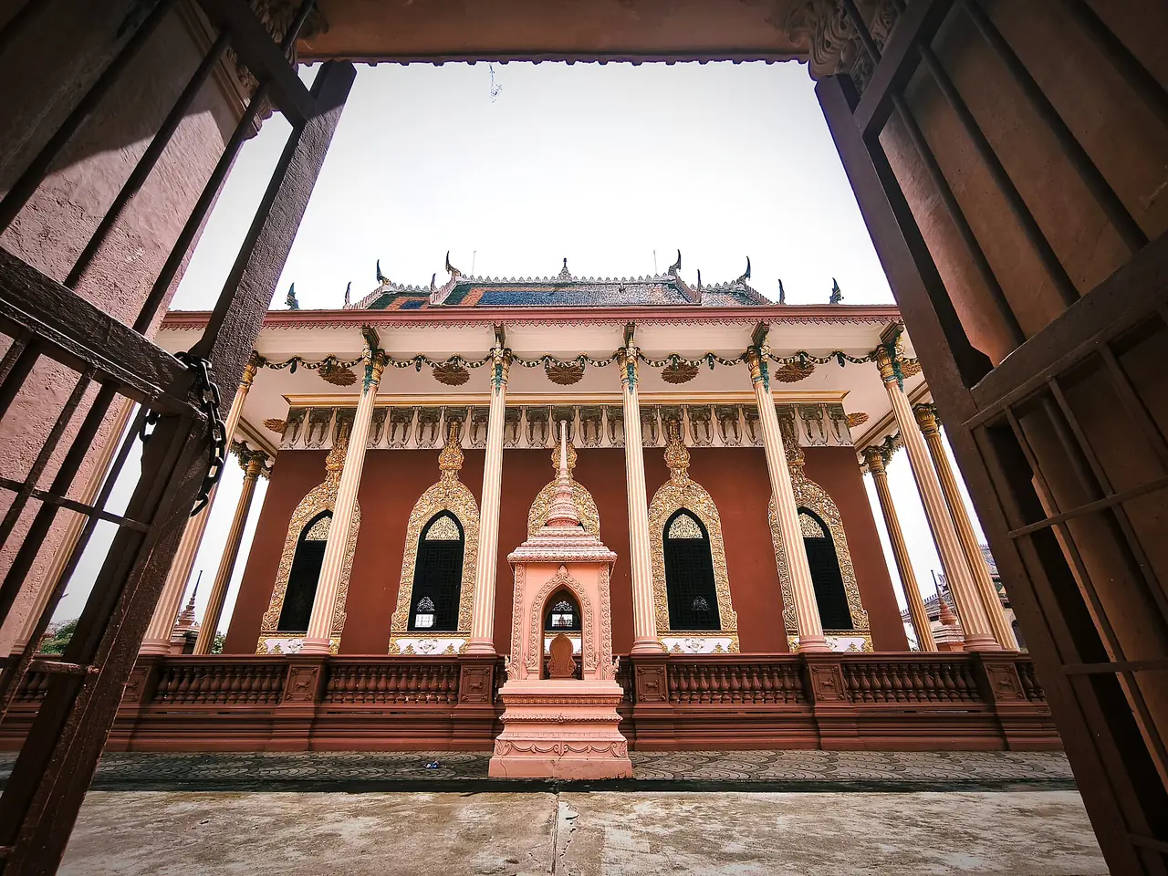
Wat Kaeo Phichit. Wikivoyage says it was the first Dhammayutika temple in Prachin Buri, built in 1879 by a local millionaire, and that in 1918 Chaophya Abhaibhubejhr built a new ordination hall that combines Thai, Chinese, European and Cambodian art.
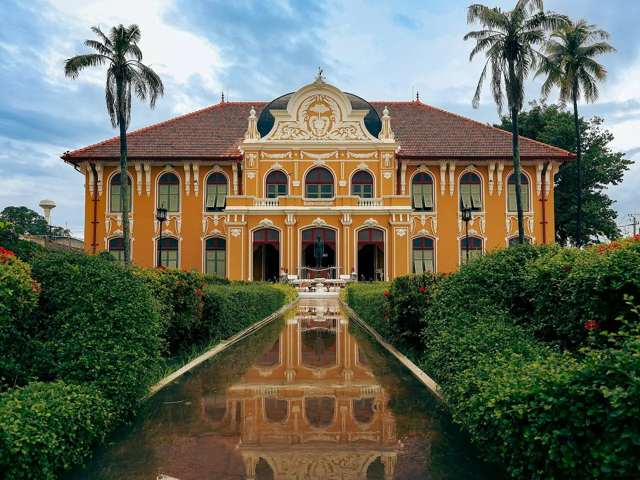
Chaophya Abhaibhubejhr Building. Wikivoyage says it was built in 1909 from Chaophya Abhaibhubejhr's personal budget as a residence for King Rama V's next visit. He died in 1910 and never stayed there; King Rama VI and his family stayed in 1912. The building once housed the administration of Chaophya Abhaibhubejhr Hospital, a pilot hospital for Thai medicine that won the 4th Thailand Tourism Award (2003). Wikivoyage says herbal products such as soap, toothpaste, herbal tea and balm are sold at the hospital.
Prachin Buri National Museum. Wikivoyage describes it as an archaeological museum displaying finds from the eastern region and neighbouring provinces, mostly from the ancient city of Si Mahosot. Wikipedia says a Harihara head reported found in Chanthaburi is held there.
Wat Bot and Wat Sa-nga Ngam. Wikivoyage places Wat Bot on the west of town on the river bank, covering 45 rai, with three Buddha images along the bank. For Wat Sa-nga Ngam it describes a ritual in which devotees duck under the ordination hall for good luck and recovery from illness, begun after a major renovation in 2002.
Bamboo Garden. Wikivoyage says the Department of Corrections supervises about 300 rai in Noen Hom with a wide collection of bamboo species and a training area for inmates with good behaviour.
Small museums. Wikivoyage also lists the Phrakhru Uthai Thammathari (Seng Sukhito) Museum, with about 900 archaeological and art pieces, and the Yusuksuwan Museum of everyday objects, including a 70-year-old lottery from Thailand's first issue. We did not check their opening hours.
Si Mahosot and Si Maha Phot: Dvaravati traces
Si Mahosot district holds the best-known ruins in the province. TAT gives distances from the town along Highway 319 (the Prachin Buri to Phanom Sarakham road) of about 22 and 23 km for two of them.
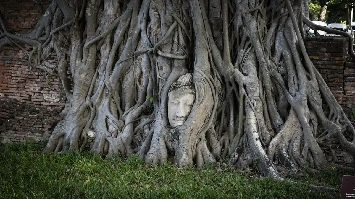
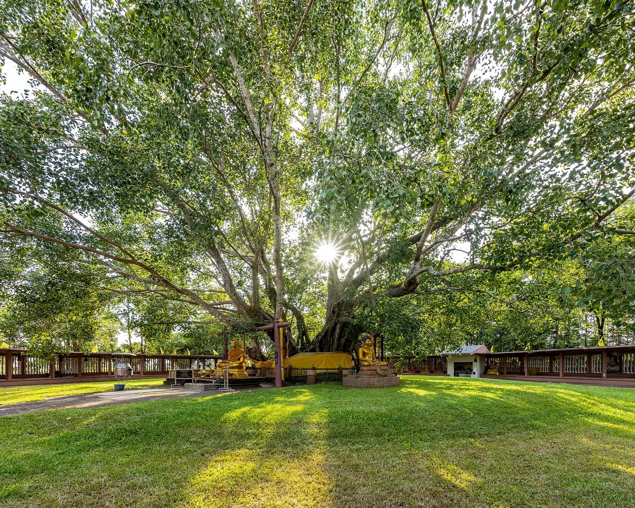
The Great Bodhi Tree. Wikivoyage and TAT agree that this is the country's oldest and largest bodhi tree, recorded as grown from a seedling brought from Bodh Gaya in India about 2,000 years ago. About 30 m tall and 20 m in circumference, it is the symbol of the province. TAT places it at Wat Ton Pho Si Maha Pho, Khok Pip, about 22 km from the town on Highway 319, then 1 km left, and says there is a fair on Visakha Puja Day.
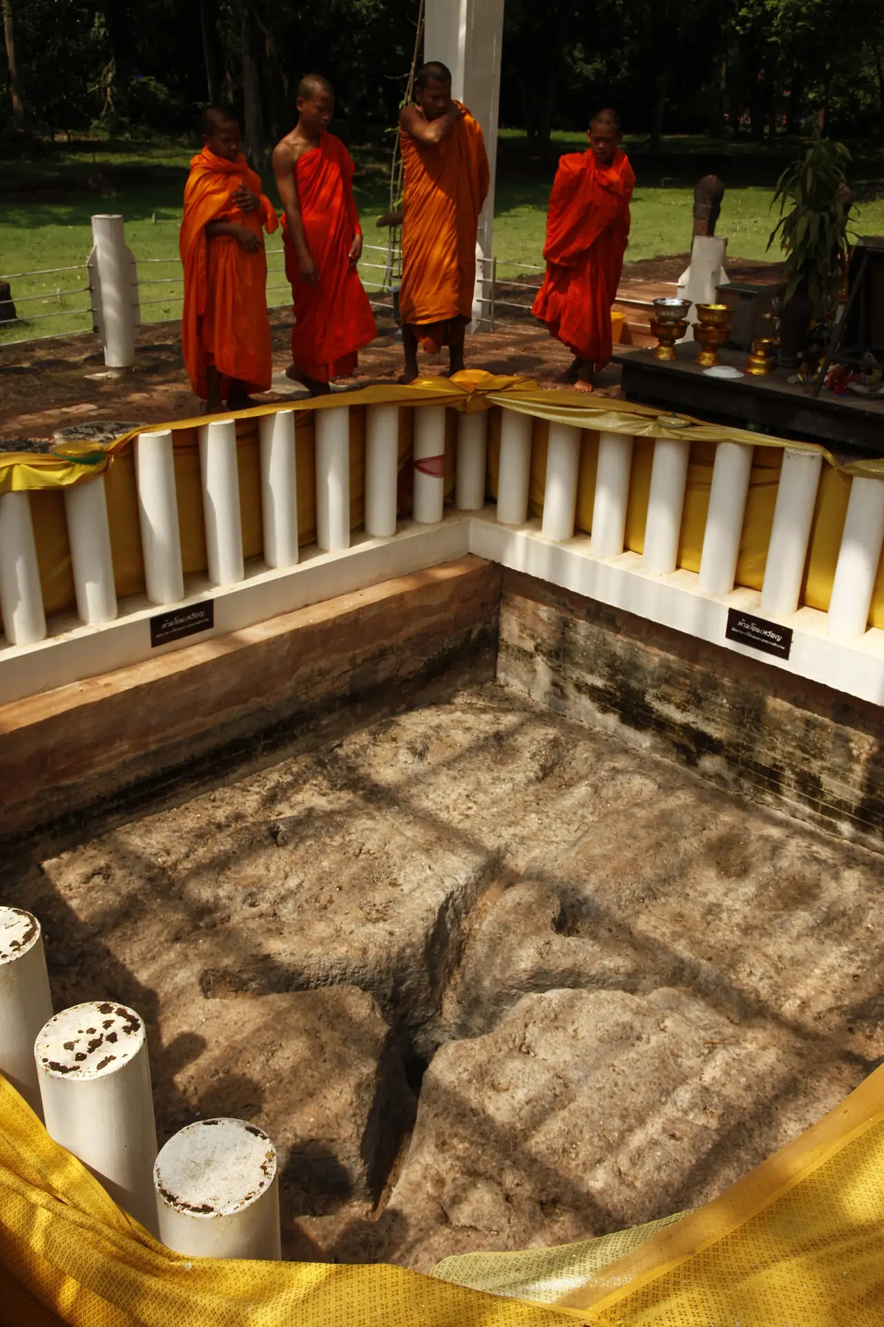
Sa Morakot Archaeological Site. Wikivoyage and TAT say that at Wat Morakot in Tambon Khok Thai the site holds the largest and oldest Buddha's footprints in Thailand, carved on natural laterite with a Wheel of Dharma on each sole. The English TAT page dates the footprints between the 7th and 9th centuries, though another paragraph on the same page gives a different range in Buddhist-era centuries, and Wikipedia says between the 600s and 800s. TAT places the site about 23 km from town on Highway 319 and then 500 m to the left. There is also a holy well and the rectangular pond that gives the site its name, and Wikipedia says the remains of a Khmer-era hospital chapel from the reign of Jayavarman VII stand there, though little survives.
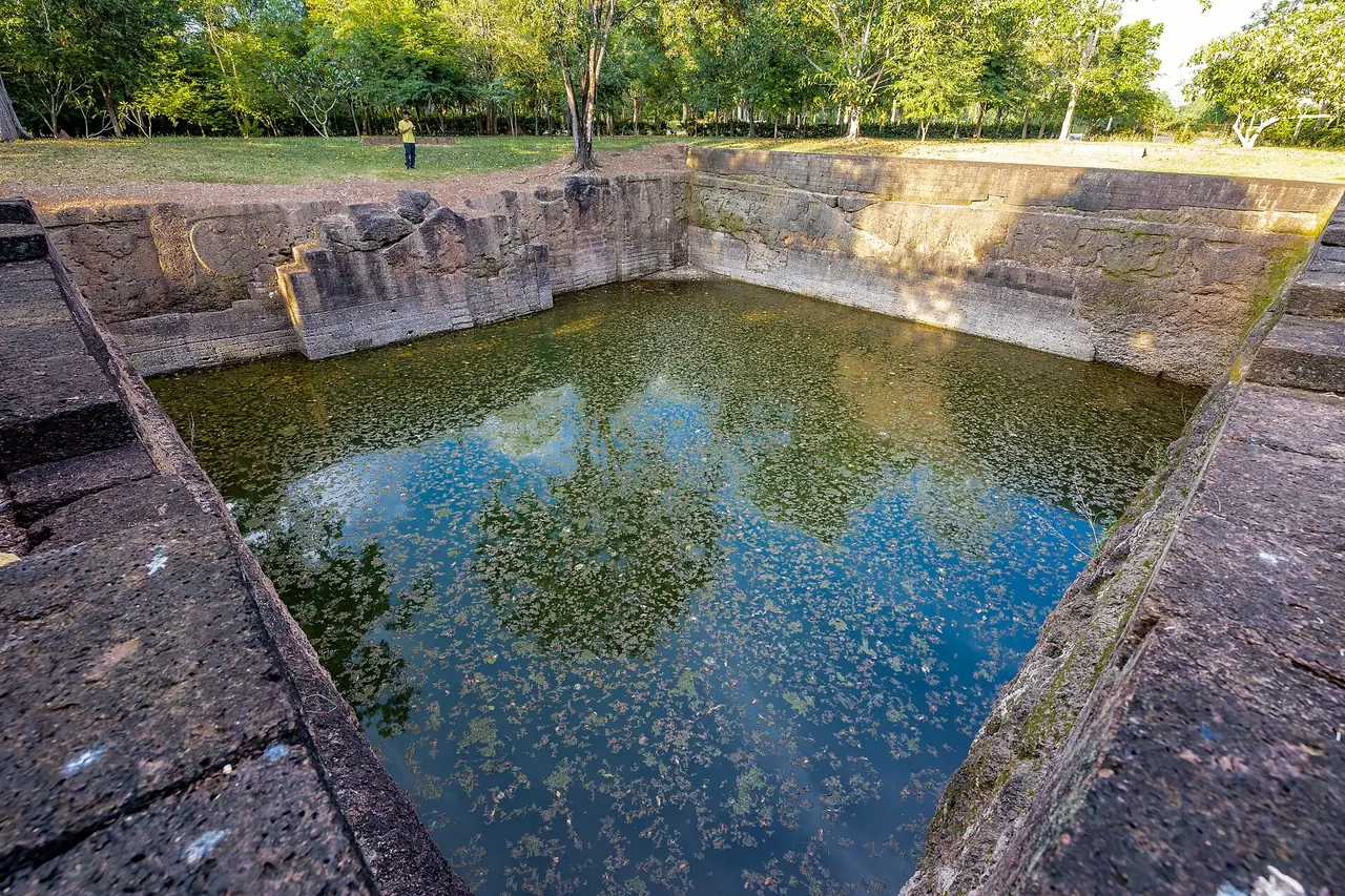
Si Mahosot Ancient Town. Wikivoyage describes an oval or rectangular town of the Dvaravati period covering about 700 rai, with a moat, mounds and more than 100 monuments, mostly related to Hinduism. Wikipedia says scholars still argue about the town's religious character in the 7th and 8th centuries and that Tang ceramics and Persian Gulf earthenware have been found there.
Phan Hin and the royal inscription. Wikivoyage describes the Phan Hin monument in Si Maha Phot as made only of laterite, 15.5 m on each side and 3.5 m high with four porches, probably a shrine to Vishnu. It also lists the Royal Handwriting Monument, an inscription of the initials made during King Rama V's visit in 1908, and Lum Mueang, about 48 holes dug in laterite whose age and purpose are unknown.
Na Di, Thap Lan and Kaeng Hin Phoeng
Na Di district lies in the north-east of the province, and Wikipedia says the Sankamphaeng Range is in its northern section.
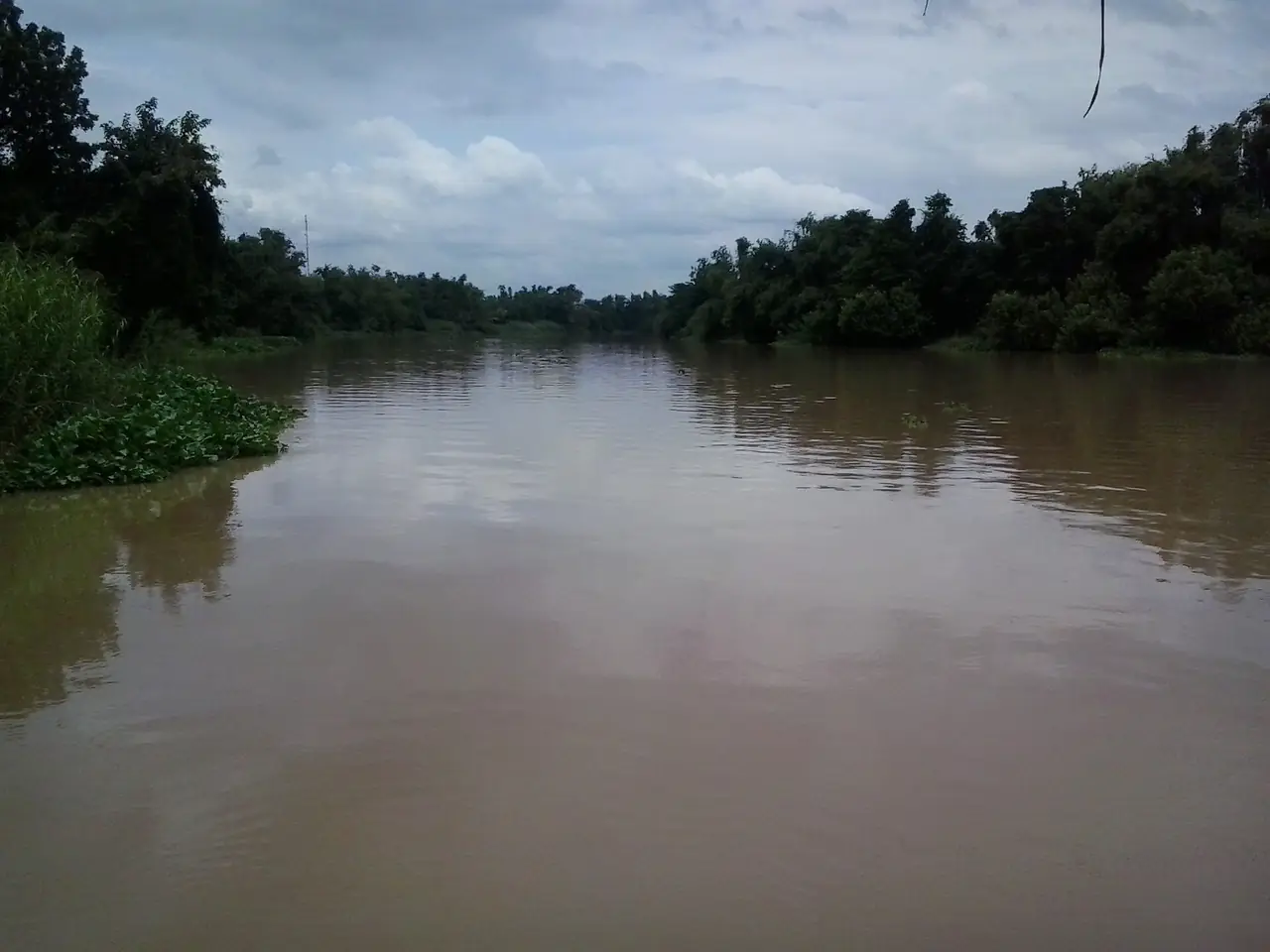
Kaeng Hin Phoeng. TAT describes rapids on the Sai Yai River, which rises in Khao Yai National Park, with a fierce whirlpool that only skilled oarsmen can navigate. A trip begins with one hour of white water and then another hour of smooth water. TAT says rafting is possible only from June to October and that local resorts in Na Di run it. Two of the Na Di resorts in our stay guide, Saksupha and Pungluang, sell rafting packages, and Wikivoyage says the rapids turn into a large rock terrace after the rainy season.
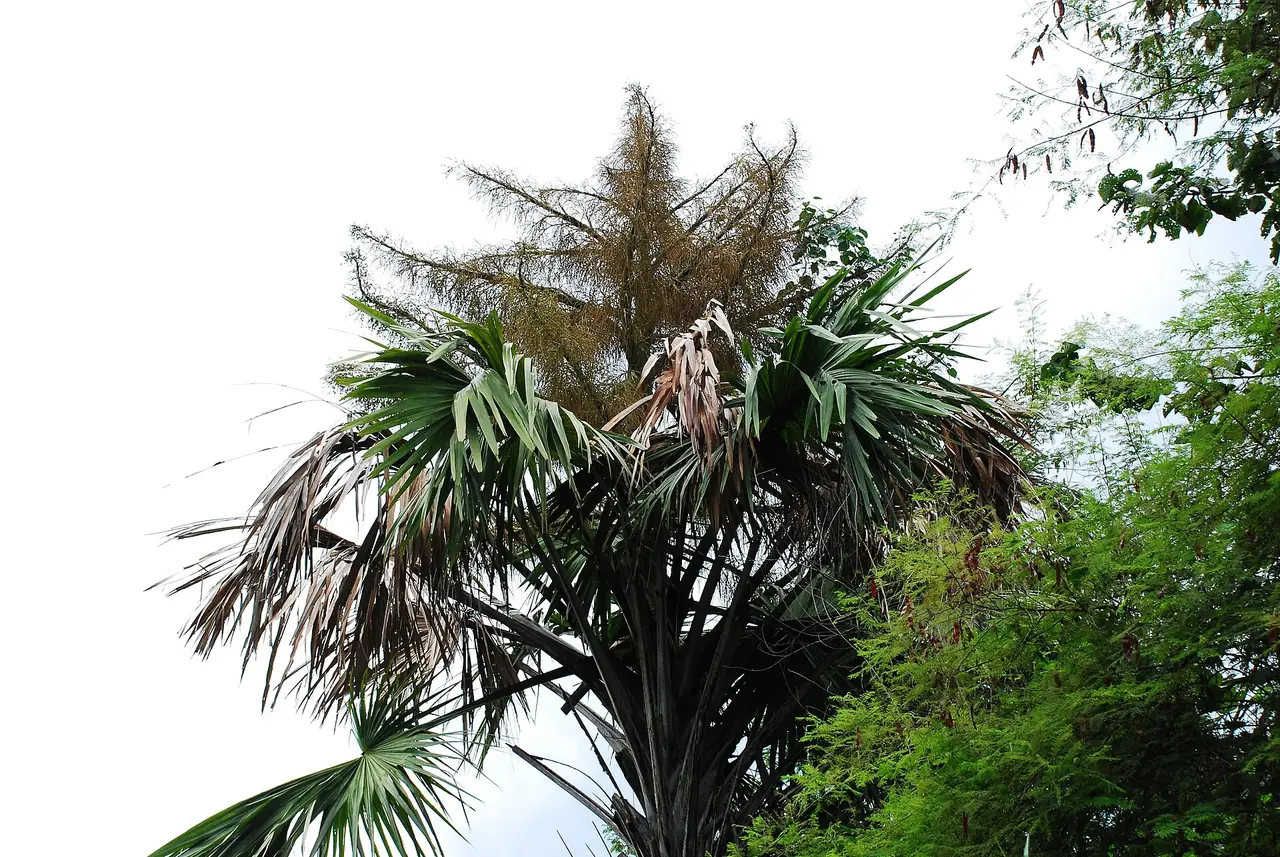
Thap Lan National Park. Wikipedia says it was established in 1981 as Thailand's 40th national park, covers about 2,236 square kilometres as the country's second largest, and has Khao Lamang at 992 m as its highest peak. It lists Lan Forest and Recreational Garden, Namtok Thap Lan (Heo Nok Kok), Thap Lan Reservoir, Namtok Huai Yai, Lam Mun Bon Dam and Hat Chom Tawan as attractions. Wikipedia describes rare talipot palm forests whose leaves were once used as parchment for Buddhist texts and whose trees flower once and then die. Wikivoyage says there is usually no accommodation in the park and visitors must bring their own tents. We did not verify entry fees or trail status on an official page, so ask the park before you go.
Trekking. Wikivoyage lists routes such as Khao Samo Pun, Namtok Som Poi to Tat Hin Yao to Thung Ngu Lueam, and Namtok Takhro to Namtok Heo Chakkachan. It also lists Suan Nongnuch Camping Resort, about 2,000 rai of flowering plants next to Khao Yai National Park. Ask park staff about access and charges before you plan a walk.
Prachantakham and Kabin Buri
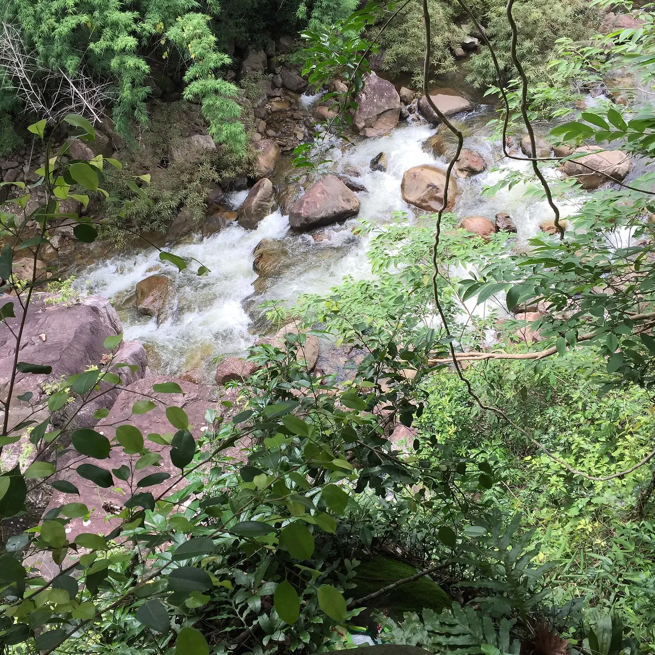
Waterfalls in Prachantakham. Wikivoyage lists three groups. Namtok Than Thip runs over rocky levels with a wide rock terrace and deep pools where people can swim. Namtok Som Poi runs about 400 m over cataracts with pools suitable for swimming. Namtok Takhro and Namtok Salat Dai have wide rapids and a suspension bridge. Wikivoyage gives no entry fee or hours, so ask your hotel.
Kabin Chaloem Rat Park. Wikivoyage describes about 900 rai of park and swamp where, it says, thousands of grebes migrate from Siberia between October and May. This is Wikivoyage's wording and we have not checked it with the managing authority.
Mueang Thong Kham Ban Bo Thong Museum. Wikivoyage says it covers the history of gold mining, with archives and mining tools.
On the road east. Wikipedia says Highway 304 passes through Kabin Buri from Nonthaburi to Korat and Highway 33 passes the north side of the district, so Kabin Buri works as a stopover on a drive to the east or north-east.
The Prachinburi side of Khao Yai
Wikivoyage says the southern entrance of Khao Yai National Park is 20 km north of Prachinburi town, and that Namtok Heo Narok on the Prachin Buri to Khao Yai route is part of the park, about 60 m high, and very vigorous in the rainy months. Wikipedia says Khao Yai was established in 1962 as Thailand's first national park. We summarise the park's own hours, fees and rules in our Khao Yai guide, so read that for the park itself.
Food and things to buy
Wikivoyage says the province is known for fruit such as durian, rambutan, pomelo, santol, mangosteen and marian plum, and for bamboo shoots. The Myrrh Resort website calls Monthong durian famous in Prachinburi. Wikivoyage also lists Chaophya Abhaibhubejhr herbal products sold at the hospital, bamboo furniture made in two villages in Prachantakham, grass brooms from Prachantakham and Pho Ngam subdistricts, and reed mats from Ban Sang district, especially Bang Plara.
Where to stay
The stay guide checks every hotel fact against the hotel's own website and splits the province into four areas:
- Noen Hom and Prachinburi town: five hotels on the Prachinburi-Khao Yai road or in town, near the southern Khao Yai gate.
- Si Maha Phot: two larger resorts south of town, on the way from Bangkok.
- Na Di: two activity resorts near Kaeng Hin Phoeng.
- Kabin Buri and Prachantakham: town hotels on the road east, plus one farm stay.
Open where to stay in Prachinburi for the area table and the 12 hotel cards.
A two-day plan
For someone with a car and a weekend, a plan that matches the distances the sources give looks like this. On day one, leave Bangkok early and stop at the Great Bodhi Tree and Sa Morakot on Highway 319, about 22 and 23 km from town, then go on to Si Mahosot and Phan Hin. Come back into town for Wat Kaeo Phichit and the Chaophya Abhaibhubejhr Building and sleep at Noen Hom or in town. On day two decide by season: in the rainy months raft Kaeng Hin Phoeng in Na Di; in the cool months drive 20 km north to the southern Khao Yai gate or visit the Prachantakham waterfalls. You need a car, because the places are far apart and we did not verify public transport inside the province.
Nearby destinations
- Khao Yai: Thailand's first national park, whose southern gate is about 20 km from Prachinburi town
- Nakhon Nayok: the neighbouring province, with waterfalls and nature close to Bangkok
- Chachoengsao: the neighbouring province to the south, where the Bang Pakong River runs on
- Isaan: the region beyond Khao Yai, reaching Khorat
- Bangkok: the starting point for most trips
- Thailand overview
FAQ
How far is Prachinburi from Bangkok?
Hotels say about 140 km. Tawa Ravadee gives 1 hour 30 minutes by car and Siamdasada says just over two hours. Wikivoyage gives 132 to 164 km depending on the route. Traffic decides the real time.
Can I visit Prachinburi without a car?
You can reach the town. Wikivoyage says the Transport Company runs buses from Mo Chit 2 and the Eastern Line has a station in town, though the times and fares it gives are old. Most sights outside town and most resorts need a taxi or a rented car, and the 12Go page we opened showed taxis only.
When is the best time to visit Prachinburi?
For walking and waterfalls, Wikipedia says November to February is cool at Khao Yai. For Kaeng Hin Phoeng rafting you need the rainy season, which TAT puts at June to October.
When can I raft at Kaeng Hin Phoeng, and what does it cost?
TAT says June to October, Pungluang says July to October and Wikivoyage says July to November. We give no price because each resort sells its own package, so ask your resort about the current water level and the price.
Are the Great Bodhi Tree and Sa Morakot far apart?
TAT places the tree about 22 km and Sa Morakot about 23 km from the town along Highway 319, and both are in Si Mahosot district, so you can visit both in half a day.
Is Pang Sida National Park in Prachinburi?
TAT lists it among Prachin Buri's parks, but Wikipedia says Pang Sida National Park is in Sa Kaeo province. We therefore do not treat it as a sight in this province and suggest you confirm with the park before planning around it.
Can I stay inside Thap Lan National Park?
Wikivoyage says there is usually no accommodation in the park and visitors must bring their own tents. The hotels we checked are outside the park, mainly around Noen Hom and Na Di.
Official sources and further reading
- Prachinburi province (Wikipedia)
- Prachinburi (Wikivoyage)
- TAT: Prachin Buri
- TAT: Sa Morakot Archaeological Site
- TAT: Ton Pho Si Maha Pho (The Great Bodhi Tree)
- TAT: Kaeng Hin Phoeng
- Khao Yai National Park (Wikipedia)
- Thap Lan National Park (Wikipedia)
- Pang Sida National Park (Wikipedia)
- Dong Phayayen-Khao Yai Forest Complex (Wikipedia)
- Kabin Buri district (Wikipedia)
- 12Go: Bangkok to Prachin Buri
- Siamdasada Khaoyai Resort
- Pungluang Campground Resort
- Tawa Ravadee Resort
Prices, schedules and entry rules change. Figures here are approximate as of 2026; always confirm on the official or operator page before you book. Spotted something out of date? Tell us.