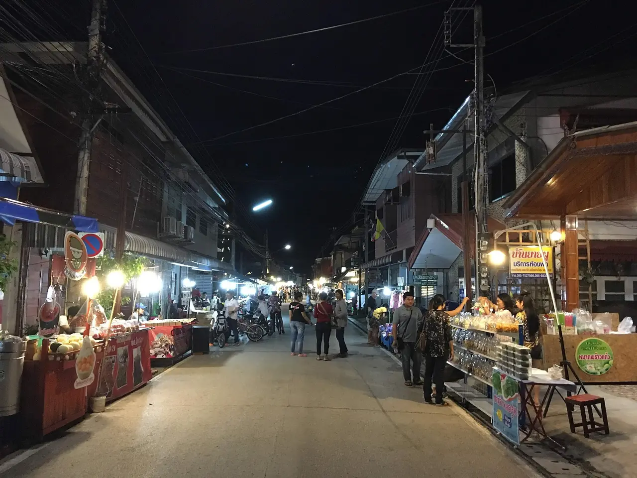
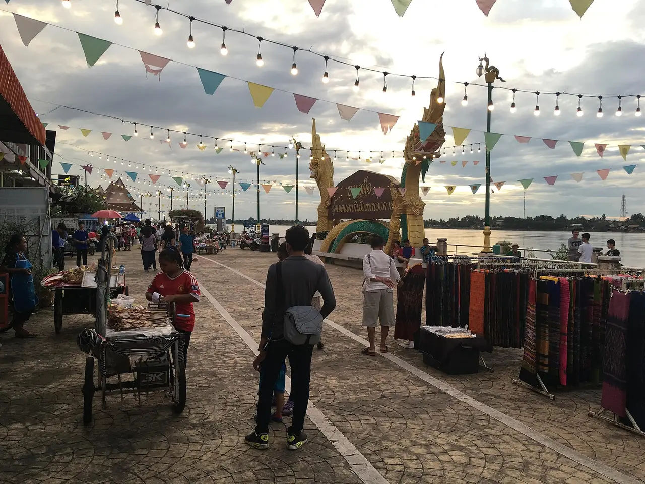
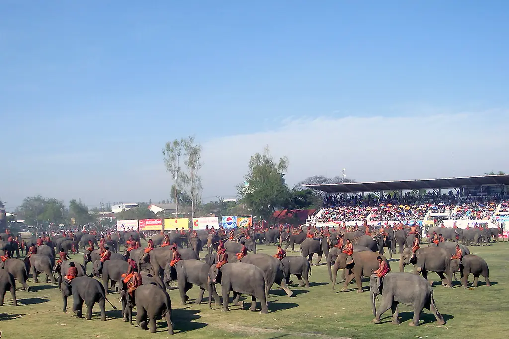
Roi Et is a province in the middle of Isaan, Thailand's northeast, and its capital is built around a large lake, Bueng Phlan Chai, with an island and a walking Buddha in the middle. Walk once around the lake and you pass a city tower, a public park, the city pillar shrine and several important temples. It suits one or two nights, not a week-long plan.
This guide uses only facts we could check on 16 October 2026 against the sources listed at the end. It says so when two sources disagree, and when something is old, such as opening hours, entry fees and bus timetables, which you should confirm with the operator before you go. We could verify only two hotels against their own official sites, so there is no separate where-to-stay page yet; the area advice is below.
What Roi Et is like
English Wikipedia places Roi Et in central Isaan, with an area of about 7,873 square kilometres, mostly plains between roughly 130 and 160 metres above sea level, drained by the Chi River. The Phu Phan hills lie to the north and the Mun River marks the boundary with Surin to the south. The Bangkok Post, in a 2014 article, gives the area as 8,299 square kilometres, so the sources do not agree; the safe summary is a large, mostly flat province.
The name sounds like "one hundred and one", but Wikipedia explains that the province was named after eleven ancient gates built for eleven vassal states. In the old script eleven was written as 101, and later readers took the number literally. Wikivoyage adds that the old city was called Saket Nakhon, and the Bangkok Post calls it a settlement of more than 300 years that today is more like a medium-sized market town. Traces of the old city are hard to find.
The number 101 keeps turning up: the city tower is marketed as Roi-Et 101 Tower, and the big chedi is 101 metres wide, according to both Thai Wikipedia and the Bangkok Post.
Bueng Phlan Chai and Roi Et Tower
Thai Wikipedia and Wikivoyage describe Bueng Phlan Chai as the symbol of the province, in the heart of town, with an area of about 200,000 square metres, an island, flower gardens, the city pillar shrine, a large walking Buddha, a floral clock and a replica of the constitution tray, a playground and an exercise area. Both mention rowing boats; Thai Wikipedia adds pedal boats. We could not check prices or hours, so ask on site.
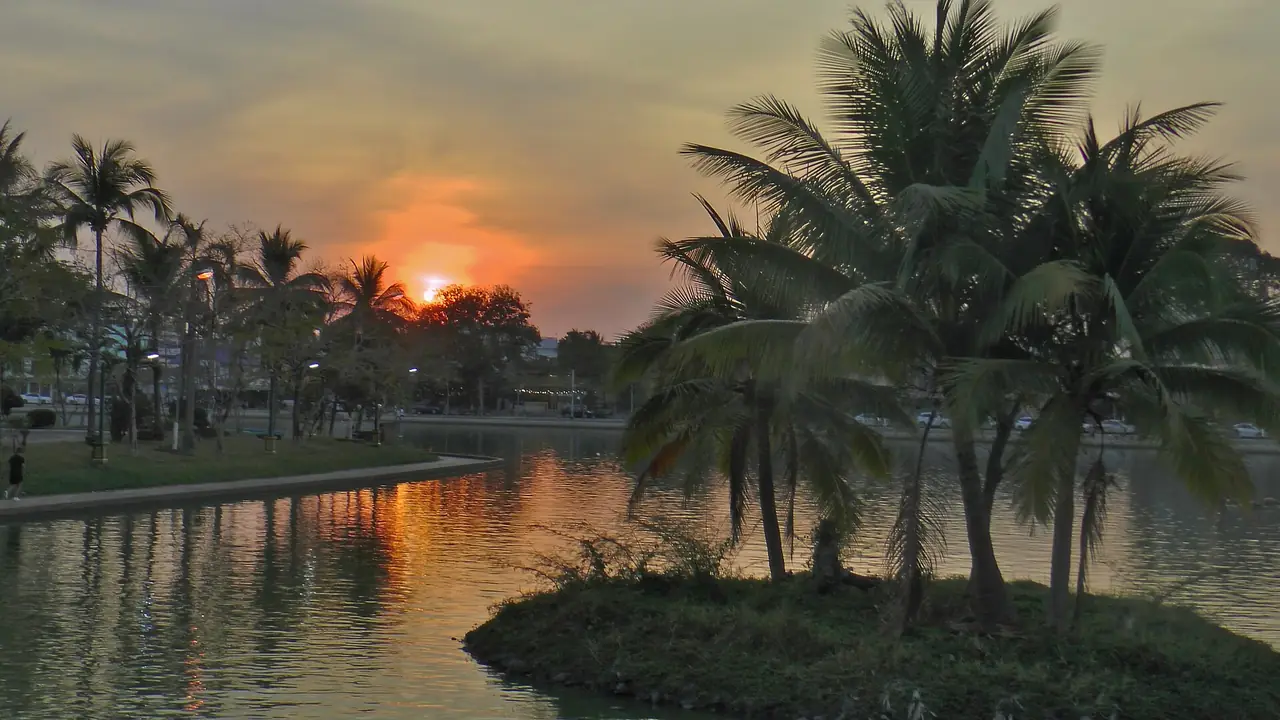
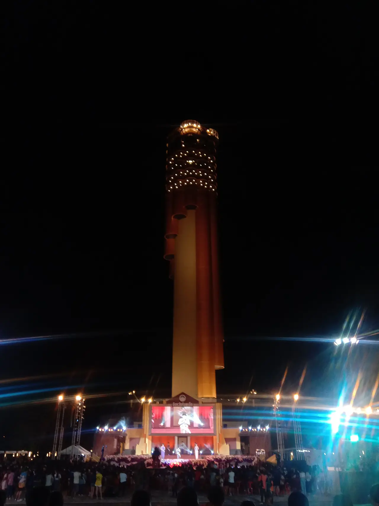
Roi Et Tower, known in Thai as Hor Wot, stands in Somdet Phra Srinagarindra Park in front of the provincial hall and next to the lake. Its shape is based on the wot, a traditional Isaan bamboo instrument. The Nation reported in 2020 that it is 101 metres and 35 floors, built with a budget of 341.8 million baht. Thai Wikipedia says it is 123 metres and opened on 21 December 2020. The two heights do not match, so we show both. Thai Wikipedia also lists viewing floors inside and outside, a Roi Et city museum on floor 33, a shrine on floor 35, and activities such as a cable ride and abseiling from the upper floors. Whether those are running now, and what the tickets cost, has to be checked with the tower itself.
Wikivoyage and the Bangkok Post also describe Wat Klang Ming Muang in the middle of town. The Bangkok Post notes an Isaan-style closed ordination hall (sim) with refined wood carvings and murals of the Buddha's last ten lives; Wikivoyage says the temple is still used as a Buddhist school and for annual examinations.
Wat Burapha Phiram and Luang Pho Yai
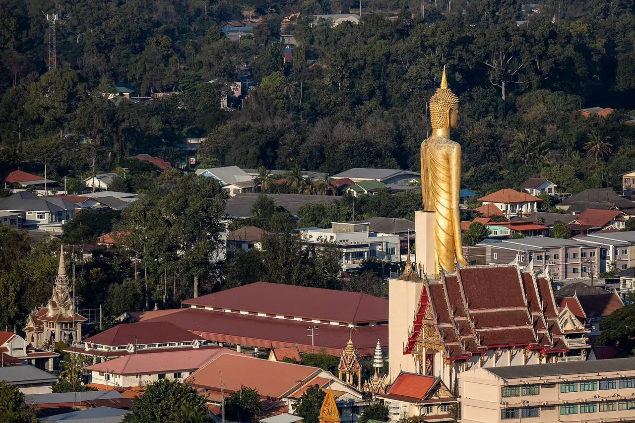
Wat Burapha Phiram lies beside the eastern moat on Prem Pracharat Road, according to the Bangkok Post. Its main draw is Phra Phuttha Ratana Mongkhon Maha Muni, called Luang Pho Yai, a standing Buddha in the blessing posture that several sources call the tallest in Thailand in that pose. Wikivoyage and the Bangkok Post give consistent figures of about 59.2 metres to the top and about 67.85 metres including the base. Wikivoyage says the base holds museum chambers and that visitors can climb a staircase to knee height. The Bangkok Post says visitors customarily strike the large gong in front of the statue to make a wish.
Wikivoyage recommends Phadung Phanit Road as a place to buy silk and cotton fabric; it is in the same part of town.
Phra Maha Chedi Chai Mongkhon
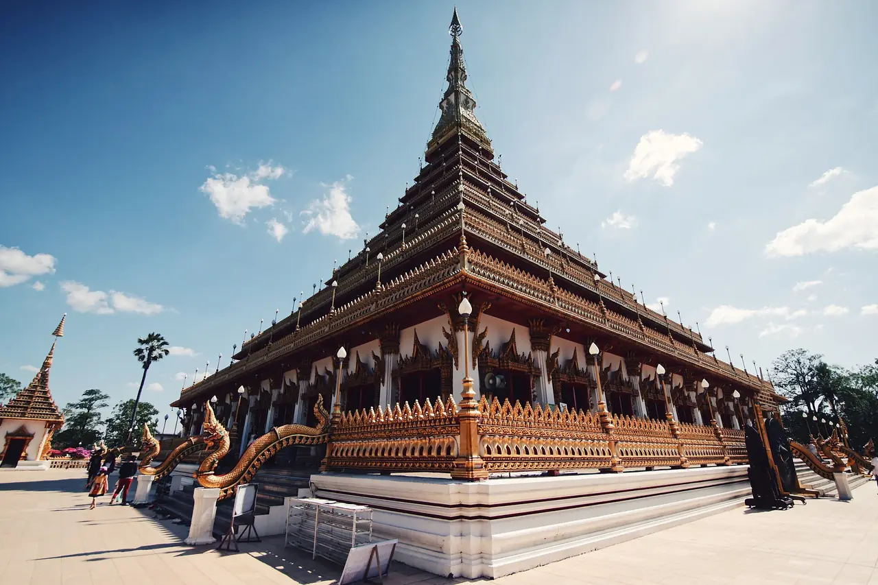
Phra Maha Chedi Chai Mongkhon is in Nong Phok district, on the grounds of Wat Pha Nam Thip Thep Prasit Wanaram, according to Thai Wikipedia. The Bangkok Post places it on a hill of the Phu Phan range. It was designed by the Fine Arts Department as a blend of a round, bell-shaped Lanka-style stupa, like Phra Pathom Chedi, and a square-based Khmer-style stupa, like Phra That Phanom. It is painted white with gold decoration and surrounded by eight smaller chedis. The Bangkok Post and Thai Wikipedia agree that it is 101 metres wide and 109 metres tall including the gold tip, with about 60 kilograms of gold on the tip, and relics enshrined on the top floor.
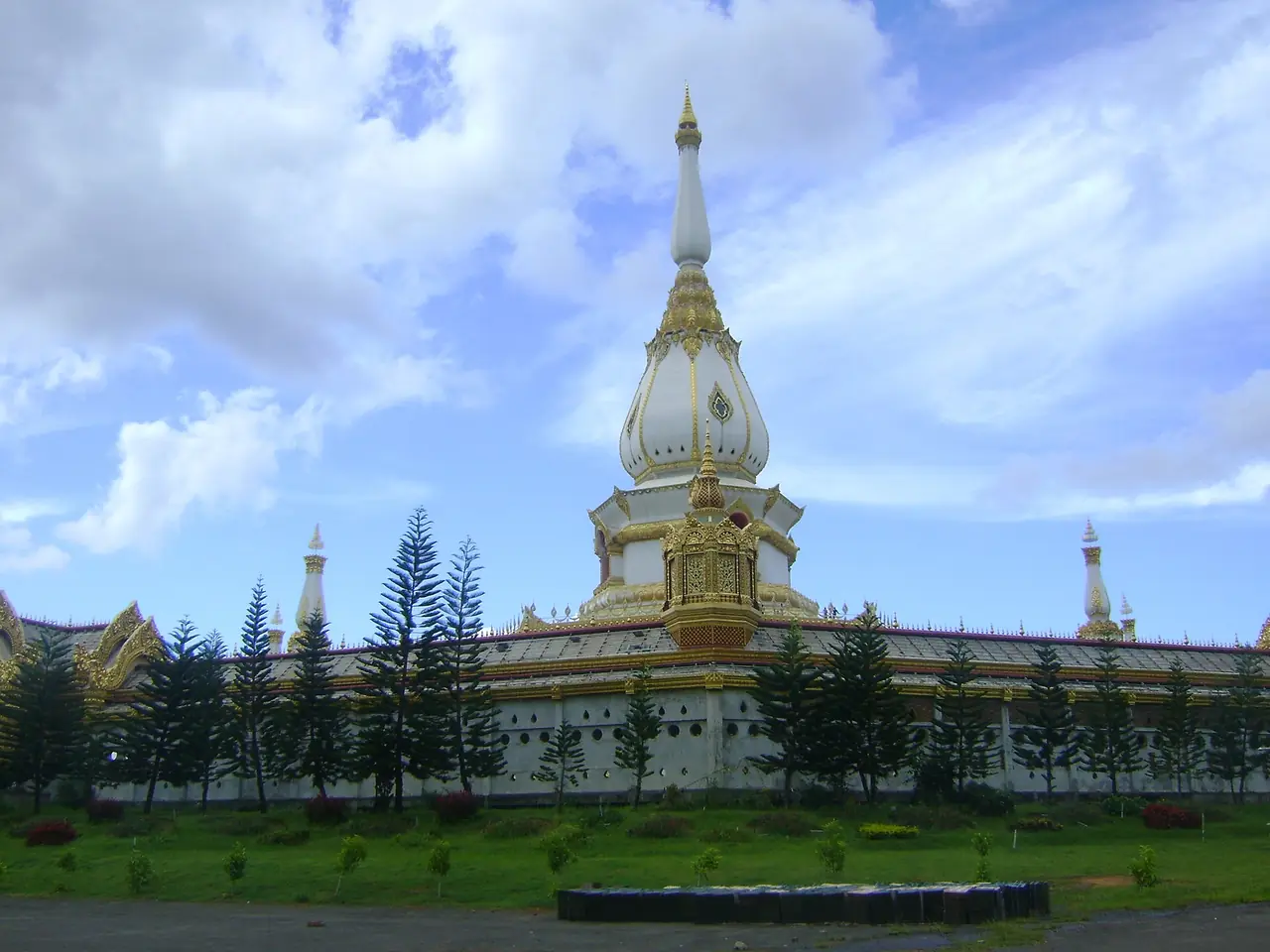
Distances disagree. The Bangkok Post says 107 kilometres from Roi Et town, Thai Wikipedia says about 80 kilometres, and Wikivoyage says Wat Pha Nam Yoi is about 70 kilometres away. Open a map when you plan, and allow half a day for the round trip. The Bangkok Post (2014) said it was open daily from 08:00 to 18:00 with free entry, but that is an old figure, so confirm with the temple. It is an active religious site, so dress modestly.
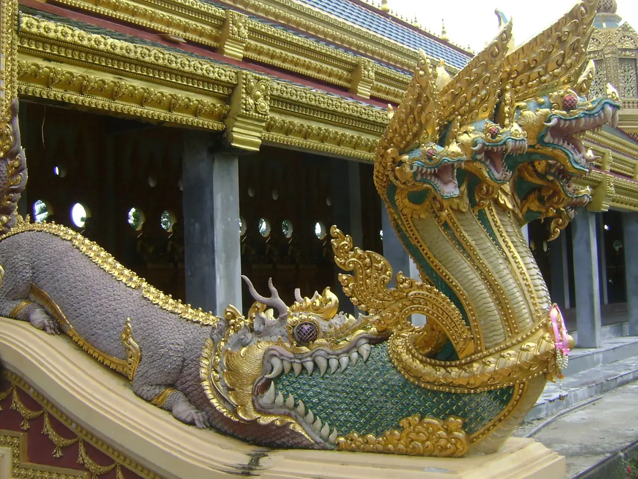
The Bangkok Post also describes Chedi Hin Sai, a sandstone stupa complex at Wat Pa Kung in Si Somdet district, inspired by Borobudur and completed in 2004, about 25 kilometres from the town centre. It is another stop for people who like temple architecture.
Khmer ruins and the museum
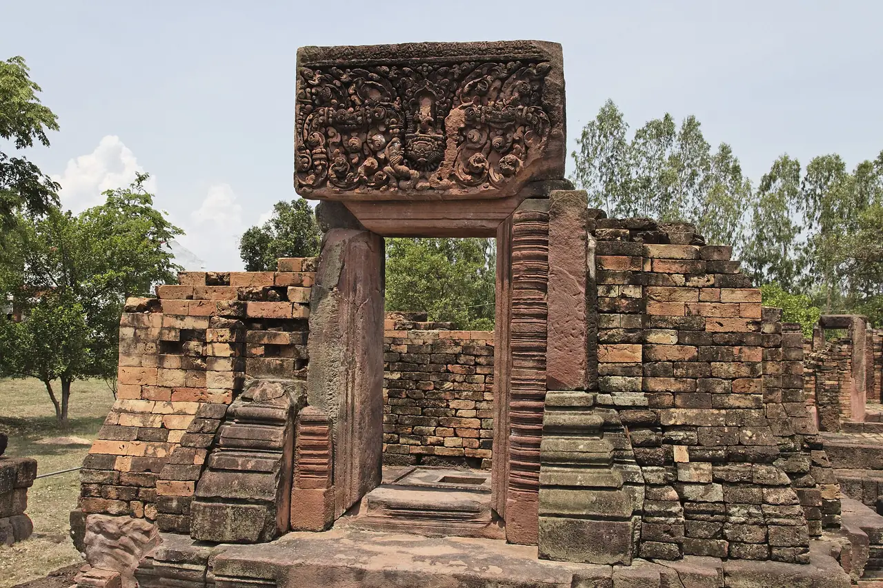
The Bangkok Post names three Khmer sanctuaries for anyone interested in ruins: Ku Ka Sing in Kaset Wisai district, Ku Phra Kona in Suwannaphum district (spelled Ku Phra Na there) and Prang Ku in Thawat Buri district. Wikivoyage describes Ku Ka Sing as three prangs on one laterite base, inside a wall with gopura gateways in the four directions and a U-shaped moat outside.
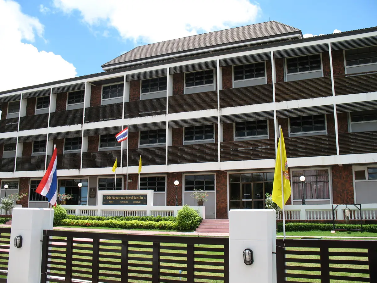
Roi Et National Museum is in town on Pleonjit Road. Wikivoyage lists it as open Wednesday to Sunday, 09:00 to 16:00, with 30 baht for Thais and 100 baht for foreigners, but we could not tell when that page was last checked and could not confirm it with the Fine Arts Department, so call first.
For nature, Wikivoyage mentions the Tham Pha Nam Thip non-hunting area and the Pha Mok Mi Wai viewpoint, and the Bangkok Post mentions Bung Klua, a 7,500-rai lake in Selaphum district. Both are outside town and we did not check routes or opening times.
Food and what to bring home
The Bangkok Post says the province is best known for fragrant Thung Kula Rong Hai jasmine rice, the wot (a bamboo woodwind) and a woven cloth called pha lai saket nakhon with five auspicious motifs. Wikivoyage says the province's main handicraft is the khaen panpipe, and that Ban Wai Luen on Highway 23 near the km 145 marker weaves silk in a cooperative. Thai Wikipedia describes Thung Kula Rong Hai as a huge plain that has become a major jasmine rice area, and Roi Et is one of the provinces it covers.
On food, the Bangkok Post in 2014 mentioned a papaya salad restaurant, a fermented-fish chilli paste stall and a roadside seller of grilled sticky rice cakes. These are small businesses that change hands easily; we cannot say they are still open, so check on a map first.
Festivals
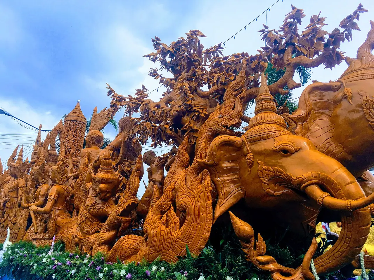
Wikivoyage and Thai Wikipedia list several large events. Bun Phawet, the Vessantara Jataka sermon, is held in early March around the park and lake, with 13 parades and free rice noodles. The rocket festival (Bun Bang Fai) is held around June, and the Phanom Phrai and Suwannaphum parades are the best known. Thai Wikipedia describes the Si Phum rocket style of Suwannaphum, cut with scissors. A candle parade takes place on Asalha Puja day at the park, the Loy Krathong event "Sommanam Khuenpheng Sengpratheep" is held at the lake, and the long boat races at Mueang Bua in Kaset Wisai are held around mid-October.
Exact dates move with the lunar calendar. Check the provincial website or the municipality before buying tickets; hotels in town fill up faster during the big festivals.
Getting to Roi Et
Roi Et is about 512 kilometres from Bangkok by road according to Wikivoyage and the Bangkok Post. Wikipedia says 514 kilometres and the 12Go page says 434 kilometres. The sources measure differently, so use the number only as a rough guide.
| From | By | What the source says |
|---|---|---|
| Bangkok by car | Highway 1, then Highway 2 via Korat and Maha Sarakham | Wikivoyage: about 512 km, around 7 hours |
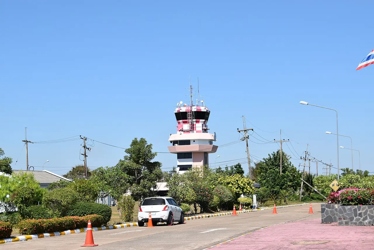
| Bangkok by air | Don Mueang to Roi Et Airport | The airport is about 11 km from town per Wikipedia; airlines change, so check with them |
| Bangkok by bus | From Mo Chit and other Bangkok terminals | Wikivoyage lists ordinary and air-conditioned buses; 12Go lists several operators |
| Khon Kaen by bus | Pink bus to Roi Et | Wikivoyage mentions air-conditioned pink buses from Khon Kaen |
| Bangkok by train | Train to Khon Kaen, then bus | Thai Wikipedia says no railway crosses the province; a Ban Phai to Nakhon Phanom double-track line passing Roi Et is described as under construction. Check with SRT |
Wikivoyage says the Roi Et bus terminal is on Thawa Phiban Road with direct buses to Maha Sarakham, Kalasin, Yasothon and Surin. In town, Wikivoyage mentions samlor three-wheelers at 20 to 50 baht, which is an old figure, so agree a price before you ride.
Booking the trip
When we opened the 12Go page for Bangkok to Roi Et in a browser on 16 October 2026, searching for Sunday 18 October with 2 travellers, it listed 69 trips at THB 556 to THB 17,850: 45 buses from THB 556, 9 flights from THB 1,605 and 15 taxis from THB 5,175. Bus operators seen in the results included Transport Co, Ubon Air, Cherdchai Tour and Prayat Tour, and one flight result was a Thai AirAsia departure from Don Mueang at 06:50 arriving at Roi Et at 07:50. Everything changes with date and remaining seats, so treat these as a guide, and compare travel time and price before you book.
When to go
English Wikipedia describes a tropical savanna climate with dry, very warm winters, temperatures rising to April, which is the hottest month with an average daily maximum of 35.7 degrees Celsius, and a monsoon season from May to October with heavy rain and somewhat cooler days.
For walking around the lake and going up the tower, the dry winter months should be the most comfortable. If you are coming for a festival, plan around its date: Bun Phawet in early March, the rocket festival around June or Loy Krathong at full moon in the twelfth lunar month. Check the forecast with the Thai Meteorological Department before you go.
Where to stay
Almost every traveller to Roi Et will want the town centre around Bueng Phlan Chai, where the tower, the park, restaurants and the main temples are close together. For Phra Maha Chedi Chai Mongkhon or Ku Ka Sing, base yourself in town and hire a car or a driver for the day, as the sights outside town are tens of kilometres apart.
We could verify only two hotels against their own official sites, so we do not yet have a comparison page:
- M Grand Hotel Roi Et: its official site says guests can walk to Bueng Phlan Chai and the Roi Et Tower, and that there is parking around the hotel and 24-hour security. The address is 99 Hai Sok Road, in the town.
- Petcharat Garden Hotel: its official site gives the address 404 Moo 17 Kachaprayuk Road, Mueang Roi Et. The home page has little detail on rooms, so ask the hotel directly about rooms and facilities.
We do not quote room prices, because the hotels' official sites do not show prices we could confirm. For the Bun Phawet or Loy Krathong weekends, book early.
Nearby destinations
- Isaan overview: the wider region and how Roi Et fits into it
- Khon Kaen: the usual rail and bus connection to Roi Et
- Ubon Ratchathani: further east in Isaan
- Surin: to the south, with the Mun River forming the boundary
- Mukdahan: to the north-east, on the Mekong
- Buriram: Khmer temples and a racing circuit to the south-west
- Thailand overview
- Kalasin: Sirindhorn Museum, Lam Pao Dam and Phrae Wa silk
- Maha Sarakham: Phra That Na Dun, Wat Photaram and the university town
FAQ
How far is Roi Et from Bangkok?
Wikivoyage and the Bangkok Post say about 512 kilometres by road, and Wikivoyage puts the drive at around 7 hours. Wikipedia says 514 kilometres and the 12Go page says 434 kilometres, so the figure depends on how it is measured. Use it as a rough guide and check your route on a map.
How do I get from Bangkok to Roi Et?
On 16 October 2026 the 12Go page listed 45 buses from THB 556, 9 flights from THB 1,605 and 15 taxis from THB 5,175 for a Sunday 18 October search with 2 travellers. No railway runs through the province. By train you go to Khon Kaen and continue by bus, according to Thai Wikipedia and Wikivoyage.
What are the best things to do in Roi Et?
The sources we checked mention Bueng Phlan Chai, Roi Et Tower, Wat Burapha Phiram and Luang Pho Yai, Wat Klang Ming Muang, Roi Et National Museum, Phra Maha Chedi Chai Mongkhon, Chedi Hin Sai at Wat Pa Kung, the Khmer sanctuaries of Ku Ka Sing, Ku Phra Kona and Prang Ku, and the Tham Pha Nam Thip non-hunting area.
How tall is Roi Et Tower?
The Nation reported in 2020 that it is 101 metres and 35 floors. Thai Wikipedia gives 123 metres and an opening date of 21 December 2020. The two sources disagree, so we show both. We could not verify opening hours or ticket prices with the operator, so check before you go.
How far is Phra Maha Chedi Chai Mongkhon from Roi Et town?
The sources disagree: the Bangkok Post says 107 kilometres, Thai Wikipedia says about 80, and Wikivoyage says about 70 for Wat Pha Nam Yoi. Allow half a day for the round trip and check a map before you leave. Dress modestly, as it is an active religious site.
When is the best time to visit Roi Et?
Wikipedia describes dry, very warm winters, April as the hottest month and a monsoon season from May to October. For walking around the town, the dry winter months should be the most comfortable. For festivals, plan around their dates: Bun Phawet in early March, the rocket festival around June or Loy Krathong at the lake.
Where should I stay in Roi Et?
The town centre around Bueng Phlan Chai is the most convenient, as the tower, restaurants and temples are close together. M Grand Hotel Roi Et says on its official site that guests can walk to the lake and the tower, and Petcharat Garden Hotel is on Kachaprayuk Road. For sights outside town, hire a car or driver for the day.
What can I bring home from Roi Et?
The Bangkok Post names Thung Kula Rong Hai jasmine rice, the bamboo wot and pha lai saket nakhon cloth. Wikivoyage names the khaen panpipe and recommends Phadung Phanit Road for silk and cotton. We have not checked shops or prices, so compare a few before you buy.
Official sources and further reading
- Roi Et province (Wikipedia)
- Roi Et town (Wikipedia)
- Roi Et (Wikivoyage)
- Roi Et province (Thai Wikipedia)
- Roi Et Airport (Wikipedia)
- City of 11 gates (Bangkok Post, 28 August 2014)
- New Roi-Et tower hits high note on Isaan skyline (The Nation)
- Roi Et provincial website (Thai)
- 12Go: Bangkok to Roi Et
- M Grand Hotel Roi Et
- Petcharat Garden Hotel
- Thai Meteorological Department
Prices, schedules and entry rules change. Figures here are approximate as of 2026; always confirm on the official or operator page before you book. Spotted something out of date? Tell us.