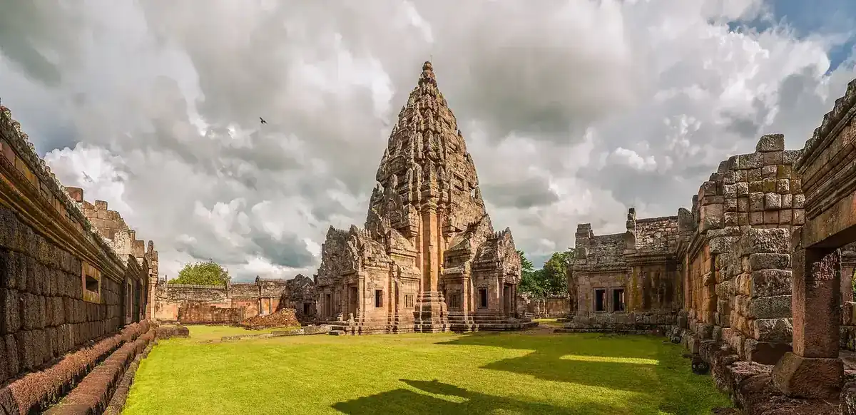
Nong Khai is where Thailand stops and the Mekong takes over. The town sits on the river opposite Vientiane, the capital of Laos, so many travellers see it only as the last stop before the bridge. That is a pity. The river front is pedestrianised, the market streets run down to the water, a sculpture park stands a few kilometres out, and once a year the town waits for lights over the river. This guide covers the town and the places around it, and says where the sources disagree or where we could not verify something.
Everything here was checked on 16 October 2026 against the sources listed above. We have not published a full where-to-stay guide for Nong Khai yet; see the short hotel list near the end of this page.
What Nong Khai is
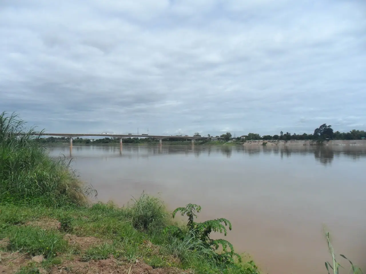
Thai Wikipedia describes a long, narrow province running along the Mekong, with a 195 km river border with Laos and six crossing points to Laos, two permanent and four relaxed ones. The best known is the Thai-Lao Friendship Bridge. Wikipedia says the bridge was built jointly by Thailand, Laos and Australia and opened in 1994, and Wikivoyage calls it the first bridge across the lower Mekong. Thai Wikipedia gives the bridge length as 1,170 m.
The province used to be bigger. Thai Wikipedia says it covered about 7,332 km2 before Bueng Kan province split away, and gives the present area as about 3,026 km2; English Wikipedia says 3,275 km2. That split matters for visitors, because some well-known sights that older guides file under Nong Khai now belong to Bueng Kan, including Phu Wua (see below).
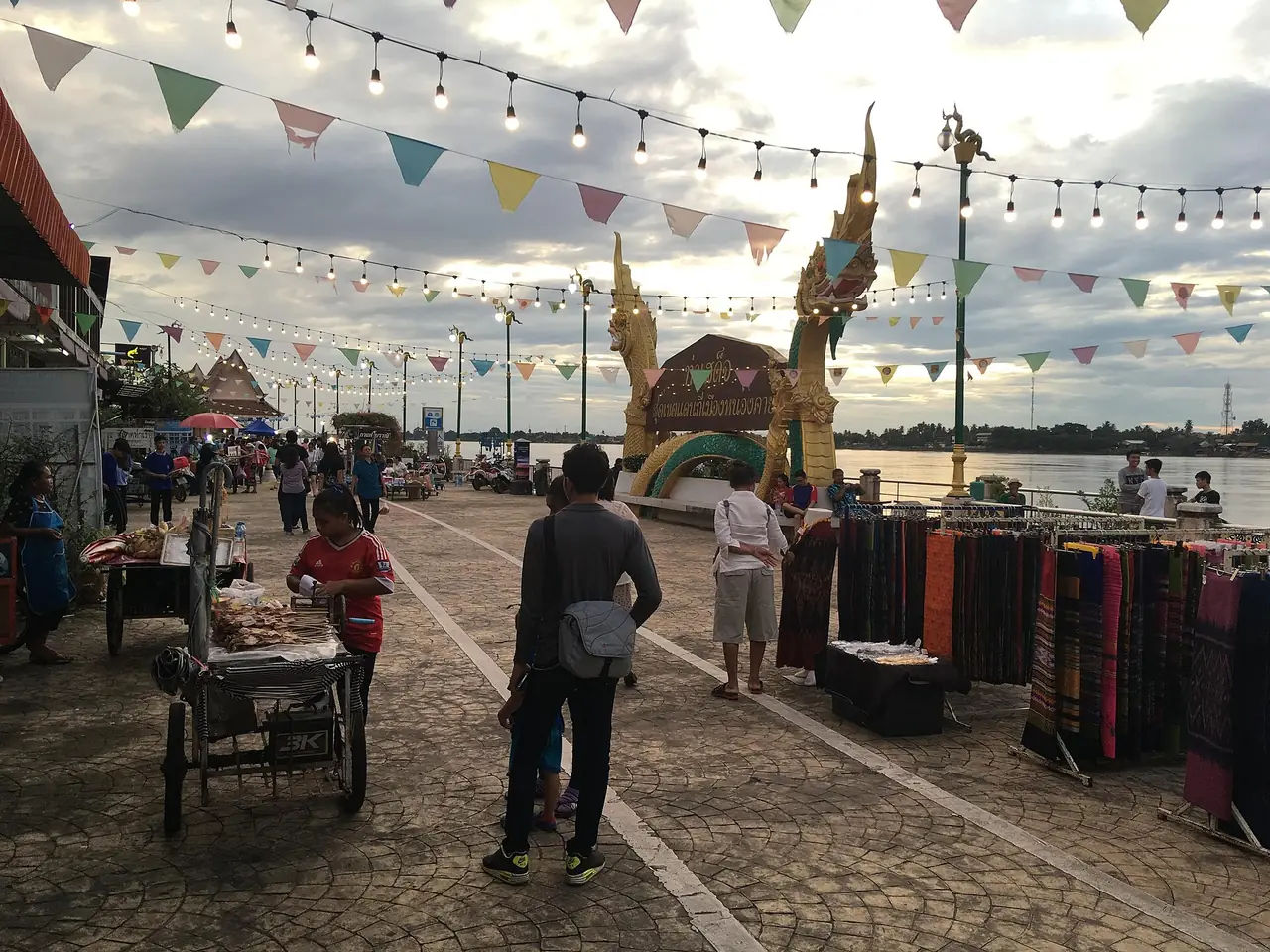
The town itself is calm. Wikivoyage says a large part of the centre, including the river bank, has been made pedestrian-only, and that Nong Khai is full of images of the Naga, the Mekong serpent. Two five-headed nagas stand at the city gate, it says, and the street lamps carry them too.
Getting to Nong Khai
| From | How | What the sources say |
|---|---|---|
| Bangkok by train | Overnight trains on the north-eastern line | Mut Mee's own page lists four trains a day and says the best takes about 10 hours; check the State Railway of Thailand for the current timetable. Wikipedia says 10 trains served the station as of 19 July 2024 |
| Bangkok by air and ground | Fly to Udon Thani, then minibus, bus or train | Wikivoyage puts the Udon Thani airport 56 km away, Wikipedia says the town is 60 km north of Udon Thani; Mut Mee says the airport minibus takes about 50 minutes |
| Bangkok by bus | Long-distance bus | Wikivoyage says about 9 hours; Mut Mee says about 10 hours for the overnight VIP services |
| Bangkok by car | Highway 2 (Mittraphap Road) | 615 km on Thai Wikipedia, 626 km on English Wikipedia |
| Bangkok, booking online | The 12Go route page | See below |
| Udon Thani to Nong Khai | Bus, minibus or train | Wikivoyage says buses leave at least once an hour and take about an hour |
The 12Go page for Bangkok to Nong Khai, opened in a real browser on 16 October 2026, is titled Bangkok to Nong Khai by train, bus, van, flight, taxi. Its editorial text describes the railway from Bangkok through Nakhon Ratchasima to Nong Khai and Route 2 by road, and mentions Sala Kaew Ku and the naga fireballs. The figures the page showed are the ones it showed on that day; we do not quote prices, and you should check the operator and times when you book. Some links on this site may earn us a commission; that does not change what you see.
Where the sources disagree
| Item | What we found |
|---|---|
| Distance from Bangkok | About 615 km by road (Thai Wikipedia), 626 km by road (English Wikipedia), 623.58 km by rail (Wikipedia, station page) |
| Distance to Vientiane | 25 km (Wikipedia), 20 km (Wikivoyage), about 16 km as the crow flies (Mut Mee's own page) |
| Distance to Udon Thani | 60 km (Wikipedia), 56 km to the airport (Wikivoyage) |
| Train over the bridge | Wikivoyage describes two daily trains to Thanaleng; Wikipedia says all passenger services moved to Khamsavath station in 2024 |
| Province area | About 3,026 km2 (Thai Wikipedia), 3,275 km2 (English Wikipedia) |
Treat the shorter distances as the best case and confirm timetables yourself.
Crossing to Laos: the Friendship Bridge
This is the section where guides date fastest, so we only repeat what we could read on an official page.
- The UK Foreign, Commonwealth and Development Office (FCDO) says you must have a visa to visit Laos. It says tourist visas have been 30 days from arrival since 1 January 2025, that the e-visa is single entry and should be applied for at least 5 days ahead, and that a visa on arrival is available at many entry points.
- The same page says all foreign nationals entering Laos must complete the Lao Digital Immigration Form within 3 days before arrival and 3 days before departure, and that it applies at Lao-Thai Friendship Bridge I among other checkpoints.
- The Lao e-visa site says the stay permit of an e-visa is 30 days and it is valid for a maximum of 60 days after the approval letter.
- The FCDO closure of land crossings that you may have read about concerns Thailand and Cambodia, not Laos. We found no source saying the Nong Khai to Vientiane crossing is closed.
What we could not verify: whether the Friendship Bridge itself is on the list of e-visa and visa-on-arrival points (the Lao immigration page is script-rendered), the Thai-side exit and re-entry rules, and the current bus and shuttle arrangements on the bridge. Wikivoyage says visa on arrival is available on the Lao side, but that page is not an official source. Check your own government's advice and the official immigration sites before you travel.
The train deserves a note. Wikipedia says the rail link across the bridge opened on 5 March 2009 and ran to Thanaleng, but that all passenger services were moved to Khamsavath station in 2024, which Wikipedia puts a few kilometres from the centre of Vientiane. Wikivoyage still describes Thanaleng, so it is out of date on this point.
Things to do in Nong Khai
The river front and Tha Sadet market
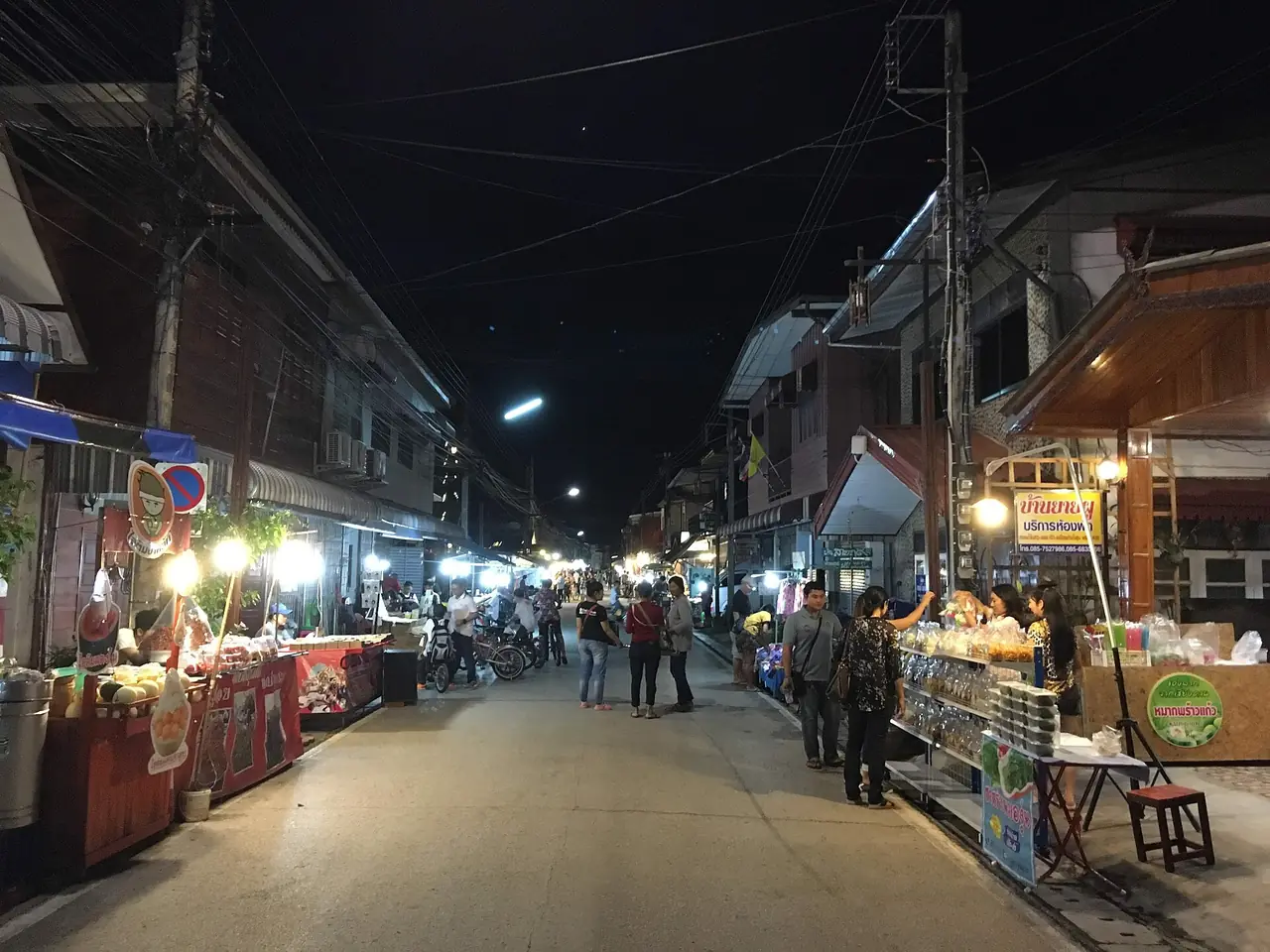
Wikivoyage describes Tha Sadet Market as the Thai-Lao Indochina market that occupies many streets in the centre of town. English Wikipedia's province page names the Phaya Naga Plaza as a landmark of Tha Sadet, a Mekong riverside border market. We could not verify opening hours, so go in the afternoon and ask your hotel. The riverside is where the town spends its evenings.
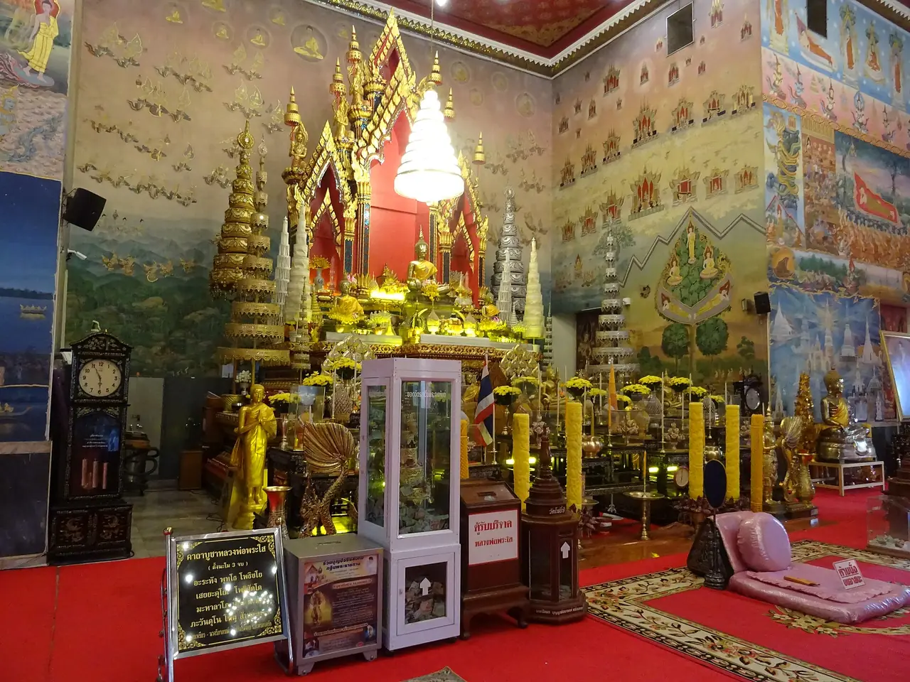
Wat Pho Chai and Luang Pho Phra Sai
Wikivoyage says the Buddha image at Wat Pho Chai, Luang Por Phra Sai, was one of three cast for the daughters of King Setthathirath of Laos, and that it is displayed on 13 April each year at Songkran. Thai Wikipedia shows Wat Pho Chai among the province's lead photos, and the provincial slogan names Luang Pho Phra Sai.
Sala Kaew Ku
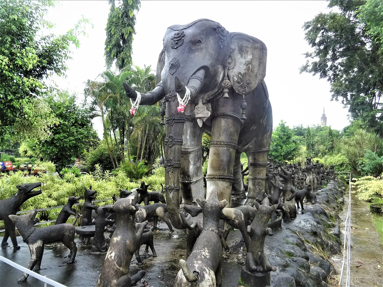
Wikipedia describes Sala Keoku, also spelled Sala Kaew Ku, as a park of giant concrete sculptures inspired by Buddhism and Hinduism, begun in 1978 by Luang Pu Bunleua Sulilat. Some sculptures reach 25 m, including a Buddha under a seven-headed naga, and the park holds a Wheel of Life representing birth and death. The pavilion's third floor holds Sulilat's mummified body, Wikipedia says. Wikivoyage puts the park about 6 km east of town. We could not verify the current entrance fee or opening hours, so check on the day.
Wat Phra That Bang Phuan
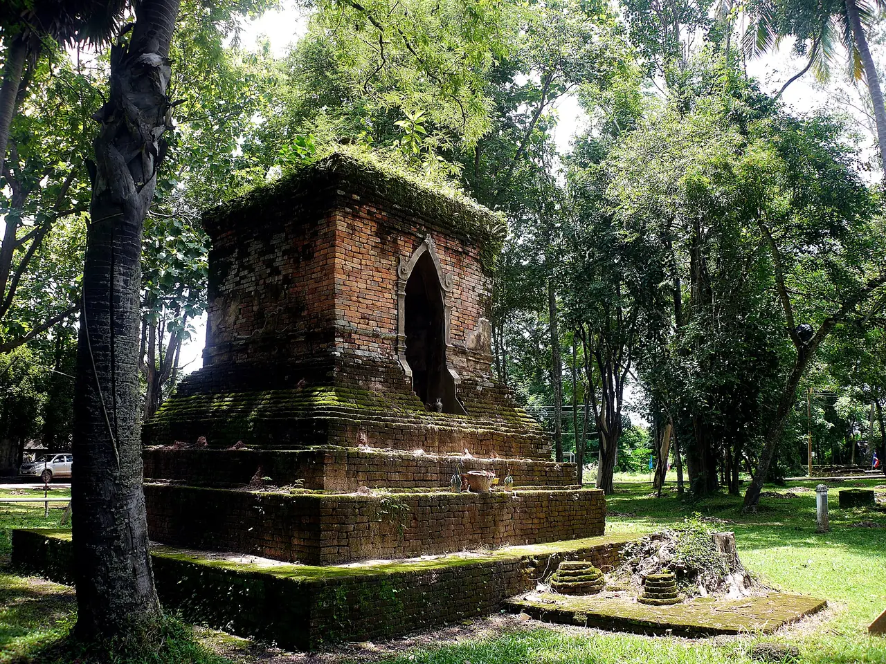
Thai Wikipedia says Wat Phra That Bang Phuan is in Mueang Nong Khai district and covers 102 rai. Its chedi is square, built of laterite and brick, and Thai Wikipedia ties it to the Urangkhathat legend. The same article says the temple still holds all seven of the sattamahasathan sites, which it calls the only place in the world to do so. That is the article's claim, and we have not verified it elsewhere. We also could not verify the distance from town.
Phu Wua: not in Nong Khai
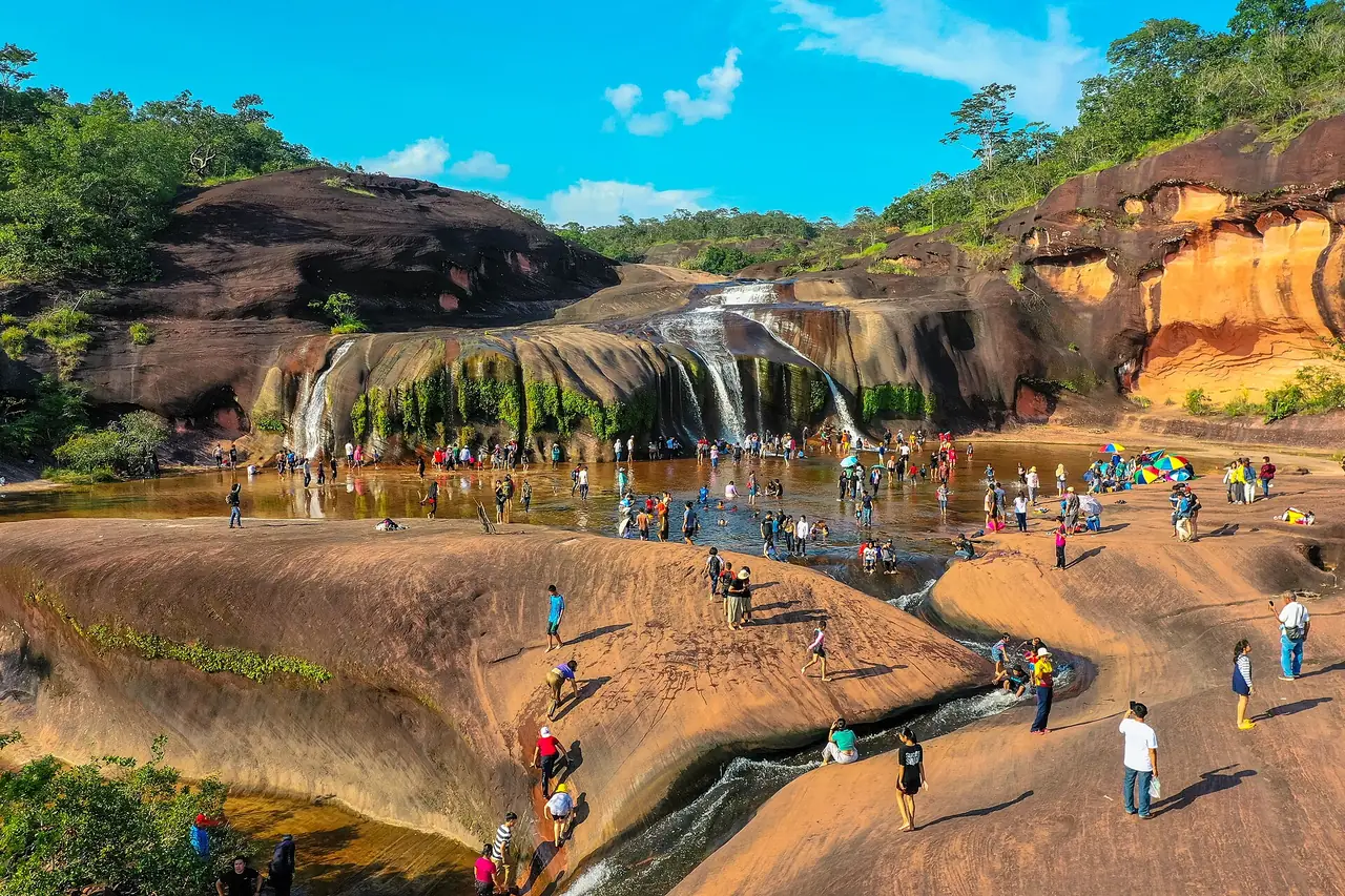
Phu Wua is on many Nong Khai lists, but Wikipedia puts the sanctuary in Bueng Kan province, in the districts of Seka and Bung Khla, covering 186.5 km2 and established on 2 May 1975. It says the forested hills run along the Mekong between 160 and 448 m and lists elephants, tigers, leopards, bears and gibbons among the wildlife. Bueng Kan separated from Nong Khai in 2011 (Wikivoyage). We could not verify access, fees or opening hours, so do not plan a day trip without checking locally.
The Naga fireballs
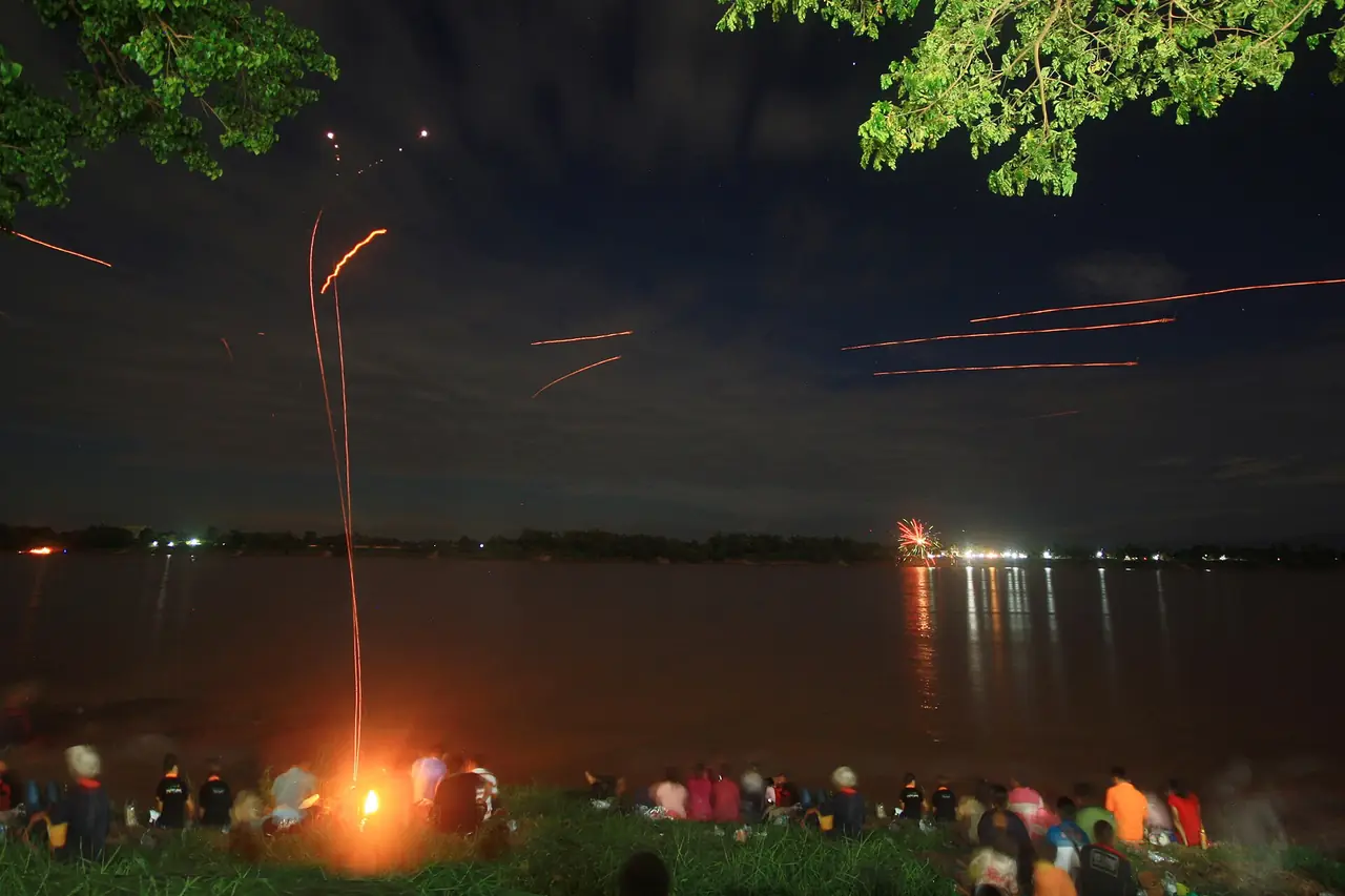
Wikipedia says the Naga fireballs, in Thai bang fai phaya nak, are a phenomenon said to be seen annually on the Mekong, usually reported around the night of Wan Ok Phansa at the end of Buddhist Lent in late October. It says reports cover about 250 km of the river centred on Phon Phisai district, and that the phenomenon is locally attributed to the phaya nak, a giant serpent. Wikivoyage says Phon Phisai is 40 km east of Nong Khai and that some visitors who are sceptical say the lights look like fireworks from the Lao bank. We do not know what causes them and make no claim either way.
For 2026, Mut Mee's own site says the last day of Buddhist Lent is Monday 26 October 2026 and that Nong Khai holds a festival from Friday 23 to Tuesday 27 October, with dragon-boat racing and floats on the river. That is a hotel's page, not an official calendar, so confirm with a local source. Rooms in town are likely to be scarce that week; book early.
The seasons
Wikipedia says Nong Khai has a tropical savanna climate. We did not find a sourced rainfall table, so we leave out numbers. Mut Mee says the end of Buddhist Lent coincides with the end of the rainy season and that the river can drop as much as ten metres, and Wikivoyage says a river beach appears near the Friendship Bridge from January to May when the water is low. Check the forecast for your dates.
Where to stay
Our research checked 4 hotels against their own websites, in four areas:
- Mekong riverfront: Mut Mee Guest House, which asks guests to book by email.
- Town centre: Hop Inn Nong Khai, near Tha Sadet Market and the walking street.
- Friendship Bridge side: Tanzeno Hotel, with a Thai-only site.
- Phon Phisai road: Nongkhai Grand Hotel, the largest on the list.
That is a short list: we could not find a readable official site for most other Nong Khai hotels. We will publish a full where-to-stay guide once we can verify at least five hotels on their own websites.
Nearby destinations
- Udon Thani: the nearest airport city
- Loei: the Mekong towns upstream
- Isaan: the wider north-east
- Bangkok: where most trips to Nong Khai start
- Thailand overview
FAQ
How do I get from Bangkok to Nong Khai?
By overnight train or bus (about 10 hours according to Mut Mee's page), or by flying to Udon Thani and going on by minibus, bus or train. The 12Go page for Bangkok to Nong Khai describes train, bus, van, flight and taxi options; we do not quote its prices.
How far is Nong Khai from Vientiane?
The sources disagree: 25 km on Wikipedia, 20 km on Wikivoyage and about 16 km as the crow flies on Mut Mee's page. Use a map for the road distance to your Vientiane address.
Do I need a visa for Laos?
Yes, according to the UK FCDO, which says you must have a visa to visit Laos. It says tourist visas are 30 days from arrival and that the Lao Digital Immigration Form applies at the Friendship Bridge. Check your own government's advice and the official immigration sites.
Can I take the train over the bridge?
Wikipedia says the rail link opened in 2009 and that all passenger services moved to Khamsavath station in 2024; Wikivoyage describes older arrangements to Thanaleng. We could not verify today's timetable, so check the State Railway of Thailand.
Is Sala Kaew Ku worth a visit?
Wikipedia calls it a park of giant sculptures, some up to 25 m, inspired by Buddhism and Hinduism, and Wikivoyage places it about 6 km east of town. We could not verify fees or hours, so check on the day.
Is Phu Wua in Nong Khai?
No. Wikipedia places Phu Wua Wildlife Sanctuary in Bueng Kan province. Bueng Kan split from Nong Khai in 2011.
When are the Naga fireballs?
They are reported around the end of Buddhist Lent. Mut Mee's own site says the last day this year is Monday 26 October 2026 and the town festival runs 23 to 27 October. We could not verify the dates on an official calendar.
Where do the Naga fireballs appear?
Wikipedia says reports are centred on Phon Phisai district, about 40 km east of Nong Khai on Wikivoyage's figure, and along about 250 km of the Mekong.
What is the best time to visit Nong Khai?
We found no sourced climate table. Mut Mee says the rainy season ends around the end of Buddhist Lent in October, and Wikivoyage says the river beach appears from January to May. Check the forecast for your dates.
Official sources and further reading
- Nong Khai province (Wikipedia)
- Nong Khai (Wikipedia)
- Nong Khai (Wikivoyage)
- Nong Khai province (Thai Wikipedia)
- Sala Keoku (Wikipedia)
- Nong Khai railway station (Wikipedia)
- Thanaleng railway station (Wikipedia)
- Naga fireballs (Wikipedia)
- Phu Wua Wildlife Sanctuary (Wikipedia)
- Wat Phra That Bang Phuan (Thai Wikipedia)
- UK FCDO: Laos entry requirements
- Lao e-visa FAQ
- Mut Mee Guest House: Mekong fireballs
- Mut Mee Guest House: how to get here
- 12Go: Bangkok to Nong Khai
Prices, schedules and entry rules change. Figures here are approximate as of 2026; always confirm on the official or operator page before you book. Spotted something out of date? Tell us.