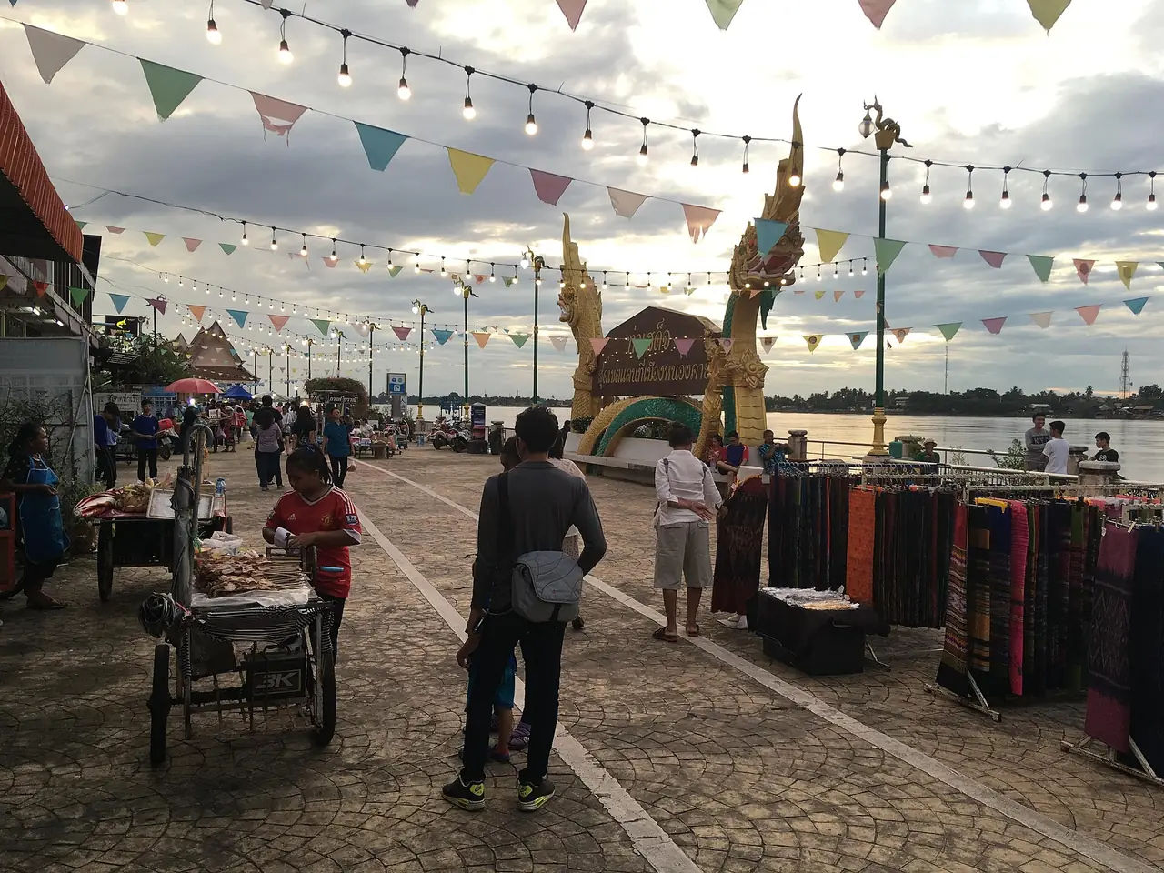
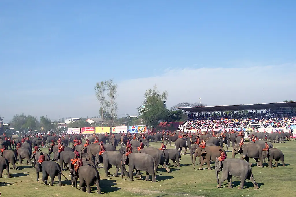
Maha Sarakham is rarely the first name on an Isan itinerary, but if you are crossing the middle of the region it has things worth a stop: a relic park built to be a Buddhist centre for the whole northeast, a temple hall painted on every wall, a small Khmer sanctuary, and a town full of students, which keeps food and rooms cheaper than in the big cities.
This guide is compiled from the Tourism Authority of Thailand (TAT), Wikipedia, Wikivoyage, and the 12Go page we opened in a real browser on 16 October 2026. Where we could not check something we say so. There are no prices or ratings that we guessed.
What kind of province is it
Wikipedia describes Maha Sarakham as lying in central northeastern Thailand (Isan), mostly a plain of rice fields with small hills only in the north and east, between 130 and 230 m above sea level, with the Chi as its main river. Thai Wikipedia adds a province area of about 5,300 square kilometres and two nicknames. "Takasila" (Taxila) refers to the number of schools and universities, and "navel of Isan" comes from the region's midpoint being placed at Ban Bueng Kui, village no. 13 of Hua Khwang subdistrict in Kosum Phisai district.
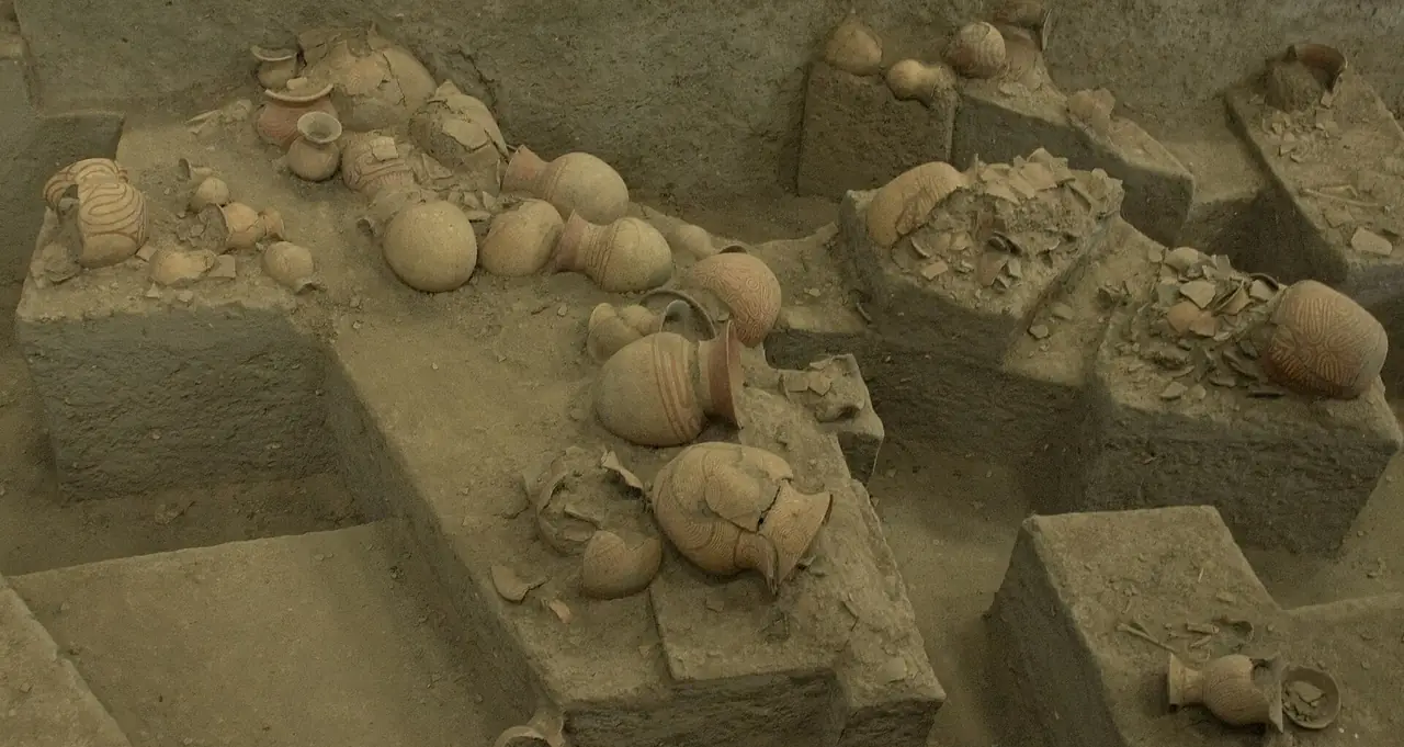
On history, English Wikipedia says the town began as a satellite of Roi Et, founded in 1865 when the Roi Et governor sent 9,000 people to settle it, and was declared a province in 1868. For the archaeology, Wikipedia and TAT agree that many Buddhist artefacts have been found, most of all at the old town of Champa Si in what is now Na Dun district, which led to the theory that an ancient kingdom of more than 1,500 years ago stood here.
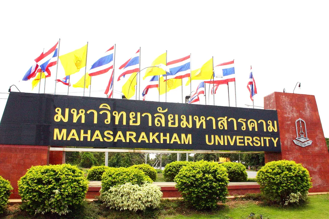
Wikipedia counts 13 districts. The provincial capital is the municipality of Maha Sarakham, home to Mahasarakham University and Rajabhat Mahasarakham University. Wikivoyage says that because it is a student town, costs for food and housing are quite low, and that the population rises and falls with the academic calendar.
Getting to Maha Sarakham
The distance depends on the source and the measuring point. Thai Wikipedia says the province is 475 km from Bangkok, while English Wikipedia says Mahasarakham University is about 470 km away. We found no official drive time, so check a map on the day.
| From | By | What the sources say |
|---|---|---|
| Bangkok, driving | Own car | Thai Wikipedia describes the route as Phahonyothin Road to Saraburi, then right onto Mittraphap Road through Nakhon Ratchasima to Khon Kaen, then right onto Chaeng Sanit Road to Maha Sarakham |
| Bangkok, bus | Coach from Mo Chit | The 12Go page showed 9 buses, THB 589 to 963, when we looked on 16 October 2026. Thai Wikipedia names operators such as Transport Co., Nakhonchai Air, Cherdchai Tour, Rung Prasert Tour and Chan Tour |
| Train | No station in the province | Thai Wikipedia says no railway crosses the province; the nearest stations are Khon Kaen (71 km) and Ban Phai (69 km) |
| Air | No airport in the province | Thai Wikipedia lists Khon Kaen (82 km), Roi Et (59 km) and Buriram (121 km) airports |
| Inside the province | Local buses | Thai Wikipedia says buses run from the town to Phayakkhaphum Phisai, Wapi Pathum, Na Dun, Na Chueak, Borabue, Kut Rang and Chiang Yuen |
The 12Go page for Bangkok to Maha Sarakham showed 9 trips when we opened it in a real browser on 16 October 2026, for Sunday 18 October and 2 travellers. All were buses, and the page header gave a range of THB 589 to 963. Two operators showed their details: Rung Prasert (from Mochit in Bangkok, about 7 h 10 min, 4 departures from 07:30, from THB 687, plus a "VIP 24" departure at 21:00 arriving 04:10 at THB 916) and Cherdchai Tour (about 8 h, arriving at Maha Sarakham Bus Terminal 2, 2 departures from 09:00, from THB 589). The same page showed two traveller reviews mentioning late arrivals. These are figures the page showed that day, not guarantees. Times and fares change, so run the search for your own date.
To reach Phra That Na Dun, Ku Santarat or the Wat Photharam mural hall you will want your own car or a hired one from town: TAT puts Phra That Na Dun 65 km from Maha Sarakham city. We did not verify whether public buses reach the site itself.
Na Dun: the relic park and the old town of Champa Si
Phra That Na Dun
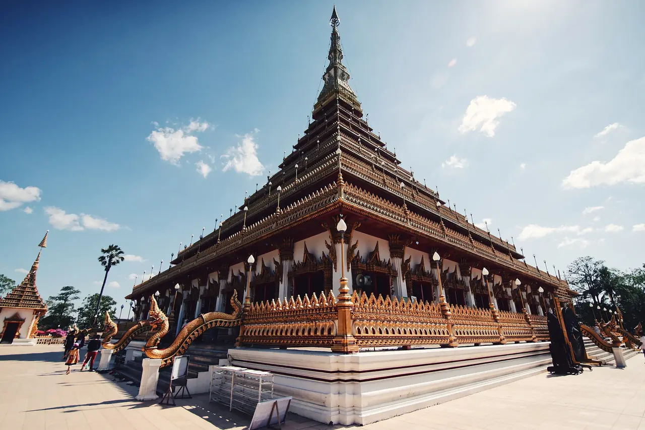
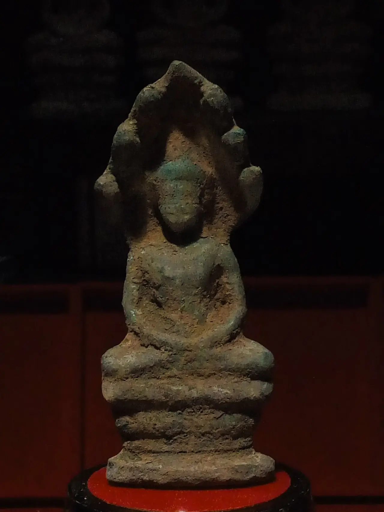
TAT says Phra That Na Dun stands at Ban Na Dun in Na Dun district on the site of an ancient town called Champa Si. Many archaeological finds, including Buddha images and amulets, are now kept at Khon Kaen National Museum. The key find was a stupa holding a relic of the Buddha inside gold, silver and bronze boxes, probably from the 8th to 10th centuries in the Dvaravati era, found inside a miniature stupa. The government therefore set up Phra That Na Dun on 365 acres in 1982 as the Buddhist centre of the region. The main stupa is 50 m high and takes the shape of the small stupa that was found.
TAT says the stupa is surrounded by a museum on Champa Si culture, antiques and art, a park, and a herb garden. TAT's route from town is highway 2040 through Kae Dam and Wapi Pathum, then right onto highway 2045 to Na Dun. Wikivoyage adds that the surrounding park is a good place for a picnic in the shade, and that a nearby replica of an ancient Isan village shows silk-making and old farm tools. That is a short entry from a Wikivoyage editor, and we could not check whether those exhibits are still open.
We found no opening hours or entry fee from an official source, so call ahead. TAT gives +66 43 797 129 on the Phra That Na Dun page.
Nakhon Champa Si Museum
TAT says the museum sits south of Phra That Na Dun. It tells the story of finding the relic, described as about the size of a broken grain of rice and off-white like moonstone, held in a brass stupa. There are also clay Dvaravati votive tablets, shown in a reproduced ancient mound, plus a map of where the brass stupa was unearthed and a video summarising the discovery. If you are short of time, see the museum first and then walk the stupa, so you know what you are looking at.
Wat Photharam and its murals
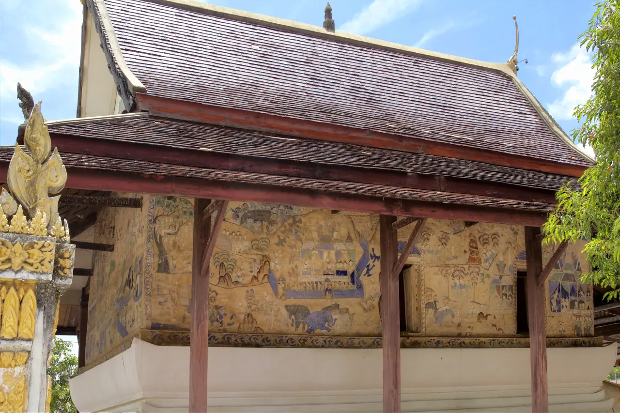
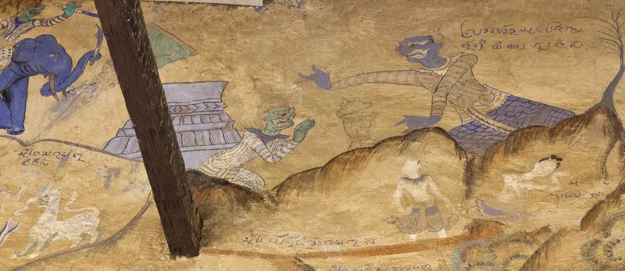
Wat Photharam is at Ban Dong Bang, Dong Bang subdistrict, Na Dun district, according to the Wikimedia Commons category. English Wikipedia says murals adorn the exterior of the hall, and a photographer's description on Commons says one wall is covered entirely with scenes from the Sinxay story. Thai Wikipedia lists the "hup taem" murals of the Wat Photharam hall among the sights of Na Dun district. Hup taem are the wall paintings of Isan ordination halls. We found no opening hours from an official source and do not know whether visitors can enter or only see the outside, so ask at the temple.
Ku Santarat and other Na Dun sights
TAT says Ku Santarat, in Ku Santarat subdistrict, is a Khmer stone sanctuary in the Bayon style from the reign of Jayavarman VII, dated 1157-1207. It is built of rectangular laterite blocks, with a wall around it and a pool outside, and has carved lintels and a door arch. TAT compares it to Ku Maha That at Ban Khwao. TAT's directions: highway 2040 via Kae Dam and Wapi Pathum, right onto highway 2045 toward Na Dun, and the ruins are on the right after about a kilometre.
Thai Wikipedia lists more Na Dun sights, among them Phutthamonthon Isan, an Isan house museum, a holy well, Ku Noi and Sala Nang Khao. We have not read official details on those, so treat the list as names to search for, not as recommendations.
TAT also has a page on the Walai Rukhavej Botanical Research Institute, east of Phra That Na Dun. It has a bamboo garden, a herb garden, an Isan cart museum, and an Isan traditional house museum showing homes of the Phu Thai, fishermen, musicians, doctors and weavers. TAT says visitors can stay overnight in the houses (tel. 0 4379 7048 or 0 4372 3539). We did not verify that they are taking guests now.
Kantharawichai and the town
Phra Phuttha Ming Mueang and Phra Yuen Mongkhon
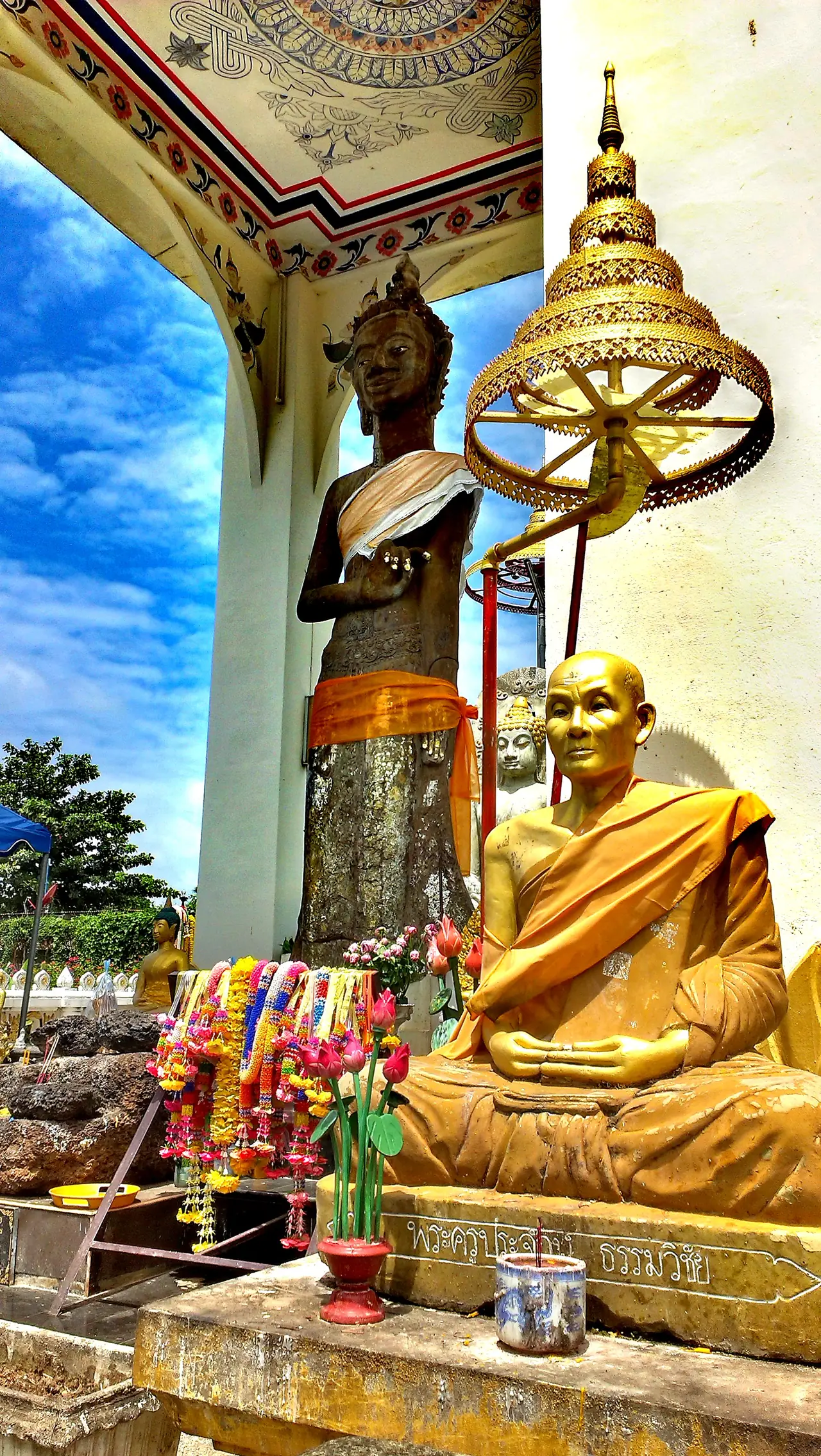
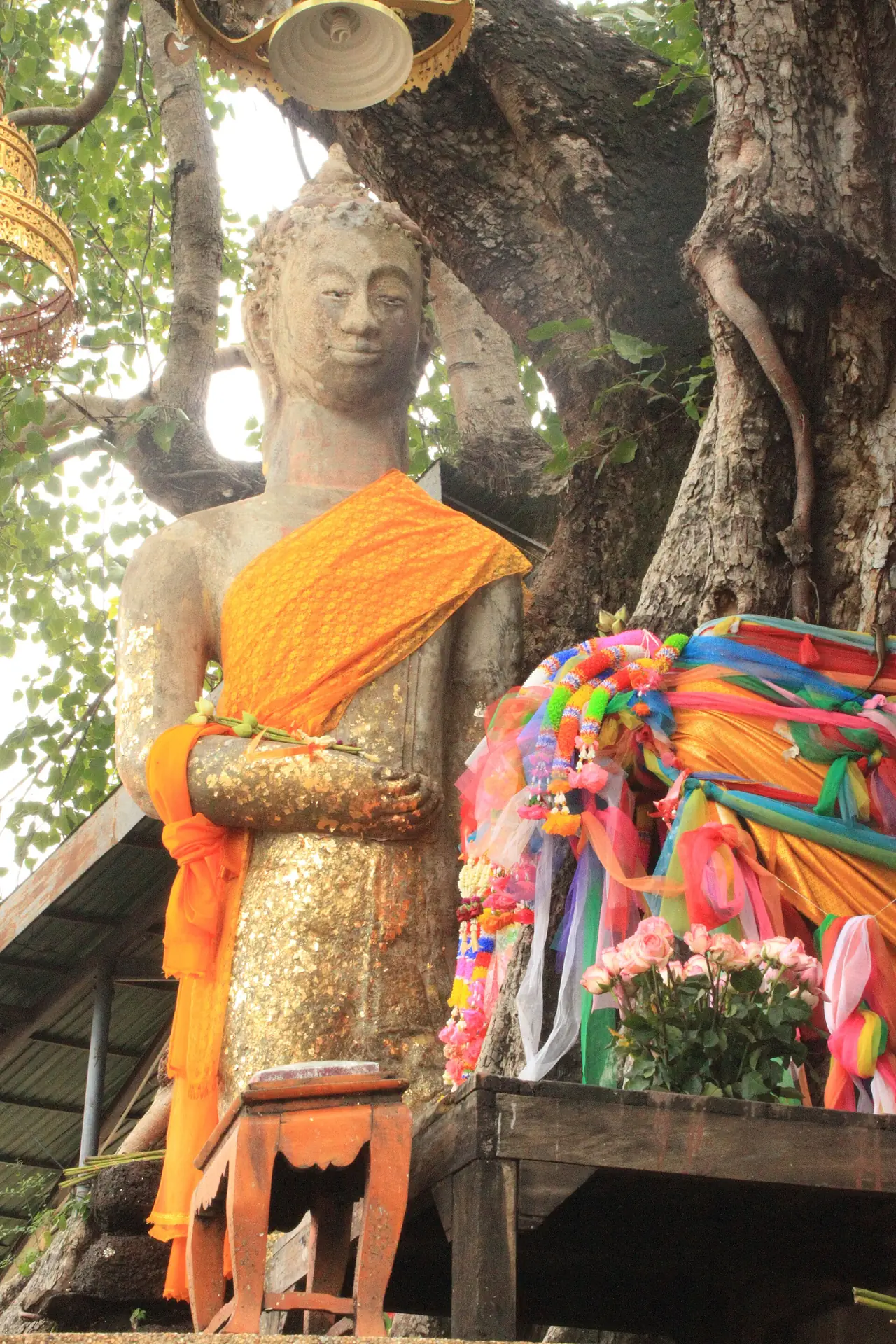
TAT describes Phra Yuen Mongkhon and Phra Ming Mueang as the province's most important Buddha images, carved in the Dvaravati style from red sandstone and believed to have power to bring rain in droughts. By legend a man carved the Ming Mueang image and a woman built the Yuen Mongkhon one. TAT puts Phra Yuen Mongkhon at Wat Phuttha Mongkhon, Khan Than Rat subdistrict, on highway 213 (Maha Sarakham to Kalasin), about 14 km from town, on the left.
Commons categories place Phra Phuttha Ming Mueang at Wat Suwannawat, Khok Phra subdistrict in Kantharawichai, and Phra Yuen, known locally as Luang Phor Phra Yuen, at Wat Ban Sa (Wat Phuttha Mongkhon). Both are in the same district, so they fit into half a day together.
Wat Mahachai and the town
TAT has a page on Wat Mahachai (Wat Nuea) in Mueang Maha Sarakham, listed as a temple and educational museum, tel. 043 754 380. Thai Wikipedia classes it as a royal temple of the third class. We did not read more about it from an official source.
TAT also lists the Ban Chiang Hian Museum in Ban Chiang Hian, Khwao subdistrict, which houses the collection of Achan Boonman Kamsa-ard. The ground floor is a contemporary art gallery, and the upper floor presents the Isan Silk Road and local history. TAT says it is open daily 8:00 to 17:00 and free. Thai Wikipedia lists a pottery village and the Ban Nong Khuean Chang handicraft village in Mueang district, and TAT names the Nong Khuen Chang handicraft village as one of the province's highlights, but we did not read opening or visiting details for either.
A university town
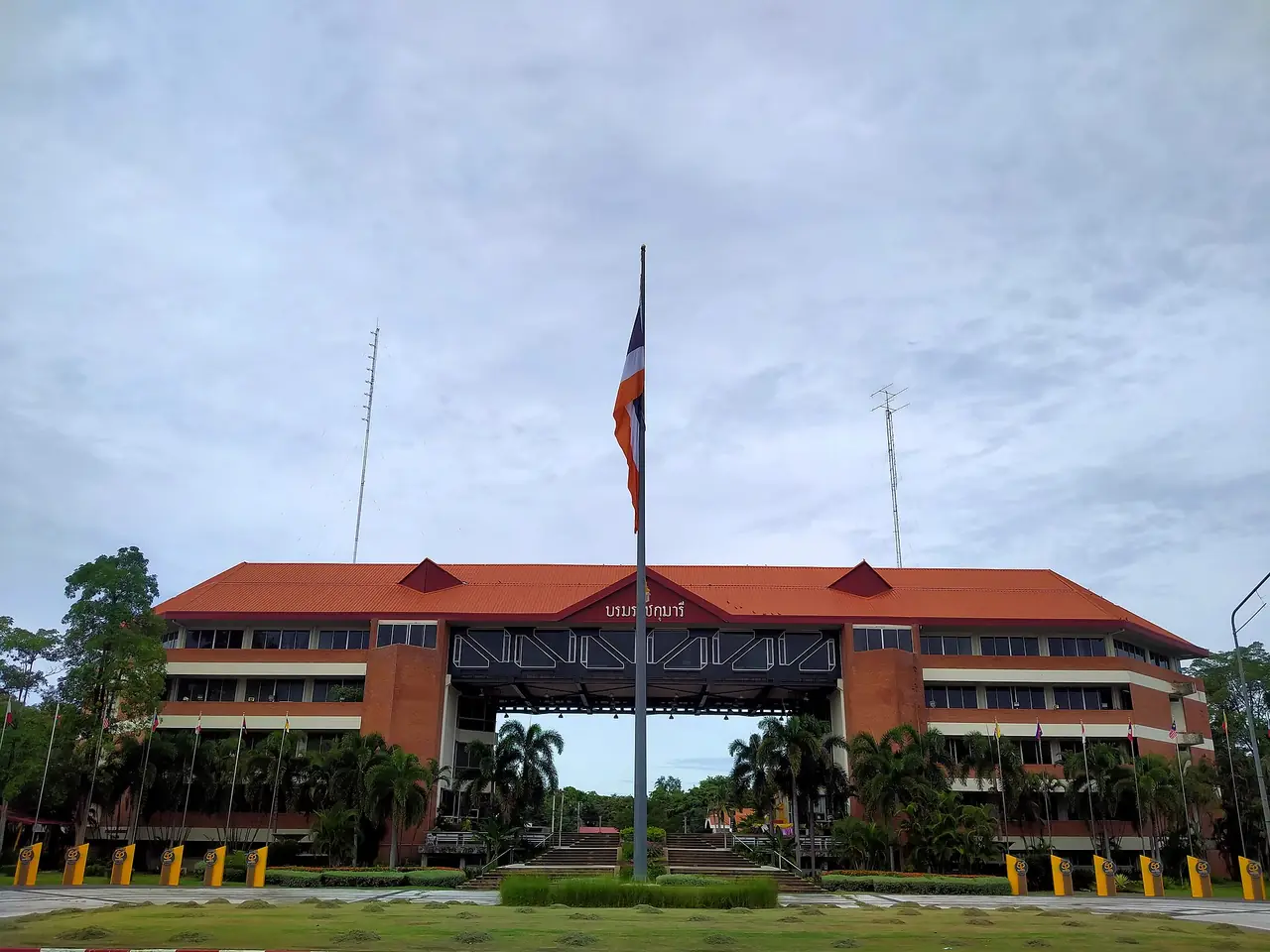
English Wikipedia gives Mahasarakham University about 41,000 students in 2017 in the province article, while the university's own article says 39,000, so these are different figures from different pages; an older Wikivoyage line says nearly 50,000. We do not settle on one number. Thai Wikipedia says the university has two sites: Kham Riang in Kantharawichai (the new campus) and Nakhon Sawan Road in Talat, Mueang district (the old campus).
The university's open-air museum is in Kham Riang. TAT describes replica Isan houses under shade trees and a small zoo behind. TAT gives opening hours as Monday to Friday, 8:30 to 16:30, with enquiries on 0 4375 4380 ext. 1384 and the site museum.msu.ac.th. Call before you go on a weekend.
Nature, water and parks
Maha Sarakham has no high mountains or large national park. The nature TAT recommends is lakes, reservoirs and small forests.
- Kae Dam Wooden Bridge: TAT describes an old wooden bridge about a kilometre long linking Ban Kae Dam with a second village, crossing a swamp full of lotus and water plants. Locals have helped repair it, and it is popular with photographers. We found no official lotus season.
- Kaeng Leng Chan: TAT says this large reservoir lies behind Rajabhat Mahasarakham University, about 3 km from town, near a fishery station that breeds freshwater fish.
- Khong Kut Wai Fish Sanctuary: 10 km from town according to TAT, with more than 100 freshwater fish species; visitors feed the fish.
- Bueng Bon, Kosum Phisai: TAT says it is a lake ringed by trees, about 2.5 m deep and 48 acres, good for picnics, about 28 km from town on highway 208.
- Kosumpisai Forest Park ("Monkey Lake"): English Wikipedia says it starts about 500 m from the district centre, covers about 175 rai (28 hectares) of wetland forest along the Chi, and holds more than 1,000 semi-tame long-tail macaques. The area was announced as a forest park in 2020. Ask about the local rules before feeding or approaching monkeys.
- Dun Lamphan No-Hunting Area (Chulabhon Forest Park): TAT places it in Na Chueak district, about 60 km from town, with dry dipterocarp and peat swamp forest. The endemic crab Thaipotamon chulabhon lives here and is protected. It suits bird watching. Tel. 08 5463 6348.
For the Isan midpoint, TAT lists "Sadue Isan" (navel of Isan) among the province highlights, and Thai Wikipedia places it at Ban Bueng Kui in Kosum Phisai district. We did not read TAT's page on it, so check the access before you go.
When to go
We found no official source summarising the tourist season in Maha Sarakham. Thai Wikipedia says the climate is tropical monsoon, with rain alternating with dry weather. For 2012, the year it quotes, mean monthly rainfall was 118.1 mm, with the wettest figure 414.9 mm in May and a top temperature of 39.3 degrees C in April. That is one year of data, so it is only a rough picture. If you dislike extreme heat and plan to walk outdoors at Phra That Na Dun or Ku Santarat, April looks the hardest month.
The other thing to know is the university calendar. Wikivoyage says the town's population waxes and wanes with the semesters, so cafes and shops near the campus can be quieter in term breaks. The university museum opens on weekdays only.
A two-day plan
This plan only orders places by location as the sources give it, not by anyone else's itinerary, and we did not check drive times between them.
- Day 1, town and Kantharawichai: Morning at the university's open-air museum in Kham Riang (weekdays), then Phra Phuttha Ming Mueang and Phra Yuen Mongkhon on highway 213. Afternoon back in town for Wat Mahachai and the Ban Chiang Hian Museum, and the Kaeng Leng Chan reservoir at dusk.
- Day 2, Na Dun: Leave early for the 65 km south. Start with the Nakhon Champa Si Museum, then Phra That Na Dun, then Ku Santarat. If time allows, ask about the Wat Photharam murals before driving back.
- A third day: Bueng Bon and the Kosum Phisai forest park to the north, or the Kae Dam wooden bridge.
Where to stay in Maha Sarakham
We looked for official hotel websites in Maha Sarakham that we could read and quote, and found none we could check. TAT's accommodation list for the province names several places but does not link to their own sites, and the domain names we tried did not lead to working sites. So this page carries no hotel names or prices, and we will add a stay page when at least 8 hotels pass the check. Use the TAT accommodation list to look further, and check each property's own website before booking.
What we can say about areas, from the sources:
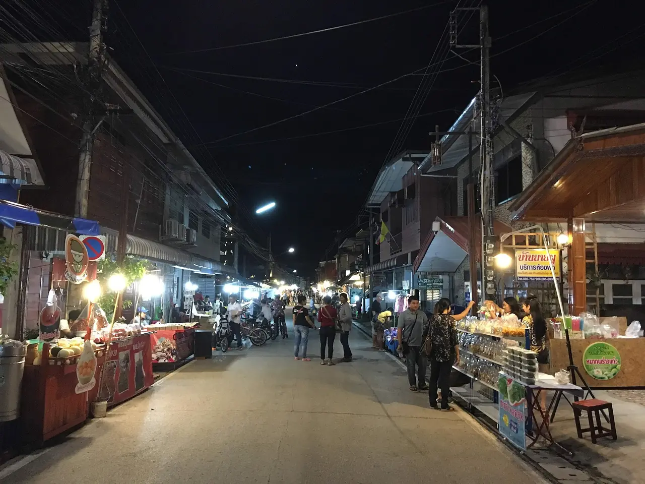
- In Maha Sarakham town (Talat): Wikivoyage describes the centre as having the bus station, a shopping plaza and street food, with songthaews, motorcycle taxis and tuk-tuks for getting around. It suits visitors who arrive by coach without a car.
- Near the university at Kham Riang: Wikivoyage places it about 8 km north of town on highway 213. It suits anyone whose main plans are the open-air museum and Kantharawichai.
- Towards Na Dun: we found no verifiable lodging data, apart from the overnight houses at the Walai Rukhavej institute that TAT mentions. For a day trip to Phra That Na Dun, stay in Maha Sarakham town and drive south.
Nearby destinations
- Khon Kaen: the larger city to the west, with the nearest train station and airport according to Wikipedia.
- Roi Et: the province Maha Sarakham was split from in 1865, with an airport about 59 km away.
- Surin: to the south, and the gateway to the Khmer sanctuaries.
- Buriram: to the southwest, home of Phanom Rung, covered in the Phanom Rung and Phimai guide.
- Nakhon Ratchasima: the gateway to Isan on the Mittraphap road you drive from Bangkok.
- Udon Thani: the bigger city in the north of the region.
- Isan overview and the Isan travel guide
- Bangkok: the starting point, about 470-475 km away.
- Thailand overview
Frequently asked questions
Which region is Maha Sarakham in
Wikipedia places it in central Isan, bordering Kalasin, Roi Et, Surin, Buriram and Khon Kaen.
How far is Maha Sarakham from Bangkok
Thai Wikipedia gives 475 km, and English Wikipedia gives about 470 km to Mahasarakham University. We found no official drive time, so check a map on the day.
Can I get to Maha Sarakham by bus from Bangkok
Yes. The 12Go page we opened on 16 October 2026 showed 9 buses from THB 589 to 963, with Rung Prasert and Cherdchai Tour as the operators we saw, and trip times of about 7 to 8 hours as shown on the page. Fares and times change.
Is there a train or an airport in Maha Sarakham
No. Thai Wikipedia says the nearest stations are Khon Kaen and Ban Phai, and the nearest airports are Roi Et (59 km), Khon Kaen (82 km) and Buriram (121 km).
How many days do I need
Two days covers Phra That Na Dun, the Ming Mueang and Yuen Mongkhon images and the town. A third day adds Bueng Bon and the Kosum Phisai forest park.
How far is Phra That Na Dun from town
TAT says 65 km from Maha Sarakham city. TAT's route is highway 2040 via Kae Dam and Wapi Pathum, then right onto highway 2045. Wikivoyage says about 90 minutes, as a short entry without a stated mode of travel.
When is the Mahasarakham University museum open
TAT lists Monday to Friday, 8:30 to 16:30. Check again on 0 4375 4380 ext. 1384 before you go.
Are there hotels listed for Maha Sarakham
There are places in TAT's list, but we could not find official hotel websites that we can read and cite, so this page names none. Check each hotel's own website before booking.
Why is Maha Sarakham called Taxila
Thai Wikipedia records the nickname "Takasila" for the city of learning in Isan, because of its many schools and universities, and Wikivoyage explains Taxila as an ancient centre of learning in India.
Official sources and further reading
- Maha Sarakham (TAT)
- Phrathat Na Dun (TAT)
- Nakhon Champa Si Museum (TAT)
- Ku Santarat (TAT)
- Phra Buddha Ming Mueang, Suwan Mali Buddha Image (TAT)
- Phra Yuen Mongkhon Buddha Image (TAT)
- Kae Dam Wooden Bridge (TAT)
- Maha Sarakham University Museum (TAT)
- Ban Chiang Hian Museum (TAT)
- Kaeng Leng Chan (TAT)
- Bueng Bon (TAT)
- Khong Kut Wai Fish Sanctuary (TAT)
- Chulabhon Forest Park or Dun Lamphan No-Hunting Area (TAT)
- Walai Rukhavej Botanical Research Institute (TAT)
- Maha Sarakham province (Wikipedia, English)
- Maha Sarakham province (Wikipedia, Thai)
- Na Dun district (Wikipedia, English)
- Kosum Phisai district (Wikipedia, English)
- Mahasarakham University (Wikipedia, English)
- Maha Sarakham (Wikivoyage)
- 12Go: Bangkok to Maha Sarakham
Prices, schedules and entry rules change. Figures here are approximate as of 2026; always confirm on the official or operator page before you book. Spotted something out of date? Tell us.