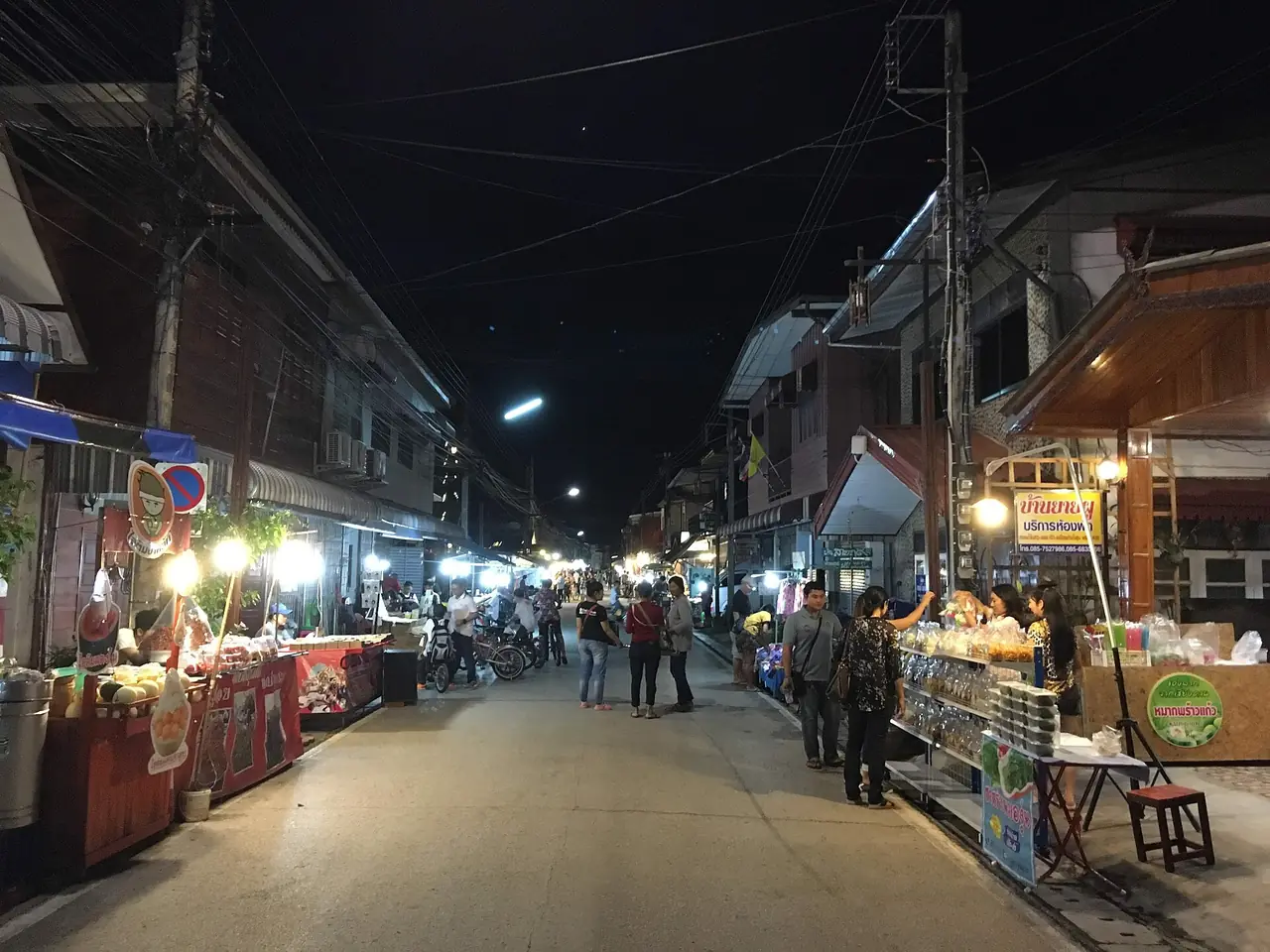
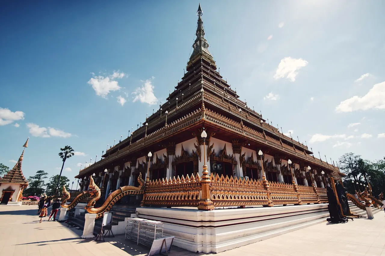
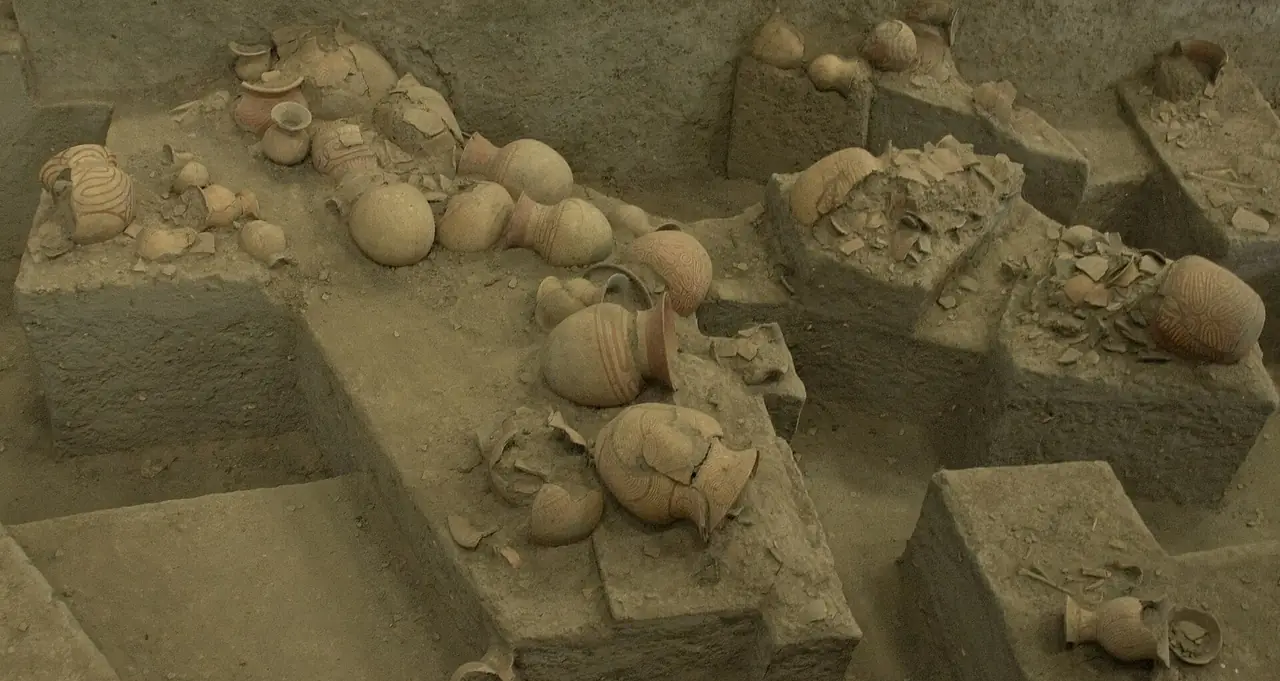
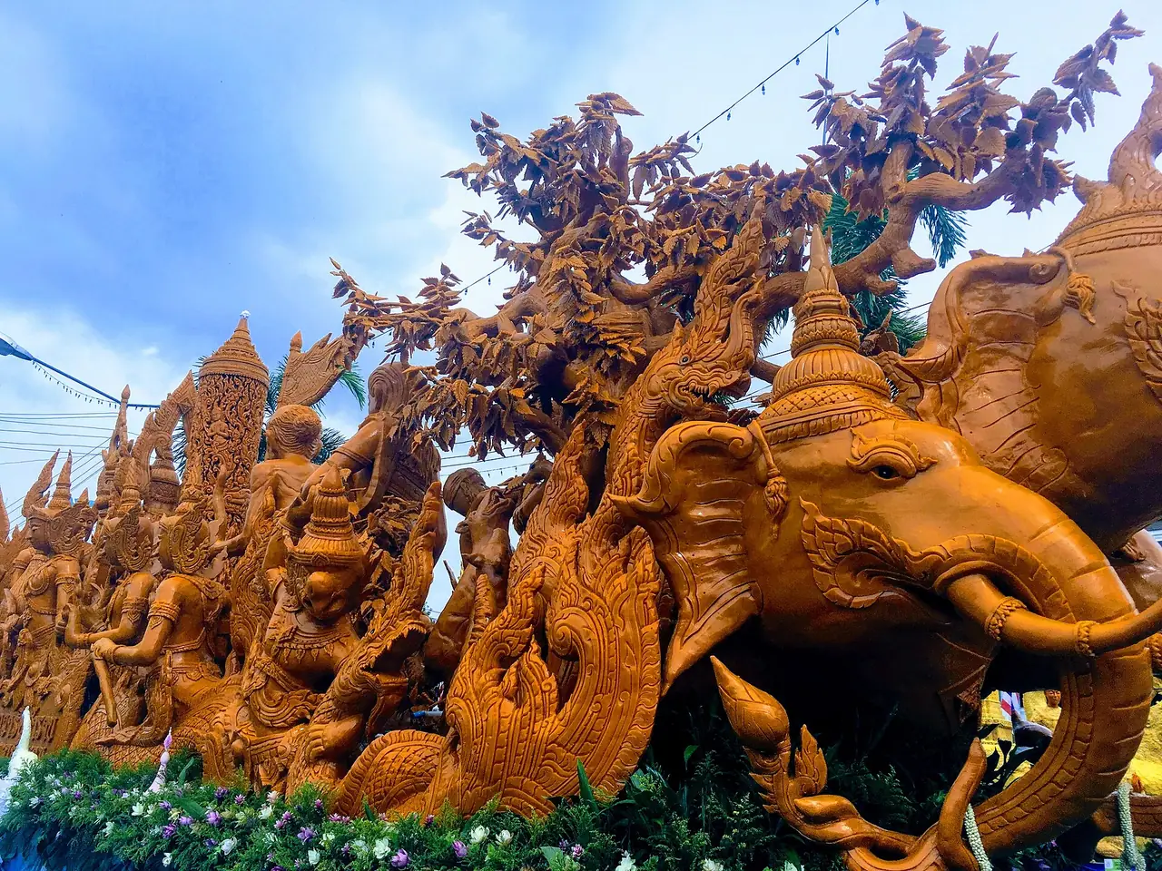
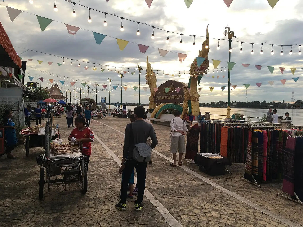
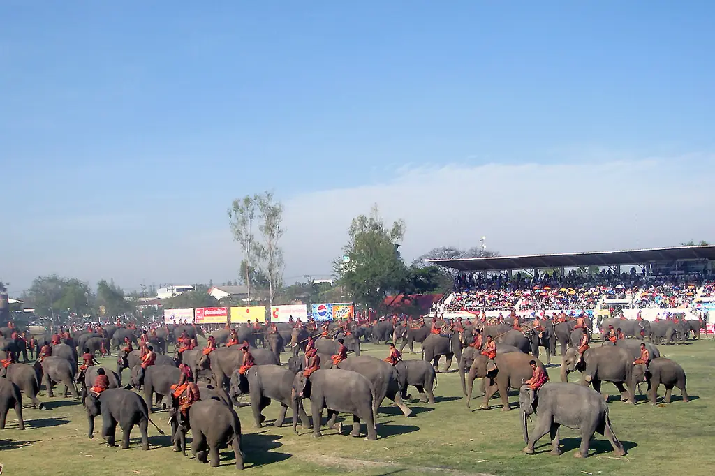
Kalasin is a province in central to upper Isaan whose name means "black water", according to Wikipedia. It is known for the dinosaur fossils at Phu Kum Khao, Phrae Wa silk woven by the Phu Thai people, and the pong lang, a wooden xylophone that Kalasin musicians helped shape. There is no beach and no famous high peak. What you get instead is Thailand's first dinosaur museum, a Dvaravati-era moated city with two rings of earthworks, a reservoir that cuts the north of the province in half, and the Phu Phan hills along the border with Sakon Nakhon.
This guide uses only what we checked on 16 October 2026 against the sources listed at the bottom: English and Thai Wikipedia, Wikivoyage, and the 12Go page we opened in a browser. Where sources disagree we show both numbers. We leave out entry fees and opening hours because we have not confirmed them with the places themselves, and the Tourism Authority of Thailand site blocked our automated reading, so nothing here comes from it. We also have no hotel names to give you yet; the where-to-stay section explains why.
What kind of place is Kalasin?
Thai Wikipedia says the town was founded in 1793 (BE 2336) by Chao Somphamit, who crossed from the left bank of the Mekong and settled on the Pao River. The king named it Mueang Kalasin, meaning a town with fertile waters; kala is "black" and sin is "water". Somphamit became the first Phraya Chaisunthon. English Wikipedia says the province came into being under the law of 1 October 1947 and had been folded into Maha Sarakham for 16 years before that. The Thai article puts the demotion on 18 February 1931 while the English one says 1932, so treat the year as approximate.
The province covers about 6,946.75 square kilometres in 18 districts, per Thai Wikipedia, and borders Sakon Nakhon, Udon Thani, Mukdahan, Roi Et, Maha Sarakham and Khon Kaen. Kalasin town sits at about 152 metres above sea level, and Wikivoyage gives the town a population of about 34,000 (2015). The town is small enough to see its main temples in half a day, but the best sights lie in outer districts, so plan on a car or a hired driver. Thai Wikipedia gives 919,202 visitors for the province in 2023.
Getting to Kalasin
Thai Wikipedia says Kalasin relies on road transport and has no rail service in the province. The main highways are numbers 12, 213, 214, 227 and 299. Wikivoyage describes the drive from Bangkok as Highway 2 through Saraburi and Korat to Ban Phai in Khon Kaen, then Highways 23 and 213 and Highway 209 from Maha Sarakham to Kalasin.
| From | By | What the sources say |
|---|---|---|
| Bangkok | Driving | Thai Wikipedia and Wikivoyage both give about 519 km |
| Bangkok | Direct bus | Wikivoyage says Transport Co. runs air-conditioned and ordinary buses daily from Mo Chit 2; 12Go lists operators and times (see the booking section) |
| Bangkok | Train plus bus | Wikivoyage suggests the train to Khon Kaen, then a bus of about 75 km to Kalasin, with minivans from Khon Kaen bus station taking about an hour |
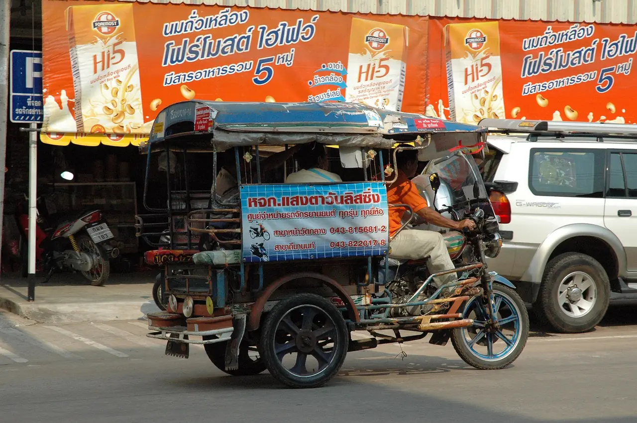
| Around town | Tuk-tuk, rickshaw | Wikivoyage says to agree the fare before you get in |
The minivan fare Wikivoyage quotes from Khon Kaen is old and we did not check it, so we do not repeat it. Check train times with the State Railway of Thailand. We found no commercial airport in the province in our sources, so if you fly, plan a road transfer from a neighbouring province and check flights with the airline directly.
Booking transport
The Bangkok to Kalasin page on 12Go showed the following when we opened it in a browser on 16 October 2026 for 18 October and two travellers: 15 trips from THB 565 to THB 17,850. That was 3 buses from THB 565 and 12 taxis from THB 6,296. The buses we saw were Transport Co. from Mo Chit, about 12 hours 54 minutes, and Nakhonchai Air, about 7 hours 50 minutes to 8 hours 5 minutes. The taxi operators were Than Car Service (about 5 hours 55 minutes), Glassflower and Thailand Limo by Datum. A schedule table lower on the same page listed lower bus fares than the headline figures, and the page states a distance of 296 km, which does not match the 519 km in Wikipedia, so treat the page as one snapshot, not a guarantee. We saw no train or flight on it. Fares change with the date and seats. Some links on this site may earn us a commission, which does not change what you pay. Before you pay, recheck the boarding point, departure time and operator.
There is no railway in the province and the road trip from Bangkok takes many hours. If time matters, look at taxis or a private car, and allow extra time to reach the museum or the ancient city, which are outside Kalasin town.
Seasons and annual events
We found no temperature or rainfall figures for Kalasin in our sources, so we will not name a best month. Check the Thai Meteorological Department forecast for your dates, and pick clear days for outdoor sights such as Fa Daet and the dam. What the sources do give is events by month. Wikivoyage lists the Kalasin Pong Lang, Phrae Wa and Red Cross Fair each February in front of city hall, the Wichit Phrae Wa Silk Festival on 12 August, a bathing ceremony for a reclining Buddha relief at Phu Khao in April, and people climbing to Tham Phra cave to pour water on the Buddha image at Songkran. Wikivoyage can be dated, so confirm this year's dates with the province before planning around any of them.
Sirindhorn Museum and the Phu Kum Khao dinosaur site
Most visitors come for the Sirindhorn Museum, formally the Phu Kum Khao Dinosaur Research Centre and Museum, on Phu Kum Khao in Non Buri subdistrict, Sahatsakhan district. Thai Wikipedia calls it Thailand's first dinosaur museum. The hill is an isolated rise of about 300 metres. Fossils were first found in 1994 by the abbot of Wat Sakkawan, and the Department of Mineral Resources began systematic digging late that year. The museum took its name from Princess Maha Chakri Sirindhorn, and English Wikipedia says she presided over its opening in December 1998.
The numbers differ between sources. Thai Wikipedia says more than 700 bones came from Early Cretaceous rock about 130 million years old, from at least seven plant-eating dinosaurs, plus teeth from two plant-eaters and two meat-eaters. English Wikipedia gives about 120 million years and says most fossils are sauropods. Thai Wikipedia names the genus Phuwiangosaurus sirindhornae. Wikivoyage also gives more than 700 bones from seven dinosaurs and calls it one of the largest concentrations in Thailand. The site was registered as a protected fossil site on 7 October 2014.
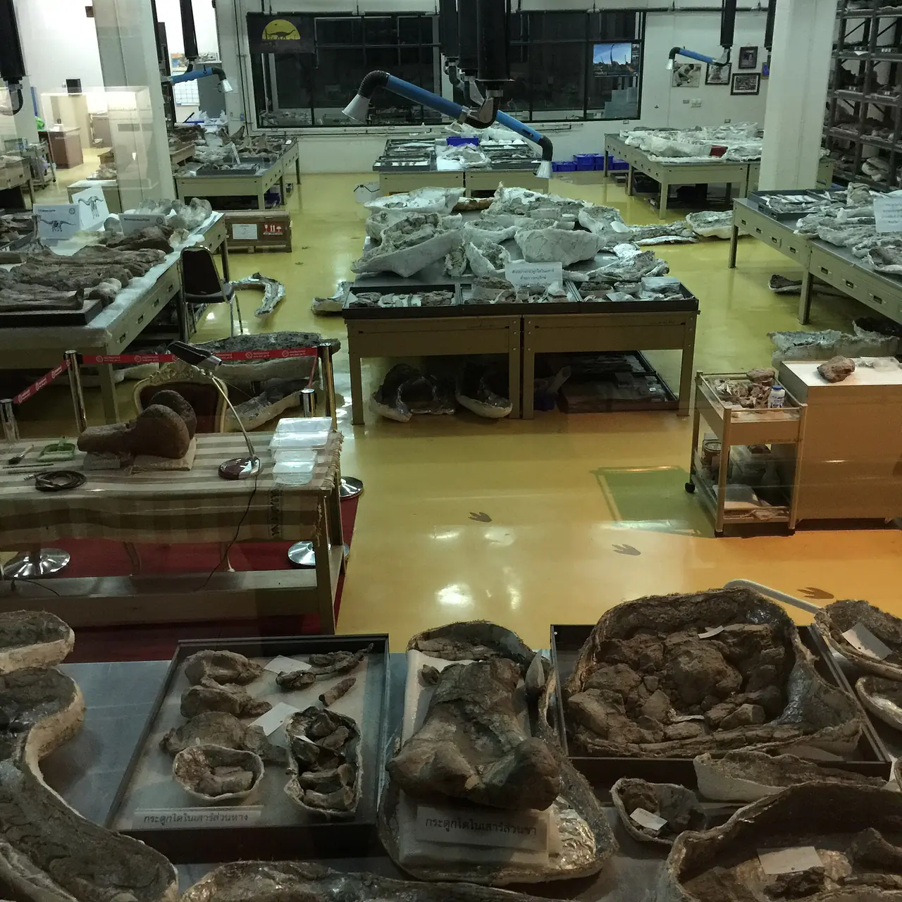
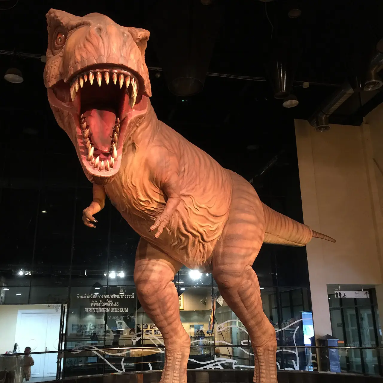
Inside, English Wikipedia says the museum has eight exhibition zones, from the origin of the Earth and universe through the origin of life, the Palaeozoic and Mesozoic eras, dinosaurs in Thailand, the Cenozoic and human beings. The big dinosaur in our photo is a model. We have not confirmed opening hours, closing days or ticket prices with the Department of Mineral Resources, so check before you go. Sahatsakhan is also a handy place to stop between Kalasin town and Maha Sarakham or Mukdahan.
Mueang Fa Daet Song Yang and Phra That Yakhu
Mueang Fa Daet Song Yang lies in Kamalasai district on the Pao River. English Wikipedia calls it the largest moated site on the Khorat Plateau, covering about 171 hectares. Thai Wikipedia describes a layout 1,000 metres wide and 1,800 metres long with a double moat and earthen banks about 2 to 3 metres high. The two figures measure differently, so use them as a general picture. Excavations show people lived here from about 2,200 years ago, and the city flourished most in the Dvaravati period, roughly the 12th to 16th centuries BE. The Thai article estimates about 3,000 residents then.
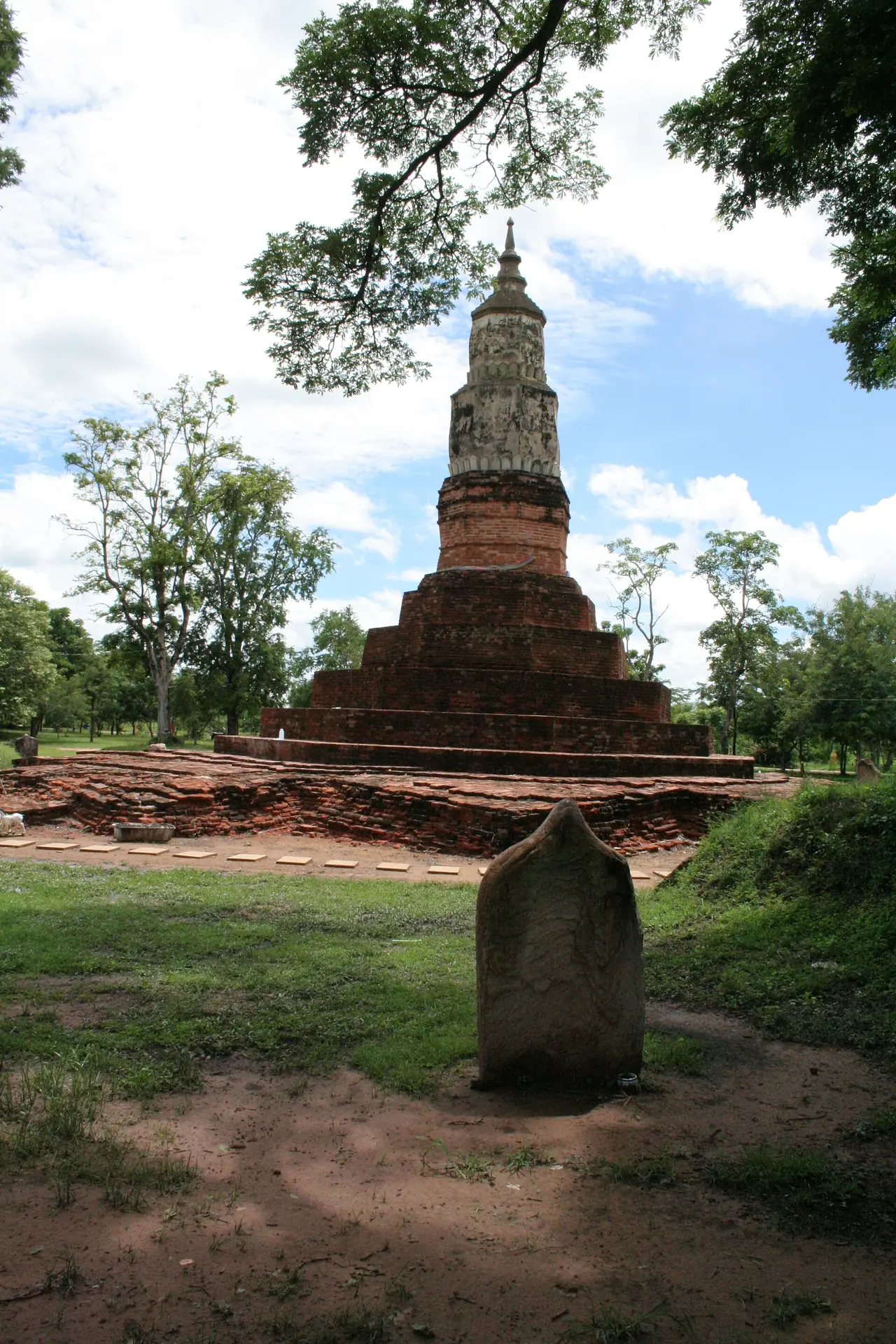
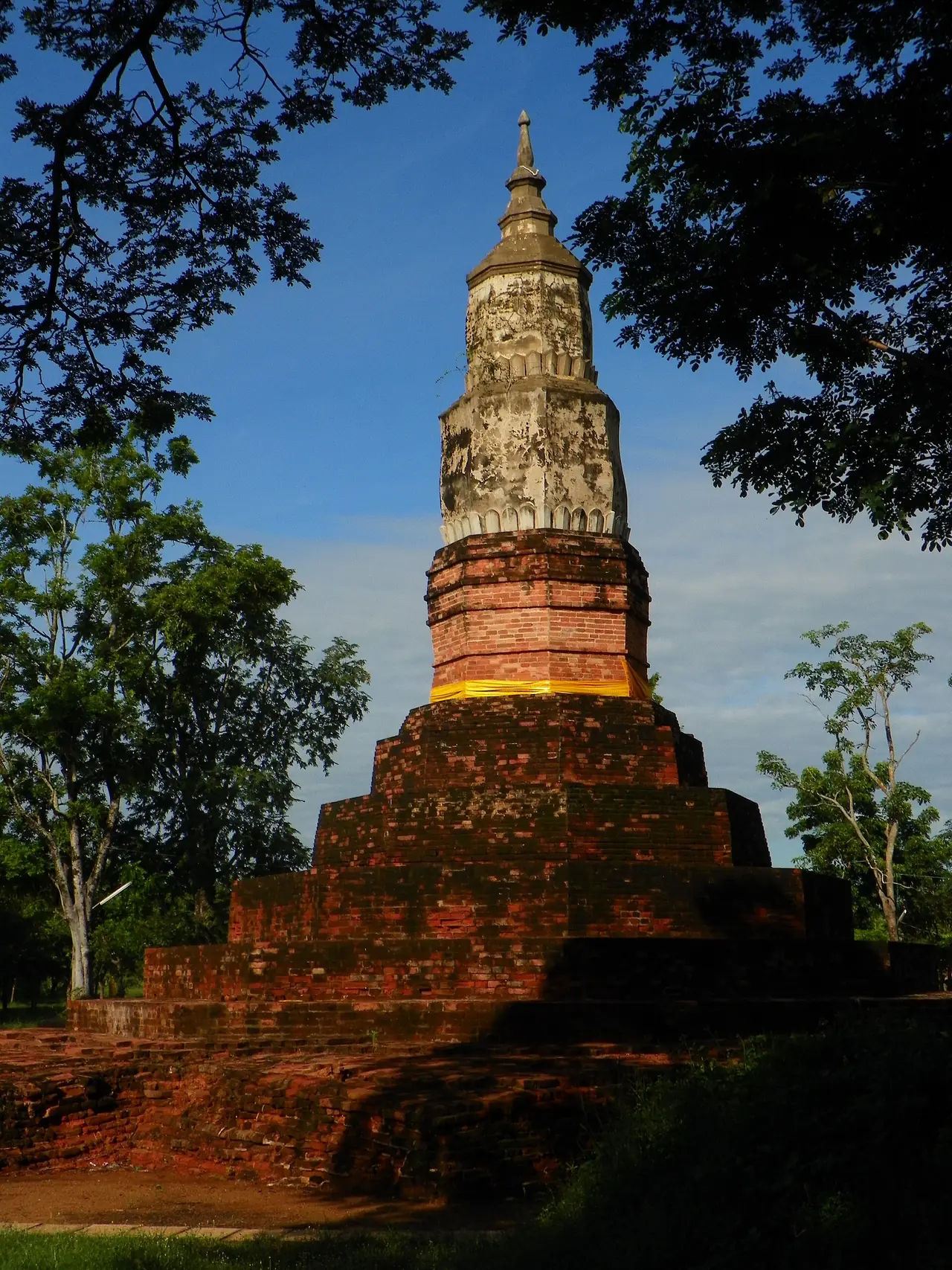
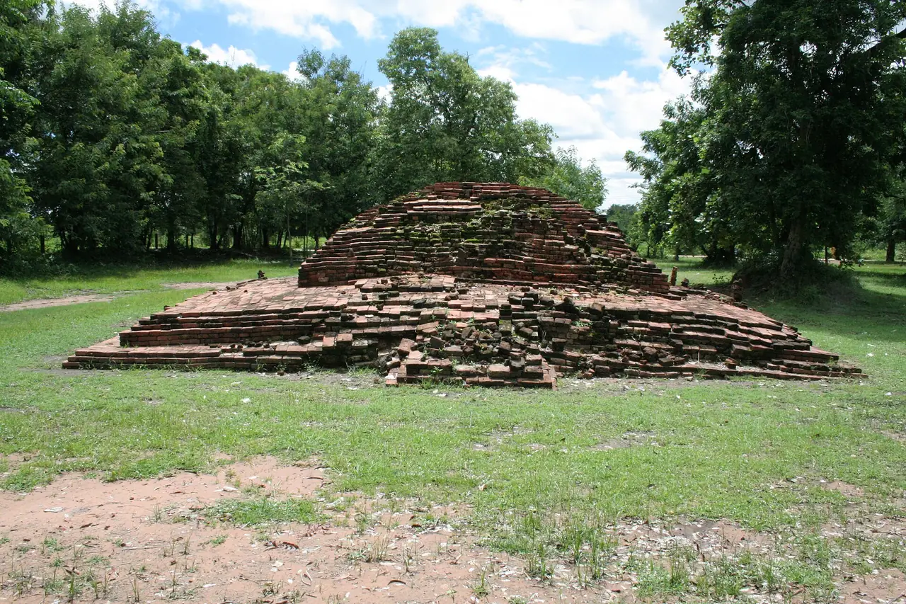
Phra That Yakhu stands north of the ancient city in Nong Paen subdistrict. Thai Wikipedia says it has a square brick base with indented corners, built of large unmortared bricks in Dvaravati style, topped by an octagonal base and an Ayutthaya-style chedi built over it, restored in the Rattanakosin period. It is about 15 metres high and 16 metres wide. The Fine Arts Department excavated and restored it between 1967 and 1979, and it was registered as an ancient monument on 29 November 2002. Villagers say it holds the ashes of a monk called Yakhu Ngom, but the dig suggests it dates from Dvaravati times, so that story does not fit. English Wikipedia says the chedi is the province's logo and landmark.
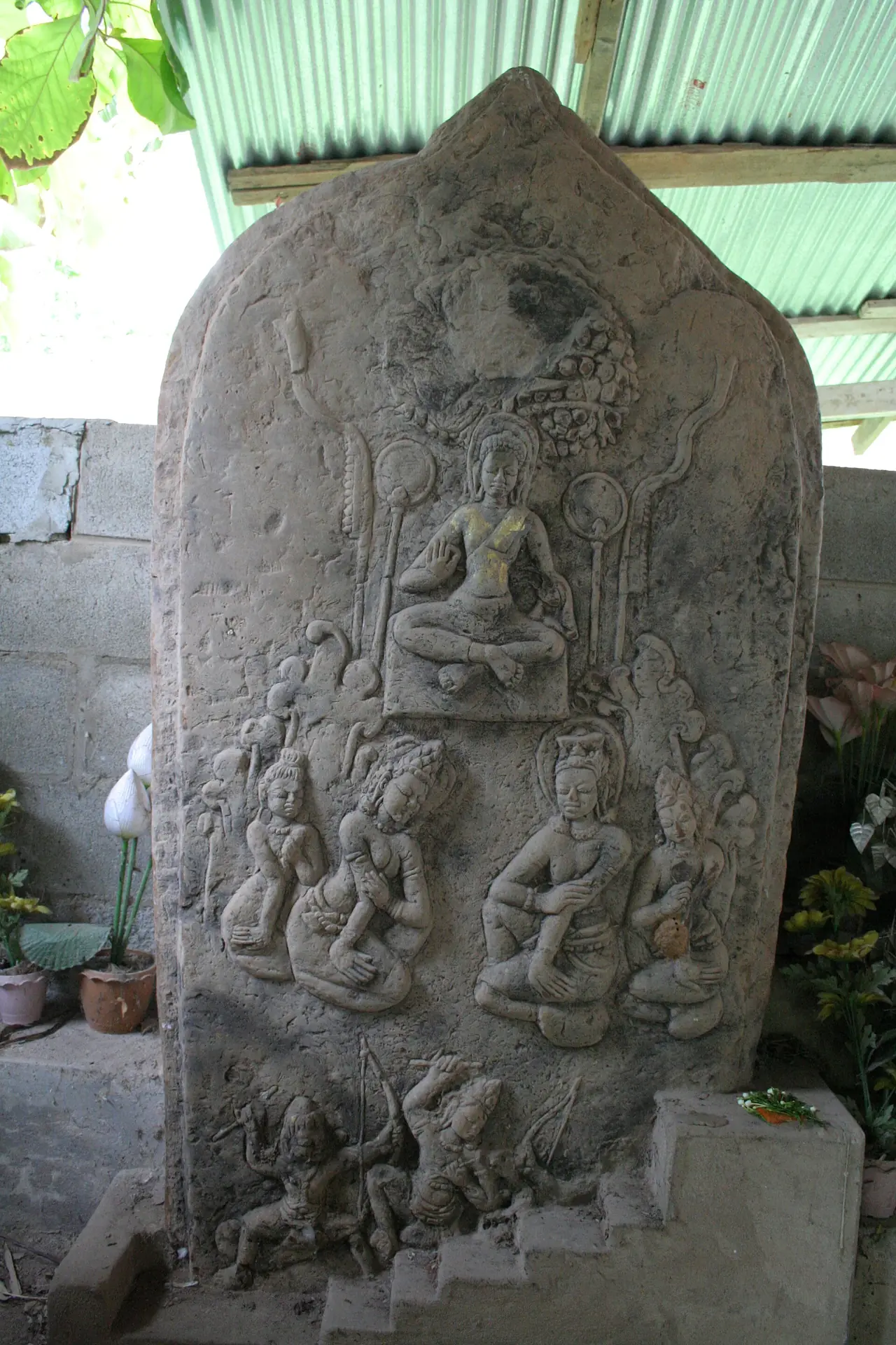
Sandstone boundary stones are what the city is most famous for. Thai Wikipedia says 130 are registered with the Fine Arts Department, while English Wikipedia says the site has an ubosot and more than 170 sema stones. We do not know why the two counts differ. Some carvings show Jataka scenes and one shows the Buddha beside Indra and Brahma. Wikivoyage says Wat Pho Chai Semaram (Wat Ban Kom) holds many large old stones, and Wat Si Bun Rueang (Wat Nuea) in town keeps one of the most beautiful, with flying angels over a palace and a king and queen below. We did not check visiting hours, so ask before you go and dress modestly.
Lam Pao Dam and the waterside
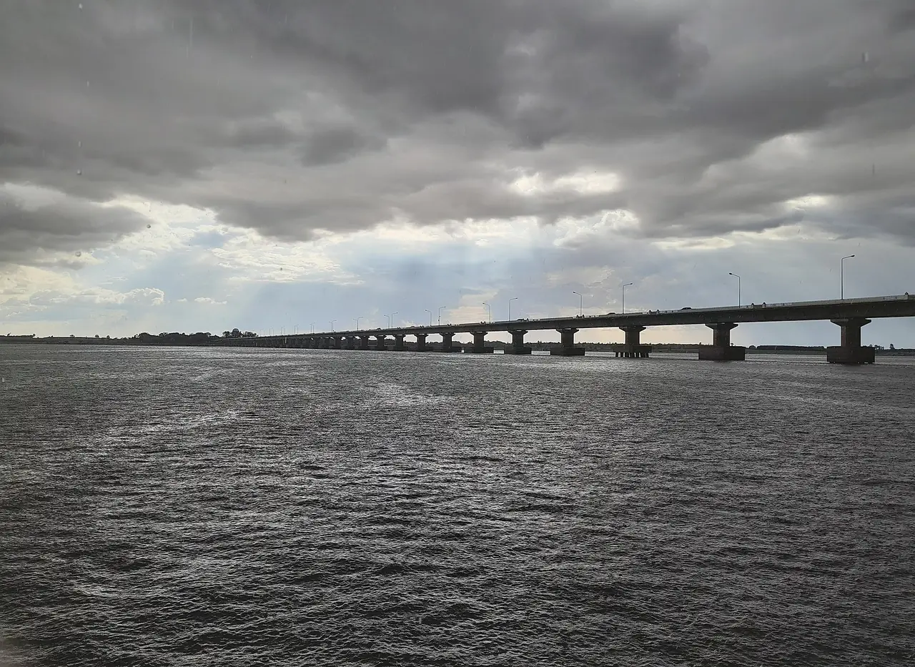
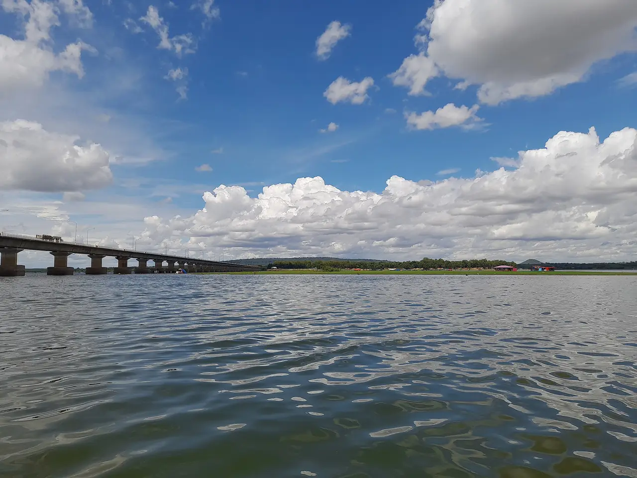
Lam Pao Dam is about 36 kilometres from Kalasin town, according to Thai Wikipedia. It was built from 1963 to 1968 across the Pao River and the Huai Yang for flood control and farming. English Wikipedia says it stores 1,430 million cubic metres and that the reservoir cuts the north of the province in half. The 2.4-kilometre Thesuda Bridge, built in 2006, links Sahatsakhan on the east side with Nong Kung Si on the west and saves up to an hour on the old road.
Thai Wikipedia describes Dok Ked beach on the east bank, near the Lam Pao irrigation project guest house, as a sloping lawn area with shaded pavilions. It takes the name from the screw pine trees planted in clumps. We have not checked access times, costs, boat rides or food stalls on the shore, so ask the irrigation project or local operators first.
In Mueang Kalasin district, Wikivoyage lists the Lam Pao Wildlife Conservation Development and Promotion Station, also called Suan Sa-on, a dry dipterocarp forest with an open zoo and nature trails. Thai Wikipedia calls it the only station of its kind in the province, about 1,500 rai, and says the Lam Pao no-hunting area covers a little over 200,000 rai, mostly the dam's water.
Phu Phan, Pha Sawoei and the hills
The Phu Phan range forms the boundary with Sakon Nakhon. English Wikipedia gives Phu Phan National Park as 665 square kilometres, Thai Wikipedia as 664.70, and says the Kalasin part lies in Somdet and Huai Phueng districts, about 57,500 rai. Phu Pha Lek National Park is 404 square kilometres and also reaches into Kham Muang and Somdet. The province also has Phu Si Than Wildlife Sanctuary in Kuchinarai and Khao Wong, and forest parks at Phu Phra, Phu Faek and Phu Pha Wua, per the Thai Wikipedia list.
Pha Sawoei is a cliff at the Kalasin and Sakon Nakhon boundary. Thai Wikipedia says that in 1955 King Bhumibol and Queen Sirikit visited Somdet district and ate lunch at the cliff, which gave it its name. Wikivoyage describes caves and cliffs in Phu Phra Forest Park, such as Tham Phra Rot, Tham Siam Sap and Pha Hin Yaek, and says Phu Faek Forest Park in Na Khu has four dinosaur footprints you can see clearly. English Wikipedia says the Phu Faek footprints were found in 1996. Wikivoyage also mentions Pha Nang Khoi and Tat Thong waterfalls. We have not checked roads, entry fees or when the waterfalls run, so treat this as a list of what exists, not route advice.
Phrae Wa silk and pong lang
Thai Wikipedia describes Phrae Wa as a handwoven cloth that identifies the Phu Thai people, made with khit and jok techniques. A piece is about one wa, or one arm span, long and is worn over the shoulder or as a sash at merit-making festivals. It also says a Phu Thai girl traditionally sews a black blouse, weaves a Phrae Wa and makes a silk skirt. Wikivoyage says the Ban Phon Phrae Wa weaving group divides patterns into a main pattern and a striped one. Thai Wikipedia names Khamson Sathong, leader of a Phrae Wa weaving group, as a National Artist in visual arts for 2016. We have not checked prices, opening hours or whether you need to call ahead.
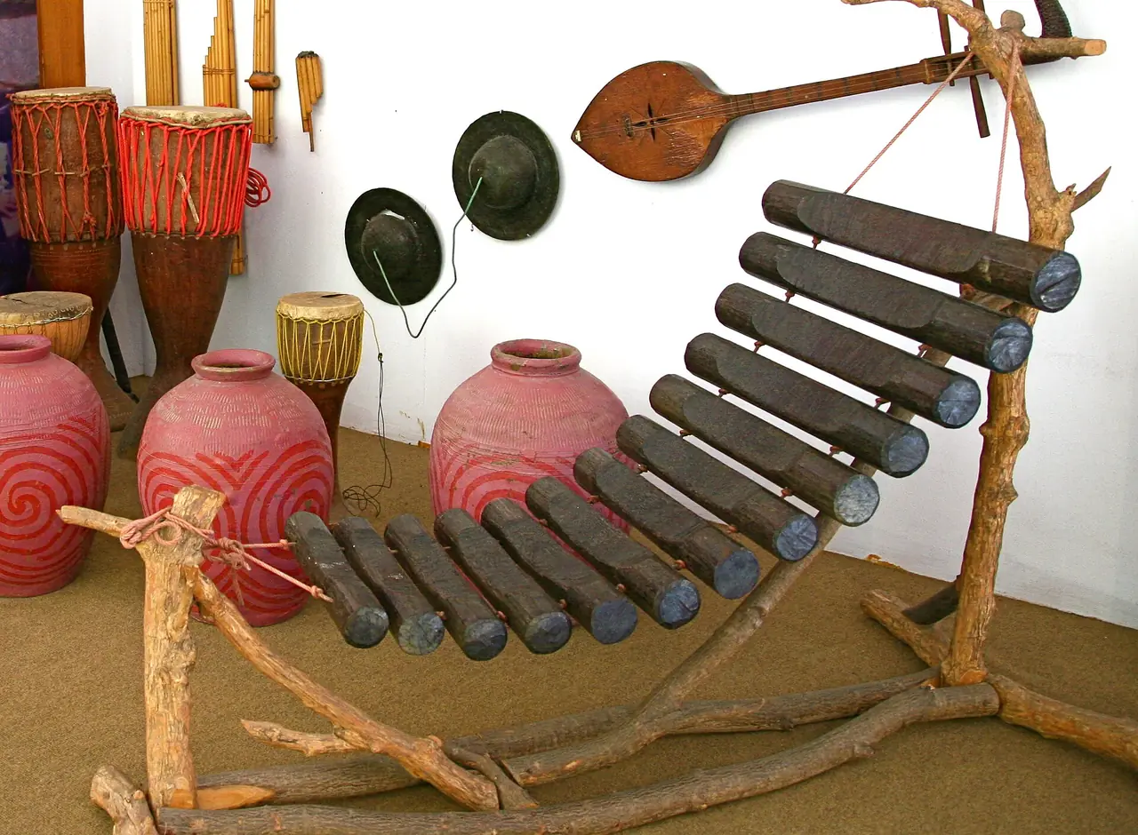
The pong lang is an Isaan percussion instrument that carries the melody. Thai Wikipedia says it developed from the kraw lo, and credits Plueang Chairatsami, a Kalasin man named National Artist in performing arts (folk music) in 1986, with giving it its modern form. Wikivoyage says his house has a farmer's hut used as a folk music school, with instruments such as the phin, khaen, so and pong lang. The provincial slogan itself mentions the pong lang and Phrae Wa silk.
In Kalasin town
Wikivoyage lists several places in and around town: the monument to Phraya Chaisunthon (Chao Somphamit), Wat Klang with a black bronze Buddha that locals carried in procession during droughts, the Kalasin Museum, Phutthasathan Phu Po with two Dvaravati reclining Buddha images carved on a cliff, Phutthasathan Phu Sing with a Mara-subduing Buddha 10.5 metres wide, and Wat Phutthanimit at Phu Khao with a reclining Buddha relief about two metres long. This is a summary of Wikivoyage, which does not date each entry, so check that a place is open and reachable before you go.
A 1 to 3 day plan
This plan is our suggestion, built from the sights and districts the sources name, not from the places' real schedules. We have not checked driving times between stops, so open a map first.
- 1 day: The Sirindhorn Museum in Sahatsakhan in the morning, then back to town for Wat Klang or Wat Si Bun Rueang to see boundary stones, and an evening walk.
- 2 days: Day one as above; on day two, Mueang Fa Daet Song Yang and Phra That Yakhu in Kamalasai, plus Wat Pho Chai Semaram.
- 3 days: Add half a day at Lam Pao Dam or Suan Sa-on and half a day toward Phu Phan or Pha Sawoei if you have a car, or visit the Phrae Wa weavers and the pong lang house.
Where to stay in Kalasin
Our stay guides list only hotels whose official site we can open and check twice. For Kalasin we tried to find official sites for the hotels that came up in search. The domain for one large hotel listed by Wikivoyage now shows a domain-for-sale page, and the other hotels we tried had no working website. So we name no hotels and have not built a Kalasin stay page. That does not mean there is nowhere to sleep, only that we cannot verify any from official sources. Check what each property shows on the booking platform you use.
On location, our view is only a rule of thumb. For walking to temples and an evening stroll, choose near the town centre and bus station. If the dinosaur museum is your main reason to come, look at the Sahatsakhan side, and for the ancient city look toward Kamalasai. Check real distances on a map.
Nearby destinations
- Sakon Nakhon: across the Phu Phan range to the north
- Mukdahan: the next province east, on the Mekong
- Khon Kaen: the larger city to the west, where Wikivoyage suggests changing from the train to a bus
- Udon Thani: the neighbouring province to the north
- Isaan travel guide
- Getting around Thailand
- Thailand travel guide
- Maha Sarakham: Phra That Na Dun, Wat Photaram and the university town
FAQ
Does Kalasin have an airport or a train?
Thai Wikipedia says the province has no rail service and relies on roads. We found no commercial airport in the province in our sources. Wikivoyage suggests taking the train to Khon Kaen and a bus from there.
How do I get to Kalasin from Bangkok?
By bus or car, about 519 km per Wikipedia. The 12Go page showed 15 trips when we opened it on 16 October 2026: 3 buses and 12 taxis. You can also take the train to Khon Kaen and continue by bus.
How many days do I need in Kalasin?
One day covers the museum and the town, two days adds Mueang Fa Daet Song Yang, and three days lets you add Lam Pao Dam or the Phu Phan side, as in the plan above.
What are the Sirindhorn Museum's opening hours and ticket prices?
We have not confirmed them with the Department of Mineral Resources, so we give no numbers. Check with the museum before you go, especially around public holidays.
How old are the Phu Kum Khao dinosaurs?
Sources differ. Thai Wikipedia says about 130 million years and English Wikipedia about 120 million, both in the Cretaceous. More than 700 bones have been recovered.
What is Mueang Fa Daet Song Yang?
A Dvaravati-era moated city in Kamalasai district with a double moat, Phra That Yakhu and many sandstone sema stones. The sources count the stones differently: 130 registered per Thai Wikipedia and more than 170 per English Wikipedia.
What is Phrae Wa silk and where can I buy it?
A handwoven Phu Thai textile made with khit and jok techniques. Wikivoyage names the Ban Phon weaving group. We have not checked prices or hours, so call ahead.
Do I need a car?
Not in town, where you can use tuk-tuks. The museum in Sahatsakhan, the ancient city in Kamalasai, Lam Pao Dam and the Phu Phan hills are spread out, so rent a car or hire a driver for the day and agree the price first.
Why is there no Kalasin where-to-stay page?
We only list hotels we can verify on their own official sites. For Kalasin we could not find enough that pass, so we give area advice instead of hotel names.
Official sources and further reading
- Kalasin province (Wikipedia)
- Kalasin province (Thai Wikipedia)
- Kalasin (Wikivoyage)
- Sirindhorn Museum (Wikipedia)
- Sirindhorn Museum (Thai Wikipedia)
- Mueang Fa Daet Song Yang (Wikipedia)
- Mueang Fa Daet Song Yang (Thai Wikipedia)
- Phra That Yakhu (Thai Wikipedia)
- Lam Pao Dam (Thai Wikipedia)
- Phu Phan National Park (Wikipedia)
- Phu Phan National Park (Thai Wikipedia)
- Phu Pha Lek National Park (Wikipedia)
- Phrae Wa silk (Thai Wikipedia)
- Pong lang (Thai Wikipedia)
- 12Go: Bangkok to Kalasin
Prices, schedules and entry rules change. Figures here are approximate as of 2026; always confirm on the official or operator page before you book. Spotted something out of date? Tell us.