Most people pass through Nakhon Sawan on the way north, but a day here shows more than the road suggests. The city sits where the Ping and Nan rivers meet to form the Chao Phraya. To the east is Bueng Boraphet, which Wikipedia describes as the largest freshwater wetland in Thailand. To the west are the forests and ridges of Mae Wong National Park, on the border with Kamphaeng Phet.
This guide uses only facts we checked against the sources listed at the end on 16 October 2026, and it says plainly when information is old or unconfirmed. The TAT article that describes restaurants and sights, for example, dates from 2020, so any opening hours or fees in it need rechecking before you go.
What Nakhon Sawan is like
Thai Wikipedia says the province lies in the upper part of the central region, or in the lower north depending on the agency, which is why it is called the gateway to the north. It covers about 9,597 square kilometres. English Wikipedia gives a population of about 1.01 million in 2024 and 15 districts. The name means "heavenly city", from the Sanskrit words for city and heaven.
Historically, Thai Wikipedia says the town appears as Mueang Phra Bang from Sukhothai times and served as an important frontier town in many wars. In 1895 it became the seat of Monthon Nakhon Sawan under the reforms of King Chulalongkorn. English Wikipedia adds that after the Bowring Treaty it became the main centre of the rice and teak trade, and that it declined when railway and road replaced the river. That helps explain why the city feels quieter than its history suggests.
Wikivoyage says the town sees few tourists and English is not widely spoken, so bring a map and key phrases in Thai. Thai Wikipedia describes the city municipality as the largest in the lower north, with about 85,000 people.
Pak Nam Pho, source of the Chao Phraya
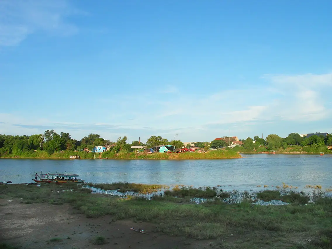
Pak Nam Pho is what people call the city centre. Thai Wikipedia explains that it is where the Ping and Nan meet to form the Chao Phraya. The origin of the name is explained in more than one way. One story says it comes from "Pak Nam Phot", while archaeologists propose that it was the mouth of Khlong Pho, now part of the Nan. English Wikipedia also gives two competing explanations, so there is no single answer.
TAT calls the new landmark that visitors photograph "Pas San", a building with distinctive curved architecture and a light and sound show at night. TAT's 2020 article says it presents the history of the people living upstream along the Chao Phraya and was open daily from 10:00 to 20:00, but that was when it had just opened, and we could not confirm current hours.
TAT also recommends Dechatiwong Bridge, a historic bridge over 60 years old that locals call the gate to the north. The article says vehicles are no longer allowed to cross but visitors can walk onto it to take photos at any time, and that it is decorated with lights in festival season. The same article describes a riverside walking street on Friday and Saturday evenings, but that is 2020 information, so ask where you stay whether it still runs.
Bueng Boraphet
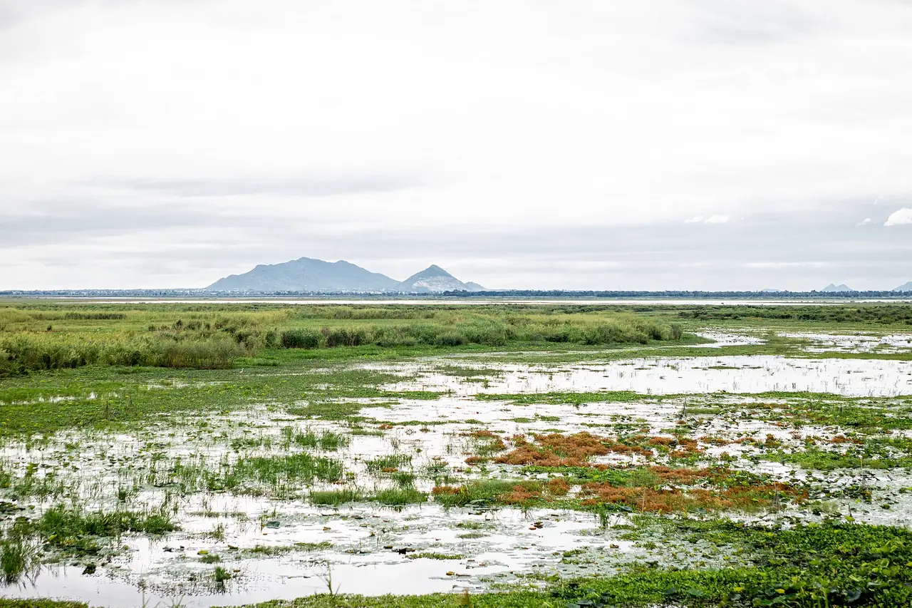
Bueng Boraphet lies east of the city. English Wikipedia gives its area as 224 square kilometres and calls it the largest freshwater swamp and lake in central Thailand. Thai Wikipedia gives 132,737 rai, about 212 square kilometres, across three districts: Mueang Nakhon Sawan, Tha Tako and Chum Saeng. The two sources differ slightly, so we give both. English Wikipedia says 106 square kilometres were declared a non-hunting area in 1975, while Thai Wikipedia says only that part of the wetland is a non-hunting area.
Thai Wikipedia says migratory waterfowl arrive in large numbers from November to March, and that a floating palace in the middle of the wetland was built when King Vajiravudh (Rama VI) stayed there. English Wikipedia adds that it is the only known site of the white-eyed river martin, which has not been seen since 1980, and that the Siamese tiger perch, once the wetland's emblem, has probably vanished from it through overfishing.
TAT says you can take a boat to see lotus flowers and that there is an aquarium for visitors who want to learn more. Wikivoyage says the aquarium is about 10 km northeast of town and was built for the former king's 80th anniversary in 2007. We could not check opening hours or fees for either the aquarium or the boats against an official source, so call ahead or ask your hotel.
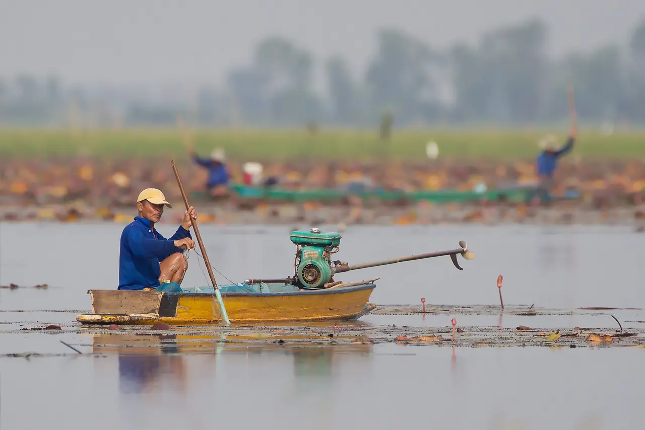
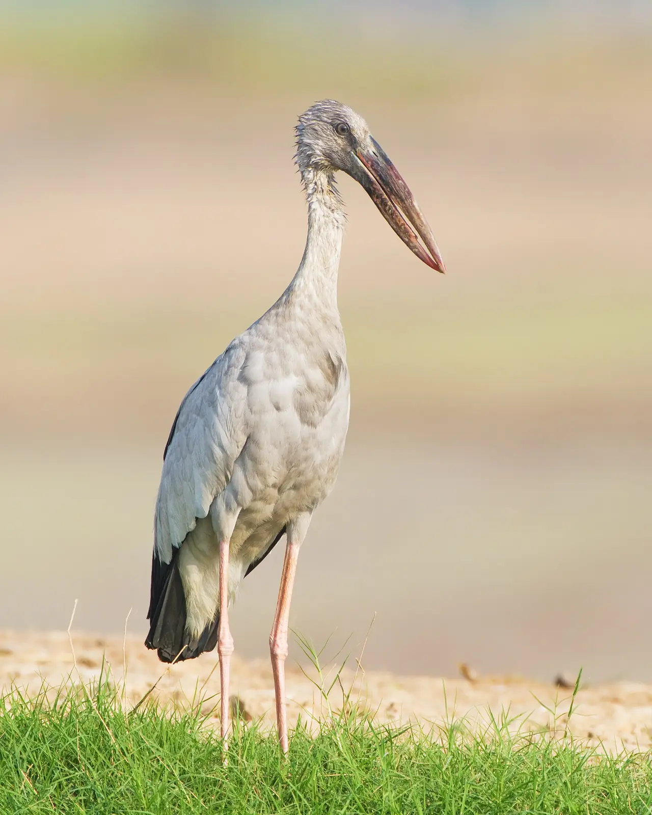
If you want to see birds, go in the November to March window that Thai Wikipedia gives, and go early, because Nakhon Sawan gets very hot.
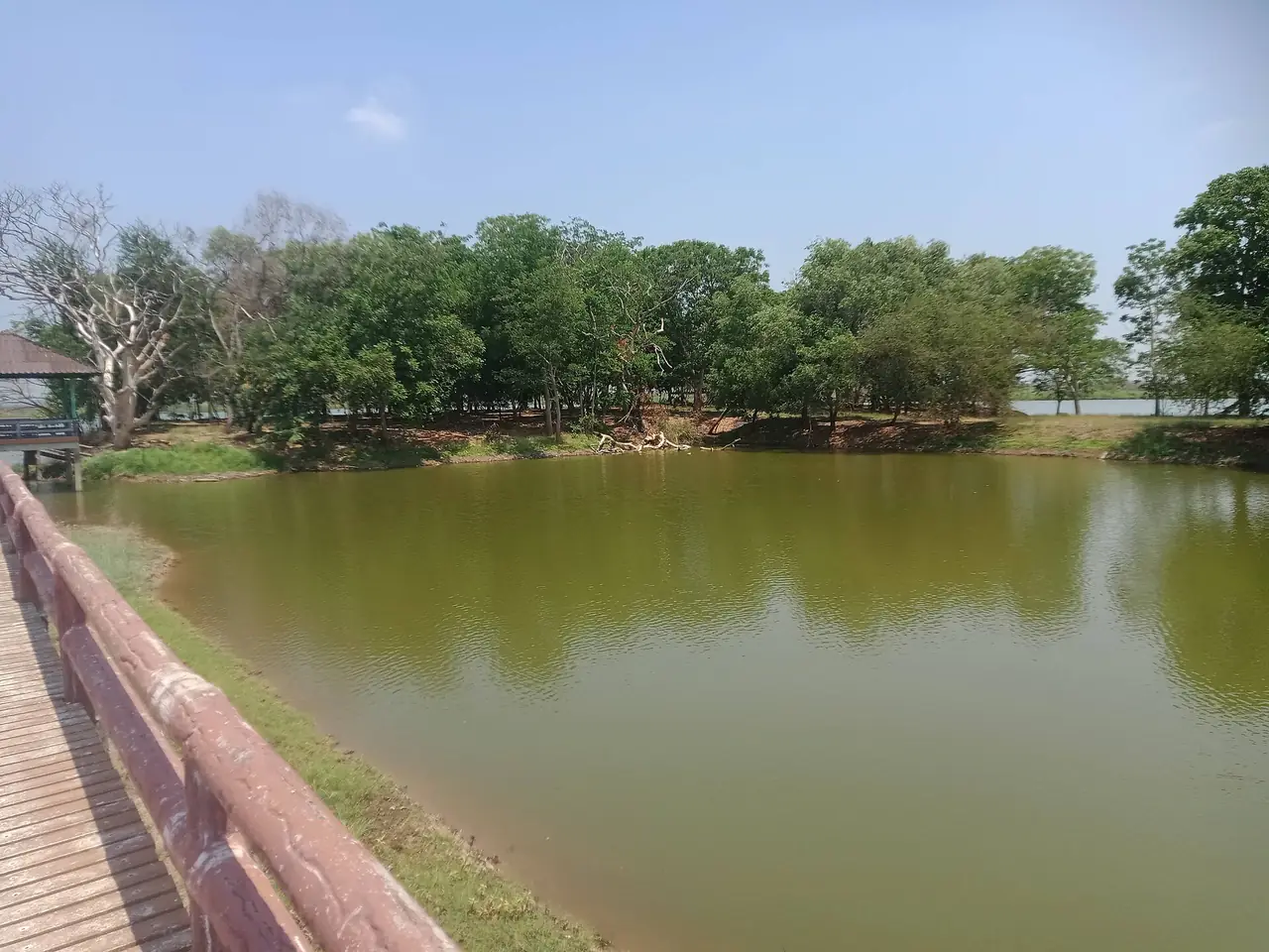
A Commons photo shows a jetty on the edge of the wetland, in the non-hunting area. We have not checked how visitors may use it.
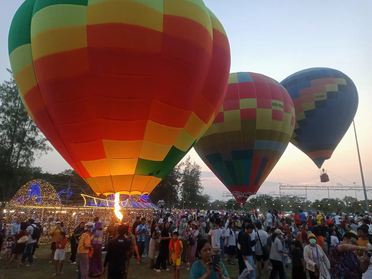
The wetland also hosts events. A Commons file shows a hot air balloon festival in the evening in 2024, but we have not checked whether it recurs each year.
Wat Khao Kob, Wat Khiriwong and the city hill
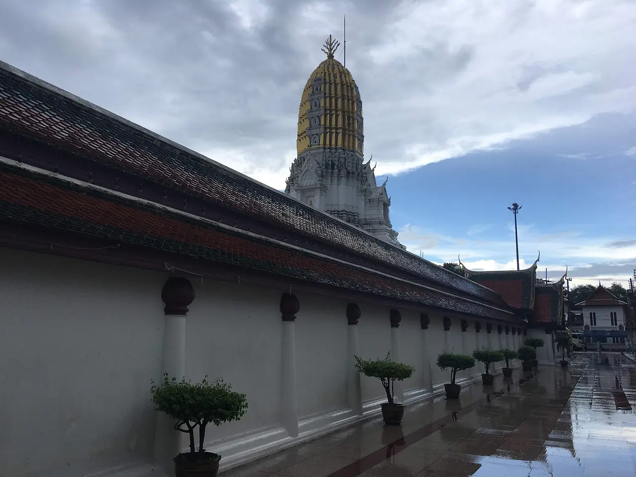
English Wikipedia says a hill rises about 110 metres above the plain inside the city. Several temples stand on it. Thai Wikipedia says the city municipal office is at the southern foot of Khao Kob, and that under Sukhothai, King Lithai installed a Buddha footprint and the Wat Khao Kob inscription on Khao Kob, which is now in the middle of the city.
Thai Wikipedia lists Wat Woranat Banphot and Wat Khiriwong among the city's important places. English Wikipedia describes the Tak Bat Thewo festival at Wat Khao Kob, the temple on the highest hilltop in the city, held around the end of Buddhist Lent, about late October to early November before Loi Krathong.
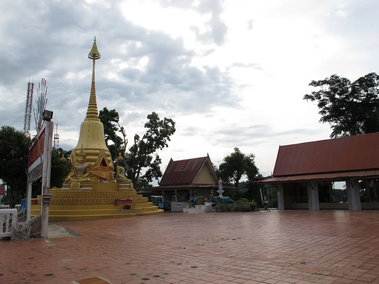
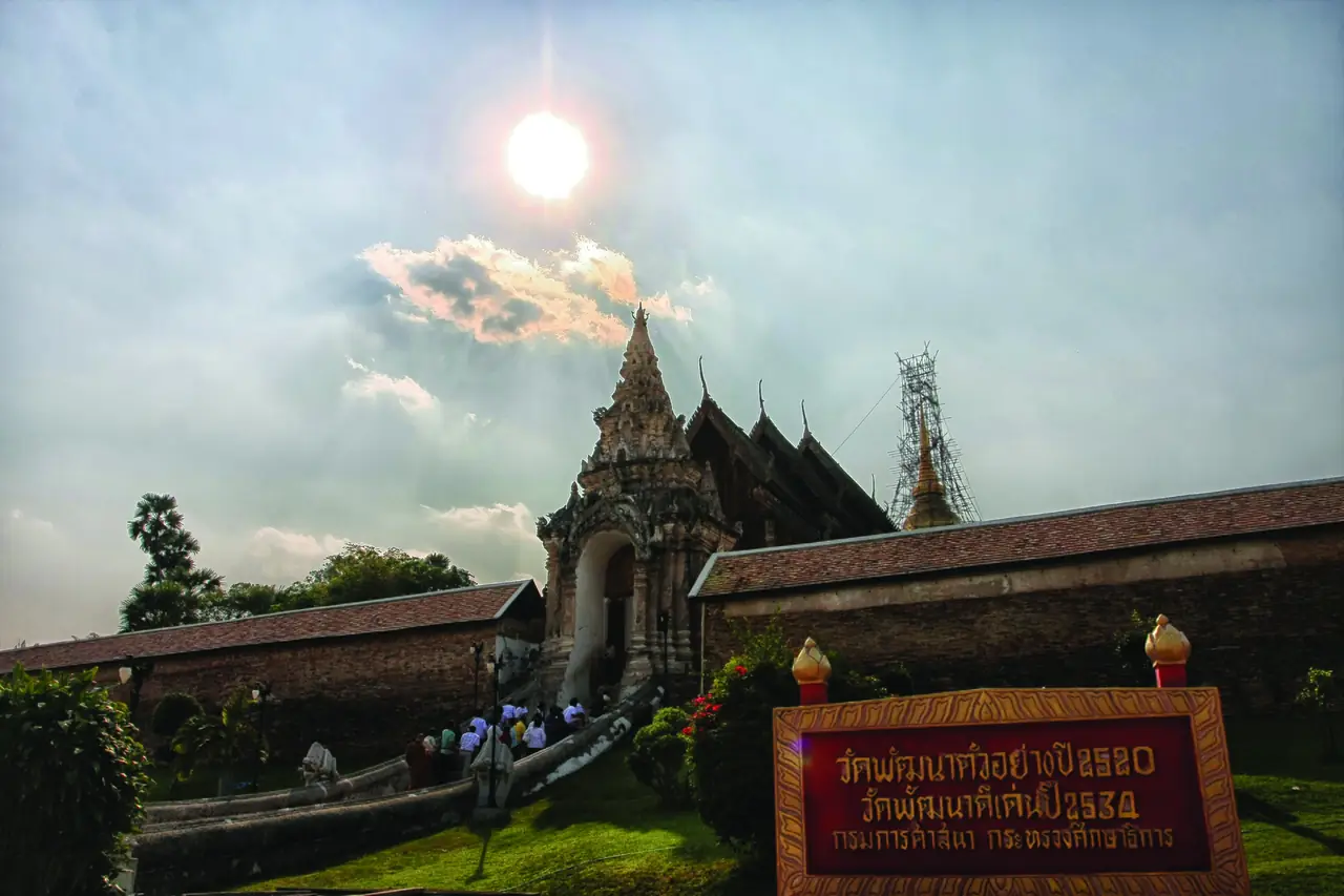
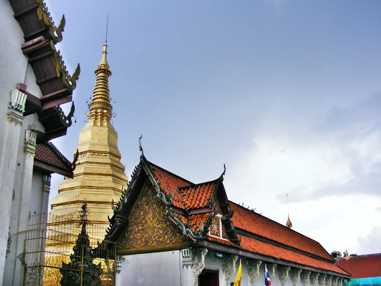
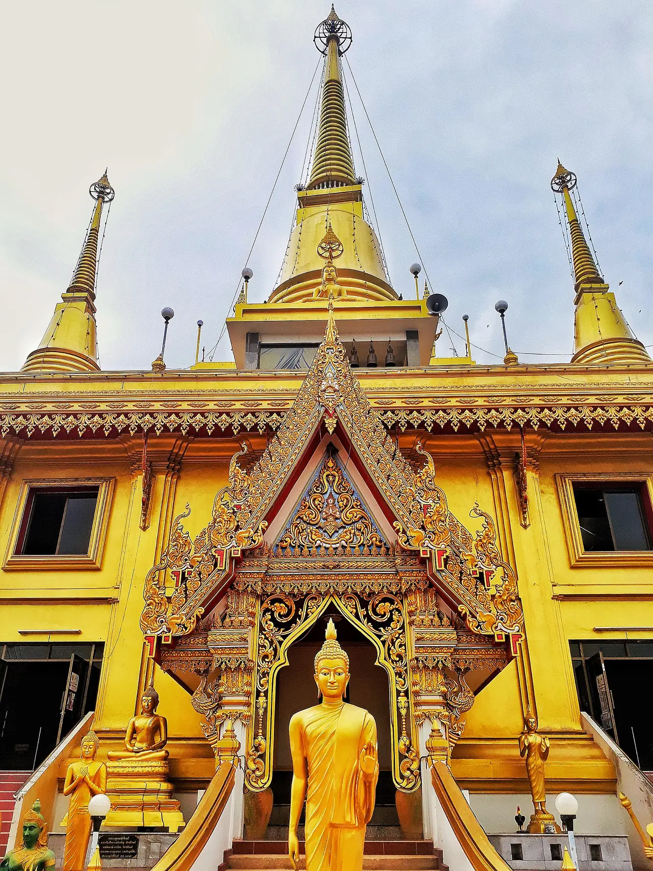
TAT mentions Phra Chulamanee, the golden-coloured chedi at Wat Khiriwong. Wikivoyage says the Nakhon Sawan Tower stands on the same hill as Wat Khiriwong and is the landmark of modern Nakhon Sawan. We have not confirmed tower hours or fees.
Pak Nam Pho Chinese New Year and Chinese heritage
English Wikipedia says Nakhon Sawan has a large population of Thai Chinese descent and that its Chinese New Year festival has been held for more than 100 years, drawing visitors from Thailand and abroad. TAT describes magnificent dragon and lion dance processions at the festival. We did not check this year's dates, which follow the Chinese calendar, so look for the latest announcement from the province or TAT before you plan.
The Nagaraja shrine is listed by TAT among the province's places to see, and Thai Wikipedia lists the Chao Pho Theparak and Chao Mae Thapthim shrine as an important place in the city. We did not check details of either.
Mae Wong National Park
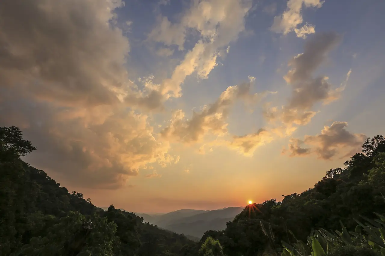
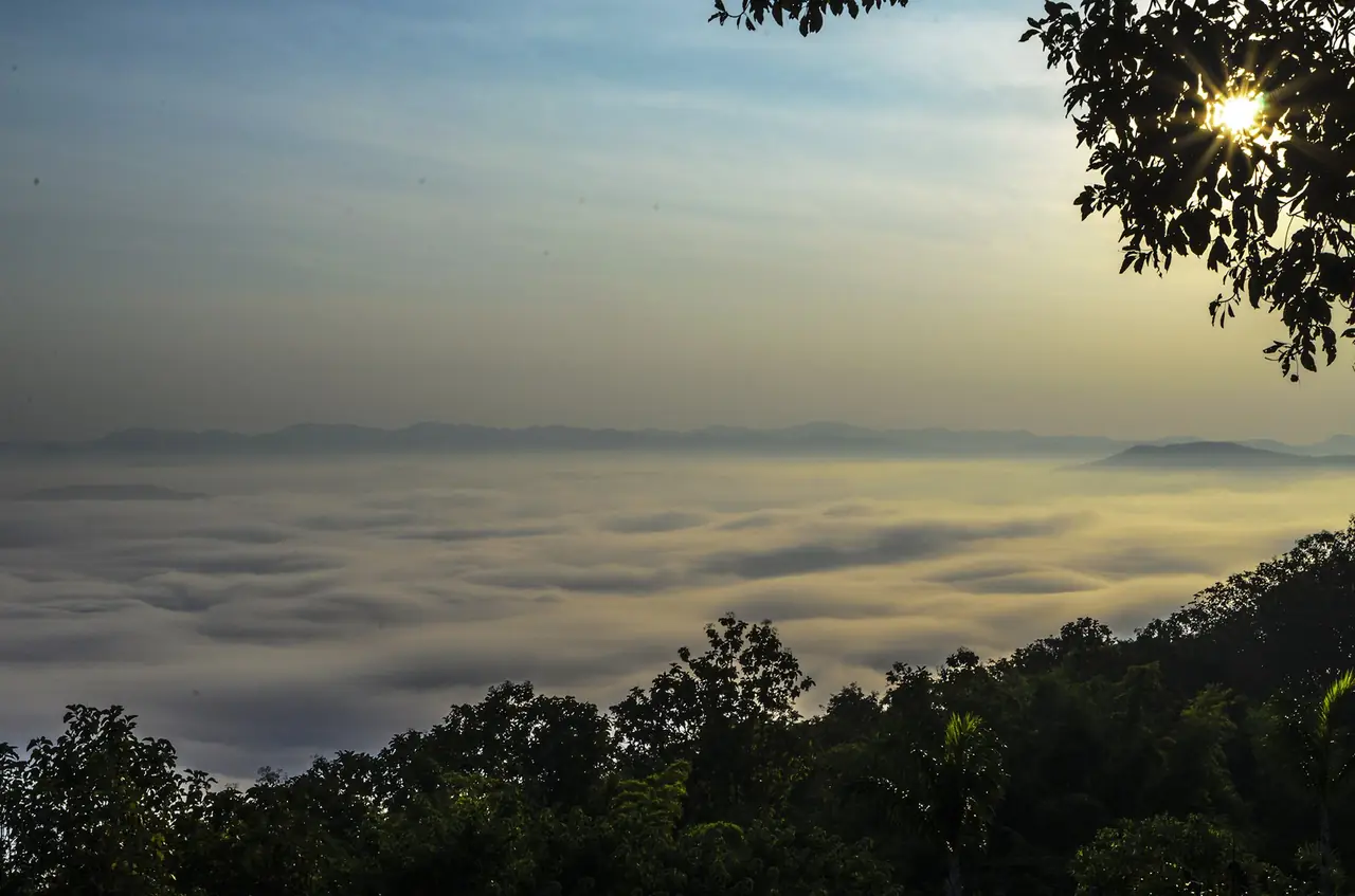
Mae Wong National Park lies in the west of the province, in Mae Wong and Mae Poen districts, and continues into Pang Sila Thong district in Kamphaeng Phet. English Wikipedia says it was declared on 14 September 1987 and covers about 894 square kilometres, and that it had 73,914 visitors in fiscal year 2024. The highest peak is Khao Mokochu at 1,964 metres.
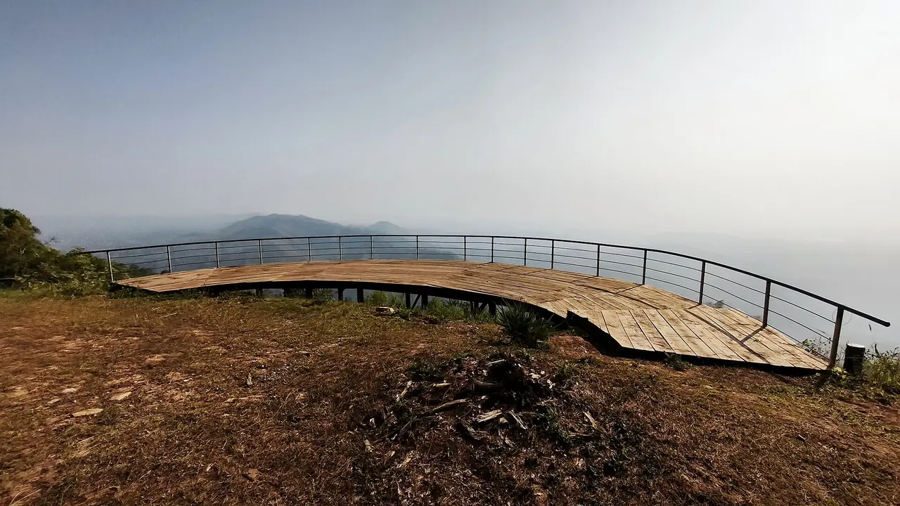
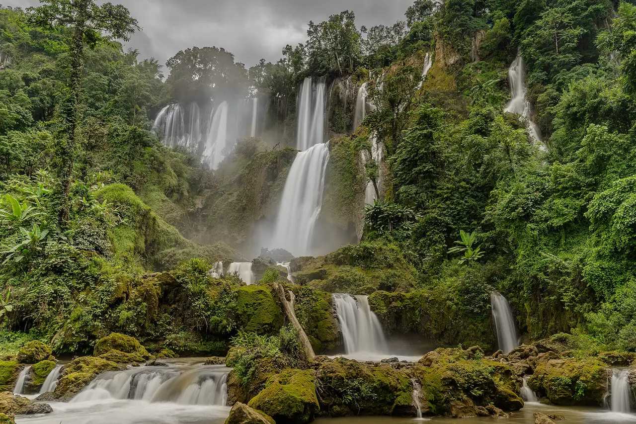
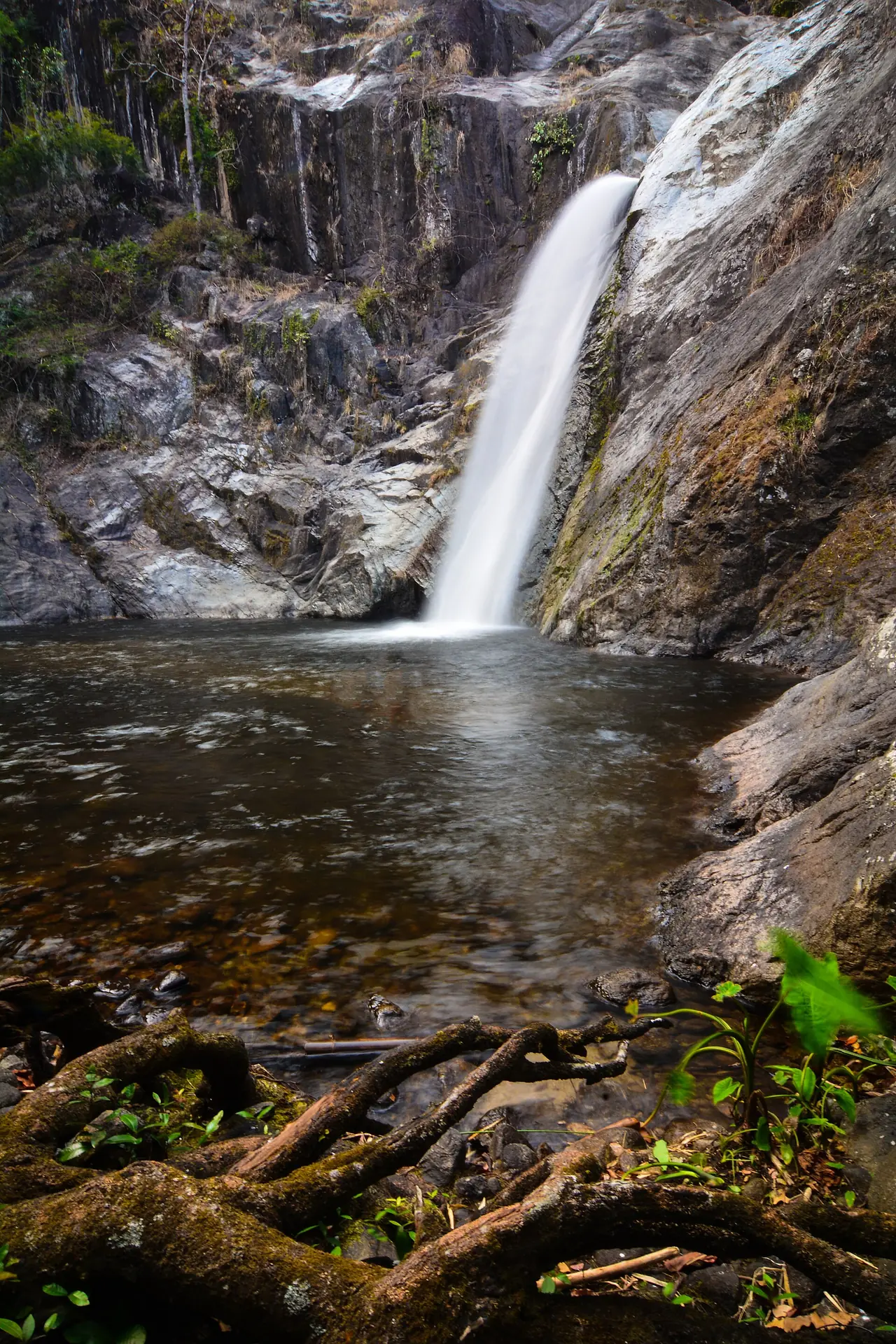
Thai Wikipedia says the Mae Krasa (Mae Ki) waterfall is about 200 metres high and lists the Kio Kratong viewpoint, Khun Nam Yen and Chong Yen as visitor attractions. It also says the Kaeng Lan Nok Yung rapids are a habitat for the Thai peafowl and that the river holds more than 60 species of freshwater fish.
On timing, Thai Wikipedia says November to February is the best time to visit, when the air is fairly cool, and that the rainy season runs from June to October. Check with the national park authorities about open trails, fees and accommodation, because we did not check the department's own page today, and the entrance is a long way from the city, so plan on having a car.
Chan Sen and ancient sites
TAT lists the Chan Sen Museum in Takhli district as one of the province's sights. English Wikipedia says Chan Sen was the first Dvaravati site to be excavated systematically, by Bennet Bronson in 1968 and 1969, and that his phase sequence is still a reference for other sites of the period. It is a good stop if you like early history, but it is far from the city, and we have not confirmed museum hours.
TAT also recommends Khao No - Khao Kaeo, which has a Thai house built entirely of teak, and Wat Sri Uthumphon with its Hanuman-shaped entrance. For Phayuha Khiri, Wikipedia says the name means procession of the mountains because the area has many small and large hills, some topped with temples and Buddha statues.
Eating and souvenirs
TAT says mochi is the province's famous snack. The 2020 TAT article recommends a fried chive dumpling cart, a fish-ball shop and a boat-noodle restaurant in the city with addresses and hours, but that information is more than five years old, so we do not repeat the hours or prices. Check each place on a map or its own page before you go. Wikivoyage mentions a night market by the Ping River, which is also older information.
Getting to Nakhon Sawan
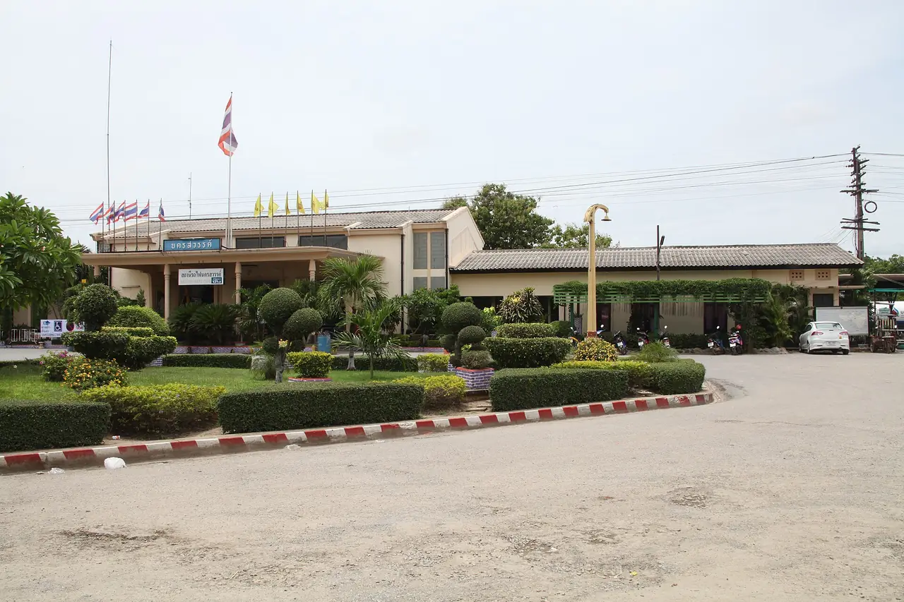
The city is 238 km north of Bangkok according to Wikipedia, while the 12Go page states 249 km; the figures differ because they are measured to different points. Wikipedia says Nakhon Sawan lies on Highway 1 (Phahonyothin Road), with Route 117 leading north to Phitsanulok and Route 225 leading east to Chaiyaphum. The Northern Line train stops at Nakhon Sawan Station, which Wikipedia says is on the east side of the river opposite the city. Wikivoyage says the station is about 6 km from town and you need a songthaew or tuk-tuk. Nakhon Sawan Airport exists according to Wikipedia, but we did not confirm that scheduled flights operate.
| From | How | What the sources say |
|---|---|---|
| Bangkok by car | Phahonyothin Road (Highway 1) | Wikipedia puts the city 238 km from Bangkok; 12Go gives 249 km |
| Bangkok by train | State Railway of Thailand, Northern Line | 12Go showed 12 train trips on 16 October 2026; the Train 7 listing took 2h 46m; check times at the railway's own site |
| Bangkok by bus | Sritawong Tour and Kamphaeng Phet Tour on 12Go | 4 bus trips shown |
| Bangkok by van | Paknam Pho Minibus on 12Go | 1 van trip shown |
| Bangkok by taxi | Private transfers on 12Go | 16 taxi trips shown, priced per vehicle, all included |
Booking the trip
When we opened the 12Go page for Bangkok to Nakhon Sawan in a browser on 16 October 2026, searching for Sunday 18 October with 2 travellers, it listed 33 trips with prices from THB 144 to THB 7,139. By type it showed 12 trains from THB 144, 1 van from THB 253, 4 buses from THB 453 and 16 taxis from THB 2,875. The operators we saw were Thai Railway, Sritawong Tour, Kamphaeng Phet Tour, Paknam Pho Minibus, Gosafe Transport, Than Car Service and AEC 168 Transport and Travel. The page's fact summary gave the fastest trip as 2h 31m, the earliest departure as 05:00 and the latest as 22:47. Those figures are what the page showed on that search, not a promise for your date. We link it as a convenient place to compare, and some links on this site may earn us a commission; this does not change the times or fares you see.
When to go
Wikipedia says Nakhon Sawan has a tropical savanna climate and sits in a valley, which gives some of the highest overnight lows in the country; daytime temperatures can reach 43 degrees Celsius in summer. April is the hottest month, with an average daily maximum of 38.1 degrees. The monsoon runs from May to October with heavy rain and somewhat cooler days, and winters are dry and warm.
For comfort, winter looks best. It also matches the bird migration at Bueng Boraphet (November to March) and the cool season at Mae Wong, both per Thai Wikipedia. For festivals, Pak Nam Pho Chinese New Year falls early in the year on the Chinese calendar, and Tak Bat Thewo at Wat Khao Kob is around late October to early November. Check the latest forecast with the Thai Meteorological Department, and read our guide to getting around Thailand and best time by region.
Where to stay
We checked Nakhon Sawan hotels against their own official sites. Only three had pages we could open that contained text to verify, short of the eight we require for a full where-to-stay comparison page, so we have not built one. The rest were out-of-date sites, sites that were not the hotel's own, or sites that would not load. The three that passed:
- Grand Hill Resort & Spa: its site says it is in the Nakhon Sawan city centre, 2.0 km from the middle of the city, with free Wi-Fi in all rooms and a car park.
- HOP INN Nakhon Sawan: its page says it is very suitable as a stopover, sits on a main road, and is near Sawan Park, the observation tower, Wat Khiriwong, Dechatiwong Bridge and Bueng Boraphet.
- GO Hotel Nakhon Sawan: its page says it is next to a shopping mall in the heart of the city, 5 minutes from the bus terminal, 15 minutes from the railway station and 20 minutes from Bueng Boraphet, by the hotel's own estimates.
For Mae Wong or an early start at Bueng Boraphet, staying in the city and driving out is the simplest option based on what we have. We have not verified any lodging near Mae Wong, so ask the park or the national parks department directly. If you come by train, book on the city side, because the station is across the river.
Nearby destinations
- Kamphaeng Phet: to the north, with its historical park and the other side of Mae Wong
- Uthai Thani: to the south, on the Sakae Krang river
- Phetchabun: to the east
- Tak: to the west
- Phitsanulok: up Highway 117
- Sukhothai: the old kingdom whose frontier town this was
- Ayutthaya: on the way up from Bangkok
- Bangkok: where most trips begin
- Thailand overview
FAQ
How far is Nakhon Sawan from Bangkok?
Wikipedia puts the city 238 kilometres north of Bangkok, while the 12Go page says 249 kilometres. For the 18 October 2026 search, the fastest trip on 12Go took 2 hours 31 minutes, and the buses and taxis we saw took roughly 3 to 4 hours.
How do I get from Bangkok to Nakhon Sawan?
On 16 October 2026, 12Go showed trains from THB 144, a van from THB 253, buses from THB 453 and taxis from THB 2,875 for a search on 18 October with 2 travellers. By car, Wikipedia says to use Phahonyothin Road, Highway 1.
Where does the Chao Phraya River begin?
Wikipedia says the Ping and Nan rivers meet near the city of Nakhon Sawan to form the Chao Phraya. The point is called Pak Nam Pho, which is also the name locals use for the city centre. TAT highlights Pas San as the landmark building there.
When is the best time to see birds at Bueng Boraphet?
Thai Wikipedia says migratory waterfowl arrive in large numbers between November and March. We have not checked opening hours or viewing points with an official body, so ask before you go.
When should I visit Mae Wong National Park?
Thai Wikipedia says November to February is the best time because the air is cool, and the rainy season runs June to October. Check trail openings with the national parks department before you set out.
When is the Pak Nam Pho Chinese New Year festival?
Wikipedia says it has been held for more than 100 years, and TAT describes dragon and lion processions. We did not check this year's schedule, which follows the Chinese calendar, so look for the province's or TAT's latest announcement.
Where should I stay in Nakhon Sawan?
The city is the easiest base because the hotels we verified are all there. If you arrive by train, stay on the city side since the station is across the river. For Mae Wong, ask the park directly about lodging.
Is Nakhon Sawan worth visiting?
Wikivoyage says the town sees few tourists, so it suits travellers who want to see a pass-through Thai city without crowds. It has a river confluence, a large wetland, forests and Chinese-Thai traditions, but it does not have a long list of sights like Chiang Mai. Plan one or two days, or a stop on the way north.
Official sources and further reading
- Nakhon Sawan province (Wikipedia)
- Nakhon Sawan city (Wikipedia)
- Nakhon Sawan (Wikivoyage)
- Nakhon Sawan province (Thai Wikipedia)
- Nakhon Sawan city (Thai Wikipedia)
- Bueng Boraphet (Wikipedia)
- Bueng Boraphet (Thai Wikipedia)
- Mae Wong National Park (Wikipedia)
- Mae Wong National Park (Thai Wikipedia)
- Phayuha Khiri district (Wikipedia)
- Tourism Authority of Thailand: Nakhon Sawan
- TAT: 3 days and 2 nights in Nakhon Sawan (2020 article)
- 12Go: Bangkok to Nakhon Sawan
- Grand Hill Resort & Spa
- HOP INN Nakhon Sawan
- GO Hotel Nakhon Sawan
- Thai Meteorological Department
Prices, schedules and entry rules change. Figures here are approximate as of 2026; always confirm on the official or operator page before you book. Spotted something out of date? Tell us.