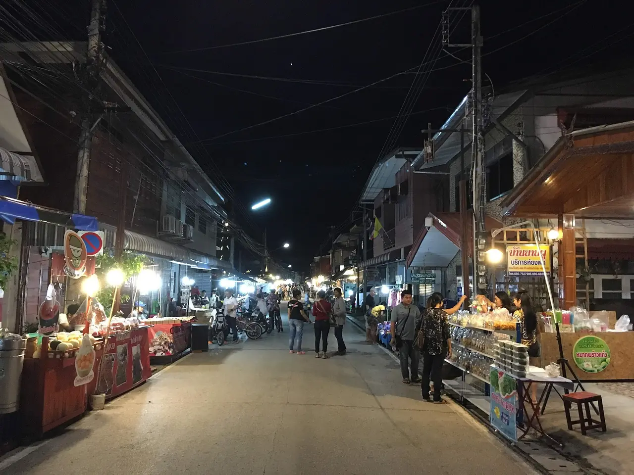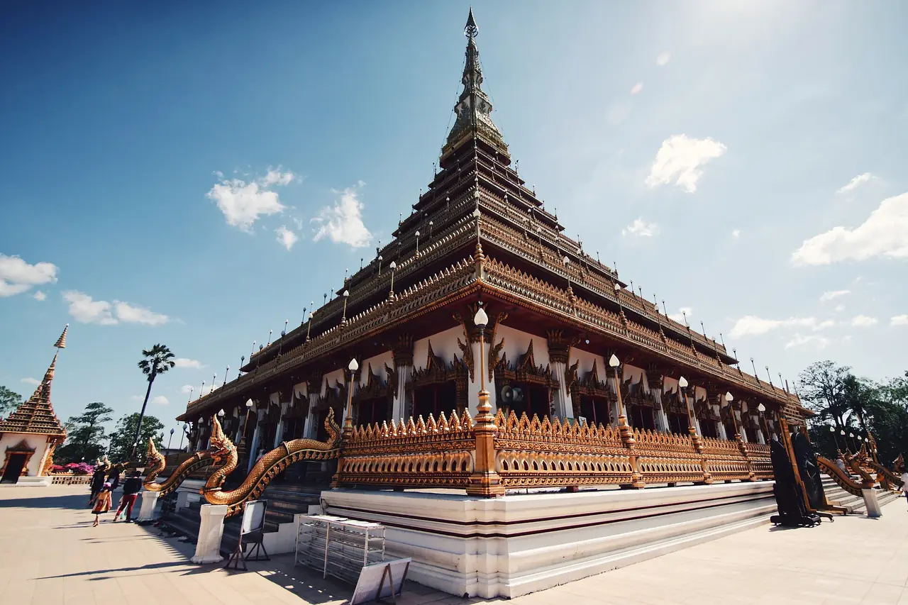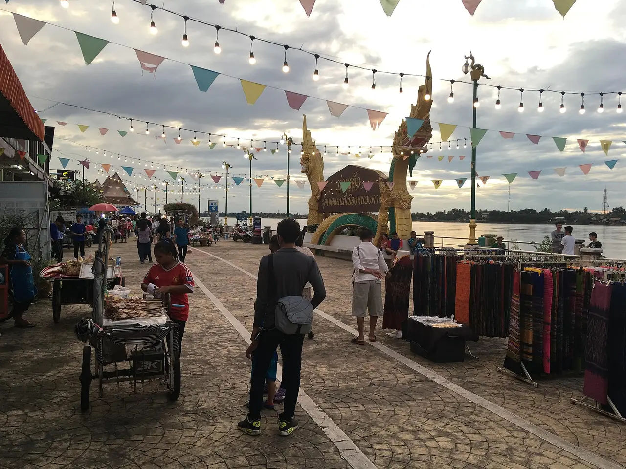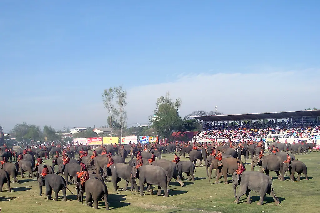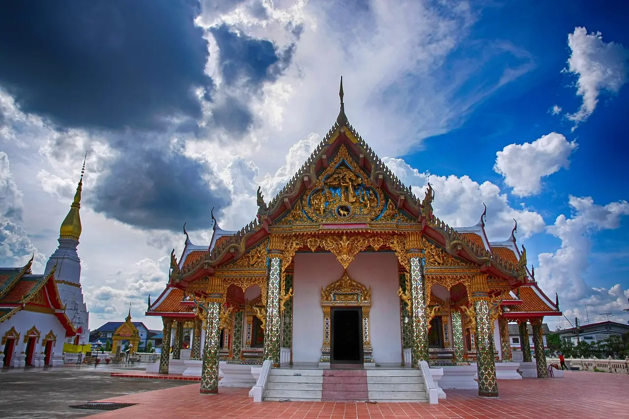
Sakon Nakhon sits in upper Isan, about 647 km from Bangkok, and people come for its temples, its lake and its mountains rather than for malls or nightlife. The centre of town is Wat Phra That Choeng Chum beside Nong Han lake. South-west of the city are the Phu Phan mountains, with a national park, a cave, Khmer ruins on a hilltop and the royal Phu Phan Rajanivet Palace. East of the lake is Tha Rae, the province's big Catholic village. The simplest way in is a bus from Mo Chit 2 or a flight from Don Mueang. There is no train to the province, so rail travellers get off at Udon Thani and take a bus on, which Wikivoyage puts at 3 to 4 hours.
Everything below was checked on 16 October 2026 against the sources listed at the foot of the page. Where two sources give different numbers we show both, and where we could not confirm something, such as opening hours, we say so. For the wider region see our Isan travel guide and the Isan overview. With two days, spend the first in town and at Tha Rae and the second in the Phu Phan hills.
What kind of place is Sakon Nakhon
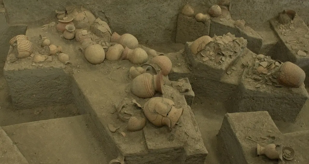
The name comes from Sanskrit, with sakon from sakala, meaning whole, and nakhon from nagara, meaning city, so Wikipedia translates it as roughly city of cities. The area's history is said to go back about three thousand years. Wikivoyage and Wikipedia both repeat the local legend that a town called Nong Han Luang was founded in the 11th century under Khmer rule, then came under the Lao kingdom of Lan Xang, and was renamed Sakon Nakhon in 1830 under Rama III.
The province covers about 9,600 square kilometres in 18 districts. Wikipedia gives 9,580 km2 while Wikivoyage and Thai Wikipedia give 9,605 km2. Most of it is the Phu Phan range. Wikivoyage lists several ethnic groups, including Phu Thai, So, Yor, Saek and Kaloeng, along with Vietnamese and Chinese communities, and says a mix of Thai and Lao is spoken. Central Thai works, but do not expect English signs beyond road names.
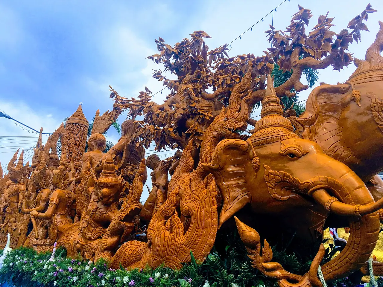
The provincial motto names what the place sells: the Phra That Choeng Chum, the Phu Phan Palace, Nong Han, the wax castle procession and the Phu Thai women. Wikipedia also notes that the province has many forest-temple meditation retreats, which is why many Thai visitors come to pray and practise rather than sightsee.
How to get to Sakon Nakhon
From Bangkok every route ends in Sakon Nakhon city, which is also the best base for the rest of the province.
| From | By | What the sources say |
|---|---|---|
| Bangkok | Bus from Mo Chit 2 | Wikivoyage says the Transport Co. and private companies run daily buses; Thai Wikipedia lists route 27 (Bangkok to Sakon Nakhon) by Nakhonchai Air and route 930 by Cherdchai Tour |
| Bangkok | Plane | Wikipedia's airport page lists Nok Air and Thai AirAsia flying Don Mueang to Sakon Nakhon; check schedules, as routes change often |
| Bangkok | Train to Udon Thani, then bus | Wikipedia says Sakon Nakhon has no train service; the bus from Udon Thani is about 156 to 159 km, 3 to 4 hours per Wikivoyage |
| Bangkok | Drive | Wikivoyage gives 7 to 9 hours at legal speeds, via highways 2, 23 and 213 |
| Nearby provinces | Bus | Udon Thani 159 to 160 km, Nakhon Phanom 91 to 93 km, Kalasin 128 to 131 km, per Wikivoyage and Wikipedia |
Booking a bus or flight
The 12Go page for Bangkok to Sakon Nakhon showed 34 trips when we opened it in a real browser on 16 October 2026, searching Sunday 18 October for 2 travellers. Prices on the page ran from THB 607 to 17,437. That was 15 bus trips from THB 607 (the operator we saw was Transport Co), 11 flights from THB 1,353 and 7 taxis from THB 7,007. The page listed no trains. Those figures are what the page displayed that day, not guarantees, and they change with the date and the number of travellers. We link the page so you can compare quickly, and some links on this site may earn us a commission, which does not change the times or prices you see. For other options see getting around Thailand.
Every 12Go figure above comes from the page as we saw it on 16 October 2026. We did not book or ride these trips ourselves, so check departure time, pick-up point and conditions with the operator on your travel date.
Getting around town
Wikivoyage says the city has buses, samlors and motorised tricycles with negotiated fares, and no rental firm aimed at tourists, although motorbike shops and guesthouses will rent a bike by the day. Thai Wikipedia mentions a yellow songthaew circuit at 10 baht per ride that passes Wat Phra That Choeng Chum, but the page is undated, so ask locally before relying on it. For Phu Phan, Phu Pha Yon and Phu Pha Lek you want your own wheels or a hired car, because the parks are far from town and from each other.
In Sakon Nakhon city
Wat Phra That Choeng Chum
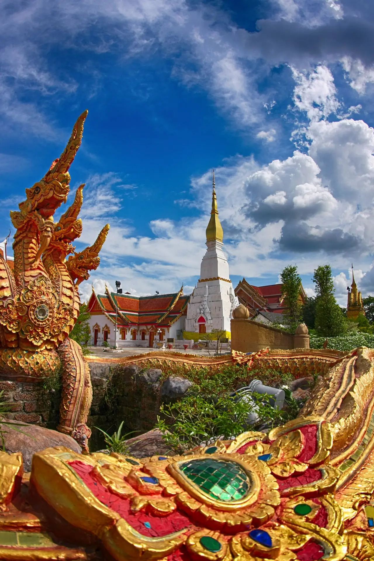
The temple stands on the shore of Nong Han on Charoen Mueang Road, per Thai Wikipedia. The chedi is square, built of mortar and brick and 24 metres high according to Wikipedia, and it appears on the back of the ten-satang coin. Wikivoyage says it was built over the footprints of four Buddhas: Kakusandha, Konagamana, Kassapa and Gotama. Beside it a chapel holds Luang Por Ong Saen, the province's sacred Buddha image. The provincial seal shows the chedi, which Wikipedia describes as a Lao-style Ayutthaya-period chedi built over a Khmer-style prang.
Thai Wikipedia gives the annual festival to pay respects to the chedi as the 11th to 15th days of the second lunar month. We could not confirm opening hours from an official source, so go in the morning and dress modestly. Our temple etiquette guide covers the basics.
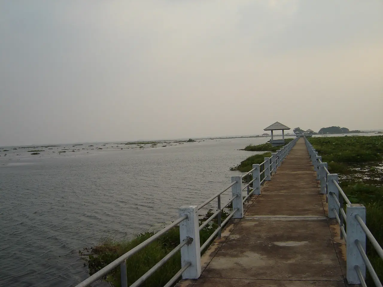
Nong Han lake
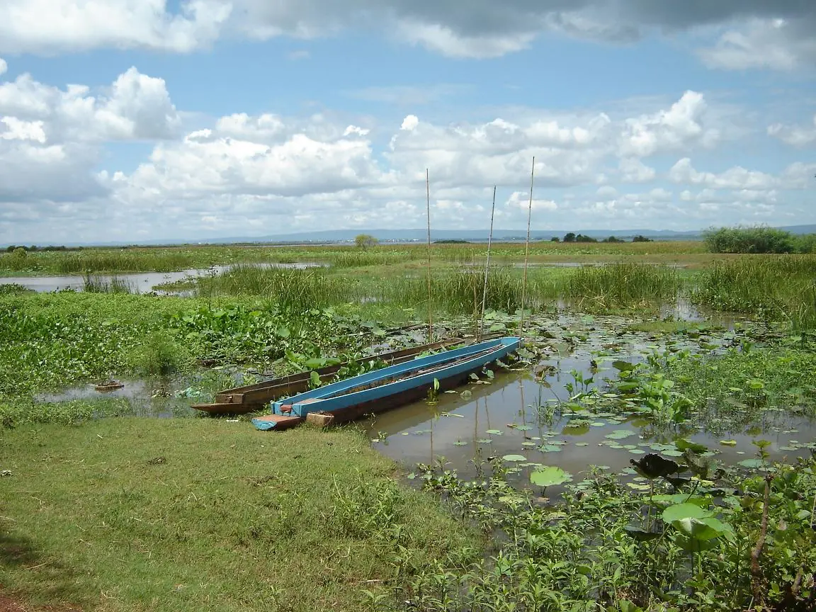
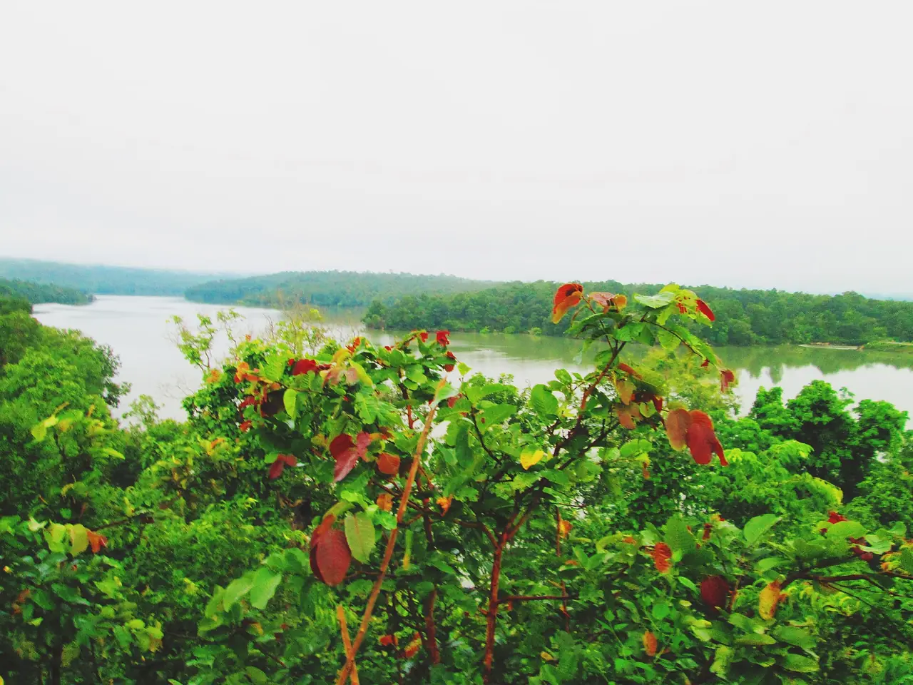
Nong Han touches the edge of town and is described as the largest natural lake in north-east Thailand. Its size is where the sources disagree most, so here they are side by side.
| Source | Area | Depth |
|---|---|---|
| Tourism Authority of Thailand | More than 30,000 acres (TAT's wording) | 3 to 8 m |
| Wikipedia | 125.2 km2 | 2 to 10 m average |
| Thai Wikipedia | 77,016 rai, or 123.2 km2 | 2 to 10 m average |
| Wikivoyage | 32 km2 | 3 to 8 m |
We do not pick one. All sources agree that it is a big, shallow lake that supports fishing and farming. TAT counts more than 20 islets, including Ko Don Sawan with a deserted temple and ancient Buddha images, while Thai Wikipedia counts more than 30. Wikivoyage says the islands can be reached by hired boat.
Wikivoyage and Wikipedia both warn against swimming in Nong Han because of the risk of parasitic liver flukes. Enjoy the lake from the shore or a boat.
Wat Pa Sutthawat and the Archan Man museum
Thai Wikipedia says Wat Pa Sutthawat, in That Choeng Chum subdistrict, is where the forest monk Luang Pu Man Phuritatto died. It has a museum with his relics and requisites and a wax figure seated in meditation, plus a chedi museum for Luang Pu Lui Chandasaro. Wikivoyage calls the museum the Archan Man Purithattha Thera Museum and describes a bronze statue and a glass case of his ashes. This is the best place in town to understand the forest-temple tradition. We have not checked opening hours.
Khmer towers near the city
Phra That Narai Cheng Weng is about 5 km from the city. It is a sandstone tower on a laterite base, with a lintel showing Krishna killing a lion, and a story says it was built entirely by women competing with the men who built Phra That Phu Pek. TAT dates it to the mid 10th to 11th century and Wikipedia to the 16th to 17th Buddhist century, which works out to roughly the 10th to 12th century AD, so the two sources roughly overlap but are not identical.
Phra That Dum is about 3 km from town. Wikipedia says three brick towers once stood on one laterite base and only one remains, and TAT dates the surviving tower to the 11th or 12th century in the Baphuon style, with lintels showing Vishnu and other deities. Wikivoyage also lists the Khmer bridge, or Sapan Hin, an ancient laterite bridge that once crossed what was swamp.
Phu Phan: park, palace and a hilltop ruin
Phu Phan National Park
Wikipedia puts Phu Phan National Park on the border of Sakon Nakhon and Kalasin, about 25 km south-west of Sakon Nakhon town, covering about 665 km2. TAT says the Kalasin side has the Pha Nang Moen viewpoint, 700 m on foot from the park office, and the Lan Sao E rock plateau, 2 km from the office. It also lists waterfalls, the Tham Seri Thai cave and the Khmer ruin at Phra That Phu Phek. Wikipedia adds that the Seri Thai resistance stored weapons in the cave in the Second World War and that the area hid a communist force in the 1970s.
The climb to Phra That Phu Pek is the hard part. Wikipedia's page on the ruin says 491 steps, and the park page says around 500, so the numbers agree that it is a real climb. Wikipedia describes a roofless laterite ruin holding a cube-shaped stone that the ancients used as a solar calendar, about 37 km west of town. TAT lists foreign adult entry at 100 baht and children at 50, and says accommodation is available. The park number TAT gives is +66 2562 0760, which is the National Parks Department.
Phu Phan Rajanivet Palace
Thai Wikipedia puts the palace beside highway 213 at about kilometre 14, around 16 km from the city. It was built in the Phu Phan range in 1975 and the grounds cover about 1,950 rai including the forest restoration area. Wikivoyage describes it as the residence of the king, queen and royal family when they visit the north-east. Because it is a royal residence we have not confirmed when it opens to visitors or what the rules are, so check before you go.
The northern and eastern parks
Phu Pha Yon National Park
Wikipedia says Phu Pha Yon was formerly Huai Huad National Park, declared in 1988, with an area of 829 km2. TAT gives 825 km2 or 517,850 rai, and the rai figure matches Wikipedia's, so the difference is rounding. The park spans Sakon Nakhon, Nakhon Phanom and Mukdahan provinces along the Phu Phan range.
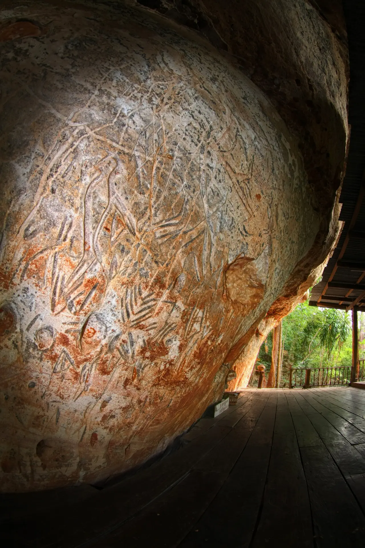
TAT lists the Huai Huad reservoir 500 m from the park office, the Kham Nam Sang waterfall at 25 m high and 1.8 km from the office, the Phaya Tao Ngoi cliff with a rock shaped like a turtle, and a viewpoint with rock carvings about 3,000 years old. Wikipedia says wildflowers bloom together in the rainy season, and Wikivoyage says the Lan Dusita rock plain turns colourful in the late rainy season. TAT lists foreign adult entry at 100 baht and children at 50.
Phu Pha Lek National Park
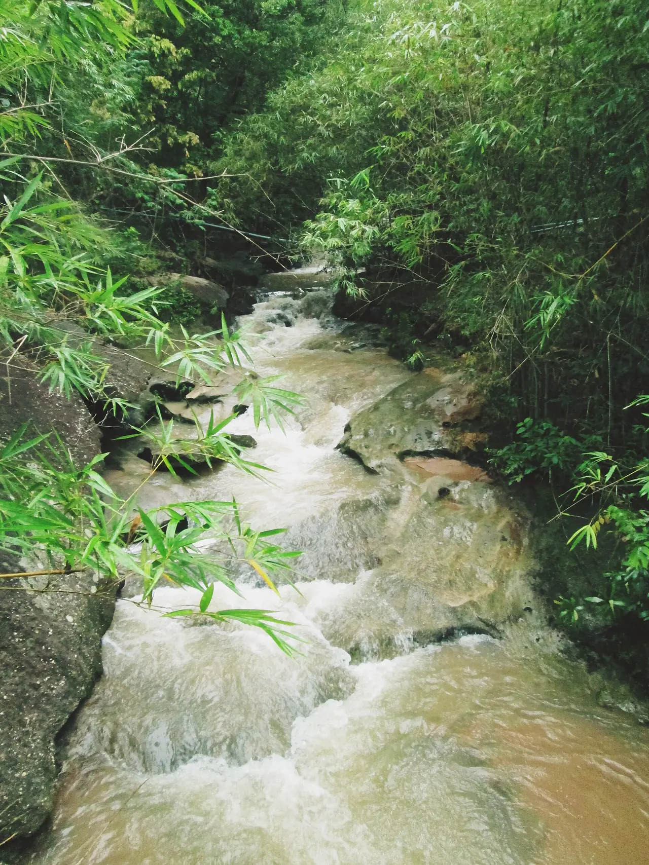
Wikipedia says the park lies mostly in Sakon Nakhon with smaller parts in Udon Thani and Kalasin, covering about 406 km2, and its highest point is Phu Ang So at 695 m. TAT says Pha Suriyan is a cliff viewpoint at the peak, Lan U Sawan is a broad plateau of forest, rock and grass, and the Ho Song Dao observatory sits at 700 m, good for meteor showers. Entry is 100 baht for foreign adults and 50 for children, and TAT says lodging and camping are available. Wikivoyage adds a 3,600-year-old rock painting at Pha Pak Wan and a Thai So cultural centre.
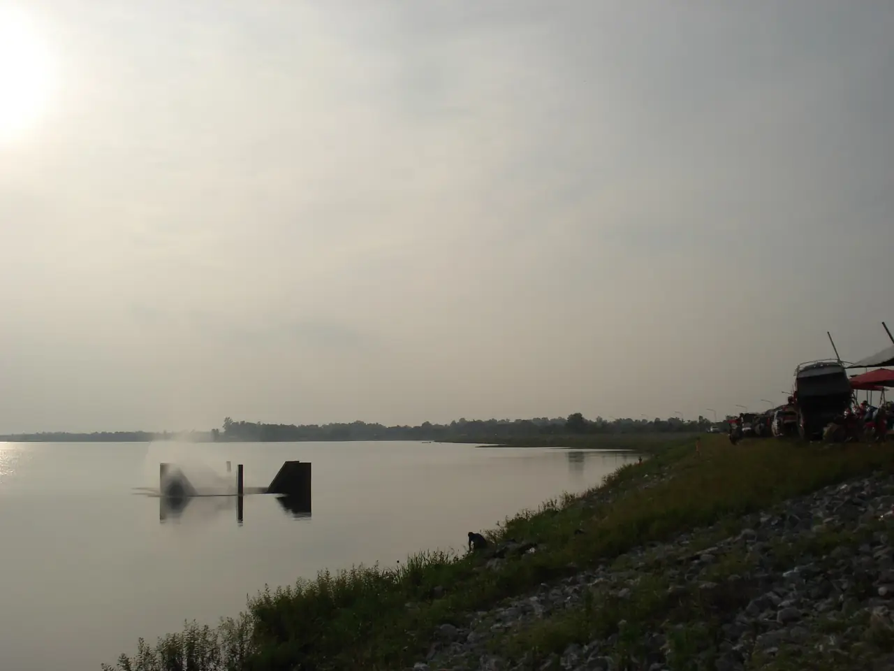
Nam Un Dam
Wikivoyage describes Nam Un Dam in Nikhom Nam Un district as a multipurpose clay dam run by the Royal Irrigation Department on the Nam Un, a tributary of the Songkhram river that rises in the Phu Phan range. It is a calm place for the lake and sunset if you are heading up towards Phu Pha Lek.
Tha Rae, the Catholic village on Nong Han
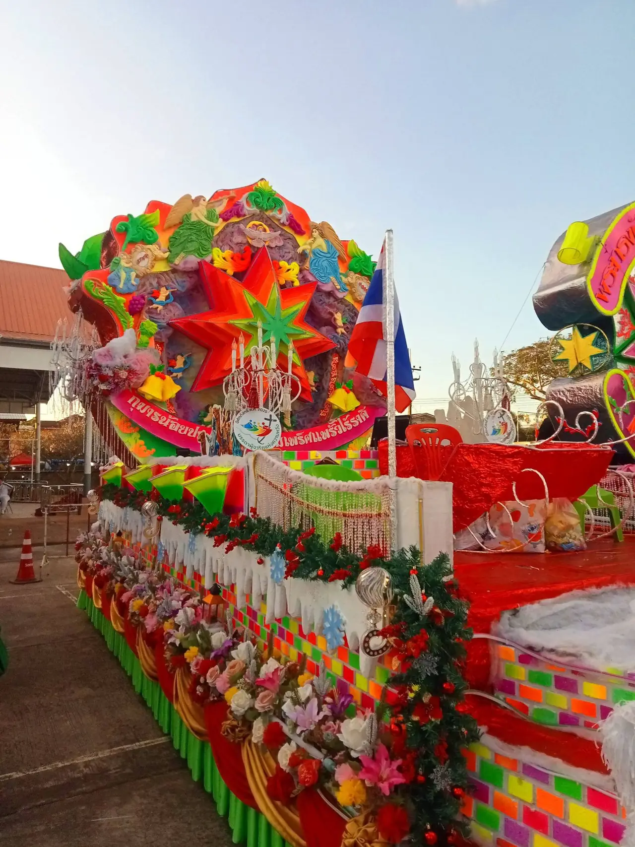
Tha Rae lies on the northern shore of the lake, about 21 km from the city and 14 km from the airport, according to Wikipedia. It was founded in 1884 by a French missionary, Xavier Guego, who moved his family across Nong Han from town. The first settlers were about 10 Vietnamese Christian households and about 10 local Isan households. Today it is the largest Catholic community in Thailand, with St Michael's Cathedral and old colonial buildings along the main street.
What puts Tha Rae on the map is the Christmas star procession. Wikipedia says it has been held every Christmas Eve since 1982 and claims no one else in the world does the same. We did not verify that claim ourselves. To see it, come on 24 December and book your accommodation early.
Indigo cloth, weaving villages and local food
Thai Wikipedia says indigo-dyed cloth is common across Isan and especially in Sakon Nakhon, where the cotton thread is usually dyed first, tied into mudmee patterns, dyed and then woven by hand on village looms. Wikivoyage names Wha Yai and Ban Don Daeng in Akat Amnuai district as villages known for cotton and silk dyed naturally in khit style, the Ban Charn arts and crafts centre in Ban Muang district for weaving, blacksmithing and wood carving, and the Ban Chiang Khrua pottery village about 15 km from town on highway 22. We did not check opening hours, so call ahead before driving out.
For food, Wikipedia says Pon Yang Kham beef, sold as Thailand's best-quality beef, comes from a breeders' cooperative near the city and is sometimes called the Kobe beef of Isan, citing the Bangkok Post. Wikivoyage lists a restaurant at the cooperative that serves lunch, about 15 km south-east of the city. Markets in town are the easiest place for cheap snacks.
Festivals and when to go
| Event | When | What we could confirm |
|---|---|---|
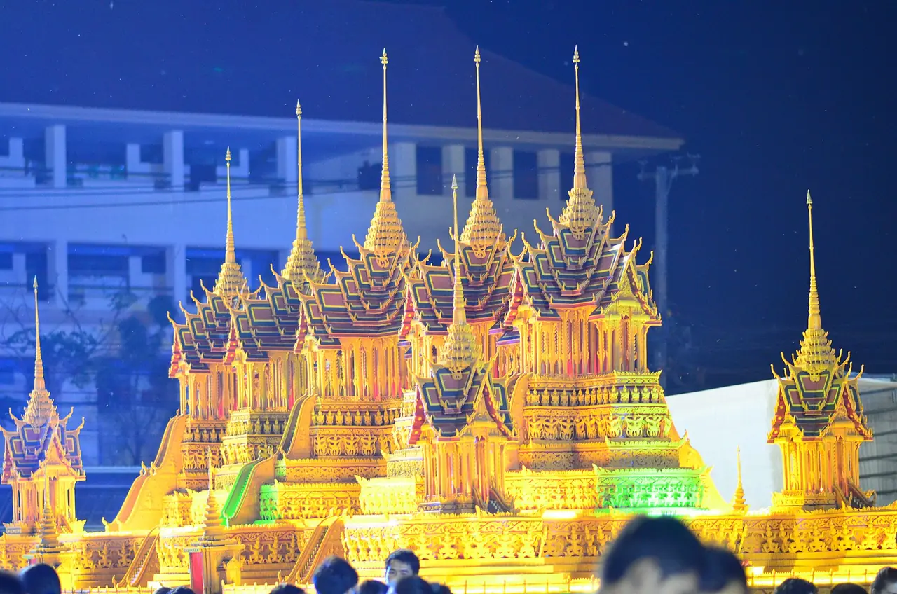
| Wax castle procession | End of Buddhist Lent, October, 12th to 15th days of the waxing moon | Wikivoyage says wax castles are decorated on the night of the 13th at Ming Mueang field and paraded on the 14th to Wat Phra That Choeng Chum; the date moves with the lunar calendar |
| Phra That Choeng Chum fair | 11th to 15th days of the second lunar month | Thai Wikipedia |
| Songkran | 13 to 15 April | Wikivoyage says most of the action centres on Wat Phra That Choeng Chum |
| Rocket festival, Phang Khon | First week of May | Wikivoyage |
| Christmas star procession | 24 December | Wikipedia, at Tha Rae |
| So Ram Luk | 4th waxing moon of March | Wikivoyage, in Kusuman district |
We have not confirmed this year's exact dates with the provincial authority, so check before you book. If you are interested in Songkran, see Songkran 2027, and for the seasons across the country see the best time to visit by region. We do not quote temperature or rainfall figures for Sakon Nakhon because we found no official source we could cite.
Where to stay
We have no Sakon Nakhon hotel list yet. Every hotel on our stay pages must be read from the hotel's own official site and checked again in a second pass, and in this round fewer than eight official sites could be opened and read, so we did not publish a list. We would rather say nothing than invent one. Here is what we can confirm.
- In the city: Wikivoyage places most hotels along Khu Mueang, Rop Mueang, Sukkasem and Yuwa Phatthana roads, close to Wat Phra That Choeng Chum and the markets. It suits walking to the temple and finding dinner nearby.
- Near the airport: Wikivoyage lists a traditional Isan-style guesthouse on the Sakon Nakhon to Udon Thani road close to Rajabhat University and about five minutes from the airport. Check that it is still open before booking.
- In the parks: TAT says Phu Phan and Phu Pha Lek offer accommodation and Phu Pha Lek has camping, and Wikipedia says Phu Pha Yon has a campsite with equipment. TAT gives the National Parks Department number as 0 2562 0760.
- Tha Rae: about 21 km from the city and handy for the star procession, but we found no checked hotel there.
For two days, stay two nights in the city and drive up Phu Phan. For Phu Pha Lek or Phu Pha Yon, think about staying in or near the park, since each is more than half an hour's drive from town.
Short plans
- One day: Wat Phra That Choeng Chum in the morning, a walk by Nong Han, Wat Pa Sutthawat and Phra That Dum, then Phra That Narai Cheng Weng in the afternoon and dinner in town.
- Two days: The same first day, then the Phu Phan hills on the second: the palace if it is open, then Pha Nang Moen or Phra That Phu Pek.
- Three days: Add a full day at Phu Pha Yon or Phu Pha Lek, and Tha Rae in the evening or at Christmas.
Nearby destinations
- Udon Thani: the rail and air gateway, about 160 km west
- Nakhon Phanom: on the Mekong, about 91 to 93 km east
- Mukdahan: further south along the Mekong
- Nong Khai: the Lao border to the north, about 210 km by Wikivoyage's figure
- Khon Kaen: the region's big city
- Isan travel guide and Isan overview
- Getting around Thailand
- Thailand travel guide
Frequently asked questions
Does Sakon Nakhon have an airport?
Yes, Sakon Nakhon Airport is on the north side of the city. Wikipedia lists Nok Air and Thai AirAsia flying from Don Mueang. The 12Go page we opened on 16 October 2026 showed 11 flights from THB 1,353. Check the airline schedule before booking.
How do I get to Sakon Nakhon from Bangkok?
The bus from Mo Chit 2 is the most direct, and the 12Go page showed 15 bus trips from THB 607. You can also fly from Don Mueang, or take a train to Udon Thani and a bus for about 3 to 4 hours more, per Wikivoyage. Driving takes about 7 to 9 hours.
Is there a train to Sakon Nakhon?
No. Wikipedia says the province has no train service, so get off at Udon Thani and take a bus. The 12Go page we saw also listed no trains.
How much does Phu Phan National Park cost?
TAT lists foreign adults at 100 baht and children at 50 baht, the same as Phu Pha Yon and Phu Pha Lek. We did not confirm this with the National Parks Department, and Thai rates may differ, so check at the gate or call 0 2562 0760.
Can you swim in Nong Han?
It is not recommended. Wikivoyage and Wikipedia both warn of parasitic liver flukes. Take a boat or walk the shore instead.
When is the best time to visit Sakon Nakhon?
For culture, October brings the wax castle procession at the end of Buddhist Lent, Songkran fills the area around the main temple in April, and 24 December brings the Christmas star procession in Tha Rae. For wildflowers, Wikipedia says Phu Pha Yon blooms in the rainy season. Exact dates change each year, so confirm before booking.
How many days do I need?
Two days cover the city and the Phu Phan area. Allow three if you want to add Phu Pha Yon or Phu Pha Lek, since the parks are well outside town.
Where can I find verified hotels?
We have no verified hotel list for Sakon Nakhon yet. Use the area advice above, then check details with each hotel directly before paying.
Official sources and further reading
- Sakon Nakhon (Wikivoyage)
- Sakon Nakhon province (Wikipedia)
- Sakon Nakhon province (Thai Wikipedia)
- Nong Han (Tourism Authority of Thailand)
- Phu Phan National Park (Tourism Authority of Thailand)
- Phu Pha Yon National Park (Tourism Authority of Thailand)
- Phu Pha Lek National Park (Tourism Authority of Thailand)
- Phra That Narai Cheng Weng (Tourism Authority of Thailand)
- Phra That Dum (Tourism Authority of Thailand)
- Wat Phra That Choeng Chum (Wikipedia)
- Nong Han Lake (Wikipedia)
- Tha Rae (Wikipedia)
- Phra That Phu Pek (Wikipedia)
- Phu Phan National Park (Wikipedia)
- Phu Pha Yon National Park (Wikipedia)
- Phu Pha Lek National Park (Wikipedia)
- Sakon Nakhon Airport (Wikipedia)
- Phu Phan Rajanivet Palace (Thai Wikipedia)
- Wat Pa Sutthawat (Thai Wikipedia)
- Indigo-dyed cloth (Thai Wikipedia)
- 12Go: Bangkok to Sakon Nakhon
Prices, schedules and entry rules change. Figures here are approximate as of 2026; always confirm on the official or operator page before you book. Spotted something out of date? Tell us.