Satun is the southernmost province on Thailand's Andaman coast, on the Malaysian border, and the home of Pak Bara pier, where the boats leave for Tarutao National Park, Koh Bulon Lae and Koh Lipe. The usual route is to fly or take the train to Hat Yai or Trang, then go by road to Pak Bara, or to Satun town if you want to see the town first. For the islands, the Department of National Parks (DNP) lists the Adang-Rawi islands as open to visitors from 16 November to 15 May.
This guide uses only what we checked on 16 October 2026 against the sources listed at the end: the DNP, the Tourism Authority of Thailand (TAT), Wikivoyage, and the websites of resorts and boat companies. Where sources disagree we show both. We leave out park fees and opening hours that we could not read on an official page. If you are choosing a bed, read where to stay in Satun or the Thai version, ที่พักสตูล.
What kind of province is Satun
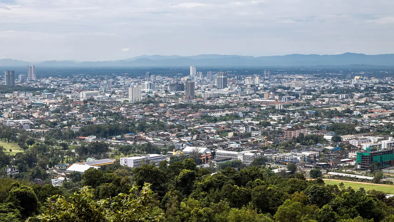
Wikivoyage describes Satun town as only a few kilometres from the Andaman coast but about 940 km from Bangkok, a mostly Malay Muslim town that it calls safe and very friendly. It also says the Malay dialect spoken here differs from that of the other southern provinces and is closer to the Kedah dialect. For a visitor the province splits into three parts.
The first is the sea and the islands, inside Tarutao National Park and Mu Ko Phetra National Park. The DNP says Tarutao has 51 islands and covers about 1,490 square kilometres, and that Mu Ko Phetra covers 494.38 square kilometres, about 94.7 percent of it water. The second is the forest and mountain strip along the border, where the DNP lists Thale Ban National Park at 196 square kilometres. The third is the town and its districts, with a museum, a mosque, a temple, a fishing cape and limestone caves in the Satun Geopark.
If time is short, decide first between the islands and the mainland, because the two use different bases. Most island visitors sleep one night in Pak Bara before an early boat. Mainland visitors sleep in Satun town and drive out to Thale Ban and Thung Wa.
Getting to Satun
Wikivoyage says the nearest airport to Satun town is Hat Yai, about 100 km away, and the nearest train stations are Hat Yai and Trang (Trang about 160 km). For Pak Bara it gives 124 km from Hat Yai, 123 km from Trang and 59 km from Satun.
| From | By | What the sources say |
|---|---|---|
| Bangkok | Overnight bus | Wikivoyage lists Sri Suthep Tour from the Southern Terminal at about 16.5 hours and The Transport Co. from Mo Chit at about 17.5 hours. The fares it quotes are old, so check with the company. |
| Bangkok | Flight or train to Hat Yai, then road | Hat Yai is about 100 km from Satun town. See getting around Thailand and the Hat Yai guide. |
| Hat Yai or Trang | Minivan to Pak Bara | Wikivoyage mentions minivans from Hat Yai. Pansand Resort says public vans from the airport take about 2 hours. |
| Malaysia | Ferry from Langkawi | Wikivoyage says the Langkawi ferry takes about 1 hour 15 minutes, with two or three services a day depending on the season, landing at the Tammalang pier. |
| Malaysia | By road via Wang Prachan | Wikivoyage describes driving from Wang Kelian (Malaysia) to the Wang Prachan checkpoint (Thailand), then on to Khuan Don and Satun, about 90 minutes from the border. |
One trap: a ticket to "Satun" is not a ticket to "Pak Bara". Wikivoyage warns you to book to Satun town and not to another place in the province, and the reverse applies if you need the pier. After a long trip, sleeping one night in Satun town or Pak Bara before boarding is easier than racing a boat.
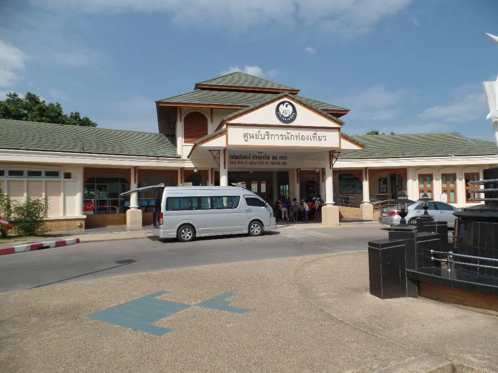
Booking transport from Bangkok
The Bangkok to Satun page on 12Go showed the following when we opened it in a real browser on 16 October 2026, searching Sunday 18 October for two travellers: 37 trips, priced from THB 993 to THB 23,148. That was 27 bus trips from THB 993, 7 taxis from THB 13,781 and a few other trips, and the list included Gosafe Transport. These are the figures the page displayed at that moment, not guarantees, and they change daily. Check where each ticket drops you before paying.
We link it so you can compare in one place, and some links on this site may earn us a commission, which does not change the time or price you see. We do not copy 12Go prices into this page because they change with the travel date.
Pak Bara pier and the island boats
Wikivoyage calls Pak Bara the main transport hub for Ko Lipe, Ko Bulon Le, Ko Adang and Ko Tarutao. It adds that the slow ferries have been replaced entirely by speedboats, that there is no ticket office at the pier, and that tickets are sold by vendors nearby with a small pier-entry charge. That is the wiki authors' account, not a pier notice, so buy from a boat company with its own website or through your hotel; for example Satun Pakbara Speed Boat Club lists a head office at Pak Bara and a branch on Lipe.
The times below are what each source states, not a current timetable. Times change with the season and the sea.
| Destination | What the sources say |
|---|---|
| Koh Lipe | Wikivoyage lists departures at 11:30 and 15:30 and a 90-minute crossing, though another section of the same page says two hours. The SPC page lists an 11:30 to 13:00 trip of 1 hour 30 minutes. |
| Koh Bulon Lae | Wikivoyage lists 12:30 and about 1 hour. Pansand says the boat leaves Pak Bara daily at 12:30 from November to April. Bulonhill says check-in 12:00, departure 12:30 and about 30 minutes. Bulone Resort says about 45 minutes to 1 hour. |
| Ko Tarutao | Wikivoyage lists 11:30 and 30 minutes. The SPC page lists 11:30 to 12:00, 30 minutes. |
The biggest disagreements are the crossing time to Koh Bulon Lae (30 minutes, 45 minutes to 1 hour, or 1 hour) and the season. Wikivoyage says boats run all year, but the DNP says the Adang-Rawi islands are closed in the rainy season and Pansand only gives boat times for November to April. Treat the more cautious statement as the rule: confirm with the boat company or your resort before you pay.
Koh Bulon Lae has no pier. Bulonhill says a longtail picks you up from the speedboat and brings you to the beach, and Pansand says its ticket price does not include the longtail service, which is a separate cash cost paid to the longtail.
Speedboats can be cancelled when the sea is rough. Do not book an international flight or a non-refundable bus on the same day you leave the islands. Keep a spare night in Pak Bara or Satun town.
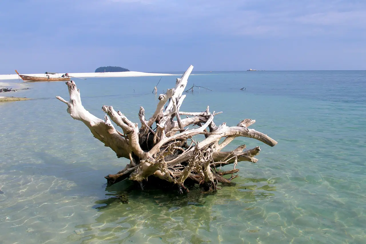
Seasons and weather
The DNP splits the tourism season for the Adang-Rawi islands, part of Tarutao National Park that includes the area around Lipe, in two. The tourism season is closed from 16 May to 15 November and open from 16 November to 15 May every year. The reason it gives is the south-west monsoon, which brings heavy rain and strong waves and makes travel unsafe.
The climate figures on the DNP pages are old. The Tarutao page cites January to December 2001: the most rain in September (594 mm), then October (478 mm), the least in February (15 mm), and 2,908 mm for the year. The Thale Ban page says December to March is dry, the year averages 2,281 mm, and January is the driest month at 7 mm. Use these only as a rough pattern, that the turn of the year is drier, and not as a forecast.
To compare the Andaman and Gulf coasts, read Thailand's best time by region, and check the latest forecast before you go.
Things to do in Satun
This section covers the islands and sea first, then the mainland. Every fact comes from the DNP, TAT, Wikivoyage or the resort websites named. We omit entry fees and hours that we could not read on an official page; ask the park office or tour operator before you go.
1. Tarutao National Park
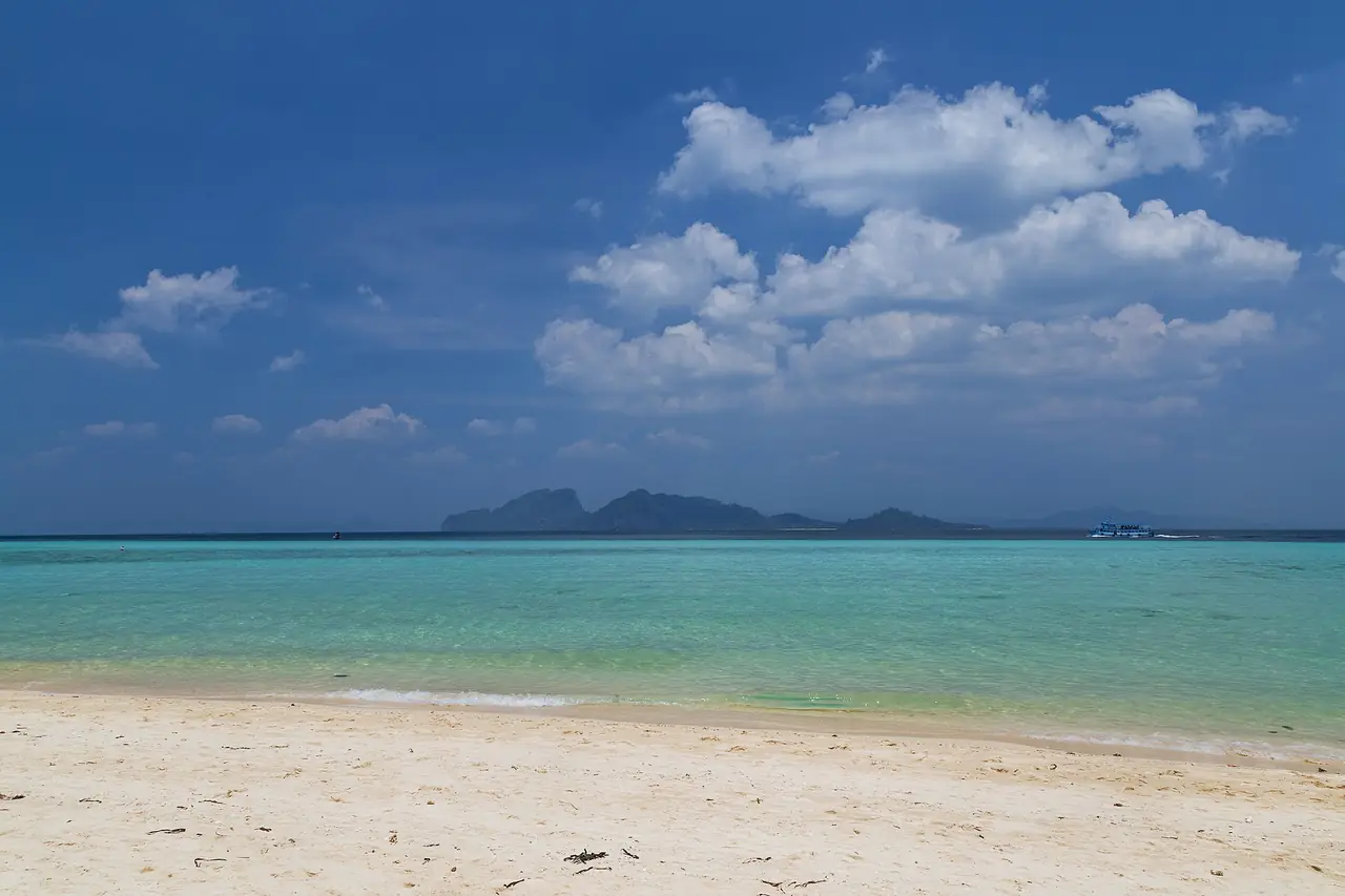
The DNP says the park lies in the Andaman Sea at the Strait of Malacca, in Mueang Satun district, and that its southern edge is only 4.8 km from the Thai-Malaysian border. It has 51 islands, including seven large ones: Tarutao, Adang, Rawi, Lipe, Klang, Batuang and Bisse. They form two groups, the Tarutao islands and the Adang-Rawi islands, which lie about 40 km west of Ko Tarutao.
The DNP also tells the island's history: a Corrections Department team landed on 13 July 1937 to build a penal settlement, political prisoners were later held there, and the forest department then set it up as a national park, gazetted on 19 April 1974 as Thailand's eighth national park. In 1982 it was recognised as an ASEAN Heritage Park.
2. Ao Phante Malaka and Ko Tarutao
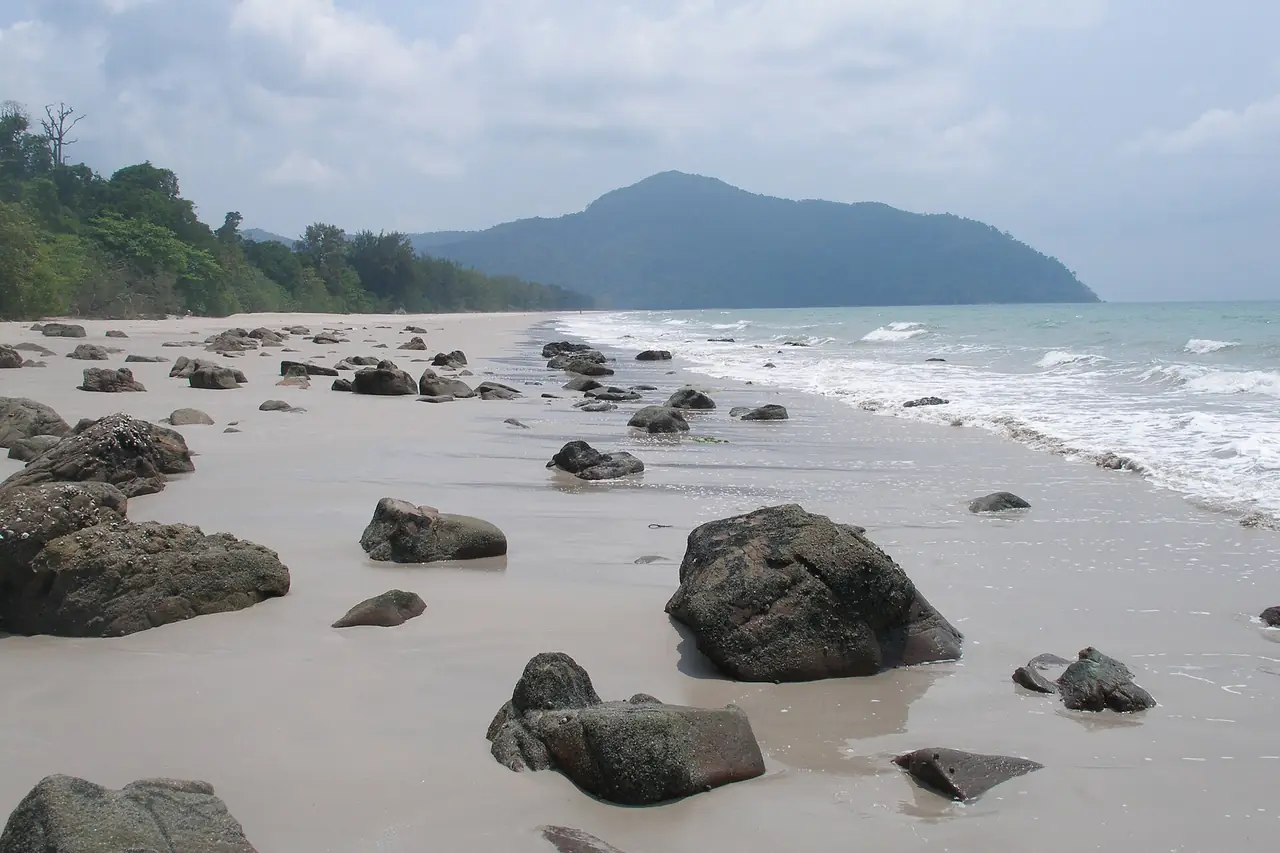
TAT says Ao Phante Malaka has a pristine white-sand beach, is where the Tarutao National Park office stands, and has a visitor centre with an exhibition on the island's nature and history. You can watch the sunset there or walk up to Pha To Bu for the view. Wikivoyage places Pha To Bu behind the park headquarters, about 60 m above sea level.
Wikivoyage and TAT list more places on Ko Tarutao: Ao Son, which Wikivoyage says is an egg-laying ground for sea turtles; Ao Talo Wao, the former prison site with replica buildings; Ao Talo Udang in the south, about 8 km from Langkawi; and Namtok Ludu, about 3 km along a nature trail from Ao Son. TAT says Ko Tarutao is the largest island in the park at 152 square kilometres and mostly mountainous with moist evergreen forest.
3. Tham Chorakhe
TAT says Tham Chorakhe is a cave 300 m deep with stalactites and stalagmites in many forms. You reach it by longtail boat in about 20 minutes along Khlong Phante Melaka, with mangroves on both banks, and need about an hour inside. Bring your own torch and ask at the Tarutao visitor service centre for details.
4. Ko Adang and Ko Rawi
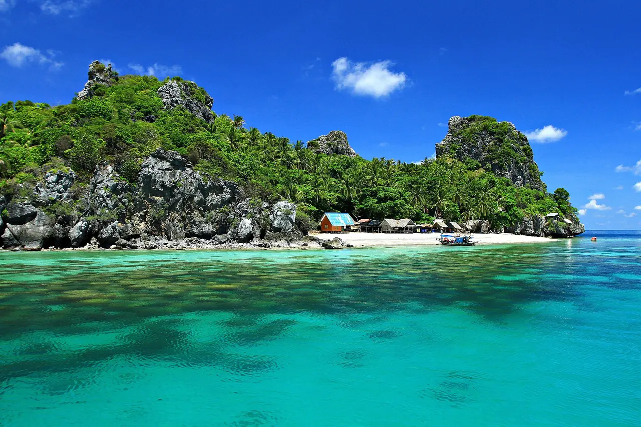
TAT says Ko Adang has Tarutao ranger station To To 5, covers about 30 square kilometres, has fine-sand beaches, and is surrounded by small islands including Lipe, Ko Dong, Hin Ngam and Ko Yang. It is described as a good place for skin-diving. There is a year-round waterfall called Namtok Chon Salat and a viewpoint called Pha Chado that takes about a 40-minute walk and is best at sunrise. Ko Rawi lies about 1 km from Ko Adang, covers about 29 square kilometres, and TAT says it has no accommodation, with visitors coming to swim and dive on the reef.
5. Ko Khai
TAT says Ko Khai is a small island between Ko Tarutao and the Adang group. Visitors can travel to it, but the park does not allow overnight stays. It has soft white sand, coral reefs around the island, and a natural stone arch regarded as the symbol of Tarutao National Park.
6. Ko Hin Ngam
TAT says Ko Hin Ngam lies south-west of Ko Adang and has black rocks in different shapes and patterns on the beach. A sign warns of the curse of Chaopho Tarutao on anyone who takes rocks or moves stones out of the national park. Whether or not you believe in the curse, the stones are inside a protected area, so leave them.
7. Koh Lipe
Wikivoyage says Ko Lipe has a community of Moken (Chao Le) who mostly fish, and that it has become a major tourist destination with many bungalow complexes on its two main beaches, Pattaya and Sunrise. For the island itself read our Koh Lipe guide, the how to get to Koh Lipe page, and the checked Koh Lipe where to stay guide.
8. Koh Bulon Lae
Wikivoyage says Ko Bulon Leh is a small island with comparatively little development, with no ATM and no cars or roads, so transport is on foot; it advises long sleeves, proper shoes and mosquito repellent for the forest. Pansand Resort says the island belongs to the Petra National Park archipelago, with a fishing village of about 100 Chao Lae people at Panka Bay on the west side, a 15-minute walk from the resort, and that longtail excursions can visit Bat Cave and Nose Cave. Wikivoyage describes walking through the village and rubber plantation to Mango Bay for rock pools and shells, and ghost crabs and hermit crabs on the beach at night.
9. Satun National Museum (Kuden Mansion)
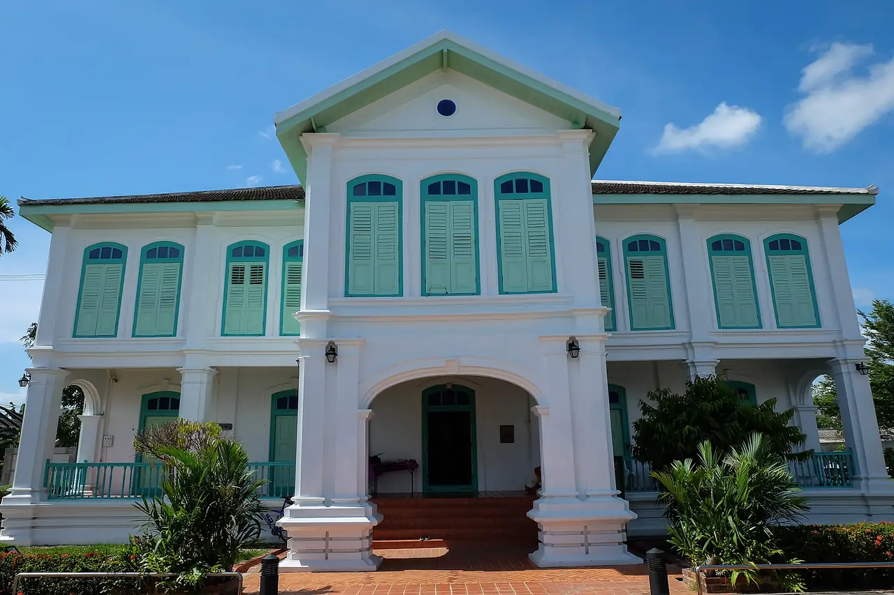
Wikivoyage says the Fine Arts Department rebuilt the Kuden Mansion in 1997 to 2000 as a two-storey Western-style brick building with a Thai hip roof covered in Spanish terracotta tiles and a star-shaped vent in the pediment in line with Islamic architecture. It is now the Satun National Museum, and half a day in town is enough.
10. Satun Central Mosque (Mambang) and Wat Chanathip Chaloem
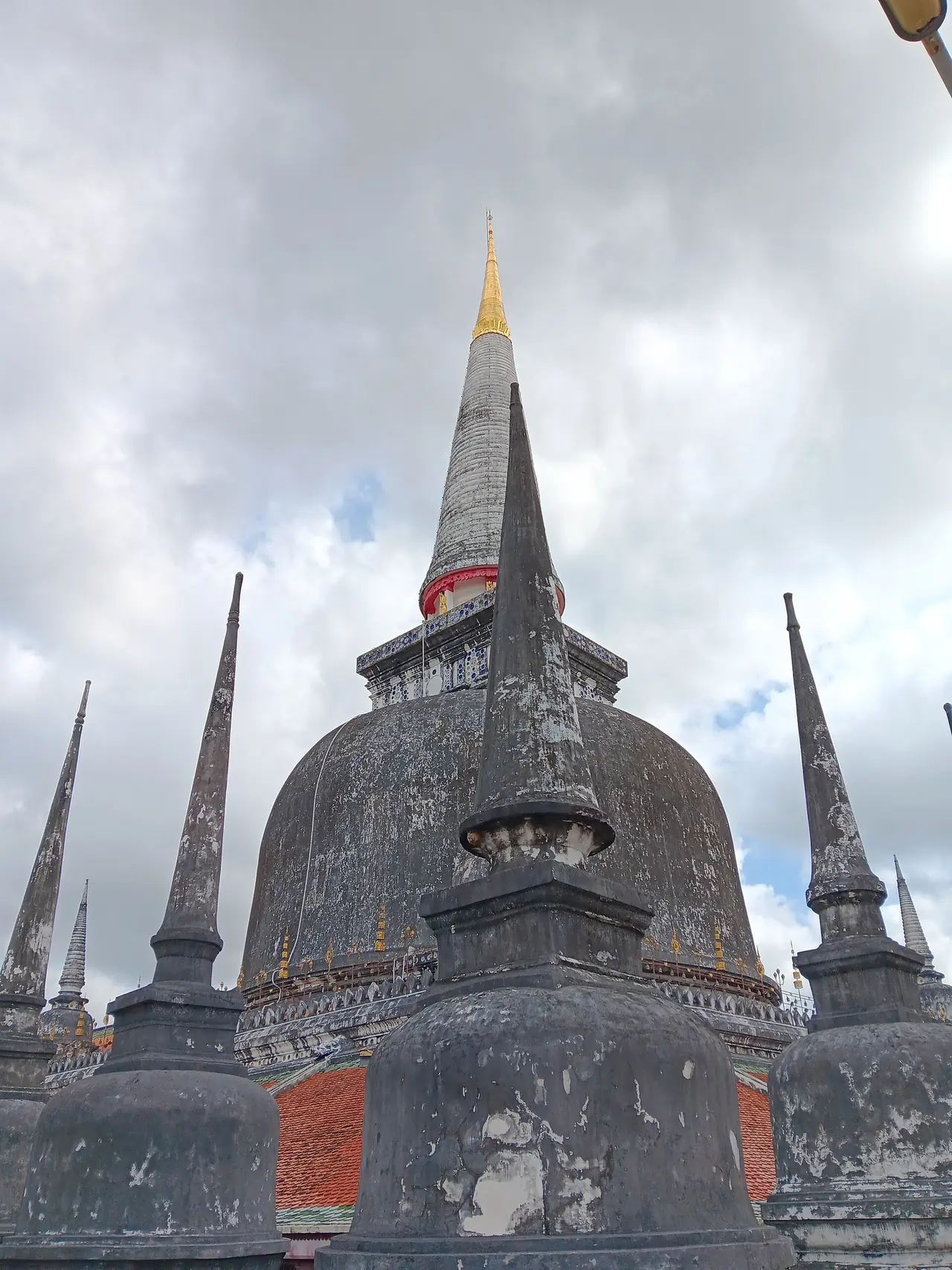
Wikivoyage describes the Satun Central Mosque, also called the Mambang Mosque, as a white modern building decorated with glazed tiles, marble and glass. Wat Chanathip Chaloem is the first Buddhist temple in Satun town, a two-storey building with a brick ground floor used as a preaching hall and a wooden upper floor for practice. Dress modestly and ask about visiting times before you go in.
11. Thale Ban National Park and Bueng Thale Ban
The DNP says Thale Ban is Thailand's 20th national park, declared on 27 October 1980, now covering 196 square kilometres next to Malaysia's Perlis state, with the highest peak in the Chin range at about 756 m. The name comes from a local phrase for the large freshwater swamp that formed when the ground sank between Khao Mot Daeng and Khao Chin.
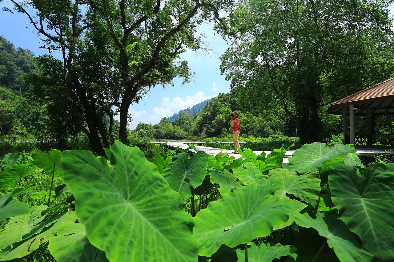
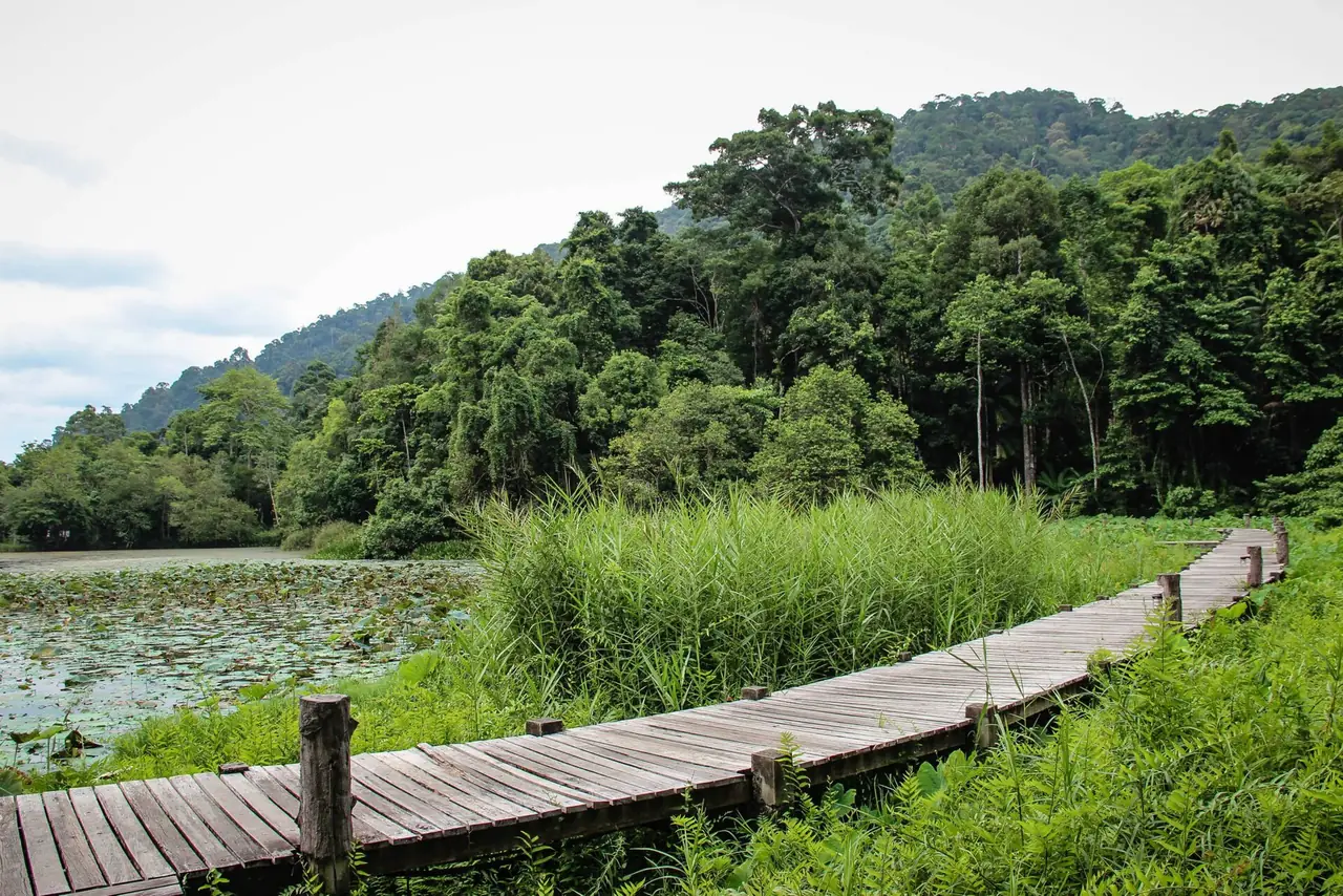
TAT says Bueng Thale Ban is a freshwater lake in a valley, covering about 125 rai, rich in fish and shellfish, ringed by dense bakong plants, with lakeside pavilions and a wooden path around it. The DNP adds that the park holds 8 of Thailand's 12 hornbill species, and that the frog called the dog frog is a symbol of the swamp, calling like a puppy at night. Wikivoyage places the Wang Prachan border checkpoint only 2 km from the park headquarters.
12. Waterfalls: Yaroi, Ton Plio, Panan and Thara Sawan
The DNP says Thale Ban has two fine waterfalls, Namtok Ya Roi and Namtok Ton Plio. Wikivoyage says Ton Plio falls in many tiers from a high cliff of Khao Chin. It also lists Namtok Panan in Tambon Thung Nui, 39 km from Satun town and flowing all year, and Namtok Thara Sawan Forest Park, declared by the Royal Forest Department on 23 July 1996.
13. Le Stegodon Cave and the Satun Geopark
TAT says Le Stegodon Cave is in Thung Wa subdistrict, in a long limestone range, and looks like a tunnel under a mountain about 4 km from mouth to exit, about 3 hours on foot. Fossils of elephants and rhinos from the Pleistocene were found, especially Stegodon, which gives the cave its name. You kayak to the end of the cave and switch to a motorboat to land at Ban Tha Oi pier. Staff and villagers help, torches and life jackets are provided, you should be ready to get wet, and you must contact the operators in advance because the sea level and visiting time are checked daily.
TAT also describes the Satun Geopark as limestone mountains with small islands and beaches, naming Le Stegodon Cave, Phu Pha Phet Cave, Jedkot Cave, Tanan Mountain, Hin Panyod Castle, Ko Khai, Ko Hin Ngam, Than Phlew Waterfall and Tan Sawan Waterfall. TAT calls it Thailand's first World Heritage Site announced by UNESCO, but Wikipedia's list of UNESCO Global Geoparks in Asia shows Satun as a UNESCO Global Geopark added in 2018, which is a different designation from a World Heritage Site. Use UNESCO's own wording.
14. Mu Ko Phetra National Park and Wang Sai Thong waterfall
The DNP says Mu Ko Phetra is the 49th national park, declared on 31 December 1984, covering 494.38 square kilometres across La-ngu and Thung Wa districts of Satun and Palian district of Trang, with more than 22 islands including Bulon Yai, Bulon Khi Nok and Ko Lidi. Wikivoyage says Namtok Wang Sai Thong has limestone shaped like multi-petalled lotus flowers on the bottom of each tier's pool, and Namtok Than Plio is a two-tier fall with a pool 40 m wide and 50 m long, on the Satun-Trang border.
15. Laem Tanyong Po, Hat Sai Yao and the town park
Wikivoyage says Laem Tanyong Po is a cape jutting into the Andaman Sea with a fishing village and a long beach fringed with coconut trees and fishermen's houses. It also describes the Khao To Phaya Wang public park in town, with tame monkeys. The author warns to watch your belongings because the monkeys snatch things, to bring fruit rather than snacks, and to go in the morning or around 16:00 when locals do.
16. The "bridge across time" at Pak Bara
The SPC Pak Bara page describes a sea cliff in Mu Ko Phetra National Park where red Cambrian sandstone meets Ordovician limestone, called the "bridge across time", with a boardwalk along Khao To Ngai. That comes from a boat company, not an official park page, so ask the park about the walkway and opening times before you go.
17. Tham Lot Puyu and the other Thale Ban caves
Wikivoyage says Khlong Tha Chin flows through Tham Lot Puyu, with mangrove forest along the canal and stalactites and stalagmites inside. The DNP says the limestone range on the western side of Thale Ban has been worn into several large caves, including Tham Ton Din, Tham Pha Diao and Tham Lot Puyu, in Ordovician limestone about 500 to 435 million years old.
18. Ao Nun, Hat Rawai and Ko Lidi Lek in Mu Ko Phetra
Wikivoyage says Ao Nun is where the Mu Ko Phetra park headquarters stands, Hat Rawai has a line of pine trees, and Ko Lidi Lek has a ranger station, a white beach and a mangrove forest that shelters many aquatic animals. It adds that Ko Bulon has scattered snorkelling and diving spots, such as Ko Ayam and Ko Hin Khao.
19. Prasat Hin Pan Yot and Ban Bo Chet Luk
The SPC Pak Bara page says Prasat Hin Pan Yot lies on Khao Yai island in the Mu Ko Phetra area, with emerald water and a beach enclosed by black limestone walls with many spires like a castle top, and that it can be done as a half-day trip. The same page tells a legend of Moken sea gypsies digging seven wells at Ban Bo Chet Luk before they found fresh water, and the DNP says the Bo Chet Luk village area was excluded from the park. These details come from a boat company and the DNP, not from an opening-hours page, so ask a tour operator or the park first.
20. Ko Dong, Ko Chabang and Ko Yang
Wikivoyage says the Ko Dong group lies on the farthest outer ring of the Adang-Rawi islands, about an hour from Ko Adang, with coral reefs in shallow and deep water and 4 to 5 satellite islands, one of which is Ko Hin Son with rocks that look stacked on top of each other. Ko Chabang is a small island where soft corals, sea anemones and colourful fish live around the submerged rocks.
21. La-ngu Local Museum
Wikivoyage describes the La-ngu Local Museum as a two-storey building, with local handicrafts and sweets for sale on the ground floor and brassware, earthenware and silverware from a private collection upstairs. It suits anyone staying in Pak Bara or La-ngu with spare time before a boat.
22. Beaches and bays on Ko Tarutao
Wikivoyage lists the beaches and bays of Ko Tarutao: Malacca and Molae beaches on the north-west side near park headquarters; Ta Lo Wow on the north-east, reached by road about 12 km from headquarters; Son, about 3 km long and the largest beach on the west side, where turtles come to lay eggs, though Wikivoyage warns that sea-borne rubbish is a problem; Makham bay in the south-west; and Ta Lo U-Dung bay in the south-east, with a view of tiny Singha island. The last two are reached by boat only.
23. Activities on Ko Tarutao
Wikivoyage lists hiking to Ludu Waterfall and the 80 m Tob-Bob cliff, birdwatching and wildlife viewing along the island's single quiet road, kayaking, cycling and snorkelling. It adds that park staff say better snorkelling is at Ko Lipe and Ko Adang, with a partial exception on the north-east side of Ko Tarutao, reached by chartered longtail boat. It also says Tham Jorakae, the Crocodile Cave, is a partly submerged cave among the mangroves that can be reached by rented kayak, and that despite the name there are no crocodiles.
Ko Tarutao in practice
Wikivoyage describes Ko Tarutao as 26.5 km long and 11 km wide, with a highest point above 700 m and the fourth-largest island in Thailand. The whole island is national park. About 18 km of road carries almost no traffic and can be walked or cycled, but off-trail hiking is not allowed. Beaches can be explored by boat or kayak, and there is no ATM on the island; the nearest are at Pak Bara or Koh Lipe. This section comes from Wikivoyage, which cites information up to 2024. Prices and rentals it lists may be out of date, so we do not copy them.
On getting back, Wikivoyage says boats to Koh Lipe stop at Tarutao on the way out, but boats returning to Pak Bara stop there only if park headquarters says at least 4 visitors are waiting (as of 2024). In practice you may need to go to Koh Lipe first and return from there, so ask the boat company in advance. It also says boats are only guaranteed to run in the morning.
On lodging, Wikivoyage says everything on the island is run by the national park service, with fan bungalows with their own bathroom, air-conditioned bungalows and tent spaces. It warns that electricity runs only about six hours a day, in the evening, from a diesel generator, and that the macaques are aggressive and may rip open tents to reach food, so keep food and scented items out of your tent. On booking, Wikivoyage says lodging cannot be booked online and you must phone the park, but the DNP page is titled as an accommodation and service reservation page and lists houses and camping grounds, so the two sources do not agree. Phone the Tarutao National Park office to confirm. The DNP page lists 0 7478 3485 and 0 7478 3597 and the email [email protected].
The DNP gives the Tarutao park office address as Tambon Pak Nam, La-ngu district, Satun 91110. Its reservation page lists 42 houses in groups named Tabun, Tabaek, Rak Thale and Adang, with Zone 1 (park office, Ko Tarutao) and Zone 3 (Laem Son, Ko Adang).
Nature and wildlife
The DNP divides the forests of Tarutao National Park into 7 types: evergreen forest, mixed deciduous or limestone forest, beach forest, peat swamp forest, mangrove, dwarf or scrub forest, and secondary forest. For wildlife it lists 30 mammal species, 268 birds and 30 reptiles, and in the sea bottlenose dolphins, leatherback, green and hawksbill turtles, rays and many corals. Wikivoyage says the animals you are most likely to see on Ko Tarutao are macaques, langurs, flying squirrels, mouse deer, bats and monitor lizards, and that the most dangerous resident is the rarely seen king cobra.
Thale Ban is different. The DNP says a survey found 406 animal species there: 64 mammals, 282 birds and 40 reptiles, with marbled cat, tapir, serow and white-handed gibbon among the mammals. It also mentions a single group of Sakai with 9 members and says their way of life is changing because the forest is being encroached on and they have more contact with town life. For Mu Ko Phetra the DNP lists dugong, slow loris, dusky langur and mouse deer among the mammals and says there are rich coral reefs.
History: from penal colony to national park
The DNP says the name Tarutao comes from the Malay "Talo Tera", meaning many bays, while Wikivoyage offers "Pulau Tertua", the island of old. The two sources explain the name differently, so treat each as that source's explanation, not a settled fact.
The DNP says an act on confining habitual criminals was passed in 1936 (B.E. 2479), the Corrections Department chose Ko Tarutao for a penal settlement, and a pioneer group surveyed Ao Talo Udang and Ao Talo Wao on 13 July 1937. Late in 1939, 70 political prisoners from the Boworadet and Corporals' rebellions were held at Ao Talo Udang. During the Second World War the island was cut off from the mainland and ran short of food and medicine. In early 1944 the guards turned to piracy against merchant ships, and the Thai government and British forces put it down in 1946. Two years later the Corrections Department closed the settlement. The forest department proposed a national park in 1972, a survey followed in 1973, and the park was gazetted on 19 April 1974.
Wikivoyage tells it similarly but says the prison ran from 1937 to 1948 with room for 3,000 prisoners, and calls it Thailand's first marine national park. TAT says the first batch of 500 prisoners arrived in 1938, rising to a peak of 3,000. The years differ a little by source.
Eating and drinking in Satun
Wikivoyage says restaurants in Satun town rarely have prominent signs, but most food is good Thai food with no Western franchises such as McDonald's or Starbucks, and it advises simply walking into any place that looks as if it serves food. Local food includes spicy Thai dishes, Chinese-style fare and Malaysian-influenced cooking such as roti canai, and the dessert it shows as an example is bunga puda, found in Satun and in Perlis in Malaysia.
For drinks, Wikivoyage says southern Thailand is predominantly Muslim, so alcohol is not as easy to find as in Bangkok, though some restaurants and most mini-marts sell it, and there are a few bars and karaoke places. Nightlife tends to be quiet. For Pak Bara it says almost nothing near the pier is open in the evening, and the nearby restaurants are Muslim places that do not serve beer or allow you to bring it in, so plan your evening meal before you arrive.
Satun without the islands
Many Thai searchers look for "Satun without the islands", and the facts above make a two-day route that follows only what the sources say. On day one, start in town with the Satun National Museum, the central mosque and Wat Chanathip Chaloem, then go to Laem Tanyong Po or the Khao To Phaya Wang park in the evening. On day two, drive to Thale Ban National Park, walk the wooden path by the lake and see the waterfalls. If you want an adventure, contact Le Stegodon Cave operators in advance, because TAT says the sea level and visiting time are checked daily.
Wikivoyage lists some events that may affect your plans: an International Kite Festival around February at Satun Airport, the Tarutao-Adang fishing club fair around March, and the Satun Marine Tourism Festival around December to mark the start of the marine season. These dates are approximate, so check the real dates locally.
Where to stay
We checked 8 places against their own official websites, in four areas.
- Satun town and Chalung: The Gleam Resort in town and Navakiri Boutique Resort in Chalung; good for the town or Thale Ban.
- Pak Bara: Seesea Resort and Inn Blog Hotel near the pier; good if you have a morning boat.
- Koh Bulon Lae: Pansand, Bulone Resort and Bulonhill, quiet island bungalows; no ATM on the island.
- Ko Tarutao: park houses and tent grounds listed on the DNP booking page.
Open where to stay in Satun for the area comparison table and the cards for all 8. That page quotes no room prices because we have no verified current source.
Nearby destinations
- Koh Lipe: the main tourist island of Tarutao National Park, reached from Pak Bara
- Trang: an Andaman city north of Satun with a train station and airport
- Songkhla: the province to the east
- Hat Yai: the biggest nearby airport hub
- Phatthalung: north of Songkhla, onward from Hat Yai
- Krabi and Koh Lanta: the Andaman coast to the north by boat or road
- Which Thai island suits you
- Thailand travel guide
FAQ
Does Satun have an airport?
Wikivoyage says the nearest airport to Satun town is Hat Yai, about 100 km away. It also mentions Satun Airport only in connection with a kite festival around February and does not say that commercial flights use it, so check with airlines and treat Hat Yai or Trang as your main gateways.
How do I get to Satun from Bangkok?
Overnight buses, which Wikivoyage lists at about 16.5 to 17.5 hours, or a flight or train to Hat Yai or Trang and then road transport. The 12Go page showed buses and taxis when we opened it on 16 October 2026. Check that the drop-off point is the one you need.
How far is Pak Bara from Satun town?
Wikivoyage gives 59 km from Pak Bara to Satun, 123 km to Trang and 124 km to Hat Yai. If you have a morning boat, sleeping in Pak Bara is easier.
What time do boats leave for Koh Lipe, Koh Bulon Lae and Tarutao?
The sources give about 11:30 for Koh Lipe and Tarutao and 12:30 for Koh Bulon Lae, with small differences between sources, and the times change with the season and sea. Confirm with the boat company or your accommodation before you pay.
When are the Adang-Rawi islands open?
The DNP says the tourism season is open from 16 November to 15 May and closed from 16 May to 15 November every year, for the Adang-Rawi islands only.
Can I stay overnight on Tarutao?
The DNP booking page lists houses, a camping ground and tents in the park zones, but gives no prices or availability, so use the DNP system or call the park office. TAT says overnight stays are not allowed on Ko Khai.
Is there an ATM on Koh Bulon Lae?
Wikivoyage says there is none, so bring enough cash. The longtail landing is a separate cost; Pansand says its ticket price does not include it.
What can I do in Satun without going to the islands?
The Satun National Museum, the central mosque, Wat Chanathip Chaloem, Laem Tanyong Po, Thale Ban National Park and the waterfalls, plus Le Stegodon Cave if you contact the operators in advance. See the sights section above.
Official sources and further reading
- Tarutao National Park (Department of National Parks, DNP)
- Thale Ban National Park (DNP)
- Mu Ko Phetra National Park (DNP)
- Satun (Wikivoyage)
- Pak Bara (Wikivoyage)
- Ko Bulon Leh (Wikivoyage)
- Ko Tarutao (Tourism Authority of Thailand)
- Ao Phante Malaka (TAT)
- Tham Chorakhe (TAT)
- Ko Adang (TAT)
- Ko Rawi (TAT)
- Ko Khai (TAT)
- Ko Hin-ngam (TAT)
- Bueng Thale Ban (TAT)
- Le Stegodon Cave (TAT)
- Satun Geopark (TAT)
- List of UNESCO Global Geoparks in Asia (Wikipedia)
- Satun Pakbara Speed Boat Club, Pakbara page
- Pansand Resort travel page
- Pansand Resort destination page
- Bulone Resort how to get here
- Bulonhill Resort getting around
- 12Go Bangkok to Satun
Prices, schedules and entry rules change. Figures here are approximate as of 2026; always confirm on the official or operator page before you book. Spotted something out of date? Tell us.