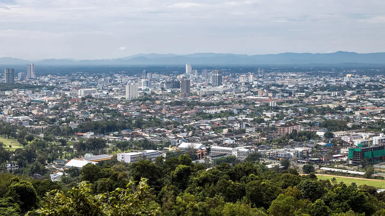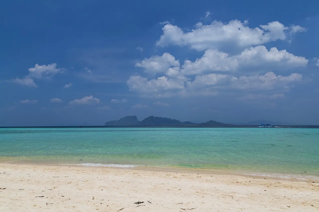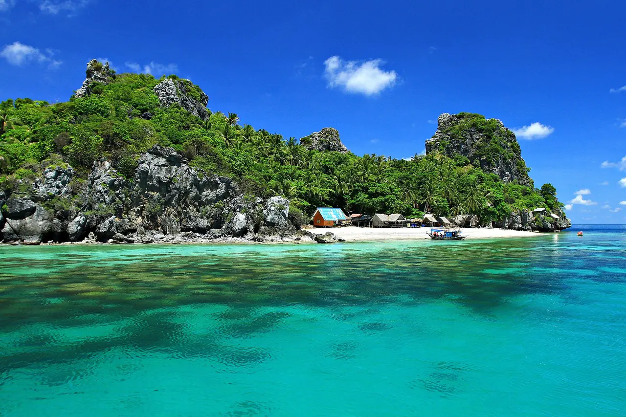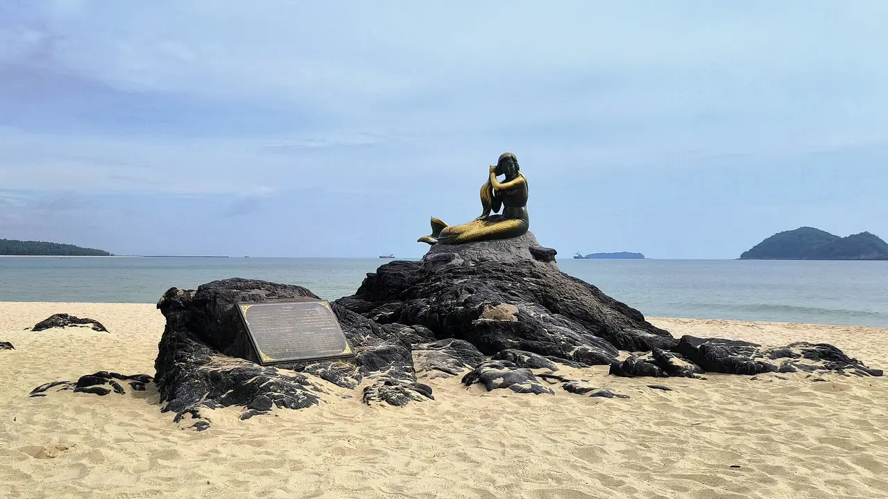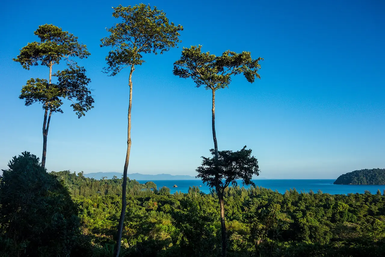
Ranong is a place people pass through on a night bus and then wonder why they did not stay longer. It is the northernmost province on Thailand's Andaman coast, squeezed onto the narrow Kra Isthmus, with Myanmar across the river estuary, mountains rising straight behind the town and some of the heaviest rain in the country. It has natural hot springs, mangrove forest, national parks, a border pier where longtail boats cross to Kawthaung, and two small islands, Koh Phayam and Koh Chang, where the roads are few and the beaches are long.
This guide is built from public sources we opened on 16 October 2026: Wikipedia, Wikivoyage, the UK Foreign Office, and the websites of the hotels and boat operators themselves. Where they disagree we show both numbers, and where we could not verify an opening hour, a fee or a border rule we say so. Our hotel list is in where to stay in Ranong, or in Thai, ที่พักระนอง.
What Ranong is, in numbers that do not quite agree
Wikipedia puts Ranong on the west coast along the Andaman Sea, next to Chumphon, Surat Thani and Phang Nga, and says it sits on the Kra Isthmus, only 44 km wide at its narrowest point between the Andaman Sea and the Gulf of Thailand. The town of Ranong lies on the estuary of the Pak Chan (Kraburi) River, opposite Kawthaung in Myanmar, with the Tenasserim Hills rising directly to the east. Wikipedia gives the town 16,909 people in 2024.
| Item | What we found |
|---|---|
| Distance from Bangkok | 568 km (Wikivoyage) against 586 km by road (Wikipedia's town article) |
| Area of the province | 3,298 square km (Wikivoyage) against 3,230 square km (Wikipedia) |
| Yearly rain | Over 4,500 mm for Ranong and Trat (Wikipedia, province article) against 4,183.1 mm for Ranong town in the same site's 1991 to 2020 table |
| Namtok Ngao National Park area | 668 square km (Wikipedia's province list and Wikivoyage) against 713 square km (the park's own Wikipedia article) |
| Size of Koh Phayam | About 2.23 square km (Wikipedia) against approximately 35 square km (The Blue Sky Resort's island page) |
Treat the differences as a reason to check on the day rather than a reason to doubt the place. The name itself, Wikipedia says, comes from a Thai phrase meaning full of minerals, a nod to the tin that once made the province rich.
Getting to Ranong
| From | How | What the sources say |
|---|---|---|
| Bangkok by air | Thai AirAsia from Don Mueang | Wikipedia lists Thai AirAsia from Bangkok Don Mueang and says there are no international flights to Ranong as of January 2025; Wikivoyage's note, last updated in 2022, says about two flights a day and no public transport from the airport |
| Bangkok by bus | Overnight from the Southern Bus Terminal | The Blue Sky Resort says an overnight bus leaves the Southern Bus Terminal at about 8.30 pm and arrives in the early morning; Wikivoyage says several night buses leave Ranong for Bangkok between about 7 pm and 8 pm |
| Bangkok by car | Highway 4 (Phet Kasem Road) | The Blue Sky Resort says the drive is around 8 to 9 hours |
| Bangkok, booking online | The 12Go route page | See below |
| From Chumphon | Minibus or bus | Wikivoyage says the nearest train station is in Chumphon and that minibuses take around 3 hours |
| From the south | Buses via Takua Pa and Khao Lak | Wikivoyage says buses connect Ranong with Phuket and Krabi via Takua Pa, Khao Lak and other points in Phang Nga |
| Airport to town | Pre-arranged van or a taxi | Wikipedia says the airport is about 24 km south of Ranong; The Blue Sky Resort Ranong says its van takes about 30 minutes |
The 12Go page for Bangkok to Ranong, which we opened in a real browser on 16 October 2026, was titled as bus, van, flight and taxi. Its editorial text said southbound buses leave the Southern Bus Terminal (Sai Tai Mai) and the journey takes eight to nine hours, with night buses the usual choice. We did not capture a list of operators, a number of departures or fares, so we quote none of those and you should read what the page shows on the day. Some links on this site may earn us a commission; that does not change the times or fares you see.
Ranong town: market, palace and pier
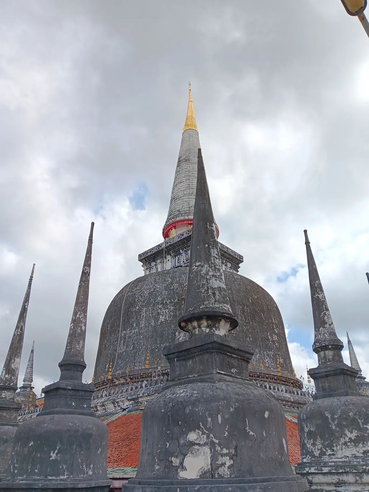
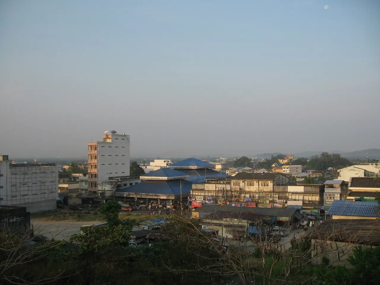
Wikivoyage calls Ranong a small border town with limited tourist magnetism, and that is much of its charm. Its sights are scattered rather than grand. It lists the Rattanarangsarn Palace, built as a throne hall for King Rama V's royal visit on 23 to 25 April 1890, the Ranong Governor's Grave, the Burmese-style chedi at Wat Suwan Khiri, and Wat Hat Som Paen, where a shoal of brook carp lives in the canal. It points to Phu Khao Ya, a treeless grass-covered hill the locals call Thailand's version of a Swiss pasture, and to waterfalls such as Namtok Punyaban, a 20 metre fall at km 597 on Highway 4 towards Chumphon.
A central market on Ruangrat Road has food stalls by day and Wikivoyage places the night market a short walk away. City songthaews run until about 21:00 by the same source, so a late evening may mean a walk. We could not verify opening hours or entrance fees for any of these places, so check on the day.
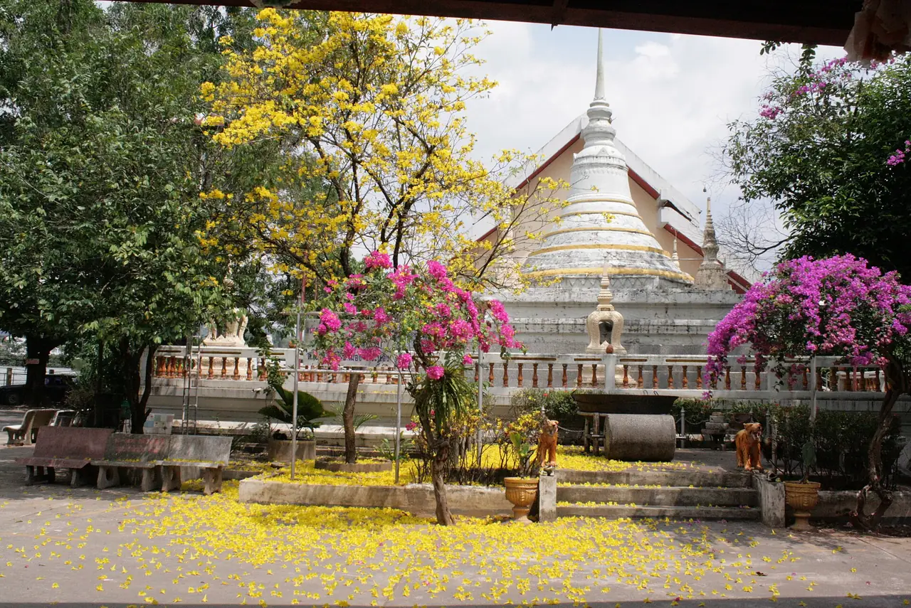
Raksawarin hot springs
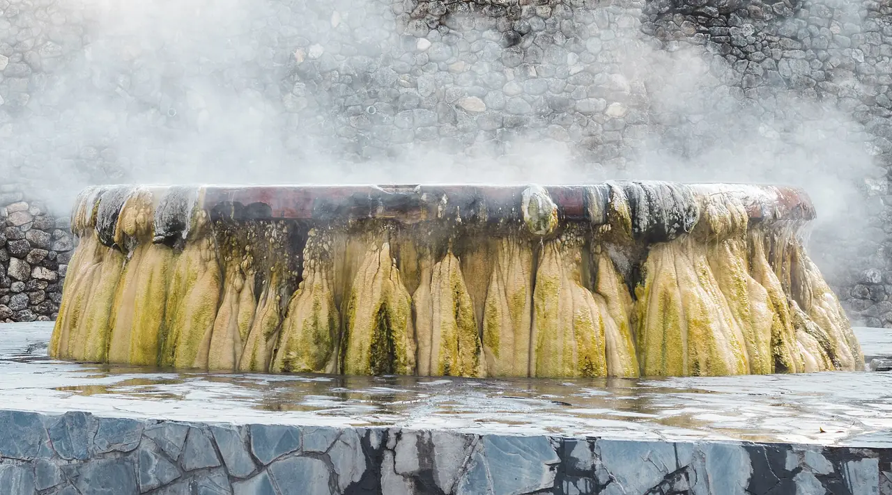
The hot springs are the reason many people stop. Wikivoyage describes three natural spring pools in Raksawarin Public Park where the water stays at about 65 C and an egg seller works nearby, with cooler bathing pools managed separately. Its entry gives the opening hours as 08:30 to 16:30, but that line was last updated in 2022 and a later note says the area has been expanded, with registered pools opened by an electric key and other pools upstream open to everyone, so we could not verify the hours or the rules. Treat the figures as a starting point and ask your hotel or the park.
A hotel in town, Numsai Khaosuay Resort, says its rooms have mineral water piped straight from a natural hot spring, which is a way to soak without visiting the park. We have not stayed there and that is the hotel's own statement.
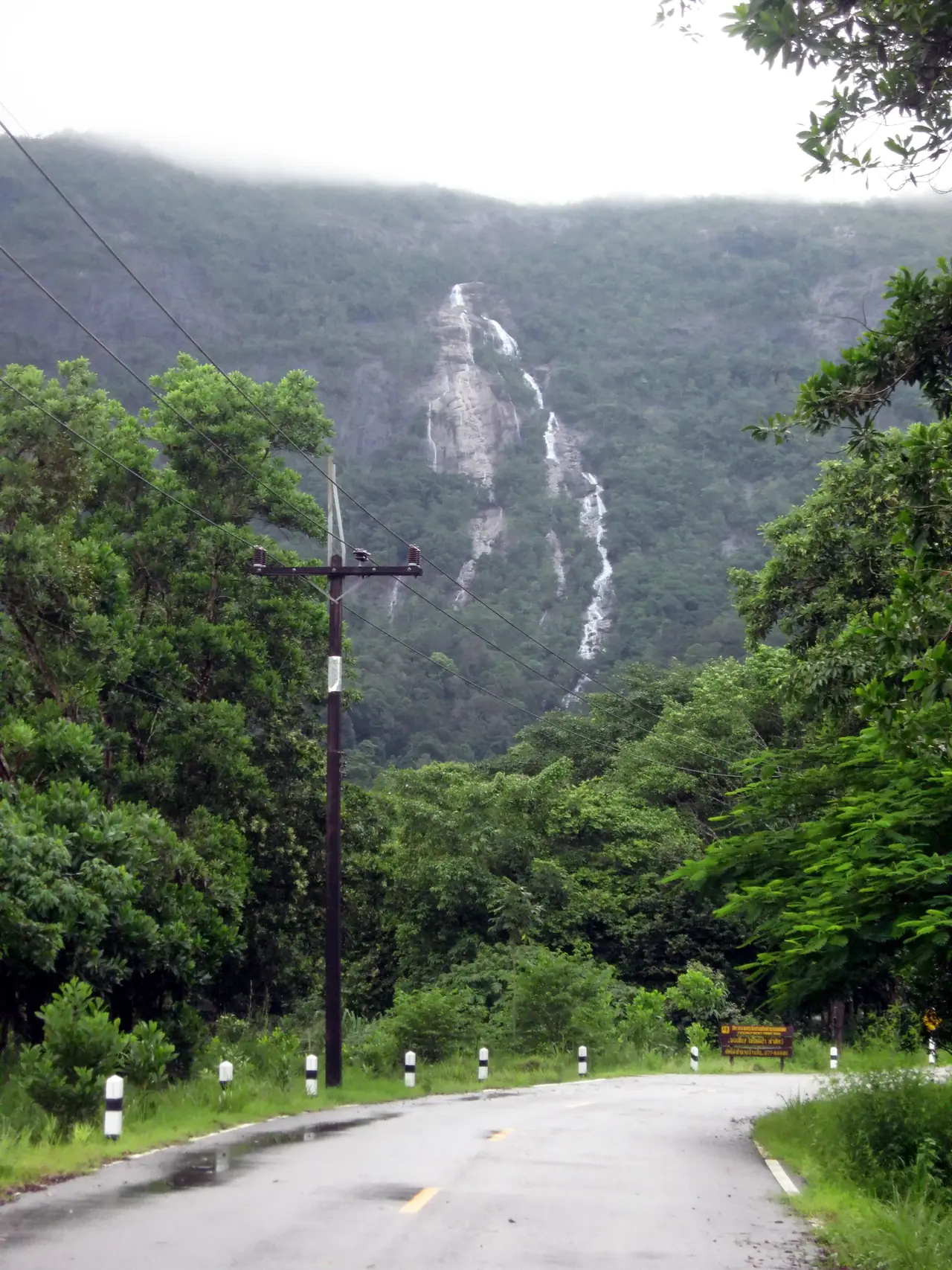
Ngao waterfall and Namtok Ngao National Park
Wikipedia says Namtok Ngao National Park is about 13 km from Ranong, with waterfalls, tropical forest and mountains, the highest point being Khao Nom Sao at 1,089 m. The namesake Ngao Waterfall is the park's highest, and other falls include Khlong Phrao at 36 m and the Bang Rin waterfalls. The park had 94,691 visitors in the 2024 fiscal year according to the table in Wikipedia's province article, the most of Ranong's four national parks. Wikivoyage lists other falls in the province, such as Namtok Ton Phet and Namtok Chum Saeng (the Rainbow Waterfall). We found no official fee or opening time, so check with the park before you go, and in the rainy season ask about road and trail conditions.
Kra Buri: estuary, isthmus and the border river
The district of Kra Buri is the northernmost in the province and lies about 58 km from Mueang Ranong by Wikipedia, between the Tenasserim Range and the Kraburi River. Wikipedia says its long estuary is protected as a Ramsar wetland, and that the area of Laem Son National Park, the Kapoe estuary and the Kra Buri River estuary became a designated Ramsar site in 2002. Wikivoyage says the Kra Isthmus gives a vantage point where the Kraburi River forms a natural boundary between Thailand and Myanmar, and that Khao Fa Chi lets you see the Kraburi and La-un rivers converge. Lam Nam Kra Buri National Park covers 160 square km and had 34,135 visitors in the 2024 fiscal year per Wikipedia. We could not verify visitor facilities, so ask locally.
Mangroves
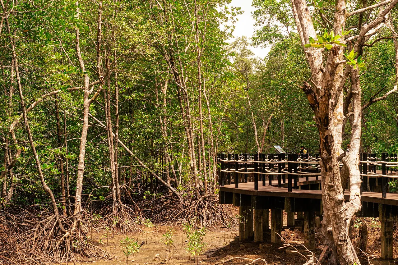
Wikivoyage describes Ranong as blessed with hot springs and relatively unspoiled mangrove forests. Wikipedia says the Ngao Mangrove Forest Research Centre, also known as the Ranong Biosphere Reserve, was declared in 1997 and is the fourth biosphere reserve of Thailand and the only one on the seacoast protecting mangrove forests. Wikivoyage's entry for the centre says it is temporarily closed as of 2026, so do not plan a visit without checking. The same guide lists a Mangrove Arboretum in the Khlong La-un area with a boardwalk of 1,500 metres. Hotels on Koh Phayam also mention mangrove forest, such as the one at the south of Buffalo Bay that one resort says can be explored at high tide.
Koh Phayam and Koh Chang
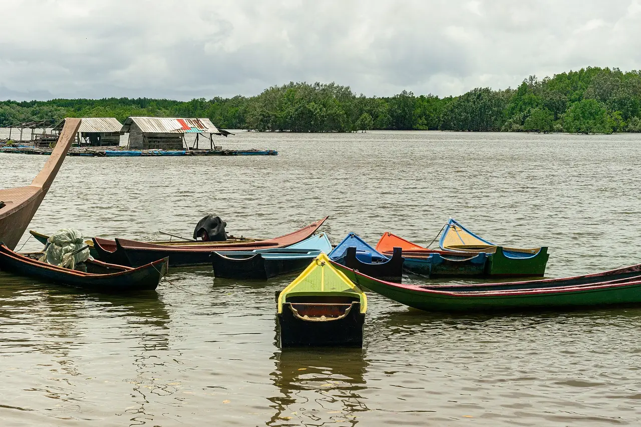
Both islands are reached by boat from the ferry terminal at Paknam. Wikivoyage puts it 4 km west of the town centre and says boats run several times a day in high season by longtail or ferry. The island resorts' own pages describe it differently: The Blue Sky Resort Koh Payam says speedboats run almost every hour and take about 45 minutes, with the ferry taking 2 to 2.5 hours, while Payam Cottage says speedboats and ferries normally run twice a day with more in high season. Check the pier on the day, and expect the wet months to be quieter.
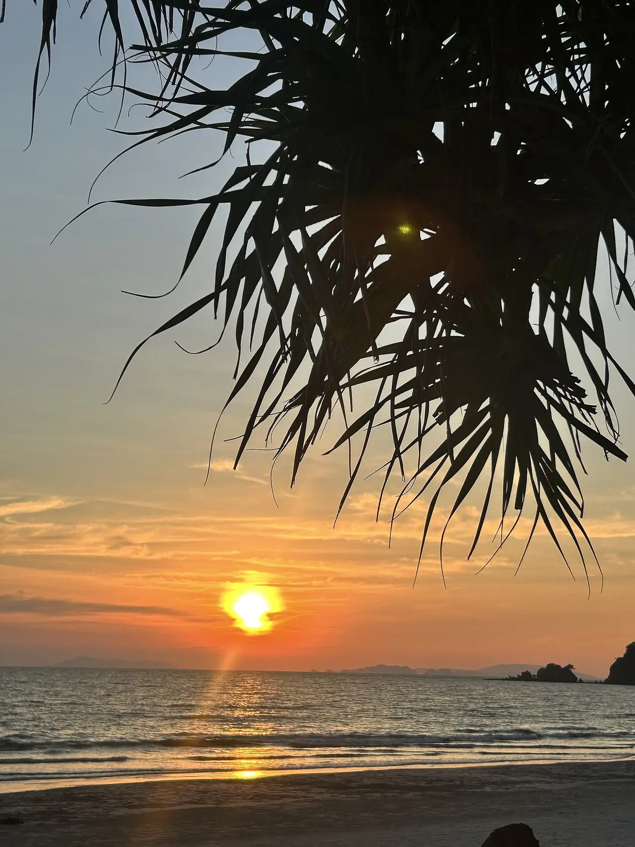
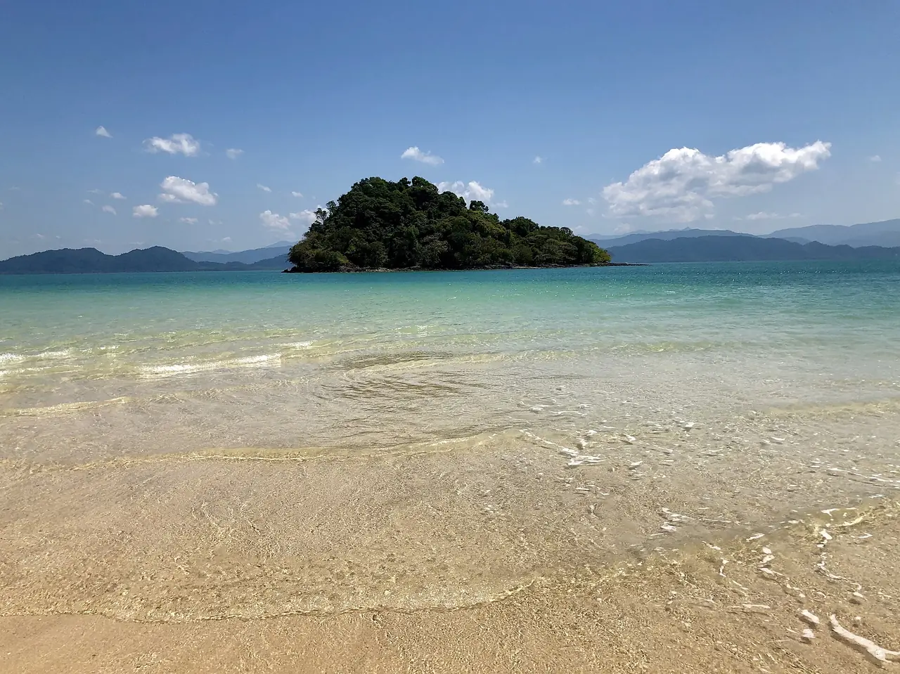
Wikivoyage says Koh Phayam is known for long fine white beaches and for cashew nuts, with a number of sea gypsies living on the island, and the resorts name two main bays: Ao Yai on the west, which hotels call the sunset bay, and Ao Khao Kwai, also called Buffalo Bay. Island resorts warn that there is no ATM on the island and that most shops do not take cards, and that electricity differs from resort to resort. Wikivoyage gives Koh Chang (Ranong) as 18 square km with about 80 homes and a living from cashew and rubber plantations and coastal fishing, a different island from the larger Koh Chang in Trat. Our stay guide covers hotels on both islands.
The Kawthaung boat to Myanmar
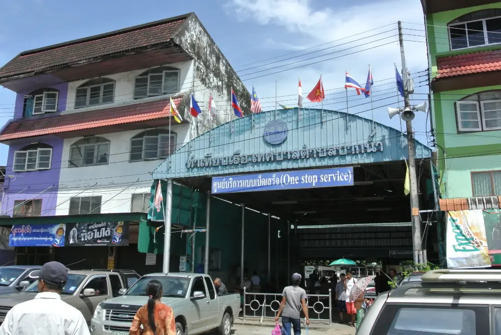
Wikivoyage says hundreds of longtail boats connect Ranong with Kawthaung in Myanmar, taking about 20 minutes, and that you must get stamped out at the immigration office before boarding. It also carries a note, dated 1 May 2026, that because of the civil war in Myanmar, entering Thailand from this border for tourism may be restricted. We did not verify the crossing, its fees or its hours, and we do not recommend it as a day trip.
The UK Foreign Office advises against all travel to the Tanintharyi Region excluding Myeik township, and the archipelago and townships south of Tanintharyi township, and against all but essential travel to the part of the region south of Tanintharyi township. We have not matched Kawthaung to one of those lines, so read the advice and map yourself. For visa runs, the same Foreign Office says visa-exempt entry for tourism through land-border checkpoints is normally limited to 2 entries per calendar year, so ask Thai immigration or your embassy before you plan one.
Diving and the wider coast
Wikivoyage says liveaboard dive trips to the Similan and Surin Islands and to the Mergui Archipelago in Myanmar can start from Ranong, with a dive season running from the end of October to May. Laem Son National Park, about 60 km south of Ranong, has 100 km of Andaman coastline according to Wikipedia. Wikivoyage adds that most dive companies for those islands are further south in Khao Lak and Phuket, so Khao Lak is the sensible neighbour to check.
The seasons
Wikipedia's 1991 to 2020 normals for Ranong town give about 4,183 mm of rain a year: roughly 41 mm in January, 20 mm in February, 78 mm in March, 154 mm in April, 486 mm in May, 638 mm in June, 706 mm in July, 772 mm in August, 679 mm in September, 421 mm in October, 130 mm in November and 59 mm in December, with about 168 rain days a year. Its town article says torrential rains fall from May until October, and its province article says the rainy season lasts about eight months. The Blue Sky Resort Koh Payam says the island does not face the monsoon rain and can be visited all year, but Wikivoyage's boat times are for high season and Koh Chang Resort says its speedboat runs only in high season, so expect fewer boats in the wet months and check before you cross.
Where to stay
Our Ranong stay guide checks 12 hotels against their own websites, in five areas:
- Ranong town: Blu Monkey Hub & Hotel, Farm House Hotel and Numsai Khaosuay Resort.
- Mainland coast and Kapoe: The Blue Sky Resort Ranong and Ranong Resort & Laguna.
- Koh Phayam, Ao Yai: Phayam Lodge Beach Resort and Aow Yai Bungalows.
- Koh Phayam, Ao Khao Kwai (Buffalo Bay): Marina Resort, Buffalo Bay Vacation Club and Payam Cottage Resort.
- Koh Phayam pier side and Koh Chang: The Blue Sky Resort Koh Payam and Koh Chang Resort.
Open the guide for the area table and the hotel cards.
Nearby destinations
- Chumphon: the next province north, with the nearest train station
- Phang Nga: the next province south
- Khao Lak: beaches and the Similan and Surin dive trips
- Surat Thani: across the peninsula on the Gulf side
- Bangkok: where most trips to Ranong start
- Thailand overview
FAQ
How do I get from Bangkok to Ranong?
By air with Thai AirAsia from Don Mueang per Wikipedia, or by overnight bus from the Southern Bus Terminal, which hotels and the 12Go page we opened on 16 October 2026 say takes eight to nine hours. We did not capture operators, departures or fares from 12Go, so check the page for your date.
What is there to do in Ranong?
Soak at the Raksawarin hot springs, visit Namtok Ngao National Park, walk the old market and the Rattanarangsarn Palace, see the mangroves, or take a boat to Koh Phayam. We could not verify opening hours or fees for the sights, so check on the day.
Are the Raksawarin hot springs open, and what do they cost?
We could not verify. Wikivoyage lists hours of 08:30 to 16:30 but says its entry is from 2022 and the area has since been expanded with registered pools, so ask locally before you go.
How do I get to Koh Phayam?
By boat from the ferry terminal at Paknam, 4 km west of the town centre per Wikivoyage. Hotel pages describe speedboats of about 45 minutes and slower ferries, and the boat times we found are for high season, so check the pier the day before.
Is the Kawthaung crossing to Myanmar open?
We could not verify. Wikivoyage warns that entry from this border may be restricted because of the civil war in Myanmar, and the UK Foreign Office advises against all travel or all but essential travel to different parts of Tanintharyi Region, so read the advice and check official sources first.
When is the best time to visit Ranong?
Rain is lowest from December to March on Wikipedia's town normals, with about 20 mm in February, and heaviest from May to October. Wikivoyage gives the dive season as the end of October to May. Boat times we found are for high season, so expect fewer boats in the wet months.
Is there an ATM on Koh Phayam?
Not according to the resorts. Payam Cottage and Koh Chang Resort both say there is no cash machine on the island, and Payam Cottage says most shops do not take cards, while The Blue Sky Resort Koh Payam says it accepts credit cards. Bring cash.
Where should I stay for one night in Ranong?
In town if you are catching a bus or boat the next morning. Blu Monkey Hub & Hotel and Farm House Hotel are on Ruangrat Road and Numsai Khaosuay Resort overlooks the main road. Our stay guide compares all five areas.
Official sources and further reading
- Ranong province (Wikipedia)
- Ranong (town, Wikipedia)
- Ranong (Wikivoyage)
- Ranong Airport (Wikipedia)
- Namtok Ngao National Park (Wikipedia)
- Laem Son National Park (Wikipedia)
- Kra Buri district (Wikipedia)
- Kra Isthmus (Wikipedia)
- Ko Phayam (Wikipedia)
- Kawthaung (Wikipedia)
- UK FCDO travel advice for Myanmar: warnings
- UK FCDO travel advice for Thailand: entry requirements
- The Blue Sky Resort Koh Payam: how to get to Koh Payam
- The Blue Sky Resort Koh Payam: island information
- The Blue Sky Resort Ranong: journey
- Payam Cottage Resort: how to get there
- 12Go: Bangkok to Ranong
Prices, schedules and entry rules change. Figures here are approximate as of 2026; always confirm on the official or operator page before you book. Spotted something out of date? Tell us.