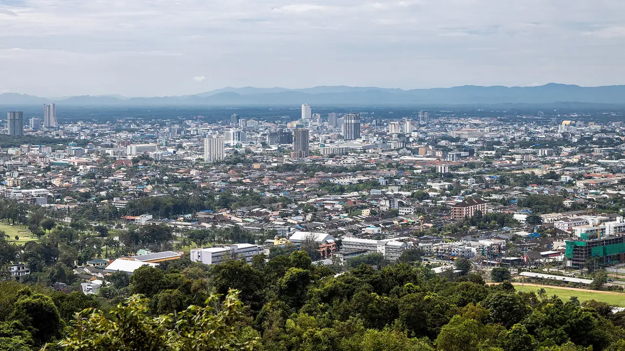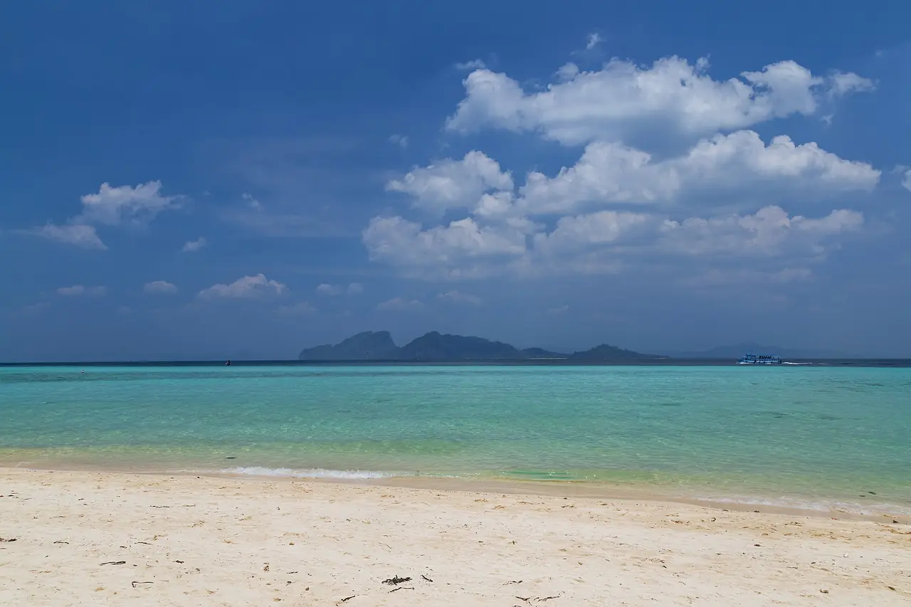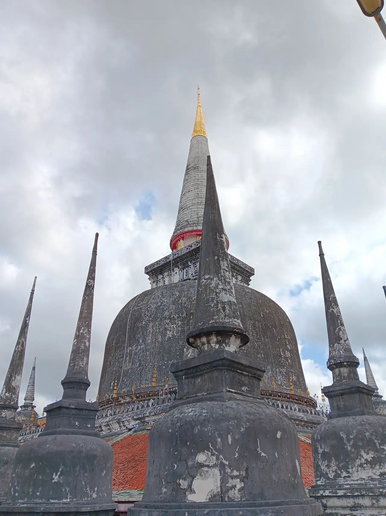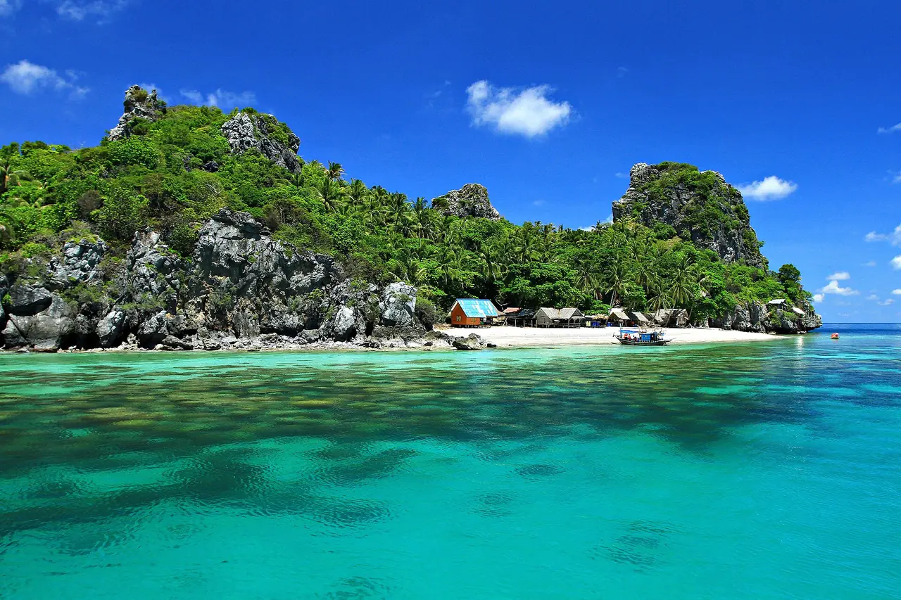
Phatthalung (Thai: พัทลุง, nicknamed "Mueang Lung" by southerners) sits in southern Thailand between the Banthat Mountains in the west and Songkhla Lake in the east. Wikipedia calls it essentially a landlocked province, one of only two in the south. The provincial motto recorded on Thai Wikipedia runs through its selling points in order: the land of shadow puppets and nora dance, rice fields, waterfalls, waterbirds, a beautiful lake, Khao Ok Thalu and hot springs.
This guide pulls together Wikipedia, Wikivoyage and Tourism Authority of Thailand (TAT) attraction pages that we opened on 16 October 2026. Every source is listed at the bottom. Where we could not verify something, such as the current opening hours of a site or the month when the lotus peaks, we say so and suggest you phone ahead.
What kind of province is it
The geography is easy to read. The west is mountain and forest on the edge of the Nakhon Si Thammarat range. The centre is lowland rice country. The east touches Songkhla Lake, which people in Phatthalung call Lampam Lake. That mix is why one small province offers waterfalls, caves, a wetland bird area and a hot spring.
English Wikipedia says Phatthalung was one of the twelve royal cities under the Ayutthaya Kingdom, and that in 1924 King Rama VI ordered the town moved to its present site in Khuha Sawan subdistrict. Thai Wikipedia notes that clay votive tablets with bodhisattva images were found in the caves at Khuha Sawan and Khao Ok Thalu, which suggests Buddhist use of the area for a very long time. In practice this is an old, unhurried provincial town, not a beach-resort destination.
Wikipedia puts Muslims at 11.1 percent of the population, and says many have some ethnic Malay ancestry but have intermarried with Thais over the centuries. Wikivoyage adds that alcohol is still widely available.
How to get to Phatthalung
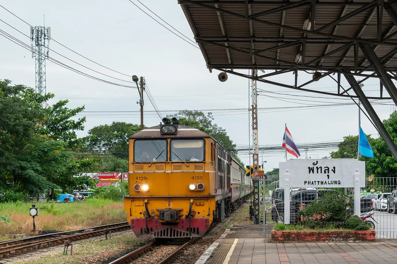
There is no airport. Wikipedia says the nearest one is Trang Airport, 66 km from the town centre, and Wikivoyage suggests flying to Trang or Hat Yai. From Bangkok the main options are the southern train line, a long-distance bus or driving. Phatthalung Railway Station is in the town.
| From | By | What the sources say |
|---|---|---|
| Bangkok | Southern line train | Wikivoyage says the State Railway of Thailand serves Phatthalung and gives about 16 hours overnight, but that text was last edited in 2018. Check the current timetable and fares on the State Railway of Thailand |
| Bangkok | Bus | 12Go showed 17 bus trips from THB 859 when we opened it on 16 October 2026, searching Sunday 18 October |
| Bangkok | Car | Wikipedia gives 851 km by road; Wikivoyage gives 860 km and suggests Highway 4 and then Highway 41 |
| Bangkok | Flight plus road | Fly to Trang or Hat Yai and continue. Wikipedia gives 66 km from Trang Airport |
| Hat Yai | Southern line train | Wikivoyage tells readers to take the train south to Hat Yai, so the same line works in reverse. See the Hat Yai guide |
| Trang | Road | Trang has the nearest airport. See the Trang guide |
Where the sources disagree
| Item | What we found |
|---|---|
| Distance from Bangkok | 851 km (English Wikipedia) against 860 km (Wikivoyage) |
| Height of Khao Ok Thalu | 177 m (English Wikipedia) against about 250 m (Thai Wikipedia and Wikivoyage) |
| Waterbird species at Thale Noi | 287 (TAT) against more than 180 (Wikivoyage) |
The gaps probably reflect different counting years or methods. We do not pick one. If you need the real figure, for example to plan a climb, ask the local office.
Booking the trip from Bangkok
The 12Go page for Bangkok to Phatthalung showed 22 trips from THB 296 to THB 17,437 when we opened it in a real browser on 16 October 2026, searching Sunday 18 October for two travellers. It listed 3 trains from THB 296 (Thai Railway), 17 buses from THB 859 (Transport Co) and 2 taxis. These are the figures the page showed at that moment, not guarantees, and prices change with date and availability. Some links on this site may earn us a commission, which does not change what you see. If you prefer to check at source, the railway timetable is on the State Railway of Thailand site.
Things to see in and around Phatthalung town
Khao Ok Thalu
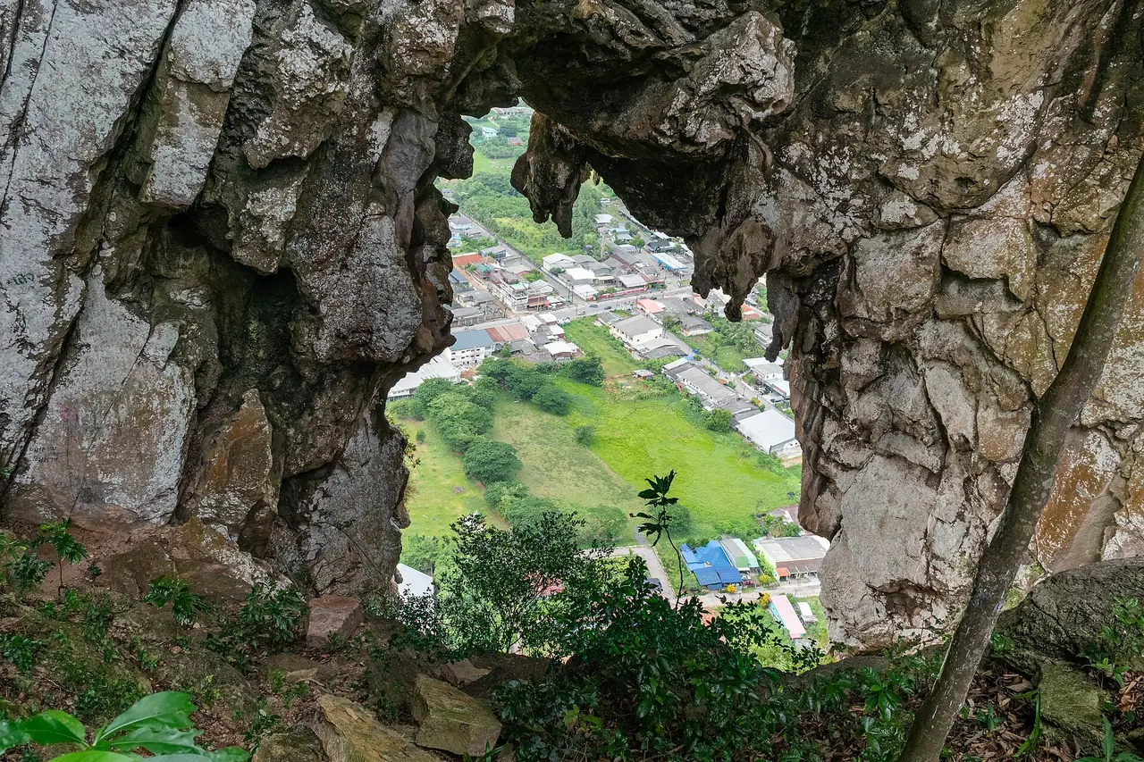
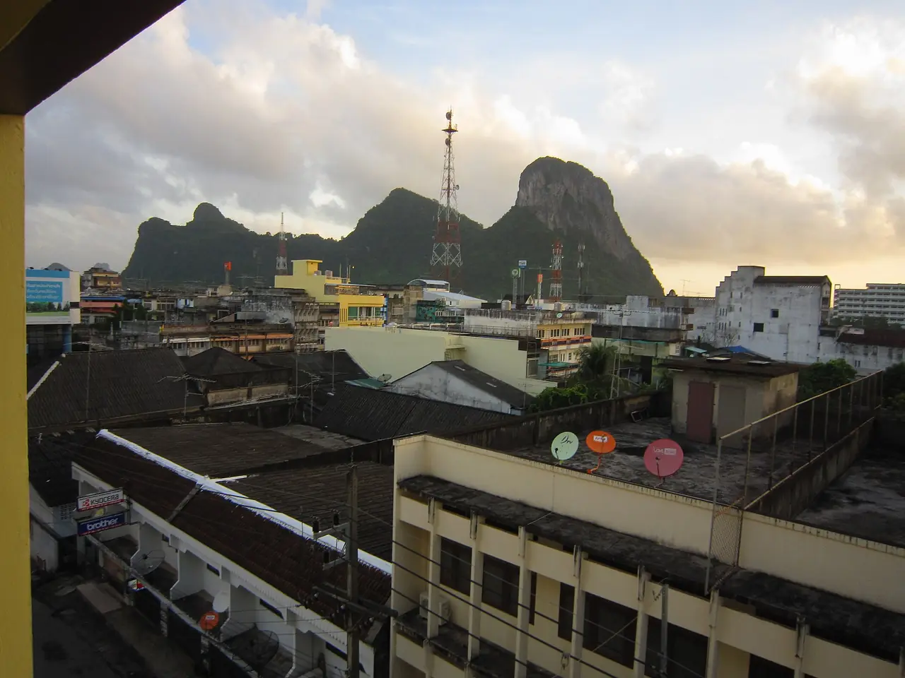
Khao Ok Thalu is the symbol of the province. The mountain and the chedi on its top appear on the provincial seal. Thai Wikipedia describes a limestone hill that locals regard as sacred, a kind of city pillar, with a hole about 10 metres across through its middle that gives the mountain its name, and a staircase up to a viewpoint over the town. Wikivoyage also mentions the stairs. Thai Wikipedia adds that the site currently lacks sustainable care and development, so wear shoes with grip and avoid heavy rain.
Wat Khuha Sawan
TAT places the temple at the foot of Khao Khuha Sawan near the town market and calls it one of the ancient monuments of Phatthalung, assumed to date from about the 8th to 10th centuries. Inside the cave are a giant reclining Buddha, a pagoda, other images and earthen votive tablets of the Srivijaya period. Stucco work in Tham Nang Khlot depicts folk tales. TAT gives opening hours of 8.00 to 17.00 daily; phone to confirm.
Wat Wang, Wat Khian Bang Kaeo and the old palaces
Wat Wang is about 6 km from town on Highway 4047, the same road as Khao Ok Thalu. TAT says it is assumed to be late Ayutthaya, was rebuilt in the reign of Rama III and restored in 1969. The ordination hall is Rattanakosin in style, with tempera murals assumed to date from the reign of Rama IV and 108 stucco Buddha images in the gallery around it.
Wat Khian Bang Kaeo has been tied to the old city of Phatthalung since the Srivijaya period. TAT describes an octagonal brick pagoda 22 metres high, said to hold relics brought from Sri Lanka, and compares its status to the Phra Borommathat of Nakhon Si Thammarat and Chaiya. The museum is kept locked, and visitors ask the abbot for the key. Wikivoyage also lists the old and new rulers' palaces, registered as ancient monuments in 1983, of which only parts remain.
Hat Saen Suk Lampam
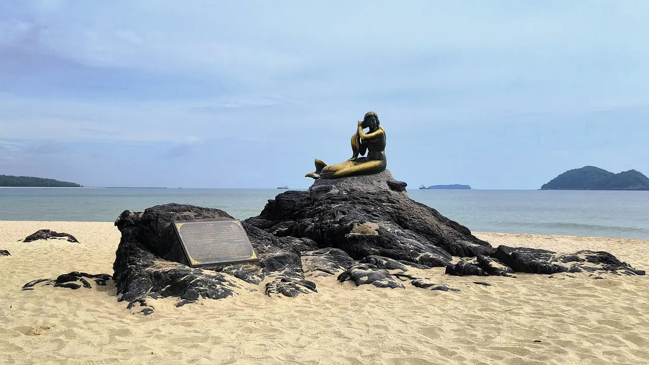
A sandy beach on Songkhla Lake with pine trees, about 2 km from Wat Wang. TAT mentions a pavilion jutting into the water as a viewpoint and a bridge to a small island, Ko Loi, formed by silt at the mouth of the Lampam River. It is a simple place for a sunset. Wikivoyage says the annual phon drumming contest is held here during the Chak Phra festival.
Thale Noi and the lake
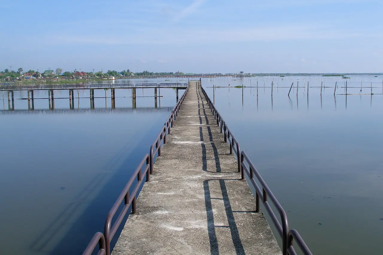
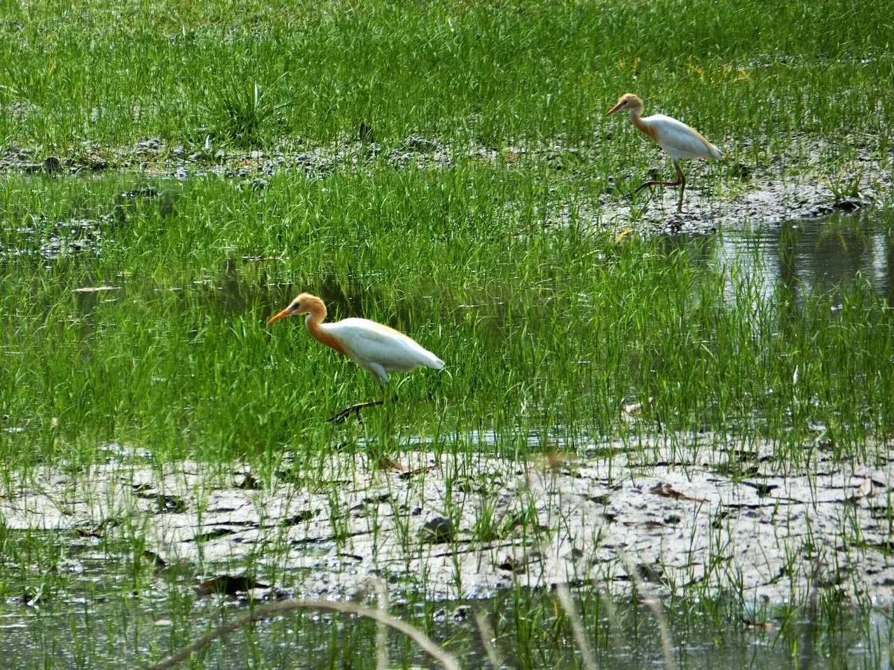
Thale Noi is the main reason most visitors come. TAT says it was declared a non-hunting area on 18 February 1975 and was the first one ever founded in Thailand. The Khuan Khi Sian peat swamp inside it became Thailand's first Ramsar site, registered on 13 May 1998, according to Thai Wikipedia. The wider wetland covers about 285,625 rai across Phatthalung, Songkhla and Nakhon Si Thammarat. The lake itself is about 5 km wide and 6 km long, with an average depth of about 1.25 metres.
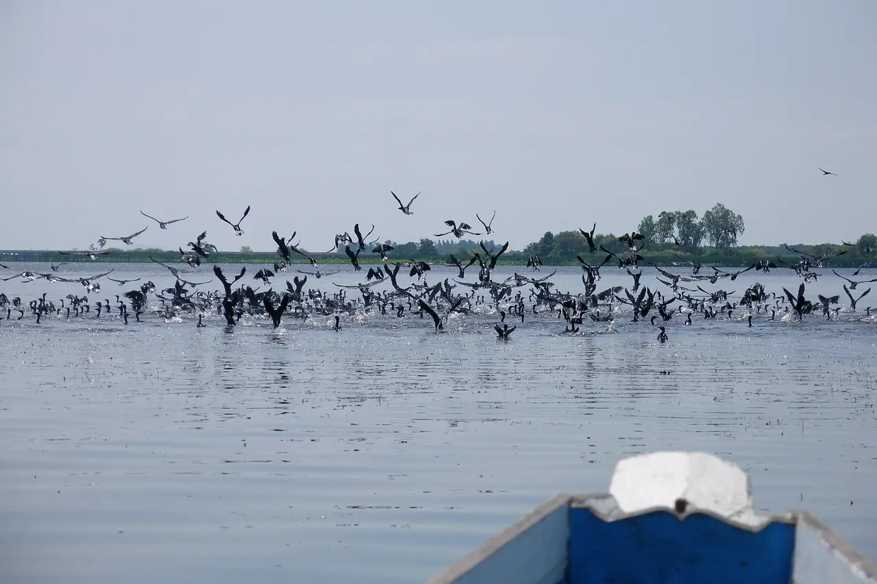
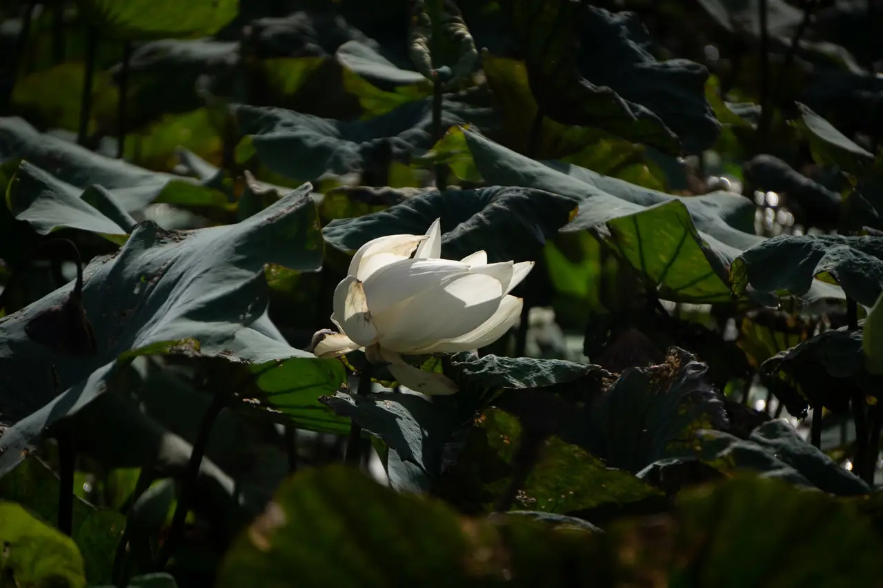
TAT lists what to look for: the Thale Noi Palace, the lotus that bloom in the morning, flocks of waterbirds, nesting grounds at Ao Mo and Khuan Thale Mong, the Khuan Khi Sian ranger station and the Sala Nang Riam viewpoint. It counts 287 waterbird species, resident and migratory, giving painted stork, black-headed ibis, grey heron and purple heron as examples. Wikivoyage says more than 180.
We could not verify the month when the lotus is at its best from an official page, only that it flowers in the morning. We also did not check boat fares or entry fees, so we give no figures. The best approach is to phone the ranger station or a boat operator for your dates and go early. The Dusit Princess website lists a dawn boat ride on Pak Pra Canal and Thale Noi among its experiences, which is another way to ask.
Laem Chong Thanon and fishing life
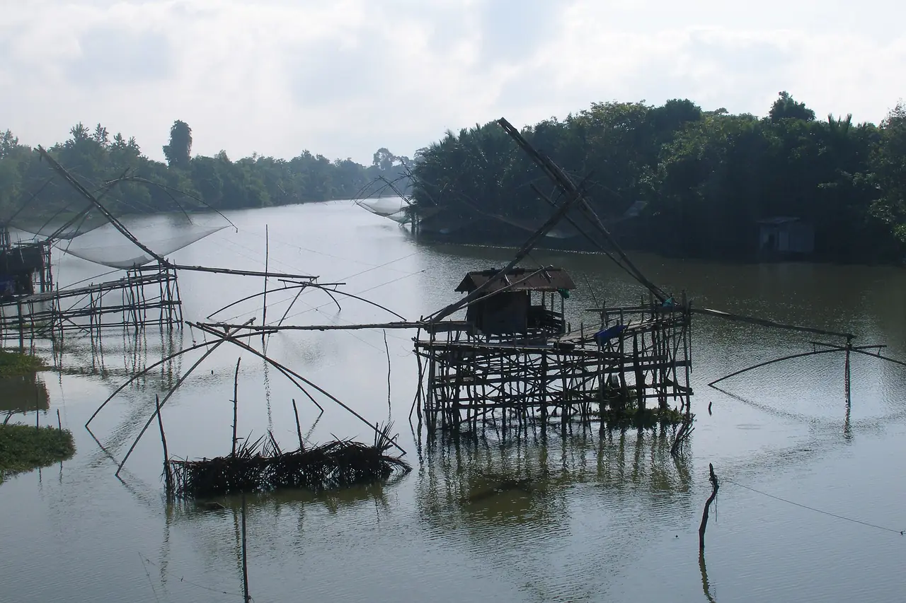
TAT describes Laem Chong Thanon as a fishing village on a cape jutting into Songkhla Lake, a viewpoint for sunrise. Fishermen still use traditional methods, including large local fish traps and a technique called lom mam, in which trees are planted in the water to attract fish before a net is drawn around them. TAT lists the lake seafood to try: shrimp, mantis shrimp, shellfish, crab, mullet, sea catfish and white bass.
Hills, waterfalls and the hot well
Khao Chaison Hot Well and Cool Stream
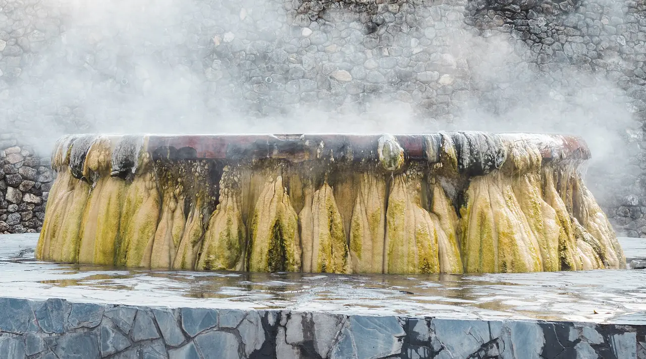
TAT says villagers regard the hot well as holy, with statues of Ta San and Yai Sun in front, and gives the water temperature as about 60 degrees Celsius. There are open-air baths and private rooms for soaking. TAT also claims the mineral water can help with some conditions, which we do not verify. If you have a health condition, ask a doctor, and test the heat carefully.
Namtok Phraiwan and Namtok Lan Mom Chui
Namtok Phraiwan is in the Khao Banthat Wildlife Reserve in Khlong Chaloem subdistrict, Kong Ra district. TAT says to take Highway 4 from town to the Kong Ra junction, turn right onto Highway 4122 for about 29 km and follow signs for 3 km more. It also says a minibus runs from the stop opposite Phatthalung Railway Station every 15 minutes from 7.00 to 17.00, with the last return from the waterfall at 15.00. That page is undated, so check before relying on it.
Namtok Lan Mom Chui is in the Ban Tamot wildlife protection unit area. TAT describes several tiers and a pool for swimming. We did not check hours or fees.
Khao Pu-Khao Ya National Park
Thai Wikipedia says the park was established in 1982, covers 701.74 sq km across Trang, Nakhon Si Thammarat and Phatthalung, and records 162 wildlife species. The highest point is Khao Hin Tan at 877 metres. TAT says the Pha Phueng cliff, 300 metres from park headquarters, has hundreds of bee hives every year from February to April, and that Tham Matcha Pla Won, 2 km away, has three halls. TAT gives the entrance fee as THB 100 for adults and THB 50 for children, and hours of 8.00 to 16.00. The page is undated, so phone the park first. Thai Wikipedia says accommodation is available inside the park.
Tham Sumano
In Ban Na subdistrict, Mueang Phatthalung, TAT describes 18 caves spread over two hills, many linked and used for meditation, with a trail map at the foot of the hill. Dress modestly, since it is a practice site.
Shadow puppets, crafts and festivals
Wikivoyage names Phatthalung as the birthplace of nang talung shadow puppets and nora dance. English Wikipedia describes nang talung as cut buffalo or cow hide puppets, typically 15 to 50 centimetres, worked against a lit white screen with a narrator and musicians. It adds that the art is slowly disappearing and that there is a campaign to preserve it.
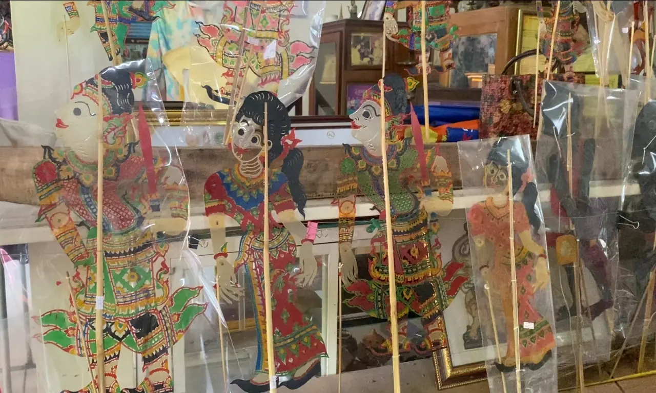
To see the craft, TAT lists the Bang Kaeo Shadow Puppet Figure and Handicraft Centre in Tha Maduea subdistrict, 36 km from town, where 25 members carve hide into nang talung and nang yai figures sold across Thailand and in more than 15 countries. Contact the village chairman in advance. TAT also lists the Coconut Shell Handicraft Centre in Chai Buri, about 6 km from town, which makes spoons, coffee cups, ladles and lamps from coconut shell. Wikivoyage lists local souvenirs as coconut toffee (kalamae), crispy banana chips, velvet tamarind candy and crispy baked prawns.
Two events are worth planning around. The Chak Phra festival with its phon drum contest is held in the eleventh lunar month at the end of Buddhist Lent, according to Wikivoyage. The Thale Noi bird-watching festival, begun in 1998, also appears there. Both change dates each year, so check TAT.
Sample plans
These plans are our suggestions based on where the sources place each site. They are not timetables, and we did not verify every opening time.
- One day in town: Khao Ok Thalu in the morning, then Wat Khuha Sawan near the market. In the afternoon, Wat Wang and Hat Saen Suk Lampam on Highway 4047, and stay for sunset.
- Two days, nature first: Day one in town. Day two, Thale Noi early for birds and lotus before the heat, then Pak Pra or Laem Chong Thanon. With a car, finish at Khao Chaison hot well.
- Three days, adding hills and crafts: Add Namtok Phraiwan or Khao Pu-Khao Ya for forest, and the Bang Kaeo puppet village and the coconut shell centre for crafts.
Seasons and planning
We did not find an official page naming the best months, so we do not pick one. What sources do say is specific to each place: bees nest at Pha Phueng from February to April, and lotus flower in the morning. Lakes and waterfalls depend on rain. Check the Thai Meteorological Department before you go, and see Thailand's best time by region for the national picture. Heavy rain can make the Khao Ok Thalu stairs slippery and may stop bird-watching boats.
Where to stay
We only publish a dedicated stay page when we can check at least 8 hotels against their own official websites. For Phatthalung only three official hotel sites could be fetched and quote-checked, so there is no full stay page yet. Here is the practical summary.
- Phatthalung town: Dusit Princess Phatthalung says on its site that it has 132 rooms and suites, an outdoor swimming pool, a 5-minute drive to the city and a 30-minute drive to Thale Noi. Siva Royal Hotel Phatthalung says in Thai that it is in the centre of town and lists free Wi-Fi and a fitness centre.
- Pak Pra, on the lake shore: Sri Pakpra Boutique Resort places itself in Phanang Tung subdistrict, Khuan Khanun district, 75 km and about one hour from Trang Airport, with complimentary canoes and bicycles.
Choose the town for temples, the market and the train. Choose the lake shore if Thale Noi at dawn is the point. Check room rates on each hotel's own site, since we list none. For a wider choice, Hat Yai is on the same rail line; see where to stay in Hat Yai.
Nearby destinations
- Hat Yai: the southern transport hub, with trains and vans.
- Songkhla: the other side of Songkhla Lake.
- Trang: the nearest airport and a gateway to the Andaman islands.
- Nakhon Si Thammarat: an old city with a major relic chedi, farther north on the same rail line.
- Satun: further south-west, for Koh Lipe and the Andaman coast.
- Getting around Thailand
- Thailand travel guide
Frequently asked questions
Does Phatthalung have an airport?
No. Wikipedia says the nearest is Trang Airport, 66 km from the town centre, and Wikivoyage suggests Trang or Hat Yai. Fly in and continue by train or road.
How do I get to Phatthalung from Bangkok?
By the southern line train, a long-distance bus, or by road. On 16 October 2026 the 12Go route page showed 3 trains from THB 296 and 17 buses from THB 859. Prices vary by date, so check the railway's own timetable too.
Does Phatthalung have a beach?
No. Wikipedia describes it as essentially landlocked. You get Songkhla Lake and Thale Noi instead. For a sea beach, go to Songkhla or Trang.
What is there to see at Thale Noi?
TAT lists the Thale Noi Palace, lotus that bloom in the morning, waterbird flocks, nesting grounds at Ao Mo and the Sala Nang Riam viewpoint. It is Thailand's first non-hunting area, and its Khuan Khi Sian peat swamp is Thailand's first Ramsar site.
How high is Khao Ok Thalu?
Sources disagree: 177 m on English Wikipedia, about 250 m on Thai Wikipedia and Wikivoyage. A staircase leads up to a viewpoint through a hole about 10 metres across.
Do I need a car in Phatthalung?
The town is walkable for temples and the market, but Thale Noi, the waterfalls, the hot well and the national park are far apart. The only public minibus we found was TAT's note about a service from the station to Namtok Phraiwan, so hire a car or driver for several stops.
How much is the Khao Pu-Khao Ya entrance fee?
The TAT page says THB 100 for adults and THB 50 for children, open 8.00 to 16.00. It is undated, so phone the park first.
Where can I see nang talung shadow puppets?
TAT recommends the Bang Kaeo Shadow Puppet Figure and Handicraft Centre in Tha Maduea subdistrict, which carves puppet figures for sale. We found no fixed schedule for live shows, so ask your hotel or the provincial tourism office about performances during your dates.
Official sources and further reading
- Phatthalung province (Wikipedia)
- Phatthalung (Wikivoyage)
- Phatthalung, Thai Wikipedia
- Thale Noi, Thai Wikipedia
- Khao Ok Thalu, Thai Wikipedia
- Khao Pu-Khao Ya National Park, Thai Wikipedia
- Nang talung (Wikipedia)
- TAT: Thale Noi
- TAT: Wat Khuha Sawan
- TAT: Wat Khian Bang Kaeo
- TAT: Wat Wang
- TAT: Hat Saen Suk Lampam
- TAT: Laem Chong Thanon
- TAT: Khao Chaison Hot Well and Cool Stream
- TAT: Namtok Phraiwan
- TAT: Namtok Lan Mom Chui
- TAT: Khao Pu-Khao Ya National Park
- TAT: Tham Sumano
- TAT: Bang Kaeo Shadow Puppet Centre
- TAT: Coconut Shell Handicraft Centre
- 12Go: Bangkok to Phatthalung
- State Railway of Thailand
- Dusit Princess Phatthalung
- Sri Pakpra Boutique Resort
- Siva Royal Hotel Phatthalung
- Thai Meteorological Department
Prices, schedules and entry rules change. Figures here are approximate as of 2026; always confirm on the official or operator page before you book. Spotted something out of date? Tell us.