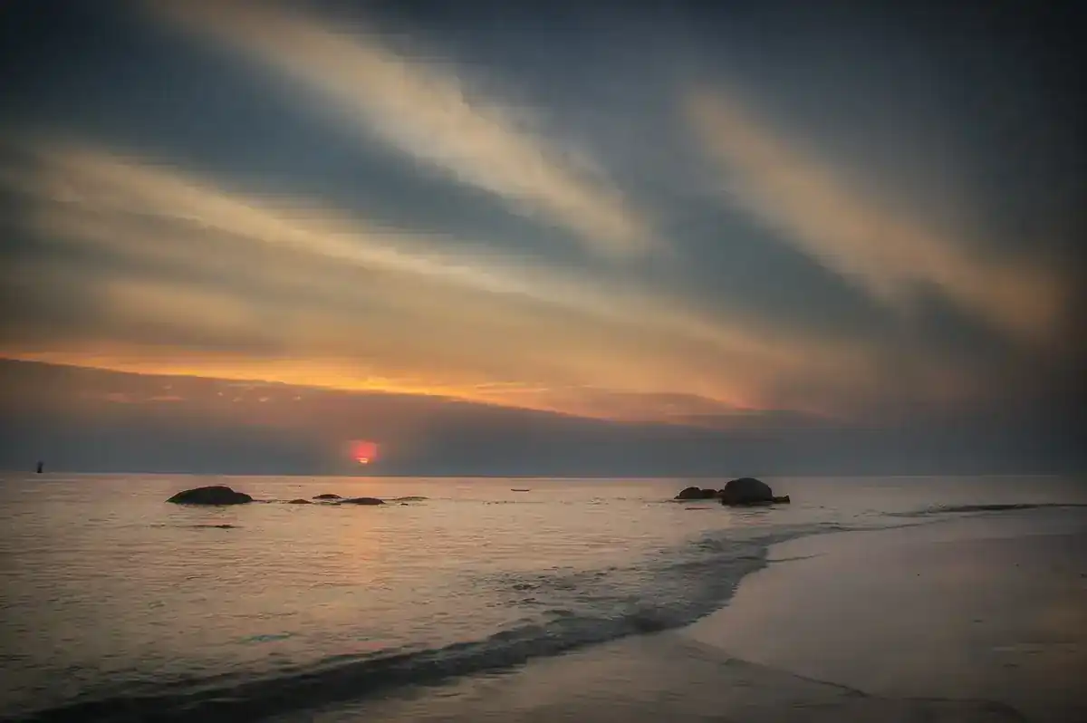
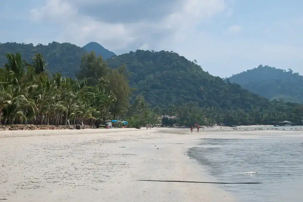
Samut Sakhon is the province Bangkokians know by the word "Mahachai", the old name of the town and the name of one of the country's biggest seafood markets. Wikivoyage places the town at the mouth of the Tha Chin River, 2 km from the sea and 36 km from Bangkok. English Wikipedia lists it as the fourth smallest province, at 866 square kilometres.
This guide draws on the provincial website, Tourism Authority of Thailand (TAT) pages, Wikipedia, Wikivoyage, Thai Holiday Guide, the hotel sites we could check, and the 12Go page we opened on 16 October 2026. Checked 19 Oct 2026. Where sources disagree we show both values, and what we could not verify is called unconfirmed.
Deeper guides
The detailed pages are in Thai, with hours, tables of conflicting sources and lists of what is unconfirmed (checked 19 Oct 2026). The English page so far is the Samut Sakhon where-to-stay guide.
- Mahachai Market, Tha Chalom, the ferry and Wat Krok Krak (in Thai)
- Old temples, Wichian Chodok Fort and the city pillar shrine (in Thai)
- Phanthai Norasing shrine, Wat Khok Kham, the Red Bridge and Phra Klang Nam (in Thai)
- Salt pans, Don Kai Di benjarong and Ban Rang Chan (in Thai)
- Getting to Samut Sakhon: Maeklong train, ferry and day plans (in Thai)
Where the sources disagree
No official source gives opening hours for the markets, temples and fort, so all of those hours are unconfirmed. Check on the day.
| Topic | Source A | Source B |
|---|---|---|
| Mahachai Market hours | TAT 05:00 to 19:00 | Wikivoyage and Thai Holiday Guide 05:00 to 18:00 |
| Talat Talay Thai hours | TAT open from midnight | Wikivoyage 04:00 to 18:00 |
| Wat Krok Krak | Thai Wikipedia built 1832 (B.E. 2375); Wikivoyage 06:00 to 18:00 | Provincial site and TAT: date uncertain; Thai Holiday Guide 08:30 to 17:30 |
| King in the Phanthai Norasing story | Provincial site and Thai Wikipedia: King Suea | TAT: King Thaisa |
| Phra Klang Nam | Provincial site: access broken, no hours | TAT 07:00 to 18:00; Thai Holiday Guide 06:00 to 21:00 |
| Salt-making season | Thai Wikipedia: starts around October or November | Thai Holiday Guide: best January to April |
| Mahachai train times | Thai Wikipedia: leaving Mahachai 04:30 to 19:00 | Wikivoyage: leaving Wongwian Yai 05:30 to 20:10 |
What Samut Sakhon is like
English Wikipedia says the province is part of the Bangkok metropolitan area and neighbours Samut Songkhram, Ratchaburi, Nakhon Pathom and Bangkok. Its coast has many salt pans: 12,572 rai in 2011, run by 242 families, and the province is a leading producer of sea salt. TAT describes fishing and large-scale salt farming as the main industries.
English Wikipedia says the province has thousands of factories (6,458 in 2022) and is one of the more polluted provinces, with PM2.5 reported as high as 195 micrograms per cubic metre at times in 2019. We did not check current air quality. If you have a respiratory condition, check official data before you go.
Getting to Samut Sakhon
Most visitors come for the day. Wikivoyage gives driving routes of about 29 to 35 km, for example along Rama II Road (Highway 35) or Ekkachai Road.
| From Bangkok | What the sources say |
|---|---|
| Taxi through 12Go | 7 trips, all taxis, 1,725 to 5,625 baht when we looked on 16 Oct 2026 |
| Train, Wongwian Yai to Mahachai | Wikivoyage: several a day, 05:30 to 20:10. Thai Holiday Guide: 10 baht, about an hour. Not confirmed with SRT |
| Bus from the Southern Bus Terminal | Wikivoyage: several a day, 04:20 to 21:00. Current timetable not confirmed |
The 12Go page showed those 7 taxi trips for Sunday 18 October and 2 passengers, from Than Car Service and Kim Transfers Thailand. Its summary also showed a 15 km distance that conflicts with Wikivoyage's 36 km, so we do not confirm it. These are what the page showed that day, not guaranteed prices.
Seafood markets and the ferry
TAT calls Mahachai Market one of the biggest fresh seafood markets in the country,. It lists 05:00 to 19:00 daily and Wikivoyage 05:00 to 18:00, so go early. The provincial website says that around October high tides flood it, from the riverside to the main road, to about knee height; vendors move their goods and people still shop. We have no information for this year.
TAT calls Talat Talay Thai the largest seafood market in the country, on Rama II Road. TAT says it opens from midnight; Wikivoyage says 04:00 to 18:00.
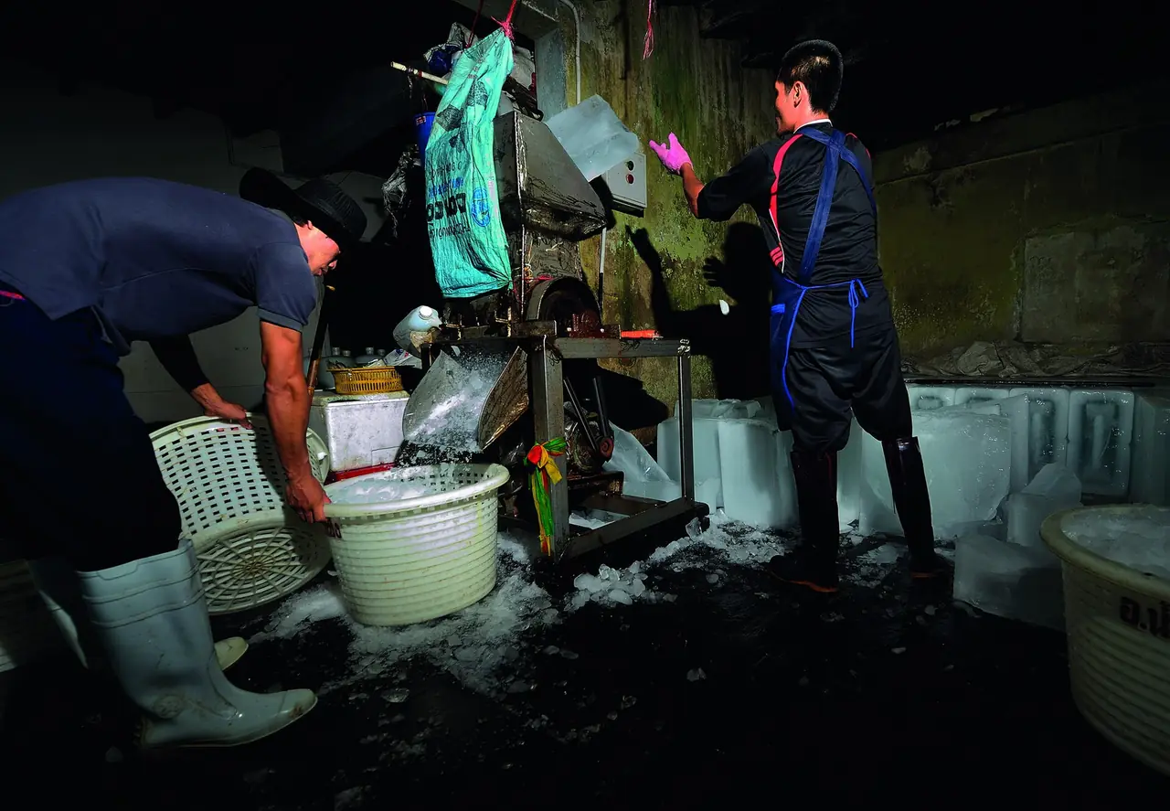
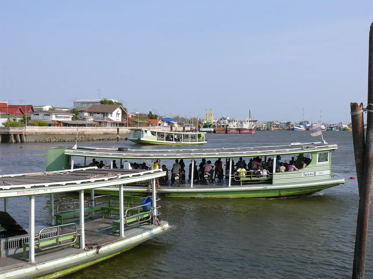
Across the river is Tha Chalom, a large fishing village that also processes seafood, per TAT. The ferry joins the two sections of the Maeklong line across the river. We did not check the operator or fare. An editorial site gives the best buying time as 07:00 to 09:00 and the ferry fare as 3 baht, both unconfirmed. The provincial website says Tha Chalom held Siam's first sanitary district, founded 9 March 1905.
Temples, shrines and the fort
Wat Krok Krak. TAT says the construction date is not certain. The highlight is Luang Pho Pu, a laterite Buddha that wears sunglasses. Wikivoyage gives 06:00 to 18:00.
Wat Chong Lom (Wat Suthiwat Wararam). A royal temple at Tha Chalom with a statue of King Rama V. TAT lists it daily 08:00 to 16:30.
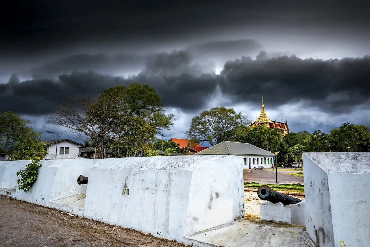
Wichian Chodok Fort and the city pillar shrine. TAT says the fort was built in 1828 (B.E. 2371) under Rama III to guard the river mouth and is open daily 08:00 to 17:00. TAT says the nearby shrine was completed in 1987 (B.E. 2530), and has the largest city pillar in the country. Thai Holiday Guide says 1982 (B.E. 2525), a conflict.
Phanthai Norasing and Khok Kham
TAT tells of Phanthai Norasing, helmsman of the royal barge, whose boat hit a branch on a bend of the Khok Kham canal. He insisted on the death penalty the law required, and the king had a shrine built in his honour. The provincial website says the remains of a teak boat 19.47 m long, about 300 years old, are kept there.
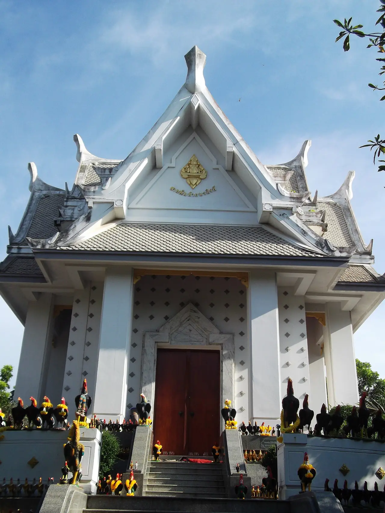
Wat Khok Kham has an old ordination hall and a restored Ayutthaya-style chedi. TAT says boats can be hired for a 2 to 3 hour canal trip; we found no official price. For Phra Klang Nam, a shrine in the river, TAT lists 07:00 to 18:00 and about 15 minutes by boat, but the provincial text says the access to the chapel is broken and a new bridge is being built, though you can still see it by boat. That text is undated, so ask the boat operator first. Which king and which execution site is correct (Thai Wikipedia gives three places) is unconfirmed.
Salt pans and the gulf
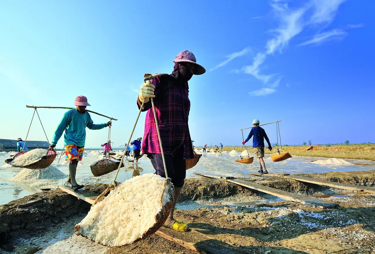
TAT says the salt pans are much photographed and run on into Samut Songkhram along the Thonburi-Pak Tho road. Wikivoyage mentions a salt school, 08:00 to 17:00, which we did not check. There is no official calendar for the season, so phone the school.
The Ao Mahachai Mangrove Forest Study Centre covers over 6 sq km, daily 08:30 to 17:30 per TAT. Wikivoyage says Bryde's whales can be seen all year, best from September to December, and the 700 m Red Bridge may show dolphins or whales from November to March, though very rarely. Sightings are not guaranteed.
Where to stay
We could check three hotels on their own websites: Phetara Hotel Mahachai (by a canal at Khok Kham), Sakhonburi Cozy Hotel (central Mahachai) and Thongchen Residence (an apartment building on Ekkachai Road). We do not know prices or availability. See the Samut Sakhon where-to-stay guide. Staying in Bangkok and coming for the day is also reasonable.
Nearby destinations
- Samut Songkhram: the next province, with Amphawa
- Ratchaburi: to the west
- Nakhon Pathom: to the north
- Bangkok: the starting point, 36 km away
- Thailand overview
FAQ
Are Samut Sakhon and Mahachai the same place?
Yes. Wikipedia says Mahachai is the old name locals still use for the town, after the Mahachai canal. Samut Sakhon dates to Rama IV, so you see both on maps.
How far is Samut Sakhon from Bangkok?
Wikivoyage says 36 km, with driving routes of about 29 to 35 km. The 12Go page showed 15 km, which we do not confirm.
Can I get there by train or bus?
Wikivoyage says yes, by train from Wongwian Yai and by Transport Co. buses, but we did not confirm the timetables. The 12Go listing for 18 October showed only taxis, so check with SRT and the bus operator.
Is Phra Klang Nam open to visit?
The provincial website says the access to the chapel is broken but you can still see it by boat. The text is undated, so ask the boat operator first.
Does Mahachai Market flood?
The provincial website says that around October high tides can flood it to about knee height. We have no information for this year.
Official sources and further reading
- Samut Sakhon (TAT)
- Mahachai Market and Municipal Port (TAT)
- Talat Talay Thai (TAT)
- Salt Pan (TAT)
- Wat Krok Krak (TAT)
- Wat Suthiwat Wararam or Wat Chong Lom (TAT)
- Wichian Chodok Fort (TAT)
- Samut Sakhon City Pillar Shrine (TAT)
- Phanthai Norasing Historical Park (TAT)
- Wat Khok Kham (TAT)
- Wat Nang Sao (TAT)
- Wat Pa Chairangsi (TAT)
- Ao Mahachai Mangrove Forest Study Centre (TAT)
- Phra Klang Nam (TAT)
- Samut Sakhon province (Wikipedia)
- Samut Sakhon (Wikivoyage)
- 12Go: Bangkok to Samut Sakhon
- Phetara Hotel Mahachai (hotel site)
- Samut Sakhon province, places to visit (official, read 19 Oct 2026)
- Samut Sakhon province, one day in Samut Sakhon (official, read 19 Oct 2026)
- Samut Sakhon province, accommodation list (official, read 19 Oct 2026)
- Maeklong Railway (Thai Wikipedia, not an official source, read 19 Oct 2026)
- Salt pan (Thai Wikipedia, not an official source, read 19 Oct 2026)
- Thai Holiday Guide: Samut Sakhon (not an official source, read 19 Oct 2026)
- Sakhonburi Cozy Hotel (hotel site, read 19 Oct 2026)
- Thongchen Residence (hotel site, read 19 Oct 2026)
Prices, schedules and entry rules change. Figures here are approximate as of 2026; always confirm on the official or operator page before you book. Spotted something out of date? Tell us.