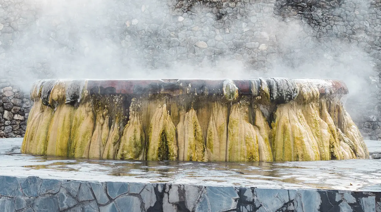
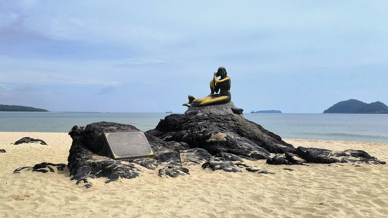
Pattani is a province in lower southern Thailand on the Gulf of Thailand. TAT gives its coastline as about 170 kilometres and names two main rivers, the Pattani and the Sai Buri. Within one province you find old mosques, Chinese shrines, Thai Buddhist temples and an ancient city. This guide uses only sources we opened on 16 October 2026. Because foreign governments publish advice specifically about this province, we put that advice first.
Foreign government travel advice, checked 16 October 2026 UK FCDO (Foreign, Commonwealth & Development Office): the "Thailand travel advice" page says "FCDO advises against all but essential travel" to parts of the south near the Thailand-Malaysia border, naming "Pattani Province", "Yala Province" and "Narathiwat Province", plus the districts of Chana, Thepa, Na Thawi and Saba Yoi in southern Songkhla Province. It gives the same advice for the Hat Yai to Padang Besar train line that runs through these provinces. The stated reason is "regular attacks" in the provinces by the border with Malaysia, and the Safety and security page says martial law is in place in most areas of these provinces. The page reads "Still current at: 16 October 2026" and was last updated on 12 October 2026. The same page says your travel insurance could be invalidated if you travel against FCDO advice. Smartraveller (Australian government): the overall level for Thailand is "Exercise a high degree of caution", and for "Yala province, Pattani province, and Narathiwat province" the page says "Reconsider your need to travel", citing "ongoing risks of low-level insurgent activity, including terrorism". The page reads "Still current at: 16 October 2026" and was updated on 15 October 2026. US State Department: travel.state.gov answered our automated read with a bot check, so this page contains no text from it. Please open it yourself using the link in the sources list. TAT (Tourism Authority of Thailand): the Pattani province page we read describes places to visit and carries no safety advice. Before you book anything, open your own government's advice and the pages linked at the end of this guide again, because advice changes. We offer no view beyond what these sources say and we do not say any area is safe or unsafe.
The rest of this guide gives location, sights and transport as checked against TAT, Wikipedia and Wikivoyage. Where two sources disagree we show both figures, and where we could not confirm something we say so.
What kind of province is Pattani
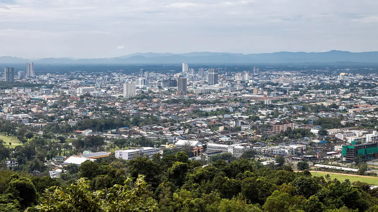
Wikipedia places Pattani on the Malay Peninsula with the Gulf of Thailand to the north and the Sankalakhiri mountain range in the south. It gives an area of 1,977 square kilometres and a 2024 population of 740,904. TAT describes a fairly flat province with forests, rivers and sea, and a community of Thai, Chinese and Muslim settlers who have lived together for a long time. Wikipedia gives the 2019 religion split as 87.57 percent Islam and 12.41 percent Buddhism, and says many people speak Pattani Malay as well as Thai.
On history, TAT says the ruins of an ancient town in Yarang district once served as an important port and centre of administration, trade and culture for many centuries. Wikipedia says the province was the centre of the Patani Malay sultanate and has been governed by Siam since 1786. Wikivoyage says the area was among the first in Southeast Asia to adopt Islam and became a centre of Islamic scholarship.
On visitor numbers, Wikipedia says Pattani is the least visited province in the country, quoting 2018 Ministry of Tourism and Sports data of only 20,000 to 30,000 visitors, mostly Thai. That figure is old and we have not checked it against newer data.
Krue Se Mosque and the Lim Ko Niao shrine
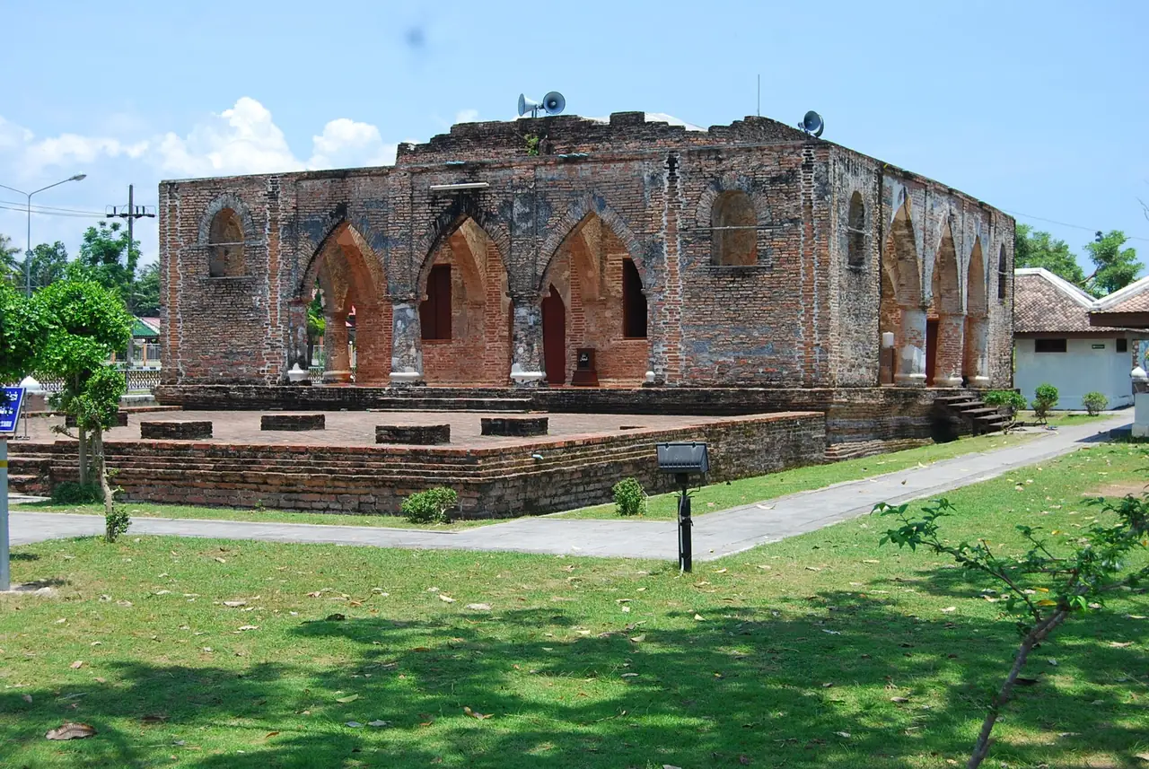
Krue Se Mosque stands on Highway 42, the Pattani to Narathiwat route, in Ban Krue Se, Mueang Pattani. TAT says the Krue Se community was once the site of Pattani city and an important trading port in the Ayutthaya period. TAT puts the mosque at over 200 years old and believes it was built in the Ayutthaya period; the Fine Arts Department registered it as an ancient monument in 1935. It is built of brick with round pillars and pointed-arch doorways in a Middle Eastern style. TAT says it is still used for religious practice and asks visitors to dress modestly. Wikivoyage dates it differently, calling it a 16th-century mosque that has been renovated several times, so we do not give a firm age. Treat it as an old mosque registered by the Fine Arts Department.
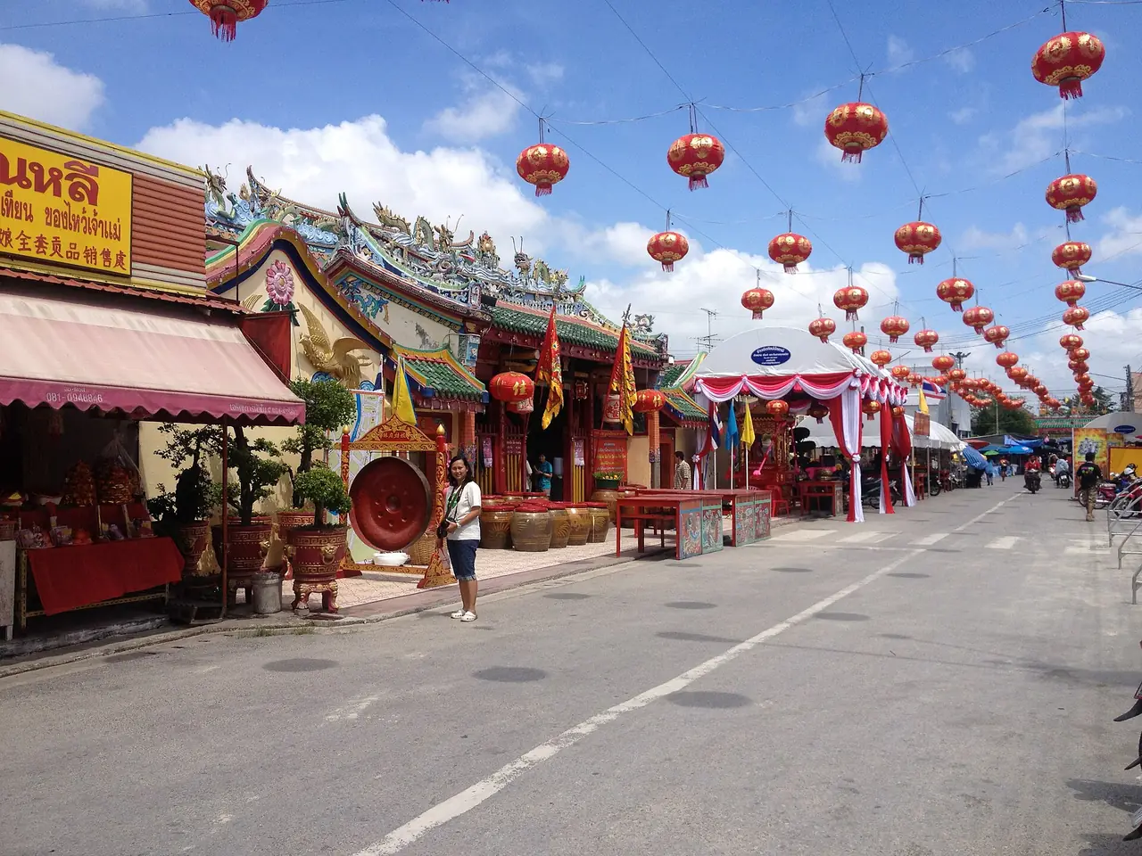
Close to the mosque on the same highway is the shrine of Chao Mae Lim Ko Niao. TAT retells the legend of a Chinese girl who came by ship to look for her brother, who had married the daughter of the Pattani governor and converted to Islam. When she could not find him she hanged herself from a cashew tree, and local people built the shrine and carved the tree into her likeness. TAT says the nearby Chao Mae Lim Ko Niao Graveyard, a traditional Chinese cemetery, is open daily from 8:00 am to 5:00 pm and gives 0 7352 2411 for information. Wikivoyage says the annual Chao Mae Lim Ko Niao fair is held 15 days after Chinese New Year, with a procession of the wooden figure and endurance acts such as fire walking, and that participants keep a vegetarian diet for the seven days before. Wikipedia calls the shrine the Leng Chu Kiang Shrine. Confirm festival dates locally in the year you travel.
Wat Chang Hai and Wat Mutchalinthawapi
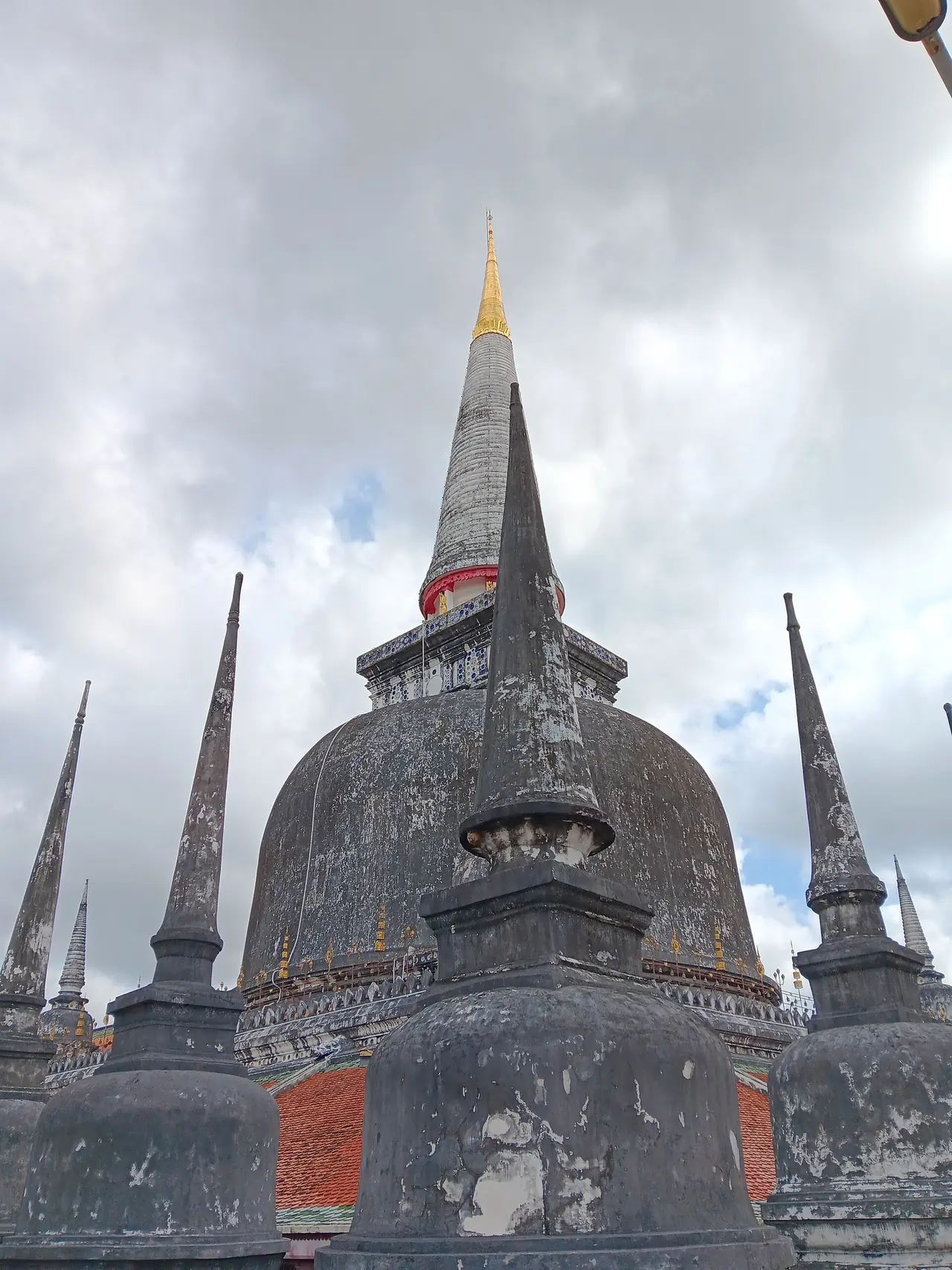
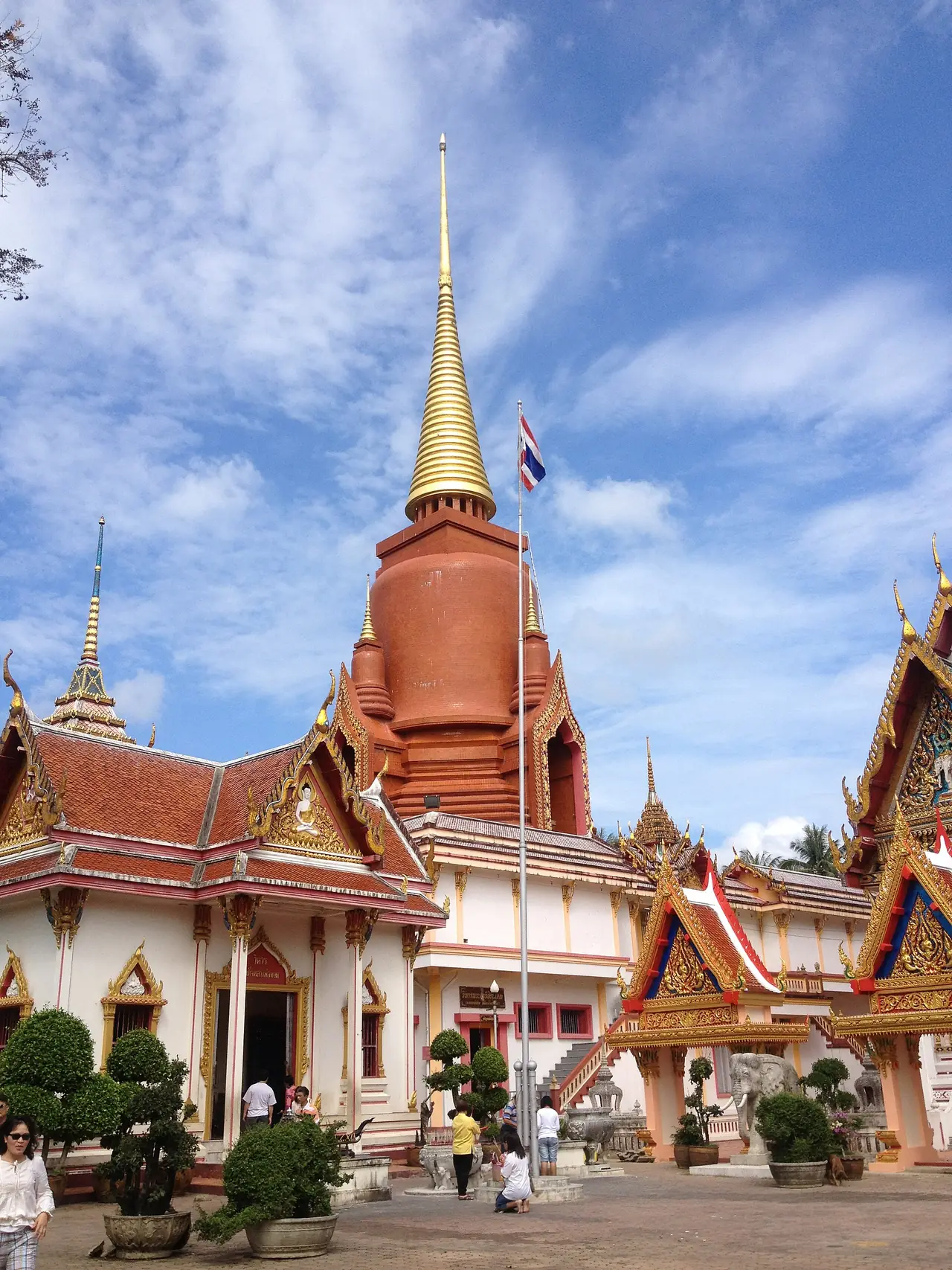
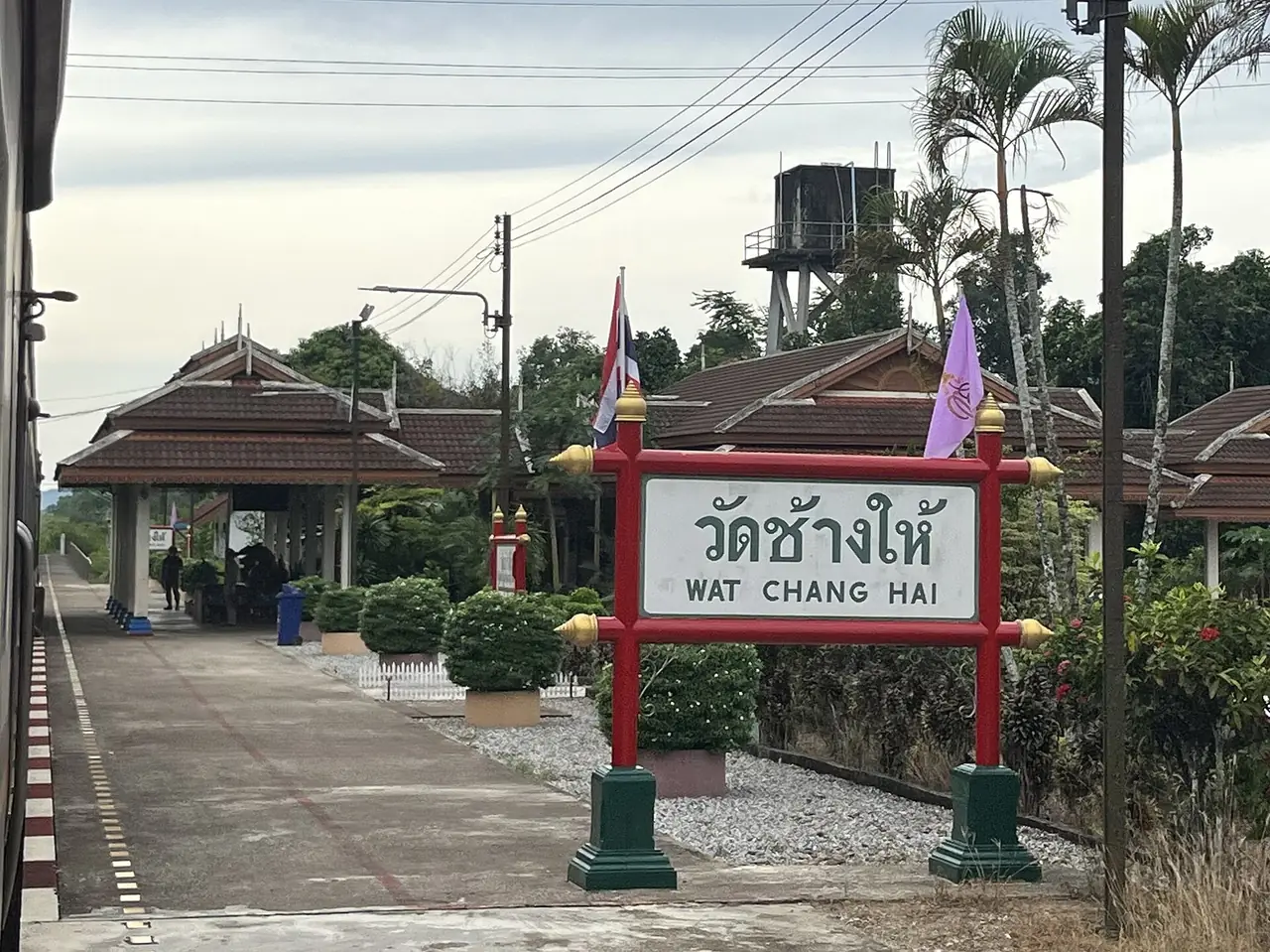
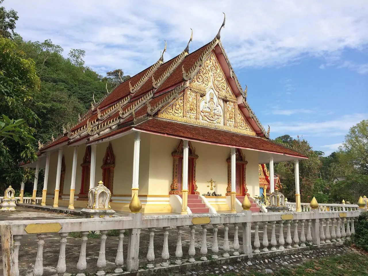
Wikipedia says Wat Rat Burana, widely known as Wat Chang Hai, is an ancient Thai Buddhist temple more than 300 years old, and that the legendary monk Luang Pu Thuat was once its abbot. Wikivoyage lists Wat Chang Hai among the sights of Pattani. The photos here show the temple buildings and the Wat Chang Hai railway station sign, which is in Khok Pho district. We could not find a Wat Chang Hai page on the TAT site, so we have no official opening hours for it. Ask before you go.
TAT describes Wat Mutchalinthawapi Wihan on the Pattani to Khok Pho highway in Nong Chik, about 10 kilometres from Pattani town. It is a major royal temple of the province, founded after the Nong Chik district office moved in 1845 and once known as Wat Tuyong. The main Buddha in the ubosot is a Chiang Saen style bronze image in the subduing Mara posture. TAT says it is open daily from 8:00 to 17:00 and is known for Luang Por Dum, whose statue many visitors come to honour.
Pattani Central Mosque
TAT says the Central Mosque stands on Yarang Road in Anoru subdistrict within Pattani municipality. Construction took nine years from 1954, and TAT says it was officially opened on 25 May 1994. The building resembles the Taj Mahal in style with a central dome, domes on four sides and two minarets. TAT calls it the central religious hub for Thai Muslims in the south and one of the most beautiful mosques in Thailand, gives the number 0 7333 5918, and asks visitors to dress modestly. Wikivoyage gives a different date, saying it was built in the early 1960s, so we show both and do not settle on one. There is no photo of the Central Mosque here because the freely licensed photos we found on Commons were too low in resolution.
Yarang ancient city
TAT describes Yarang ancient city as one of the largest historical cities in southern Thailand and believed to be the site of the Langasuka kingdom, according to old Chinese, Malay and Arab records. The plan is a large oval built over three successive cities: Ban Wat, Ban Jale and Ban Prawae, plus more than 30 smaller structures. TAT says groups can contact the Yarang ancient city restoration office, open Monday to Friday 8:00 to 16:30 on 0 7343 9093. It gives the route as Highway 410 south from Pattani toward Yala for about 15 kilometres, then left onto the Yarang-Mayo road (route 4061). TAT gives the distance as about 15 kilometres from Pattani and 25 kilometres from Yala.
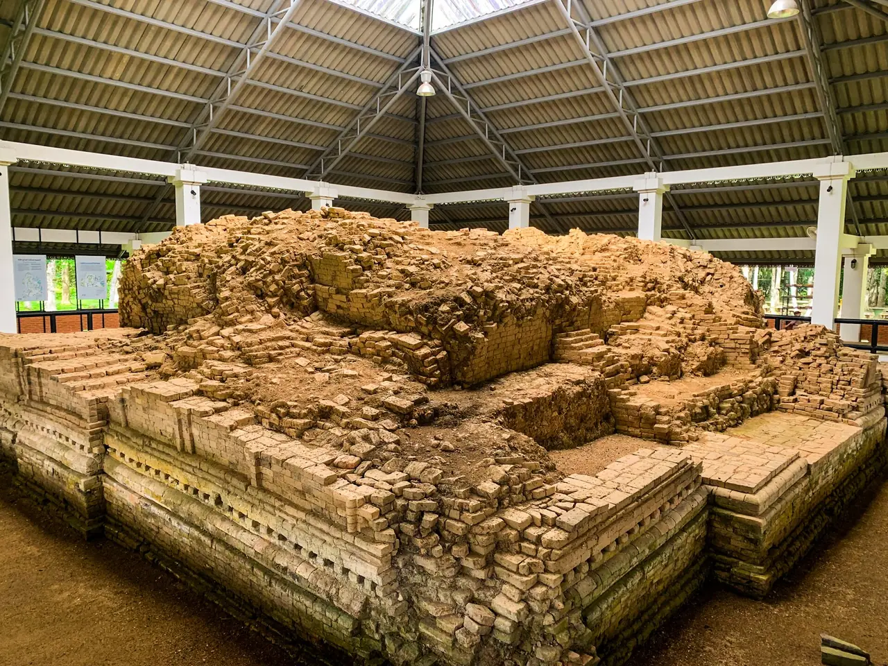
The sources disagree on size. TAT gives the area as 9 square kilometres, while Wikipedia says the moated town of Yarang covers about 0.9 square kilometres and records 44 brick mounds believed to be stupas, four of them excavated. We do not use either size in planning.
Sai Buri, Ban Paseyawo and the coast
TAT describes Sai Buri old town as an ancient port and trading district where Muslim and Hokkien Chinese settlers formed a small multicultural community. It recommends exploring on foot or by bicycle along Sai Buri and Tha Sadet roads, and highlights old hardwood buildings, including Takhian timber, with Malay-style roofs and covered walkways between buildings. TAT recommends the Taluban fresh market in the morning, when it is busiest.
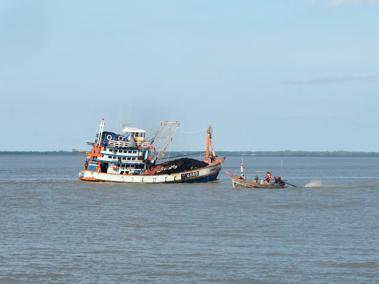
Ban Paseyawo in Sai Buri district is described by TAT as a village famous for builders of traditional Kolae boats, the fishing boats used in Pattani and Narathiwat for centuries, with narrow bow and stern and colourful decoration. Villagers also make miniature boats as souvenirs, and TAT says the village is known for budu fish sauce in the southern style. TAT says it is open to visitors daily from 8:00 am to 5:00 pm and gives 0 7352 2411. For directions it says take Highway 42 east from Pattani town for about 20 kilometres to just past Yamu, then turn toward Panare.
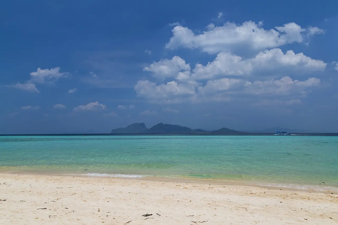
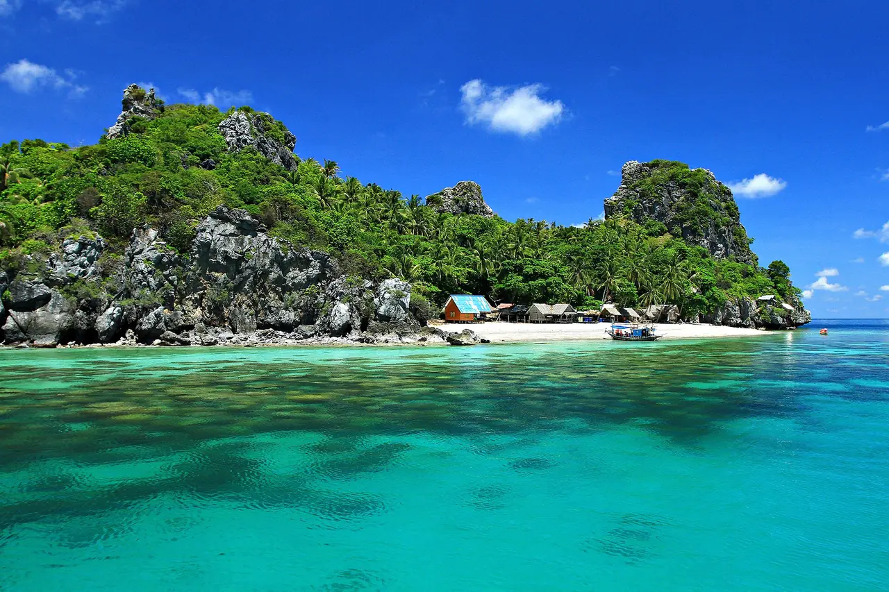
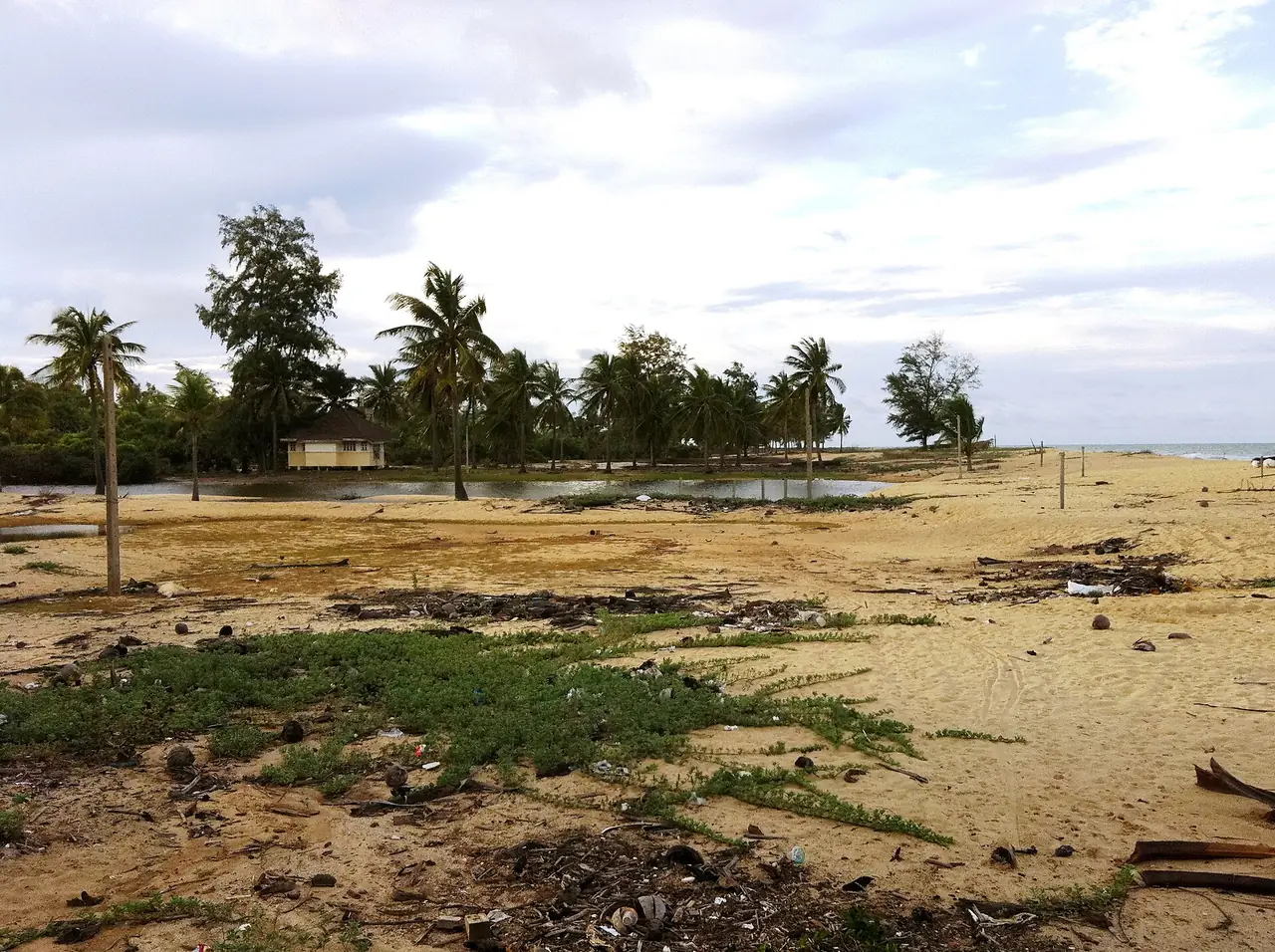
The beach TAT lists is Hat Talo-Kapo in Yaring district, about 18 kilometres from Pattani town. TAT describes a long sandy beach with sea pines and coconut trees along the coastal road, boats and villagers on the shore, and scattered accommodation and restaurants. The beach photo below is Laem Pho beach in the same district, not Talo-Kapo itself. Wikivoyage says the Sai Buri fishing competition is held every year on the second weekend of May at Hat Wasukri in Sai Buri district.
National parks
Wikipedia lists two national parks in the province: Budo-Su-ngai Padi National Park, 341 square kilometres on the border with Yala and Narathiwat, and Namtok Sai Khao National Park, 70 square kilometres. It gives fiscal 2024 visitor numbers of 29,966 and 120,669 respectively. We have not read the National Parks Department's own pages for these two parks, so we have no opening or fee information. Check with the department and read the advice box above, since the government advice we quote applies to the whole province.
Getting to Pattani
Wikivoyage gives the road distance from Bangkok as about 1,055 kilometres, via Chumphon, Surat Thani, Nakhon Si Thammarat and Songkhla, then Highway 42 to Pattani. Wikipedia says the Royal Thai Air Force's Pattani Airport runs no public flights and the nearest public airport is Narathiwat, while Wikivoyage describes travellers flying to Hat Yai and continuing by road. Those two descriptions are not live timetables, so check current flights with the airlines.
| From | By | What the sources say |
|---|---|---|
| Bangkok by road | Highway 35, then Highway 4 south, then Highway 41 or 42 | Wikivoyage gives about 1,055 km |
| Bangkok by train | State Railway of Thailand to Pattani (Khok Pho) or Wat Chang Hai | Wikivoyage places Pattani station in Khok Pho district, about 29 km from town; 12Go showed the same train on 16 Oct 2026 |
| Bangkok by bus | Transport Co. from Mochit or the Southern Bus Terminal | Wikivoyage says about 14 hours (old); 12Go showed about 23 hours from Mochit |
| Hat Yai to Pattani | Minibus or bus | Wikivoyage says about an hour and a half from Hat Yai airport (old) |
| Pattani to Yala or Narathiwat | Bus on Highway 42 | Wikivoyage says about one hour to Yala and two to Narathiwat (old) |
A note on rail: the FCDO page says its all-but-essential-travel advice covers the Hat Yai to Padang Besar train line that runs through these provinces. We do not know whether a Bangkok train stopping at Pattani falls under that wording, so check it with FCDO and with the railway directly. For the Hat Yai end of the trip see Hat Yai.
Booking the trip
When we opened the 12Go page for Bangkok to Pattani in a browser on 16 October 2026, searching for Sunday 18 October with 2 travellers, it listed 12 trips with prices from THB 324 to THB 24,225. By type it showed 5 trains from THB 324, 4 buses from THB 1,056 and 3 taxis from THB 20,400. The operators we saw were Thai Railway (train 171 leaving Krung Thep Aphiwat Central Terminal at 15:10, arriving at Pattani around 07:39 in the first listing, with another listing stopping at "Wat Chang Hai, Pattani"), Transport Co (from Mochit, 4 departures from 14:00, about 23 hours) and Kim Transfers Thailand for taxis. The timetable below the results also listed Siam Lane Tour and Piya buses. Those figures are what the page showed on that search, not a promise for your date. We link it as a convenient place to compare, and some links on this site may earn us a commission; this does not change the times or fares you see.
When to go
We have not confirmed a best season for Pattani from an official source, so we do not name recommended months. Check the Thai Meteorological Department forecast and climate data before fixing dates. Wikivoyage lists three annual events: the Chao Mae Lim Ko Niao fair 15 days after Chinese New Year, the Chak Phra festival, a decorated boat procession from the temples, and the Sai Buri fishing competition on the second weekend of May. Confirm the exact dates for your year locally.
Where to stay in Pattani
We checked Pattani hotels against their own official sites and only one passed, far short of the 8 we require for a full where-to-stay page. So this section gives area notes rather than a hotel list, and it does not rank or recommend any hotel.
- Pattani town: this area is near Yarang Road, the Central Mosque, the old commercial streets east of the river and the shrines. The official site of C.S. Pattani Hotel gives its address as 99/9 Nhongjik Road, Moo 4, Rusamilae, Mueang, Pattani, says it is 10 minutes from the city centre and 1 hour 30 minutes from Hat Yai International Airport, and calls itself a four-star hotel with meeting and banquet facilities. See its official website for rooms and booking terms.
- Yaring and Sai Buri coast: TAT says accommodation and restaurants are scattered along Talo-Kapo beach, but we have not verified any named property against its own site.
- Check before booking any stay: the government advice in the box above, the cancellation terms, and what your travel insurance covers.
What would let us build a full stay page is at least 7 more Pattani hotels with an official site we can read. Our searches and domain guesses did not find any.
Nearby destinations
- Songkhla: the province to the north. FCDO names Chana, Thepa, Na Thawi and Saba Yoi districts of Songkhla in the same advice.
- Hat Yai: the main gateway to the lower south, with an international airport.
- Phatthalung: further north beyond Songkhla.
- Satun: the Andaman-side province of the lower south.
- Bangkok: where most trips begin.
- Thailand overview
- Thailand safety, scams and health
- Yala: Betong, Piyamit Tunnel and travel advice to check
- Narathiwat: Wat Chonthara Singhe, Tak Bai and travel advice to check
FAQ
How far is Pattani from Bangkok?
Wikivoyage gives about 1,055 kilometres by road. On 16 October 2026, 12Go showed the train at about 16.5 hours, the bus at about 23 hours and the taxi at 14 hours. Actual times depend on the day and operator.
Is it safe to travel to Pattani?
We do not answer for the governments and we have no view of our own. On the pages we read on 16 October 2026, the UK FCDO "advises against all but essential travel" to Pattani, Yala and Narathiwat because of "regular attacks", and Australia's Smartraveller says "Reconsider your need to travel" to those three provinces because of "ongoing risks of low-level insurgent activity, including terrorism". We could not read the US advisory. Please read the current advice yourself before you decide.
Where do I check the current travel advice?
The UK FCDO page (gov.uk/foreign-travel-advice/thailand), the Australian Smartraveller page (smartraveller.gov.au/destinations/asia/thailand), and your own government's page. Each shows the date of its last update. Check again close to departure and before paying for accommodation or tickets.
Will my travel insurance cover Pattani?
We cannot answer for insurers. The FCDO page says your travel insurance could be invalidated if you travel against FCDO advice. Ask your insurer whether your policy covers this province before you buy tickets or book.
Does Pattani have an airport?
Wikipedia says Pattani Airport belongs to the Royal Thai Air Force and runs no public flights, and that the nearest public airport is Narathiwat. Wikivoyage describes travellers flying to Hat Yai. Neither is a live timetable, so check current flights with the airlines.
What should I wear when visiting mosques?
TAT says visitors should dress modestly at both Krue Se Mosque and Pattani Central Mosque, and that Krue Se is still used for daily worship. Ask about visiting times and rules at each site before you go.
What religion do most people in Pattani follow?
Wikipedia gives 87.57 percent Islam and 12.41 percent Buddhism for 2019, and says the 2014 census put the Muslim population at roughly 88 percent. TAT describes the province as a place where Thai, Chinese and Muslim settlers have lived together.
What are the main sights?
From the sources we checked: Krue Se Mosque, the Lim Ko Niao shrine and graveyard, Wat Chang Hai, Wat Mutchalinthawapi Wihan, Pattani Central Mosque, Yarang ancient city, Sai Buri old town, Ban Paseyawo where Kolae boats are made, and Talo-Kapo beach. Check opening times and conditions with each site before you go.
Official sources and further reading
- UK FCDO: Thailand travel advice (Warnings and insurance)
- UK FCDO: Regional risks
- UK FCDO: Safety and security
- Australia Smartraveller: Thailand
- US State Department: Thailand Travel Advisory (could not be read automatically; link for you to check)
- TAT: Pattani
- TAT: Krue Se Mosque
- TAT: Chao Mae Lim Ko Niao Graveyard
- TAT: Pattani Central Mosque
- TAT: Wat Mutchalinthawapi Wihan
- TAT: Yarang Ancient City
- TAT: Sai Buri Old Town
- TAT: Ban Paseyawo
- TAT: Hat Talo-Kapo Beach
- Pattani province (Wikipedia)
- Pattani (Wikivoyage)
- 12Go Bangkok to Pattani
- C.S. Pattani Hotel
- Thai Meteorological Department
Prices, schedules and entry rules change. Figures here are approximate as of 2026; always confirm on the official or operator page before you book. Spotted something out of date? Tell us.