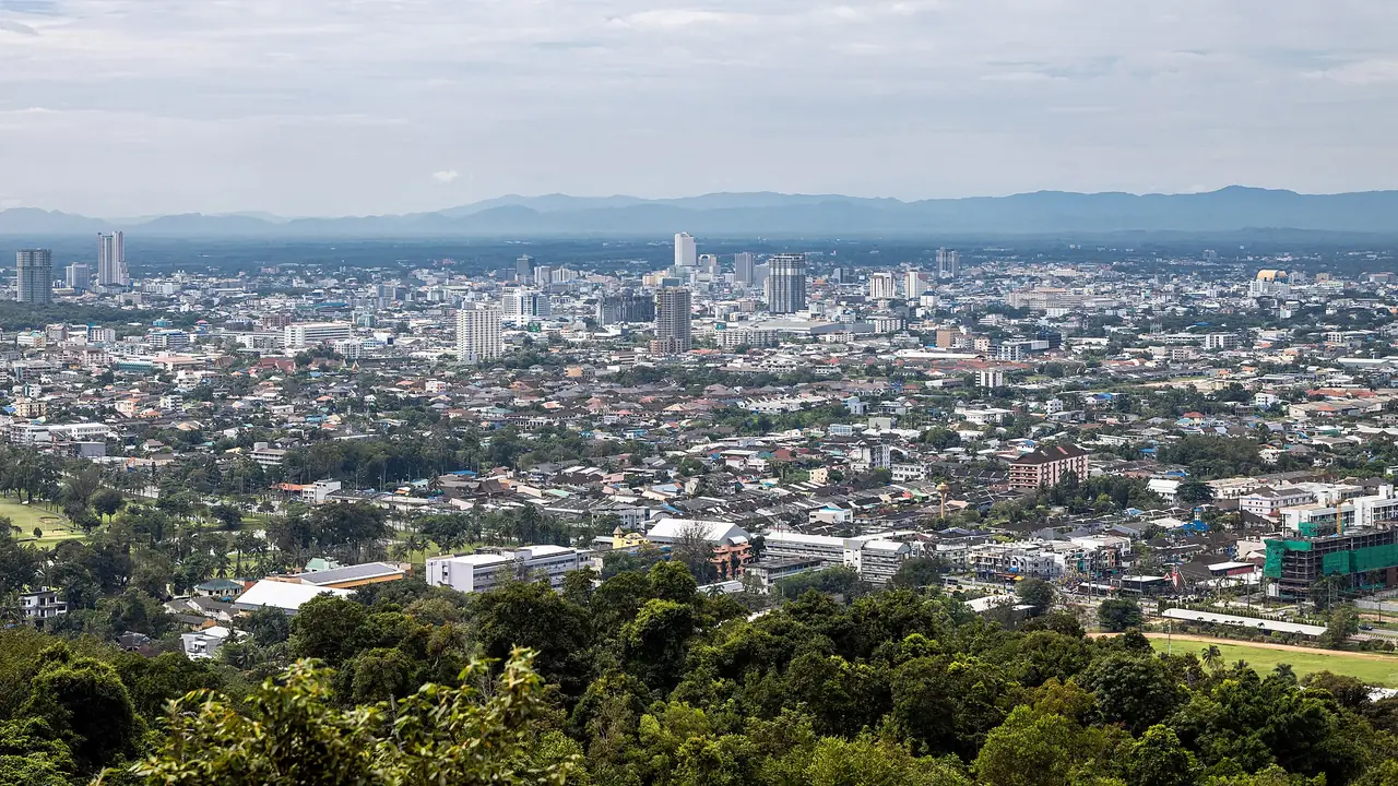
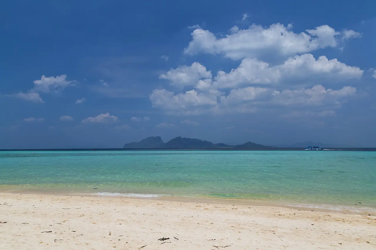
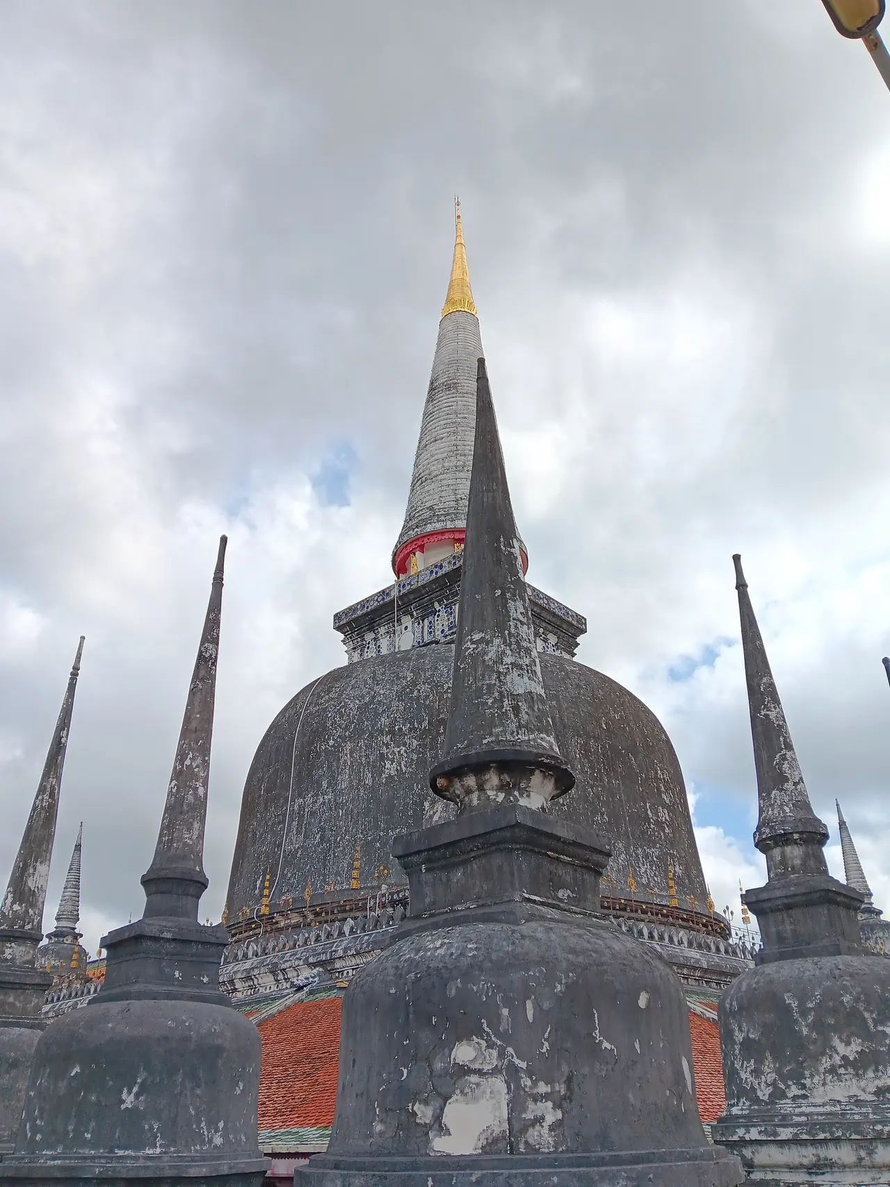
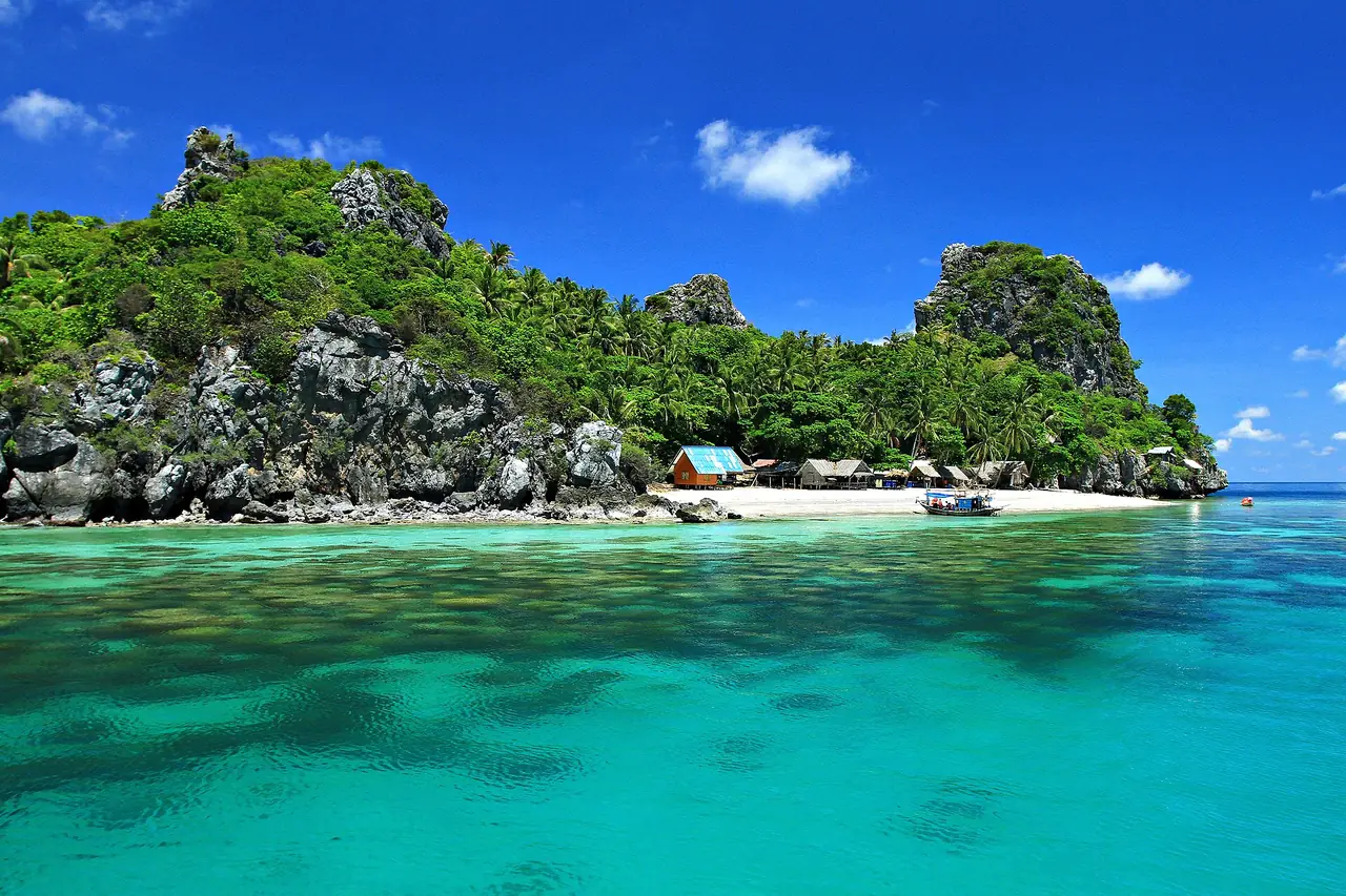
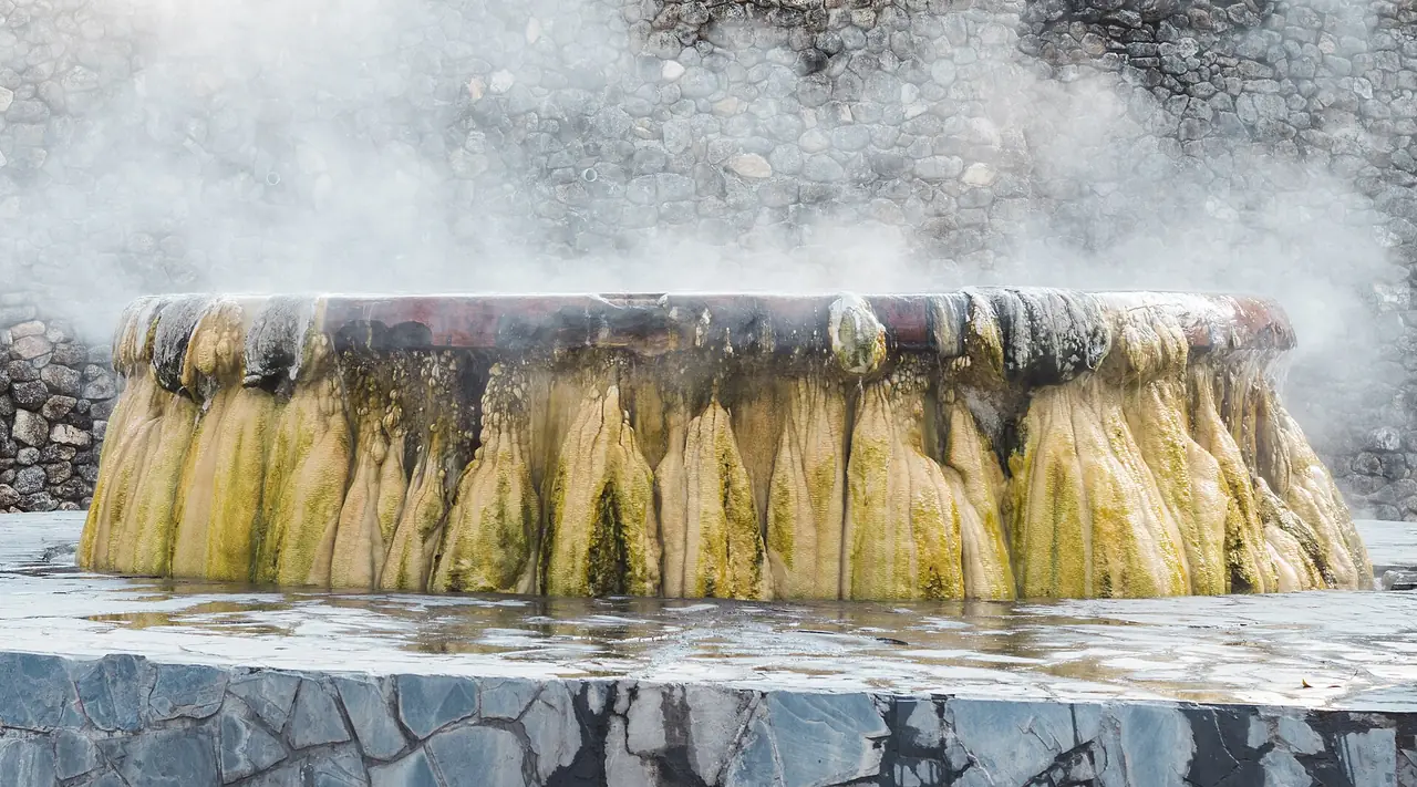
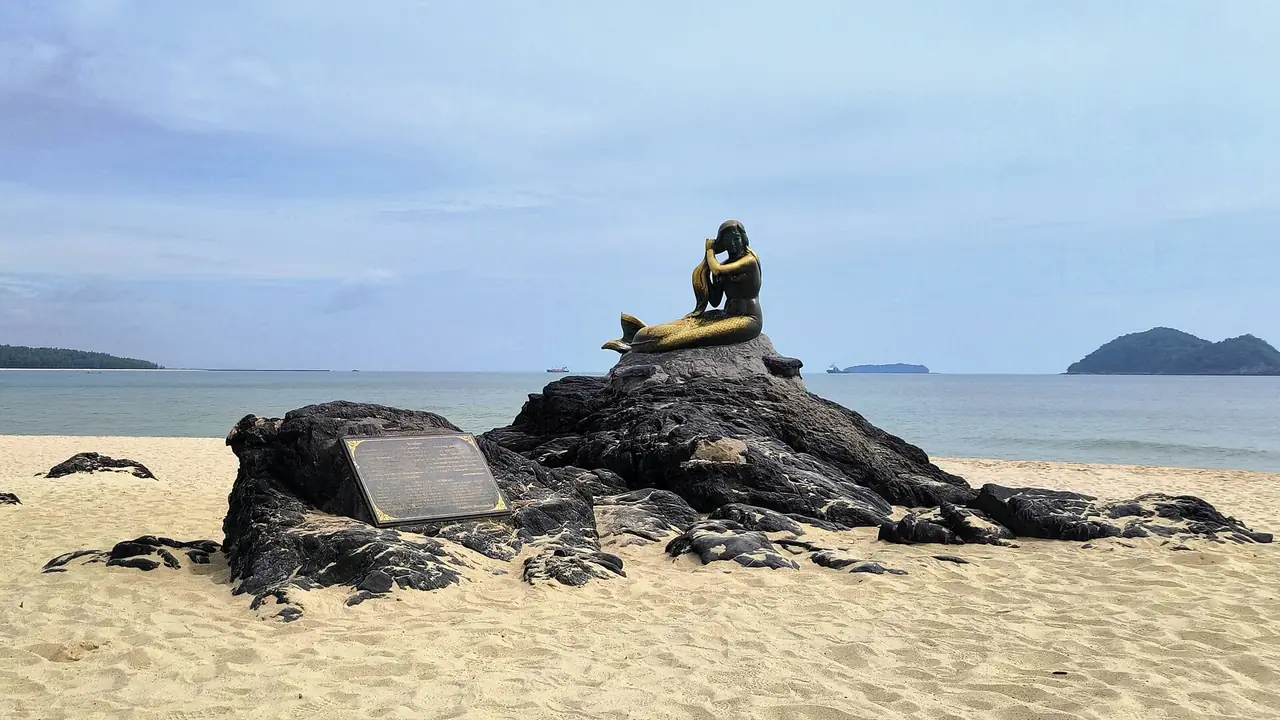
Narathiwat sits at the far south of Thailand's Gulf coast, with Kelantan in Malaysia to the south, Pattani to the north and Yala to the west. Wikipedia says the Southern Line railway ends in this province. It has Gulf beaches, a large peat swamp forest, rainforest mountains and a border town on the Golok River.
This guide aims to be straightforward. Narathiwat is one of three provinces for which several governments publish specific travel advice, so the latest advice sits at the top of the page, followed by sights and transport checked against the sources listed at the end. We add no safety opinion of our own beyond those sources, and we do not say any area is safe or dangerous.
Current travel advice, checked 16 Oct 2026
Read this before you plan. Narathiwat, Pattani and Yala are covered by specific government advice. The text below is what each source said on the day we checked. Advice changes, so open the live official page before every booking.
UK FCDO, Thailand travel advice, last updated 12 Oct 2026: "FCDO advises against all but essential travel to parts of the south, near the Thailand-Malaysia border". The areas it lists are Pattani Province, Yala Province and Narathiwat Province, plus the districts of Chana, Thepa, Na Thawi and Saba Yoi in southern Songkhla. FCDO also refers to "regular attacks" in the provinces by the border with Malaysia, and says martial law is in place in most areas of these provinces.
Smartraveller (Australian government), Thailand page, checked 16 Oct 2026: it gives Thailand overall as "Exercise a high degree of caution" and, for Yala, Pattani and Narathiwat provinces, "Reconsider your need to travel" because of "ongoing risks of low-level insurgent activity, including terrorism".
TAT (Tourism Authority of Thailand), Narathiwat page, read in a real browser on 16 Oct 2026: "Because of regional unrest, visitors to Narathiwat should exercise special caution and remain vigilant with regard to their personal security." TAT also says travellers should be aware of security measures in affected areas, such as curfews, military patrols or random searches of train passengers.
US State Department: we could not open the Thailand advisory on travel.state.gov that day because the site showed a bot-check page, so we do not quote it. Please read it yourself.
We have no view beyond these sources. If Narathiwat interests you, read your own government's live advice, check that your travel insurance covers the area, and follow local authority notices before and during your trip.
Pages to open yourself: UK FCDO and Smartraveller. For the US advisory, search for the Thailand advisory on travel.state.gov. Our general page on Thailand safety, scams and health covers the rest of the country.
What Narathiwat is like
Wikipedia gives a 2024 registered population of 823,996, 13 districts and an area of 4,491 square kilometres, while Wikivoyage gives 4,475 square kilometres. The two sources differ slightly, so we show both. Wikivoyage describes most of the land as tropical rainforest and forested mountains, with two seasons only, summer and rainy, and the wettest period in November and December.
Wikivoyage says most residents are Muslim and the Yawi dialect of Malay is widely spoken. It also notes that Narathiwat differs from most Thai towns: there are no bars or clubs, only a few karaoke places, and most people do not drink. Alcohol can be bought at most hotels, grocery stores and 7-Elevens, but Wikivoyage says drinking in public would be disrespectful.
The name Narathiwat was given by King Rama VI in 1915, which Wikivoyage translates as "home of wise people". The town was earlier called Bang Nara. Wikipedia says the province was fully integrated into Siam in 1909 under the Anglo-Siamese Treaty.
The beach and the Bang Nara river mouth
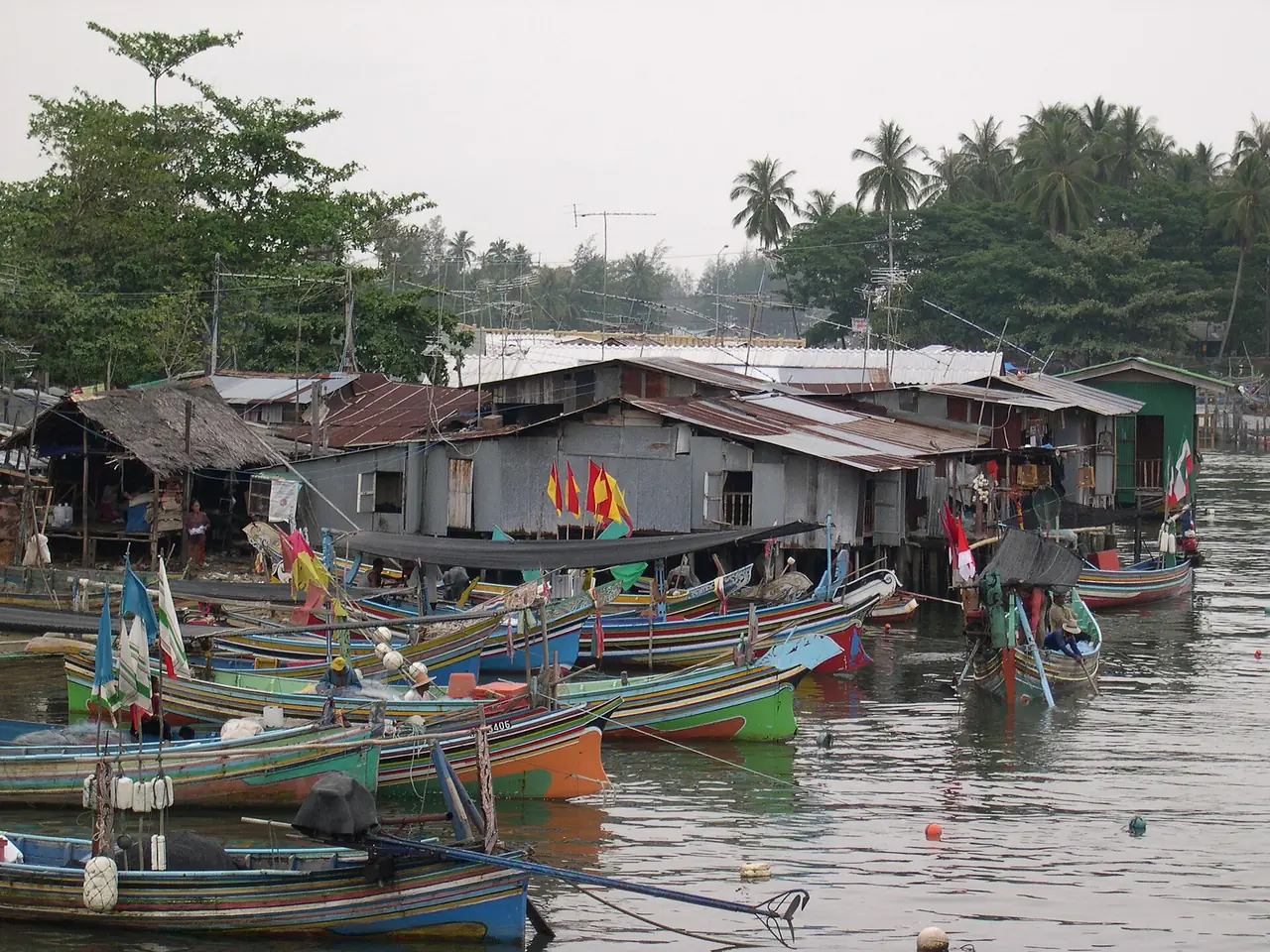
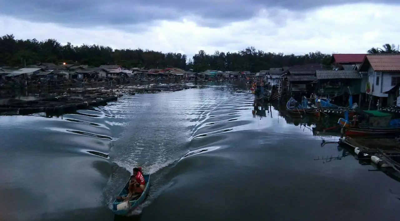
TAT says Narathat Beach is about five kilometres long and hosts the kolae boat races. Wikipedia says the beach ends at the mouth of the Bang Nara River, close to fishing villages, with the bay full of fishermen's kolae boats. The kolae is the local painted fishing boat, one of the province's best-known images. Wikivoyage lists miniature kolae boats, colourful head caps and head scarves as things to buy.
Wikipedia says the province's new central mosque stands at Ban Bang Nara just before the beach. It was built in 1981 as a three-storey Arabian-style building with a dome and a tall tower for the call to prayer. TAT also lists the Narathiwat Central Mosque among its highlights. If you visit a place of worship, dress modestly and ask when visits are welcome. Wikivoyage mentions a riverside event on Saturdays around 18:00 with live music and food stalls, and a Narathiwat Fair around mid-September, but gives no year, so ask locally before planning around either.
Taksin Ratchaniwet Palace and Ao Manao
Thai Wikipedia says Taksin Ratchaniwet Palace stands on Khao Tanyong in Tambon Kaluwo Nuea, Mueang Narathiwat, on Highway 4084, about 8 kilometres from the town. Construction began in February 1973 and took about six months. It was a seasonal residence of the late King Bhumibol and the royal family, usually in August and October. The architecture is a hipped-roof building with fretwork trim, raised on tall stilts.
On visiting, Thai Wikipedia says it is normally open from 09:00 to 16:00 when the royal family is not in residence, with no entrance fee. Its source for that is an archived 2013 web page, so we cannot confirm the current opening status. As this is a royal compound, ask about access and rules before you go. Thai Wikipedia adds that the Narathiwat to Tak Bai to Sungai Kolok bus stops in front of the palace.
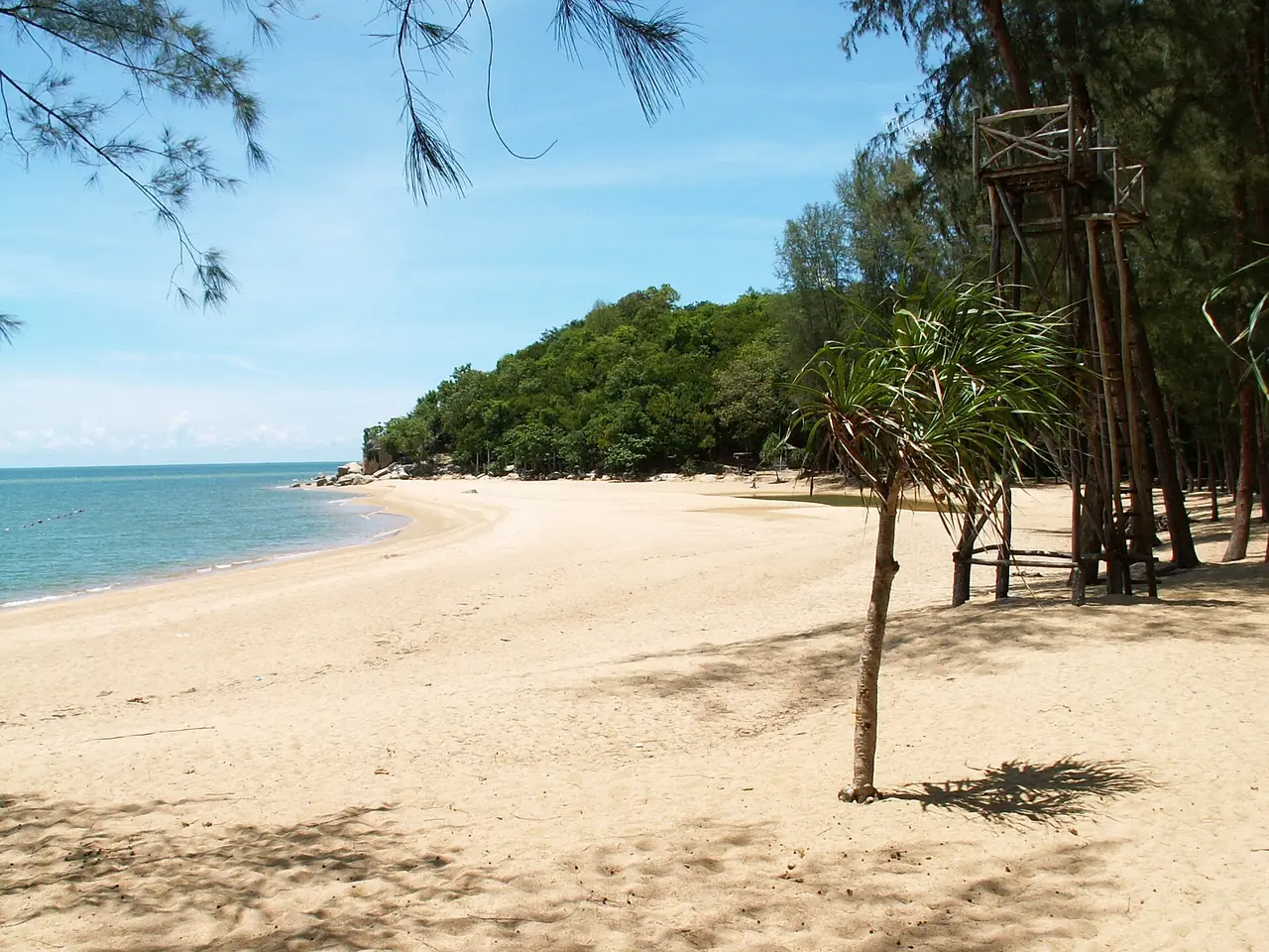
Thai Wikipedia places Ao Manao-Khao Tanyong National Park around the palace, with a sand beach broken by granite rocks and a 293-metre Khao Tanyong. English Wikipedia gives its area as 23 square kilometres and 112,424 visitors in fiscal 2024, while Thai Wikipedia gives 58.58 square kilometres and says the park was still being surveyed for gazetting. Wikivoyage describes Ao Manao as a beautiful beach that sees few visitors.
Wat Khao Kong and the old mosque
Wikipedia says Wat Khao Kong is about 9 kilometres from town on the Narathiwat to Ra-ngae road and is a Buddhist park of about 142 rai. Its main attraction is the seated Phra Buddha Thaksin Ming Mongkol, an outdoor Buddha that Wikipedia gives as 17 metres wide and 24 metres high. TAT describes it as the golden Buddha image of the Khao Kong Buddhist Park.
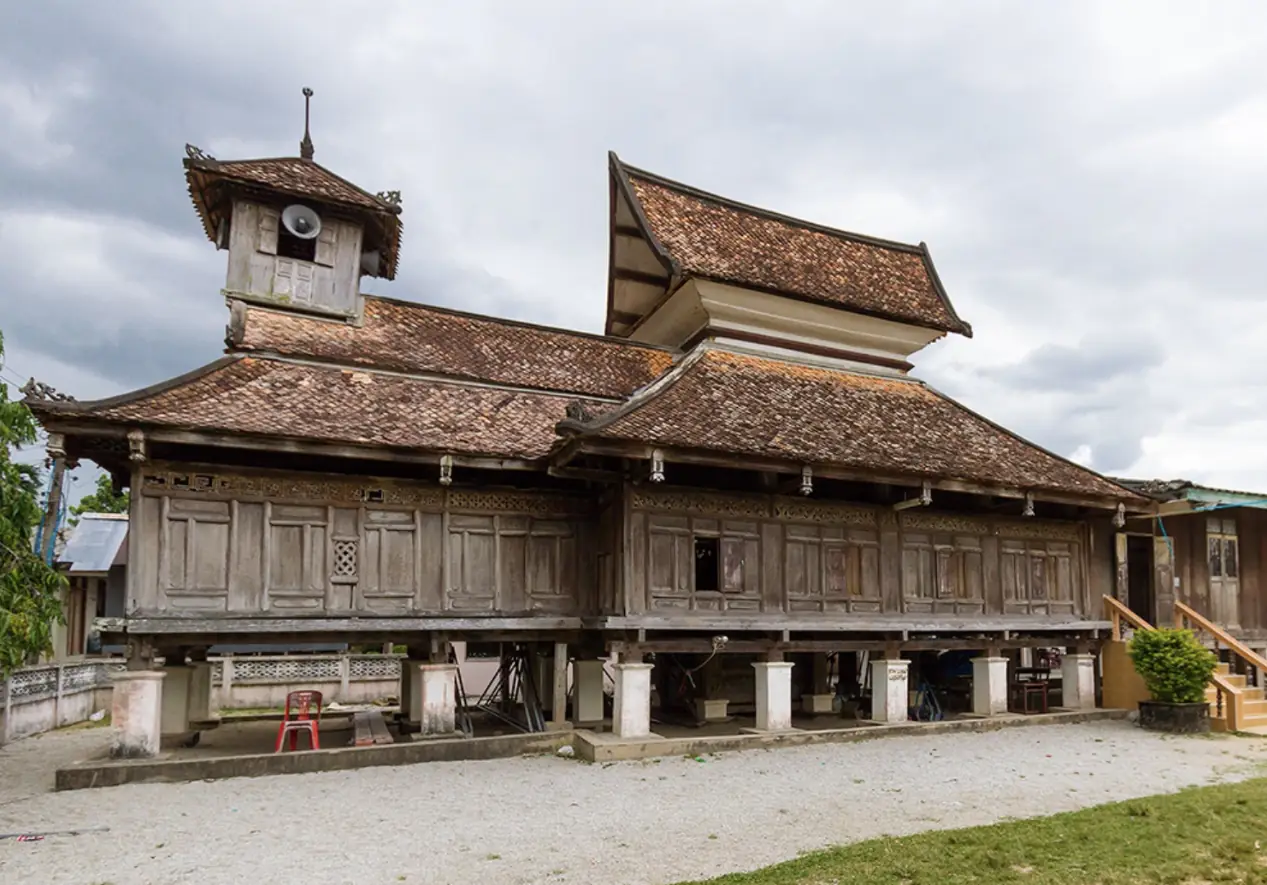
Wikivoyage lists the Wadi Al-Husein (Talo Manae) mosque, known locally as the 300-year-old mosque. The photo below comes from Wikimedia Commons under CC BY 3.0 and shows a timber building with tiered roofs. We have no opening hours from an official site, so ask locally and be respectful when visiting.
Peat swamp forest and Pacho Waterfall
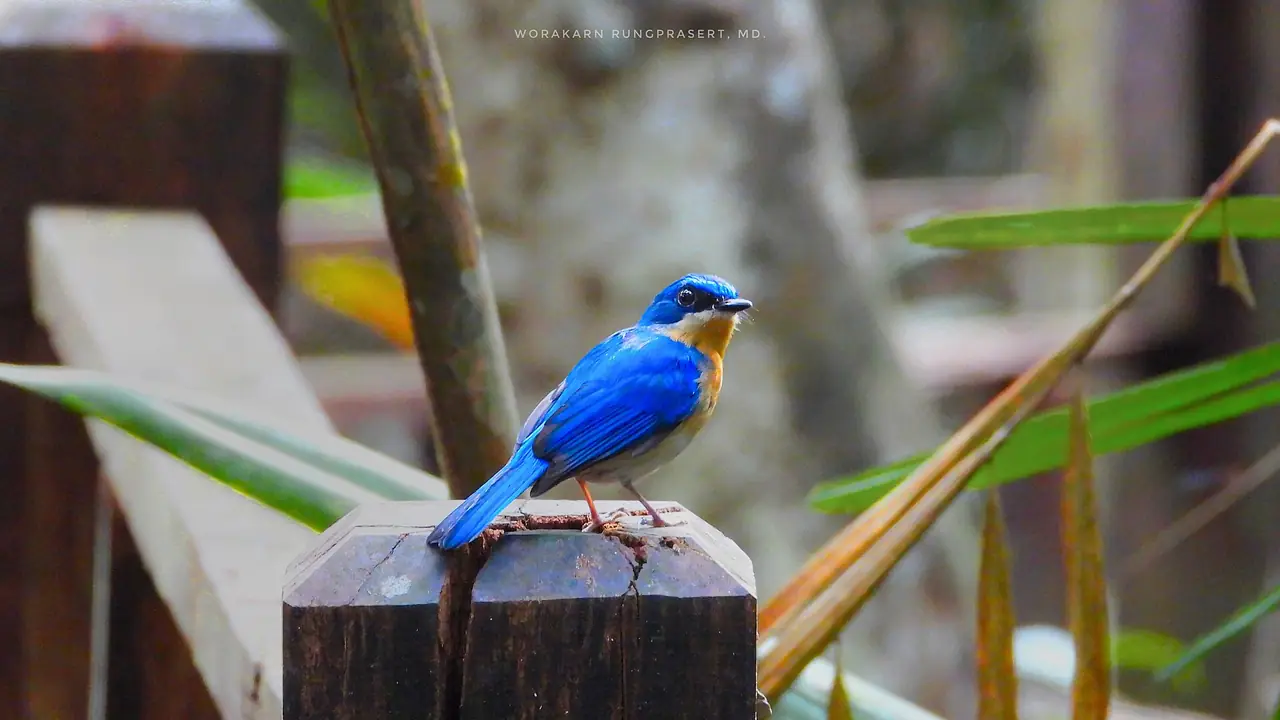
Wikipedia says the Princess Sirindhorn Wildlife Sanctuary, known as Pa Phru To Daeng, is the largest and most fertile peat swamp forest in Thailand, covering parts of Mueang Narathiwat, Tak Bai, Su-ngai Kolok and Su-ngai Padi districts, about 6 km from Su-ngai Kolok railway station. It lists species such as the black hornbill and describes a natural trail of about 950 metres with wooden bridges at the Sirindhorn Peat Swamp Forest Nature Research and Study Centre.
Budo-Su-ngai Padi National Park lies in the Sankalakhiri range, covers about 341 square kilometres and extends into Yala and Pattani. Wikipedia calls Pacho the best known and most accessible of its waterfalls. TAT says Pa Jo is the biggest waterfall in Narathiwat, with nine tiers, and a source of golden-leaf trees (Yan Da Oh); Wikipedia says that plant was first discovered here in 1988. Namtok Si Po National Park and Hala-Bala Wildlife Sanctuary are also in the province, according to Wikipedia's list of protected areas.
These forests are far from town and some lie near the border. We have no official figures for opening hours, fees or current access, so check with the Department of National Parks and local authority notices before going.
Tak Bai and Sungai Kolok
Wikipedia says Tak Bai sits at the estuary of the Golok River, the border between Thailand and Malaysia. It was part of Kelantan until the 1909 treaty, and travellers can reach Pengkalan Kubor in Malaysia by ferry. Wikipedia also describes salted kulao fish from Tak Bai as a local product famous for more than 100 years. Wikipedia records the Tak Bai incident of 25 October 2004, in which at least 85 demonstrators died; it is part of the wider violence in the area that visitors may hear about.
Wat Chonthara Singhe in Tambon Che He, Tak Bai, is a royal temple. Thai Wikipedia says it was built in 1860 under King Mongkut and was used as a reference point in the 1909 border demarcation; English Wikipedia says the Golok River near the temple was adopted as the boundary between British Malaya and Siam. The temple is also known as the "defender of Thai land" temple.
Sungai Kolok is the border town facing Kelantan. Wikipedia calls it one of the major economic centres of southern Thailand, with a municipal population of 38,612 in 2005; the name means "sword river" in Malay. We have not checked current border crossing hours or rules from an official source, so check with Thai and Malaysian immigration before planning a crossing.
Getting to Narathiwat
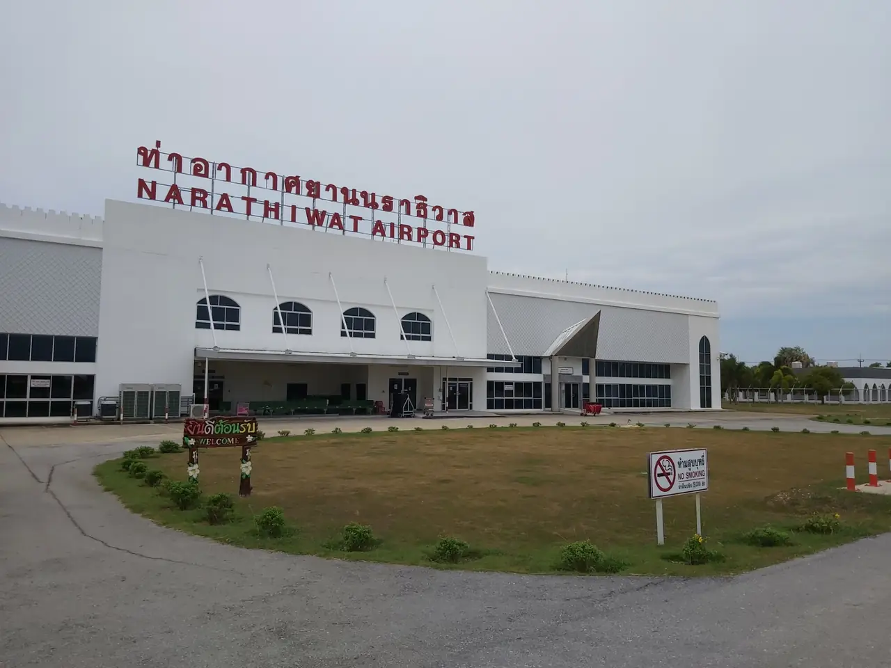
Wikipedia says that as of January 2026 Narathiwat Airport (NAW) has two direct flights a day to Bangkok Don Mueang and one to Suvarnabhumi, all operated by AirAsia, which it calls the only airline serving the route at that time. Timetables change, so check with the airline.
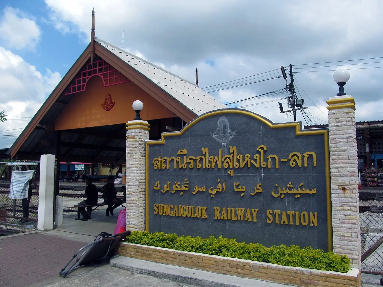
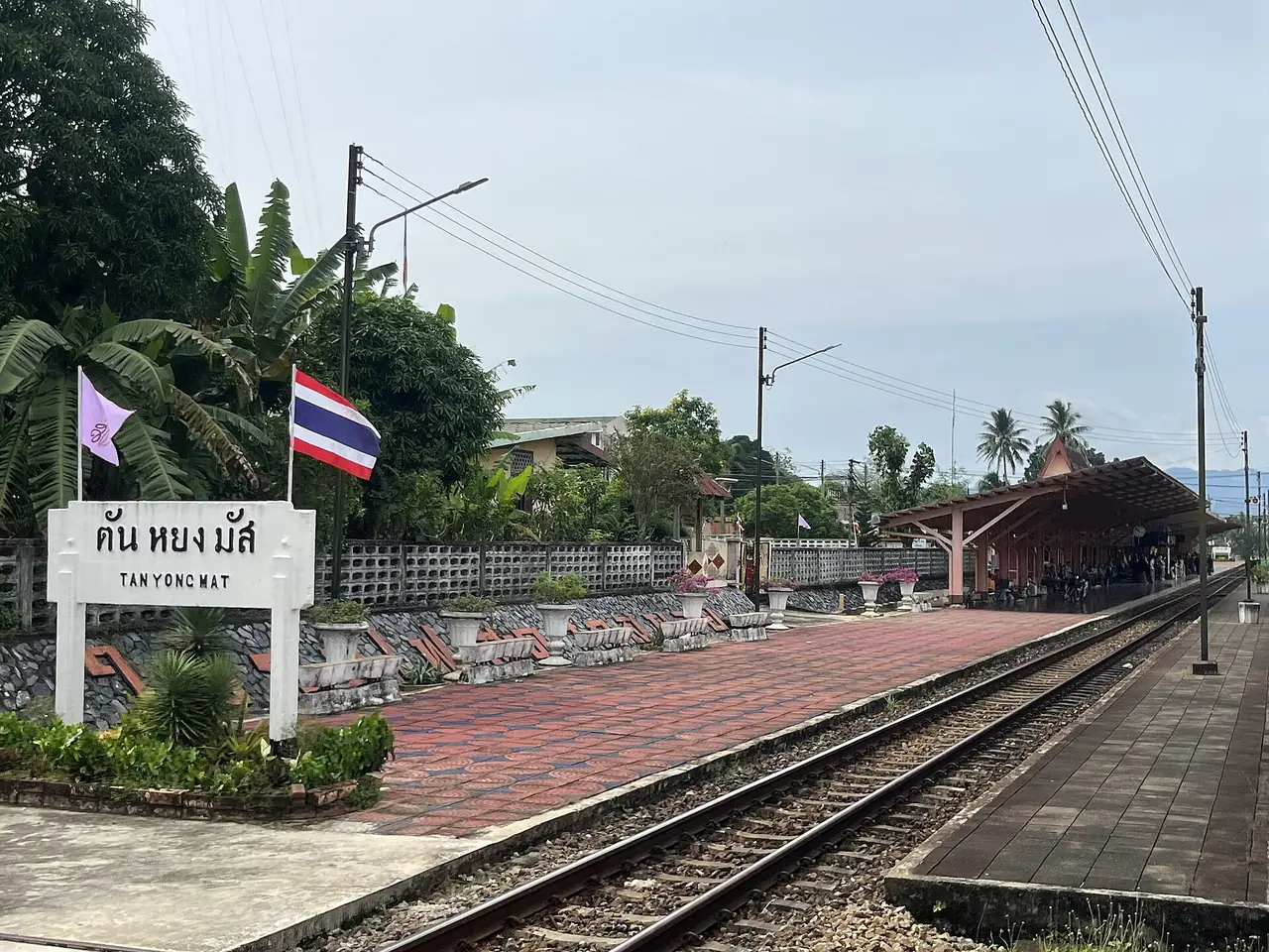
By train, Wikipedia says there is no direct rail access to Mueang Narathiwat. The nearest station is Tanyong Mat in Ra-ngae district, 1,099.503 km from Thon Buri. Wikivoyage puts it about 20 km from town, with songthaews running into the centre. Su-ngai Kolok station is 1,142.993 km out and is the terminus of the Southern Line. Wikipedia lists Tanyong Mat services including the Thaksin Special Express, trains 37 and 38, and rapid trains 171 and 172 from Krung Thep Aphiwat. Check current timetables with the State Railway of Thailand. The FCDO page also gives specific advice about the Hat Yai to Padang Besar train line that runs through these provinces; see the box above.
Wikivoyage describes an air-conditioned coach from Bangkok's Southern Bus Terminal to Narathiwat bus terminal, about 1,161 km and roughly 14 hours, but that entry is old and its operator link is dead, so do not rely on its fares or times. It also lists scheduled minivans between Sungai Kolok, Hat Yai, Yala or Pattani and Narathiwat bus terminal. If you are coming from Hat Yai, see our Hat Yai guide.
| From | By | What the source says |
|---|---|---|
| Bangkok, air | AirAsia, Don Mueang or Suvarnabhumi to Narathiwat Airport | Wikipedia (Jan 2026): two daily from Don Mueang, one from Suvarnabhumi |
| Bangkok, train | Southern Line to Tanyong Mat or Sungai Kolok | Wikipedia gives the stations and distances; check the timetable with SRT |
| Bangkok, bus | Southern Bus Terminal to Narathiwat bus terminal | Wikivoyage says about 14 hours (old, confirm) |
| Hat Yai, minivan | To Narathiwat bus terminal | Wikivoyage lists the route (old, confirm) |
Booking transport
There is a Bangkok to Narathiwat page on 12Go. When we opened it in a browser on 16 October 2026, searching Sunday 18 October for two travellers, the page did not respond, so we could not read the results and we state no number of trips, fare, vehicle type or operator. Open the page yourself to see the real options for your date. For general planning see getting around Thailand.
When to go
Wikivoyage says only that there are two seasons, summer and rainy, with the rain heaviest in November and December. We found no official source naming a best month for Narathiwat, so we do not pick one. Check the Thai Meteorological Department forecast for any beach or waterfall trip, and re-read the advice box above in the week you travel.
Food to try
Wikivoyage says most restaurants serve local Malay-style dishes, with a couple of Chinese restaurants, and that around the market in the late afternoon you can find khao yam (nasi krapau) vendors. It names fish crackers (krupuk ikan) and budu, a fermented fish sauce served salty or sweet, as local specialities. Wikipedia names Tak Bai salted kulao fish and gives the longkong fruit as the provincial symbol.
Where to stay
We do not have a Narathiwat hotel page. In this round we could not find eight hotels with official websites whose wording we could match against the page text, so this page names no hotels. The area notes below are an overview only.
- Narathiwat town: the provincial capital, with budget and mid-range hotels listed by Wikivoyage. Wikipedia says no train goes into the town centre itself.
- Near Narathat Beach and Ao Manao: the options closer to the sea. Wikivoyage mentions an air-conditioned bus line from the bus terminal to the beach.
- Sungai Kolok: the border town at the end of the Southern Line, handy if you arrive by train or are going to Malaysia.
For a verified stay comparison in the lower south, see where to stay in Hat Yai, and read the current advice for Narathiwat before you book.
Nearby destinations
- Hat Yai: the main transport hub of the lower south, in Songkhla
- Songkhla: FCDO lists some of its districts (Chana, Thepa, Na Thawi, Saba Yoi) under the same advice
- Bangkok: where most trips start
- Thailand overview
- Thailand safety, scams and health
- Pattani: Krue Se Mosque, Wat Chang Hai and travel advice to check
- Yala: Betong, Piyamit Tunnel and travel advice to check
Frequently asked questions
Is there government travel advice for Narathiwat?
Yes. As checked on 16 October 2026, the UK FCDO advises against all but essential travel to parts of the south near the Malaysian border, naming Pattani, Yala and Narathiwat. Smartraveller says to reconsider your need to travel to those three provinces, and TAT asks visitors to exercise special caution. The box near the top gives the wording. Advice changes, so open the live pages before you book.
Is Narathiwat safe?
We do not judge that and we have no view beyond the official sources we quote. Their wording is in the box at the top. Read your own government's advice, check that your travel insurance covers the area, and follow local authority notices.
How do I get from Bangkok to Narathiwat?
Wikipedia says AirAsia is the only airline serving Narathiwat Airport (as of January 2026) and that the Southern Line ends at Sungai Kolok, with Tanyong Mat the station nearest to Narathiwat town. Check timetables and fares with the airline and the State Railway of Thailand.
How far is the train station from Narathiwat town?
Wikipedia says there is no direct rail access to Mueang Narathiwat and that Tanyong Mat, in Ra-ngae district, is the nearest main station. Wikivoyage puts it about 20 km away, with songthaews running into town.
Can I visit Taksin Ratchaniwet Palace?
Thai Wikipedia says it is normally open 09:00 to 16:00 when the royal family is not in residence, with no fee, but its source is an archived 2013 page. We cannot confirm the current opening status. It is a royal compound, so ask about access and rules before you go.
Can I cross into Malaysia at Sungai Kolok or Tak Bai?
Wikipedia says Sungai Kolok faces Kelantan and that Tak Bai has a ferry to Pengkalan Kubor in Malaysia. We have not checked current crossing hours or conditions from an official source, so check with Thai and Malaysian immigration. Wikipedia also says rail services across the border at Sungai Kolok are closed.
What food is Narathiwat known for?
Wikipedia names Tak Bai salted kulao fish and gives longkong as the provincial fruit symbol. Wikivoyage names fish crackers, budu, khao yam and miniature kolae boats as things to eat and buy.
When is the best time to visit Narathiwat?
We found no official source naming a best month. Wikivoyage says only that rain is heaviest in November and December. Check the weather forecast and the latest advice before you travel.
Official sources and further reading
- Narathiwat province (Wikipedia)
- Narathiwat (Wikivoyage)
- Narathiwat (Tourism Authority of Thailand)
- Thailand travel advice (UK FCDO)
- Thailand (Smartraveller, Australia)
- Tak Bai district (Wikipedia)
- Tak Bai (Wikipedia)
- Su-ngai Kolok (Wikipedia)
- Narathat Beach (Wikipedia)
- Princess Sirindhorn Wildlife Sanctuary (Wikipedia)
- Budo-Su-ngai Padi National Park (Wikipedia)
- Narathiwat Airport (Wikipedia)
- Tanyong Mat railway station (Wikipedia)
- Taksin Ratchaniwet Palace (Thai Wikipedia)
- Wat Chonthara Singhe (Thai Wikipedia)
- 12Go: Bangkok to Narathiwat
Prices, schedules and entry rules change. Figures here are approximate as of 2026; always confirm on the official or operator page before you book. Spotted something out of date? Tell us.