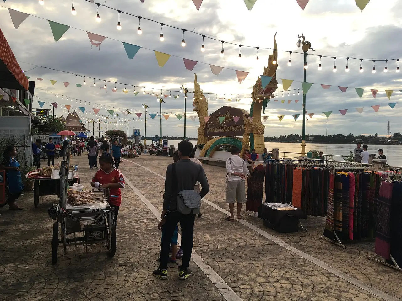
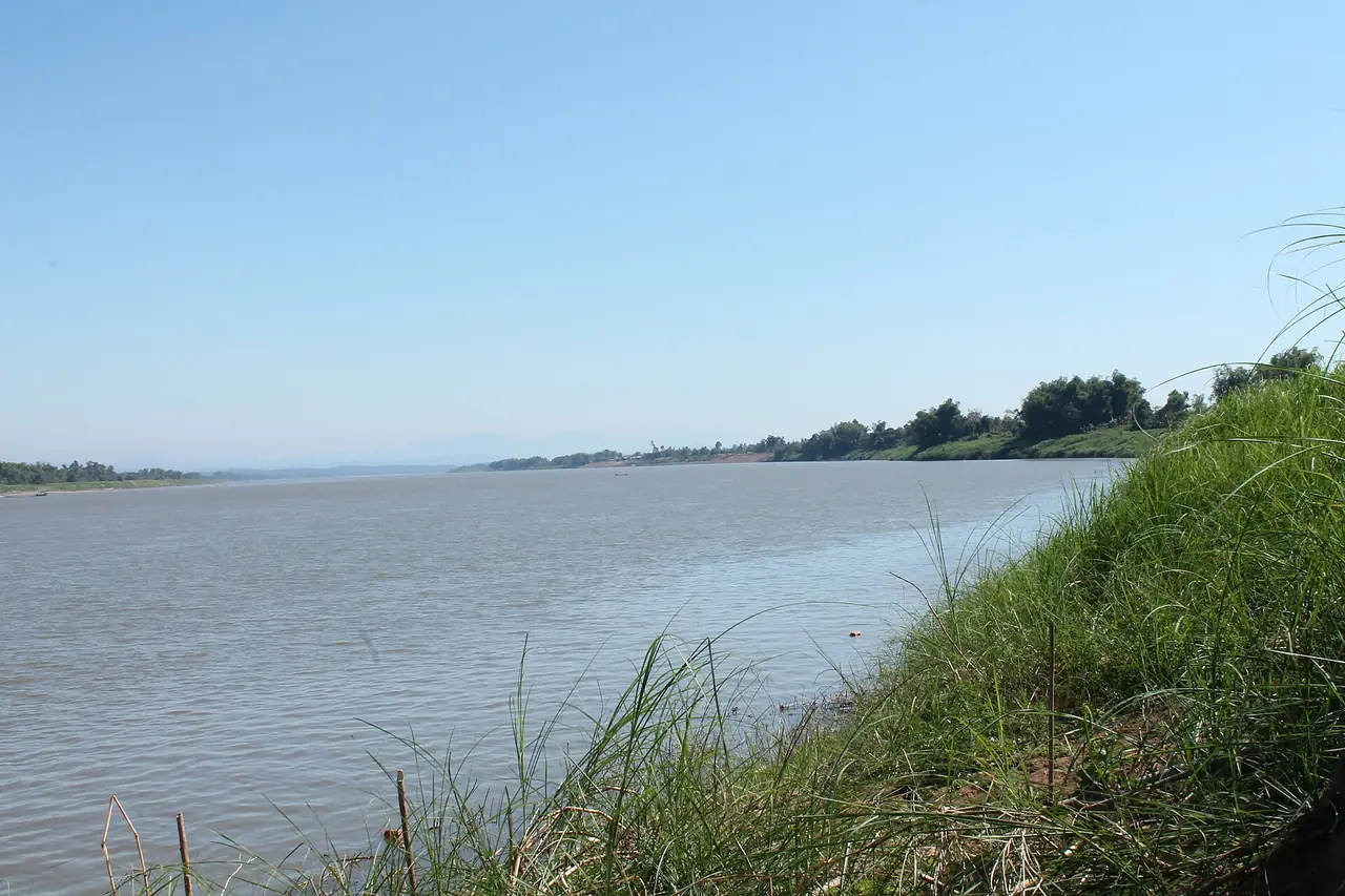
Bueng Kan sits in the far north of Isaan, on the Mekong, with Laos in plain view across the water. It is Thailand's newest province, which is one reason it is still quiet. There is no airport and no railway, so the journey takes a while, but the reward is a temple whose wooden walkways hug a sandstone cliff, a pink sandstone mountain with rocks shaped like whales, a shallow lake that fills with migrating waterbirds in the cool season, protected forest with waterfalls, and an evening riverbank that suits doing nothing.
This guide uses only what we checked on 16 October 2026 against the sources listed at the bottom: English and Thai Wikipedia, Wikivoyage, and one hotel's own website. Where sources disagree we show both numbers, and we leave out entry fees, opening hours and booking rules that we could not confirm with the place's own operator. Check them before you go.
What kind of province is Bueng Kan?
Thai Wikipedia says Bueng Kan was created by the Act Establishing Changwat Bueng Kan, in force from 23 March 2011, by splitting eight districts off Nong Khai province: Mueang Bueng Kan, Seka, So Phisai, Bung Khla, Bueng Khong Long, Pak Khat, Phon Charoen and Si Wilai. The numbering differs by source: the Thai article calls it the 77th province, the English article the 76th, but both agree it is the newest. The Thai article puts the province 765 km from Bangkok and calls it a major secondary tourist province on the Mekong.
The name comes from a swamp near the town. The Thai article says it was first written Bueng Kan with a word meaning gold (golden water), and in 1934 the officials changed the second word to the one meaning black, because the water was dark. English Wikipedia links the word to the Hindu deity Kala or the colour black. The province borders Nakhon Phanom, Sakon Nakhon and Nong Khai, with the Mekong as the boundary with Bolikhamsai province in Laos to the north and east.
Getting to Bueng Kan
There is no commercial airport in the province and no passenger rail. Wikivoyage says the nearest Thai airports are Sakon Nakhon about 180 km south and Udon Thani about 195 km south-west. English Wikipedia's town article gives Udon Thani at about 200 km and Sakon Nakhon at about 172 km, and says the nearest railway station is Udon Thani. The Lao airport at Vientiane is closer, but Wikivoyage warns that the border crossing is complicated.
| From | By | What the sources say |
|---|---|---|
| Bangkok | Bus | Wikivoyage: a state-run Transport Co. bus from Mo Chit once a day at 19:00, 12 hours 15 minutes, 517 baht; private firms such as Sawadee Esan and 407 Pattana also run it. This is not dated this year, so recheck |
| Bangkok | Bus (town article) | English Wikipedia: air-conditioned buses by day and night, 10.5 to 12 hours depending on the company |
| Udon Thani | Bus or car | Wikivoyage: 3 hours 40 minutes; Wikipedia: about 3 hours 45 minutes |
| Chiang Mai | Bus | Wikivoyage: a daily Phetprasert bus via Phitsanulok and Udon Thani, over 15 hours |
| Nong Khai and Nakhon Phanom | Driving | Wikivoyage names Highway 212 from Nong Khai and Nakhon Phanom, and 222 from Sakon Nakhon |
Distances from Bangkok vary: Thai Wikipedia's province article says 765 km, English Wikipedia's town article about 750 km, and the 12Go page we opened has its own facts block that says 500 km, which looks like a straight-line figure rather than road distance. Do not use that figure to plan a drive.
The fifth friendship bridge
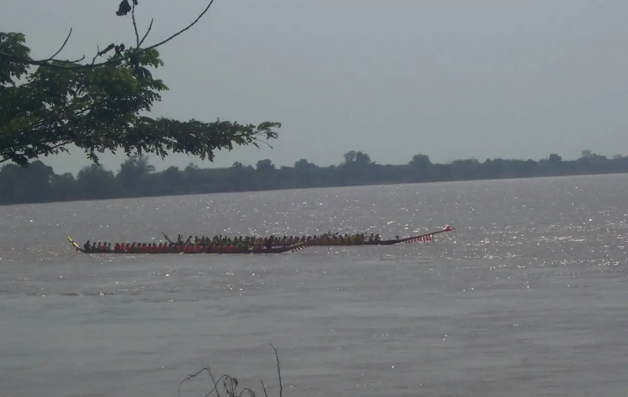
English Wikipedia says construction of the Fifth Thai-Lao Friendship Bridge, linking Bueng Kan with Bolikhamsai province, began in 2021 and was expected to finish in 2023. That text is old. We have not confirmed with Thai or Lao authorities when it opened or whether it takes passengers. If you plan to cross to Pakxan, check the bridge status, checkpoint hours, documents and visa rules for your nationality first.
Getting around the province
The province is wide and the sights are spread across districts. Thai Wikipedia gives distances from the town: Si Wilai 27 km, Bung Khla 40 km, Phon Charoen 45 km, Pak Khat 47 km, So Phisai 64 km, Seka 71 km and Bueng Khong Long 73 km. With limited time, a rental car or a hired driver is easier than waiting for local buses, and it helps to group visits by direction rather than zigzag.
Book your trip
The Bangkok to Bueng Kan page on 12Go showed this when we opened it in a browser on 16 October 2026 for 18 October and two travellers: 19 trips from THB 834 to THB 20,400, made up of 7 buses starting at THB 834 and 12 taxis starting at THB 1,725. The bus operators in the results list were Sawadee Esan and Budsarakham Tour; the taxis were Than Car Service and Kim Transfers Thailand. The schedule table lower on the same page also listed other bus companies such as Jiratkan Kemarat, Air Udon, Lotus Phibun Tour and Cherdchai Tour, with morning and evening departures.
Look at the drop-off point before you pay. One bus in the results ended at a market in So Phisai, which Thai Wikipedia puts about 64 km from Bueng Kan town, while another named the Bueng Kan bus terminal. These figures are what the page showed that day, not guarantees, and they change with the date and seat. Some links on this site may earn us a commission, which does not change the price or time you see.
There is no train and no airport in the province. If you fly, plan a road transfer from Sakon Nakhon (about 172 to 180 km) or Udon Thani (about 195 to 200 km) as the sources say, and allow several extra hours.
Seasons
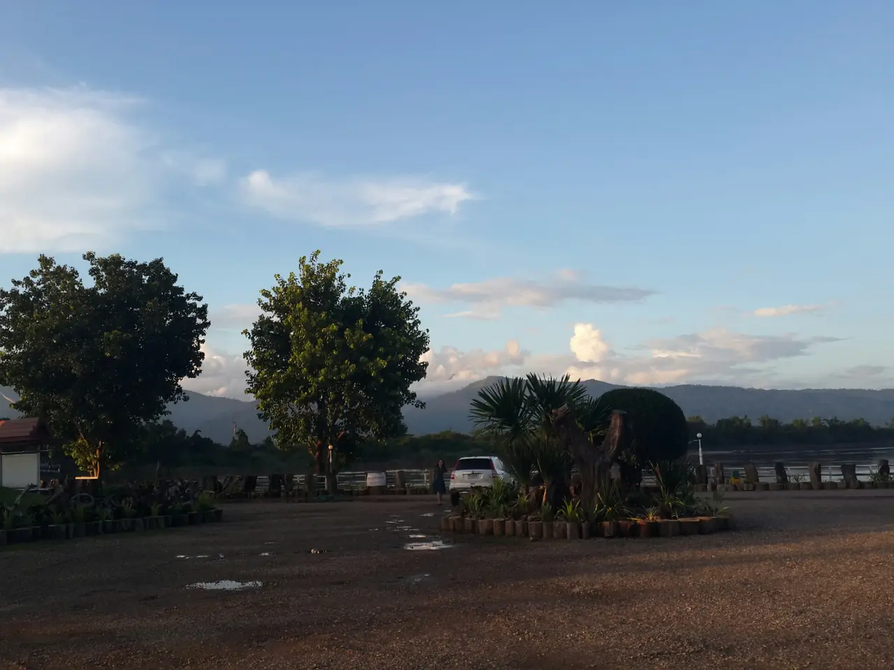
English Wikipedia says Bueng Kan has a wet season and a dry season: temperatures fall in November, are lowest in December and January, rise quickly in March and peak in April. The Thai article adds that the Mekong keeps summer from being too hot and that the cool season is pleasant and busy, with hotel rooms booked steadily around main festivals.
From the sources, late rains to the cool season have several advantages. Migratory birds arrive at Bueng Khong Long, the sandbar beach beside the lake appears in winter, and from Phu Sing a morning in the wet-to-cool months can bring a sea of mist. In the hot season you can see across to Laos from Phu Sing, and the rocks of Kaeng A Hong show between March and May. Waterfalls carry more water in the rains but the paths are slippery. Check the Thai Meteorological Department forecast before a hike or cave climb.
Wat Phu Tok
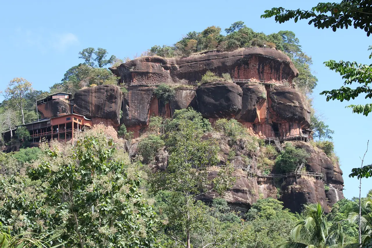
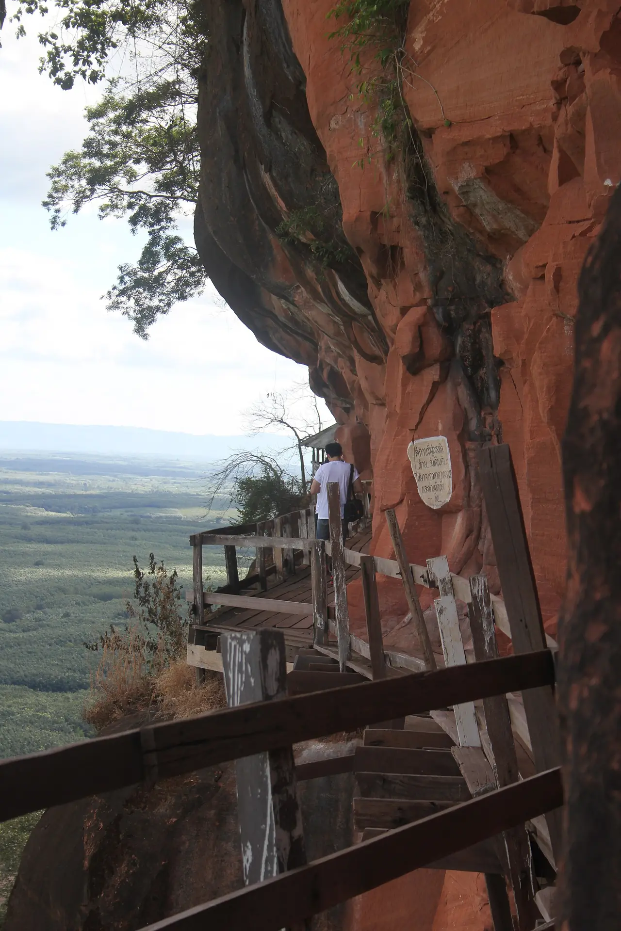
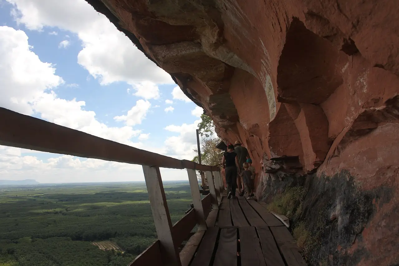
Wat Chetiyakhiri Wihan, known as Wat Phu Tok, is in Si Wilai district and is the sight people most often single out. Thai Wikipedia says it was founded in 1940 by Phra Ajahn Juan Kulchettho, who had a vision of two palaces on the small Phu Tok hill and then settled to meditate in a cave on it. The mountain has stairs and wooden walkways in seven levels running round the cliff to huts and caves tucked into the rock, with views over the plain below. The article says villagers built the walkways at levels 5 and 6 between about 1969 and 1971, drilling the rock and setting timber scaffolding span by span.
The height depends on the source. Thai Wikipedia says 460 metres measured from the base to the top; Wikivoyage describes a 359 m sandstone hill with two peaks and a wooden walkway. They may be measuring from different points. The Thai article puts the temple 48 km from Bueng Kan town on Highway 212, while Si Wilai district office is 27 km from town; those are different destinations. Check the temple's rules on dress, visiting hours and closures before you go, since we did not read a notice from the temple itself.
Phu Sing and Hin Sam Wan
Thai Wikipedia says the office of Phu Sing forest park (Hin Sam Wan) is in Khok Kong subdistrict, Mueang Bueng Kan district. Phu Sing is a long ridge of pink sandstone with several small monasteries along it and a wide rock plateau on top that you can drive onto. Its best-known feature is Hin Sam Wan, three rocks shaped like whales on the cliff edge. English Wikipedia calls the formation 75 million years old, and Wikivoyage says you can walk on the mother and father rocks but the smallest baby cannot be reached.
The Thai article says a morning visit in the wet-to-cool months may show mist over the whole mountain, while in summer the view reaches Laos and the Mekong. We have not checked opening hours or access rules with the agency that runs the park, so ask before you go.
Naka Cave and Phu Langka National Park
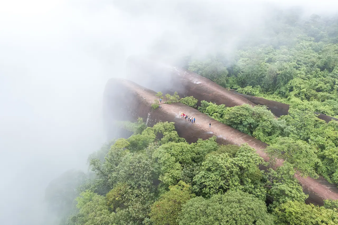
Naka Cave is in Phu Langka National Park, Bueng Khong Long district. Thai Wikipedia says a group of visitors photographed the rocks around 2020 and the site first opened to visitors on 1 July 2020. The sandstone is cracked into a scale-like pattern and rises 5 to 30 metres. The article explains the pattern geologically as sun cracking in sandstone about 70 million years old, while local belief links it to the naga myth.
The route description varies. Thai Wikipedia says you climb from Wat Tham Chai Mongkhon up steep steps, at least 600 of them, in about an hour and a half. Wikivoyage says you climb more than 300 m on steel stairs through the forest, that booking and a guide are required, that guides are paid by donation of around 800 baht on top of the ticket, and that you may be asked to buy water and gloves, with bookings through the QueQ app. Wikivoyage updated that in 2022, so rules and costs may have changed; we do not quote any of it as a price. Confirm with the park or the temple.
Thai Wikipedia says Phu Langka National Park covers about 50 square kilometres across Nakhon Phanom and Bueng Kan, with its highest point at 563 m on Phu Langka Nuea. The waterfalls on the Bueng Kan side are Tat Wimanthip and Kinnari in Bueng Khong Long district.
Phu Wua Wildlife Sanctuary and the waterfalls
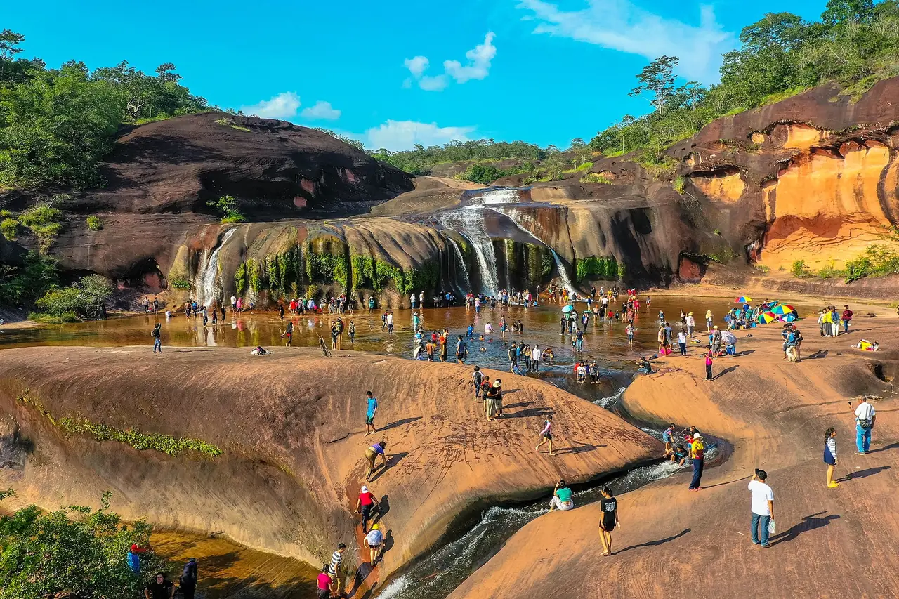
English Wikipedia says Phu Wua Wildlife Sanctuary covers 186.5 square kilometres in Seka and Bung Khla districts, ranging from 160 to 448 metres, and was established by royal decree on 2 May 1975. It lists elephants, tigers, leopards, bears, pheasants, monkeys and gibbons. The Thai article lists Chet Si waterfall in Seka as one of the area's best, with water falling over a sandstone cliff and spreading out above a pool where people swim; Chanaen is the largest in the sanctuary, and Tham Phra and Hin Salert in Seka and Tham Fun in Bung Khla are also named.
Water levels and the safety of paths change with the season, and some areas may be closed, so check with the sanctuary office.
Bueng Khong Long and Nong Kut Thing
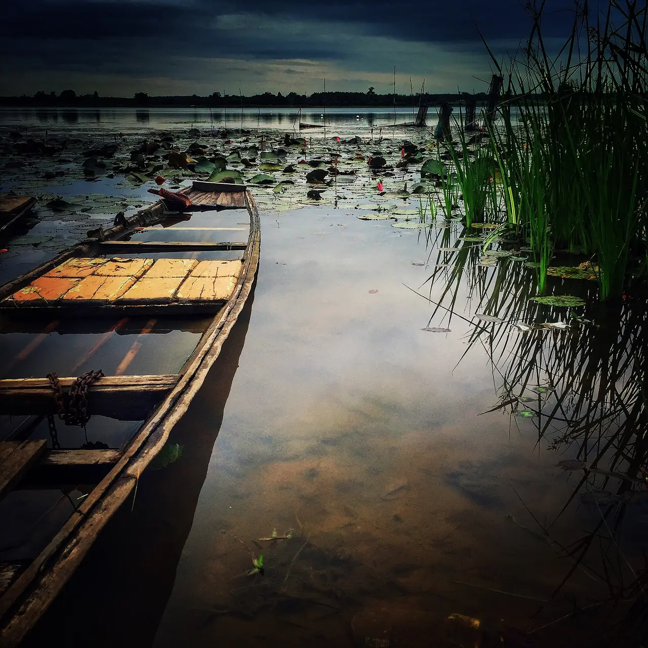
Bueng Khong Long is a freshwater lake in Seka and Bueng Khong Long districts. Thai Wikipedia gives its length as about 13 km, area more than 8,062 rai, average depth 50 to 100 cm and deepest point 6 m. It has islands such as Don Kaeo, Don Pho and Don Sawan and was listed as a wetland of international importance (Ramsar) in 2001. The article records at least 29 bird species, mostly migrants. The province article describes wild geese, ducks, egrets and kingfishers in the cool season, a birdwatching point at Don Sawan where the non-hunting area office is, and Kham Somboon beach beside the lake in winter.
In the town area, the province article describes Nong Kut Thing as the country's 11th Ramsar wetland, about 22,000 rai, with more than 250 aquatic species and 20 fish said to be found only there. That comes from one article; we did not check it with the wetland authority.
The Mekong, Kaeng A Hong and the two-bank market
The province article recommends Mekong views at Pak Khat, Bueng Kan town and Bung Khla. In town there is White Sand Beach, about 2 km of river sand good for a walk in the morning or evening. There is also Kaeng A Hong, a rock rapid in the river in front of Wat Ahong Silawat, which villagers call the navel of the Mekong, considered the deepest point. The rocks show from March to May, and around the end of Buddhist Lent, when the Thai and Lao calendars coincide on the 15th waxing day of the 11th month, people gather to watch the so-called naga fireballs. That is a local belief and tradition, and we did not check it against any scientific source.
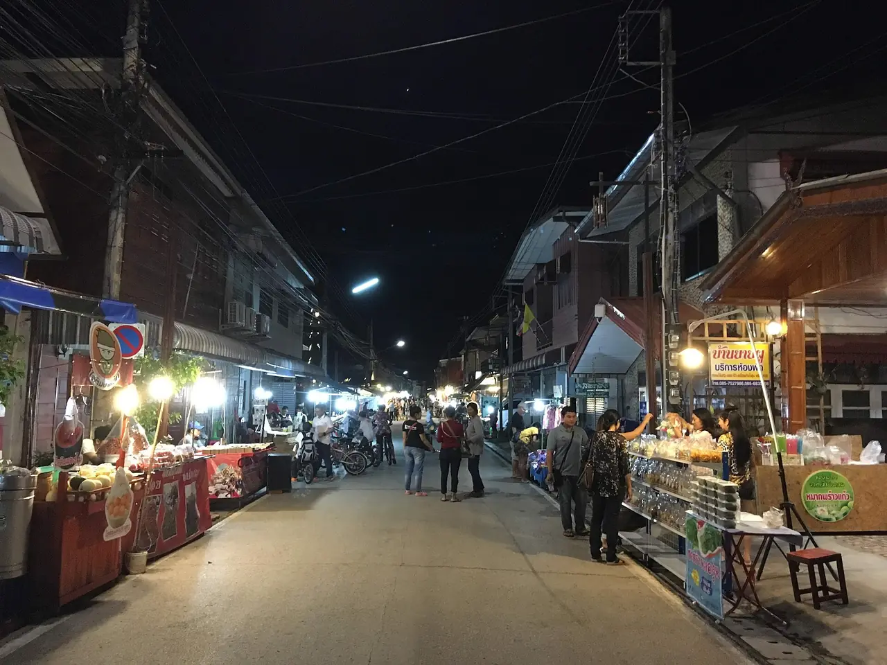
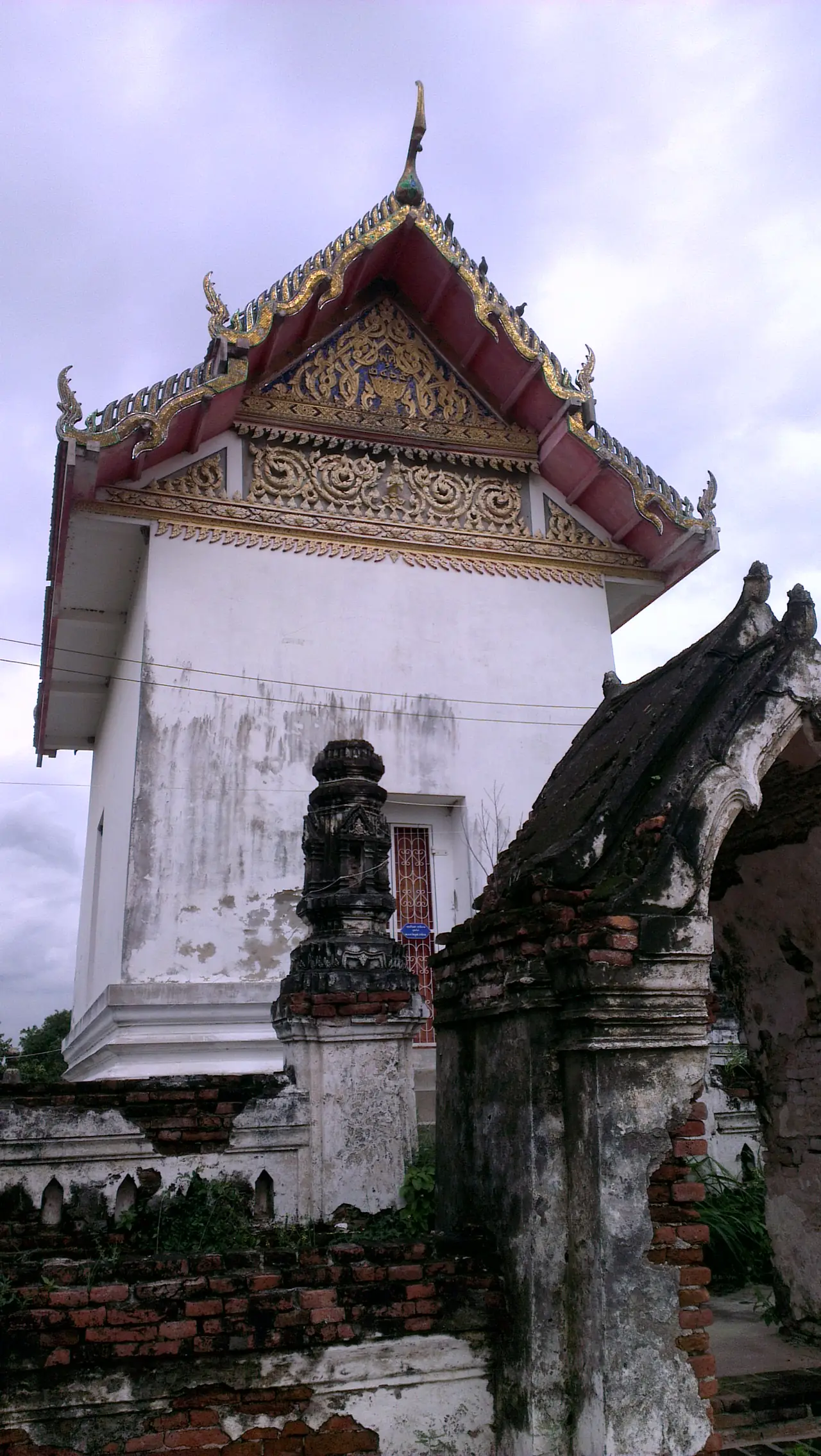
The two-bank market on the riverside has Thai and Lao traders; the article says it runs on Tuesdays and Fridays, which we have not confirmed with the municipality. In Pak Khat, Wikivoyage recommends Wat Sawang Arom, built in 1882 by a Lao settler who wanted to live on the Mekong, and Thai Wikipedia says its chapel sits on a large boulder, with a reclining Buddha in a cave beneath and a viewpoint over the river on top.
Festivals
The province article lists the Bun Bang Fai rocket festival, Songkran, long boat races, Bueng Kan Rubber Day and a cool-season event called Nao Di Di at Bueng Kan. We have not checked this year's dates; look at provincial or Tourism Authority of Thailand announcements before planning around one. English Wikipedia says para rubber is the principal crop of the town, which explains the rubber day.
A 1 to 3 day plan
These are our suggestions, built from the distances in the sources, not real timetables.
- 1 day: Wat Phu Tok in the morning (about 48 km from town), Phu Sing and Hin Sam Wan in the afternoon if the weather is clear, then the Mekong walk at White Sand Beach.
- 2 days: Day one as above. On day two drive to Bueng Khong Long (about 73 km), watch birds at Don Sawan in the cool season, then stop at a waterfall in Phu Wua or Phu Langka depending on the water.
- 3 days: Add a day for Naka Cave if you can book it and manage steep stairs, or head to Pak Khat for Wat Sawang Arom and the river. Keep a spare day for rain.
Where to stay in Bueng Kan
We have not built a hotel comparison page for Bueng Kan. We only list hotels that have an official website we can read and whose facts we can check a second time against that site, and at the moment only one passes, which is below the minimum for a comparison page. This section is therefore area advice only.
- Bueng Kan town near the Mekong: B2 Bueng Kan Boutique & Budget Hotel says in a news post on its own website dated 30 August 2024 that it is on Chayangkul Road in the heart of town, has 72 rooms in four types, is a 10-minute walk from the Mekong and about 15 minutes by short drive from Kaeng A Hong. That post is dated, so confirm rooms and rates with the hotel.
- Si Wilai and Phu Tok: you can base in town and drive, since Si Wilai district office is 27 km from town per Thai Wikipedia.
- Bueng Khong Long and Seka: for birds, waterfalls and Phu Langka, a base near Bueng Khong Long (73 km from town) saves a long drive each morning. We have not checked any hotel in that area against an official site.
Rooms can fill quickly around festivals and in the cool season, since the Thai article notes a steady flow of visitors then.
Nearby destinations
- Nong Khai: the province Bueng Kan was split from, with the First Friendship Bridge to Vientiane.
- Nakhon Phanom: the Mekong province bordering to the south.
- Sakon Nakhon: a neighbouring province with one of the nearest airports.
- Udon Thani: the airport and railway hub of upper Isaan.
- Mukdahan: the next Mekong town further south.
- Isaan overview
- Getting around Thailand
- Thailand overview
Frequently asked questions
Does Bueng Kan have an airport or a train station?
No. Wikivoyage says the nearest Thai airports are Sakon Nakhon (about 180 km) and Udon Thani (about 195 km), and English Wikipedia says the nearest railway station is Udon Thani. Most people arrive by bus or car.
How do I get from Bangkok to Bueng Kan, and how long does it take?
Mostly by bus. English Wikipedia says 10.5 to 12 hours depending on the company, and Wikivoyage says most services are overnight. The 12Go page we opened on 16 October 2026 showed 19 trips, with listed prices starting at THB 834 for a bus and THB 1,725 for a taxi. Those are one day's figures only.
When was Bueng Kan province created?
Wikipedia says the act came into force on 23 March 2011, splitting it from Nong Khai. It is Thailand's newest province, the 77th in the Thai article and the 76th in the English one.
When is the best time to visit?
Late rains to the cool season, about November to February: temperatures fall, migratory birds arrive at Bueng Khong Long and there may be mist at Phu Sing, per the articles. The hot season gives clearer views of Laos and lets you see Kaeng A Hong, but April is the hottest month according to English Wikipedia.
Do I need a car?
For several sights, yes. The sights are spread from Si Wilai (27 km from town) to Bueng Khong Long (73 km), per Thai Wikipedia. If you do not drive, hire a car with a driver for the Phu Tok or Bueng Khong Long days.
Do I need to book Naka Cave?
Wikivoyage, updated in 2022, says booking and a guide are required. We have not confirmed current rules with the park or Wat Tham Chai Mongkhon, and the sources disagree on the number of steps and the length of the climb. Check first and be ready for steep stairs.
How high is Wat Phu Tok?
The sources disagree. Thai Wikipedia says 460 m from base to top and Wikivoyage says 359 m. Both agree on wooden walkways up the cliff; the Thai article describes seven levels.
Can I cross into Laos from Bueng Kan?
English Wikipedia says the Fifth Friendship Bridge began construction in 2021, but that text is old and we have not confirmed the current status. Ask the Bueng Kan customs and immigration offices before you go and check visa rules for your nationality.
Official sources and further reading
- Bueng Kan province (Wikipedia)
- Bueng Kan (Wikipedia)
- Bueng Kan province (Thai Wikipedia)
- Bueng Kan town municipality (Thai Wikipedia)
- Wat Chetiyakhiri Wihan / Phu Thok (Thai Wikipedia)
- Tham Naka (Thai Wikipedia)
- Bueng Khong Long (Thai Wikipedia)
- Phu Langka National Park (Thai Wikipedia)
- Phu Wua Wildlife Sanctuary (Wikipedia)
- Bueng Kan (Wikivoyage)
- B2 Bueng Kan: hotel news post
- 12Go: Bangkok to Bueng Kan
Prices, schedules and entry rules change. Figures here are approximate as of 2026; always confirm on the official or operator page before you book. Spotted something out of date? Tell us.