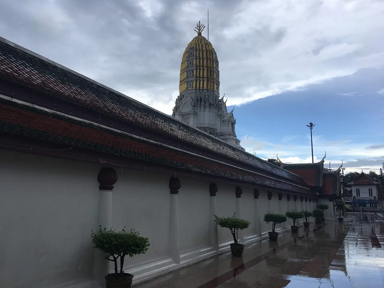
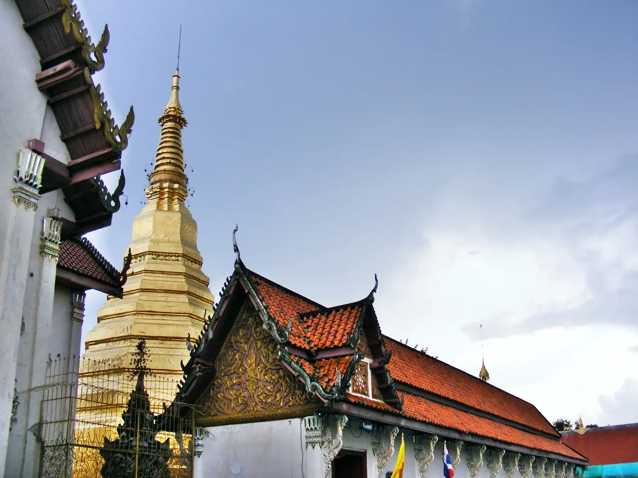
Uttaradit is a lower-northern province that most people know only from the window of a train or a car. It has Sukhothai-era temples, the largest earthen dam in Thailand, a teak tree that sources call the biggest in the world, and Laplae, the district famous for durian. There is no airport in the province, but the Northern Line train stops at Uttaradit every day, which makes it a natural break on the way to Phrae, Nan or Chiang Mai.
This guide uses only information we checked against the sources listed at the bottom (Wikipedia, Wikivoyage, the Tourism Authority of Thailand, the national parks department and the hotels' own sites) on 16 October 2026. Where sources disagree we show both numbers. Fees and opening hours appear only when we could read them on an official page, and we tell you to phone ahead because some pages are older than the situation on the ground.
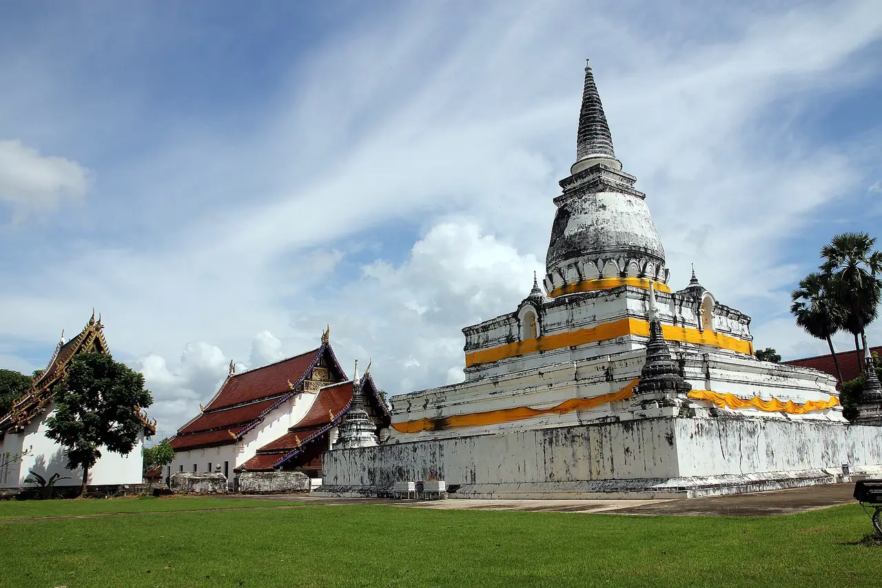
What kind of place is Uttaradit
The name means "port of the north". Wikipedia explains that large boats could go up the Nan River only as far as Bang Pho, where the town now stands; rapids begin above it, so cargo changed between river and road here. The beach market at Tha It, a little upstream, drew traders from Phrae, Nan, Luang Prabang and Sipsong Panna until the northern railway reached the province. Thai Wikipedia calls the province a cultural crossroads between Siamese, Lanna and Lan Xang influences and counts twelve ancient towns in its area.
English Wikipedia says Bang Pho was made a town under Phichai in 1887, the centre of Phichai moved here in 1899, and the name Uttaradit was adopted in 1915. Wikivoyage gives the older town name as Bang Pho Tha It.
On the climate, Thai Wikipedia describes a long dry season from about mid October to May, with April the hottest month, and a rainy season from about May to September, with September the wettest. The town article records that Uttaradit once held Thailand's temperature record, 44.5 C on 27 April 1960, until Mae Hong Son reached 44.6 C on 28 April 2016. In short, April is not the month for walking around outdoors.
TAT adds two pieces of local character: Laplae is said to be a place where lying is forbidden, and Uttaradit is the birthplace of Phraya Phichai Dap Hak, a Thonburi-era warrior.
Getting to Uttaradit
English Wikipedia places the town 488 km north of Bangkok and 238 km south-east of Chiang Mai. Wikivoyage and the town article give 483 km. Treat it as roughly 485 km, a multi-hour trip by train or car.
| From | By | What the sources say |
|---|---|---|
| Bangkok | Northern Line train | Wikipedia says there are two stations in town, Uttaradit (the main one) and Sila At. Thai Wikipedia counts 22 trains a day in both directions linking Bangkok, Phitsanulok and Chiang Mai, from special express to local. |
| Bangkok | Coach from the Northern Bus Terminal (Mo Chit 2) | Thai Wikipedia lists several departures a day from companies such as Cherdchai Tour, Win Tour, Nakhonchai Air, Nakhonchai Tour and the state operator. |
| Bangkok | Driving | Thai Wikipedia says several routes lead in but gives no drive time, so we give none. |
| Chiang Mai, Phrae, Phitsanulok, Sukhothai | Train or coach | From Uttaradit bus station there are coaches to Chiang Mai, Chiang Rai, Phrae, Nan, Phitsanulok, Sukhothai, Tak and further, per Thai Wikipedia. |
| By air | No airport | The province article says the nearest airport is in Phrae; the town article says Phitsanulok. |
Where the sources disagree
| Topic | What we found |
|---|---|
| Distance from Bangkok | 488 km (province article) against 483 km (Wikivoyage and the town article) |
| Nearest airport | Phrae (province article) against Phitsanulok (town article); check real flights and plan to finish by train or coach |
| Giant teak girth | 9.58 m (TAT and Wikipedia's symbols section) against 9.87 m (Wikipedia's geography section) |
| Phu Soi Dao area | 48,962.5 rai (TAT), 212,633 rai (DNP) and 125,110 rai (Wikivoyage) |
| Phu Soi Dao height | 2,102 m (TAT), 500 to 1,800 m (DNP), and Wikivoyage gives 1,428 m at Ban Rom Klao |
Park sizes and heights can differ because sources measure different boundaries or are out of date. For hiking plans, treat the national parks department as the main source.
Booking transport
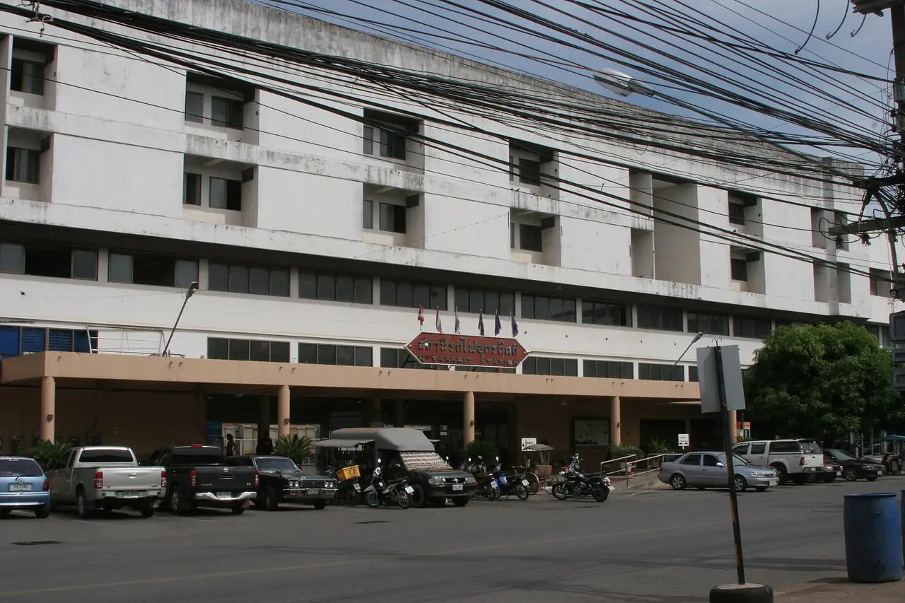
The 12Go page for Bangkok to Uttaradit showed the following when we opened it in a browser on 16 October 2026, searching Sunday 18 October for two travellers: 32 trips from THB 237 to THB 15,750, made up of 14 trains from THB 237, 8 buses from THB 491 (we saw Transport Co and Budsarakham Tour) and 10 taxis from THB 5,850. Those are the figures the page displayed that day, not guarantees, and they change with the date and seats left. Some links on this site may earn us a commission, which does not change what you pay. You can equally buy from the operator or at the station.
If you take the train, check timetables and seats directly with the State Railway of Thailand because services change. For the wider picture see Getting around Thailand.
Uttaradit and Sila At are two different stations. Wikipedia says both are in the town, and Sila At is a major centre for Northern Line operations. Name the station clearly when you book or give directions.
When to go
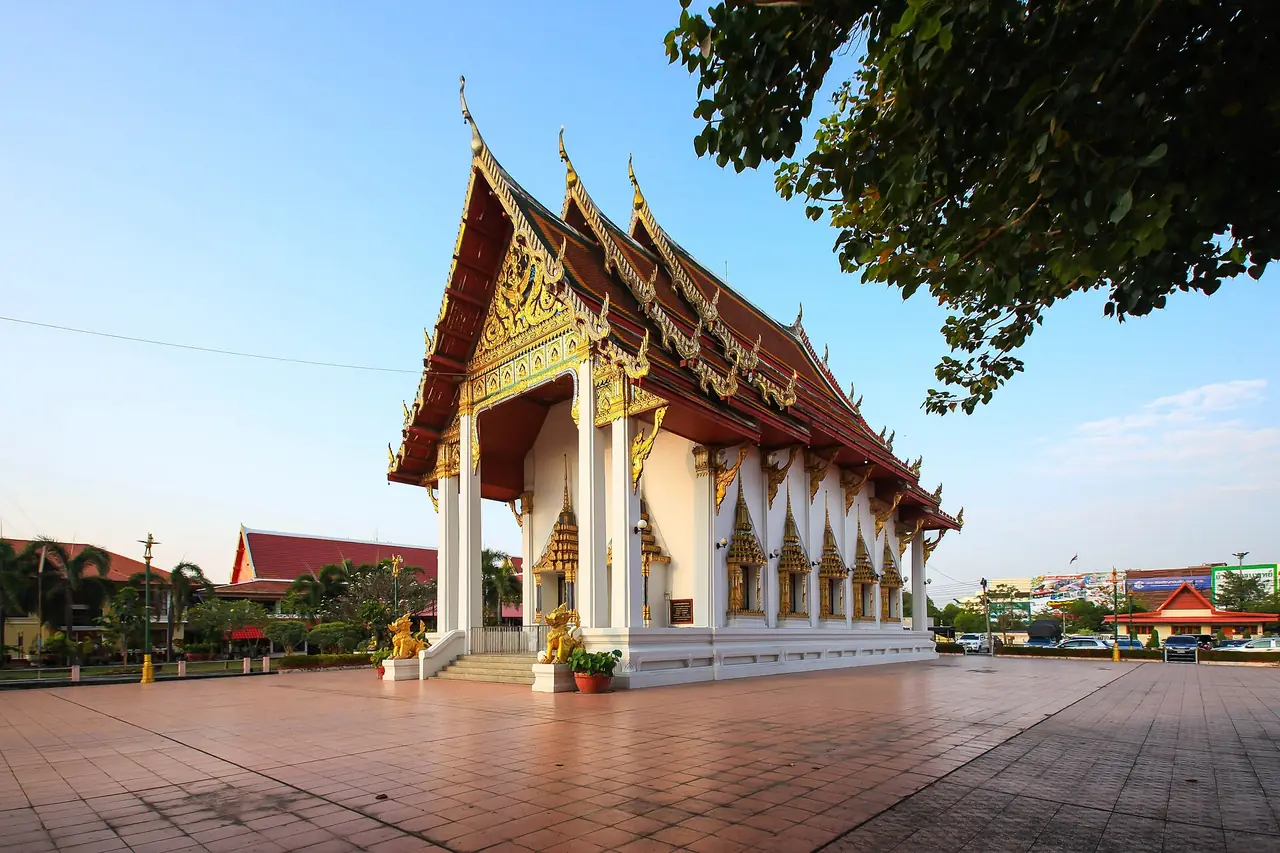
For fruit, follow Laplae's calendar. Wikipedia says a durian festival is held around the beginning of June in Laplae, the province is known for two mild-smelling durians, Long Laplae and Lin Laplae, and a langsat festival runs from about the middle to the end of September.
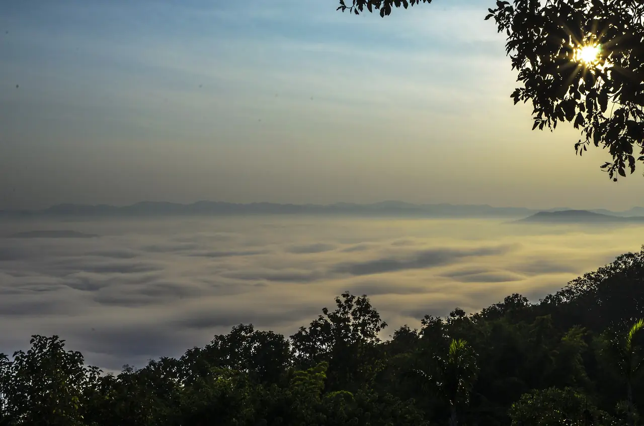
For nature, winter is the time most sources point to. TAT says a sea of mist can be seen from the Huai Nam Ri Skywalk in winter, and Lamnam Nan National Park is cool all year with heavy rain from May to September.
Wikivoyage lists two annual events: the Phraya Phichai Dap Hak and Red Cross Fair on 7 to 16 January, and a Buddha cremation re-enactment at Wat Phra Borommathat Thung Yang after Visakha Bucha. TAT says the fair at Wat Phra Thaen Sila At is held on the full moon day of the third lunar month. Dates move, so check with TAT or the provincial office.
In Uttaradit town
The Phraya Phichai Dap Hak Memorial stands in front of Uttaradit City Hall. TAT describes a half-ton steel sword inlaid with mother-of-pearl and girdled with incised silver, honouring the governor of Phichai who fought Burmese invaders in 1773 until one of his swords broke. The monument opened in 1969 and an adjoining museum shows his biography and battlefield models. TAT gives operating hours as 8.00 am to 6.00 pm.
Wat Tha Thanon sits on the Nan River on Kasemrat Road, directly opposite the railway station. TAT says it houses Luang Pho Phet, a Chiang Saen-period bronze Buddha in the diamond posture that Uttaradit people revere. It is an easy stop while waiting for a train.
Wat Phra Fang (Wat Phra Fang Sawangkaburi Muninat) was built in the Sukhothai period, says TAT, and is the only archaeological site left of the old town of Mueang Fang Sawangkaburi. Its main feature is the Phra Mahathat Chedi with Buddha relics inside.
The Provincial Cultural Hall is a two-storey wooden building about 90 years old that keeps the province's antiques, but TAT says it is normally not open to visitors and you must contact the Cultural Office first, so do not plan a day around it.
Paramin Bridge and Phichai
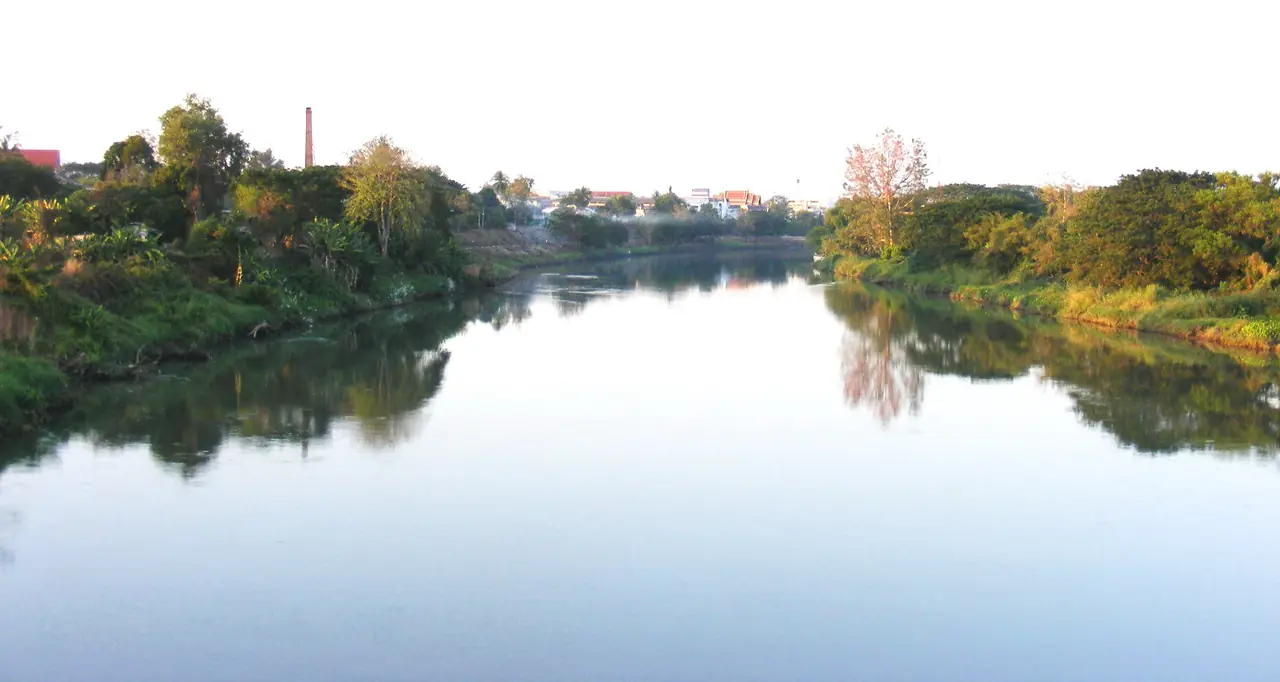
In its article on seven places in Uttaradit, TAT says Paramin Bridge at Ban Dara in Phichai district was built under King Rama V in 1906 as the largest railway bridge on the northern line, crossing the Nan River near Ban Dara Junction. It was officially opened on 7 December 1909, badly damaged by bombing in the Second World War and rebuilt as a steel bridge in 1953. The area underneath is now a riverside public park.
Laplae: temples, museum, waterfall and durian
Laplae is a small valley west of the town, better walked slowly than driven through.
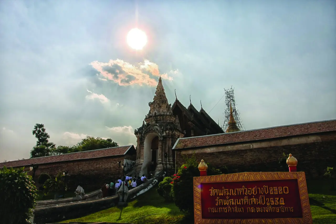
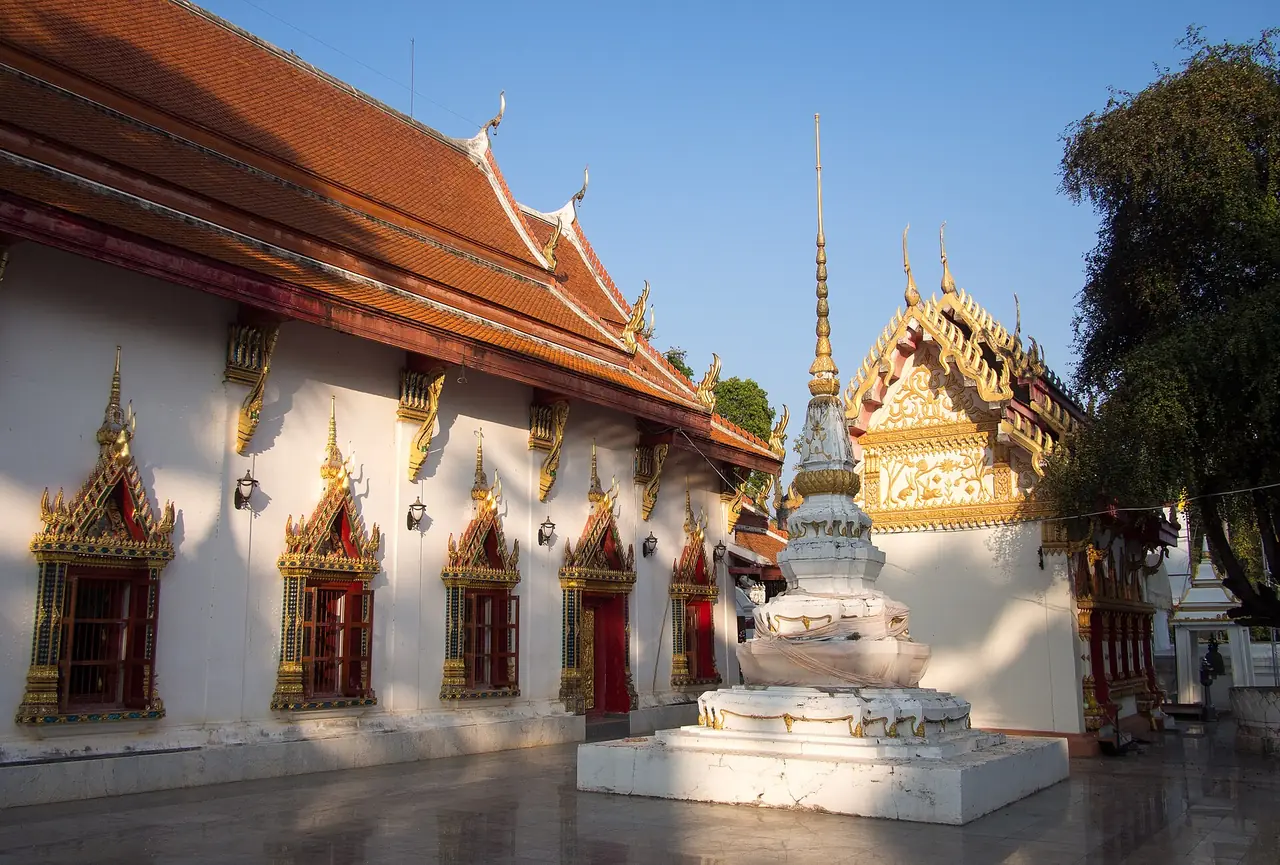
Wat Phra Borommathat Thung Yang was originally called Wat Mahathat, says TAT, and holds legends of a visit by the Buddha. A Lanna-style wihan with a three-tier roof stands at the front and houses Luang Pho Prathan Thao, a Chiang Saen-style Buddha subduing Mara. Murals show the Phra Sang Thong story. Behind it is the round, bell-shaped Lanka-style stupa on a three-tier square base, with small stupas at the corners of the lowest tier and arched niches on the third, which TAT reads as a sign of later restoration.
Wat Phra Thaen Sila At is at Ban Phra Thaen, Thung Yang, and its mondop appears on the provincial seal. TAT says the temple holds a rectangular laterite seat about 8 x 10 x 3 feet with a lotus-petal pattern at the base. A forest fire burned the mondop and wihan in 1908, leaving the seat, and it was restored under King Rama V. The carved teak door panels originally belonged to the wihan of Wat Phra Si Rattana Mahathat in Phitsanulok. A two-storey Lanna-style local museum in the compound is open daily 8.00 am to 5.00 pm according to TAT, with fishing tools, paddle boats, basketry, blacksmith tools, Sukhothai-period Sangkhalok ceramics and Buddha images of several periods.
The Laplae Museum in Si Phanommat subdistrict covers the history, traditions and community life of Laplae and honours Phra Si Phanommat, who helped develop the town. TAT lists replica traditional houses, an ecotourism service centre and a replica of the old town, and gives opening hours of 8.30 am to 5.30 pm daily.
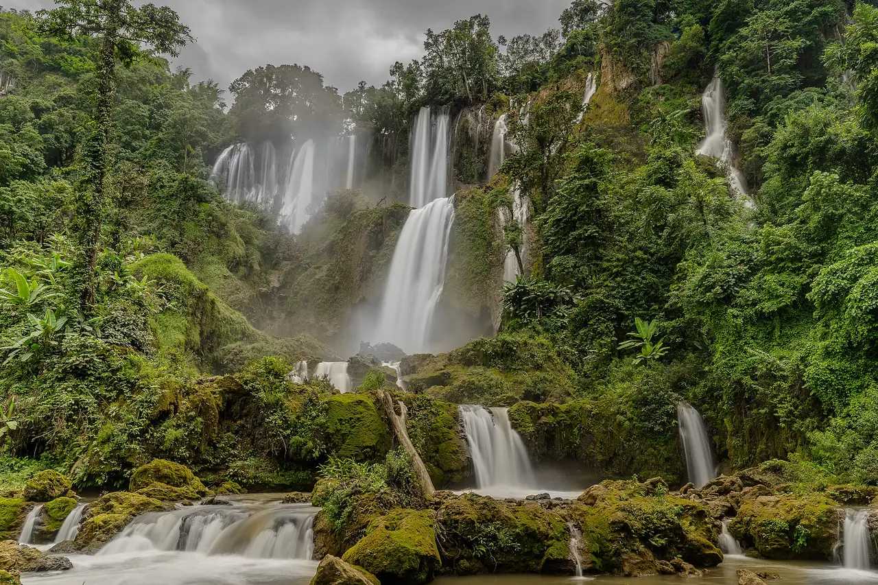
Namtok Mae Phun is close to town. TAT describes a weir with several cascades, a pavilion for resting and more than ten restaurants cooking to order, with papaya salad and grilled chicken the favourite. The route TAT gives is about 8 km from Mueang district and then about 12 km along Highway 1043, or a red songthaew from Tula Sathit Road every 30 minutes between 6.00 am and 5.00 pm. The songthaew detail may be dated, so ask where you stay.
Durian and langsat
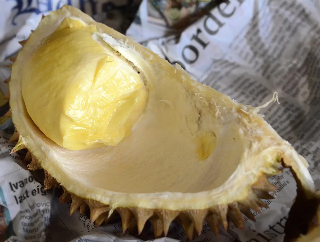
Wikipedia calls the province largely agricultural: durian output was estimated at about 20,000 tonnes in 2012 from about 10,600 acres of orchards, and Long Laplae and Lin Laplae are described as lacking the usual strong smell. If you come in early June, ask your hotel or locals which orchards sell to visitors; we did not check prices or locations. The second fruit is langsat, which Wikipedia says tastes similar to longan, with a festival in mid to late September. Wikivoyage also mentions kluai kuan, a chewy preserved banana sweet, and local woven textiles as things to buy. TAT mentions Khao Khaep and Khao Phan Phak as local dishes.
Sirikit Dam and the northern forests
North of town the land turns to mountains and reservoir. Distances are longer than in Laplae, so you need your own vehicle or a hired car.
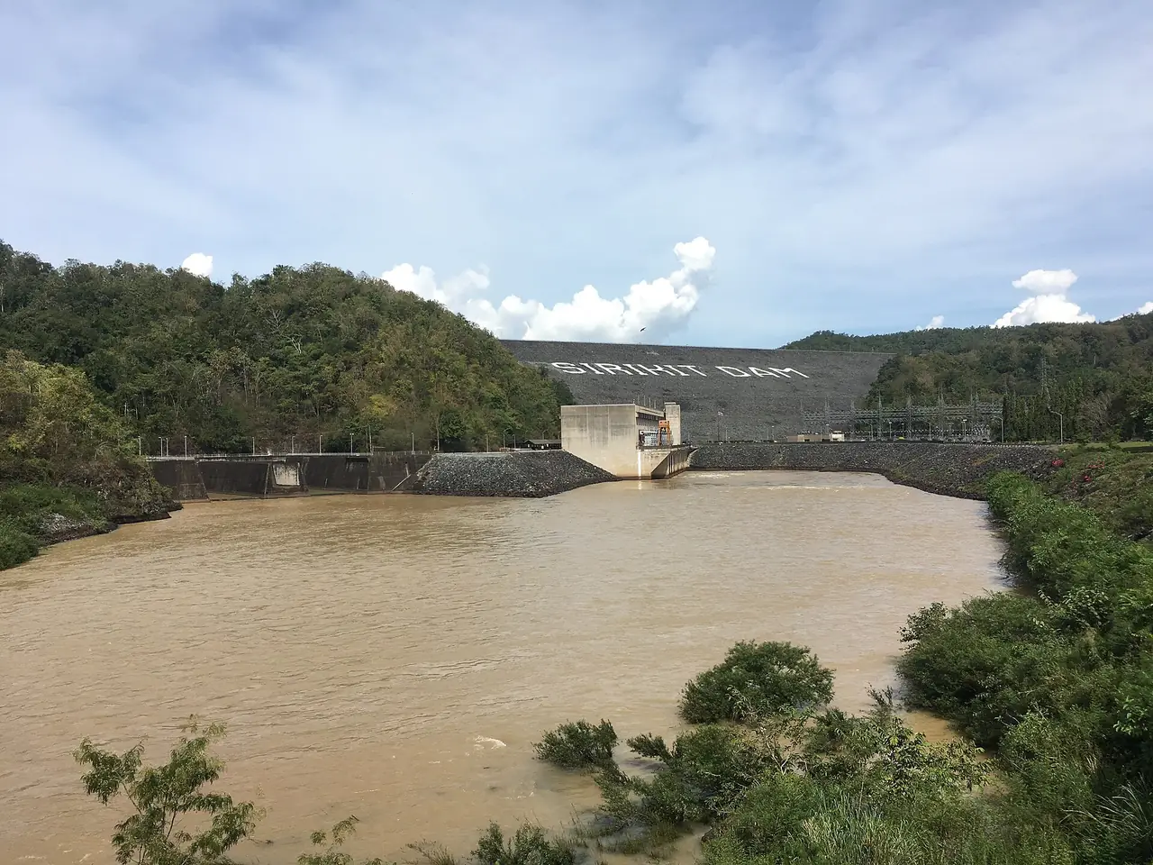
Sirikit Dam is about 45 km north of the city according to Wikipedia. TAT calls it Thailand's largest earthen dam, first named Pha Som Dam, with a clay core, 113.60 m high, 810 m long and 12 m wide at the crest. The reservoir holds 9,510 million cubic metres, the third largest in Thailand after Srinakarin and Bhumibol. Wikipedia puts the lake at 250 square kilometres. TAT lists Sumalai Park, created by EGAT in 1992 for Queen Sirikit's 60th birthday, among the sights.
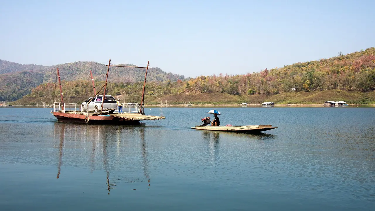
The upstream reservoir lies in Lamnam Nan National Park, which TAT says spans Phrae and Uttaradit, covers about 999 square kilometres and was declared a park on 30 September 1998. Phu Phaya Pho at 1,350 m marks the provincial boundary. TAT lists the reservoir with its islands for rafting and boat trips, the Kaeng Nang Phaya rapids, Choeng Thong, Huai Mun and Doi Pha Mok waterfalls, Nom Sao Island and the Suriyan-Chantra viewpoint. A 2025 TAT article gives admission for foreign adults as THB 100 and children THB 50 and says the park has lodges and camping areas; the park's number is 09 0604 7793.
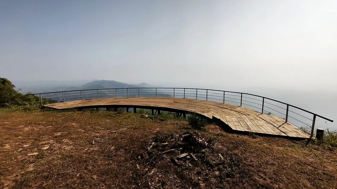
The Huai Nam Ri Skywalk in Chirim subdistrict, Tha Pla, is a 720 m reinforced-concrete bridge in a royal-initiative reservoir project. TAT says it gives panoramic views and, in winter, a sea of mist; the contact is Chirim Subdistrict Municipality, 0 5581 8044.
The giant teak
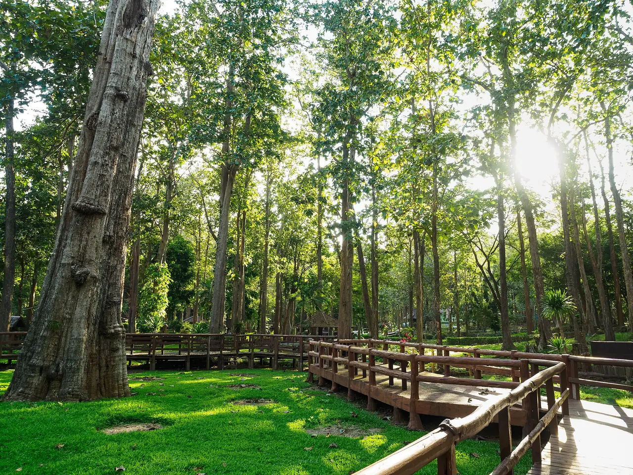
TAT says the teak in Ton Sak Yai forest park is more than 1,500 years old, 37 m high and 9.58 m round at the base. A storm broke off the top, but the trunk is alive. It was found in 1927 in a 35 square kilometre mixed deciduous park with a 2 km trail, open daily 6.00 am to 6.00 pm, with a listed fee of THB 100 for adults and THB 50 for children on a page that may be old. It is about 92 km from the city by Highways 1045, 1146 and 1047, past the entrance to Khlong Tron National Park. TAT suggests returning by the forest road toward Sirikit Dam and Tha Pla. Regional Office 11 can be reached on 0 5525 8028.
Phu Soi Dao
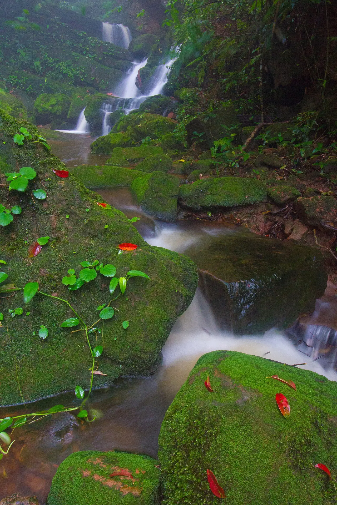
Phu Soi Dao National Park lies in Nam Pat and Ban Khok districts of Uttaradit and continues into Phitsanulok. TAT says it is cool all year, borders Laos, has wildflower fields among pines and a five-tier waterfall near the park office. A 4 to 5 hour hike leads to a pine plateau where you can stay overnight, passing Sai Tip waterfall. TAT's page lists fees of THB 200 for adults and THB 100 for children and phone numbers 0 5541 9234-5. The DNP page gives 095 629 9528 for the park address in Huai Mun subdistrict, Nam Pat. Because the TAT figures look old, use the DNP booking system and phone about roads, fees and lodging before you go.
More places the sources mention
This section comes from the place lists in Wikivoyage and Thai Wikipedia, which are volunteer-written and some entries may be dated. We did not check opening hours or fees, so use these as ideas for stops and phone ahead.
- Wat Phra Yun Phutthabat Yukhon: Wikivoyage says a Chiang Saen-style mondop covers a pair of holy footprints and the temple holds a Sukhothai-style bronze Buddha.
- Wat Klang: Wikivoyage describes an old temple with plaster bas-reliefs over the ubosot and rare early-Rattanakosin murals of the Jataka and celestial beings.
- Wat Yai Tha Sao: Wikivoyage says an old viharn keeps carved wooden door panels and lintels.
- Wat Thamma Thipatai: Wikivoyage says it keeps the door panels of the old royal viharn of Wat Phra Fang, carved in a late-Ayutthaya style and rated second only to those at Wat Suthat in Bangkok.
- Bo Lek Nam Phi: Wikivoyage says this was the source of high-quality iron ore used for swords and weapons, and two "wells" remain. Thai Wikipedia lists the Bo Lek Nam Phi folk museum in Thong Saen Khan district.
- Tham Chan and Tham Tao caves: Wikivoyage places them in Nam Phai subdistrict. Tham Chan is steep to reach, with a half-round entrance and a big chamber with a ceiling about 20 m high; Tham Tao is about 620 m away, with stalagmites and stalactites and a more complicated approach.
- Khlong Tron National Park: Wikivoyage gives about 518.80 square kilometres of hills and says an eight-level waterfall lies near Phu Miang.
- Phra Si Phanommat Memorial: Wikivoyage says it honours the Chinese-born liquor tax collector who helped develop Laplae and was given that rank under King Rama V, which links to the story told at the Laplae Museum.
- Wat Phra Yuen and Wat Phra Thaen Sila At make a natural pair (TAT spells the first Phra Yuen; Wikivoyage writes Phra Yun), since TAT says Wat Phra Thaen Sila At is just a little further on.
How many days
We give no drive times we could not verify, so use the distances the sources give.
- One day in town: the Phraya Phichai memorial, Wat Tha Thanon opposite the station, the riverfront and Wat Phra Fang suit a stop on the way to Phrae or Nan.
- Two days and one night with Laplae: town on day one; on day two Wat Phra Borommathat Thung Yang, Wat Phra Thaen Sila At, the Laplae Museum and Mae Phun waterfall, about 20 km from town.
- Three days and two nights with nature: add Sirikit Dam (about 45 km) and the reservoir, or the giant teak (about 92 km) and return via Tha Pla. Treat Phu Soi Dao as its own trip.
Where to stay in Uttaradit
Uttaradit has a small lodging market. For this guide we looked for hotels with an official site whose text we could read and re-check, and found five. That is below our bar of eight for a full where-to-stay comparison, so there is no stay page yet. Other places named in online lists had only Facebook pages or pages on booking engines, which we do not accept as confirmation. Everything below is what each hotel says on its own site; we show no prices or review scores.
- In town: Seeharaj Hotel says it is the first international-standard hotel in Uttaradit, in the city centre, with 152 Lanna-style rooms, free Wi-Fi and free parking. Araya Hotel advertises a 25 m salt-water pool, an EV charging point and meeting rooms. Friday Hotel says it is on the fifth floor of the Friday department store building in the centre and holds the TAT SHA Plus mark.
- Laplae: Hua Dum Resort says it is the closest stay to Wat Phra Thaen Sila At, about 3 km away, with Wi-Fi and parking. Distances are the resort's own figures.
- Sirikit Dam: Khun Saichol Villa is EGAT's guest-house site at Pha Lueat subdistrict, Tha Pla, with house types such as Baan Rang Nok Krachok, Baan Rang Nang Nuan, Baan Rang Nok Krajab and Baan Phu Nan. It suits people with a car who come for the dam.
- Parks and camping: Lamnam Nan National Park has lodges and camping areas according to TAT, and Phu Soi Dao accommodation is booked through the national parks department.
Without a car, staying in town is simplest because the railway station and Wat Tha Thanon face each other. If your goal is Laplae and its two temples, staying in Laplae saves travel, but you will need a vehicle.
Nearby destinations
- Phrae: the next province north on the same railway
- Phitsanulok: to the south; one source names its airport as the nearest
- Sukhothai: temples from the same era as several Uttaradit sites
- Nan: reachable via Phrae
- Tak: to the south-west via Sukhothai
- Thailand travel guide
FAQ
Does Uttaradit have an airport?
Not for scheduled passenger flights today. English Wikipedia says the nearest airport is in Phrae, while the town article says Phitsanulok. Check both and finish the trip by train or coach.
How do I get to Uttaradit from Bangkok?
By Northern Line train to Uttaradit station, by coach from the Northern Bus Terminal (Mo Chit 2), or by car. The 12Go page we opened on 16 October 2026 showed trains, buses and taxis; prices change daily.
When is the best time to visit Uttaradit?
Winter for the dam and forests, early June for Laplae durian, mid to late September for langsat. Avoid April, when Wikipedia records record-level heat in the town.
Where is the world's largest teak tree?
In Ton Sak Yai park, about 92 km from the city according to TAT: 37 m high and more than 1,500 years old. Girth is given as 9.58 m or 9.87 m depending on the source, and TAT lists opening hours of 6.00 am to 6.00 pm.
How far is Sirikit Dam from the town?
About 45 km north, according to Wikipedia. You will want a car or a hired driver. EGAT runs guest houses in the dam area, and TAT recommends Sumalai Park.
What food is Uttaradit known for?
TAT mentions Khao Khaep and Khao Phan Phak, Wikipedia durian and langsat, and Wikivoyage kluai kuan. We did not check individual restaurants or prices.
Can I reach Phu Soi Dao without a car?
TAT says public buses run from Phitsanulok and that you must give park officers advance notice, but the page may be old. Phone the national parks department and book accommodation through its system first.
Why do people say you cannot lie in Laplae?
TAT only says Laplae is said to be a place where lying is forbidden. Versions of the story differ and we found no official source for its origin, so we repeat only what TAT states.
Official sources and further reading
- Uttaradit province (Wikipedia)
- Uttaradit town (Wikipedia)
- Uttaradit province (Thai Wikipedia)
- Uttaradit (Wikivoyage)
- TAT: 7 places to visit in Uttaradit
- TAT: Wat Phra Borommathat Thung Yang
- TAT: Wat Phra Thaen Sila At
- TAT: Sirikit Dam
- TAT: Lamnam Nan National Park
- TAT: Ton Sak Yai (Giant Teak Tree) Forest Park
- TAT: Phu Soi Dao National Park
- DNP: Phu Soi Dao National Park
- TAT: Phraya Phichai Dap Hak Memorial
- TAT: Laplae Museum
- TAT: Namtok Mae Phun
- TAT: Wat Phra Fang
- TAT: Uttaradit Provincial Cultural Hall
- 12Go: Bangkok to Uttaradit
- Seeharaj Hotel (official site)
- Araya Hotel (official site)
- Friday Hotel (official site)
- Hua Dum Resort (official site)
- Khun Saichol Villa, Sirikit Dam, EGAT (official site)
Prices, schedules and entry rules change. Figures here are approximate as of 2026; always confirm on the official or operator page before you book. Spotted something out of date? Tell us.