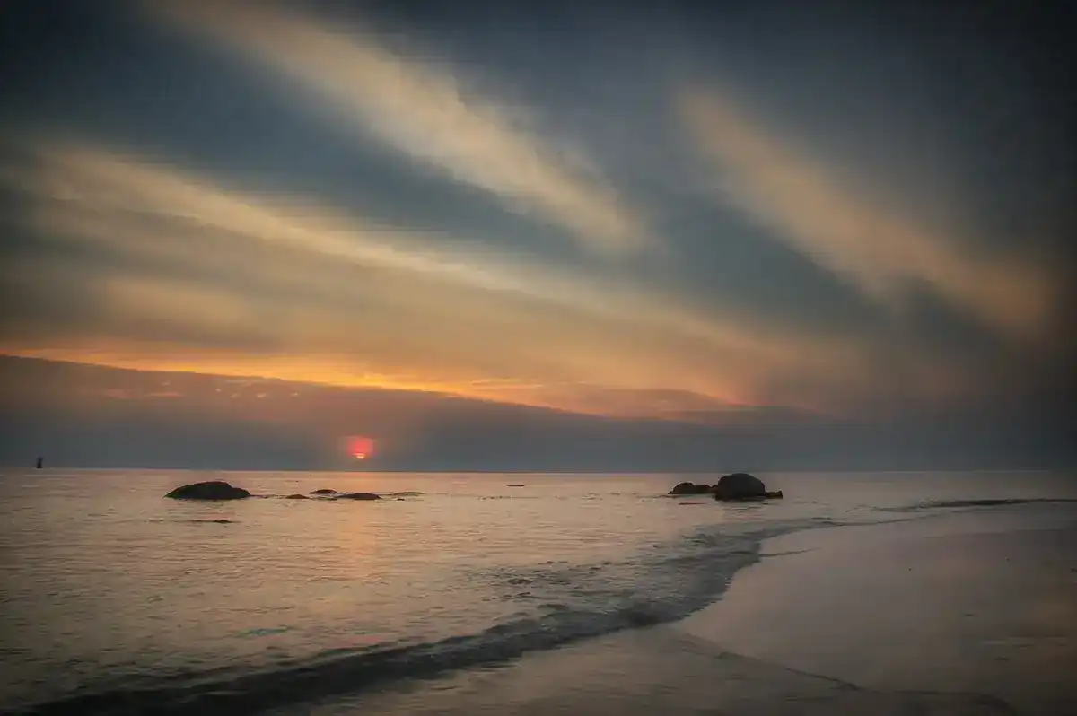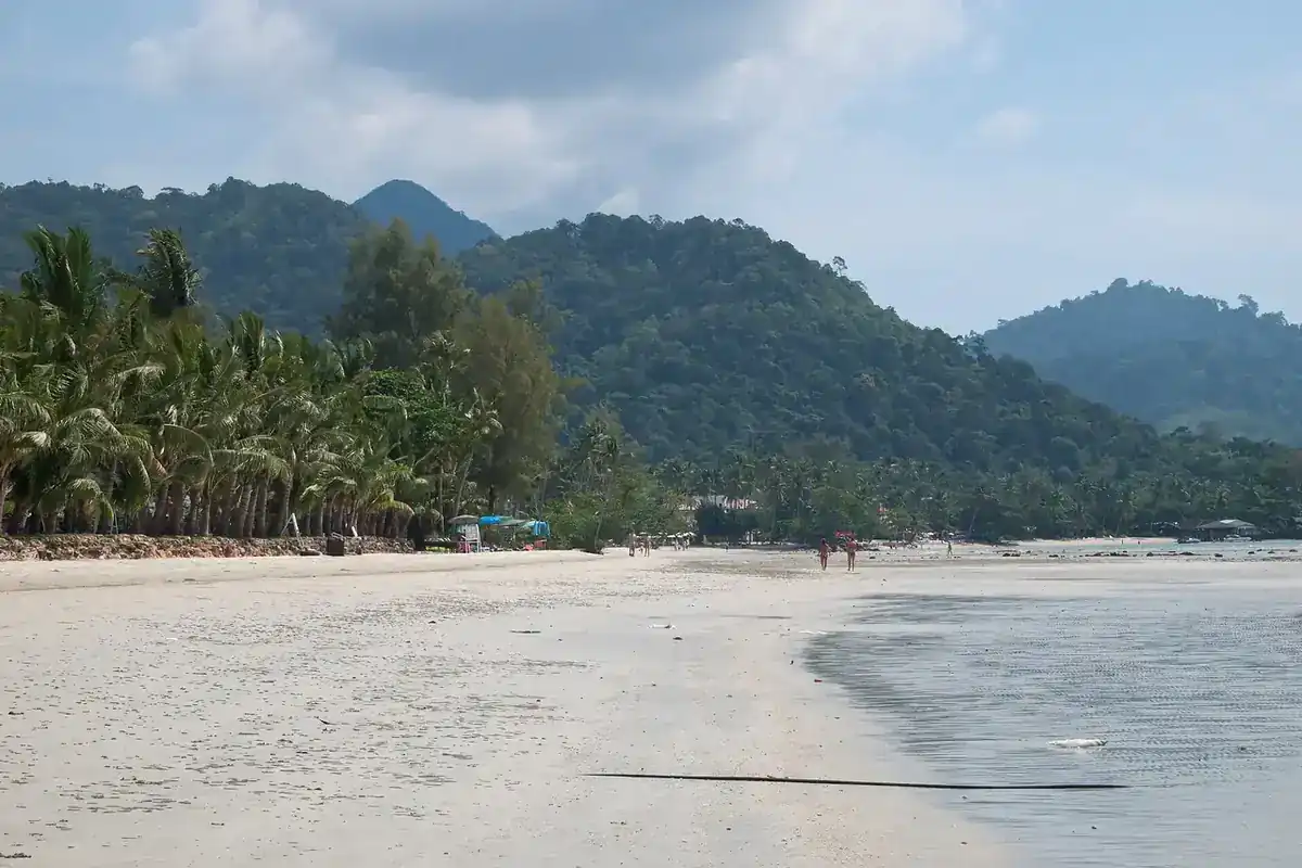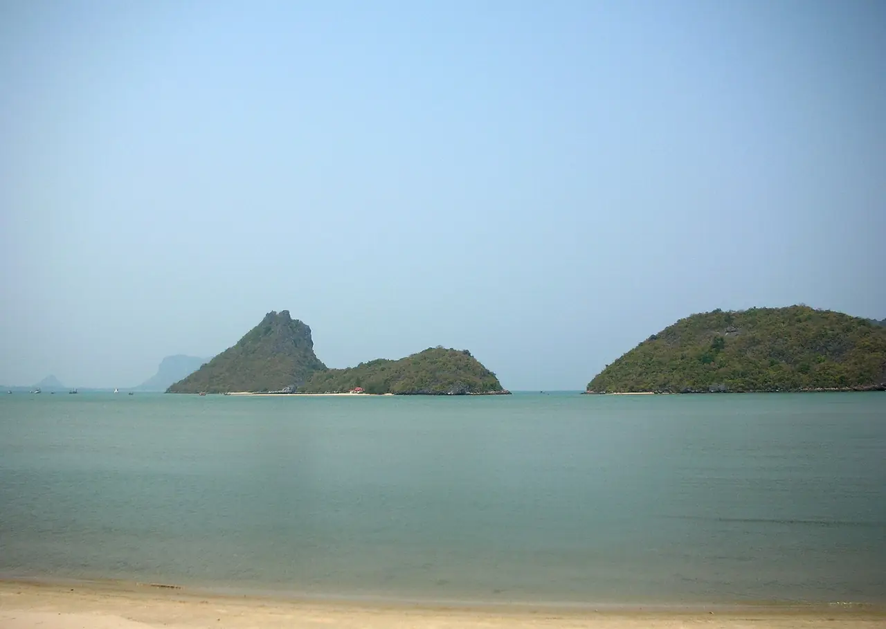
Prachuap Khiri Khan is the long, thin Gulf coast province that most visitors know only by its northern town, Hua Hin. Wikipedia lists Hua Hin as one of its districts. The rest of the province runs south for roughly 200 kilometres, with limestone hills falling to the sea, a marsh, three bays at the provincial town, a quiet beach at Ban Krut and a national park where wild elephants come to water. This guide covers that part, the coast south of the Hua Hin resort strip. For Hua Hin itself, read our Hua Hin guide.
Everything below was checked on 16 October 2026 against the sources listed at the end, and we say where a source is old or unofficial. For hotels, read where to stay in Prachuap Khiri Khan or the Thai version, ที่พักประจวบคีรีขันธ์.
What the province is like
Wikipedia puts Prachuap Khiri Khan about 240 kilometres south of Bangkok, with Phetchaburi to the north and Chumphon to the south, and Myanmar's Tanintharyi Region to the west. The province covers about 6,367 square kilometres and sits on the Kra Isthmus. Wikipedia says it has one of the narrowest parts of Thailand, just 11 kilometres from the Gulf of Thailand to the Myanmar border, and that the land rises quickly from the coast into the Tenasserim Hills. That is why a single day can include a beach, a limestone hill and a forest park.
The provincial town is nicknamed the city of three bays. Wikipedia names them as Ao Noi, Ao Prachuap and Ao Manao, and says all three lie in the Mueang Prachuap Khiri Khan district. The province is also farming country: Wikipedia says coconuts are a major crop and that as much as 40 percent of farmers grow only coconuts, and the Pran Buri district article says the region's first pineapple processing plant opened in Pran Buri in 1962.
The history is more specific than a beach town suggests. Wikipedia says King Mongkut invited foreign guests to watch a solar eclipse he had predicted for 18 August 1868 from a point in the marshes near Sam Roi Yot. It also says Japanese troops struck near Prachuap Khiri Khan town on 8 December 1941 and that the defenders resisted for a day before being ordered to surrender.
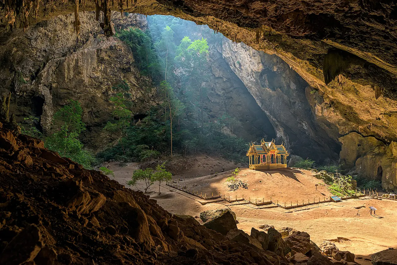
Phraya Nakhon Cave and Khao Sam Roi Yot National Park
This is the most famous stop in the province. Wikipedia says Khao Sam Roi Yot National Park covers about 98 square kilometres, was established in 1966 and was the first coastal national park of Thailand, and that it includes Thailand's largest freshwater marsh. The park is in Kui Buri district and about 58 kilometres south of Hua Hin. The name is uncertain: Wikipedia says local lore reads it as the mountain with 300 peaks, or as a reference to 300 survivors of a sinking Chinese junk.
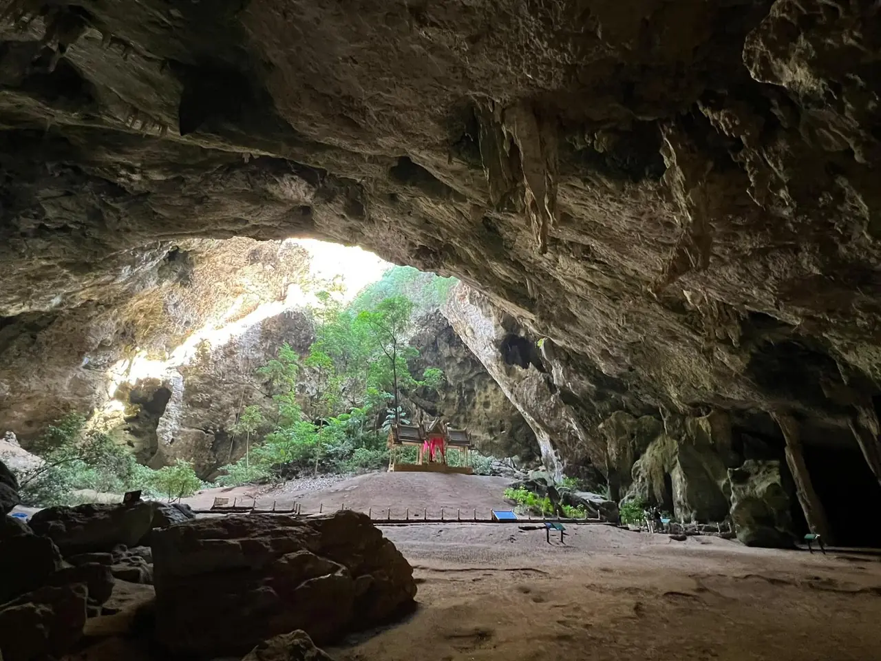
Phraya Nakhon Cave is the headline. Wikipedia describes a large cave with a hole in the ceiling that lets sunlight in, and the Khuha Karuhas Pavilion beneath it, built for King Chulalongkorn's visit in 1890 and now the symbol of the province. Wikipedia says sunlight shines directly on the pavilion at certain times in certain months. Wikipedia describes a climb of about 430 metres up the mountain after you reach Laem Sala Beach, either by boat or by walking across the hill. Wikivoyage adds that the boat (400 baht return, per its August 2025 update) bypasses a hill but still leaves about 100 metres of climb in 500 metres, that boats are seasonal, and that you should check with the park whether they are running. Wikivoyage lists the cave as open 08:00 to 15:30. We could not confirm hours, fees or boat times from an official source, so check before you go.
Wikivoyage lists more stops inside the park: the Bueng Bua water-lily trail around a large freshwater swamp, the Kissing Mountain Cave reached by boat (400 baht for a four-person boat, with queues for photos), Khao Daeng Viewpoint for a short steep climb, Kaeo Cave, Sai Cave and a boat ride through the Khao Daeng canal. Wikipedia names the two white beaches, Hat Laem Sala and Hat Sam Phraya, and the birdlife: the common kingfisher, the little egret and the Javan pond-heron among them. Wikivoyage lists the entry fee as 200 baht for a foreign adult and 100 baht for a foreign child, with extra charges for vehicles (2025 figures). Treat those numbers as a guide, not a quote.
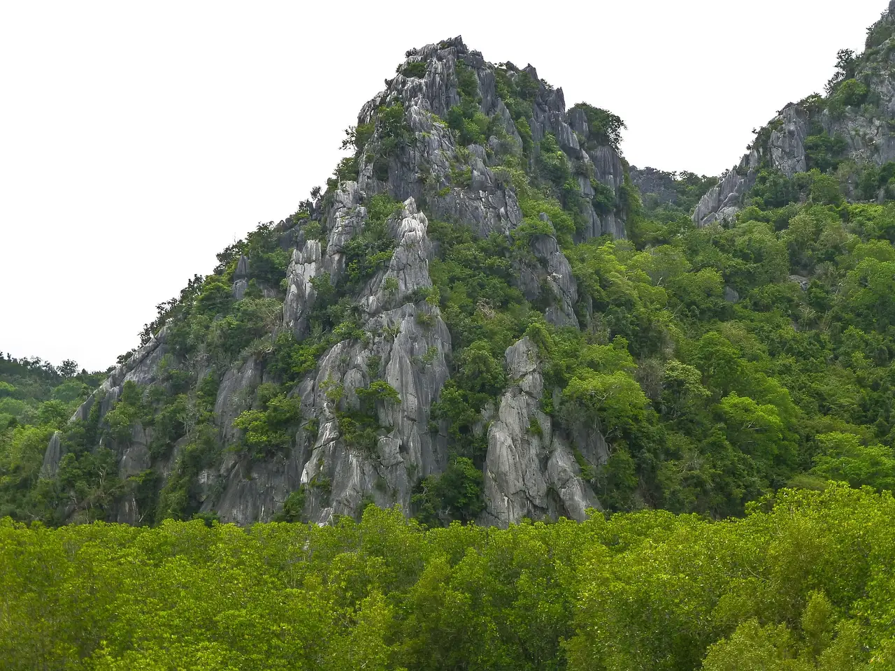
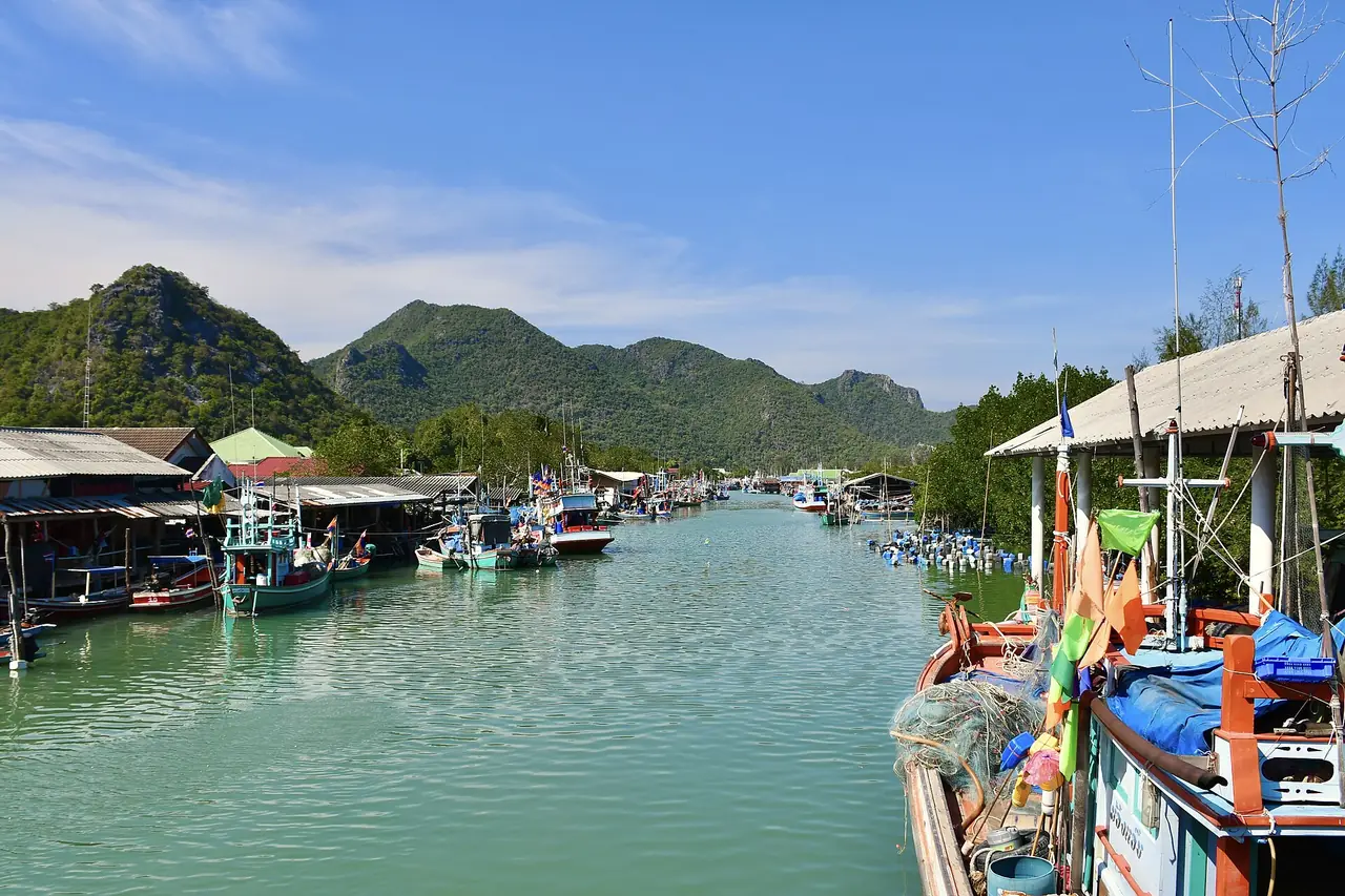
Prachuap Khiri Khan town and its bays
The town is small, which is its appeal. Wikivoyage says it has about 27,000 residents (2012) and calls it more of a holiday destination for Thais than for foreigners, and says the town itself is small enough to get around on foot, with motorbike taxis and tuk-tuks for the beaches. The bay promenade, the pier and the night market on Kong Kiat Road are the centre of an evening.
Khao Chong Krachok is the town's hill. Wikivoyage describes a small mountain where stump-tailed macaques live, with 396 steps to the summit, a height of 245 metres, and a temple on top with a replica of the Buddha's footprint. Wat Thammikaram at its foot is known as the monkey temple on Wikivoyage, with views of the bay. Take water, and keep food out of sight where macaques live.
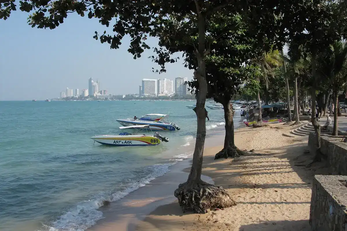
Ao Manao is the swimming beach. Wikivoyage says it lies several kilometres south of town on an air force base, so you pass guard posts at either end, and describes a clean beach suitable for swimming with a long sand bar at ebb tide. Wikivoyage also lists the Khao Lom Muak trail inside the base, open only on long weekends and in the early morning, at 40 baht per person (August 2024 update). Because this is a military site, treat those rules as unverified and check locally. Wikivoyage says Ao Manao was a World War II battlefield between Thai and Japanese forces on 8 December 1941, and lists a commemoration fair there from 7 to 10 December.
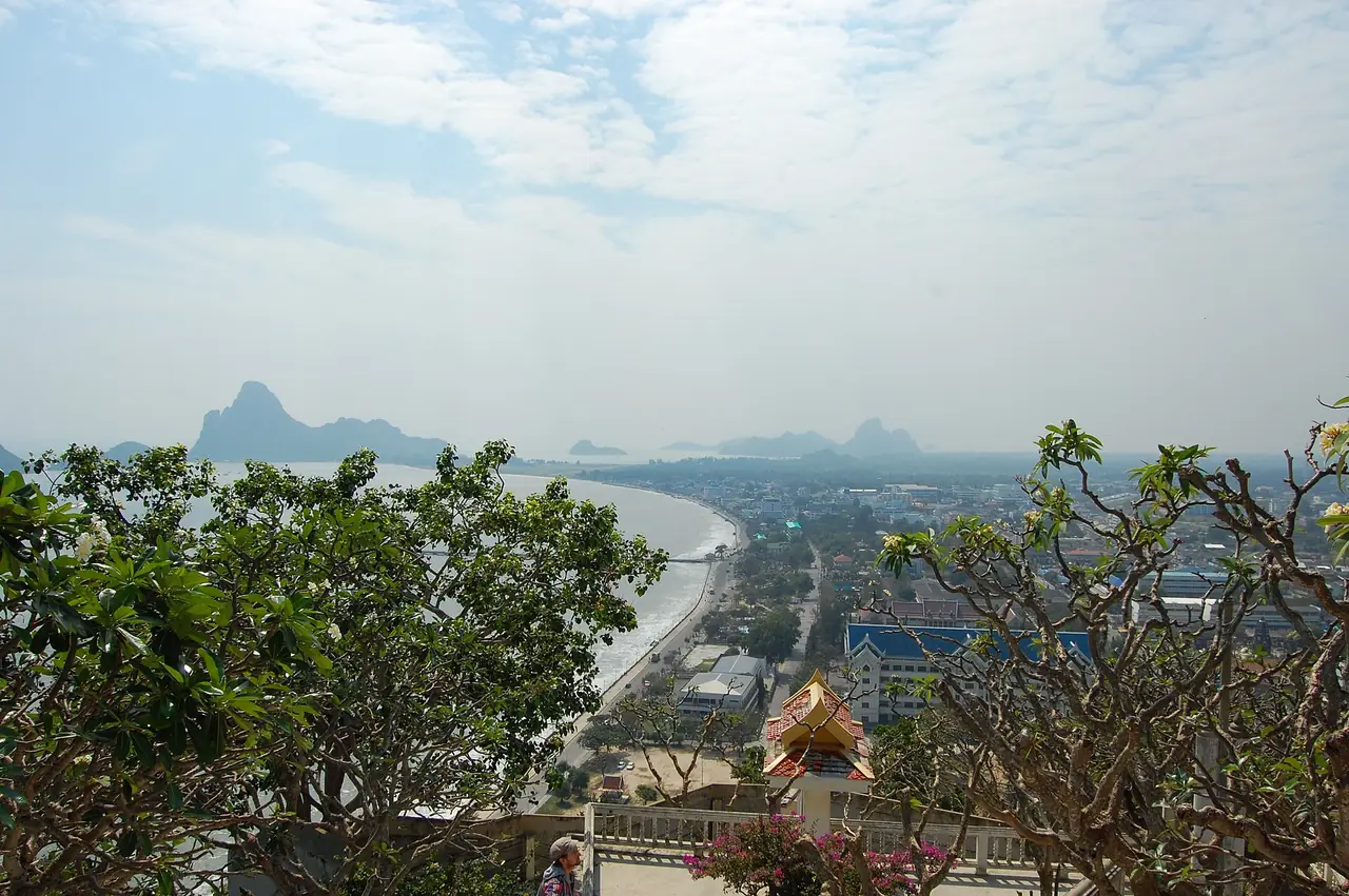
Pranburi and Pak Nam Pran
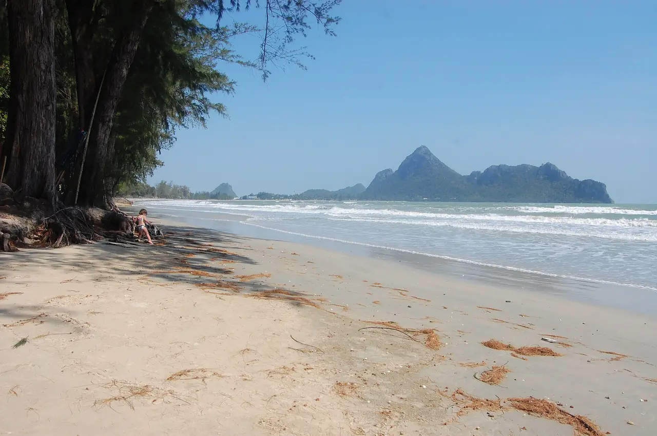
North of Sam Roi Yot, Pran Buri is where a river meets the sea. Wikipedia divides the tourist side of Pranburi into three neighbourhoods: the fishing village of Pak Nam Pran with a long beachfront to the south, the historic riverside area with traditional wooden homes and a weekend market it calls 200 years old, and the commercial strip along Phet Kasem Road. It says the area is popular for cycling, cave exploring, trail running and kiteboarding, and that the mangrove at the river mouth is protected as Pran Buri Forest Park. Wikivoyage lists the forest park as free, open 08:30 to 17:00 (August 2025 update), with a pine-lined beach.
Pranburi suits people who want the sea without the Hua Hin strip. Several resorts here are small and designed for couples, and they are not walkable to a town centre, so plan on having a car or a transfer. Our where-to-stay page compares three of them.
Kui Buri National Park and the southern coast
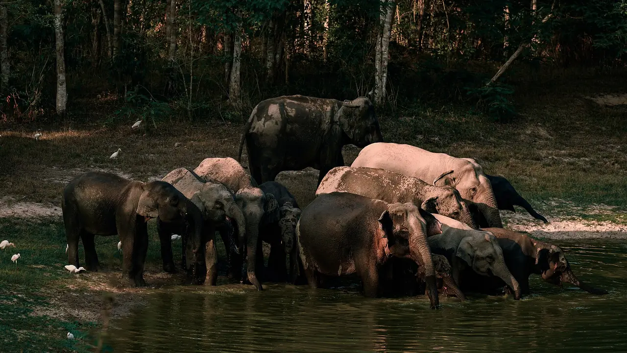
Kui Buri National Park is the elephant stop. Wikipedia says it was established in March 1999 as the 90th national park, covers about 969 square kilometres and lists Asian elephants and gaur among its animals. Wikivoyage describes a wildlife safari from 14:00 to 18:00 starting at the Huay Leuk ranger station, with a mandatory park vehicle and guide at about 850 baht per vehicle (2025 figures), and says the highest chance of seeing elephants and gaur is after 15:30. It says the park claims a 95 percent success rate, which is the park's claim as repeated on Wikivoyage, not a guarantee. Wikivoyage says the best time is the cool dry season from December to February, when water sources are fewer and animals gather at them, and that wild elephants and gaur can be dangerous at close range, so follow your guide's instructions. Wikivoyage also notes there are no restaurants in the park, so bring your own food.
South of the town, Hat Wanakon National Park is a long, quiet beach. Wikipedia says it lies on Phet Kasem Road about 23 kilometres from Prachuap Khiri Khan town towards Thap Sakae, and that the twin islands of Ko Chan and Ko Tai-si, about seven kilometres offshore, are surrounded by the most abundant coral reef in the Gulf of Thailand. Wikivoyage describes a 7-kilometre beach lined with horsetail trees.
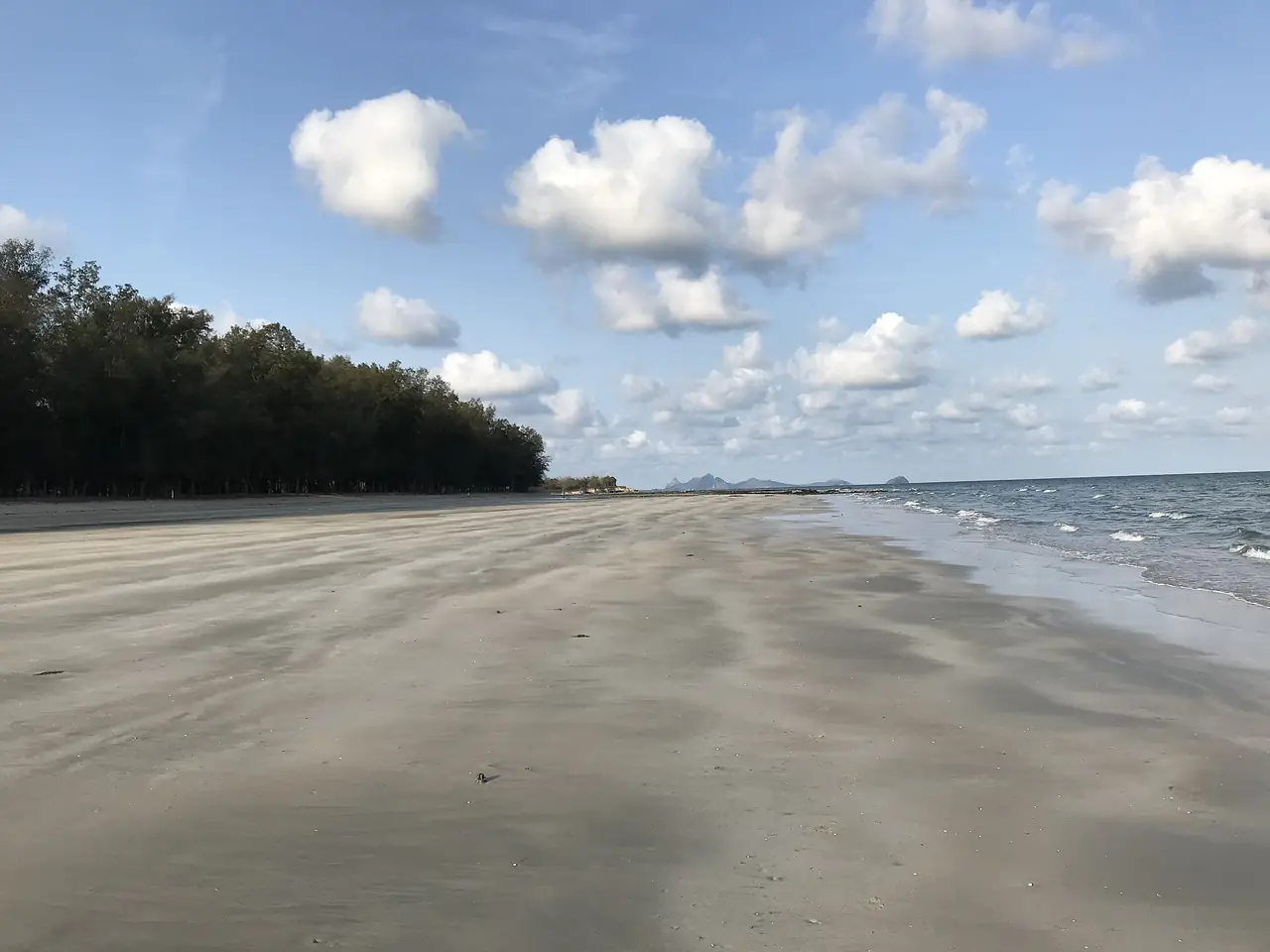
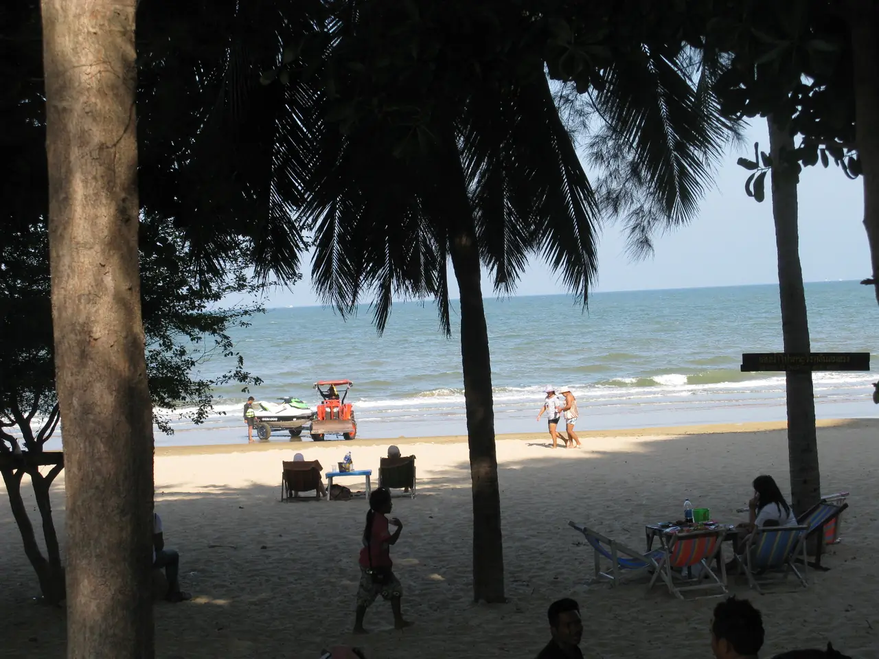
Further south, Ban Krut is the quiet beach village. Wikivoyage describes a beach road running along a 12-kilometre beach shaded by coconut and casuarina trees, a fishing community along it and no nightlife to speak of, with Wat Thang Sai above the northern beaches. Wikivoyage says you can reach it by train to Ban Krut station and then a motorbike taxi. Wikipedia also records gold panning in Klong Thong in Bang Saphan district and a rattan-weaving village at Ban Huai Kriab.
Getting to Prachuap Khiri Khan
Wikipedia says the railway through the province is on the southern route from Bangkok and names five major stations: Hua Hin, Pran Buri, Prachuap Khiri Khan, Bang Saphan Yai and Bang Saphan Noi. Prachuap is on Highway 4, Phet Kasem Road. Wikivoyage describes two driving routes of about 280 and 320 kilometres, taking roughly 3.5 to 4 hours to Prachuap town, and a bus from the Southern Bus Terminal taking about five hours at 240 baht (August 2024 update). That bus fare is a dated figure from Wikivoyage, not a current quote.
| From | By | What the source says |
|---|---|---|
| Bangkok, driving | Highway 4 (Phet Kasem Road) | Wikivoyage gives two routes of about 280 km (3.5 hours) and 320 km (4 hours) to Prachuap town |
| Bangkok, bus | Southern Bus Terminal | Wikivoyage lists about 5 hours and 240 baht to Prachuap town (August 2024 update) |
| Bangkok, train | State Railway of Thailand on the southern line | Wikipedia lists Pran Buri, Prachuap Khiri Khan, Bang Saphan Yai and Bang Saphan Noi among five major stations; check times with the railway |
| Hua Hin to the park | Road | Wikipedia says Khao Sam Roi Yot National Park is about 58 km south of Hua Hin; Wikivoyage says there is no public transport inside the park |
Booking transport
When we opened the Bangkok to Prachuap Khiri Khan page on 12Go in a browser on 16 October 2026, searching for Sunday 18 October for 2 travellers, the page showed 63 trips from THB 217 to THB 8,750. By type it listed trains (9 trips, from THB 217), vans (5, from THB 249), buses (7, from THB 322) and taxis (42, from THB 3,162). One bus listing ran from the Southern Terminal in Bangkok to the Prachuap Khiri Khan bus terminal with Bang Saphan as the operator, one train listing was Thai Railway train 171 at 15:10 in third-class fan seating arriving 20:03, and one van listing went to Pranburi Van Station. Some taxi listings gave Khao Sam Roi Yot park or Kui Buri as the arrival point. These are what the page showed that day, not guarantees, and arrival points differ by trip, so check the drop-off point and the operator before you book.
When to go
Wikivoyage describes Khao Sam Roi Yot as having three seasons: hot from March to May with temperatures that can pass 35 degrees Celsius, wet from June to September, and cool from October to February, and says the cool season is the best time to visit. Wikipedia gives winter temperatures of 18 to 25 degrees Celsius and summer temperatures of 23 to 32 degrees Celsius, which is its figure for the park. Wikivoyage says migratory birds are found in the park between November and February. Kui Buri is described as muddy in the rainy season, with the dry season best for animals. For forecasts, use the Thai Meteorological Department.
Where to stay
Our hotel guide compares four areas and 8 hotels checked on their own sites:
- Sam Roi Yot: beachfront resorts beside the national park. La Isla says it is 1.9 km from Phraya Nakhon Cave.
- Prachuap Khiri Khan town: a city-centre hotel on the bay, with the night market and the monkey hill close by.
- Pranburi and Pak Nam Pran: quiet beach resorts, from a boutique villa resort to a 14-room beachfront hotel.
- Ban Krut and Rumra Beach: a pool-villa resort on a long, quiet beach south of the town.
Open where to stay in Prachuap Khiri Khan for the area comparison table and the hotel cards.
Nearby destinations
- Hua Hin: the resort district at the north end of the province, with its own guide and hotels
- Chumphon: the next province south, gateway to the islands
- Bangkok: where most trips begin
- Thailand overview
- Getting around Thailand
FAQ
How far is Prachuap Khiri Khan from Bangkok?
Wikipedia puts the province about 240 kilometres south of Bangkok. Wikivoyage gives driving routes of about 280 and 320 kilometres to Prachuap town, 3.5 to 4 hours, and a bus of about five hours (August 2024 update).
Is Hua Hin in Prachuap Khiri Khan?
Yes. Wikipedia lists Hua Hin as a district of the province and its best-known beach resort. This guide covers the coast south of Hua Hin, and our Hua Hin guide covers the resort town.
How do I get to Phraya Nakhon Cave?
Wikipedia says you reach the cave from Laem Sala Beach, by boat or by walking across the hill, then climbing about 430 metres up the mountain. Wikivoyage says the boat from Bang Pu is seasonal and costs 400 baht return (August 2025 update), so ask the park or your hotel whether boats are running. We could not confirm opening hours or fees from an official source.
Can I see wild elephants at Kui Buri?
Wikivoyage describes a safari from 14:00 to 18:00 with a mandatory park vehicle and guide, at about 850 baht per vehicle (2025 figures), with the best chances after 15:30 and in the dry season from December to February. Elephants are wild and can be dangerous at close range, so follow the guide's instructions.
Which part of Prachuap Khiri Khan is best for a beach?
It depends on what you want. Ao Manao is a swimming beach near the town, according to Wikivoyage. Pranburi and Pak Nam Pran have beachfront resorts, Sam Roi Yot has a long beach beside the national park, and Ban Krut has a 12-kilometre beach shaded by coconut and casuarina trees. Wikivoyage notes the water at Laem Sala is not as clear as at Hua Hin or in the south, because of the sand.
Do I need a car?
Mostly yes for the coast. Wikivoyage says there is no public transport in the Khao Sam Roi Yot area, though some hotels can help with transport, and the 12Go page showed trains, vans, buses and taxis on the main Bangkok route. Prachuap town itself is small enough to walk, with motorbike taxis and tuk-tuks for the beaches.
Is the Khao Chong Krachok climb worth it?
Wikivoyage describes 396 steps to the summit with views of the bay and a temple with a replica of the Buddha's footprint, and says macaques live on the hill. Go early, bring water and keep food out of sight.
Where should I stay?
For the cave, stay at Sam Roi Yot. For the bay and the night market on foot, stay in Prachuap town. For a quiet beach near Hua Hin, choose Pranburi. For a long empty beach, go to Ban Krut. Our hotel guide lists 8 hotels checked on their own sites.
Official sources and further reading
- Prachuap Khiri Khan province (Wikipedia)
- Prachuap Khiri Khan (Wikivoyage)
- Khao Sam Roi Yot National Park (Wikipedia)
- Khao Sam Roi Yot National Park (Wikivoyage)
- Phraya Nakhon Cave (Wikipedia)
- Kui Buri National Park (Wikipedia)
- Kui Buri National Park (Wikivoyage)
- Hat Wanakon National Park (Wikipedia)
- Pran Buri district (Wikipedia)
- Ban Krut (Wikivoyage)
- 12Go: Bangkok to Prachuap Khiri Khan
- Prachuap Grand Hotel
- La Isla Pranburi Beach Resort
- Sunshine Paradise Resort
- Thai Meteorological Department
Prices, schedules and entry rules change. Figures here are approximate as of 2026; always confirm on the official or operator page before you book. Spotted something out of date? Tell us.