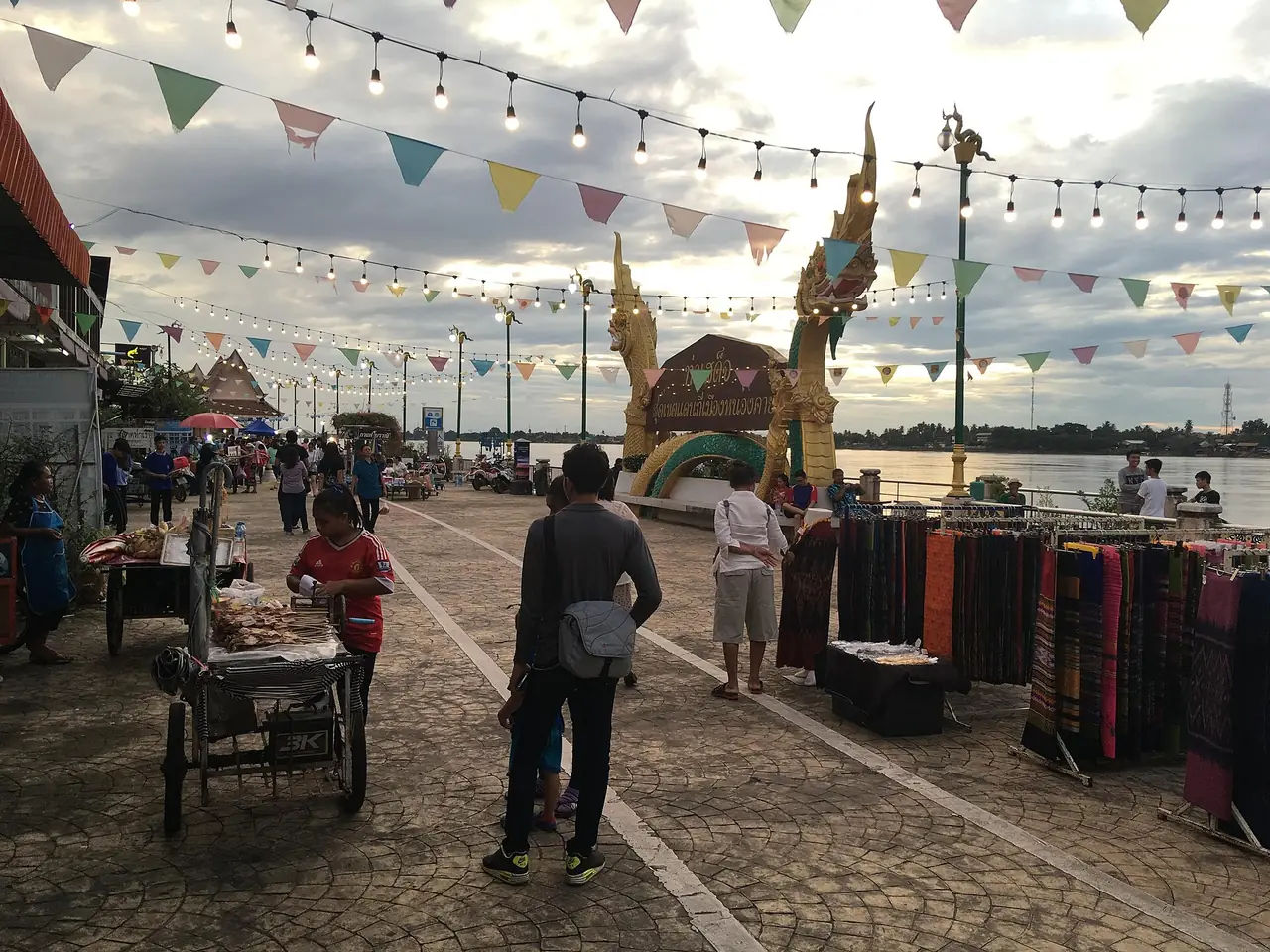
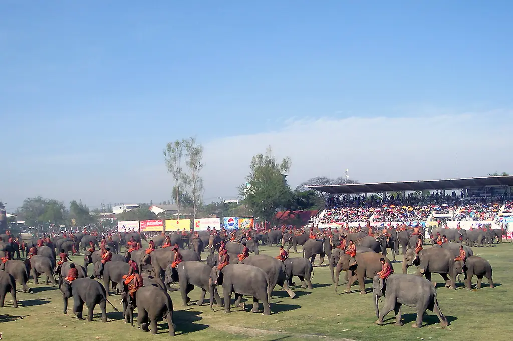
Chaiyaphum is a central Isaan province that few foreign visitors know, yet Thai travellers know it well as the home of the Siam tulip. Wikipedia says the Phetchabun mountain range bisects the province, with the highest point at 1,222 m, while the east belongs to the Khorat Plateau. Forest covers about 3,982 square kilometres, or 31.4 percent of the province, and there are six national parks. In practice that means meadows, rock formations and waterfalls inside one province.
This guide uses only what we checked against the sources listed at the bottom on 16 October 2026. Where we could not confirm something, such as park fees, opening hours or this year's flower status, we say so and ask you to check with the park. The Tourism Authority of Thailand site refused automated requests on the day we checked, so it is not used as a source here.
What kind of province is Chaiyaphum
The name comes from Sanskrit; Wikipedia translates it as land of victory. Most people are ethnically Lao and speak Lao as a first language, and Nyah Kur, thought to be an offshoot of Old Mon, is spoken in about twenty-five villages across Khorat, Phetchabun and Chaiyaphum. The statue of Chao Pho Phraya Lae is the provincial symbol. Wikipedia says Lae led a group of Lao settlers here in 1817 and was killed defending the city against King Anouvong's army.
The history goes deeper than the town suggests. Thai Wikipedia mentions Dvaravati-era evidence such as the Ban Kut Ngong boundary stone, and Khmer sanctuaries including Prang Ku in Mueang district. Wikivoyage describes a small, friendly city that is not a tourist destination, where little English is spoken or written on menus. A translation app or a few Thai phrases will help.
Pa Hin Ngam National Park
Pa Hin Ngam is in Thep Sathit district in the southwest. Thai Wikipedia gives an area of about 99.9 square kilometres and says it was declared a national park on 6 June 2007. English Wikipedia says the park was created on 19 September 1994 and gazetted in 2007. The two pages count differently, so check the Department of National Parks if you need an exact date.
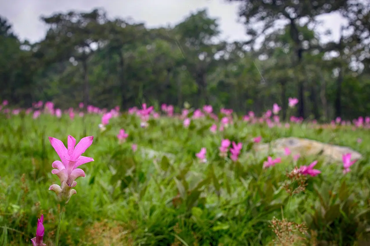
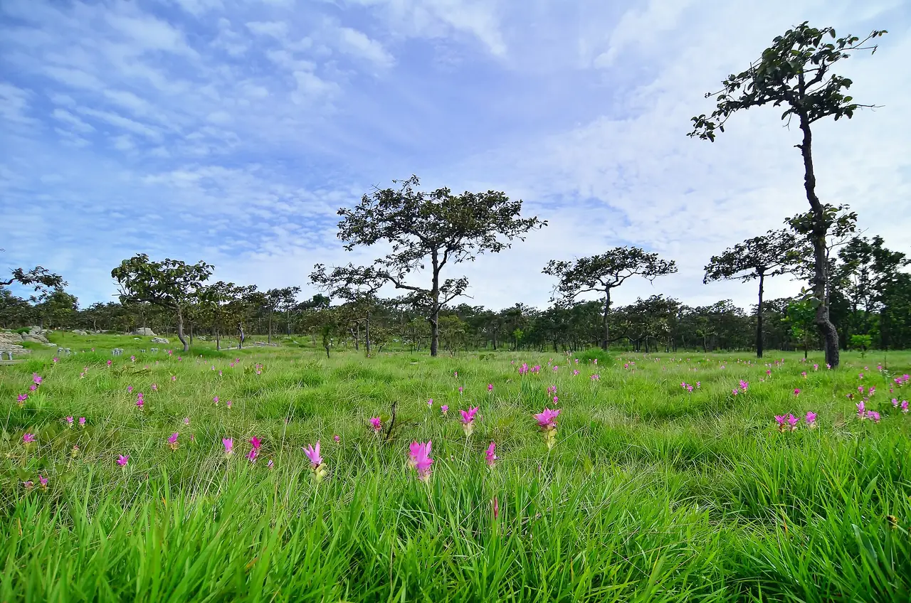
There are two main draws. The first is the stone field, sandstone eroded into odd shapes that visitors compare to nails, a radar dish or a hen, according to English Wikipedia. The second is the Siam tulip, called krachiao or pathumma. Thai Wikipedia says there are three fields, that you walk on raised boardwalks and may not step on the ground, and that one small photo area in field one is the only place where you may enter the meadow.
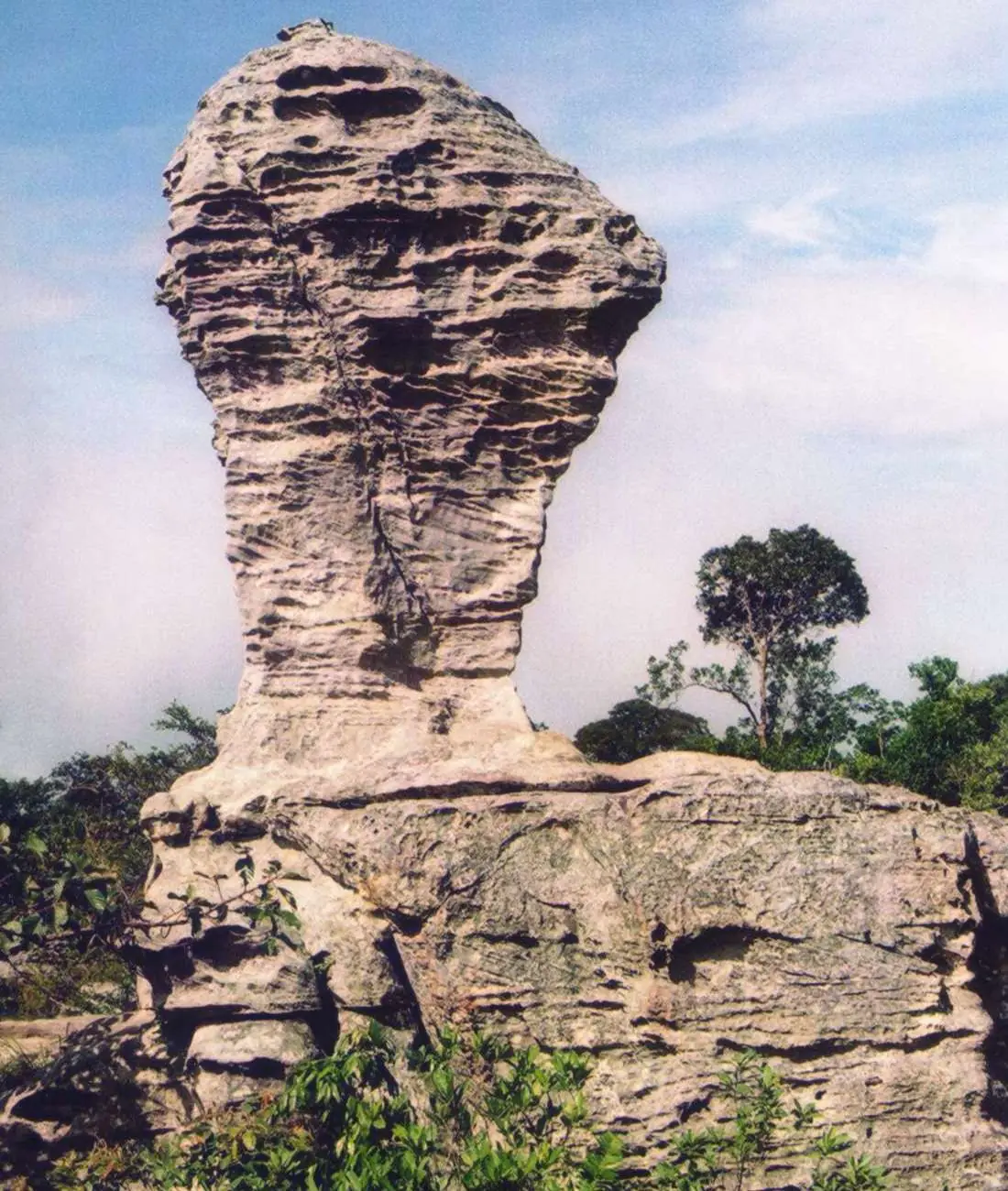
The Sut Phaendin viewpoint, whose name means end of land, is the highest point of the Phang Hoei range. Thai Wikipedia gives 866 m and English Wikipedia gives 846 m. We show both because we could not open an official figure today. Both pages agree that you look down onto the Sap Langka Wildlife Sanctuary in Lopburi, and English Wikipedia adds that the cliff is the watershed between the Chao Phraya and Mekong rivers. The three-tier Thep Phana waterfall flows only in the rainy season, Wikipedia says.
Sai Thong National Park
Sai Thong lies about 70 km west of Chaiyaphum town, across the districts of Nong Bua Rawe, Thep Sathit, Phakdi Chumphon and Nong Bua Daeng. It covers about 319 square kilometres, and its highest point, Khao Phang Hoei, is 1,008 m. Wikivoyage lists the Sai Thong and Chuan Chom waterfalls, the Pha Ham Hot viewpoint, Thung Bua Sawan (the tulip field, late June to mid-August) and Kaeo Cave.
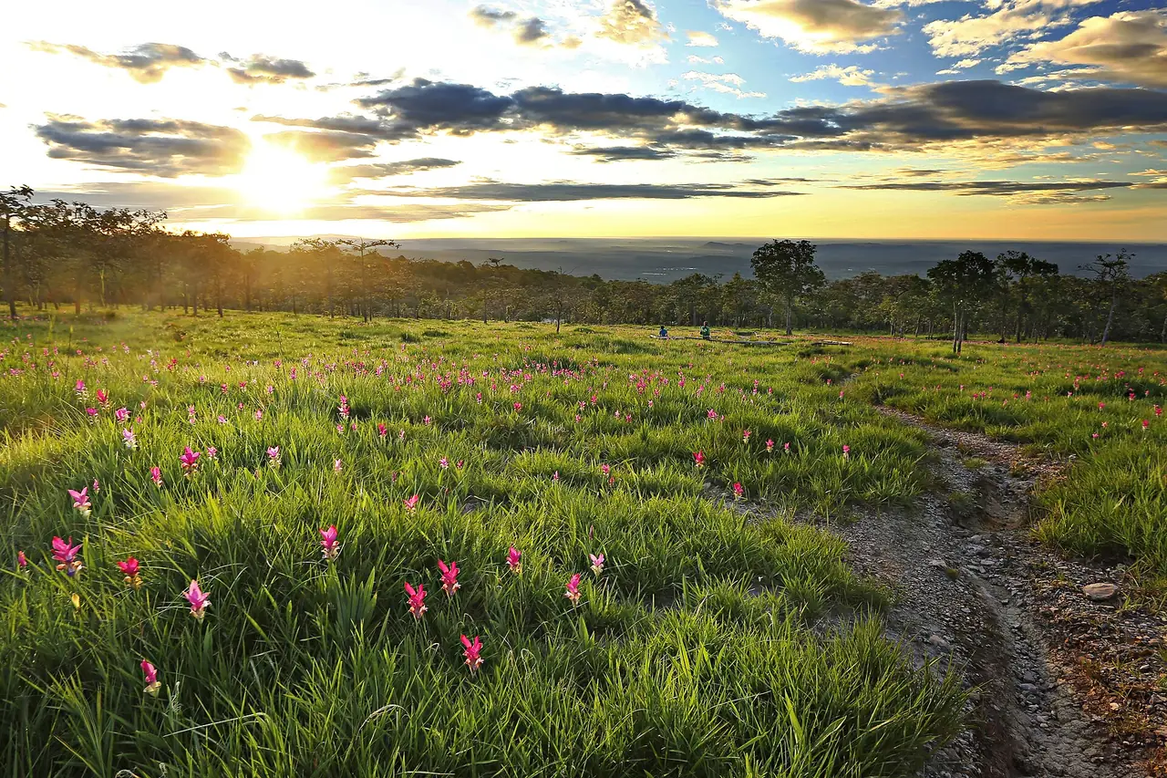
Wikivoyage says the Sai Thong waterfall is about 80 m wide and strongest in the rainy season, which overlaps with the flowers, so a July trip can combine both. That information is old and we could not open the park's own page today, so we cannot confirm current trails or entry points.
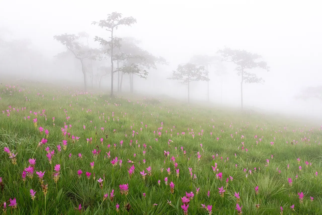
Phu Laen Kha and Mo Hin Khao
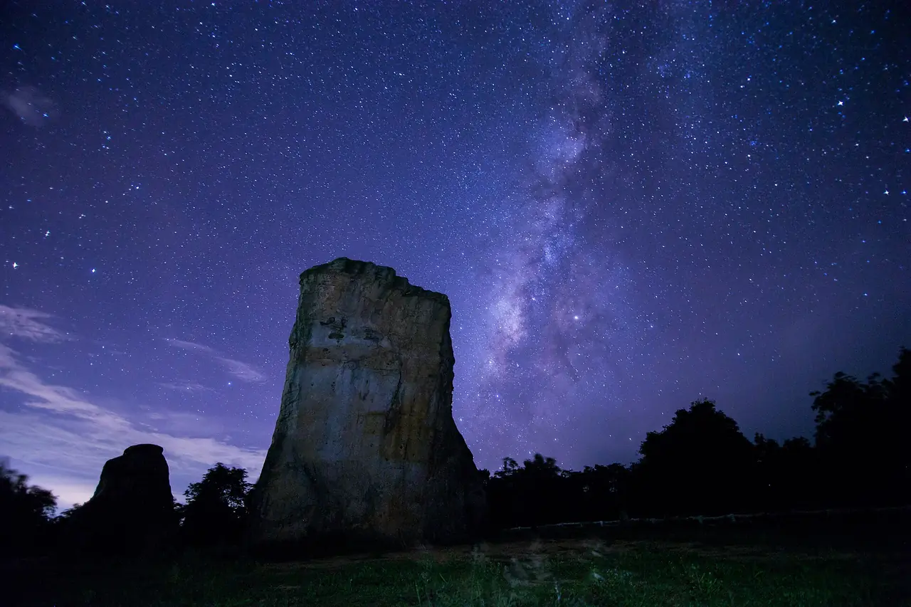
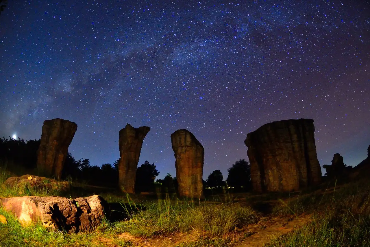
Phu Laen Kha is Thailand's 180th national park, about 200.5 square kilometres across Kaset Sombun, Nong Bua Daeng, Mueang Chaiyaphum and Ban Khwao districts. People come for Mo Hin Khao, a group of large upright rocks on a meadow. Wikipedia says it is known as the Stonehenge of Thailand and was a location in a 2009 TAT campaign.
Pha Hua Nak is a cliff viewpoint about 4 km from Mo Hin Khao, around 905 m above sea level, from which Wikipedia says you can see Chaiyaphum below, with cool temperatures all day. The park also has Pha Kluai Mai, Hin Prasat and Pratu Khlong, a rock shaped like an arch.
Tat Ton and the waterfalls
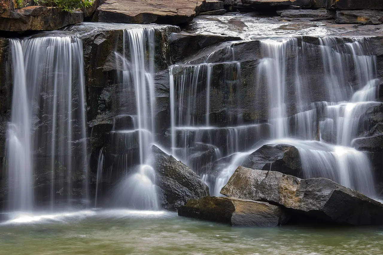
Tat Ton National Park is 23 km north of the town, which makes it the easiest park to reach from the centre. Wikipedia says it became Thailand's 23rd national park on 31 December 1980 and covers about 217 square kilometres. The Tat Ton waterfall is about 6 m high but widens to 50 m in the rainy months of May to October. The page also names the Tat Fa, Pha Lang and Pha Song Chan waterfalls.
For a full flow, go in the rainy season. For easy walking, pick a day without heavy rain, as wet rock is slippery.
Phu Khiao and Chulabhorn Dam
If you have spare time, Wikipedia says Phu Khiao Wildlife Sanctuary spans Khon San, Kaset Sombun and Nong Bua Daeng districts and includes Thung Kamang, a grassland at about 900 m known as a breeding ground for hog deer. Entry rules for a wildlife sanctuary differ from a national park, so confirm permission with the authorities. We could not confirm that it is open to general visitors.
Chulabhorn Dam is in Thung Lui Lai subdistrict, Khon San district. Wikipedia describes an earth-core rockfill dam 700 m long and 70 m high with a 31 square kilometre reservoir and a dam park of about 41 rai. It makes a stop for anyone passing that way.
Silk and khit cloth
Wikivoyage lists mudmee silk, cotton cloth, khit cloth, triangular pillows and basketry among local products. The 12Go article adds that you can watch silk weaving in Ban Khwao and that nearly every household in Non Salao makes khit. We did not check visiting hours or whether workshops take visitors, so ask your hotel or call ahead.
Festivals
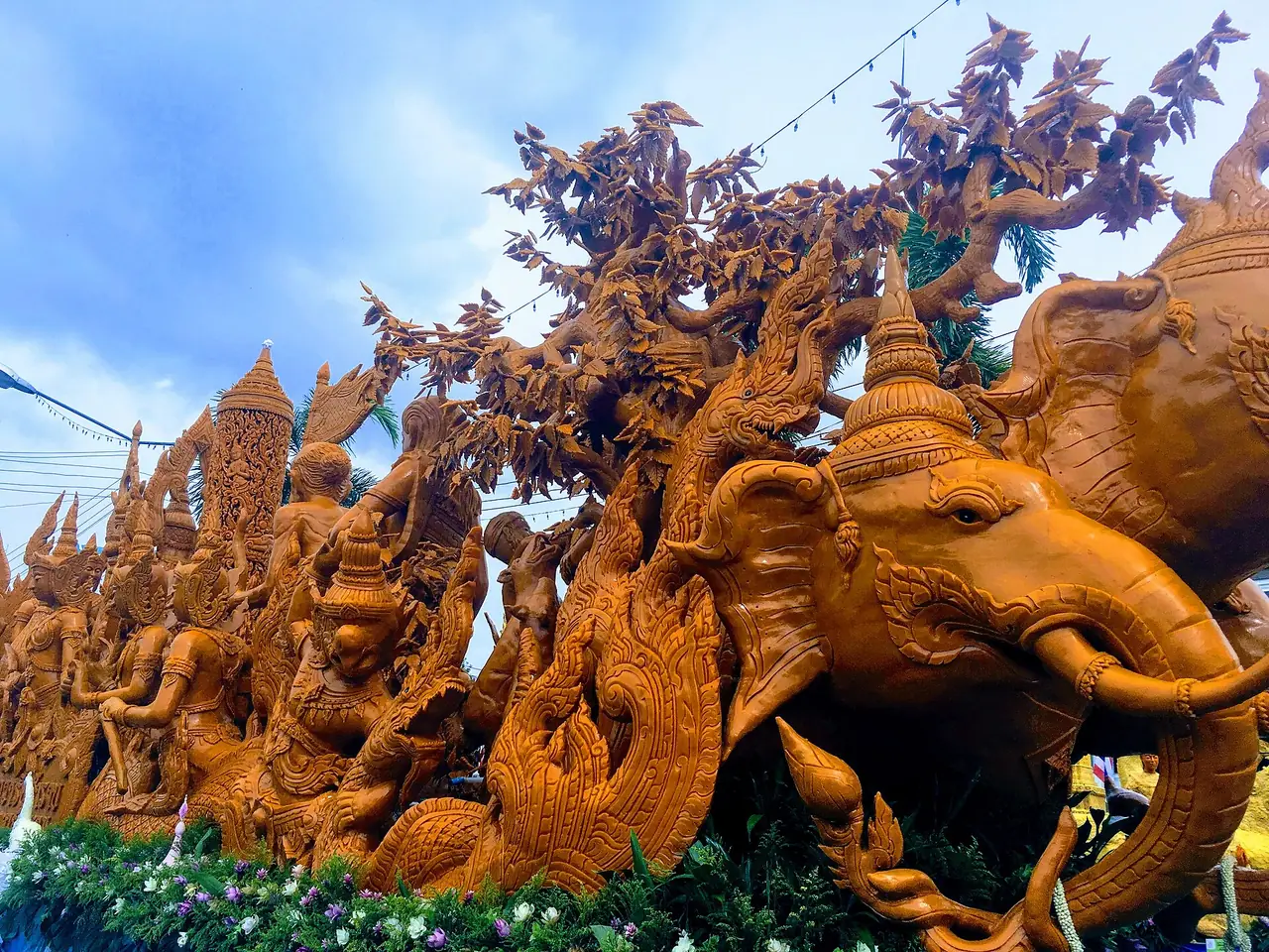
Wikivoyage lists three events in the town: the Chao Pho Phraya Lae monument festival on 12 to 20 January, the worship ceremony on the first Monday of May, and the Candle Festival on the full moon of the eighth lunar month, around July. This list is old, so check this year's dates with the province.
Getting to Chaiyaphum
Wikivoyage gives about 330 km from Bangkok by road, while the 12Go article says 350 km, depending on route. There is no airport in the province.
| From | By | What the sources say |
|---|---|---|
| Bangkok by car | Highway 1 to Saraburi, then Highways 2 and 201 | Wikivoyage gives about 330 km in total, with another route via Highways 21 and 205 |
| Bangkok by bus | Mo Chit terminal | 12Go lists Airchaiyaphum and Thian Chai, about 5 hours; Wikivoyage says about 5.5 hours |
| Bangkok by train | Alight at Bua Yai or Chatturat, then continue by bus | Wikivoyage and 12Go say another 50 to 60 km by road; no train reaches the town, so check the State Railway timetable |
| By air | Fly to Khon Kaen or Nakhon Ratchasima, then a bus | 12Go says there are no direct flights and the bus takes about 2.5 hours |
Booking your transport
When we opened the Bangkok to Chaiyaphum page on 12Go in a browser on 16 October 2026, searching Sunday 18 October for two travellers, it showed 51 trips from THB 384 to THB 11,347: 37 buses from THB 384 and 14 taxis from THB 4,594. The bus operators we saw were Airchaiyaphum (from Mo Chit, about 5 hours, 10 departures with the first at 07:00) and Thian Chai (from Mo Chit, 7 departures with the first at 07:30). Taxi listings included Glassflower, Thailand Limo by Datum, MCC VAN and Kim Transfers Thailand. The page showed no trains. Fares and counts change by day, so check the live page before you book.
Getting around without a car
The parks are far apart. Wikivoyage puts Sai Thong 70 km from town and 12Go says your own car is the best way to see them. We found no readable source for public transport into the parks today. Hiring a car or a local driver by the day is the likely option, which is our opinion and not a checked fact. In town, Wikivoyage says tuk-tuks wait at the bus station; agree the fare before you go.
When to go
The sources agree that the rainy season shows the province at its best. Thai Wikipedia gives June to August for the tulips, while 12Go recommends May to October and calls July the best month. Tat Ton has more water from May to October. Be aware that bloom weekends and holidays are busy, so rooms near the parks can fill and mountain roads can back up. Book ahead. We have no checked information on whether the meadows still have flowers outside the season, so do not travel only for the tulips at other times.
Where to stay in Chaiyaphum
We do not have a Chaiyaphum stay page yet because only three hotels passed our check against their own official sites, below the minimum we set. Here is area advice and the names we verified.
- Chaiyaphum town: best if you are visiting Tat Ton or Phu Laen Kha, or arriving by bus. HOP INN Chaiyaphum says it is in the city centre on Non Muang Road and lists Prang Ku and the Phraya Phakdi Chumphon Monument as nearby. NaCare Hotel says it is three minutes from the Robinson junction and that every room is non-smoking.
- Just outside town: The Peak Chaiyaphum says on its home page that it sits in natural surroundings 7 km from town, which suits drivers.
- Near Pa Hin Ngam and Sai Thong: small resorts around Thep Sathit appear on booking sites, but we found no official site we could read and verify, so we name none. Check the property's own site or phone first.
We have no verified, earning hotel link for Chaiyaphum. Check prices and availability on the hotel's own booking page.
Nearby destinations
- Khon Kaen: the large city to the north, about 150 km away according to Wikivoyage
- Phetchabun: the neighbouring province to the west and north, on the same mountain range
- Isaan overview and the Isaan travel guide
- Bangkok: where most trips start
- Thailand overview and getting around Thailand
FAQ
When is the best time to visit Chaiyaphum?
For the Siam tulip fields the sources say June to August, and 12Go calls July the best month. Tat Ton has the most water from May to October. Conditions change every year, so check with the park.
How far is Chaiyaphum from Bangkok?
About 330 km by road according to Wikivoyage and 350 km according to 12Go, depending on the route. The bus takes about 5 hours.
Can I get to Chaiyaphum by train?
No train reaches the town. The sources say to alight at Bua Yai or Chatturat and continue 50 to 60 km by road. The 12Go page did not list trains on the day we looked. Check the State Railway of Thailand timetable.
Is there an airport in Chaiyaphum?
12Go says there are no direct flights. You would fly to Khon Kaen or Nakhon Ratchasima and take a bus.
Do I need a car for the national parks?
Almost certainly. Sai Thong is about 70 km from town, Tat Ton 23 km, and Pa Hin Ngam lies to the southwest. We found no checked public transport into the parks.
What is the difference between Pa Hin Ngam and Sai Thong?
Both have Siam tulip fields. Pa Hin Ngam is known for sandstone shapes and boardwalks through the meadow, while Sai Thong has waterfalls and the Pha Ham Hot viewpoint. They sit on the same Phang Hoei ridge but are separate trips.
What is Mo Hin Khao?
A group of large upright rocks on a meadow in Phu Laen Kha National Park. Wikipedia says it is known as the Stonehenge of Thailand.
What hotels can I check in Chaiyaphum?
We verified three on their own sites: HOP INN Chaiyaphum, NaCare Hotel and The Peak Chaiyaphum. Book ahead if you plan to visit during the flower season.
Official sources and further reading
- Chaiyaphum province (Wikipedia)
- Chaiyaphum province (Thai Wikipedia)
- Chaiyaphum (Wikivoyage)
- Pa Hin Ngam National Park (Thai Wikipedia)
- Pa Hin Ngam National Park (Wikipedia)
- Sai Thong National Park (Wikipedia)
- Tat Ton National Park (Wikipedia)
- Phu Laen Kha National Park (Wikipedia)
- Phu Khiao Wildlife Sanctuary (Wikipedia)
- 12Go: Bangkok to Chaiyaphum
- HOP INN Chaiyaphum
- NaCare Hotel Chaiyaphum
- The Peak Chaiyaphum
Prices, schedules and entry rules change. Figures here are approximate as of 2026; always confirm on the official or operator page before you book. Spotted something out of date? Tell us.