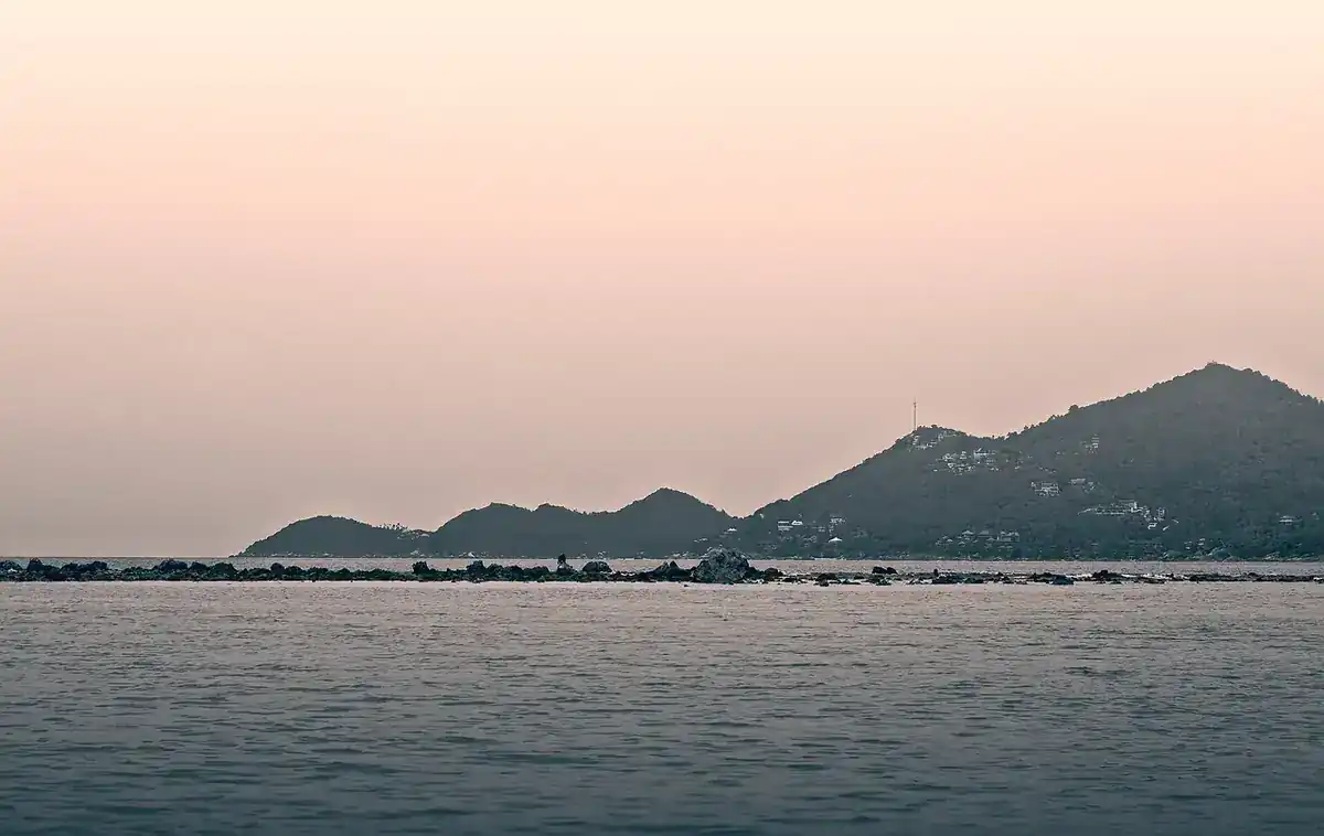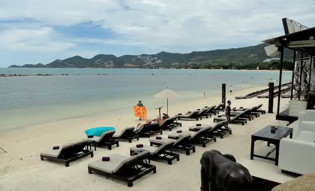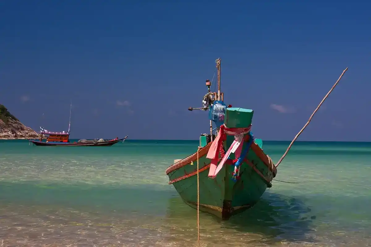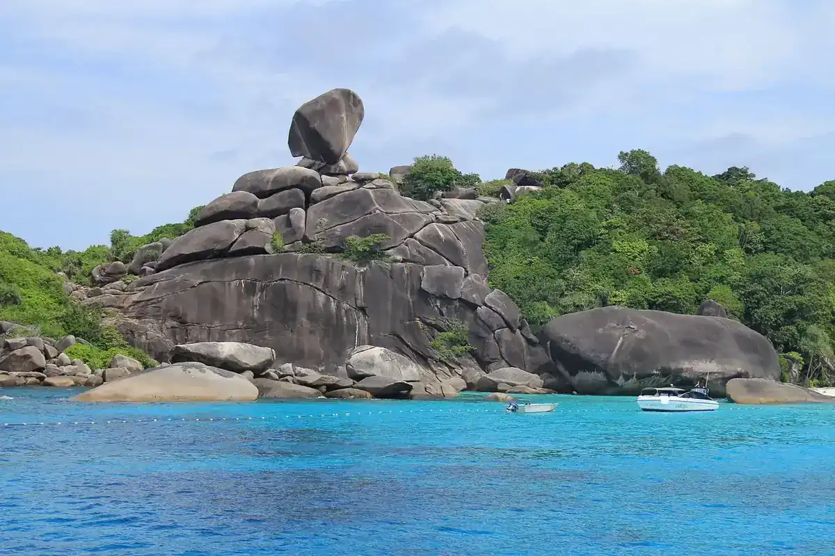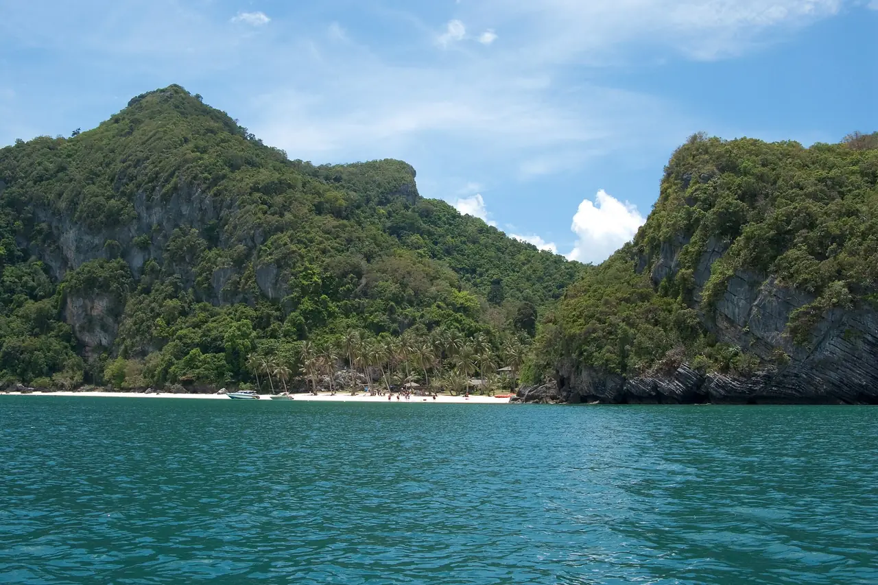
Mu Ko Ang Thong National Marine Park is an archipelago of about 40 limestone islands north-west of Koh Samui, in the Gulf of Thailand. The short answer for planning: the Tourism Authority of Thailand (TAT) says it is about 20 km from Samui and reached on one-day boat trips run by local agents from Samui or Koh Phangan, fees are 200 baht for a foreign adult at most islands and 300 baht at the main visitor islands (Wua Ta Lap and Mae Ko), and the star sights are the viewpoint on Ko Wua Ta Lap, the inland lagoon and the snorkelling islands. Choose between a speedboat day and a slower kayak-focused day, and check the sea season before you book.
Fees, distances and island names come from the TAT listing and the national parks authority's fee file; the area and island count come from Wikipedia. We read them on 2026-10-16.
What Ang Thong is
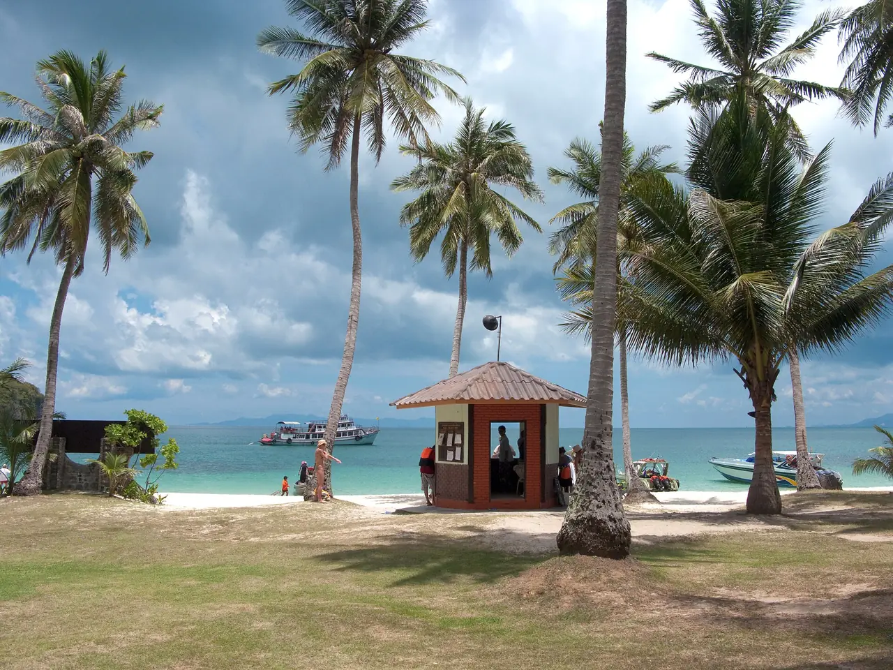
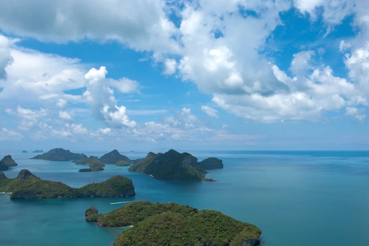
The park was established on 12 November 1980 and covers 42 islands, about 102 square kilometres, of which roughly 50 square kilometres is land (Wikipedia). It is a Ramsar wetland site. TAT describes an idyllic archipelago about 20 km from Ko Samui with around 40 small islands. The park headquarters and basic visitor facilities are on Ko Wua Ta Lap, the island at the centre of most itineraries, according to both TAT and Wikipedia. Most islands are uninhabited; the highest point is 396 m on Ko Phaluai.
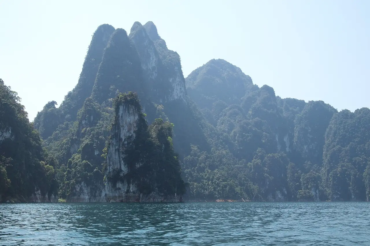
"Ang Thong" means "bowl of gold". The shapes are steep limestone cliffs, caves, sinkholes and inland sea lakes.
What most people see
TAT's description gives the core visit:
- Ko Wua Ta Lap. The centre of the archipelago, with beaches and a trail of about 400 metres to a summit viewpoint. From the top, visitors look over the islands and the Gulf of Thailand.
- The lagoon and its steps. A natural lagoon with a pathway of natural steps to a lookout over emerald water ringed by rock. TAT's adventure page describes the Ko Mae Ko viewpoint over an enclosed sea.
- Snorkelling islands. TAT names Ko Sam Sao, Ko Thai Phlo, Ko Wua Kan Tang and Ko Hin Dab, adding that Hin Dab has some of the longest sand stretches in the archipelago.
- Kayaking. TAT's adventure page describes a kayak route between the islands starting at Sam Sao and ending at Mae Ko, passing tall rock pillars. People without kayaks can hire a longtail boat to see several islands.
Entrance fees
The TAT listing shows a foreigner adult fee of 200 baht and a child fee of 100 baht, and its text adds that the national park charge for the main visitor islands is 300 baht for adults and 150 baht for children. The national parks authority's 2023 dataset matches this split: 200 and 100 baht for the park, 300 and 150 baht for the Wua Ta Lap and Mae Ko area. Because the dataset is dated 2 June 2023, fees may have changed, so read the notice at the pier or ask your tour operator. Many tours include the park fee in the ticket price, others add it at the dock; check which applies before comparing prices.
| Area | Foreigner adult | Foreigner child | Source |
|---|---|---|---|
| Park, general rate | 200 baht | 100 baht | TAT listing and 2023 DNP list |
| Wua Ta Lap and Mae Ko area | 300 baht | 150 baht | TAT text and 2023 DNP list |
Wikipedia adds that extra permits may be needed for activities such as kayaking, and that these are usually arranged by tour operators or bought on site. Confirm with your operator.
Getting there from Samui, Phangan and Tao
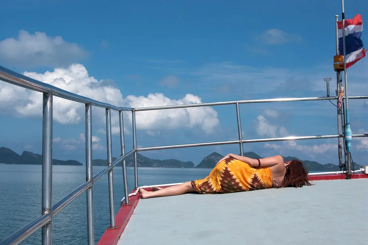
Almost all visitors use a day trip. TAT says tourists can sign up for one-day boat trips from Ko Samui or Ko Pha-ngan with local travel agents. Typical formats:
| Format | What it usually means |
|---|---|
| Speedboat day trip | Faster crossing, fixed stops, a short window at each island; usually busier |
| Larger boat or catamaran trip | Slower, often more comfortable; check lunch and snorkel gear |
| Kayak-focused trip | More time on the water paddling between islands |
| Private or small-group charter | Flexible timing; priced per boat |
Compare what is included: hotel transfer, park fee, lunch, snorkel equipment, kayak time, and the length of the stops on Wua Ta Lap and at the lagoon. Samui and Phangan are the usual bases named by TAT. If you need to get to Samui first, read Bangkok to Koh Samui, the Samui, Phangan and Tao ferry guide and Surat Thani to Koh Tao.
Sample day, from a Samui hotel
- Early morning: Hotel pickup and transfer to the pier. Bring swimwear, a towel, sun protection and cash.
- Morning: Boat out across the Gulf, with the first snorkel or swim stop.
- Late morning: Landing on Ko Wua Ta Lap; climb the viewpoint trail and visit the lagoon lookout if time allows.
- Lunch: Usually on a beach or the boat; confirm that it is included.
- Afternoon: Kayaking or a second snorkel stop, then the return crossing.
- Evening: Back at the pier or hotel, typically late afternoon.
Wear shoes with grip for the summit and lagoon steps, and bring a rain layer in showery months.
Season and weather
Wikipedia describes a tropical monsoon climate. The dry, cooler months are January to March; April to June is hot with generally calm seas; the monsoon season runs July to October with more rain and occasional rough water; and conditions improve in November and December. Sea conditions can cancel boats at short notice, so check with your operator, and do not rely on a single weather app. For the wider Gulf picture, see best time to visit Thailand by region and which Thai island to visit.
Safety and park rules
Wear a life jacket when offered, keep a safe distance from corals and do not stand on them. Take your litter with you and do not feed fish. Check that the boat has life jackets and a licence, and that kayaks and snorkel gear are in good condition. Emergency numbers: 191 police, 1669 medical, 1155 Tourist Police. See Thailand safety, scams and health for insurance and general advice.
Booking
Tour prices vary by boat type and season and we do not list them, because sellers set them and we cannot verify one price for the whole market. The Klook button in the booking boxes opens a Klook search for Koh Samui, because we have no registered Ang Thong product; it does not earn us a commission unless you book through a registered link. The official park fee is paid to the park, not to the tour agent, unless your ticket says it is included. Read the cancellation terms, because weather cancellations differ by seller.
If you are building a Samui trip, where to stay in Koh Samui compares areas, and the Koh Samui hub, Koh Phangan, Koh Tao and Surat Thani hubs link the rest. For a mainland add-on, see Khao Sok and Cheow Lan Lake.
FAQ
How much is the Ang Thong National Marine Park fee?
TAT lists 200 baht for a foreign adult and 100 baht for a child, with 300 and 150 baht for the main visitor islands (Wua Ta Lap and Mae Ko). The 2023 national parks list agrees. Confirm the current figure at the pier.
How far is Ang Thong from Koh Samui?
TAT gives about 20 km. Most visitors go on a one-day boat trip from Samui or Koh Phangan.
Can I go without a tour?
Day trips are the normal way, and TAT mentions local agents. Independent options exist, but check boats, fees and park rules with the park office.
What should I see?
The viewpoint trail on Ko Wua Ta Lap (about 400 m to the summit), the lagoon lookout, snorkelling at islands such as Sam Sao and Thai Phlo, and a kayak route to Mae Ko.
When is the best time to go?
January to March is cooler and drier; April to June is hot with calm seas; July to October brings monsoon rain and some rough seas, per Wikipedia. Operators decide on the day.
Is it suitable for children?
Many tours take families, but the summit trail has steps. Check the age rules and life jacket sizes with the operator.
Is there accommodation in the park?
TAT mentions accommodation and a campsite on the islands. Book through the park or an authorised operator.
Official sources and further reading
- Tourism Authority of Thailand: Mu Ko Ang Thong Marine National Park (distance, islands, fees, contact)
- TAT adventure travel: Mu Ko Ang Thong kayaking
- Department of National Parks, Wildlife and Plant Conservation (entrance fee dataset dated 2 Jun 2023)
- Wikipedia: Mu Ko Ang Thong National Park (area, islands, Ramsar status)
- Department of National Parks, Wildlife and Plant Conservation
Prices, schedules and entry rules change. Figures here are approximate as of 2026; always confirm on the official or operator page before you book. Spotted something out of date? Tell us.